1 active Westland Tai Poutini alert
- CautionActive landslide zones on Copland TrackDo not stop in either of Copland Track’s signposted active landslide zones; take extra care during and after heavy rain.Official details
#4 of 35 sights in Westland Tai Poutini
Sight · Westland Tai Poutini National Park
The 6.4 km south-bank walk to Fox Glacier's final viewpoint.
Overview
Map
Plan your stop

The highest, rockiest slopes around here are a summer buffet for grizzly bears.
Westland Tai Poutini Tour Guide
Parkwolf is a GPS audio tour guide for Westland Tai Poutini National Park. As you drive, it chimes in with what’s ahead: hidden gems, upcoming stops, history, geology, and wildlife, right through your car’s speakers.
See the Westland Tai Poutini audio tourRecorded for this place
Fox Glacier South Side: Forest and a Distant View“You're nearing the start of the Fox Glacier South Side walk, a two-hour return outing through rainforest to a distant glacier view.”
Plays as you drive up to Fox Glacier South Side Viewpoint in the Parkwolf Westland Tai Poutini Tour Guide.
More stories near here in the app
“Fantastic app with many points of information… It’s great to just turn on while you’re driving and it gives you an audio tour of the national Park. We love it!!!!”


Guide
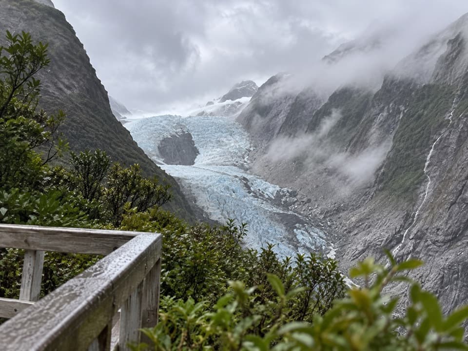
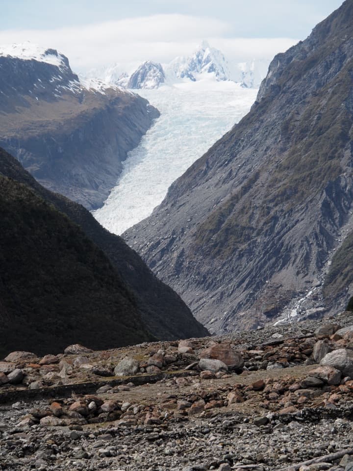
Fox Glacier South Side Viewpoint is the last of two glacier viewpoints on the south-bank walkway. It looks up a steep valley to Fox Glacier, Te Moeka o Tuawe, from hundreds of metres away. This is a proper walk for a glacier view, not a quick pullout or a way onto the ice: the return route is 6.4 km and takes about two hours, with roughly 100 m of climbing and descent. It's an easy-to-intermediate track, but allow the time for the full outing.
From Fox Glacier township, drive about 2 km south, cross Fox River Bridge and park on the left. The first glacier view is roughly 40 minutes along the track. The final viewpoint is beyond the old car park, another 10 minutes downhill through rainforest. Don't turn around at the first opening if you want the route's last and closest viewpoint. If you're cycling, leave your bike at the old car park and finish this last stretch on foot. DOC lists toilets in the township.
The track follows the south bank of Fox River through ancient podocarp rainforest and crosses old glacial moraine. The forest has taken root on moraine surfaces of different ages, so this walk is also a look at how the glacier has shaped and left behind the valley. At the end, the trees give way to a wide, rocky foreground and the ice threading between steep mountain walls.
Fox Glacier's Māori name is Te Moeka o Tuawe. DOC explains that the glacier has added significance for local Māori as the moeka, or final resting place, of their ancestor Tuawe. That story gives the place a meaning beyond the ice and the view.
The glacier face remains hundreds of metres away; this is a valley overlook, not glacier access. Stay at the signed viewpoint and don't continue beyond it: DOC warns of extreme flood danger farther up the valley. Heavy rain can raise floodwater within minutes, and glacial rivers can surge. For a photo, keep some moraine in the bottom of the frame and the glacier between the valley walls; a tight crop loses the scale that makes this view work. Dogs aren't allowed on the track.
Wildlife
 89 sightingsKeaMost seen around 10 AMSighting map
 10 sightingsBlue DuckMost seen around 5 PMSighting map
 80 sightingsKererūMost seen around 7 AMSighting map
 38 sightingsTūīMost seen around 5 AMSighting map
 10 sightingsNew Zealand FalconMost seen around 10 AMSighting map
 28 sightingsYellow-crowned ParakeetMost seen around 8 AMSighting map
Sighting maps show where each species has been reported across Westland Tai Poutini. Wildlife moves, so no sighting is guaranteed.
Keep exploring
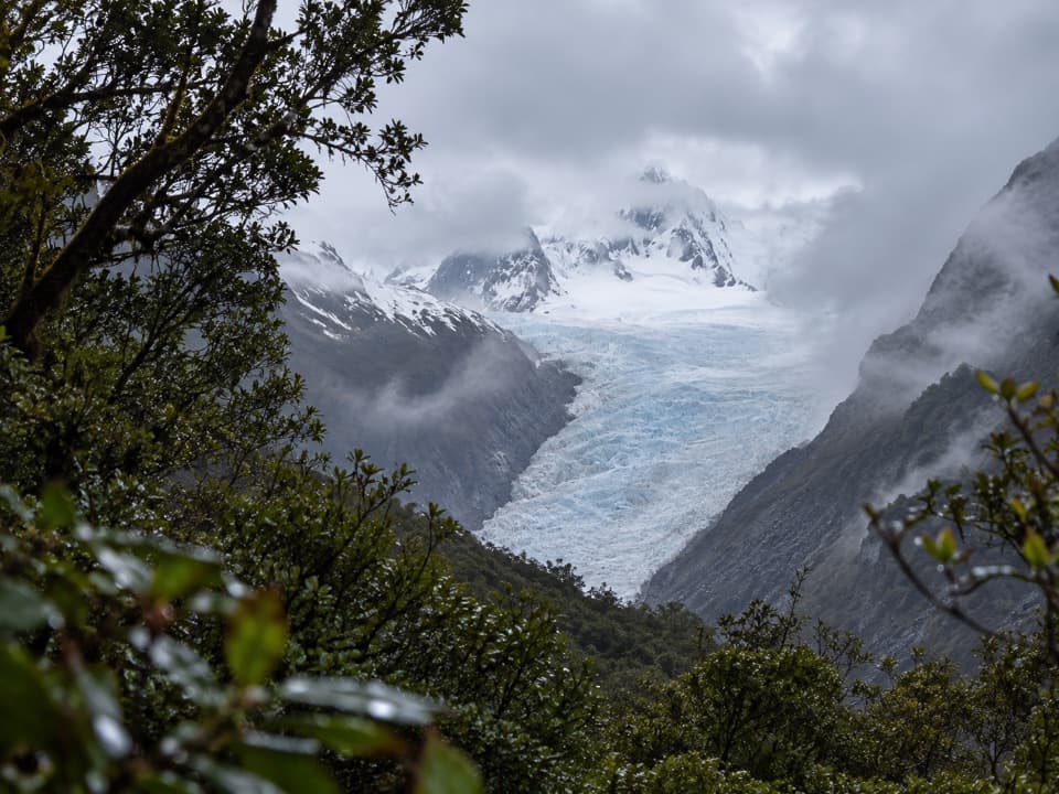 EasyFox Glacier South Side Walkway/Cycleway6.4 km · 2 hr · 2.3 km awayForest walking to a glacier view 2.6 km from the ice.
 EasyMoraine Walk4 km · 1.5 hr · 2.3 km awayA ferny loop across three ages of glacier moraine.
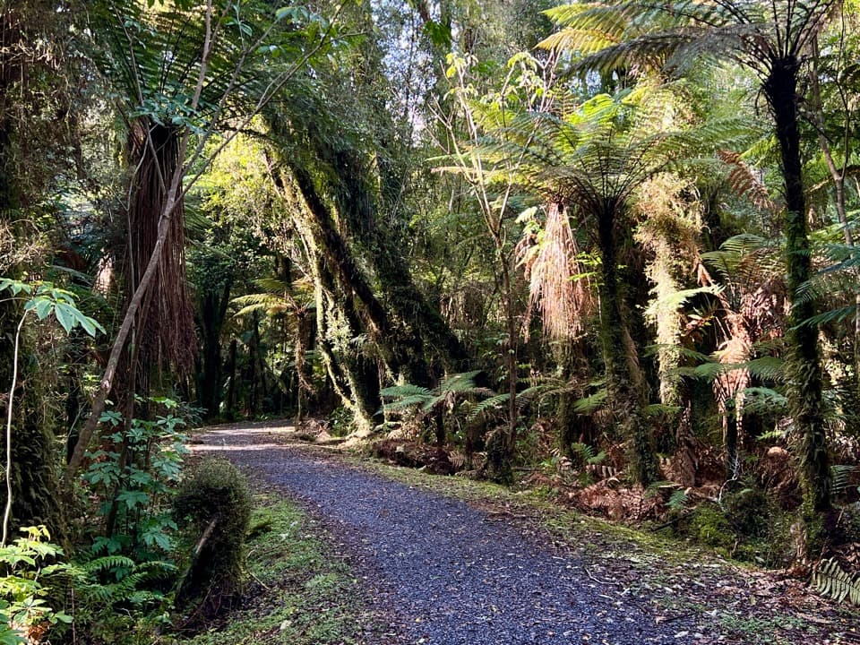 EasyTe Weheka Walkway/Cycleway5 km · 1.3 hr · 2.8 km awayA forest walk to an active landslide viewpoint in Fox Glacier Valley.
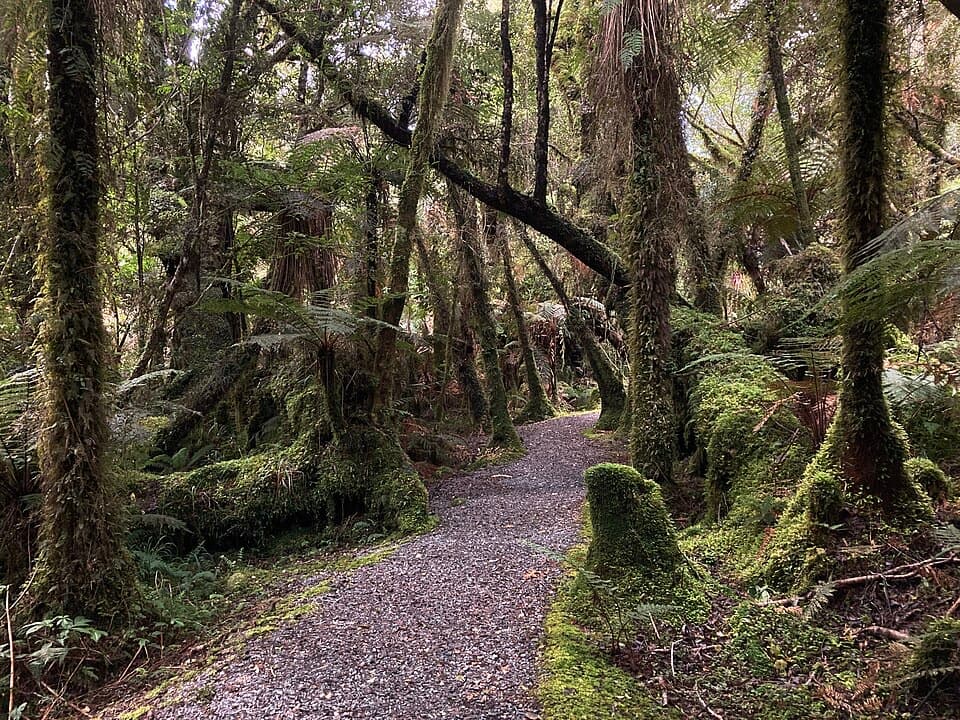 EasyMinnehaha Walk1.2 km · 20 min · 2.9 km awayA short rainforest loop with a chance of glowworms after dark.
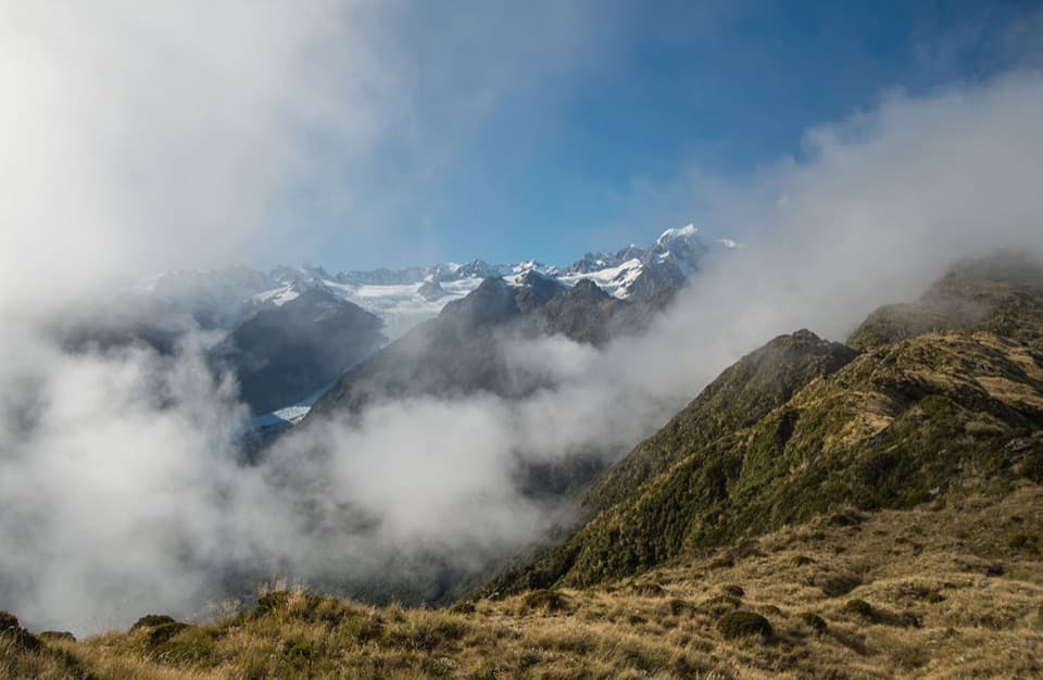 ChallengingMount Fox Route7.4 km · 8 hr · 3.1 km awayA steep expert climb to glacier and coast views.
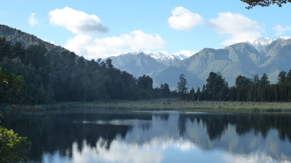 EasyLake Matheson/Te Ara Kairaumati Walk4.4 km · 1.5 hr · 6.8 km awayA rainforest circuit to a mirror lake below the Southern Alps.
 EasyLake Matheson Jetty Lookout Walk2.4 km · 45 min · 6.8 km awayA short rainforest walk to Lake Matheson's mountain reflections.
 ModerateLake Gault Track8 km · 3 hr · 6.9 km awayA steady forest climb ends at a glacial lake lookout.
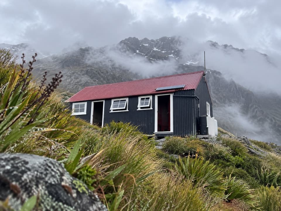 Lodging · 6.7 km awayChancellor HutA 12-bunk historic hut on a glacial shelf above Fox Glacier.
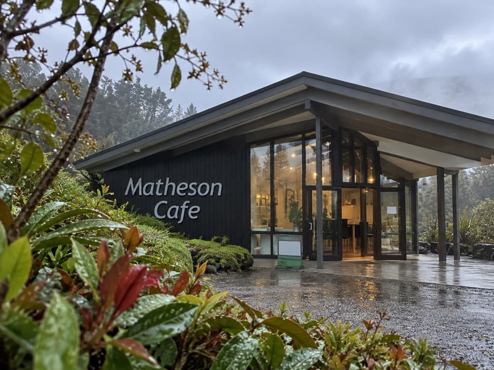 Restaurant · 6.9 km awayMatheson CaféBreakfast with Aoraki and Tasman in view.
 Sight · 7.7 km awayLake Matheson Jetty LookoutA short rainforest walk reaches the lake’s famous mountain mirror.
 Sight · 8 km awayLake Gault LookoutA lakeside shelter with Southern Alps views, reached on foot.
 Sight · 8 km awayReflection IslandFor the Alps doubled, aim for a still dawn.
Parkwolf’s Westland Tai Poutini ranking

The audio tour guide for the drive, plus offline maps, trails, and wildlife heatmaps for when the signal drops.