Best time to go
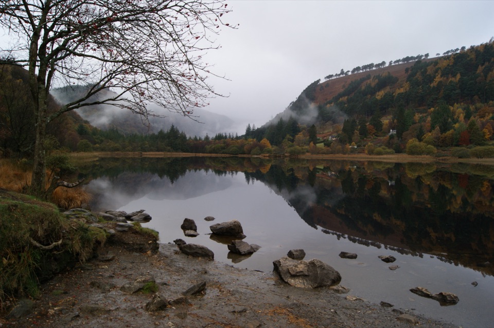
Clear, dry conditions make for better views and better footing. Low cloud can hide the lake and the surrounding hills entirely. An early start or a weekday may be calmer, though you cannot count on having the place to yourself.

Sight · Wicklow Mountains National Park
A dark corrie lake reached by a steep, boggy upland walk
Overview
Map
Plan your stop

The highest, rockiest slopes around here are a summer buffet for grizzly bears.
Wicklow Mountains Tour Guide
Parkwolf is a GPS audio tour guide for Wicklow Mountains National Park. As you drive, it chimes in with what’s ahead: hidden gems, upcoming stops, history, geology, and wildlife, right through your car’s speakers.
Recorded for this place
Glenmacnass Waterfall“You’re nearing Glenmacnass Waterfall on the Old Military Road. The useful thing to know is that the car park sits above the falls, with a short walk toward the water.”
Plays as you drive up to Lough Ouler in the Parkwolf Wicklow Mountains Tour Guide.
More stories near here in the app
“Fantastic app with many points of information… It’s great to just turn on while you’re driving and it gives you an audio tour of the national Park. We love it!!!!”


Guide
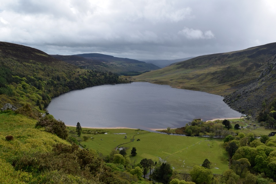
Lough Ouler is a lake in Wicklow Mountains National Park, set on the north-eastern slope of Tonelagee at roughly 596 m. The dark water sits in an open corrie, a bowl of grass, rock and heather, with upland views around it.
This is a short walk by distance but a demanding one underfoot. If you are not comfortable with wet ground, steep slopes and finding your own way when the path fades, choose a different day or a different walk.
Wildlife
 204 sightingsSika DeerMost seen around 7 AMSighting map
 18 sightingsRed DeerMost seen around 7 AMSighting map
 15 sightingsGrey HeronMost seen around 7 PMSighting map
 11 sightingsCommon RavenMost seen around 8 AMSighting map
 28 sightingsEuropean Common FrogMost seen around 7 PMSighting map
 11 sightingsViviparous LizardMost seen around 11 AMSighting map
Sighting maps show where each species has been reported across Wicklow Mountains. Wildlife moves, so no sighting is guaranteed.
Keep exploring
ChallengingTonelagee & Lough Ouler Trail7.9 km · 3.8 hr · 2.4 km awayHeart-shaped corrie lake, then a boggy climb to a windswept summit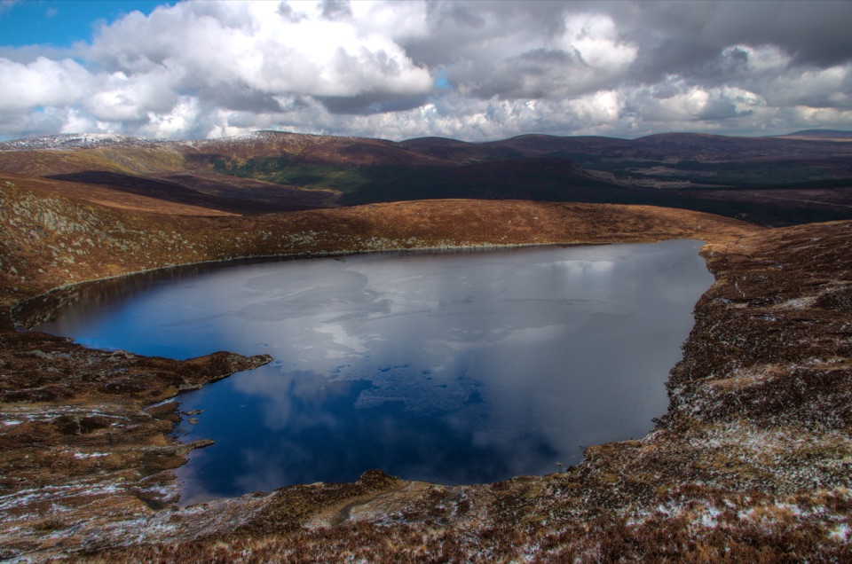 ModerateWicklow Gap to Tonelagee3.9 km · 2.3 hr · 2.6 km awayShort, steep open-mountain climb to a trig point above Lough Ouler
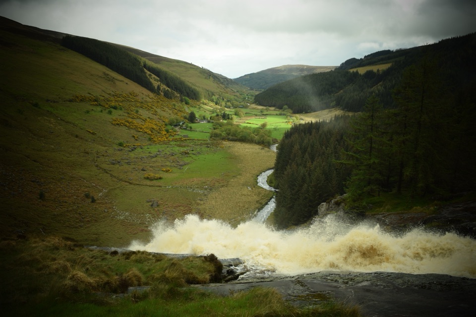 ChallengingMullaghcleevaun Loop16.3 km · 6.5 hr · 3.5 km awayBog, a hidden corrie lake and a waterfall finish high above Glenmacnass
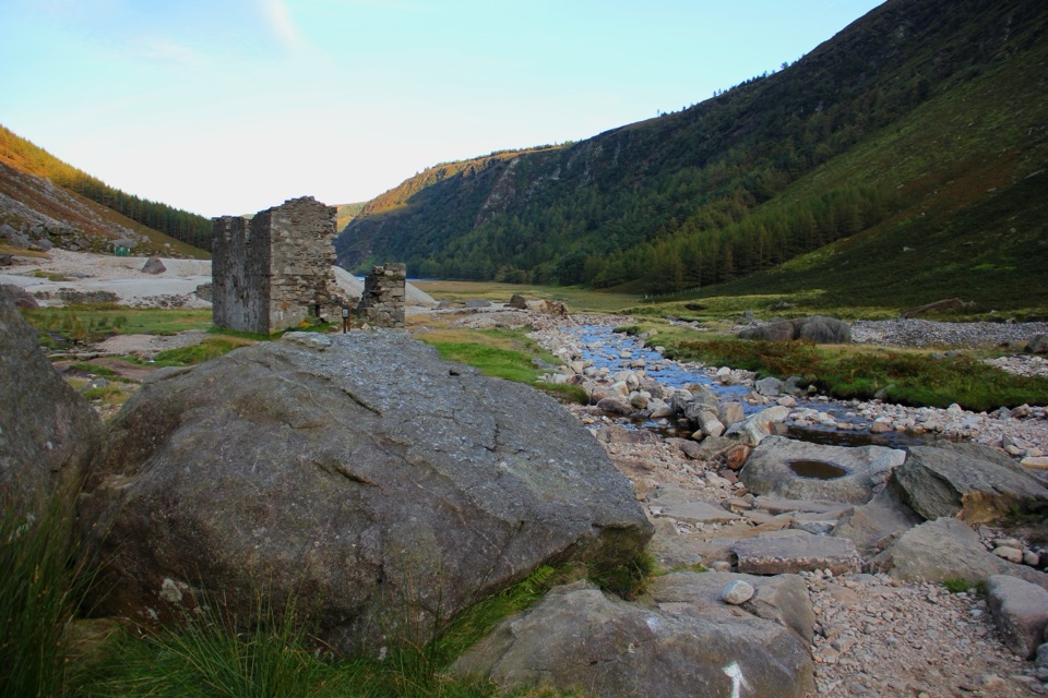 ChallengingThe Miners' Way16.9 km · 6 hr · 4.1 km awayThree lead-mining valleys linked by a tough 16.9 km upland traverse
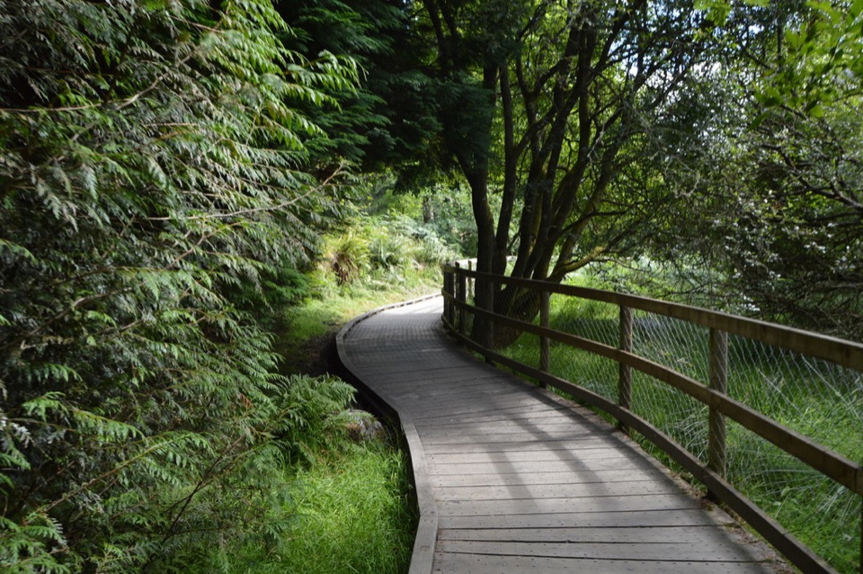 ModerateWoodland Road (Silver Route)4.8 km · 1.8 hr · 6.2 km awayMixed woodland, river path and lake boardwalk on a 4.8 km loop
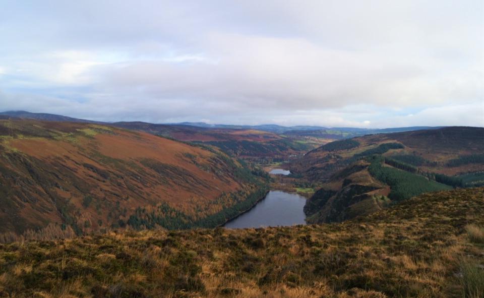 ChallengingDerrybawn, Cullentragh Mountain, Mullacor, and Lugduff SE Top Loop14.3 km · 5.8 hr · 6.4 km awayFour summits, boggy ridges and lake views on a long Glendalough loop
 ChallengingSpinc Trail (Short Route)6 km · 2.3 hr · 6.4 km awaySteep climb past Poulanass to a boardwalk high above Upper Lake
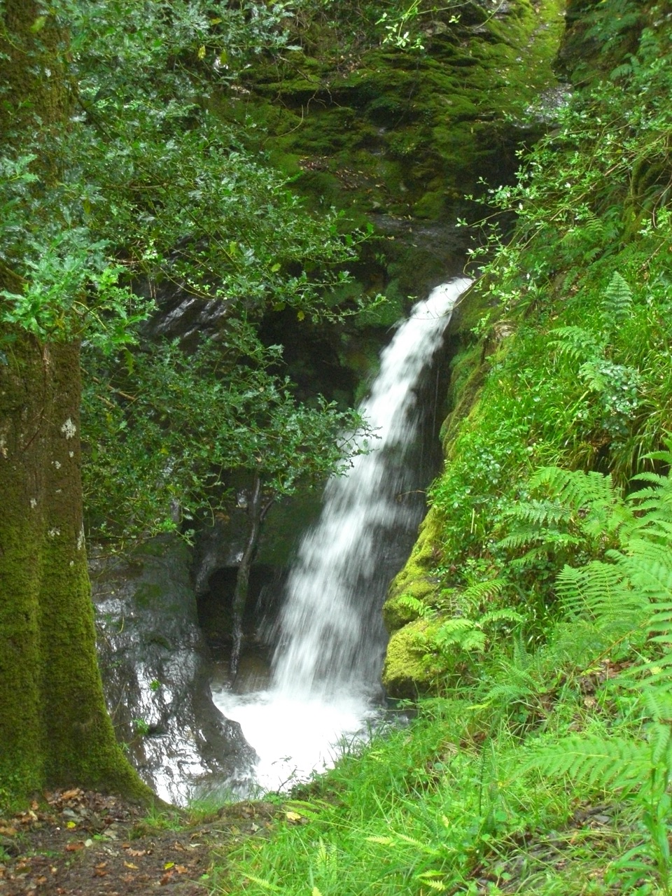 ModeratePoulanass and St. Kevin’s Cell1 km · 45 min · 6.4 km awaySteep waterfall climb to a monastic ruin above the Upper Lake
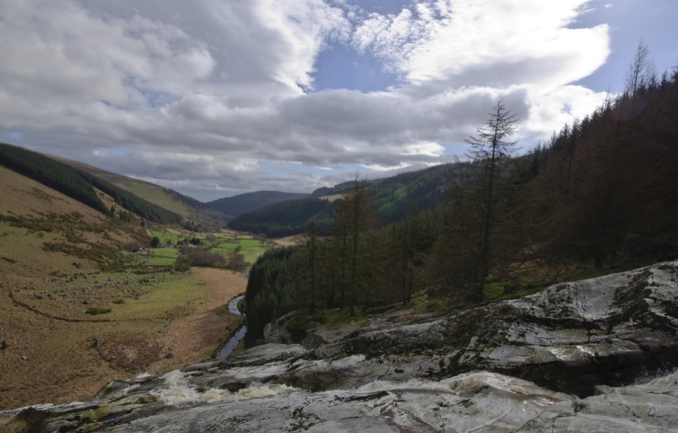 Sight · 2.5 km awayGlenmacnass WaterfallWide cascade down bare rock, two minutes below the car park
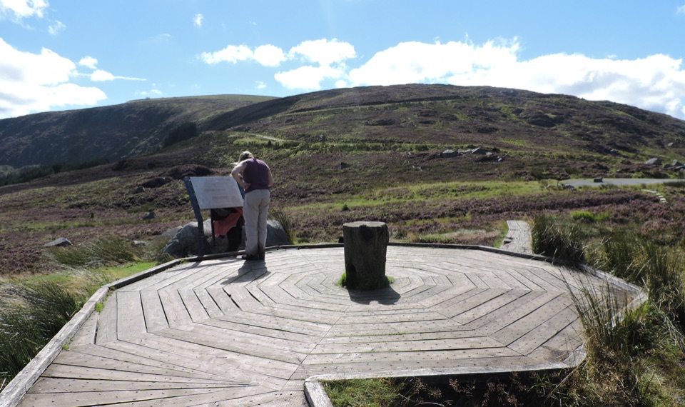 Scenic pullout · 2.6 km awayWicklow Mountains Viewing PlatformCircular timber boardwalk over open bog, broad mountain views
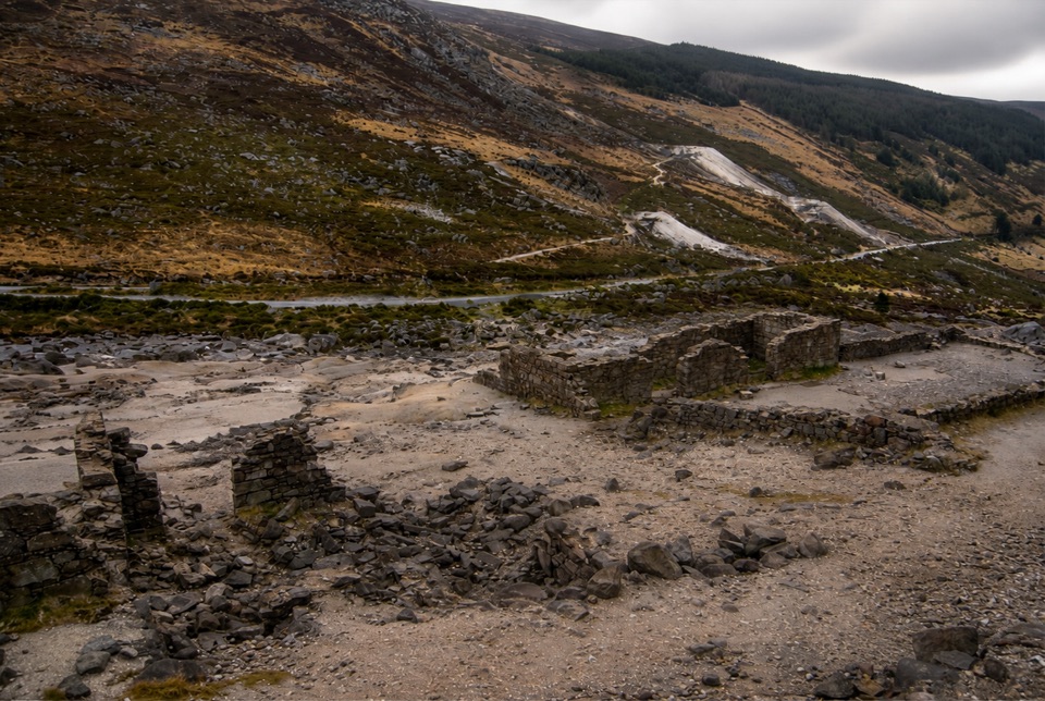 Sight · 4.1 km awayHero MineHero Mine: low stone lead-mine ruins under bare rocky slopes
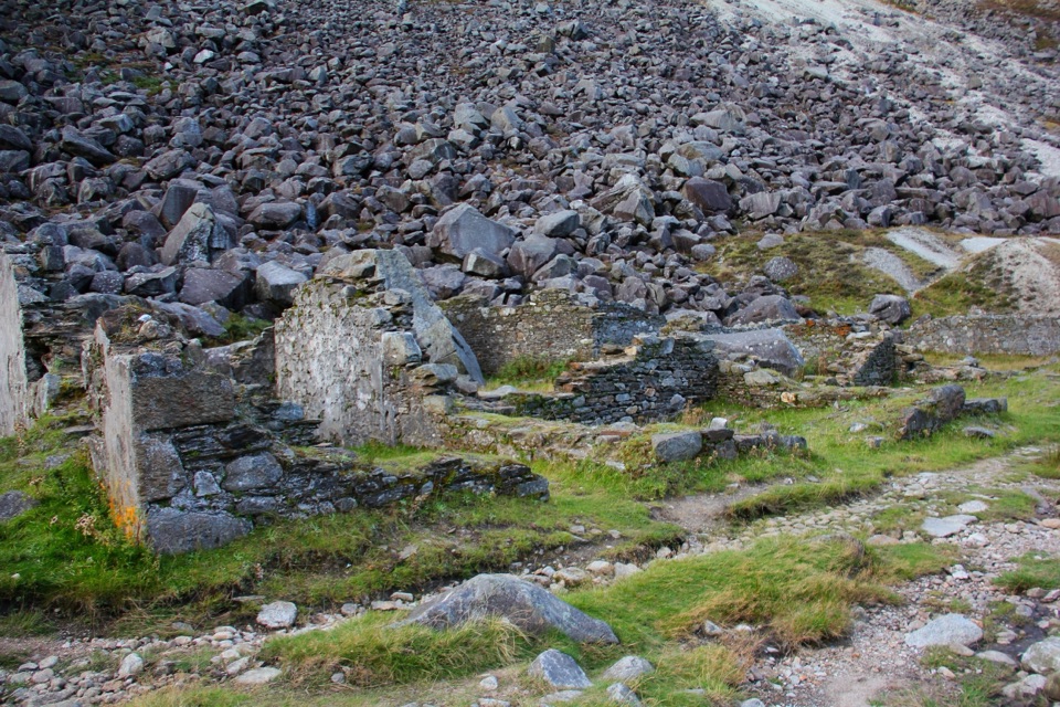 Sight · 5.9 km awayMiners' VillageStone ruins of a lead ore works beyond the Upper Lake
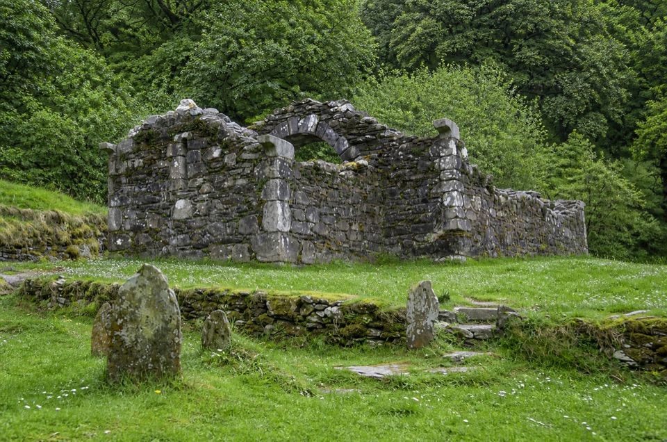 Sight · 6 km awayTemple-na-Skellig Shore ViewBinoculars reveal a roofless church low on the far wooded bank
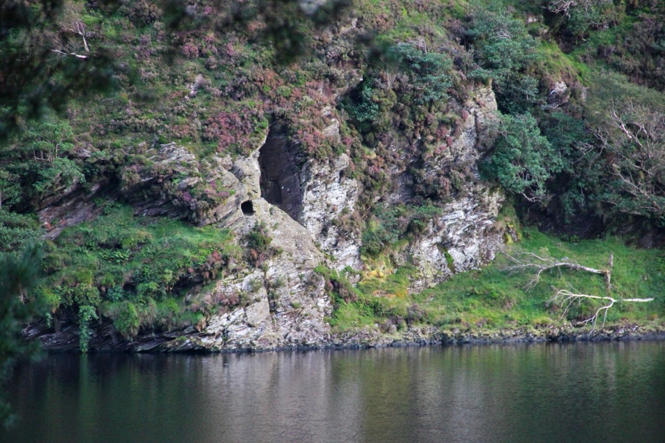 Sight · 6.1 km awaySt Kevin's Bed ViewCliffside hermit's cave, seen across Upper Lake from a pine-shaded path
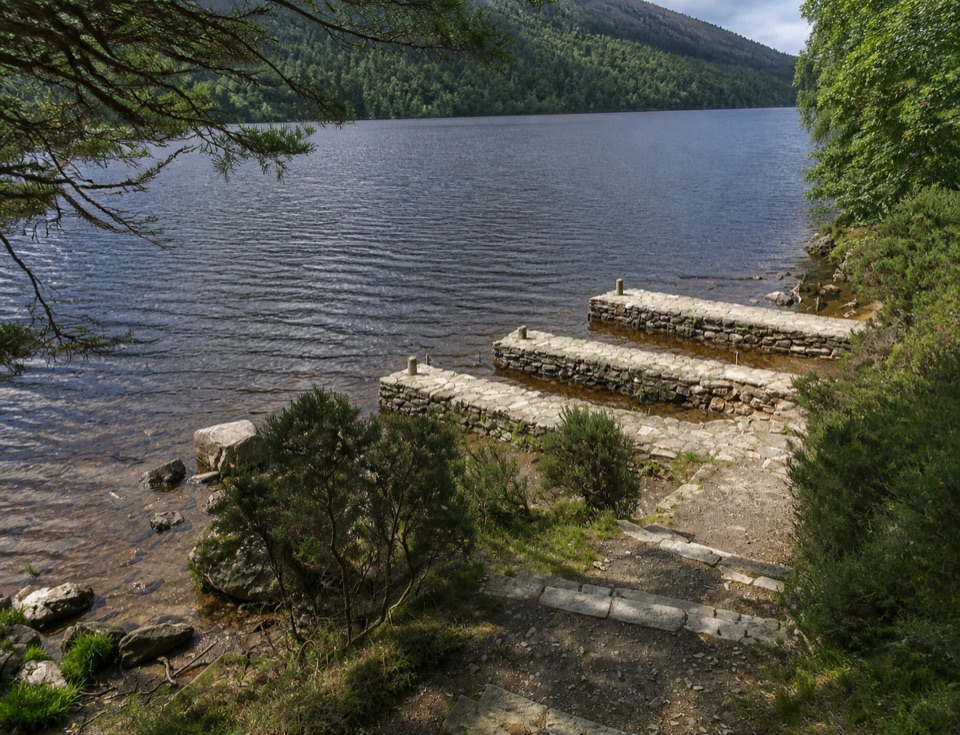 Sight · 6.1 km awayThree Stone DocksThree Stone Docks: low stone piers on the glacial Upper Lake
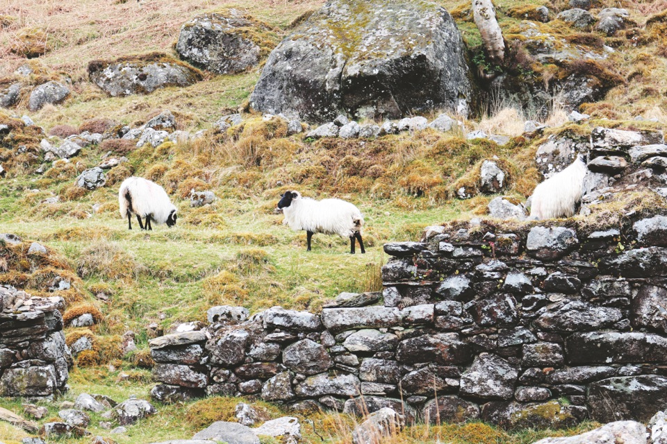 Sight · 6.1 km awayLough DanBoomerang-shaped ribbon lake, dark and quiet, best seen from above
Parkwolf’s Wicklow Mountains ranking

The audio tour guide for the drive, plus offline maps, trails, and wildlife heatmaps for when the signal drops.