Parking
Use Turlough Hill Car Park beside the R756 at Wicklow Gap. The worn path starts roughly 180 m from the lot; walk the short link to the mountain route. A nearby viewing platform car park is a separate access.
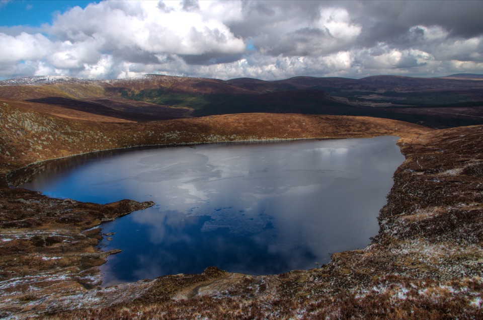
Wicklow Mountains National Park, WW
Short, steep open-mountain climb to a trig point above Lough Ouler
Overview
An out-and-back climb from the Wicklow Gap to the summit of Tonelagee, listed at 2.4 miles (about 3.9 km) round trip with a moderate grade and roughly 2 to 2.5 hours on foot. The mapped mountain path runs about 1.8 km one way from the roadside up to the summit, and you return along the same corridor. Expect around 330 m of climbing, most of it early.
Fit walkers often reach the trig point in well under an hour, but the descent on tired legs can feel slower than expected.
 Parkwolf’s verdictThe climb and the payoff
Map & elevation
Plan your hike

The highest, rockiest slopes around here are a summer buffet for grizzly bears.
Wicklow Mountains Tour Guide
Parkwolf is a GPS audio tour guide for Wicklow Mountains National Park. As you drive, it chimes in with what’s ahead: hidden gems, upcoming stops, history, geology, and wildlife, right through your car’s speakers.
Recorded for this trailhead
Wicklow Gap and Tonelagee“Wicklow Gap is coming up, with a short viewpoint stop and a longer climb toward Tonelagee.”
Plays as you drive up to this trailhead in the Parkwolf Wicklow Mountains Tour Guide.
More stories near here in the app
“Fantastic app with many points of information… It’s great to just turn on while you’re driving and it gives you an audio tour of the national Park. We love it!!!!”


Trail guide
This is open mountain, not a groomed trail. The line on the ground is usually visible as a worn footpath, but it is unmarked, with no route signs or waymarks to follow.
Boots with grip, waterproofs and warm layers are sensible year round.
Use Turlough Hill Car Park at the Wicklow Gap, reached from the R756. The mapped path does not begin in the car park itself; the start point sits roughly 180 m away, so walk a short link from the parking area to pick up the climb. A separate viewing platform car park nearby is not the trail access.
Dogs are welcome on national park ground but must be kept on a lead at all times. Stay on the worn path where you can to limit damage to the bog and heather, and take everything back out with you.
The trade-off for the short distance is a sustained steep pull, rough underfoot conditions and no signage or shelter. If you want more of a day out and the full circuit of the lake, the longer Tonelagee and Lough Ouler loop starting from Glenmacnass is a separate and more demanding outing, with greater distance, muddier ground, a river crossing to consider and weaker route definition. Treat it as a different plan rather than an extension of this walk.
Wildlife
 204 sightingsSika DeerMost seen around 7 AMSighting map
 18 sightingsRed DeerMost seen around 7 AMSighting map
 15 sightingsGrey HeronMost seen around 7 PMSighting map
 11 sightingsCommon RavenMost seen around 8 AMSighting map
 28 sightingsEuropean Common FrogMost seen around 7 PMSighting map
 11 sightingsViviparous LizardMost seen around 11 AMSighting map
Sighting maps show where each species has been reported across Wicklow Mountains. Wildlife moves, so no sighting is guaranteed.
Keep exploring
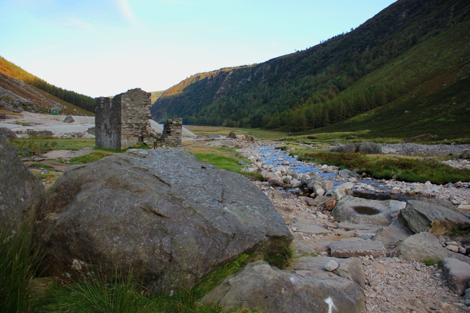 ChallengingThe Miners' Way16.9 km · 6 hr · 3.1 km awayThree lead-mining valleys linked by a tough 16.9 km upland traverse
 ChallengingTonelagee & Lough Ouler Trail7.9 km · 3.8 hr · 4.8 km awayHeart-shaped corrie lake, then a boggy climb to a windswept summit
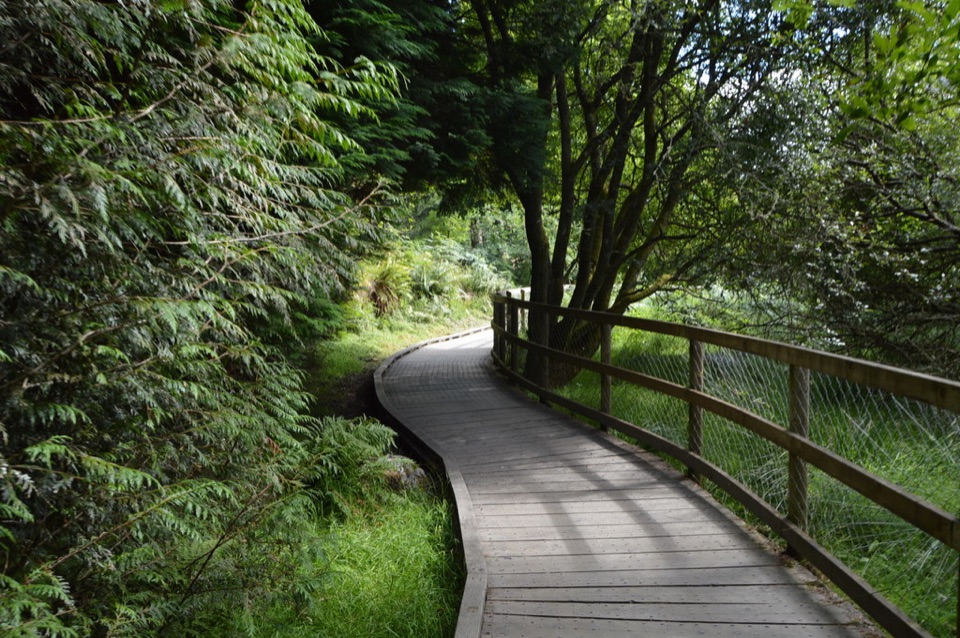 ModerateWoodland Road (Silver Route)4.8 km · 1.8 hr · 5.3 km awayMixed woodland, river path and lake boardwalk on a 4.8 km loop
 ChallengingSpinc and Glenealo Valley (White Route)9.5 km · 3.3 hr · 5.4 km awaySteep steps to cliff-top views over two lakes and a deer-filled valley
 ChallengingSpinc and the Wicklow Way (Red Route)11.5 km · 4.3 hr · 5.4 km awayBoardwalk cliff path, twin-lake views and a hard 11.5 km mountain loop
 EasyMiners’ Road Walk (Purple Route)5 km · 1.2 hr · 5.4 km awayFlat lakeshore track through Scots pine to a ruined mining village
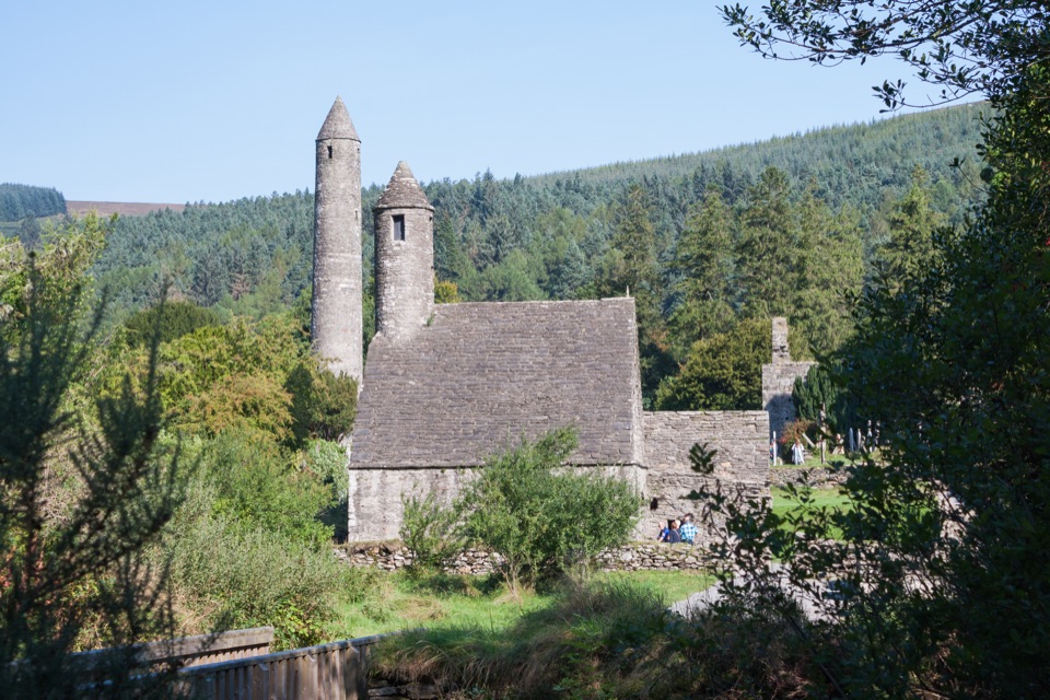 EasyGreen Road Walk3.6 km · 50 min · 5.4 km awayFlat lakeside boardwalk loop past the round tower and Lower Lake woodland
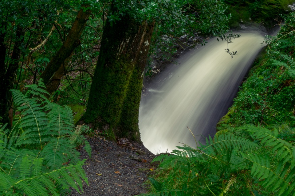 ModeratePoulanass (Pink Route)1.6 km · 45 min · 5.4 km awayShort but steep pink loop past a waterfall and plunge pools
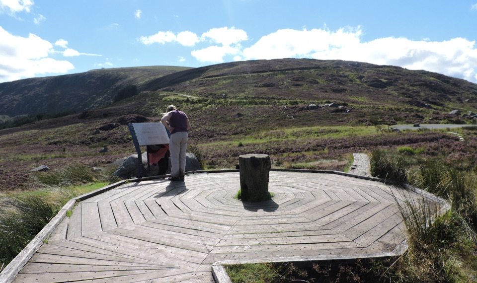 Scenic pullout · 0.1 km awayWicklow Mountains Viewing PlatformCircular timber boardwalk over open bog, broad mountain viewsSight · 2.6 km awayLough OulerA dark corrie lake reached by a steep, boggy upland walk
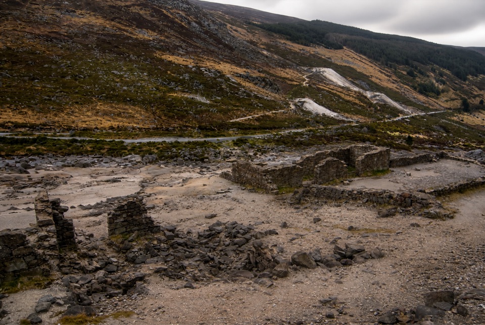 Sight · 3.1 km awayHero MineHero Mine: low stone lead-mine ruins under bare rocky slopes
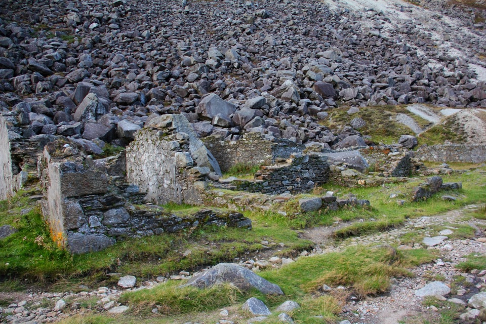 Sight · 4.1 km awayMiners' VillageStone ruins of a lead ore works beyond the Upper Lake
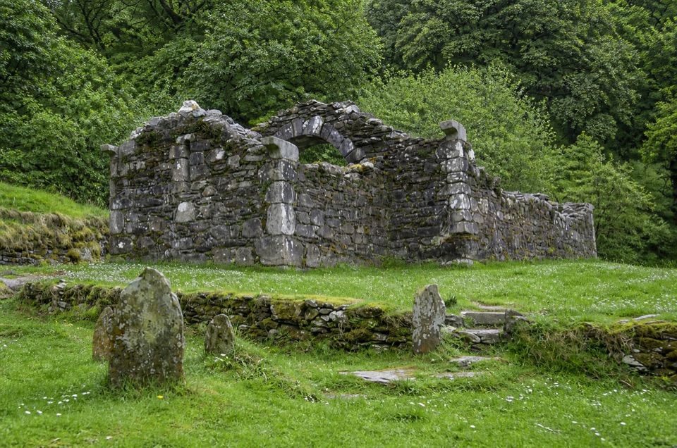 Sight · 4.8 km awayTemple-na-Skellig Shore ViewBinoculars reveal a roofless church low on the far wooded bank
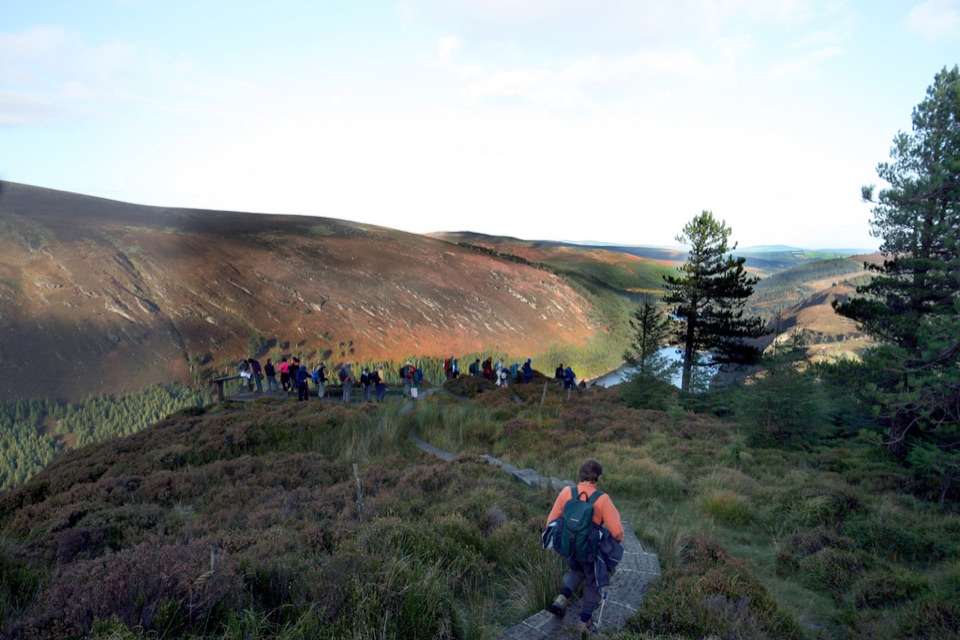 Sight · 4.8 km awayGlendalough ViewpointEarn a boardwalk-high view over both lakes and the Miners' Village
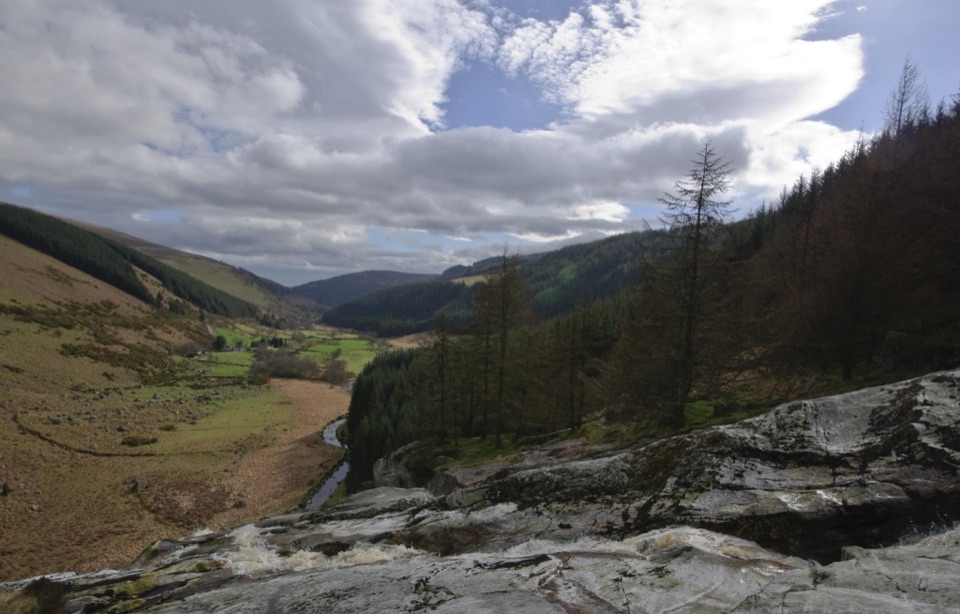 Sight · 4.8 km awayGlenmacnass WaterfallWide cascade down bare rock, two minutes below the car park
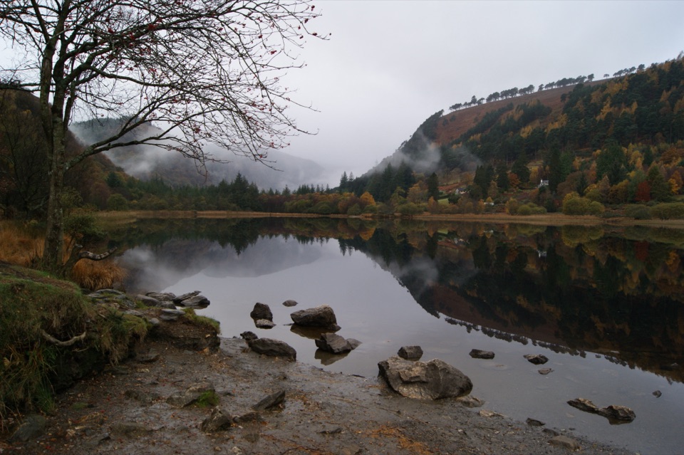 Sight · 4.8 km awayGlendalough Upper LakeA glacier-carved lake under steep cliffs, with a sandy eastern shore
Parkwolf’s Wicklow Mountains ranking
Spinc and Glenealo Valley (White Route)Challenging · 9.5 km The Wicklow WayChallenging · 130 km
 Djouce Mountain from J.B. Malone Car ParkChallenging · 7.4 kmTonelagee & Lough Ouler TrailChallenging · 7.9 kmSpinc and the Wicklow Way (Red Route)Challenging · 11.5 kmMiners’ Road Walk (Purple Route)Easy · 5 km
The audio tour guide for the drive, plus offline maps, trails, and wildlife heatmaps for when the signal drops.