Parking
Wider Glendalough parking is at the Visitor Centre and Upper Lake; do not assume space at the Brockagh Forest Entrance.
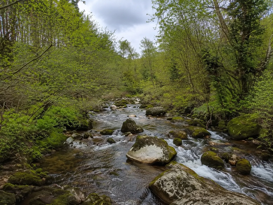
Wicklow Mountains National Park, WW
Easy 4.5 km forest loop at Brockagh, touching the Wicklow Way
Overview
The Brockagh Blue Loop is the shorter of the two waymarked loops at Brockagh, graded Easy and undulating through Brockagh Forest while touching the Wicklow Way. The route is about 4.5 km, and published figures vary slightly around 4.3 to 4.5 km.
Allow an estimated 1.5 to 2 hours, adjusting for your own pace, stops and ground conditions on the day.
Map & elevation
Plan your hike

The highest, rockiest slopes around here are a summer buffet for grizzly bears.
Wicklow Mountains Tour Guide
Parkwolf is a GPS audio tour guide for Wicklow Mountains National Park. As you drive, it chimes in with what’s ahead: hidden gems, upcoming stops, history, geology, and wildlife, right through your car’s speakers.
Recorded for this trailhead
Brockagh Mountain“You’re approaching the walking access for Brockagh Mountain near Laragh. The southeast top already gives you views over Glendalough and both lakes, before you reach the main summit.”
Plays as you drive up to this trailhead in the Parkwolf Wicklow Mountains Tour Guide.
More stories near here in the app
“Fantastic app with many points of information… It’s great to just turn on while you’re driving and it gives you an audio tour of the national Park. We love it!!!!”


Trail guide
Nearby points include the Brockagh Resource Centre, Laragh, the forest entrance and the Wicklow Way link.
Surfaces are forest roads and tracks. Expect uneven ground, loose stone and exposed roots, along with wet or slippery conditions after rain. Supportive footwear with grip is sensible, and take care on the looser, rockier stretches. The loop undulates rather than climbing steadily, with about 159 m of ascent across the circuit.
Wider Glendalough parking is at the Visitor Centre and the Upper Lake, so plan for one of those and allow for the additional walking or driving distance to reach the forest entrance. Space at the forest entrance itself should not be assumed.
Dogs are allowed in Wicklow Mountains National Park, and park guidance is to keep them on a lead. Keep yours on a lead throughout the loop, including where the route touches the Wicklow Way.
Wildlife
 204 sightingsSika DeerMost seen around 7 AMSighting map
 18 sightingsRed DeerMost seen around 7 AMSighting map
 15 sightingsGrey HeronMost seen around 7 PMSighting map
 11 sightingsCommon RavenMost seen around 8 AMSighting map
 28 sightingsEuropean Common FrogMost seen around 7 PMSighting map
 11 sightingsViviparous LizardMost seen around 11 AMSighting map
Sighting maps show where each species has been reported across Wicklow Mountains. Wildlife moves, so no sighting is guaranteed.
Keep exploring
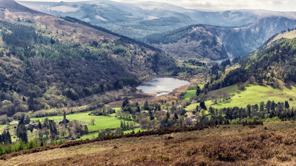 ModerateBrockagh Mountain10.6 km · 3.8 hr · 0.3 km awaySustained climb from Laragh to open heather and broad Glendalough views
 ChallengingThe Spinc and Camaderry Loop17.9 km · 6.8 hr · 1.7 km awayBoardwalk cliffs above the lakes, then open ground to Camaderry
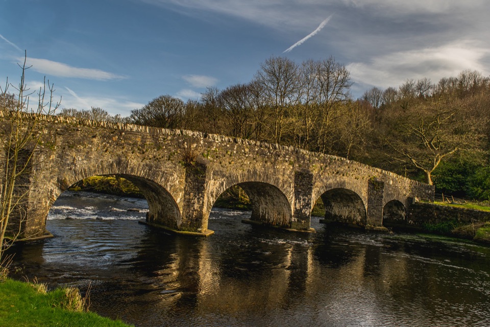 ModerateThe Avonmore Way12.9 km · 3.5 hr · 1.7 km awayOne honest climb, ridge-road views, then bluebell oakwoods by the river
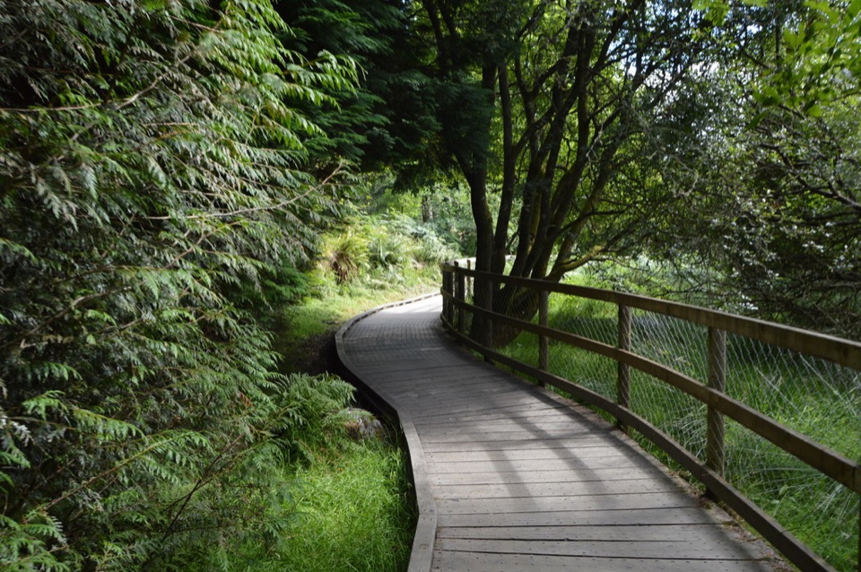 ModerateWoodland Road (Silver Route)4.8 km · 1.8 hr · 3 km awayMixed woodland, river path and lake boardwalk on a 4.8 km loop
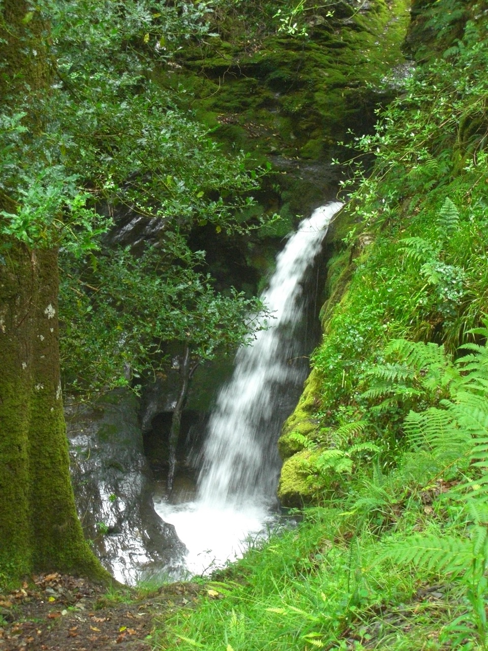 ModeratePoulanass and St. Kevin’s Cell1 km · 45 min · 3.1 km awaySteep waterfall climb to a monastic ruin above the Upper Lake
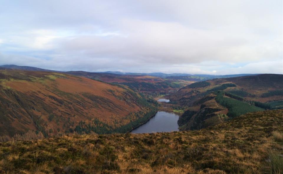 ChallengingDerrybawn, Cullentragh Mountain, Mullacor, and Lugduff SE Top Loop14.3 km · 5.8 hr · 3.1 km awayFour summits, boggy ridges and lake views on a long Glendalough loopChallengingSpinc Trail (Short Route)6 km · 2.3 hr · 3.1 km awaySteep climb past Poulanass to a boardwalk high above Upper Lake
 ChallengingSpinc and Glenealo Valley (White Route)9.5 km · 3.3 hr · 3.1 km awaySteep steps to cliff-top views over two lakes and a deer-filled valley
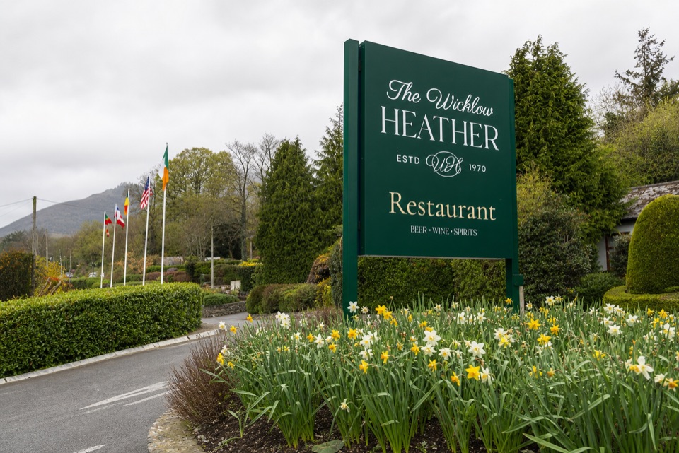 Restaurant · 0.1 km awayWicklow Heather RestaurantFifty-plus years of Irish cooking beside rare literary first editions
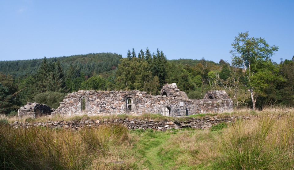 Sight · 0.9 km awaySaint Saviour's PrioryFinely carved Romanesque arch and window, reached on a woodland walk
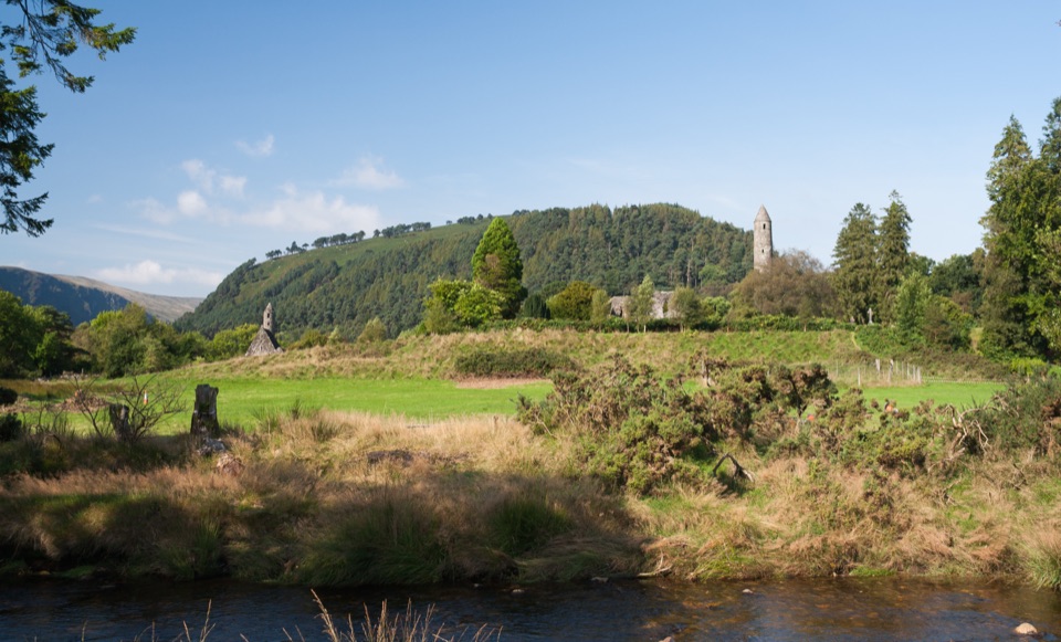 Sight · 1.7 km awayGlendalough Monastic Site and Visitor CentreSixth-century round tower and stone churches in a glacier-carved valley
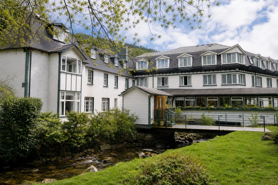 Lodging · 1.8 km awayThe Glendalough HotelStay in the valley itself, then walk before the crowds arrive
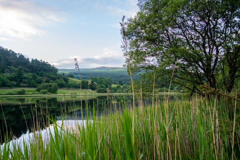 Sight · 2.3 km awayGlendalough Lower LakeReed-fringed glacial water on the boardwalk route to the Upper Lake
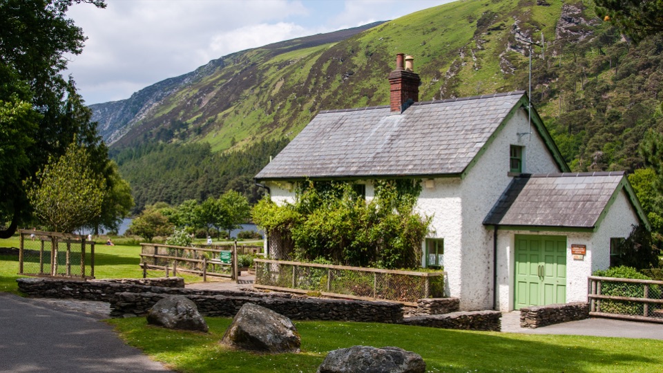 Visitor center · 3.1 km awayWicklow Mountains National Park Information OfficeMaps, knowledgeable staff and a nature display near Upper Lake
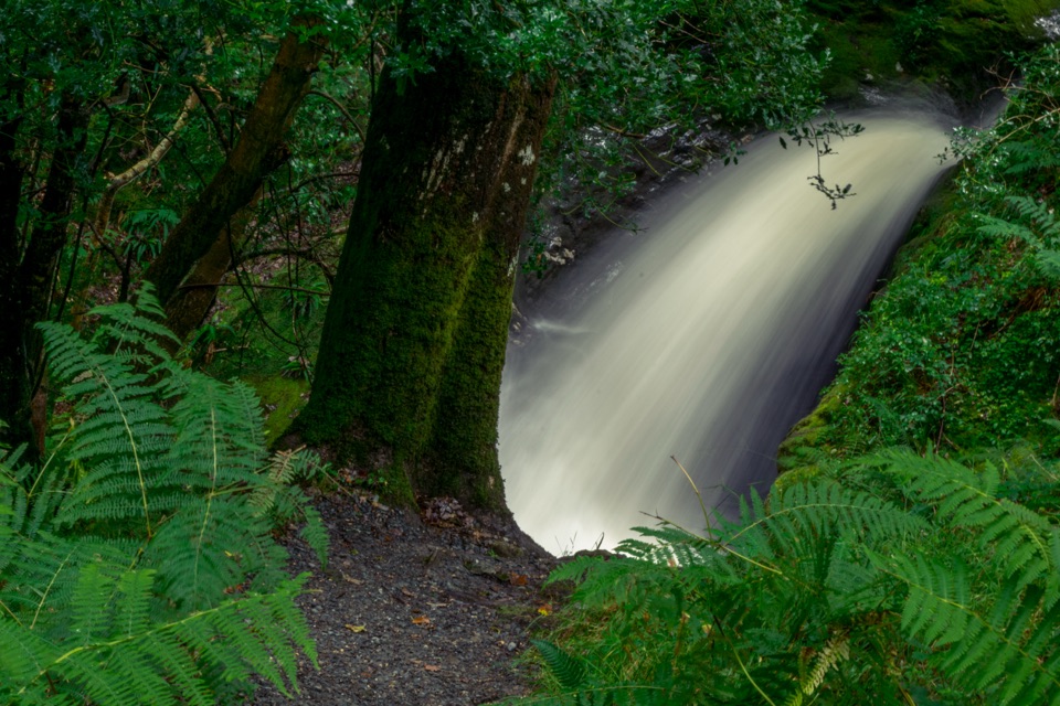 Sight · 3.1 km awayPoulanass WaterfallSteep wooded climb to dark plunge pools above the Upper Lake
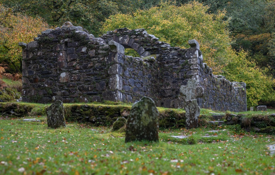 Sight · 3.2 km awayReefert ChurchRuined granite church among trees, burial place of the kings
Parkwolf’s Wicklow Mountains ranking
Spinc and Glenealo Valley (White Route)Challenging · 9.5 km The Wicklow WayChallenging · 130 km
 Djouce Mountain from J.B. Malone Car ParkChallenging · 7.4 km
 Tonelagee & Lough Ouler TrailChallenging · 7.9 kmSpinc and the Wicklow Way (Red Route)Challenging · 11.5 km
 Miners’ Road Walk (Purple Route)Easy · 5 km
The audio tour guide for the drive, plus offline maps, trails, and wildlife heatmaps for when the signal drops.