The Avonmore Way in Wicklow Mountains National Park

Wicklow Mountains National Park, WW

The Avonmore Way

One honest climb, ridge-road views, then bluebell oakwoods by the river

Photo: Flickr
Length
12.9km
Time
3.5hr
Elev. change
188m
Difficulty
Moderate
  • No dogs
  • High point 271 m

Hear the audio tour

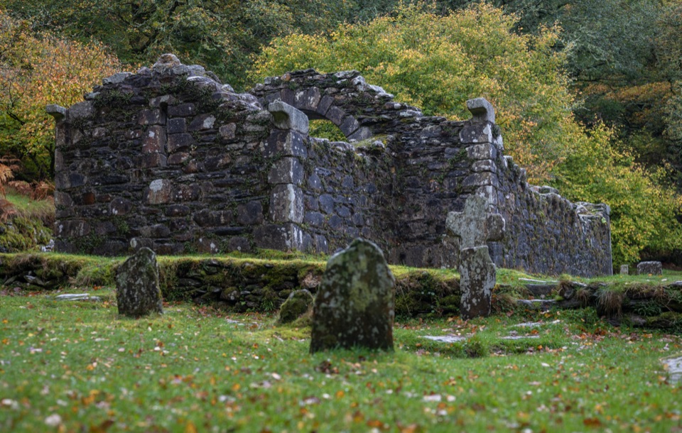
The Arch Put Back Together

Overview

About The Avonmore Way

Why go

  • Clara Vale native oakwoods and riverside walking
  • Open views around Trooperstown Hill

Heads up

  • Long road and hard forest-track sections
  • Linear logistics require transport planning
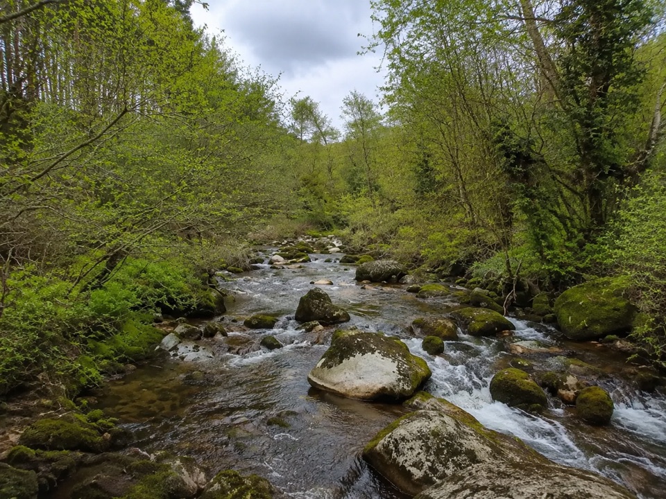
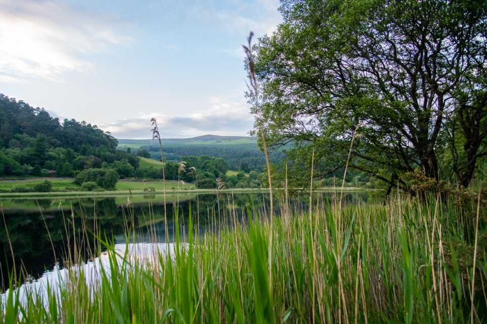
The honest picture: the opening climb and the long stretches of road and hard forest track are the friction. The reward is the second half, where Clara Vale Nature Reserve holds a large area of semi-natural native woodland, including oakwoods, and the trail settles in alongside the river with picnic spots on the bank. Spring is the pick if you want bluebells under the oaks. Walking it south to north reverses the effort profile if you would rather earn your views later.
Parkwolf’s verdictThe payoff and the trade-off

Map & elevation

The route

Loading the Wicklow Mountains map
Full map
Elevation83–271 m
TrailheadTrooperstown Forest Car Park53.01136, -6.27434
Keep this map with you offline in the Parkwolf app

Plan your hike

Before you go

Parking

Trooperstown Forest Car Park near Laragh is the main northern access. It is described as a large, free car park. The southern Stump Forest Entrance has a small free car park. This is a point-to-point route, so arrange a second car, taxi or public transport.


Safety

Dogs are not allowed. The route includes public road walking and some waymarking can be patchy, so download the map and take care at road crossings and junctions.

3 active Wicklow Mountains alerts

  • CautionExtreme upland fire riskDo not use solid-fuel BBQs in Wicklow Mountains National Park, and take extreme care with cigarettes and other naked flames because the hills are dry and at extreme risk of fire.Official details
  • CautionGlendalough Spinc trail works and intermittent disruptionsExpect intermittent disruption on the Glendalough Spinc trails while NPWS upgrades the White Trail.Official details
See all 3 alerts
A park ranger sits on a dash-mounted phone, talking, as Parkwolf’s Tour Guide plays “Army Cutworm Moths: A Grizzly Bear Buffet” on Grand Loop Road below Dunraven Pass in Yellowstone
Parkwolf Tour GuideThe highest, rockiest slopes around here are a summer buffet for grizzly bears.

Wicklow Mountains Tour Guide

Your drive to The Avonmore Way, narrated.

Parkwolf is a GPS audio tour guide for Wicklow Mountains National Park. As you drive, it chimes in with what’s ahead: hidden gems, upcoming stops, history, geology, and wildlife, right through your car’s speakers.

Recorded for this area

The Arch Put Back Together
0:00 / 0:30
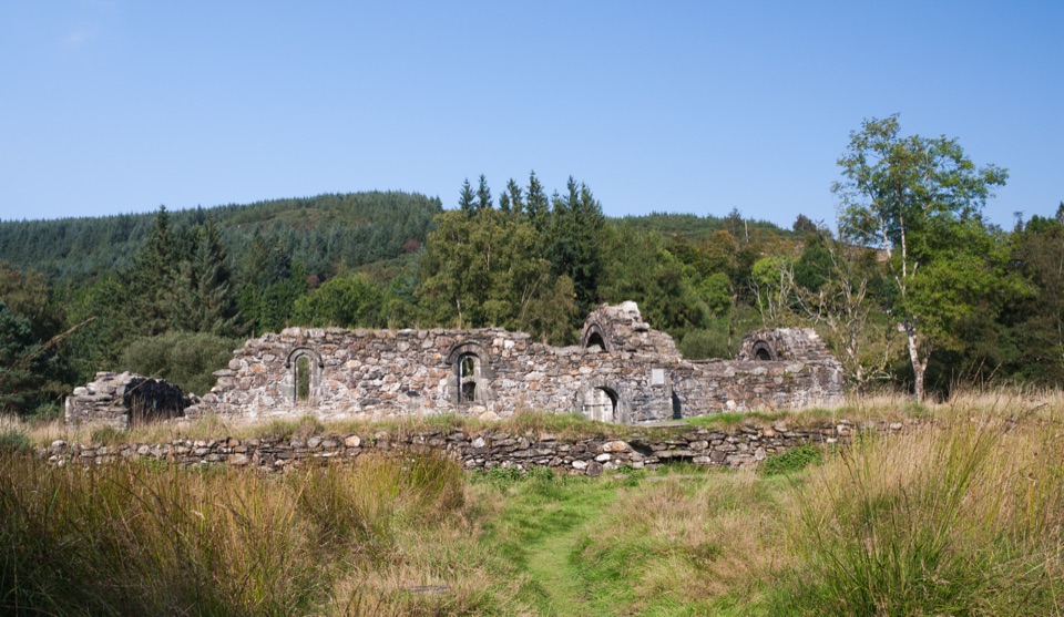
“The carved arch at Saint Saviour's Priory has a twist: some of its medieval stones sit in nineteenth-century positions.”

Plays on the road 1.1 km from the trailhead in the Parkwolf Wicklow Mountains Tour Guide.

More stories near here in the app

  • Why the Military Road Exists
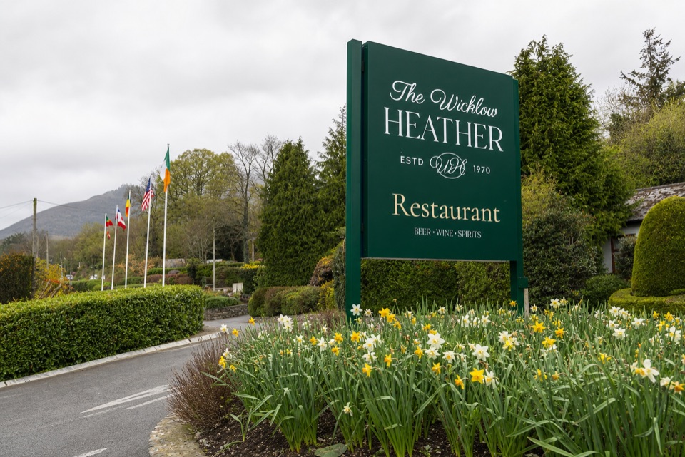
  • Wicklow Heather Restaurant
  • Brockagh Mountain
  • The Next Oakwood
  • 55 audio storiesacross Wicklow Mountains’s roads, triggered by GPS as you drive
  • Wildlife heatmapsfor Sika Deer, Red Deer, Grey Heron, and 3 more
  • Works offlinemaps, 34 trails, 31 places, and audio download before you lose signal
  • CarPlay readysimple controls built for the drive
★★★★★
“Fantastic app with many points of information… It’s great to just turn on while you’re driving and it gives you an audio tour of the national Park. We love it!!!!”
JMJamesApp Store review
Download Parkwolf on the App StoreGet Parkwolf on Google Play

4.7 from 8,600+ ratings

Trail guide

Hiking The Avonmore Way

The short versionThis is a linear point-to-point route, 13 km one way, not a loop or an out-and-back, so the…

This is a linear point-to-point route, 13 km one way, not a loop or an out-and-back, so the walking is the easy part and the transport is the bit you have to think about. Reckon on about 3.5 hours at a steady pace, with roughly 245 m of climbing and a high point near 270 m. Graded moderate: you want reasonable fitness, but nothing here is a mountain scramble.

The route in orderStart at Trooperstown Forest Car Park and cross the Avonmore River on the bridge at the very…
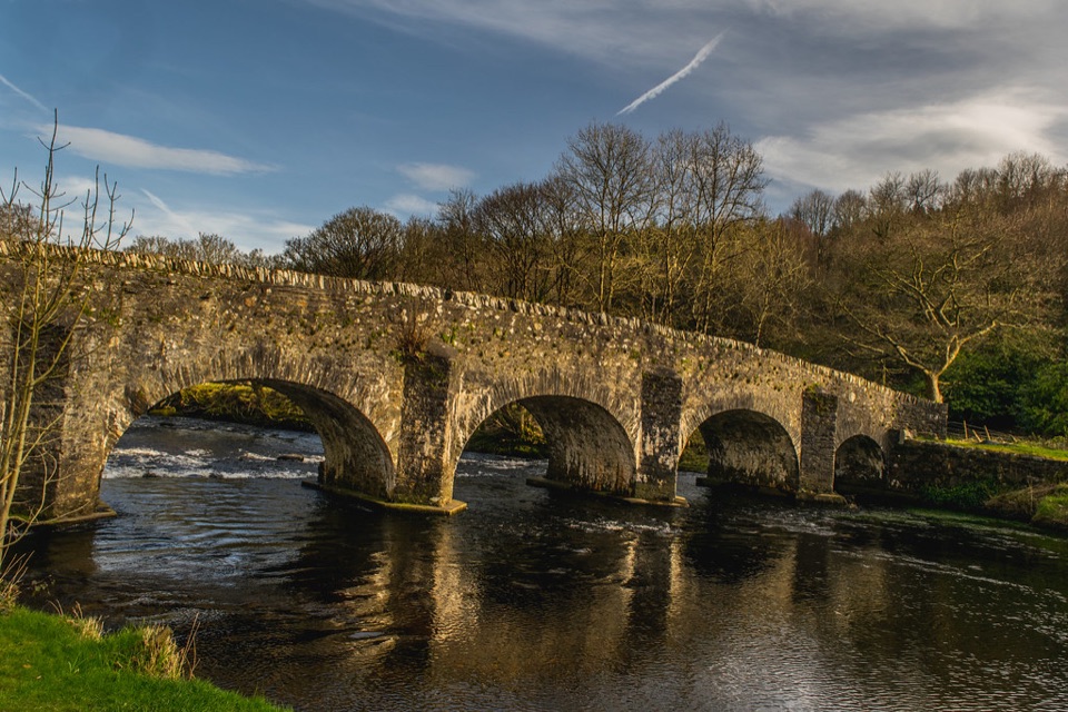
  • Start at Trooperstown Forest Car Park and cross the Avonmore River on the bridge at the very beginning.
  • Climb up through Trooperstown Wood, which is the steepest sustained pull of the day and comes early while you are fresh.
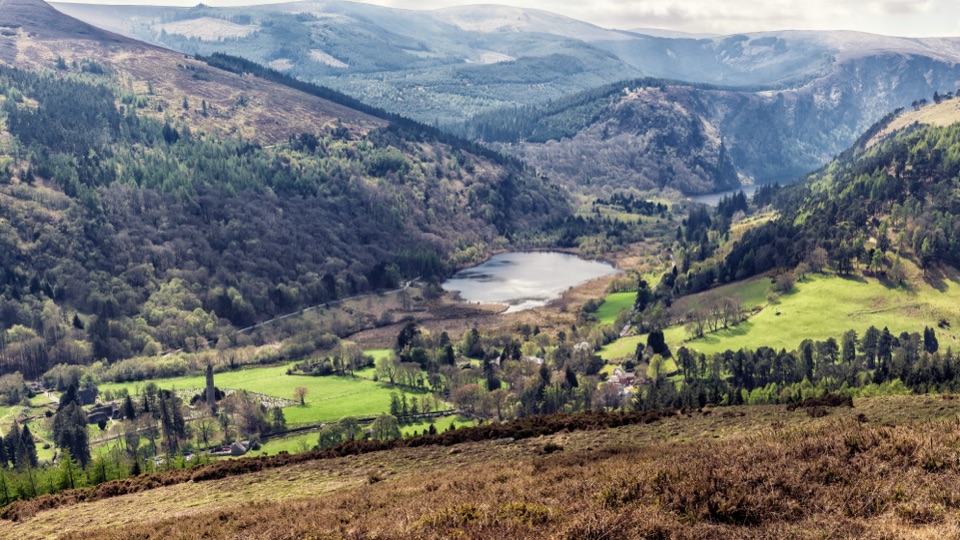
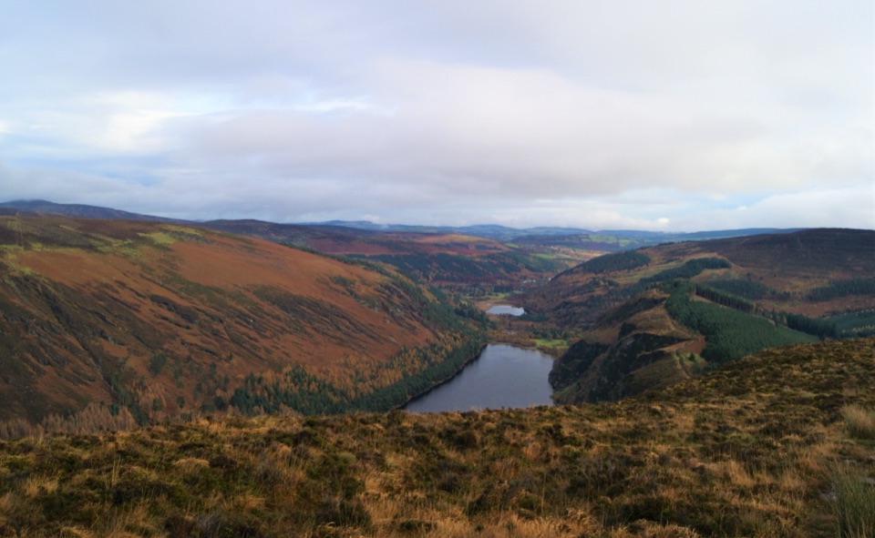
  • Skirt Trooperstown Hill on quiet country road, with open views toward Glenmacanass, Glendassan and Derrybawn, and out over the Wicklow Mountains.
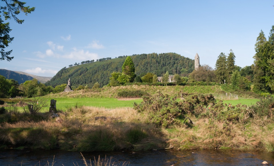
  • Drop down into Clara Vale, past the church and the historic stone bridge area.
  • Finish through native woodland beside the Avonmore River to the Stump Forest entrance.
Footing and road exposureUnderfoot is a mix of minor road, forest road, forest track and forest trail.

Underfoot is a mix of minor road, forest road, forest track and forest trail. It is durable overall and stands up to use, but expect real roadway walking on the Trooperstown Hill section, firm gravel track through the plantation, and some uneven woodland path near the river.

WayfindingThe route carries the yellow walking-man symbol and arrows on a black background.

The route carries the yellow walking-man symbol and arrows on a black background. Some sections are reported as patchy for waymarking, so download the map before you set off rather than relying on signs at every junction.

Access and transportThe trail is managed by Wicklow Uplands Council, and official access is from Trooperstown…

The trail is managed by Wicklow Uplands Council, and official access is from Trooperstown Forest Car Park or the Stump Forest Entrance. Trooperstown, near Laragh, is the northern trailhead: large and free. Stump Forest Entrance has a small free car park. Because the route is linear, sort your return first, whether that is a second car, a taxi, or public transport, and note that Rathdrum has a train station if you are building a rail-based plan. Dogs are not allowed on this trail.

Wildlife

Wildlife in Wicklow Mountains

All Wicklow Mountains wildlife maps

Sighting maps show where each species has been reported across Wicklow Mountains. Wildlife moves, so no sighting is guaranteed.

Keep exploring

Near The Avonmore Way

See it all on the map

Trails that start nearby

Places near the trailhead

Parkwolf’s Wicklow Mountains ranking

Top-rated trails in Wicklow Mountains

All 34 trails
  1. 1Spinc and Glenealo Valley (White Route)Challenging · 9.5 km
  2. 2The Wicklow WayChallenging · 130 km
  3. 3Djouce Mountain from J.B. Malone Car ParkChallenging · 7.4 km
  4. 4Tonelagee & Lough Ouler TrailChallenging · 7.9 km
  5. 5Spinc and the Wicklow Way (Red Route)Challenging · 11.5 km
  6. 6Miners’ Road Walk (Purple Route)Easy · 5 km

Take Parkwolf to Wicklow Mountains.

The audio tour guide for the drive, plus offline maps, trails, and wildlife heatmaps for when the signal drops.

4.7 from 8,600+ ratings

Download Parkwolf on the App StoreGet Parkwolf on Google Play