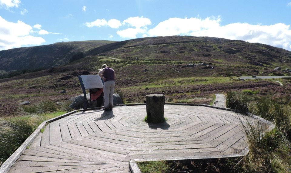
Parking
Start at the signed Hollywood trail start by St Kevin’s Church on the R756. No public transport to Hollywood was identified, so arrange drop-off and finish transport in advance for this linear route.
Wicklow Mountains National Park, WW
A full day on flagstoned pilgrim roads, from farmland to monastic ruins
Overview
Map & elevation
Plan your hike

The highest, rockiest slopes around here are a summer buffet for grizzly bears.
Wicklow Mountains Tour Guide
Parkwolf is a GPS audio tour guide for Wicklow Mountains National Park. As you drive, it chimes in with what’s ahead: hidden gems, upcoming stops, history, geology, and wildlife, right through your car’s speakers.
More stories near here in the app
“Fantastic app with many points of information… It’s great to just turn on while you’re driving and it gives you an audio tour of the national Park. We love it!!!!”


Trail guide
St. Kevin's Way is a 26 km one-way linear walk from Hollywood to Glendalough, following an old pilgrimage road across the hills rather than looping back to your car. Plan on a full day, roughly 10 hours of walking, with about 580 m of ascent.
The arc of the day is the point: farmland and forest roads early, wind-open high ground in the middle, then a river-side descent that ends at Glendalough's monastic settlement.
Rated strenuous, mostly for sustained distance and time on foot rather than technical ground. Surfaces change constantly: minor and public roads, forest roads and tracks, dirt and gravel path, and stretches of open mountain and boggy ground. Sections of the original pilgrimage road flagstones are still visible underfoot.
Elevation along the route runs from about 153 m to 476 m, starting near 175 m, rolling through the 200s, then building to the high point before the long drop into Glendalough.
This is a linear walk, so sort transport before anything else. No public transport to Hollywood was identified, so plan on arranging your own travel to the start and away from the finish, whether that is a car drop-off, a lift, or a booked transfer. The start is realistically reached via the R756, and the Glendalough finish has visitor facilities.
Dogs are not allowed on the route. It crosses farmland, and the trail guidance is explicit about not entering farmland with dogs.
For a marked day loop out of Glendalough with a more straightforward setup, the shorter Spinc loop is a good alternative. If you want a longer point-to-point line instead, the Wicklow Way is a multi-day option.
Wildlife
 204 sightingsSika DeerMost seen around 7 AMSighting map
 18 sightingsRed DeerMost seen around 7 AMSighting map
 15 sightingsGrey HeronMost seen around 7 PMSighting map
 11 sightingsCommon RavenMost seen around 8 AMSighting map
 28 sightingsEuropean Common FrogMost seen around 7 PMSighting map
 11 sightingsViviparous LizardMost seen around 11 AMSighting map
Sighting maps show where each species has been reported across Wicklow Mountains. Wildlife moves, so no sighting is guaranteed.
Keep exploring
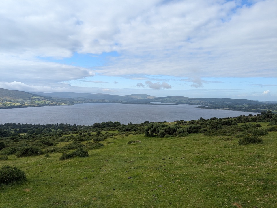 ModerateLacken – Mass Path1.9 km · 30 min · 9.3 km awayHistoric stone-walled boreen climbing to forest edge and reservoir views
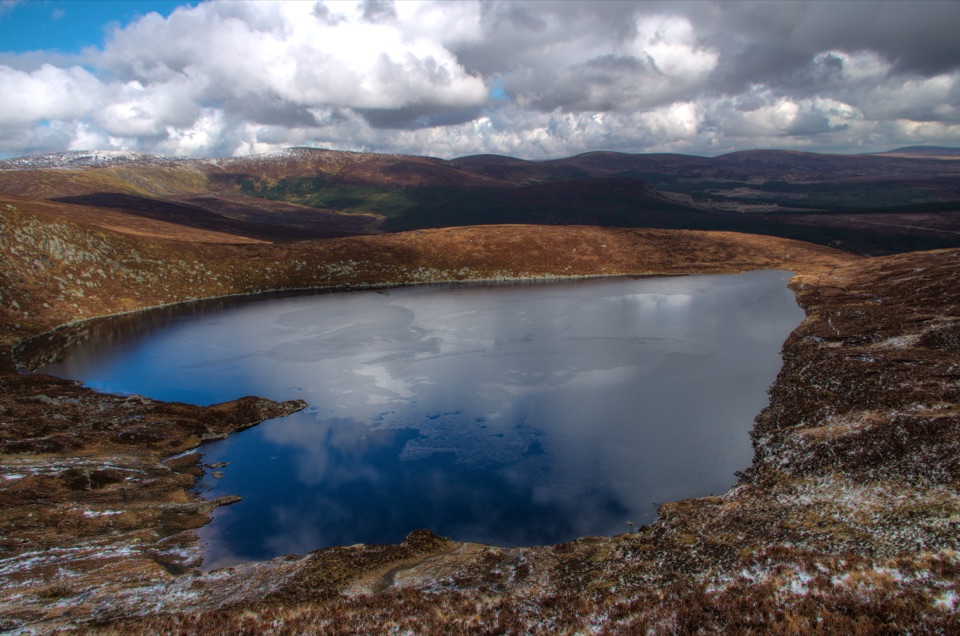 ModerateWicklow Gap to Tonelagee3.9 km · 2.3 hr · 14.8 km awayShort, steep open-mountain climb to a trig point above Lough Ouler
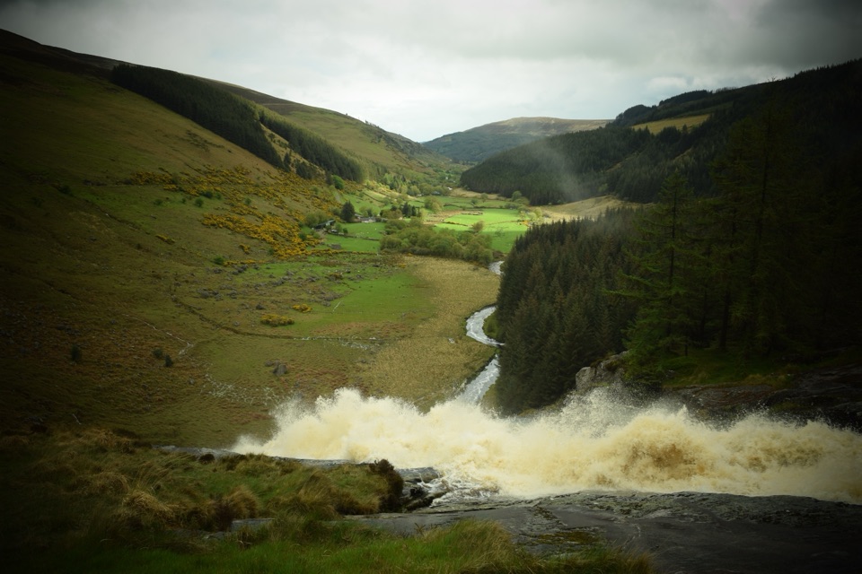 ChallengingMullaghcleevaun Loop16.3 km · 6.5 hr · 16.7 km awayBog, a hidden corrie lake and a waterfall finish high above Glenmacnass
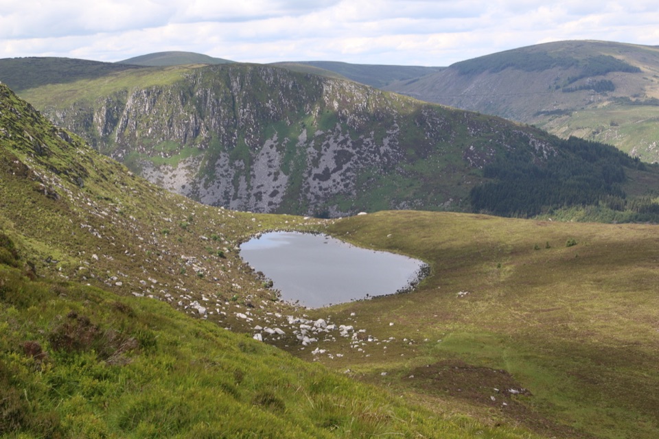 ModerateArt’s Lough Loop8.9 km · 3.3 hr · 17.2 km awayForest zigzags to a peat-dark upland lough, then rough open ground home
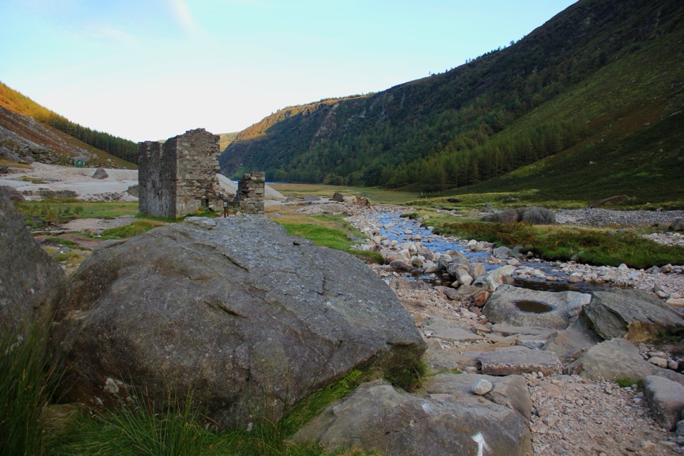 ChallengingThe Miners' Way16.9 km · 6 hr · 17.8 km awayThree lead-mining valleys linked by a tough 16.9 km upland traverse
 ChallengingTonelagee & Lough Ouler Trail7.9 km · 3.8 hr · 17.8 km awayHeart-shaped corrie lake, then a boggy climb to a windswept summit
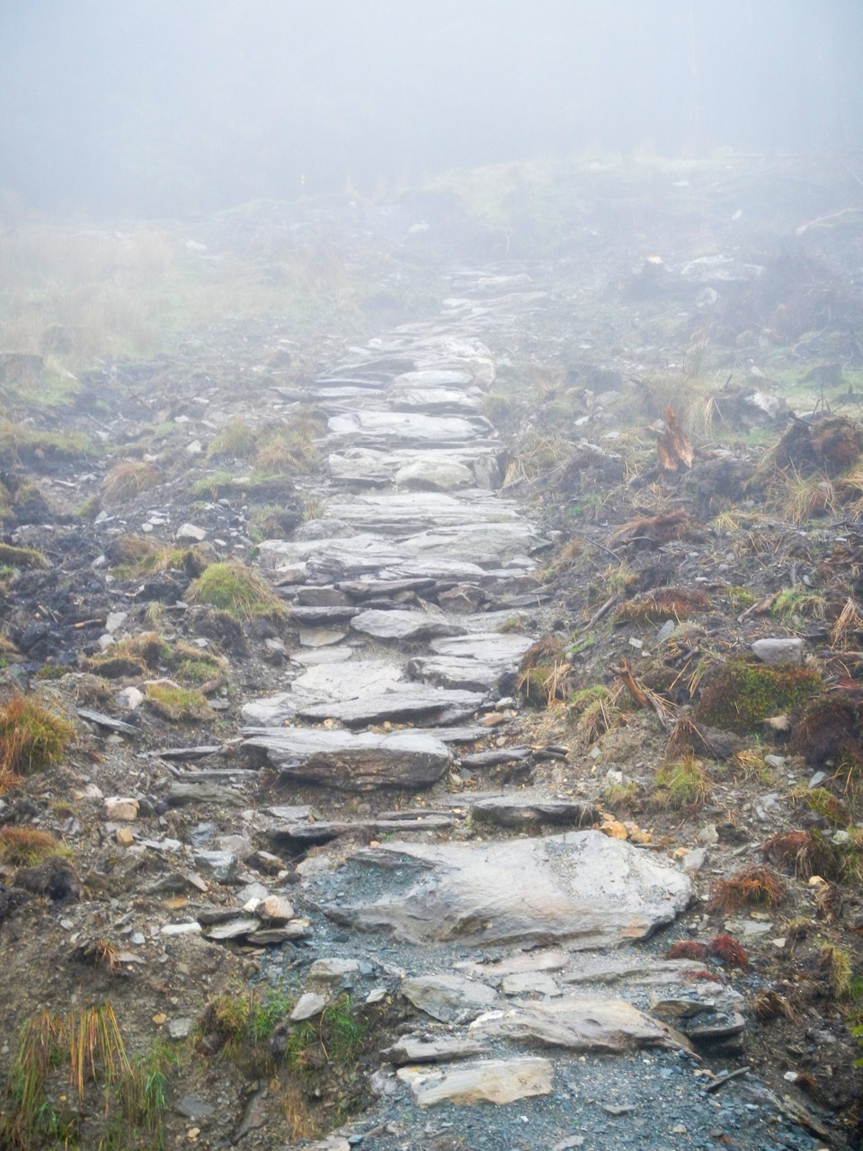 ChallengingBallinafunshogue Walk - Mountain Access Trail8.9 km · 3.3 hr · 19.2 km awaySustained forest climb from Glenmalure to the open Mullacor Saddle
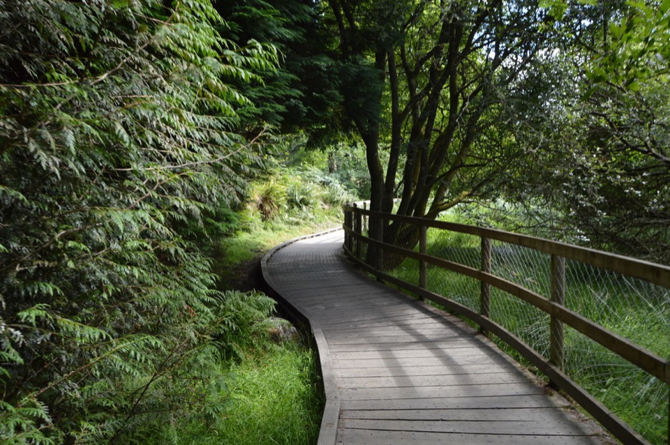 ModerateWoodland Road (Silver Route)4.8 km · 1.8 hr · 19.7 km awayMixed woodland, river path and lake boardwalk on a 4.8 km loop
Parkwolf’s Wicklow Mountains ranking
 Spinc and Glenealo Valley (White Route)Challenging · 9.5 km
 The Wicklow WayChallenging · 130 km
 Djouce Mountain from J.B. Malone Car ParkChallenging · 7.4 kmTonelagee & Lough Ouler TrailChallenging · 7.9 km
 Spinc and the Wicklow Way (Red Route)Challenging · 11.5 km
 Miners’ Road Walk (Purple Route)Easy · 5 km
The audio tour guide for the drive, plus offline maps, trails, and wildlife heatmaps for when the signal drops.