Parking
Ballinafunshogue Car Park, reached from Laragh via R755 and Military Road into Glenmalure. After the crossroads, continue about 3.5 km; the stone-edged car park is on the right after the disused mines. It has about 10 spaces.
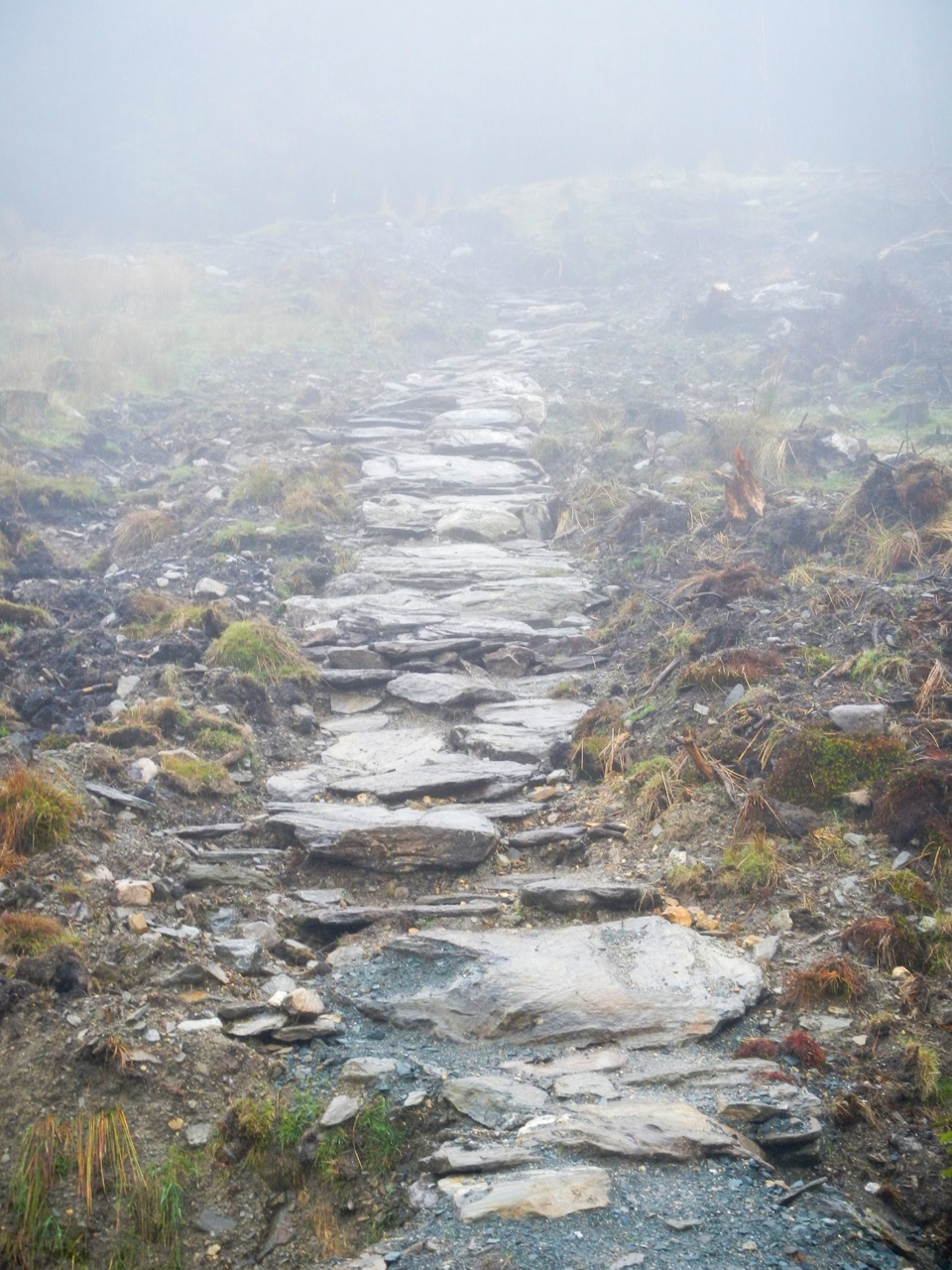
Wicklow Mountains National Park, WW
Sustained forest climb from Glenmalure to the open Mullacor Saddle
Overview
A linear mountain-access trail in the glacial valley of Glenmalure, walked as an out-and-back. The stored line is the one-way corridor of about 4.5 km (4.468 km measured); on the ground you walk roughly 8.9 km / 5.5 mi round trip because you return by the same route. Allow 3 to 3.5 hours at a steady pace, plus stops.
Map & elevation
Plan your hike

The highest, rockiest slopes around here are a summer buffet for grizzly bears.
Wicklow Mountains Tour Guide
Parkwolf is a GPS audio tour guide for Wicklow Mountains National Park. As you drive, it chimes in with what’s ahead: hidden gems, upcoming stops, history, geology, and wildlife, right through your car’s speakers.
More stories near here in the app
“Fantastic app with many points of information… It’s great to just turn on while you’re driving and it gives you an audio tour of the national Park. We love it!!!!”


Trail guide
From Ballinafunshogue Car Park the way climbs through Ballinafunshoge Forest on a forest access route, passes a stream and small waterfall setting, then picks up the Old Miner's Path before joining the Wicklow Way for the final pull to the Mullacor Saddle. The saddle is the turnaround point: the trees fall away and you step onto open, exposed upland with views back over wooded valley slopes and the surrounding mountains.
The official grading is strenuous and the climb is very sustained, with steep sections that keep coming rather than easing off. Reported figures are about 430 m of total height climbed with a highest point around 500 m. Terrain underfoot is listed as forest trail, and in practice that means gravel and forest road, rough stone steps, a rocky water crossing, and rougher grass and heather higher up. Suitable for fit walkers with sturdy boots.
The trail is marked with white markers. Above the treeline you are on open mountain, where cloud, wind and poor visibility change the walk completely, and full mountain navigation skill and gear are needed in difficult conditions. Carry a map and compass, and bring enough food, water and layers for the full round trip.
Start at Ballinafunshogue Car Park (52.975124, -6.391822), a small parking area of about 10 spaces, so an early arrival helps. No public transport to the start point is documented.
Dogs are welcome, but keep yours on a lead and under control throughout. A lead is required in the National Park at all times, and this route reaches open mountain where livestock and ground-nesting birds are a real concern.
The saddle opens onward options toward Lugduff or Mullacor and Derrybawn, and the Wicklow Way continues in both directions. Those are separate, longer undertakings beyond this trail, and the shorter Miners Path is a different, easier forest walk nearby. This route ends at the saddle and returns the way it came.
Wildlife
 204 sightingsSika DeerMost seen around 7 AMSighting map
 18 sightingsRed DeerMost seen around 7 AMSighting map
 15 sightingsGrey HeronMost seen around 7 PMSighting map
 11 sightingsCommon RavenMost seen around 8 AMSighting map
 28 sightingsEuropean Common FrogMost seen around 7 PMSighting map
 11 sightingsViviparous LizardMost seen around 11 AMSighting map
Sighting maps show where each species has been reported across Wicklow Mountains. Wildlife moves, so no sighting is guaranteed.
Keep exploring
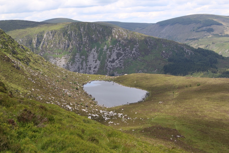 ModerateArt’s Lough Loop8.9 km · 3.3 hr · 2 km awayForest zigzags to a peat-dark upland lough, then rough open ground home
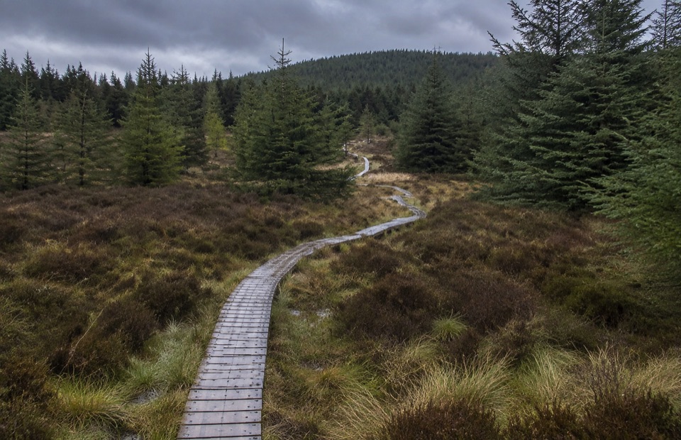 ModerateDrumgoff Forest Walk – Carrawaystick Mountain Access Route2.5 km · 1 hr · 4 km awaySteady forest climb to boardwalk and open upland below Carrawaystick
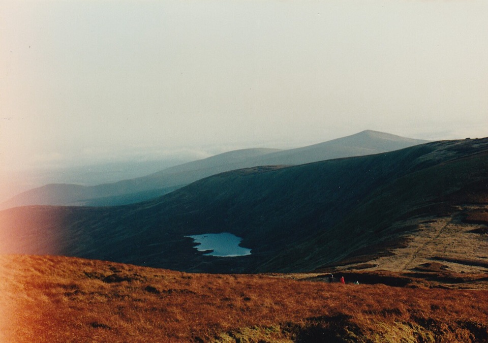 ModerateDrumgoff – Kelly’s Lough14.3 km · 4.8 hr · 4 km awayForest tracks and boardwalks climb to a quiet upland lough
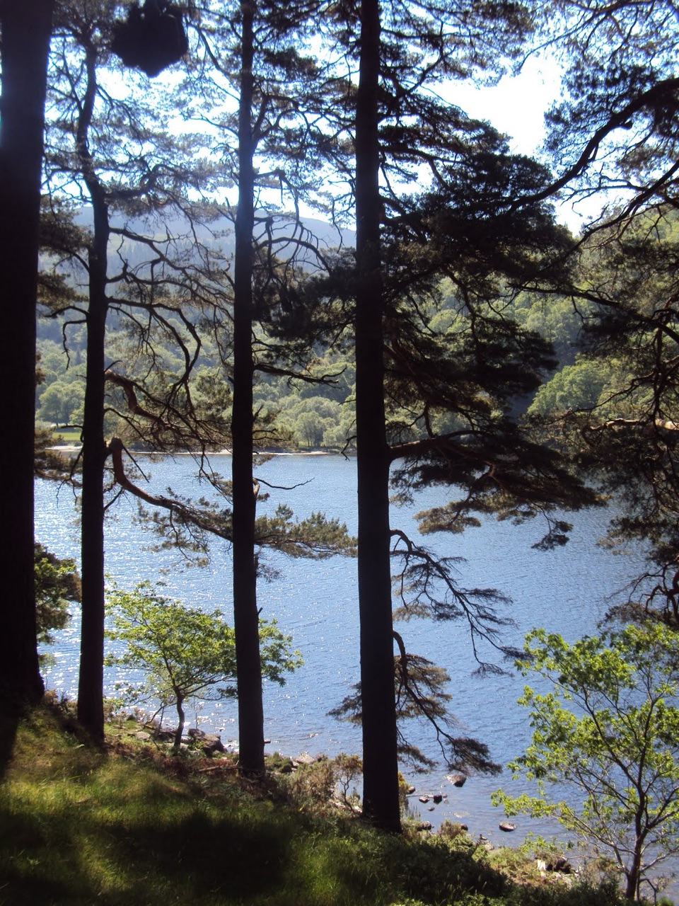 ModerateDerrybawn Woodland Trail8 km · 2 hr · 4.5 km awaySteep woodland climb, then an 8 km forest-road loop above the two lakes
 ChallengingSpinc and Glenealo Valley (White Route)9.5 km · 3.3 hr · 4.5 km awaySteep steps to cliff-top views over two lakes and a deer-filled valley
 ChallengingSpinc and the Wicklow Way (Red Route)11.5 km · 4.3 hr · 4.5 km awayBoardwalk cliff path, twin-lake views and a hard 11.5 km mountain loop
 EasyMiners’ Road Walk (Purple Route)5 km · 1.2 hr · 4.5 km awayFlat lakeshore track through Scots pine to a ruined mining village
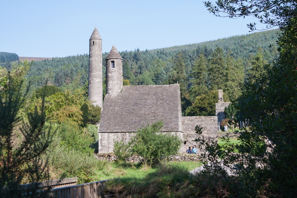 EasyGreen Road Walk3.6 km · 50 min · 4.5 km awayFlat lakeside boardwalk loop past the round tower and Lower Lake woodland
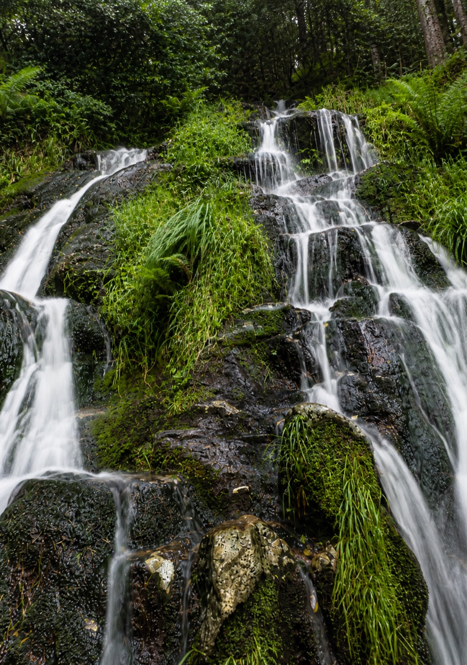 Sight · At the trailheadBallinafunshoge WaterfallSteps from a tiny Glenmalure car park, water drops over mossy ledges
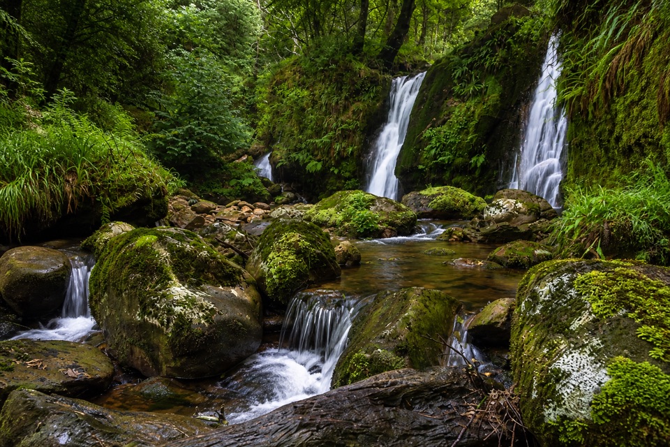 Sight · 3.1 km awayCoolalingo WaterfallsUnsigned cascades and pools a short scramble from Coolalingo Bridge
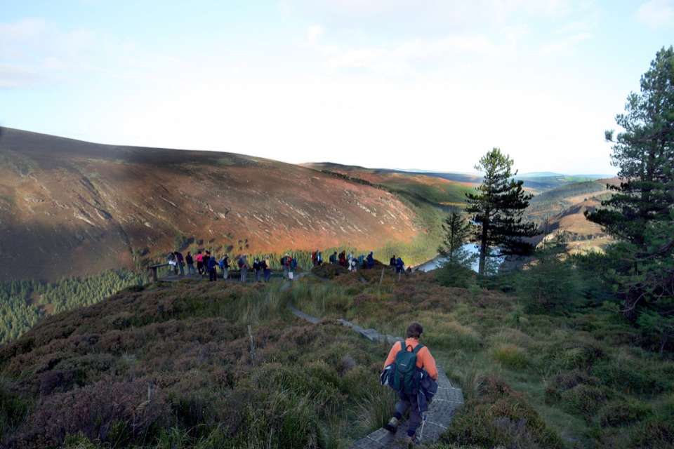 Sight · 3.1 km awayGlendalough ViewpointEarn a boardwalk-high view over both lakes and the Miners' Village
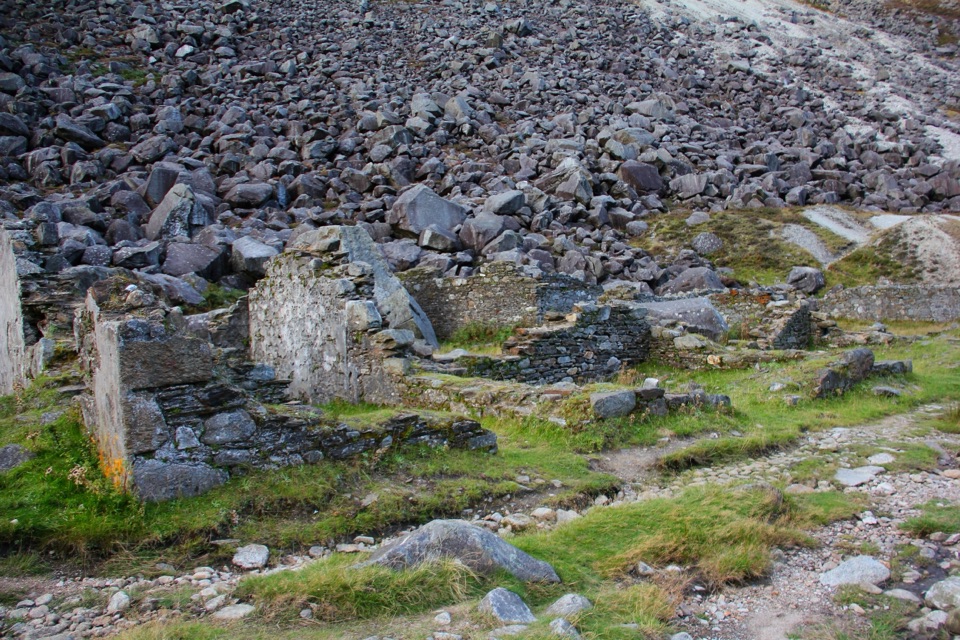 Sight · 3.6 km awayMiners' VillageStone ruins of a lead ore works beyond the Upper Lake
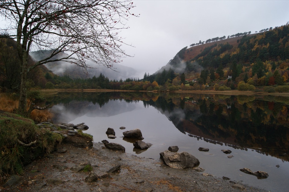 Sight · 4.1 km awayGlendalough Upper LakeA glacier-carved lake under steep cliffs, with a sandy eastern shore
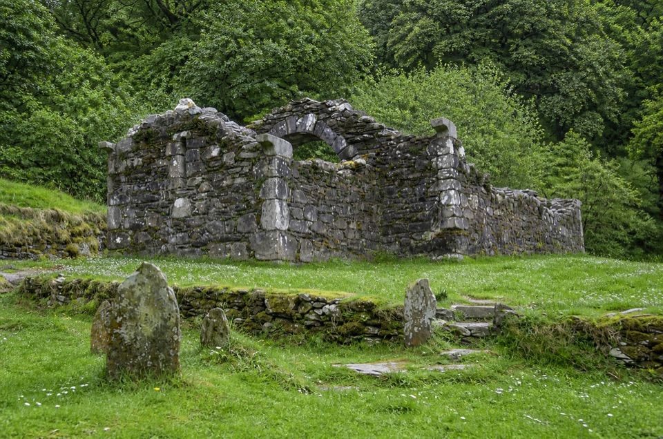 Sight · 4.3 km awayTemple-na-Skellig Shore ViewBinoculars reveal a roofless church low on the far wooded bank
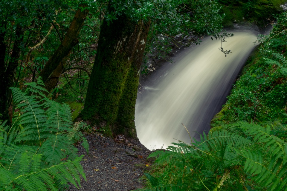 Sight · 4.3 km awayPoulanass WaterfallSteep wooded climb to dark plunge pools above the Upper Lake
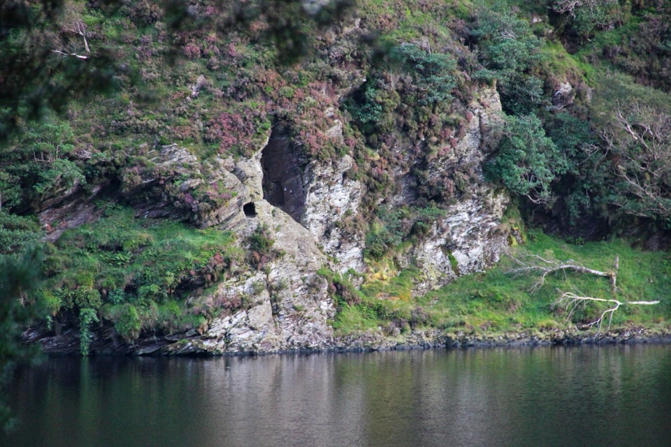 Sight · 4.3 km awaySt Kevin's Bed ViewCliffside hermit's cave, seen across Upper Lake from a pine-shaded path
Parkwolf’s Wicklow Mountains ranking
Spinc and Glenealo Valley (White Route)Challenging · 9.5 km The Wicklow WayChallenging · 130 km
 Djouce Mountain from J.B. Malone Car ParkChallenging · 7.4 km
 Tonelagee & Lough Ouler TrailChallenging · 7.9 kmSpinc and the Wicklow Way (Red Route)Challenging · 11.5 kmMiners’ Road Walk (Purple Route)Easy · 5 km
The audio tour guide for the drive, plus offline maps, trails, and wildlife heatmaps for when the signal drops.