Parking
Baravore car park on Glen Road at the head of Glenmalure; free recurring access, around 50 car spaces reported; roadside overflow is tight.
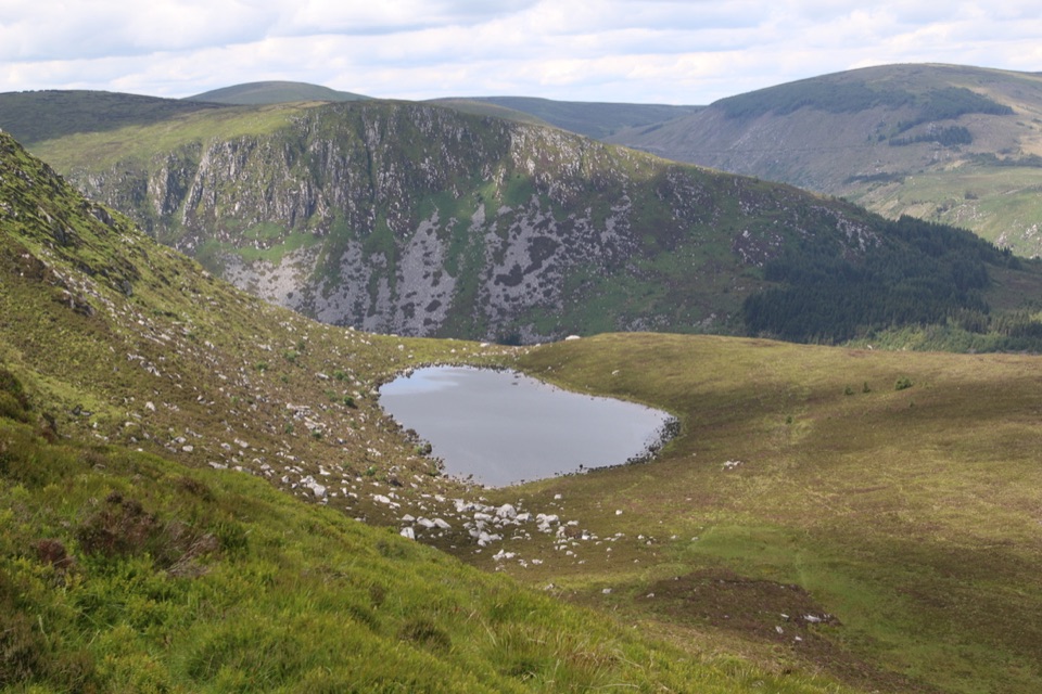
Wicklow Mountains National Park, WW
Forest zigzags to a peat-dark upland lough, then rough open ground home
Overview
The small, peat-dark lough sits in a basin under Benleagh, with the ground falling away toward Fraughan Rock Glen. Open slopes and long glen views are the reward, and the lough and its surrounding upland are the defining part of the day. There is little shelter once you leave the forest, so wind and low cloud are felt fully.
 Parkwolf’s verdictThe payoff
Map & elevation
Plan your hike

The highest, rockiest slopes around here are a summer buffet for grizzly bears.
Wicklow Mountains Tour Guide
Parkwolf is a GPS audio tour guide for Wicklow Mountains National Park. As you drive, it chimes in with what’s ahead: hidden gems, upcoming stops, history, geology, and wildlife, right through your car’s speakers.
More stories near here in the app
“Fantastic app with many points of information… It’s great to just turn on while you’re driving and it gives you an audio tour of the national Park. We love it!!!!”


Trail guide
A complete closed loop from Baravore at the head of Glenmalure, climbing to Art's Lough and circling it before returning by the same approach. Total visitor traversal is 5.5 miles (about 8.9 km). Expect roughly 1,286 ft of climb and about 3 to 3.5 hours (3.25 hours is a fair planning figure).
Moderate overall, 6 out of 10. The forest-road climb is straightforward walking; the open section is where the effort sits. Ground is boggy, tussocky and uneven, sheep-trodden in places, with a small stream and gorge crossing to negotiate. The fence-side descent is often slippery and muddy after rain, and the whole open part feels harder in wet weather. Boots with grip and legs that do not mind rough ground are the honest requirement.
This is not a maintained or waymarked trail. The upper loop crosses open ground where the line on a map does not always correspond to a reliable visible trodden path underfoot, and at least one section should be treated as having no dependable route on the ground. Carry a map and compass or GPS and know how to use them, especially if cloud drops onto the tops. If you would rather keep it simple, the shorter out-and-back to the lough is the easier option; the Lugnaquilla routes from the same glen are substantially more demanding.
Start from the Baravore car park on the Glen Road at the head of Glenmalure, with the walk beginning on the access track just beyond. Access is free and recurring, with around 50 car spaces reported. Roadside overflow is tight and should not be counted on, so arriving with a plan B in mind is sensible. No separate permit was established for this route. Dogs must be on a lead at all times under National Park guidance.
Wildlife
 204 sightingsSika DeerMost seen around 7 AMSighting map
 18 sightingsRed DeerMost seen around 7 AMSighting map
 15 sightingsGrey HeronMost seen around 7 PMSighting map
 11 sightingsCommon RavenMost seen around 8 AMSighting map
 28 sightingsEuropean Common FrogMost seen around 7 PMSighting map
 11 sightingsViviparous LizardMost seen around 11 AMSighting map
Sighting maps show where each species has been reported across Wicklow Mountains. Wildlife moves, so no sighting is guaranteed.
Keep exploring
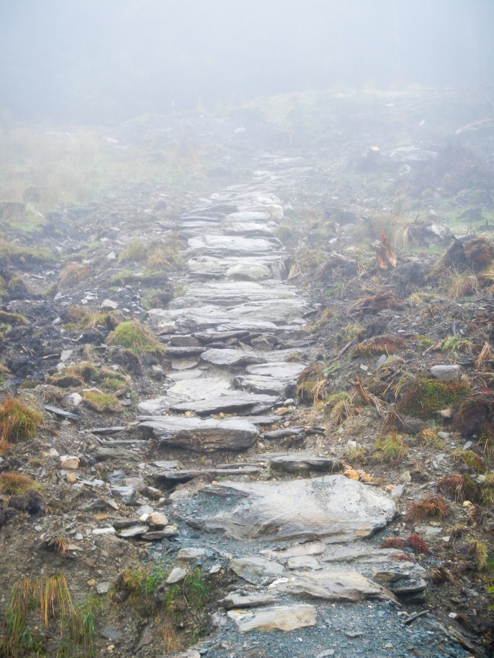 ChallengingBallinafunshogue Walk - Mountain Access Trail8.9 km · 3.3 hr · 2 km awaySustained forest climb from Glenmalure to the open Mullacor Saddle
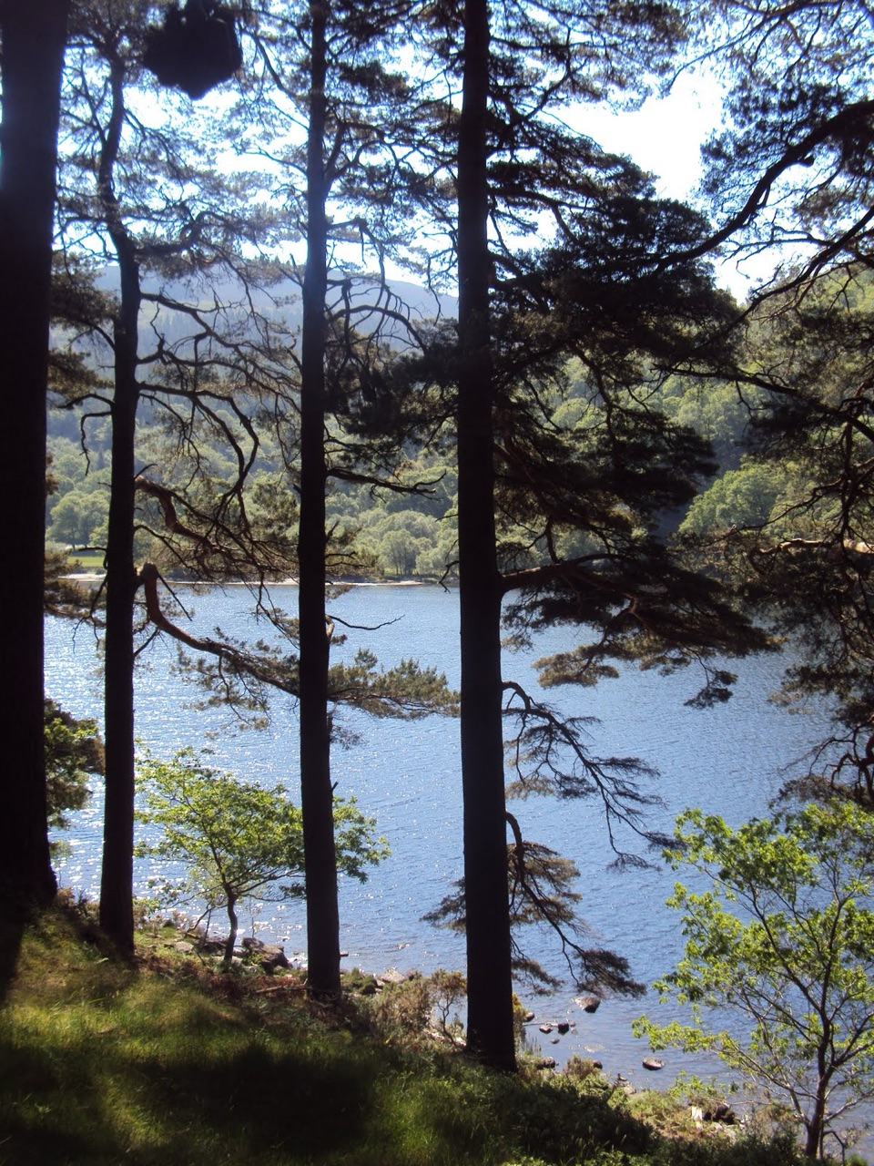 ModerateDerrybawn Woodland Trail8 km · 2 hr · 4.8 km awaySteep woodland climb, then an 8 km forest-road loop above the two lakes
 ChallengingSpinc and Glenealo Valley (White Route)9.5 km · 3.3 hr · 4.8 km awaySteep steps to cliff-top views over two lakes and a deer-filled valley
 ChallengingSpinc and the Wicklow Way (Red Route)11.5 km · 4.3 hr · 4.8 km awayBoardwalk cliff path, twin-lake views and a hard 11.5 km mountain loop
 EasyMiners’ Road Walk (Purple Route)5 km · 1.2 hr · 4.8 km awayFlat lakeshore track through Scots pine to a ruined mining village
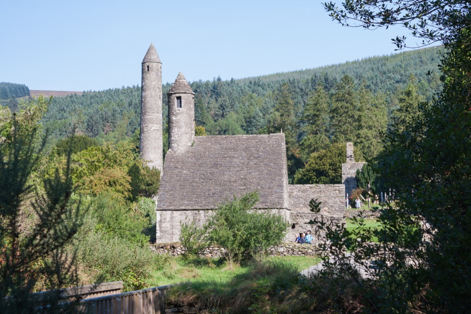 EasyGreen Road Walk3.6 km · 50 min · 4.8 km awayFlat lakeside boardwalk loop past the round tower and Lower Lake woodland
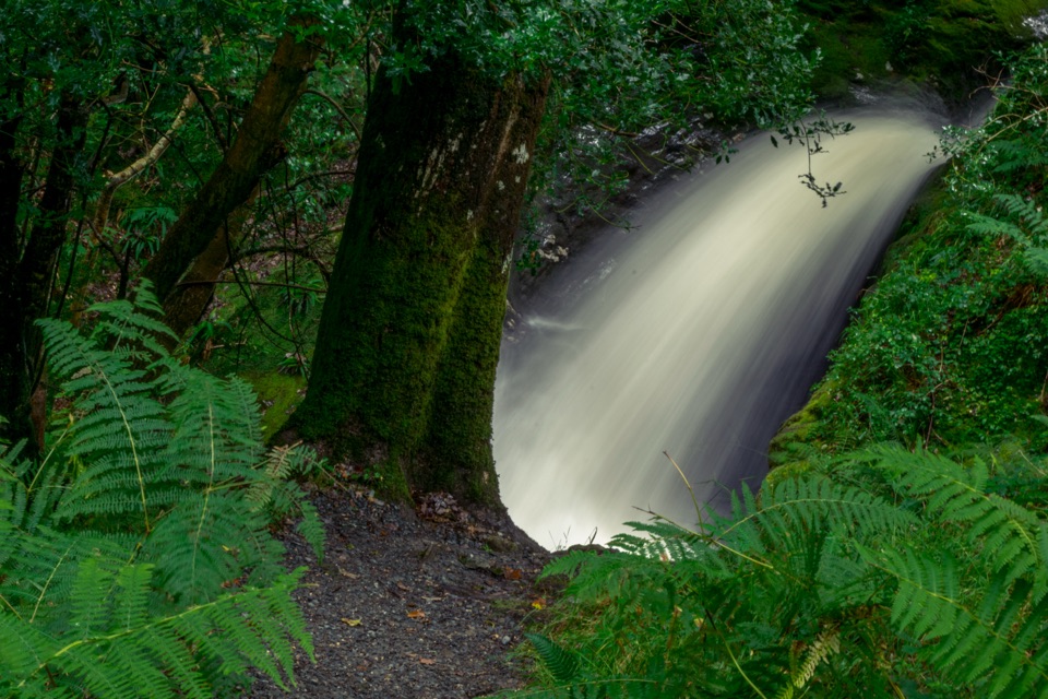 ModeratePoulanass (Pink Route)1.6 km · 45 min · 4.8 km awayShort but steep pink loop past a waterfall and plunge poolsChallengingSpinc Trail (Short Route)6 km · 2.3 hr · 4.9 km awaySteep climb past Poulanass to a boardwalk high above Upper Lake
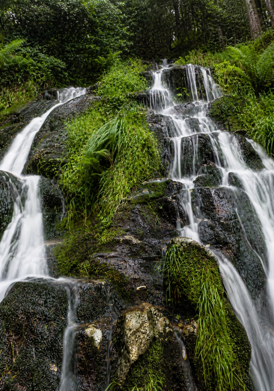 Sight · 2 km awayBallinafunshoge WaterfallSteps from a tiny Glenmalure car park, water drops over mossy ledges
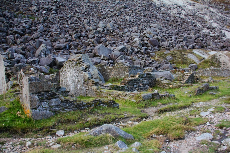 Sight · 3 km awayMiners' VillageStone ruins of a lead ore works beyond the Upper Lake
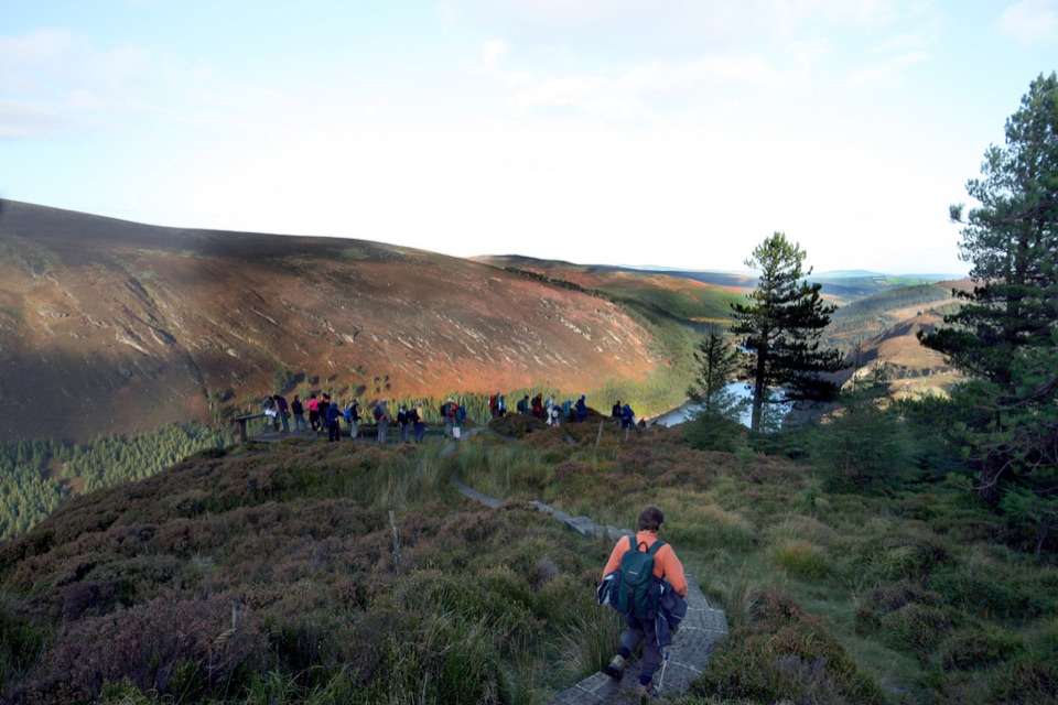 Sight · 3.1 km awayGlendalough ViewpointEarn a boardwalk-high view over both lakes and the Miners' Village
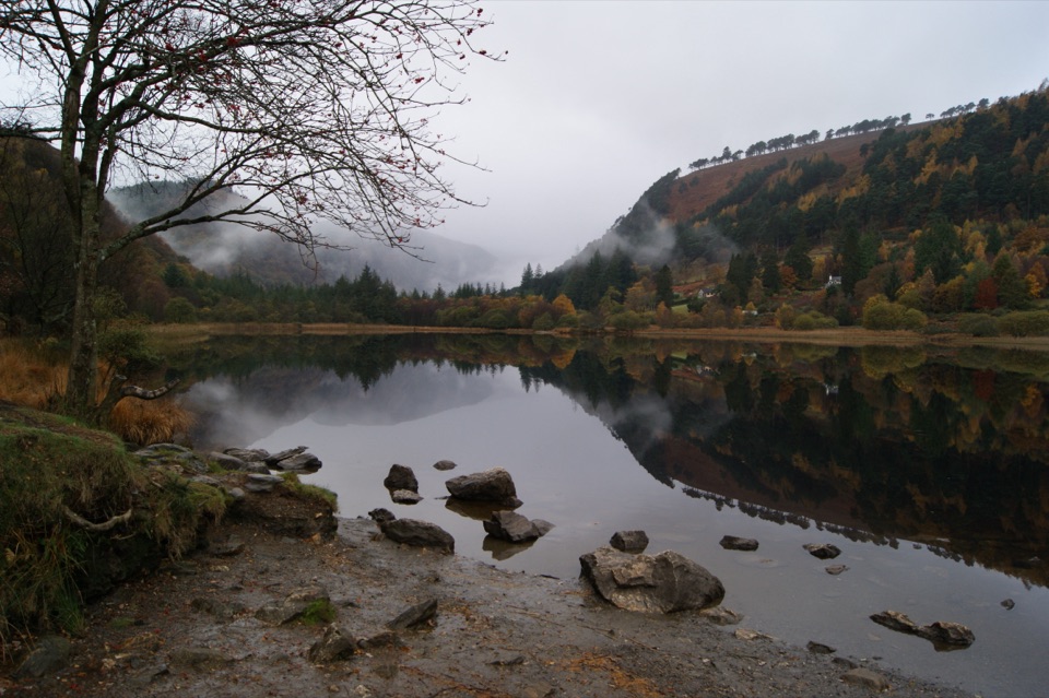 Sight · 4.2 km awayGlendalough Upper LakeA glacier-carved lake under steep cliffs, with a sandy eastern shore
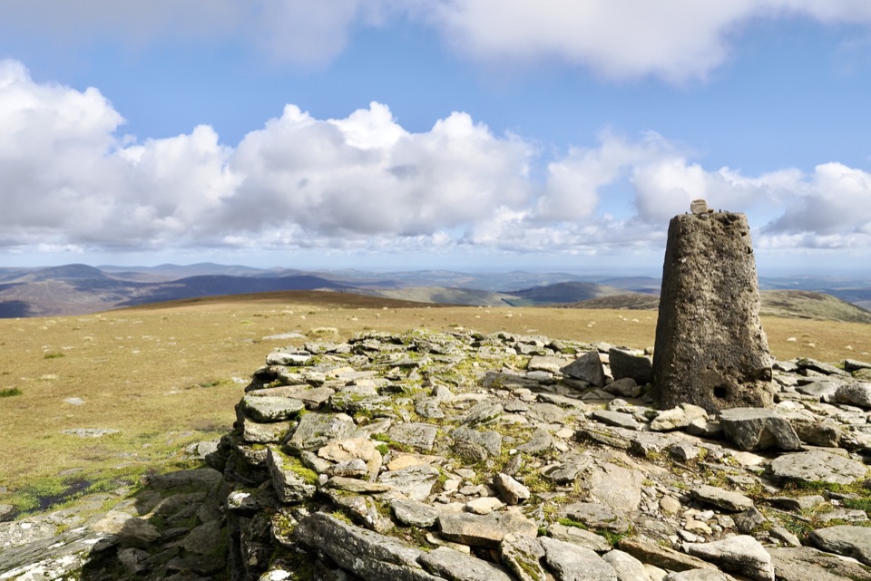 Sight · 4.2 km awayLugnaquillaBroad grassy plateau ringed by cliffs, Wales visible on clear days
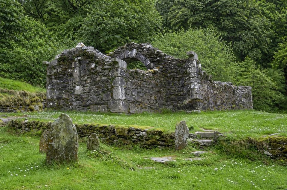 Sight · 4.3 km awayTemple-na-Skellig Shore ViewBinoculars reveal a roofless church low on the far wooded bank
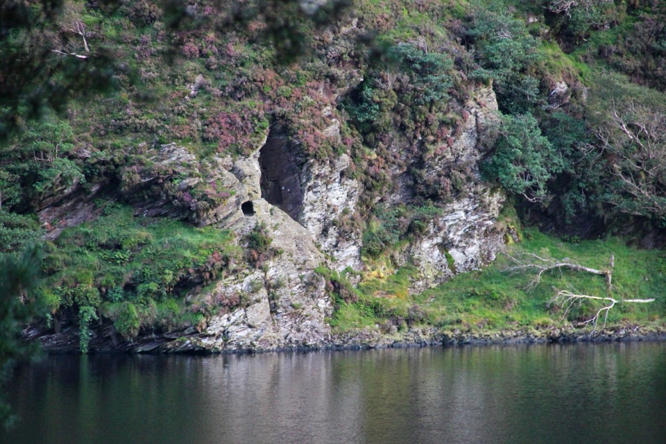 Sight · 4.5 km awaySt Kevin's Bed ViewCliffside hermit's cave, seen across Upper Lake from a pine-shaded path
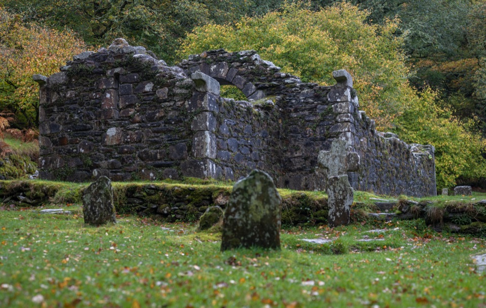 Sight · 4.8 km awayReefert ChurchRuined granite church among trees, burial place of the kings
Parkwolf’s Wicklow Mountains ranking
Spinc and Glenealo Valley (White Route)Challenging · 9.5 km The Wicklow WayChallenging · 130 km
 Djouce Mountain from J.B. Malone Car ParkChallenging · 7.4 km
 Tonelagee & Lough Ouler TrailChallenging · 7.9 kmSpinc and the Wicklow Way (Red Route)Challenging · 11.5 kmMiners’ Road Walk (Purple Route)Easy · 5 km
The audio tour guide for the drive, plus offline maps, trails, and wildlife heatmaps for when the signal drops.