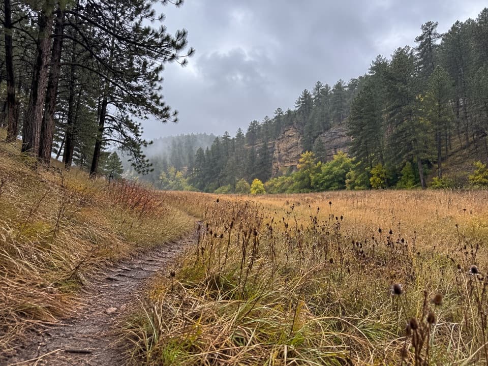
Parking
Use the small parking area on NPS 6 (Red Valley Road), one mile north of its junction with NPS 5. It is the trailhead for the eastbound ridge walk.

#4 of 11 trails in Wind Cave
Wind Cave National Park, SD
Four rolling climbs lead to wide views over Red Valley.
Overview
The widest west-facing view opens near the top of the second hill. From there you can look over Red Valley to the forested Black Hills and the plains beyond; the first hill gives you a smaller opening in the same direction. The second crest is the best place to stop for a photo. Keep a strip of the rolling ridge in the foreground so the picture shows the ground you crossed as well as the distant view.
 Parkwolf’s verdictThe view worth saving
Map & elevation
Plan your hike

The highest, rockiest slopes around here are a summer buffet for grizzly bears.
Wind Cave Tour Guide
Parkwolf is a GPS audio tour guide for Wind Cave National Park. As you drive, it chimes in with what’s ahead: hidden gems, upcoming stops, history, geology, and wildlife, right through your car’s speakers.
Recorded for this trailhead
Boland Ridge“You're nearing the Boland Ridge trailhead, for a longer walk across open prairie with views over Red Valley.”
Plays as you drive up to this trailhead in the Parkwolf Wind Cave Tour Guide.
More stories near here in the app
“Fantastic app with many points of information… It’s great to just turn on while you’re driving and it gives you an audio tour of the national Park. We love it!!!!”


Trail guide
Boland Ridge is a 5.2-mile out-and-back across Wind Cave’s open eastern prairie. From the small trailhead lot on NPS 6, the route follows the ridge 2.6 miles to a signed end near the park’s eastern boundary, then returns on the same trail. Choose it for a longer walk through rolling grassland and broad views across the Black Hills, Red Valley and the plains beyond. Allow about 2½ hours, and expect to climb the same four rolling hills again on the return. The end is a trail marker beside a small ravine, not a built overlook; the best scenery opens before you get there.
Park at the small NPS 6 area, one mile north of its junction with NPS 5. This access is separate from the visitor center, so plan on the drive before you set out. The first 0.6 mile is mostly level or gently downhill; then the trail turns north and climbs. The first ascent has a short steeper pitch. A fork near that rise soon rejoins, and the signed route follows the right branch.
Most of the climbing comes in the first two hills; the second is the high point at about 1.1 miles. Beyond it, the trail trends east on a gentler descent before crossing two smaller rises. The last quarter mile turns north and reaches the signed end just before a small ravine. Turn around at the marker: there’s no loop at the far end. On the way back you’ll retrace every rise, so don’t mistake the low point after hill two for the end of the work.
Elk are often seen from Boland Ridge, so give the open hills a look as you walk. Bison roam the park too; wallows, tracks and other animal sign have been reported along this route. If wildlife is on or near the trail, leave plenty of room: stay at least 25 yards from animals, and farther from bison. Pets aren’t allowed on this trail.
There’s very little shade on the open ridge and no drinking water on the trail. Summer afternoons often rise above 80°F, and strong thunderstorms can bring large hail, so check the forecast and carry enough water for the whole walk. Ticks and poison ivy may be encountered in the park; enclosed footwear and long pants help. This is a strenuous-feeling prairie walk: the climbs are short, but they keep coming, and you still have to retrace them.
Wildlife
 600 sightingsBisonMost seen around 6 PMSighting map
 59 sightingsElkMost seen around 6 AMSighting map
 258 sightingsPronghornMost seen around 7 AMSighting map
 14 sightingsBighorn SheepMost seen around 6 PMSighting map
 131 sightingsCoyoteMost seen around 7 PMSighting map
 26 sightingsGolden EagleMost seen around noonSighting map
Sighting maps show where each species has been reported across Wind Cave. Wildlife moves, so no sighting is guaranteed.
Keep exploring
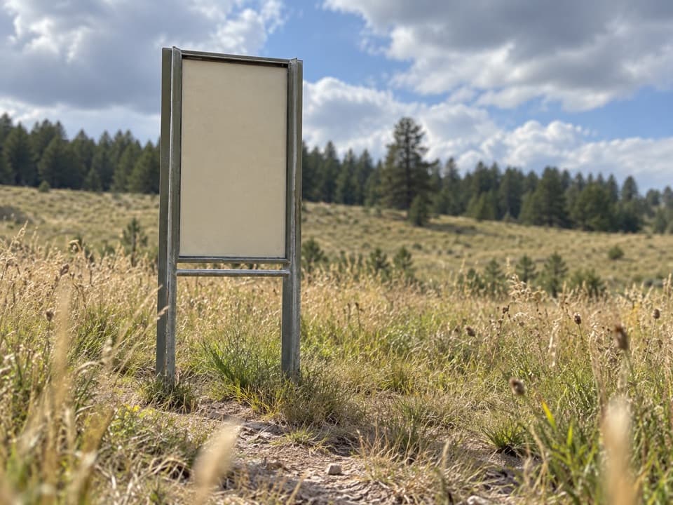 ModerateHighland Creek Trail8.6 mi · 5.5 hr · 2.9 mi away8.6 miles one way across prairie, creek bottoms, and canyons.
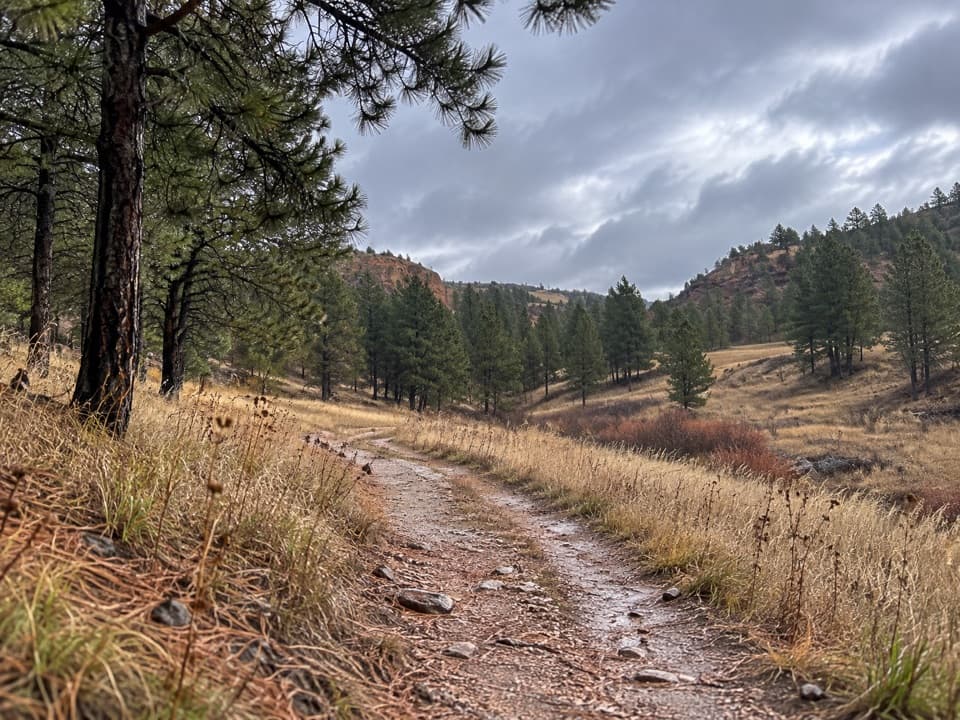 EasyWind Cave Canyon Trail3.6 mi · 2 hr · 5 mi awayAn easy former road beneath limestone cliffs, with nesting birds overhead.
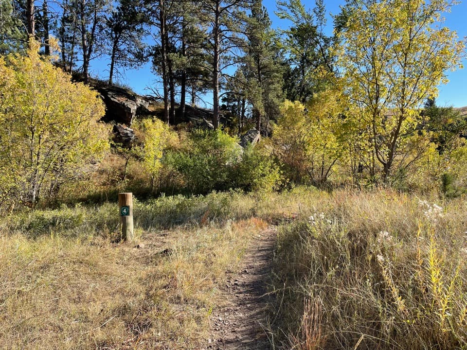 ModerateLookout Point Trail and Centennial Trail Loop4.8 mi · 2.5 hr · 5.2 mi awayPrairie dogs, creek bridges and one steep climb on a 4.8-mile loop.
 ModerateCentennial Trail: Norbeck to Highland Creek6 mi · 2.8 hr · 5.2 mi awayA six-mile one-way mix of prairie, ponderosa forest and creek crossings.
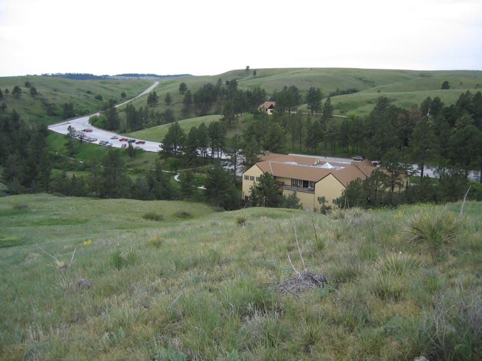 EasyPrairie Vista Nature Trail1 mi · 36 min · 5.4 mi awayA one-mile loop past the Natural Entrance and prairie waysides.
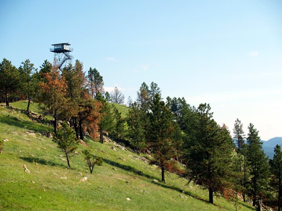 EasyRankin Ridge Nature Trail1 mi · 1 hr · 5.7 mi awayA short ridge loop with a fire tower and wide plains views.
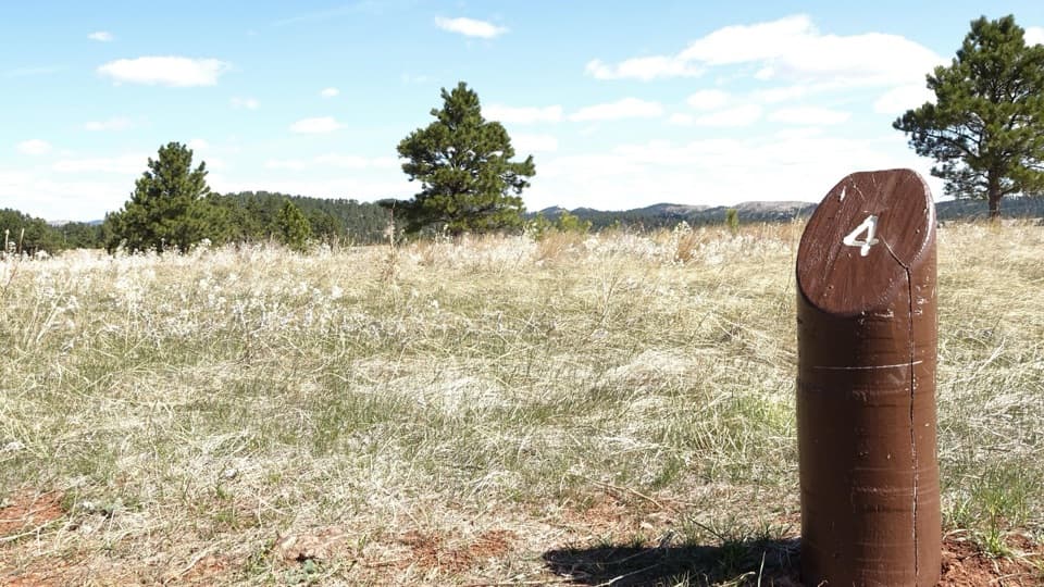 EasyElk Mountain Nature Trail0.7 mi · 45 min · 6 mi awayShort prairie-and-pine loop; listen for elk bugles in autumn.
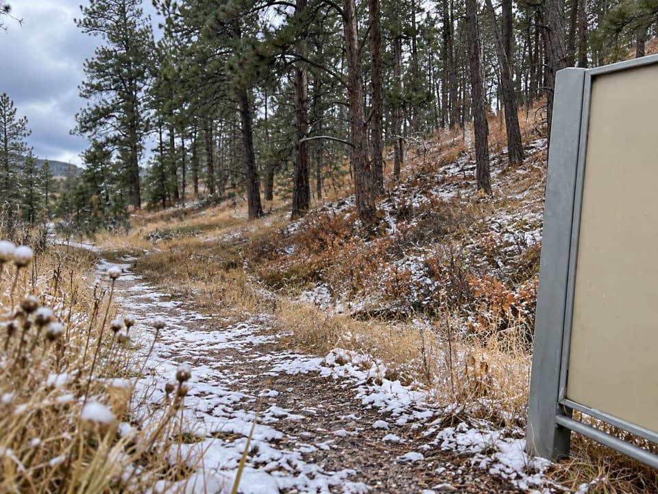 ModerateSanctuary Trail7.2 mi · 3.5 hr · 6 mi awaySeven miles of rolling prairie to a large prairie dog town.
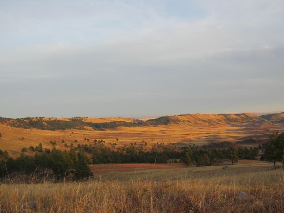 Scenic pullout · 1.8 mi awayHighland Ridge OverlookSee the red valley and hogback that ring the Black Hills.
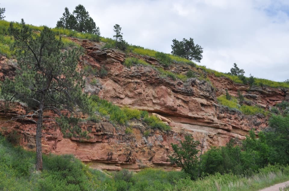 Sight · 4.6 mi awayMinnelusa FormationA short walk to striped rock layers if geology’s your thing.
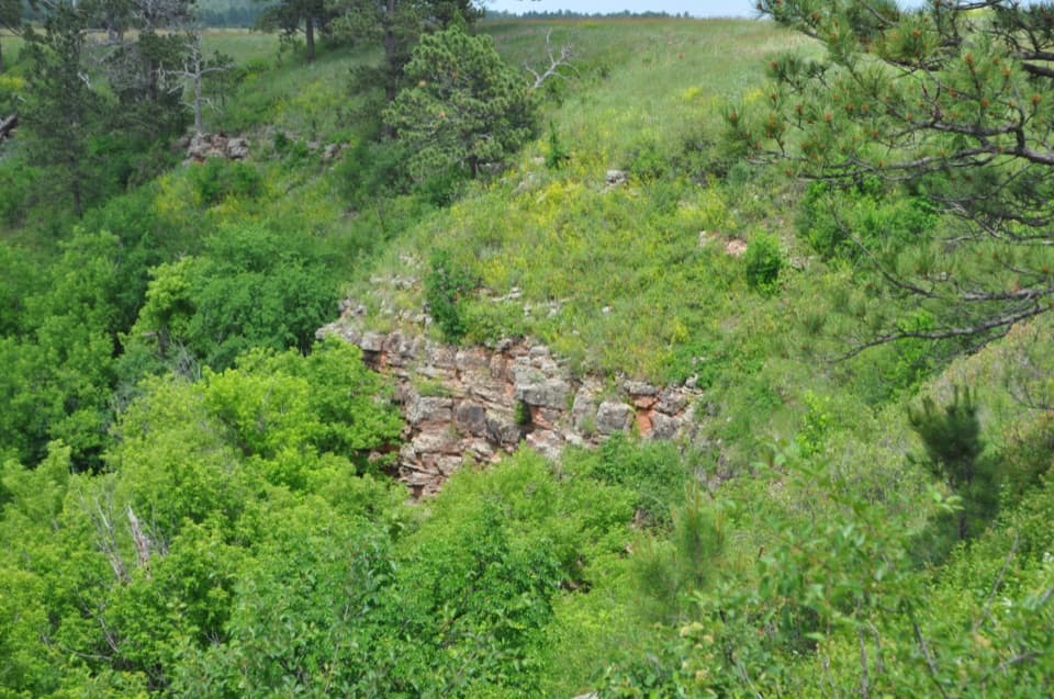 Sight · 5.3 mi awayDeadwood SandstoneA quick stop to read Wind Cave's Cambrian rock layers
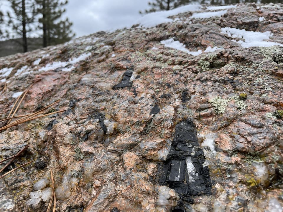 Sight · 5.3 mi awayAncient FoundationsFind pink feldspar, gray quartz and black tourmaline in ancient pegmatite.
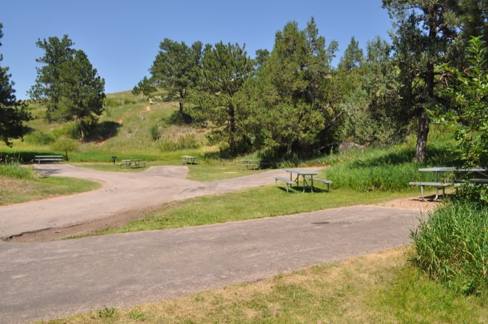 Picnic area · 5.3 mi awayWind Cave Picnic AreaA picnic stop with a 150-yard walk to the natural entrance.
 Historic marker · 5.4 mi awayAlvin McDonald GraveA memorial to the young explorer who mapped miles of Wind Cave.
 Visitor center · 5.4 mi awayWind Cave Visitor CenterStart here for the cave tour and its prairie-side story.
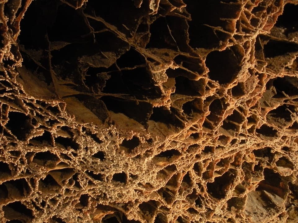 Sight · 5.4 mi awayWind CaveGet underground to see boxwork that’s rare elsewhere and abundant here.
Parkwolf’s Wind Cave ranking
The audio tour guide for the drive, plus offline maps, trails, and wildlife heatmaps for when the signal drops.