Minnelusa Formation in Wind Cave National Park

#8 of 10 sights in Wind Cave

Sight · Wind Cave National Park

Minnelusa Formation

A short walk to striped rock layers if geology’s your thing.

Photo: National Park Service
Type
Sight
Nearest trail
0.4 mi
Audio stories
5 nearby
  • Parking

Hear the audio tour

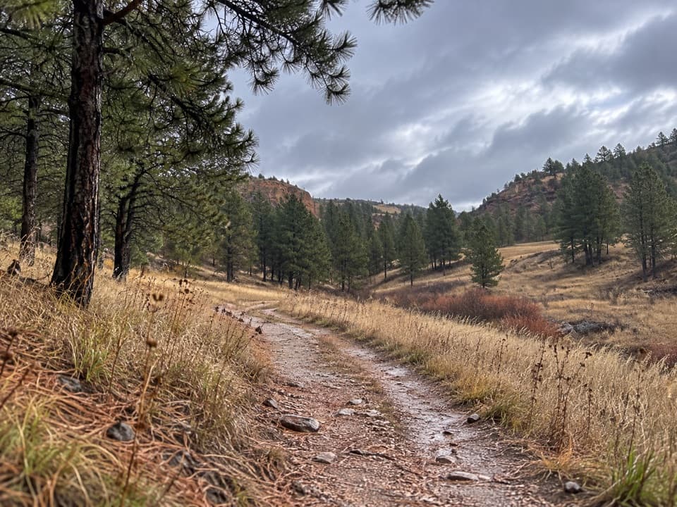
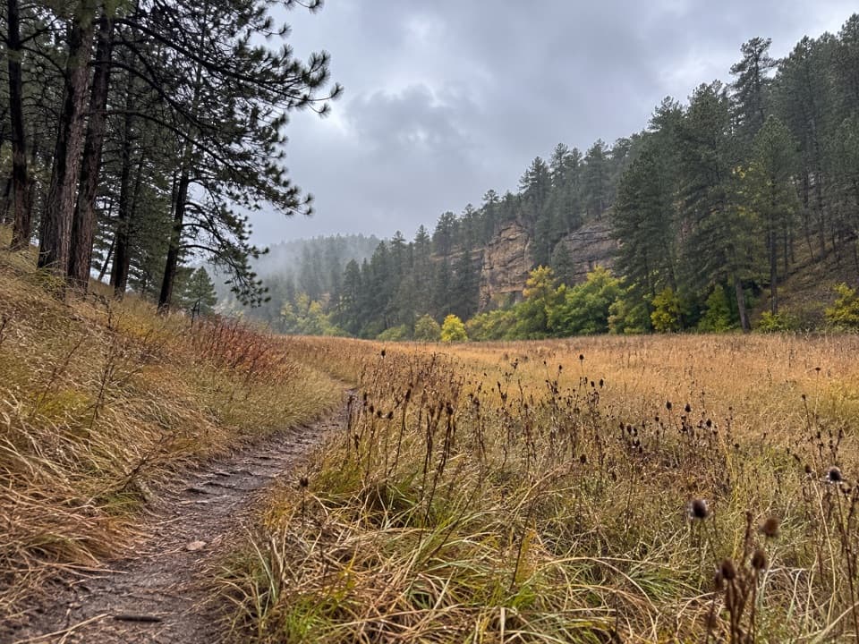
Wind Cave Canyon

Overview

About Minnelusa Formation

Why stop

  • Distinct colored layers make this a satisfying stop for geology fans.

Heads up

  • The outcrop takes an uneven one-mile round-trip walk to reach.

Map

Where it is

Loading the Wind Cave map
Full map
SightMinnelusa Formation43.55453, -103.45907
Keep this map with you offline in the Parkwolf app

Plan your stop

Before you go

1 active Wind Cave alert

  • ClosureNatural Entrance Tour Route closed for winterThe Natural Entrance Tour Route is closed for the season beginning October 1, 2026, because of the park’s annual winter seasonal closure. - The closure lasts through the winter season.Official details
Wind Cave alerts
A park ranger sits on a dash-mounted phone, talking, as Parkwolf’s Tour Guide plays “Army Cutworm Moths: A Grizzly Bear Buffet” on Grand Loop Road below Dunraven Pass in Yellowstone
Parkwolf Tour GuideThe highest, rockiest slopes around here are a summer buffet for grizzly bears.

Wind Cave Tour Guide

Your drive to Minnelusa Formation, narrated.

Parkwolf is a GPS audio tour guide for Wind Cave National Park. As you drive, it chimes in with what’s ahead: hidden gems, upcoming stops, history, geology, and wildlife, right through your car’s speakers.

Recorded for this place

Wind Cave Canyon
0:00 / 0:31
“Up ahead is the Wind Cave Canyon trailhead, for an easy walk along a former road between limestone cliffs. The full three-point-six-mile round trip takes about two hours, with a gradual climb on the return.”

Plays as you drive up to Minnelusa Formation in the Parkwolf Wind Cave Tour Guide.

More stories near here in the app

  • Wind Cave and Visitor Center
  • The Rock Between the Fins
  • The Crew Behind the Cave Route
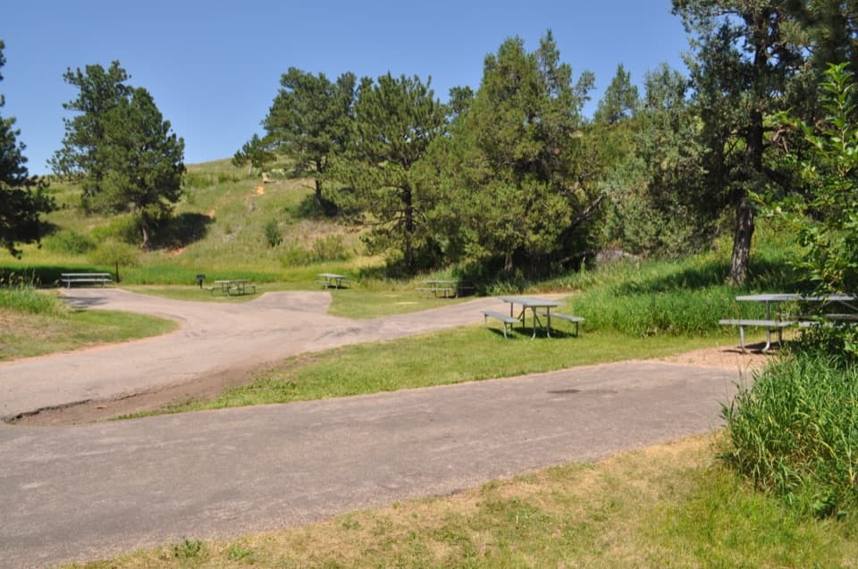
  • Elk Mountain Campground
  • 28 audio storiesacross Wind Cave’s roads, triggered by GPS as you drive
  • Wildlife heatmapsfor Bison, Elk, Pronghorn, and 13 more
  • Works offlinemaps, 11 trails, 14 places, and audio download before you lose signal
  • CarPlay readysimple controls built for the drive
★★★★★
“Fantastic app with many points of information… It’s great to just turn on while you’re driving and it gives you an audio tour of the national Park. We love it!!!!”
JMJamesApp Store review
Download Parkwolf on the App StoreGet Parkwolf on Google Play

4.7 from 8,600+ ratings

Guide

More about Minnelusa Formation

A short geology stopMinnelusa Formation is an exposed band of sedimentary rock in Wind Cave Canyon and the third…

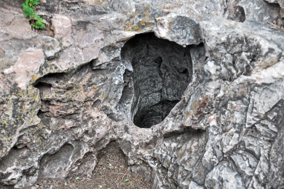
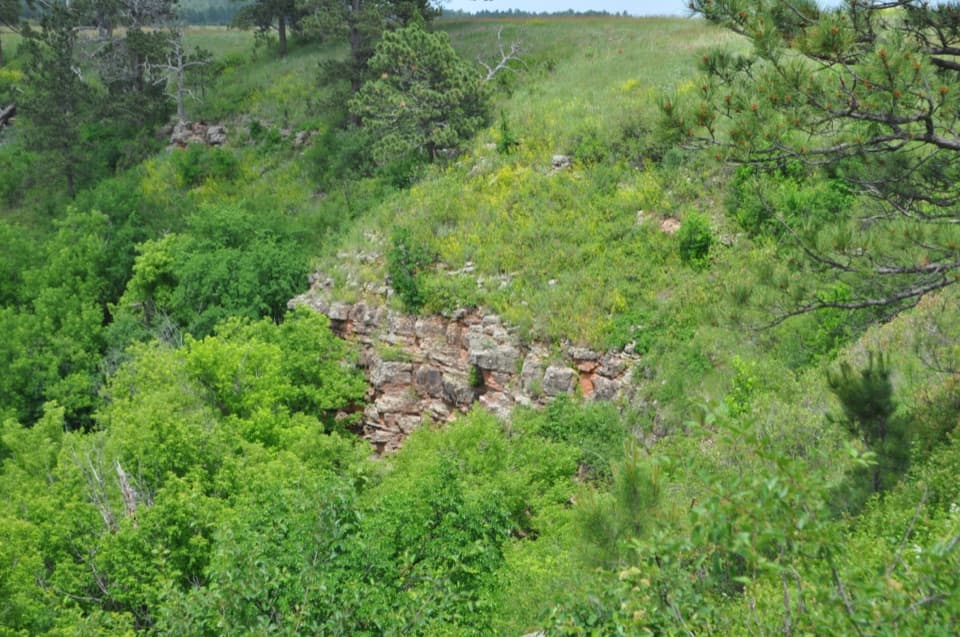
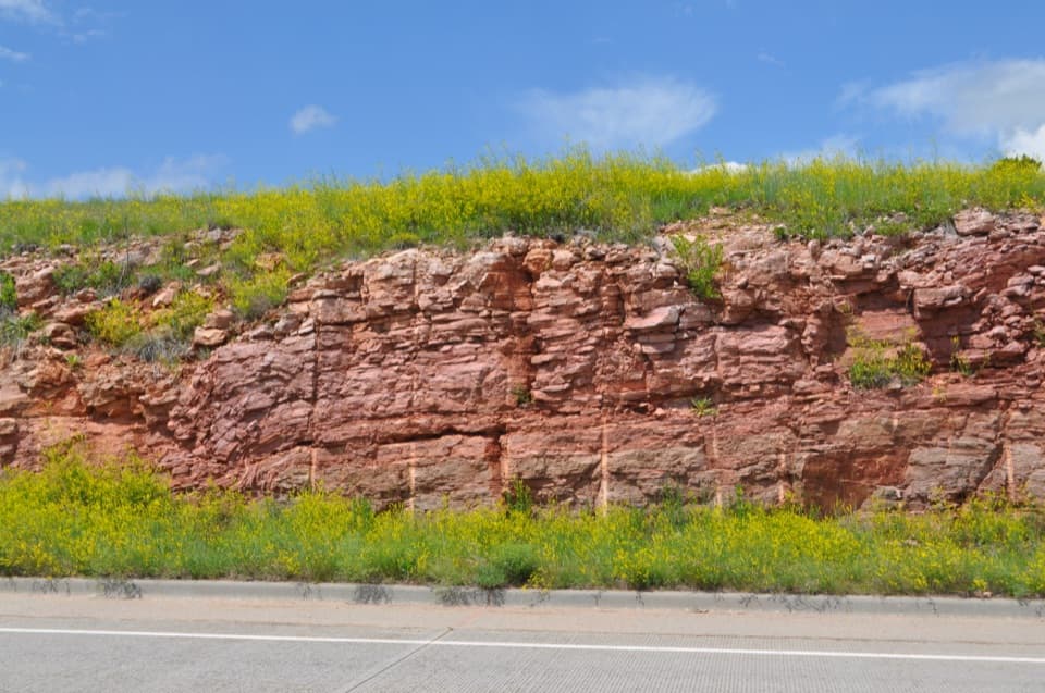
Minnelusa Formation is an exposed band of sedimentary rock in Wind Cave Canyon and the third stop on the park’s self-guided geology drive. It’s a focused detour for anyone who likes reading a landscape through its rocks; if geology isn’t your thing, a mile-long round trip for one outcrop is an easy skip.

Read the layersOn the canyon’s left side, the formation appears in alternating horizontal beds of limestone,…

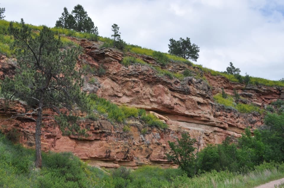
On the canyon’s left side, the formation appears in alternating horizontal beds of limestone, sandstone and shale. The colors run from yellow to red, while the shale is grayish cream. Compare these layers with the Minnekahta Limestone at Stop 2 to see how two neighboring formations differ.

A window into the Black HillsThe Minnelusa beds date to the Pennsylvanian and Permian periods.

The Minnelusa beds date to the Pennsylvanian and Permian periods. Across this part of the Black Hills, shallow seas periodically left sediments over much older rock. The hills rose into a dome about 70 million years ago, and erosion cut down through the layers to expose the rocks you see here.

Build in the walkThe self-guided geology drive covers about 20 miles and seven stops, with a 60-to-90-minute…

The self-guided geology drive covers about 20 miles and seven stops, with a 60-to-90-minute estimate for the outing. For this stop, park at Wind Cave Canyon trailhead, 3.9 miles north on US 385, then walk about one mile round trip to the outcrop. The canyon route is a gravel service road with uneven ground and occasional steep grades; visitor vehicles do not continue past the trailhead. Pick up the printed stop guide and geologic timeline at the visitor center, and fuel up before the drive—there’s no gas sold in the park.

Wildlife

Wildlife in Wind Cave

All Wind Cave wildlife maps

Sighting maps show where each species has been reported across Wind Cave. Wildlife moves, so no sighting is guaranteed.

Keep exploring

Near Minnelusa Formation

See it all on the map

Trails nearby

More stops nearby

Parkwolf’s Wind Cave ranking

Top sights in Wind Cave

All 14 places
  1. 1Wind CaveSight
  2. 2Wind Cave Natural EntranceSight
  3. 3Rankin Ridge Fire TowerSight
  4. 4Beaver Creek BridgeSight
  5. 5Pigtail BridgeSight
  6. 6Highland Ridge OverlookScenic pullout

Take Parkwolf to Wind Cave.

The audio tour guide for the drive, plus offline maps, trails, and wildlife heatmaps for when the signal drops.

4.7 from 8,600+ ratings

Download Parkwolf on the App StoreGet Parkwolf on Google Play