Overview
About Jumbo Mine
Why stop
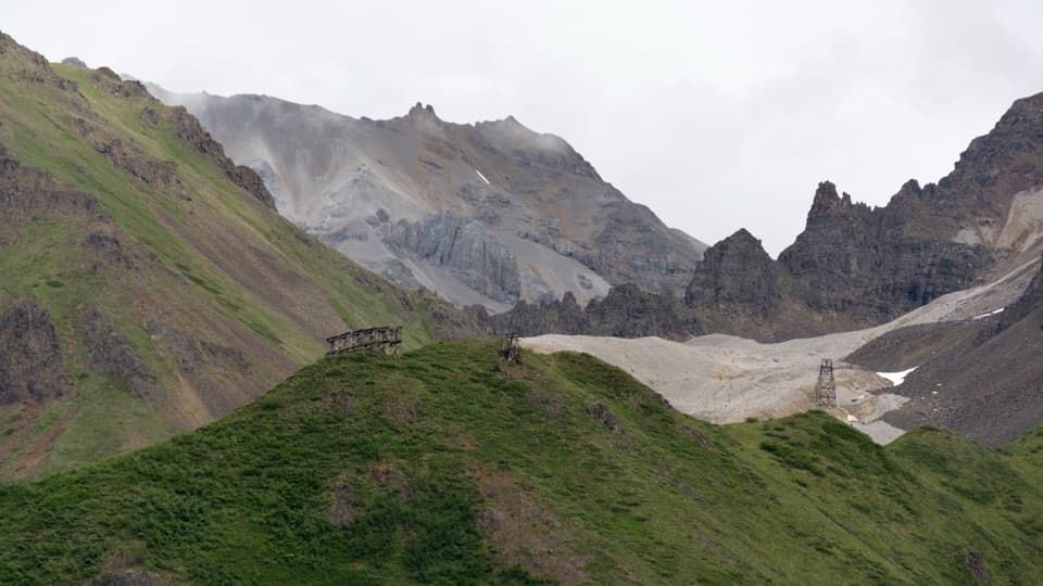
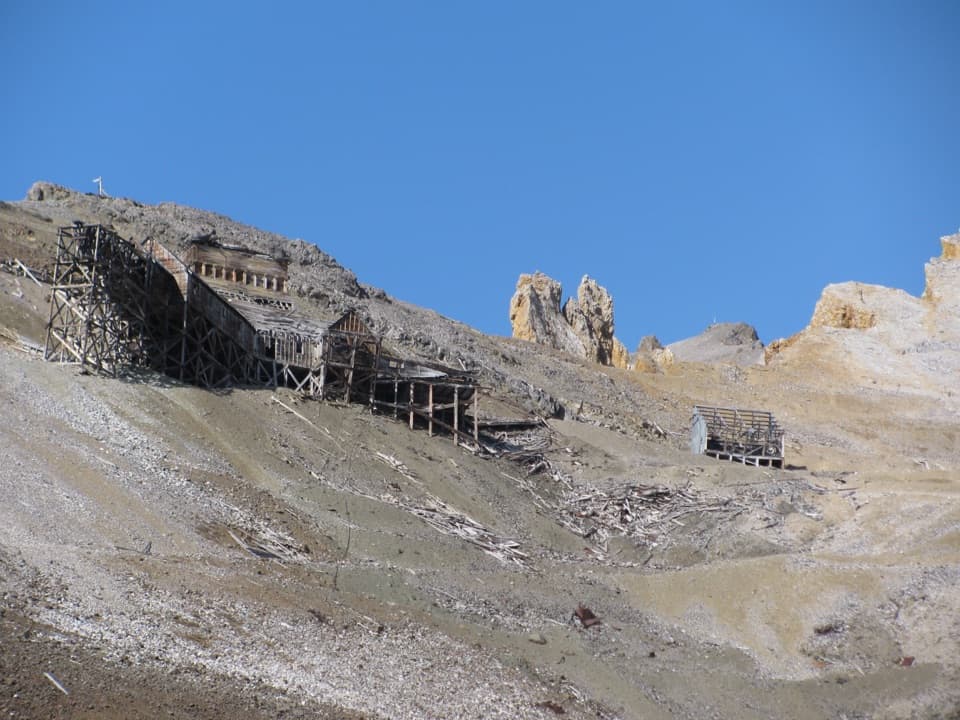
- Tramway relics connect the high mine to Kennecott’s mill below.
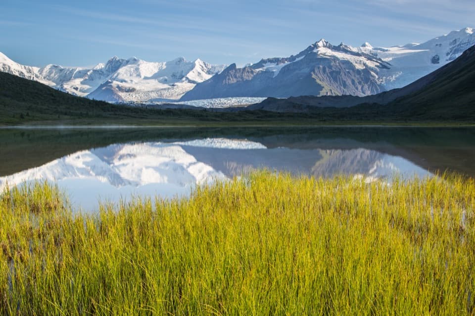
- The transfer station looks south across Kennicott Valley to the Chugach.
Heads up
- The round trip is long and steep, with a faint final approach.
Map
Where it is

The highest, rockiest slopes around here are a summer buffet for grizzly bears.
Wrangell-St. Elias Tour Guide
Your drive to Jumbo Mine, narrated.
Parkwolf is a GPS audio tour guide for Wrangell-St. Elias National Park. As you drive, it chimes in with what’s ahead: hidden gems, upcoming stops, history, geology, and wildlife, right through your car’s speakers.
See the Wrangell-St. Elias audio tourRecorded for this place
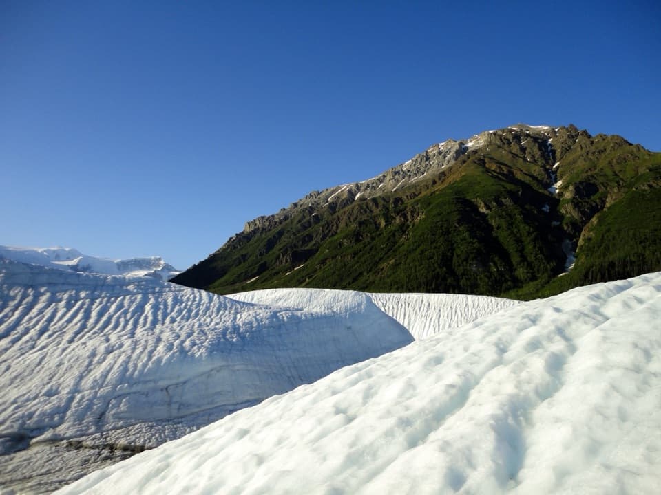
Root Glacier from Kennecott“You're approaching Kennecott, where the walk to Root Glacier begins. Go for ridged ice beneath Donoho Peak, but expect about five miles of walking round trip, including a steep, rocky descent and the climb back out.”
Plays as you drive up to Jumbo Mine in the Parkwolf Wrangell-St. Elias Tour Guide.
More stories near here in the app
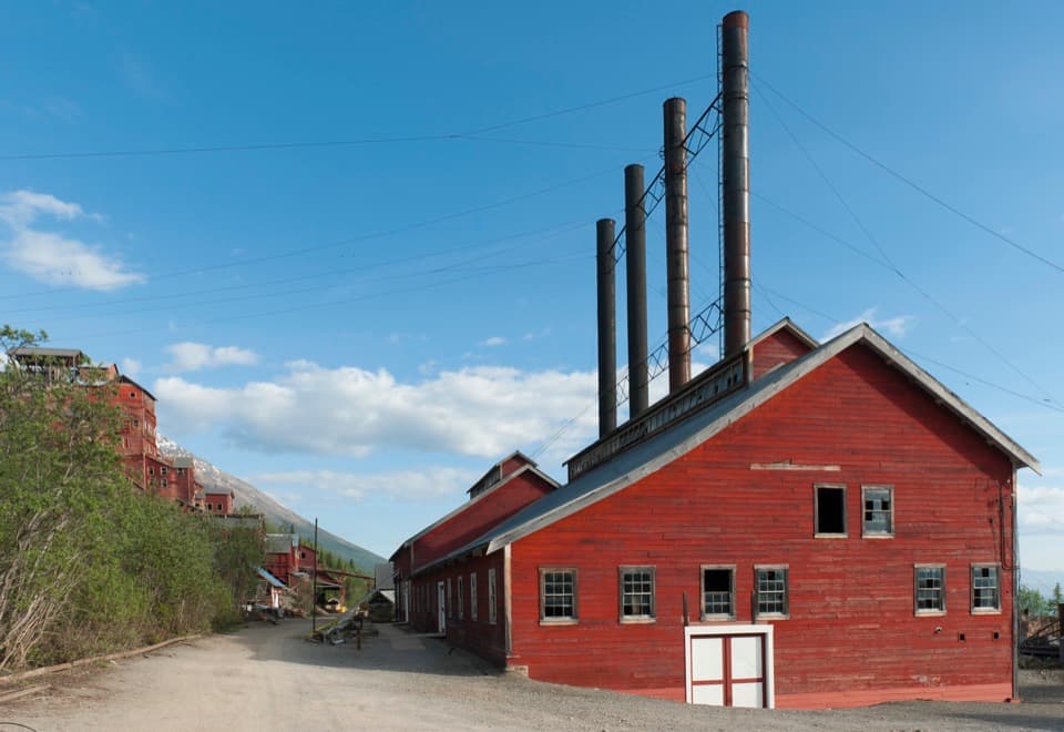
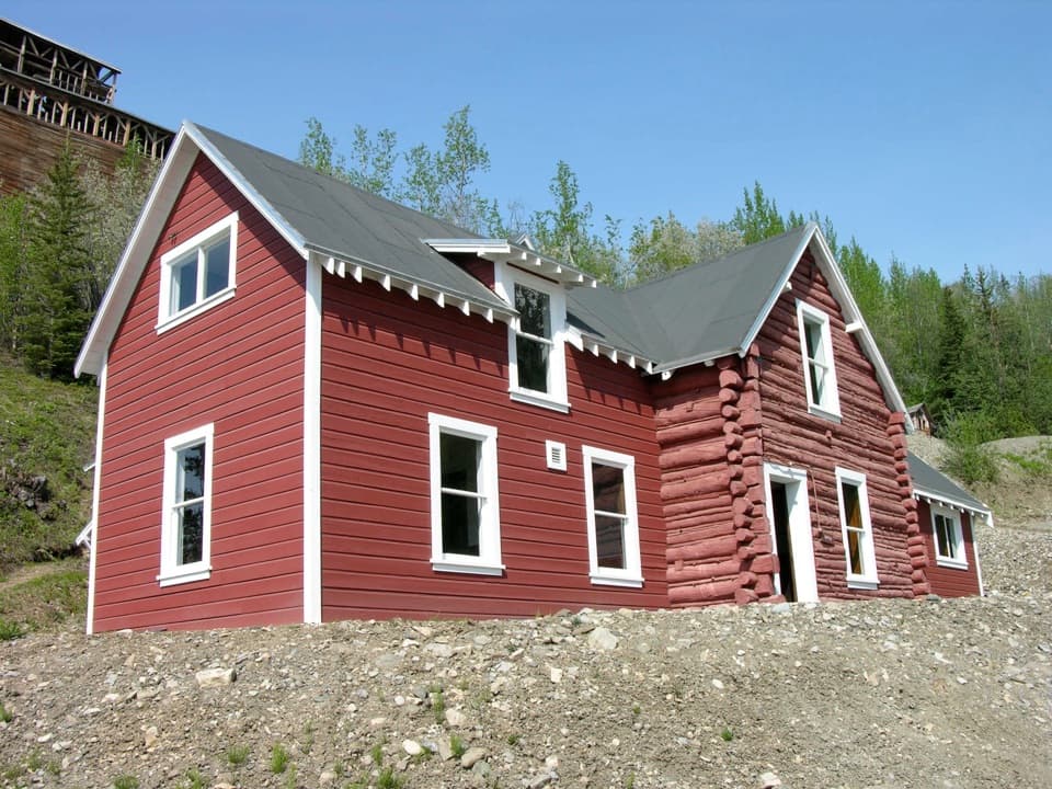
- Kennecott Mill Town
- A Meal in Kennecott
- Eight Cents for Medical Care
- 81 audio storiesacross Wrangell-St. Elias’s roads, triggered by GPS as you drive
- Wildlife heatmapsfor Grizzly Bear, Moose, Humpback Whale, and 13 more
- Works offlinemaps, 28 trails, 62 places, and audio download before you lose signal
- CarPlay readysimple controls built for the drive
“Fantastic app with many points of information… It’s great to just turn on while you’re driving and it gives you an audio tour of the national Park. We love it!!!!”


Guide
More about Jumbo Mine
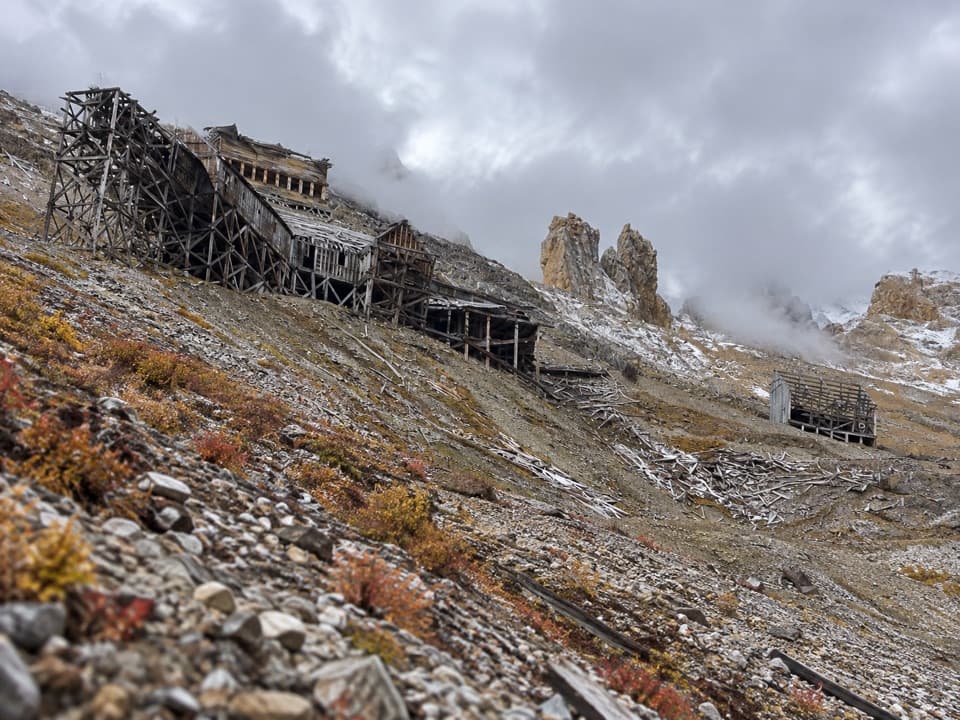
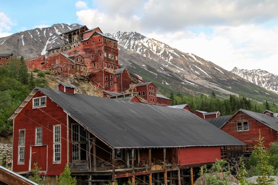
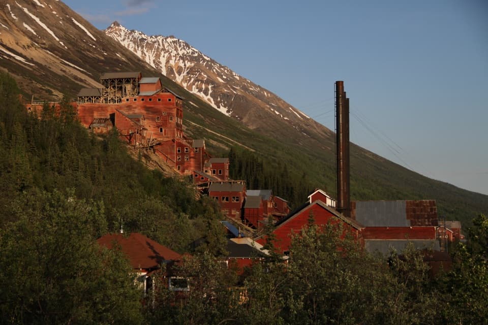
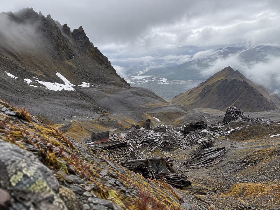
A full-day climb above KennecottJumbo Mine is a historic copper mine in a craggy alpine bowl high above Kennecott.
Jumbo Mine is a historic copper mine in a craggy alpine bowl high above Kennecott. The National Park Service lists the hike at about 10 miles round trip, with 3,400 feet of climbing and a 6–8 hour round trip. You come for the scattered mine remains, tramway relics and big mountain views. Keep it on your list if that kind of long, steep day sounds good; if you want an easier outing, explore Kennecott or head toward Root Glacier instead.
Follow the route into the bowlStart in Kennecott Mill Town toward Root Glacier.
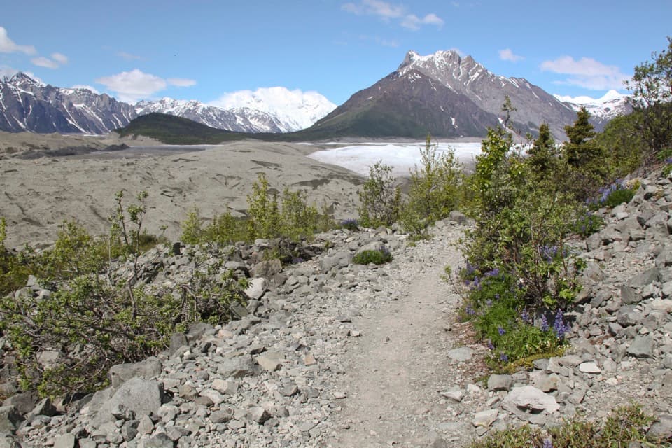
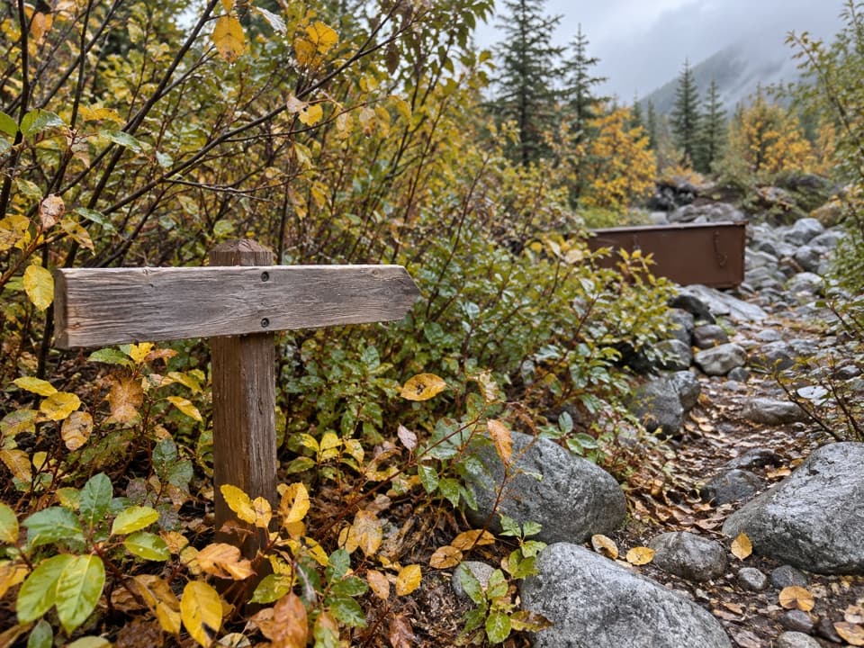
Start in Kennecott Mill Town toward Root Glacier. After about half a mile, the Jumbo Mine route branches uphill; at the later signed junction for Jumbo and Bonanza, take the Jumbo route. The climb is steep, and the final half-mile gets indistinct across rocky ground and traces of the old mine road. Bonanza Creek crosses the trail and can run high in early summer, when a crossing may mean wet feet.
A mine linked to its mill by tramJumbo opened in 1913 and became the largest of Kennecott’s mines by production.
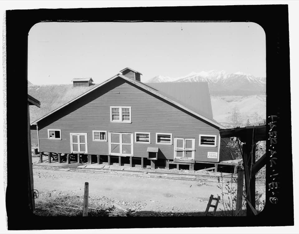
Jumbo opened in 1913 and became the largest of Kennecott’s mines by production. Its 16,000-foot tramway connected the high mine to the Kennecott Mill. When weather allowed, miners sometimes rode in ore buckets between the mine and mill town. The old transfer station and tramway remains make that long link easier to picture.
Look across the valley, then leave the ruins aloneThe transfer station gives you a south-facing view over Kennicott Valley toward the Chugach…
The transfer station gives you a south-facing view over Kennicott Valley toward the Chugach Range. Farther up, the mine bowl holds scattered building remains, tools and other artifacts. For a photo, keep some of the ruins in the foreground with the surrounding slopes and valley behind; that shows how high and exposed the site is. The buildings have not been stabilized, so stay outside them and leave every artifact where it is.
Wildlife
Wildlife in Wrangell-St. Elias
 113 sightingsGrizzly BearMost seen around 9 PMSighting map
 66 sightingsMooseMost seen around 8 PMSighting map
 21 sightingsHumpback WhaleMost seen around 1 PMSighting map
 46 sightingsSteller Sea LionMost seen around 11 AMSighting map
 39 sightingsBlack BearMost seen around 8 PMSighting map
 48 sightingsBald EagleMost seen around 5 PMSighting map
Sighting maps show where each species has been reported across Wrangell-St. Elias. Wildlife moves, so no sighting is guaranteed.