Overview
About North Sacking Shed & Flotation
Why stop
- The scale model and flotation view make Kennecott’s mine-to-mill process easier to picture.
Heads up
- Reaching the shed takes a 60-mile unpaved drive and another five miles beyond the river footbridge.
Map
Where it is

The highest, rockiest slopes around here are a summer buffet for grizzly bears.
Wrangell-St. Elias Tour Guide
Your drive to North Sacking Shed & Flotation, narrated.
Parkwolf is a GPS audio tour guide for Wrangell-St. Elias National Park. As you drive, it chimes in with what’s ahead: hidden gems, upcoming stops, history, geology, and wildlife, right through your car’s speakers.
See the Wrangell-St. Elias audio tourRecorded for this place
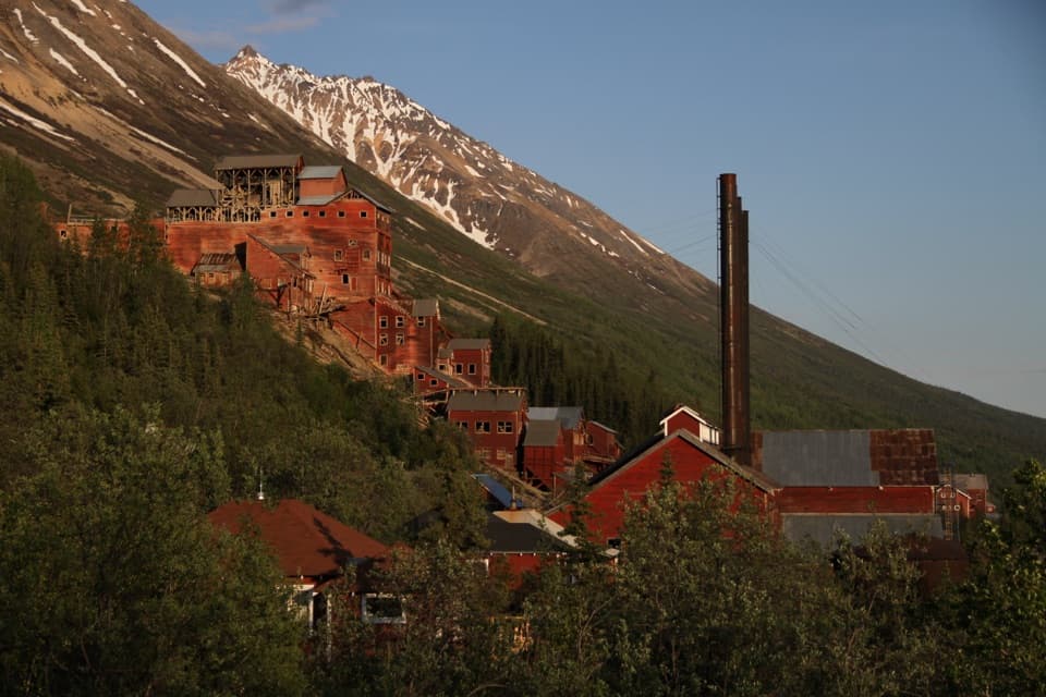
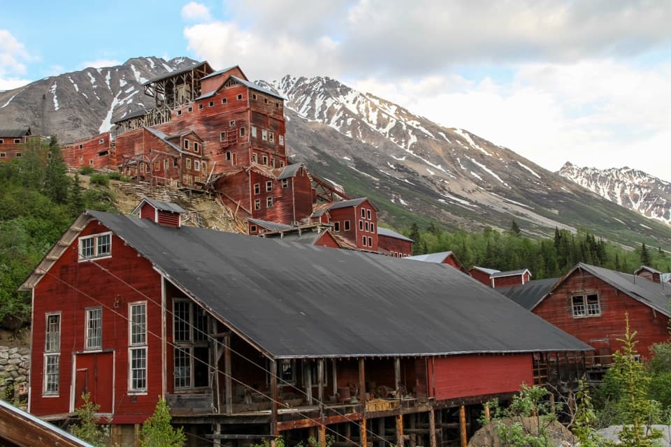
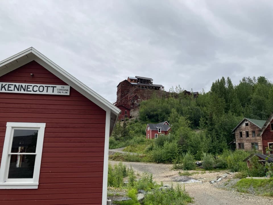
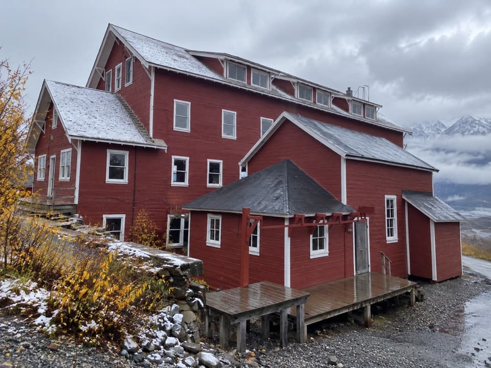
Kennecott Mill Town“You're coming up on Kennecott's historic mill town, where a fourteen-story red mill rises above the other buildings. Give the town a few hours; there's much more here than the mill itself.”
Plays as you drive up to North Sacking Shed & Flotation in the Parkwolf Wrangell-St. Elias Tour Guide.
More stories near here in the app
- A Meal in Kennecott
- Root Glacier from Kennecott
- Eight Cents for Medical Care
- McCarthy-Kennicott Historical Museum
- 81 audio storiesacross Wrangell-St. Elias’s roads, triggered by GPS as you drive
- Wildlife heatmapsfor Grizzly Bear, Moose, Humpback Whale, and 13 more
- Works offlinemaps, 28 trails, 62 places, and audio download before you lose signal
- CarPlay readysimple controls built for the drive
“Fantastic app with many points of information… It’s great to just turn on while you’re driving and it gives you an audio tour of the national Park. We love it!!!!”


Guide
More about North Sacking Shed & Flotation
Start with the modelThe North Sacking Shed is a public exhibit building in Kennecott’s historic mill town.
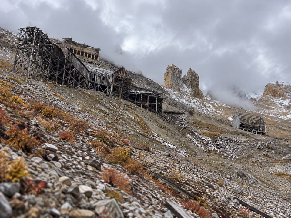
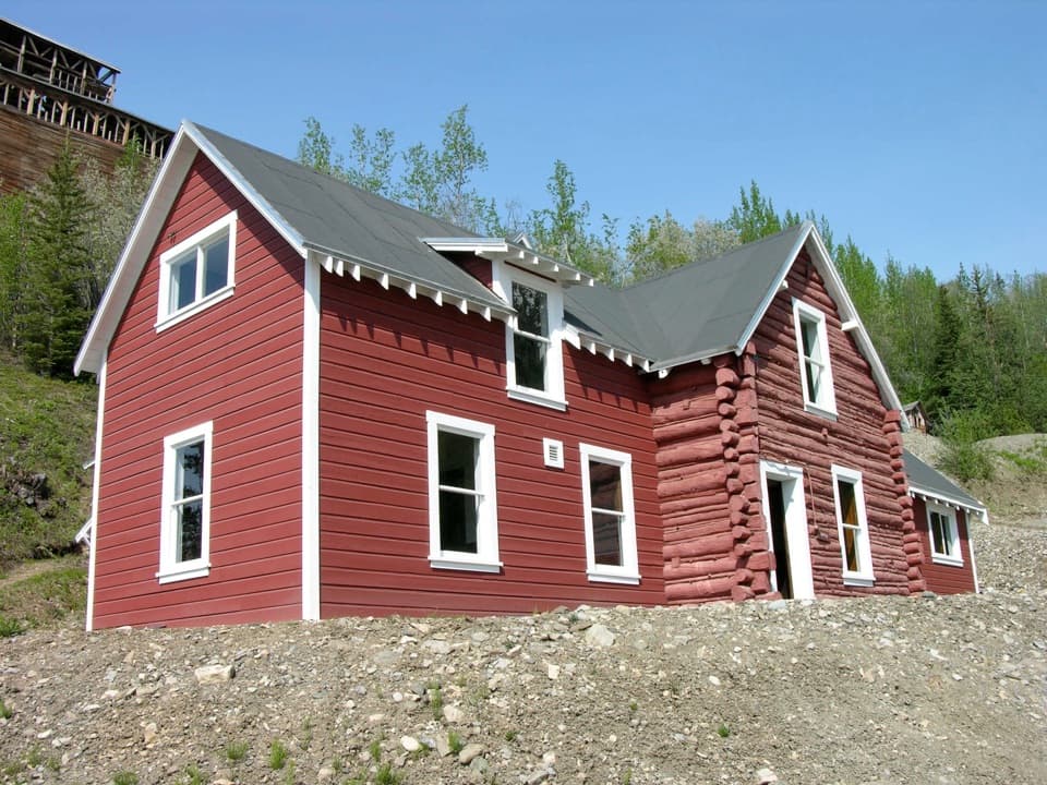
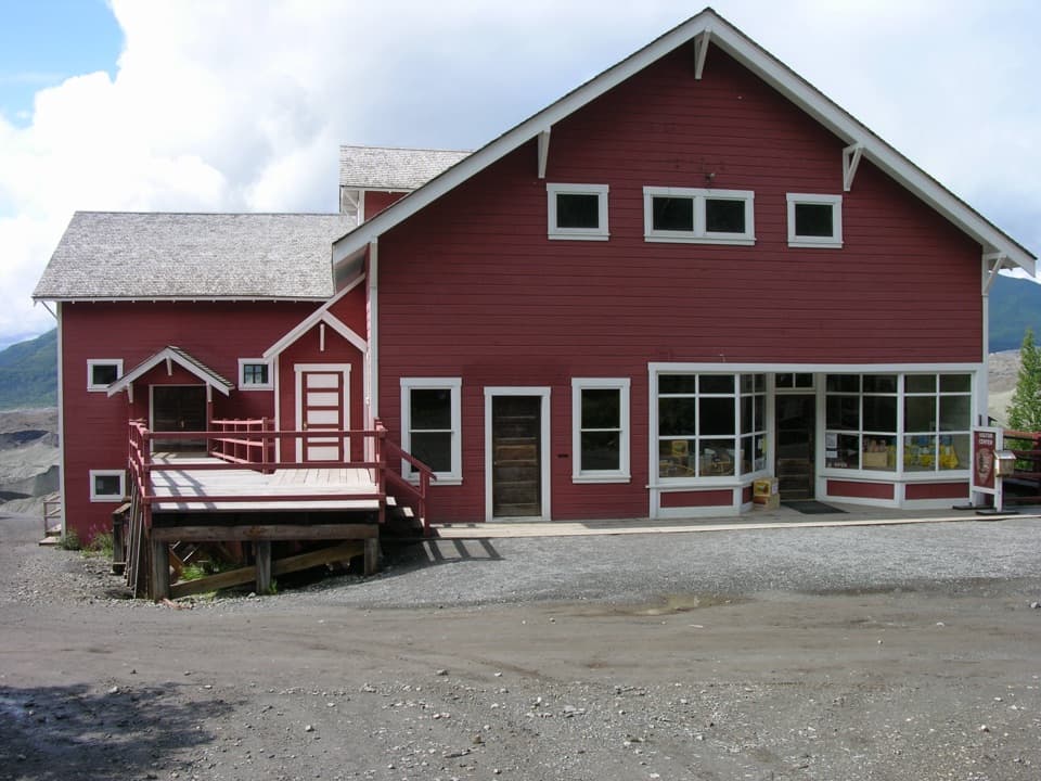
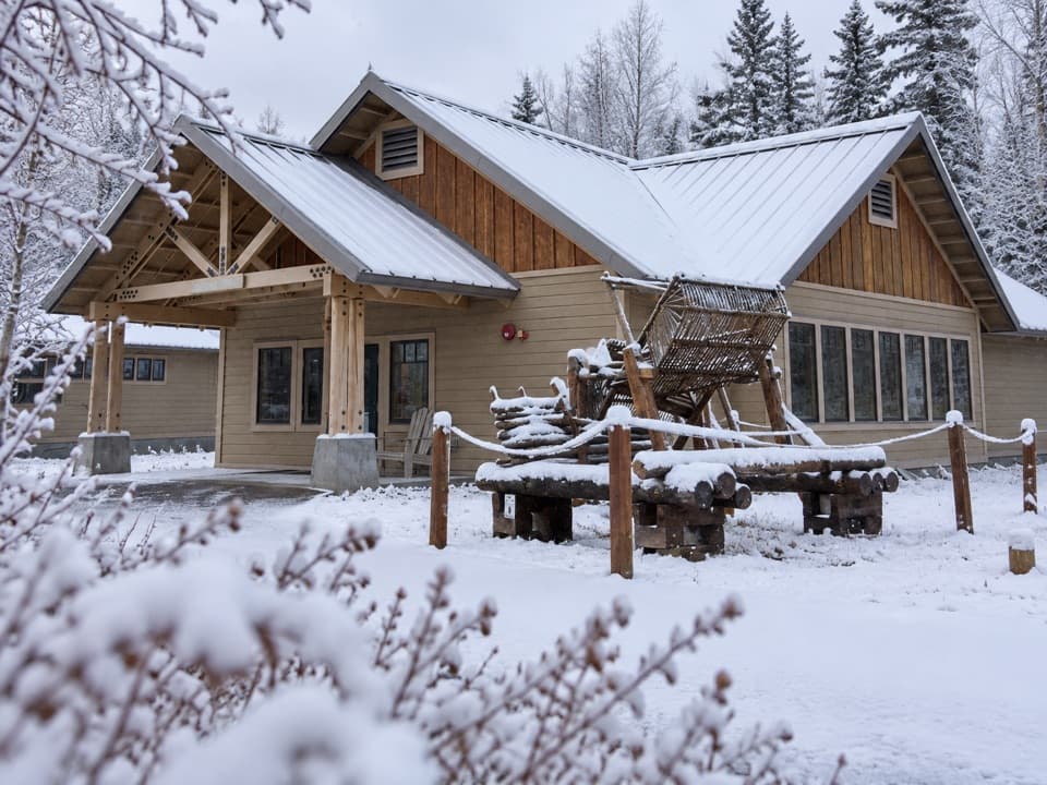
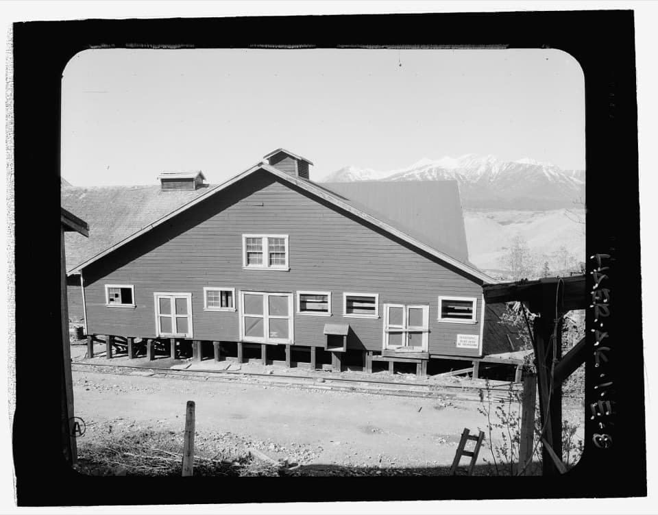
The North Sacking Shed is a public exhibit building in Kennecott’s historic mill town. Inside, a scale model of Bonanza Ridge lays out the mine tunnels, tramways and trails; you can also look into the flotation plant and see other exhibits. It’s the clearest stop for understanding how the mountain mines connected to the mill, and it fits best as one part of a walk through the town’s other historic buildings.
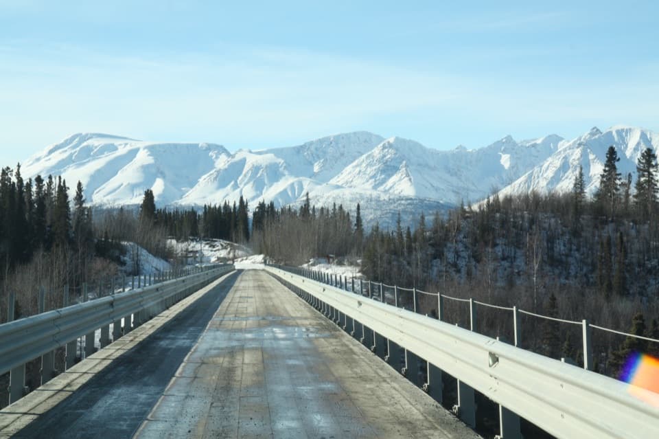
Plan for the last five milesMcCarthy Road is unpaved for 60 miles and ends at the Kennicott River footbridge.
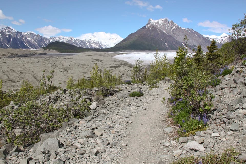
McCarthy Road is unpaved for 60 miles and ends at the Kennicott River footbridge. From there, Kennecott is another five miles by foot, bicycle or shuttle. The shed is a stop within that remote historic town, not a roadside pullout, so allow for the trip in and time to see more than one building.
How flotation captured copperAt the mill, finely ground ore met bubbles made with eucalyptus oil.
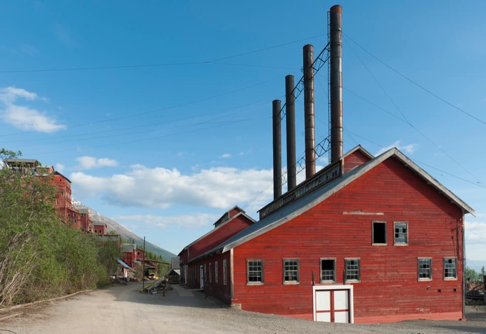
At the mill, finely ground ore met bubbles made with eucalyptus oil. Copper particles clung to the bubbles and rose as froth, which was skimmed off, dried, sacked and shipped by rail. The shed’s view into the flotation plant connects that sequence to the equipment that handled it; the mill’s several processing stages together recovered 98 percent of the copper brought down from the mines.
A whole mountain of mine workingsFive mines were linked by about 70 miles of tunnels and three miles of aerial trams.
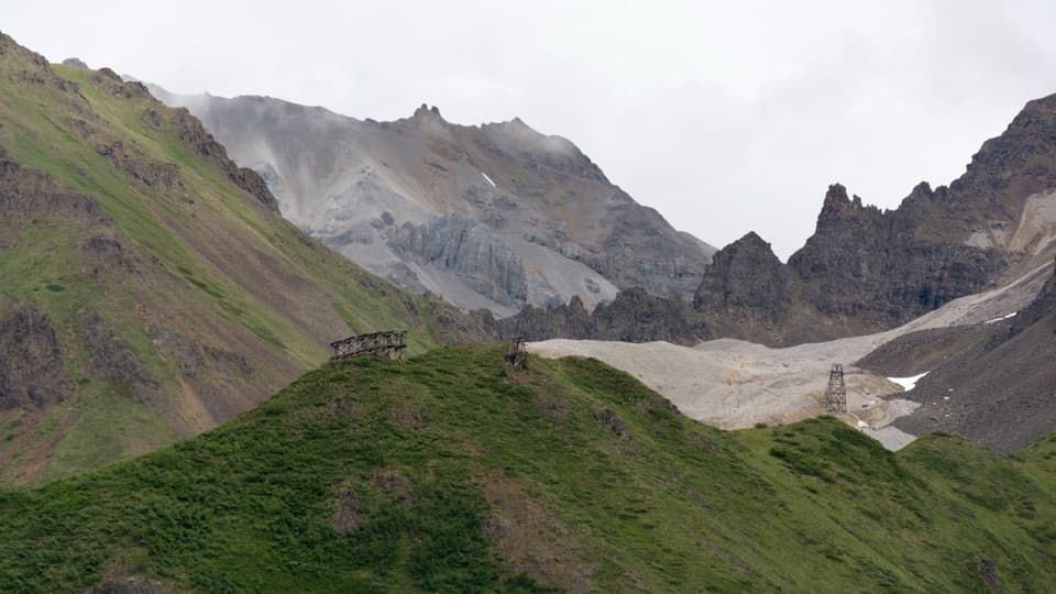
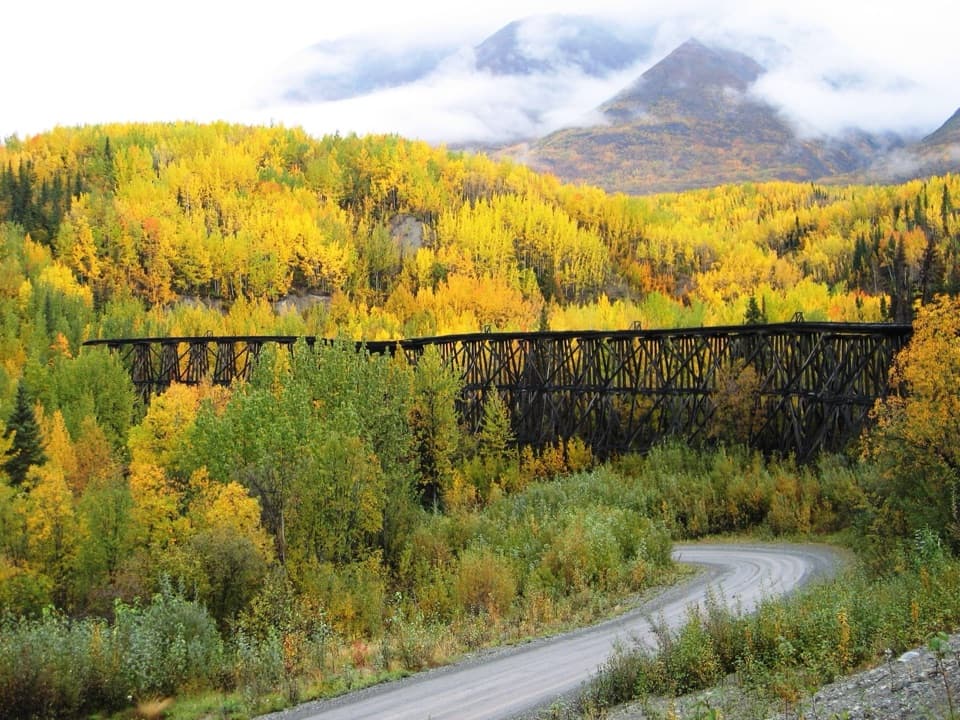
Five mines were linked by about 70 miles of tunnels and three miles of aerial trams. The Bonanza Ridge model pulls that spread-out network into one view, so you can follow how ore traveled down from the mines and how trails and tramways fit together.
The company town behind the millKennecott processed nearly $200 million worth of copper from 1911 to 1938.
Kennecott processed nearly $200 million worth of copper from 1911 to 1938. At the operation’s peak, roughly 300 people worked in the mill town and another 200 to 300 in the mines. The company town had its own hospital, school and dairy, plus a recreation hall with a skating rink and tennis court. Kennecott was listed on the National Register in 1978 and designated a National Historic Landmark in 1986.
Wildlife
Wildlife in Wrangell-St. Elias
 113 sightingsGrizzly BearMost seen around 9 PMSighting map
 66 sightingsMooseMost seen around 8 PMSighting map
 21 sightingsHumpback WhaleMost seen around 1 PMSighting map
 46 sightingsSteller Sea LionMost seen around 11 AMSighting map
 39 sightingsBlack BearMost seen around 8 PMSighting map
 48 sightingsBald EagleMost seen around 5 PMSighting map
Sighting maps show where each species has been reported across Wrangell-St. Elias. Wildlife moves, so no sighting is guaranteed.