Parking
Begin at Kennecott Visitor Center off McCarthy Road; the route starts north through Kennecott Mill Town.
Wrangell-St. Elias National Park, AK
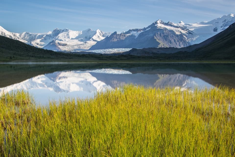
Glacier travel opens into a remote basin of alpine lakes.
Photo: Neal Herbert / NPS
Overview
Map & elevation
Plan your hike

The highest, rockiest slopes around here are a summer buffet for grizzly bears.
Wrangell-St. Elias Tour Guide
Parkwolf is a GPS audio tour guide for Wrangell-St. Elias National Park. As you drive, it chimes in with what’s ahead: hidden gems, upcoming stops, history, geology, and wildlife, right through your car’s speakers.
See the Wrangell-St. Elias audio tourRecorded for this trailhead
Root Glacier from Kennecott“You're approaching Kennecott, where the walk to Root Glacier begins. Go for ridged ice beneath Donoho Peak, but expect about five miles of walking round trip, including a steep, rocky descent and the climb back out.”
Plays as you drive up to this trailhead in the Parkwolf Wrangell-St. Elias Tour Guide.
More stories near here in the app
“Fantastic app with many points of information… It’s great to just turn on while you’re driving and it gives you an audio tour of the national Park. We love it!!!!”


Trail guide
Donoho Basin Trail is an out-and-back from the Kennecott Visitor Center, across Root Glacier and into the lake-filled peninsula between Root and Kennicott glaciers. The mapped line to the west-side camp and food boxes measures about 14.4 miles round trip; park directions give 5 miles one way (10 miles round trip) to the first lake, with more distance if you continue west. Plan for two days or more. Both mileages are approximate: the glacier crossing and its entry and exit change from year to year, and the route grows less distinct beyond the larger lake.
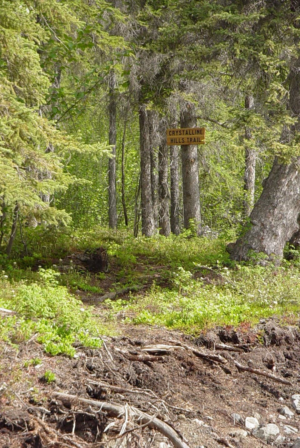
Start at the Kennecott Visitor Center and walk north through Kennecott Mill Town. About half a mile beyond the visitor center, take the left branch. The route crosses Bonanza Creek and follows the lateral moraines, then turns sharply uphill after about a mile. Cross Jumbo Creek on its footbridge; the Root Glacier access is about a quarter mile farther. Primitive campsites, an outhouse and food lockers are available near that access area.
At the Root Glacier sign, turn left and descend the moraine to the ice. The crossing is about 1.5 miles west-northwest over rolling ice, a medial moraine and icy slopes toward the low saddle between Donoho Peak and the 3,100-foot hill. Crampons are required; carry an ice axe and/or trekking poles. Glacier access changes yearly. The exit onto the lateral moraine can be muddy and slippery, and melt pools and potholes need careful navigation.
From the saddle, the primitive route climbs to the north side of a small lake, where feet can get wet. It crosses an outlet stream and follows the south side of the larger second lake through brushy tundra. Past that lake the route becomes less distinct; low brush and dry stream beds lead toward the west-side camp near the Kennicott and Gates Glacier junction. At Second Lake, the glaciated peaks and grassy shore make a memorable view; keeping some foreground shore in a photo gives the lake and mountain backdrop scale.
This is strenuous glacier travel for parties already able to navigate with map and compass and handle self-rescue; help is not readily available. Bears are commonly encountered and proper bear-resistant food storage is required. Bear boxes are marked at selected campsites. Groups of 8–12 camping in the basin must register with the park and obtain a permit. Dogs are allowed on park trails and in the backcountry on a leash no longer than six feet.
Wildlife
 113 sightingsGrizzly BearMost seen around 9 PMSighting map
 66 sightingsMooseMost seen around 8 PMSighting map
 21 sightingsHumpback WhaleMost seen around 1 PMSighting map
 46 sightingsSteller Sea LionMost seen around 11 AMSighting map
 39 sightingsBlack BearMost seen around 8 PMSighting map
 48 sightingsBald EagleMost seen around 5 PMSighting map
Sighting maps show where each species has been reported across Wrangell-St. Elias. Wildlife moves, so no sighting is guaranteed.
Keep exploring
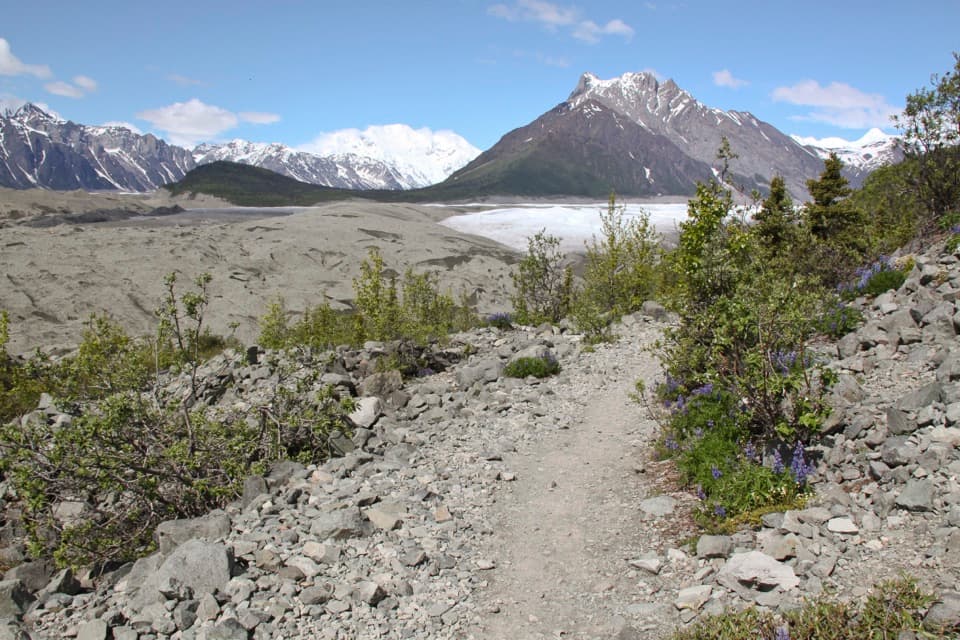 ModerateErie Mine Trail8 mi · 4.5 hr · At the trailheadGlacier views and old mining traces on a long moraine walk.ModerateRoot Glacier Trail4.5 mi · 3.5 hr · At the trailheadA 4.5-mile round trip to Root Glacier’s moraine edge.
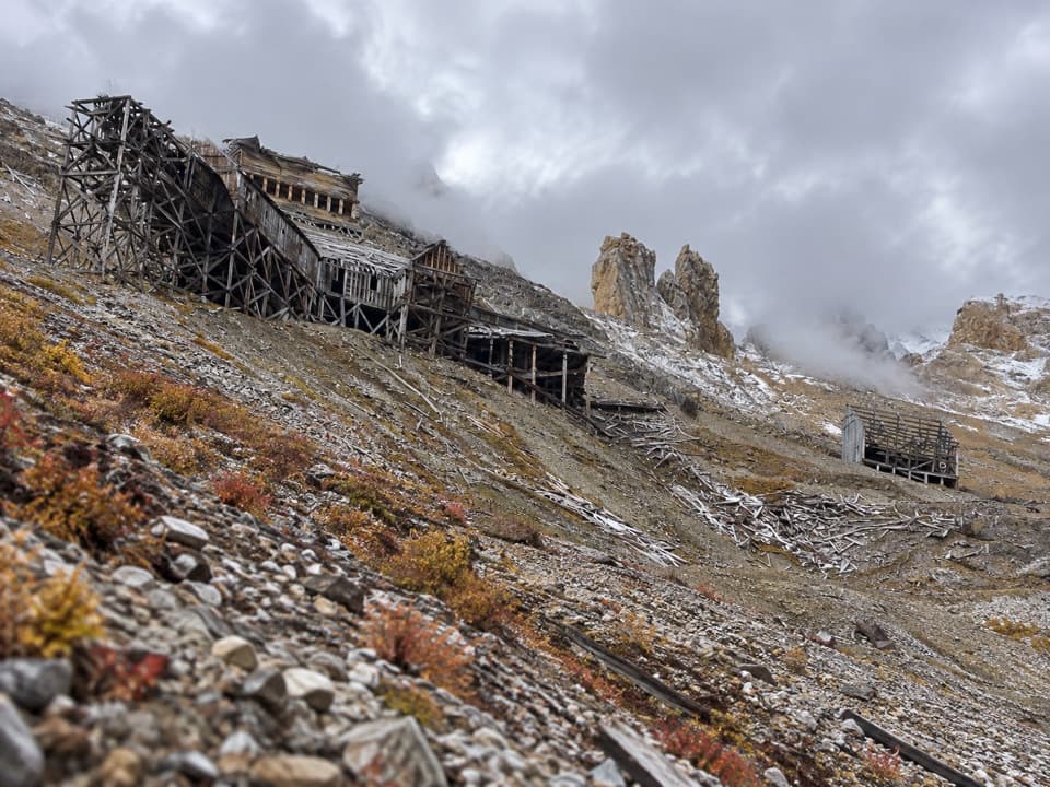 ChallengingBonanza Mine Trail9 mi · 7 hr · 0.4 mi awayMine ruins and glacier panoramas cap a 9-mile, 3,800-foot climb.
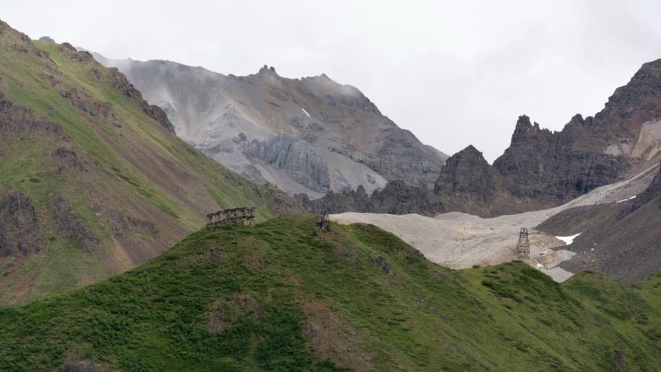 ChallengingJumbo Mine Trail10 mi · 7 hr · 0.4 mi awayFollow the old tram towers to a high alpine mine ruin.
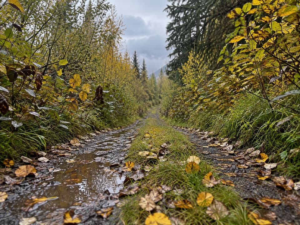 ModerateWagon Road Trail4.5 mi · 2 hr · 3.3 mi awayWalk the old wagon road between McCarthy and Kennecott.
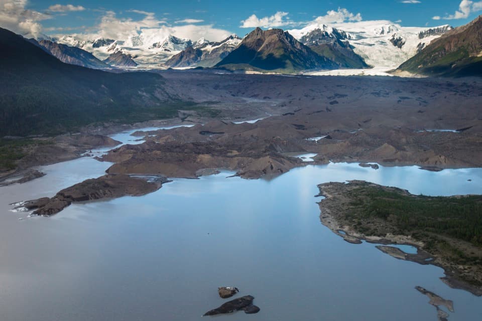 ModerateToe of the Kennicott Glacier Trail3 mi · 2.5 hr · 3.4 mi awayA forest road opens onto a glacier toe and its meltwater lake.
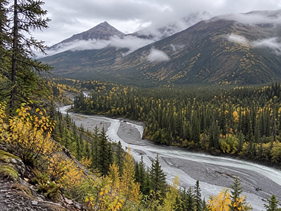 ChallengingMcCarthy Creek Trail13 mi · 7 hr · 3.7 mi awayA long creekbed walk ends at a river you may not cross.
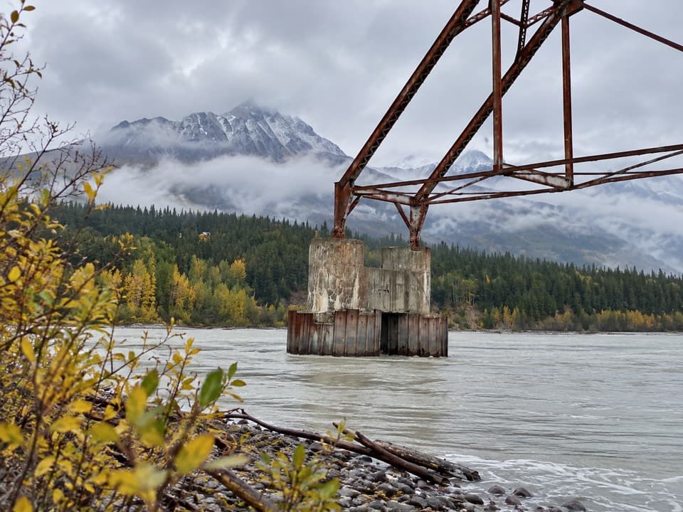 ModerateNizina River Access via Dan Creek Road17.5 mi · 6 hr · 3.9 mi awayLong road walk to a braided river and a broken old bridge.
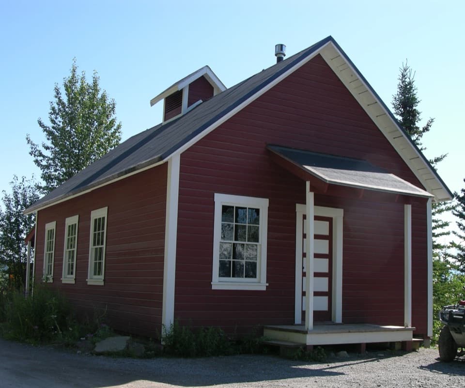 Visitor center · At the trailheadKennecott Visitor CenterRanger guidance inside the schoolhouse that once served Kennecott.
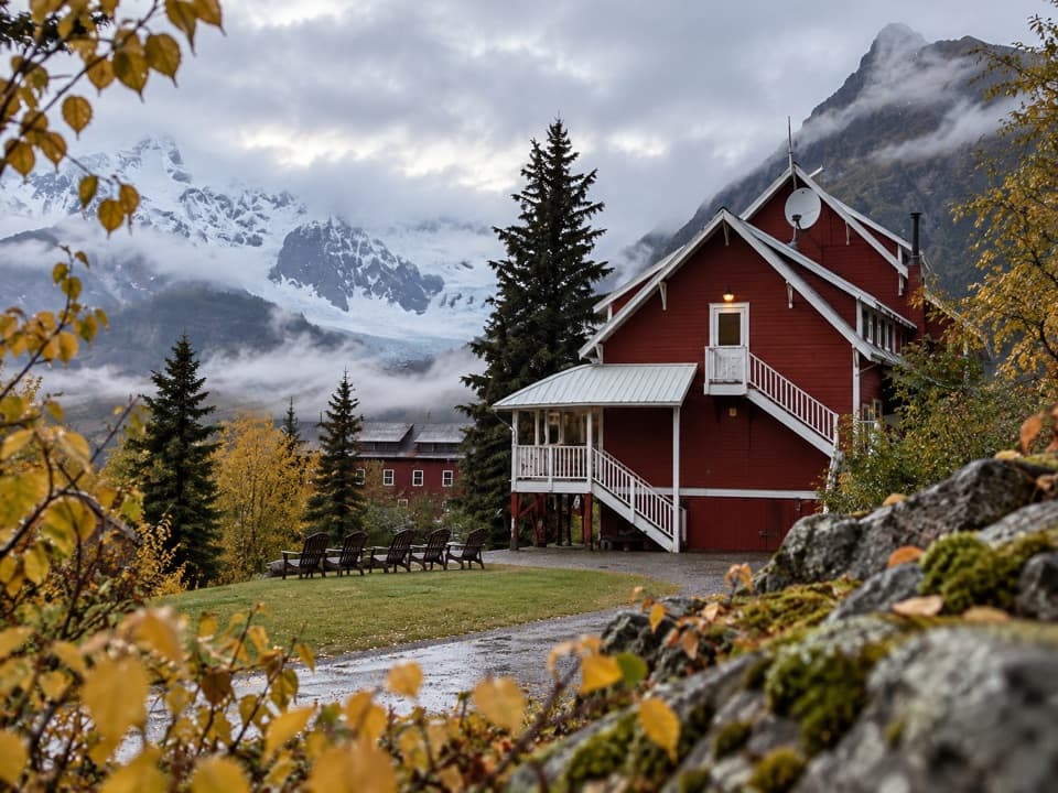 Lodging · 0.1 mi awayKennicott Glacier LodgeStay in Kennicott for glacier views from a 190-foot porch.
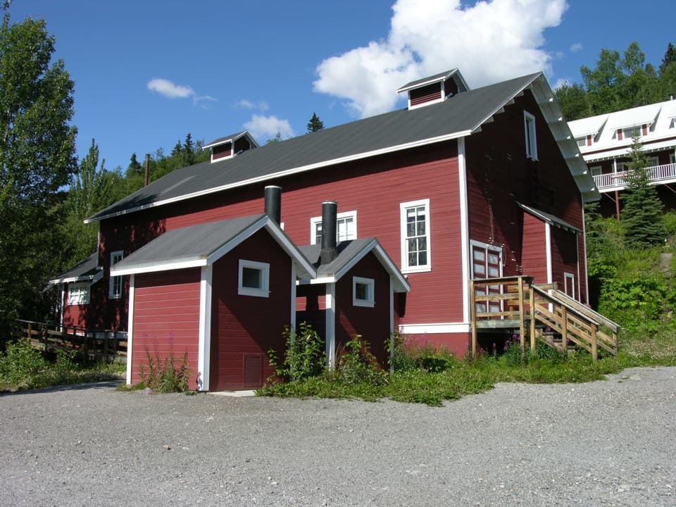 Sight · 0.1 mi awayKennecott Recreation HallA glimpse of the people side of a remote company town.
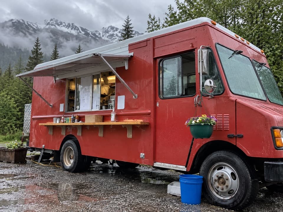 Food · 0.1 mi awayMeatza WagonGlacier views, covered seats, and a signature meatball sub.
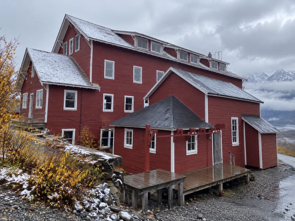 Sight · 0.2 mi awayKennecott Refrigeration PlantA red industrial landmark in Kennecott’s copper town.
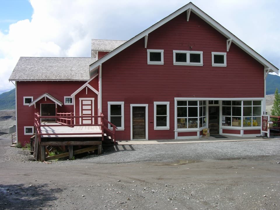 Sight · 0.2 mi awayKennecott General Store, Warehouse & Post OfficeSee Kennecott’s largest exhibit collection inside its former store.
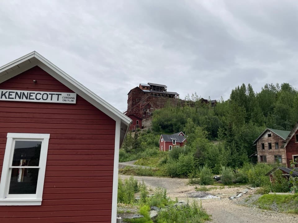 Sight · 0.2 mi awayKennecott Railroad DepotA former rail depot beside Kennecott’s towering copper mill.
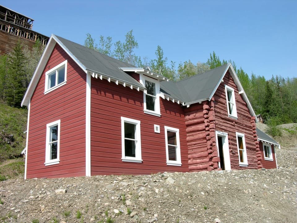 Sight · 0.3 mi awayKennecott General Manager’s OfficeThe company’s nerve center, with a secretary’s story inside.
Parkwolf’s Wrangell-St. Elias ranking

The audio tour guide for the drive, plus offline maps, trails, and wildlife heatmaps for when the signal drops.