Overview
About Kennicott River Bridge
Why stop
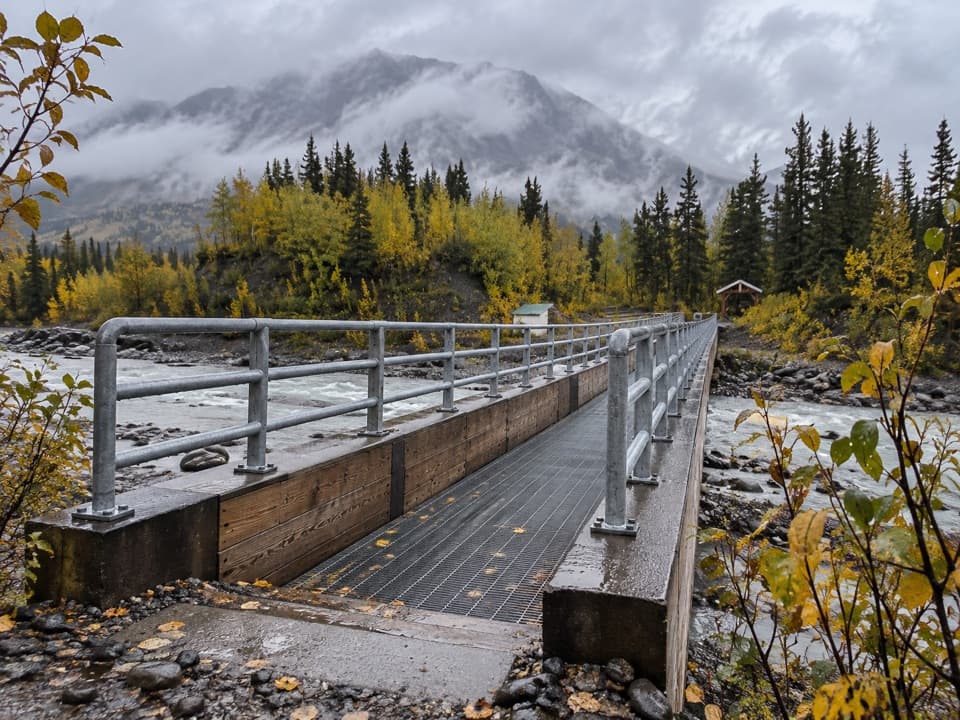
- The river shows through the metal grating as you walk across.
Heads up
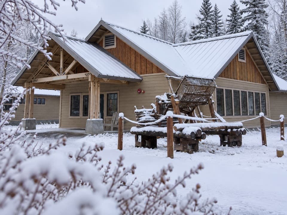
- McCarthy and Kennecott both require continuing beyond the bridge on foot or by shuttle.
Map
Where it is

The highest, rockiest slopes around here are a summer buffet for grizzly bears.
Wrangell-St. Elias Tour Guide
Your drive to Kennicott River Bridge, narrated.
Parkwolf is a GPS audio tour guide for Wrangell-St. Elias National Park. As you drive, it chimes in with what’s ahead: hidden gems, upcoming stops, history, geology, and wildlife, right through your car’s speakers.
See the Wrangell-St. Elias audio tourRecorded for this place
Kennicott River Footbridge and Road-End Stops“You're nearing the Kennicott River footbridge, where visitors park before continuing toward McCarthy.”
Plays as you drive up to Kennicott River Bridge in the Parkwolf Wrangell-St. Elias Tour Guide.
More stories near here in the app
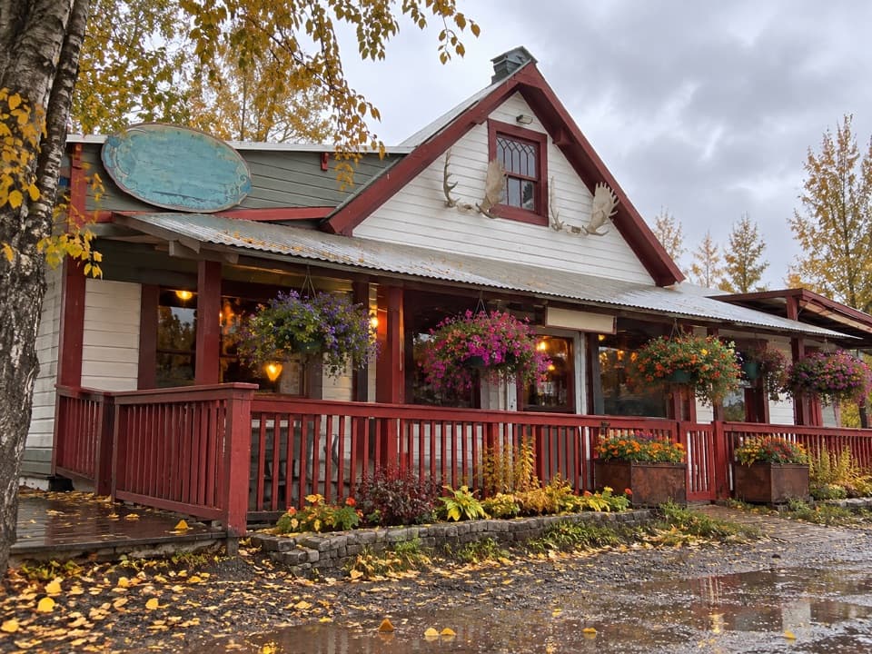
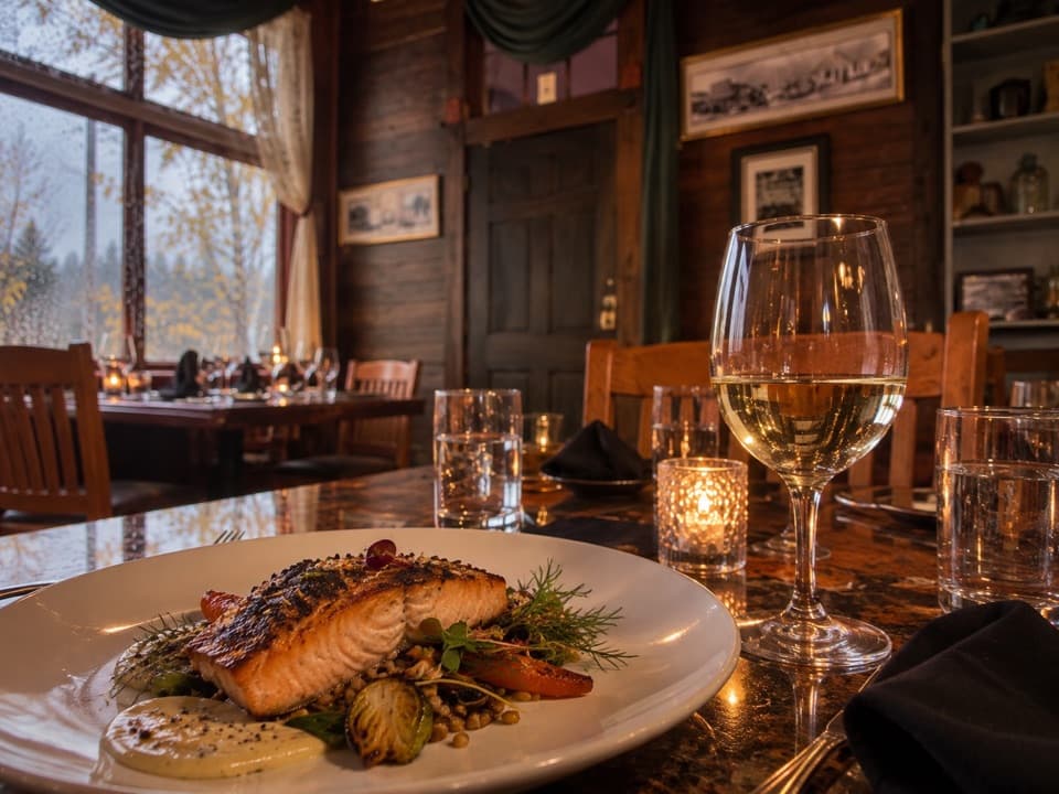
- Eating in McCarthy
- McCarthy-Kennicott Historical Museum
- Kennicott Glacier’s West-Side Walk
- Where Glacier Ice Breaks
- 81 audio storiesacross Wrangell-St. Elias’s roads, triggered by GPS as you drive
- Wildlife heatmapsfor Grizzly Bear, Moose, Humpback Whale, and 13 more
- Works offlinemaps, 28 trails, 62 places, and audio download before you lose signal
- CarPlay readysimple controls built for the drive
“Fantastic app with many points of information… It’s great to just turn on while you’re driving and it gives you an audio tour of the national Park. We love it!!!!”


Guide
More about Kennicott River Bridge
The road-end crossingKennicott River Bridge is the pedestrian crossing over the Kennicott River at the end of…
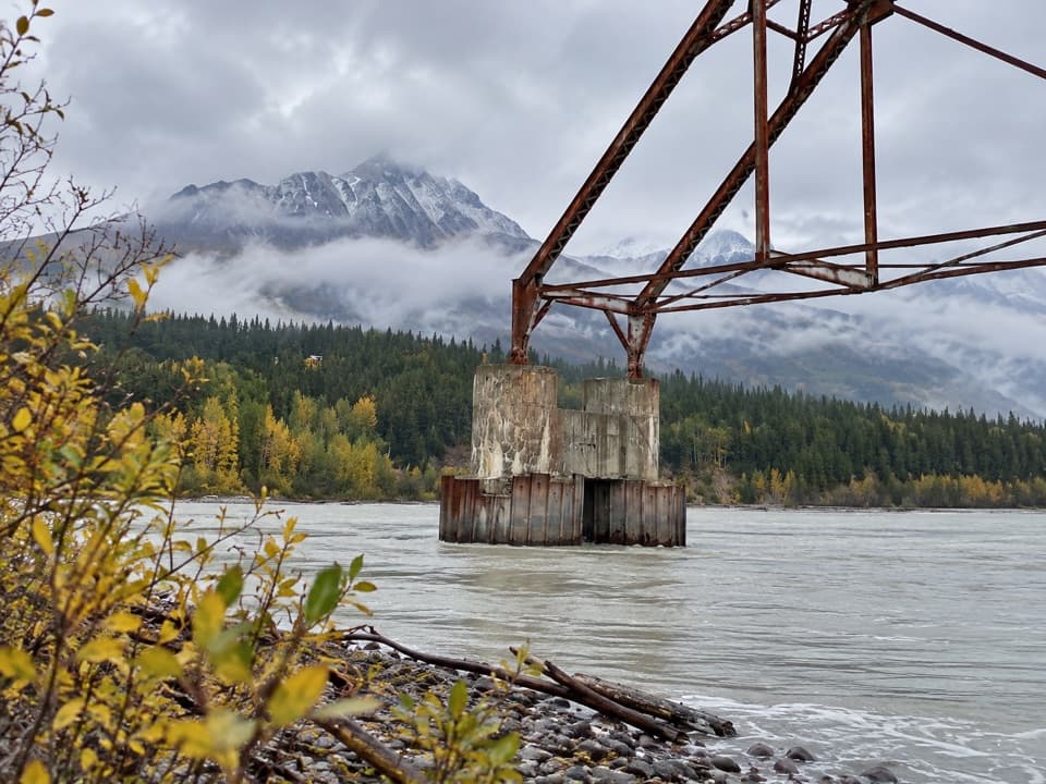
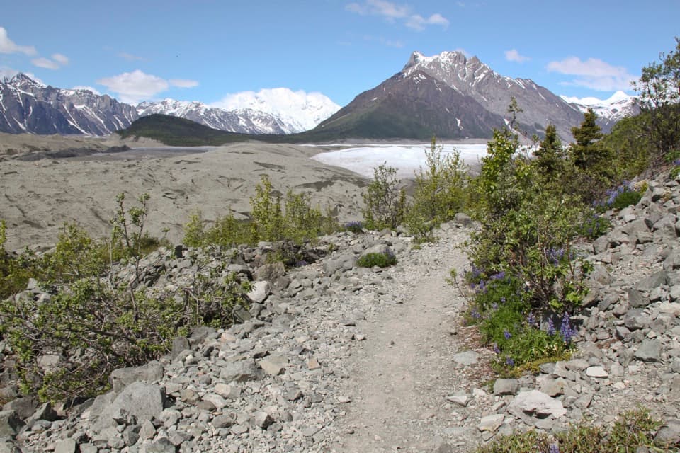
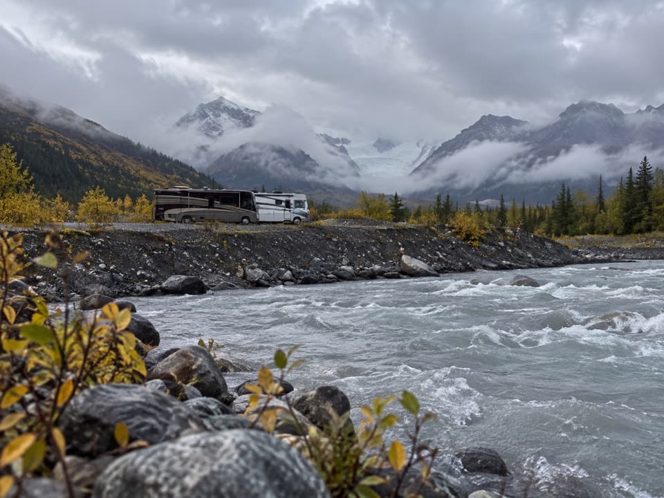
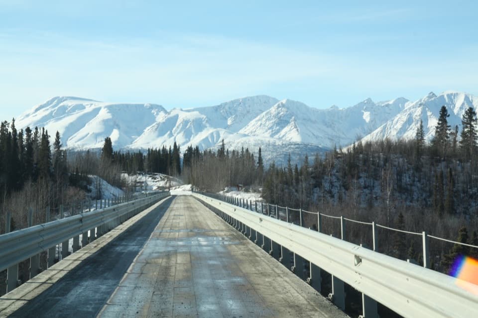
Kennicott River Bridge is the pedestrian crossing over the Kennicott River at the end of McCarthy Road, where visitors continue toward McCarthy and Kennecott on foot, by bicycle, or on a seasonal private shuttle. McCarthy is about half a mile beyond the bridge; Kennecott is five miles farther. This is a remote trip: McCarthy Road is 60 miles of gravel, and the park advises allowing about two hours each way. Fuel up before leaving Chitina, where services become scarce. Shuttle service is seasonal, with summer hours posted at the weather shelter. The area includes both public and private land, so stick to public routes and respect posted signs.
Take a moment on the deckThe bridge's metal grating lets you see the river below as you cross.
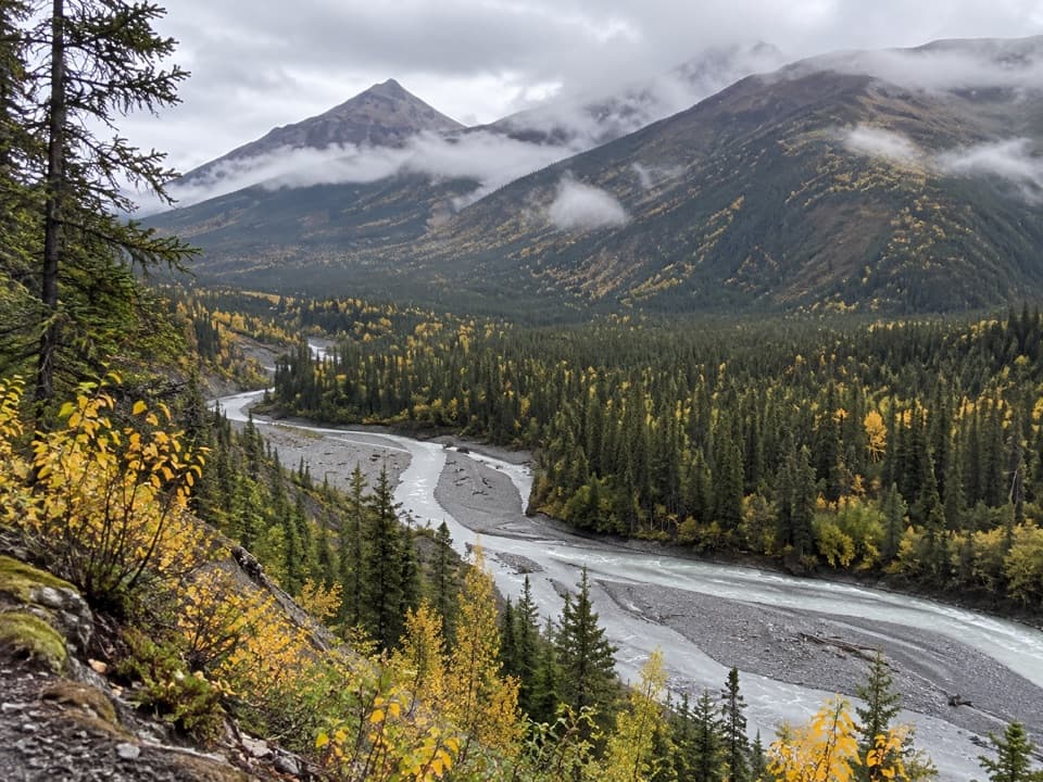
The bridge's metal grating lets you see the river below as you cross. Pause for the view toward the river, trees and mountains, and include a stretch of bridge in a photo so the crossing is part of the scene. This is a short walk and a scenic stop on the way into McCarthy; no separate viewpoint hike is needed.
Before the bridgeThe river used to be crossed in a self-pulled bucket-and-cable tram.
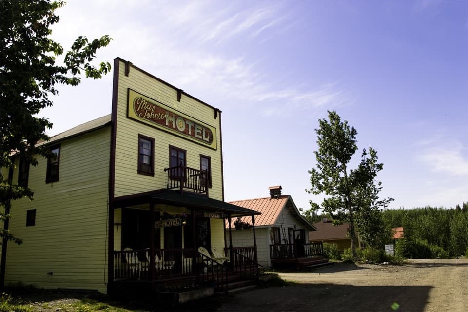
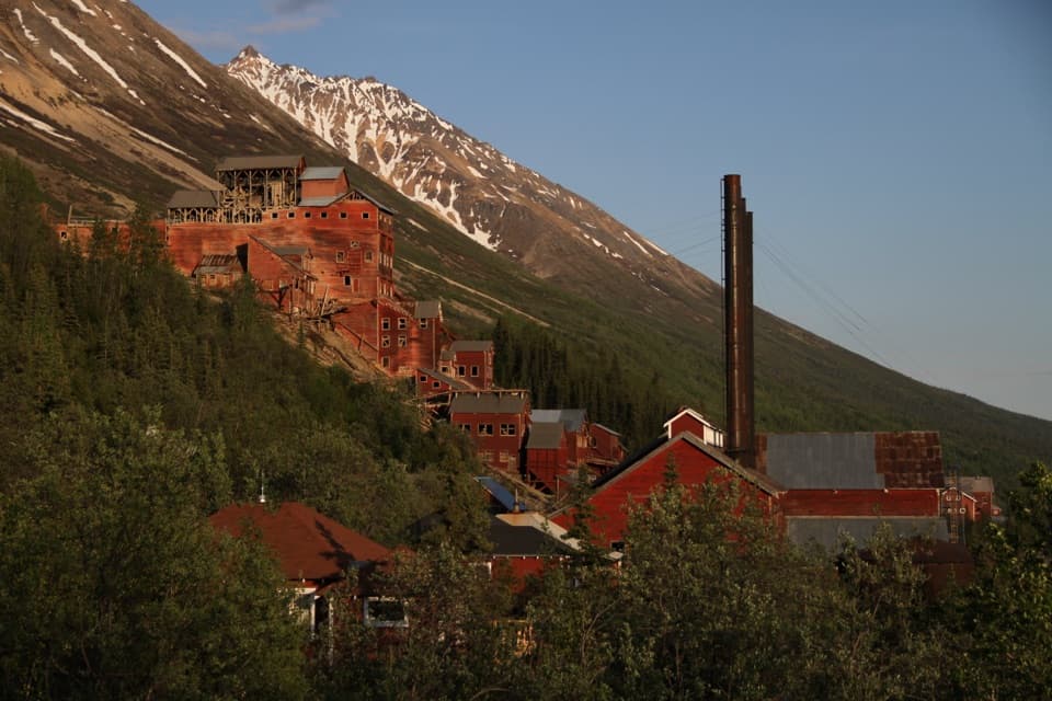
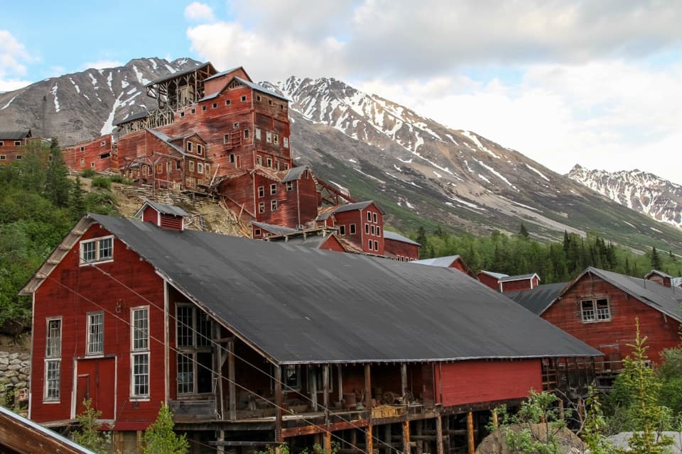
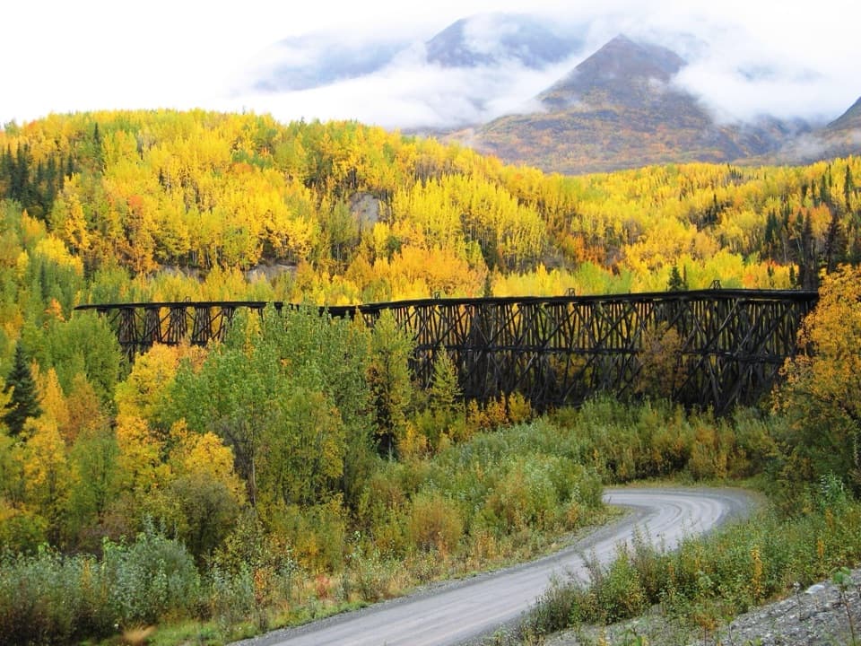
The river used to be crossed in a self-pulled bucket-and-cable tram. McCarthy Road follows the old railway bed built in 1909 to serve the Kennecott copper mines; large-scale mining ended in 1938. McCarthy, homesteaded in 1906 as a supply and recreation stop for the mining district, is still the first community beyond the bridge.
Wildlife
Wildlife in Wrangell-St. Elias
 113 sightingsGrizzly BearMost seen around 9 PMSighting map
 66 sightingsMooseMost seen around 8 PMSighting map
 21 sightingsHumpback WhaleMost seen around 1 PMSighting map
 46 sightingsSteller Sea LionMost seen around 11 AMSighting map
 39 sightingsBlack BearMost seen around 8 PMSighting map
 48 sightingsBald EagleMost seen around 5 PMSighting map
Sighting maps show where each species has been reported across Wrangell-St. Elias. Wildlife moves, so no sighting is guaranteed.