Parking
Day-use parking and vault toilets are available at McCarthy Road Information Station near mile 58.6. Overnight parking and camping are not available at the station.
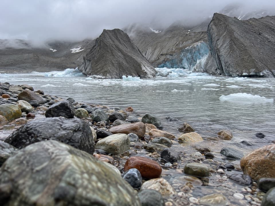
Wrangell-St. Elias National Park, AK
A 2.1-mile out-and-back to Kennicott Glacier’s west side.
Overview
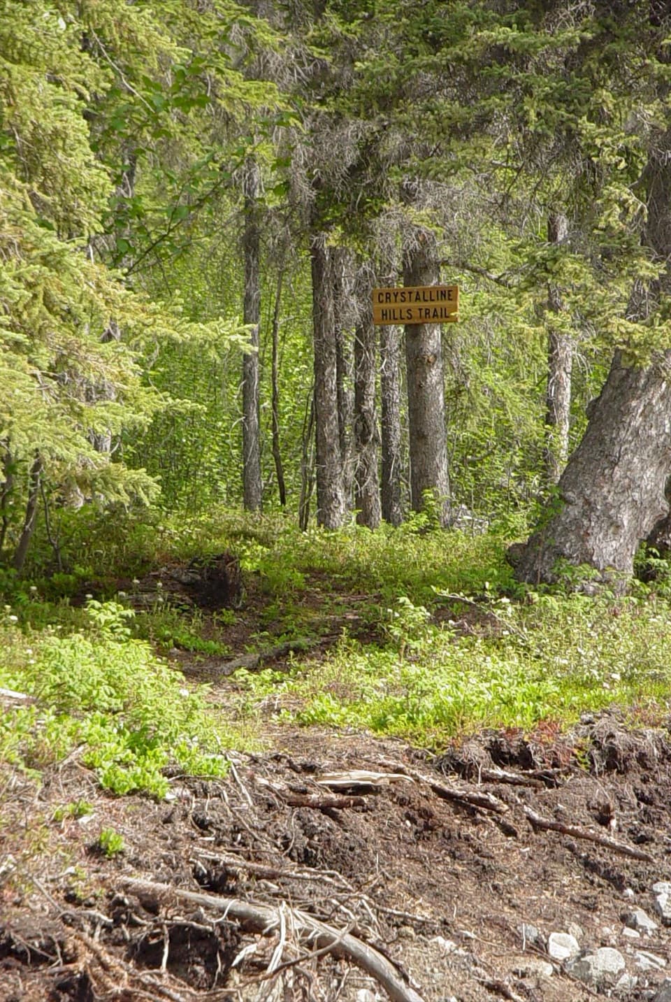
A wooded path through spruce and moss gives way to an open, rocky west-bank shore. At the end, sediment-covered ice rises beyond a gray meltwater pond, with boulders lining the foreground. Go all the way to the shore for the glacier view rather than stopping in the trees.
 Parkwolf’s verdictThe walk and the payoff
Map & elevation
Plan your hike

The highest, rockiest slopes around here are a summer buffet for grizzly bears.
Wrangell-St. Elias Tour Guide
Parkwolf is a GPS audio tour guide for Wrangell-St. Elias National Park. As you drive, it chimes in with what’s ahead: hidden gems, upcoming stops, history, geology, and wildlife, right through your car’s speakers.
See the Wrangell-St. Elias audio tourRecorded for this trailhead
Kennicott Glacier’s West-Side Walk“McCarthy Road Information Station is coming up, with the trail to Kennicott Glacier's west side. Allow about an hour for the just-over-two-mile round trip through spruce woods to a rocky shore and meltwater pond.”
Plays as you drive up to this trailhead in the Parkwolf Wrangell-St. Elias Tour Guide.
More stories near here in the app
“Fantastic app with many points of information… It’s great to just turn on while you’re driving and it gives you an audio tour of the national Park. We love it!!!!”


Trail guide
West Kennecott Glacier Trail is a 2.1-mile out-and-back from McCarthy Road Information Station to the west side of Kennicott Glacier. Budget about an hour; the mapped path is just over a mile each way, and you return the same way. It’s a short glacier-view walk, separate from the Root Glacier Trail that starts at Kennecott.
Use the day-use parking at McCarthy Road Information Station, near mile 58.6; vault toilets and posted information are there. Overnight parking and camping aren’t available at the station. Published trail details are brief: the destination and approximate distance are clearer than the surface and grade, so check the station’s posted information before setting out.
Wildlife
 113 sightingsGrizzly BearMost seen around 9 PMSighting map
 66 sightingsMooseMost seen around 8 PMSighting map
 21 sightingsHumpback WhaleMost seen around 1 PMSighting map
 46 sightingsSteller Sea LionMost seen around 11 AMSighting map
 39 sightingsBlack BearMost seen around 8 PMSighting map
 48 sightingsBald EagleMost seen around 5 PMSighting map
Sighting maps show where each species has been reported across Wrangell-St. Elias. Wildlife moves, so no sighting is guaranteed.
Keep exploring
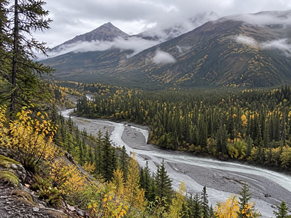 ChallengingMcCarthy Creek Trail13 mi · 7 hr · 1.4 mi awayA long creekbed walk ends at a river you may not cross.
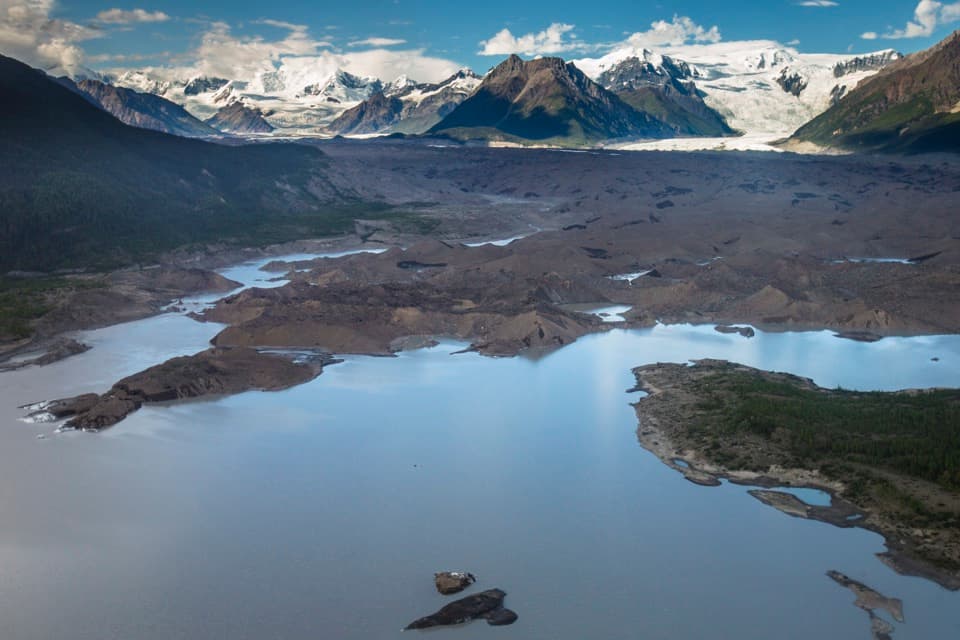 ModerateToe of the Kennicott Glacier Trail3 mi · 2.5 hr · 1.4 mi awayA forest road opens onto a glacier toe and its meltwater lake.
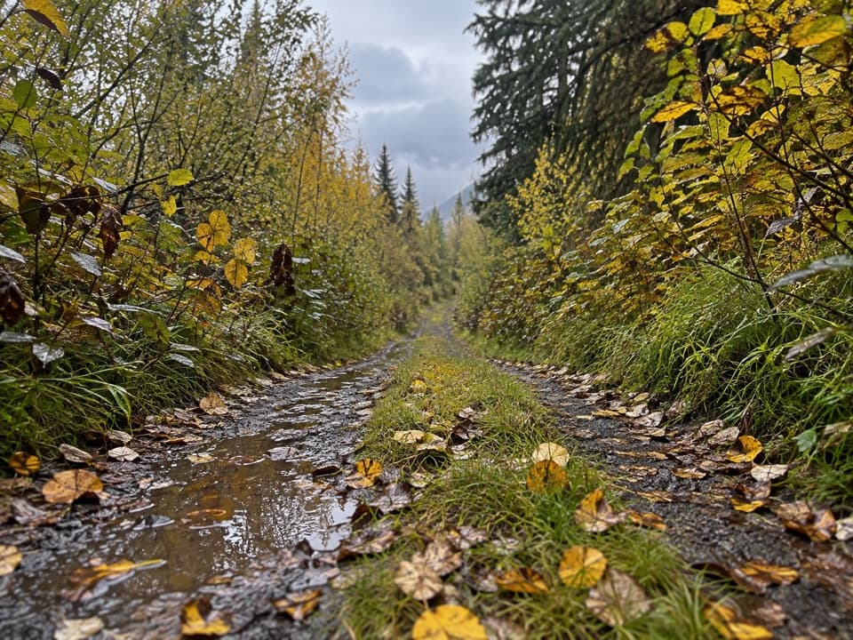 ModerateWagon Road Trail4.5 mi · 2 hr · 1.6 mi awayWalk the old wagon road between McCarthy and Kennecott.
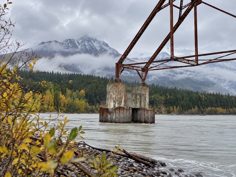 ModerateNizina River Access via Dan Creek Road17.5 mi · 6 hr · 1.8 mi awayLong road walk to a braided river and a broken old bridge.
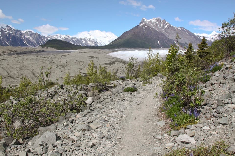 ModerateErie Mine Trail8 mi · 4.5 hr · 4 mi awayGlacier views and old mining traces on a long moraine walk.
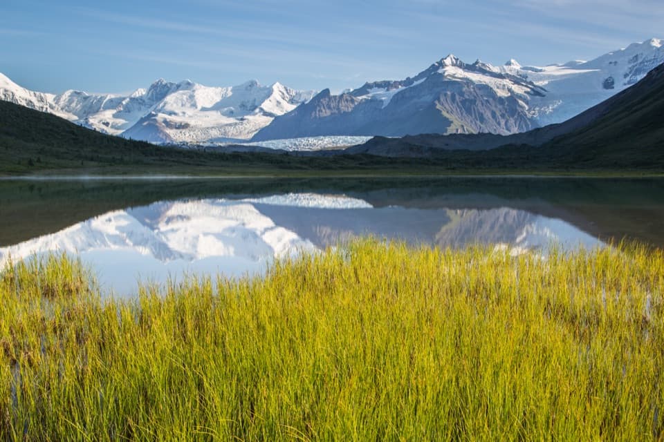 ChallengingDonoho Basin Trail14.4 mi · 2 days · 4 mi awayGlacier travel opens into a remote basin of alpine lakes.ModerateRoot Glacier Trail4.5 mi · 3.5 hr · 4 mi awayA 4.5-mile round trip to Root Glacier’s moraine edge.
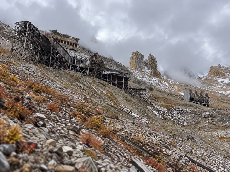 ChallengingBonanza Mine Trail9 mi · 7 hr · 4.3 mi awayMine ruins and glacier panoramas cap a 9-mile, 3,800-foot climb.
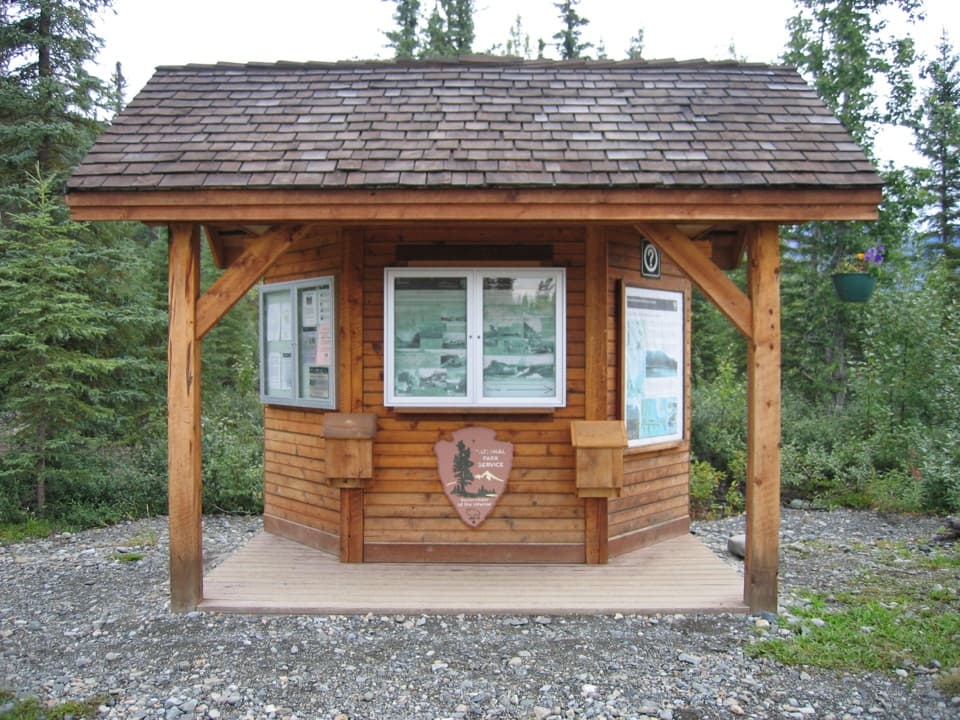 Scenic pullout · At the trailheadMcCarthy Road Information StationA roadside pause with vault toilets and a trail toward Kennicott Glacier.
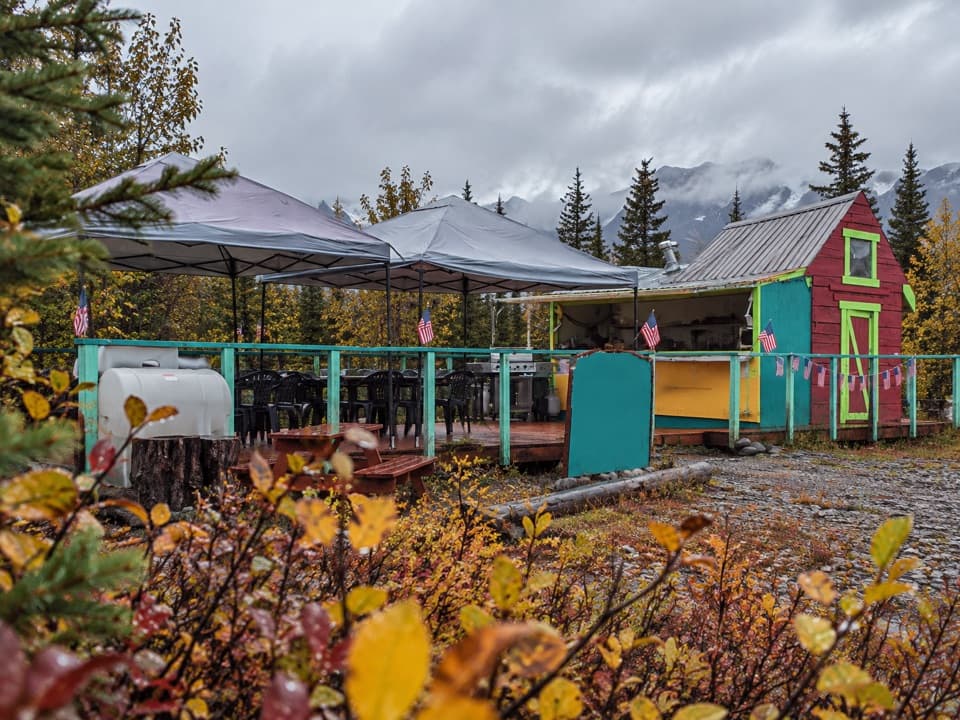 Campground · 0.2 mi awayGlacier View Campground & GrillA dry McCarthy campground with burgers at the end of the road.
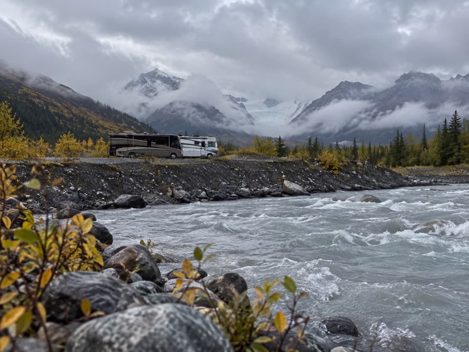 Campground · 0.7 mi awayBase Camp KennicottA rocky, basic camp with glacier views beside the McCarthy footbridge.
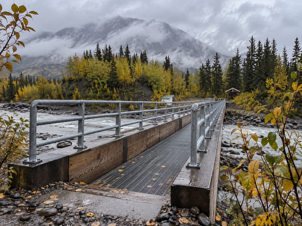 Sight · 0.8 mi awayKennicott River BridgeA grated bridge and river view mark McCarthy Road's far end.
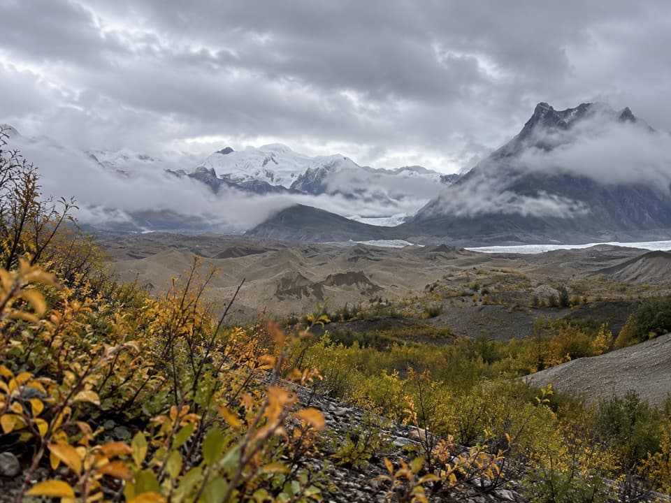 Sight · 0.9 mi awayKennicott Glacier West-Side ViewA mile-long trail reaches Kennicott Glacier's rock-covered west side.
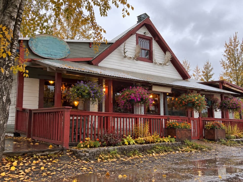 Restaurant · 1.4 mi awayGolden SaloonBuffalo burgers, local yak and a lively McCarthy gathering spot.
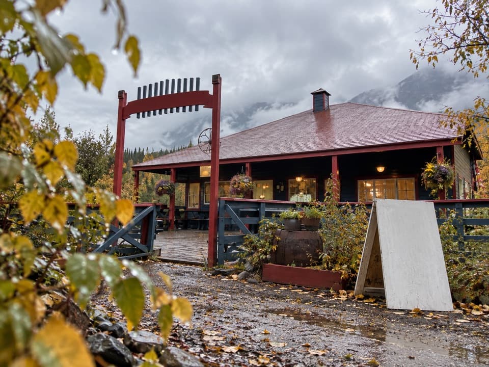 Store · 1.4 mi awayMcCarthy Mercantile & CafeA handy grocery and cafe stop in the McCarthy–Kennecott area.
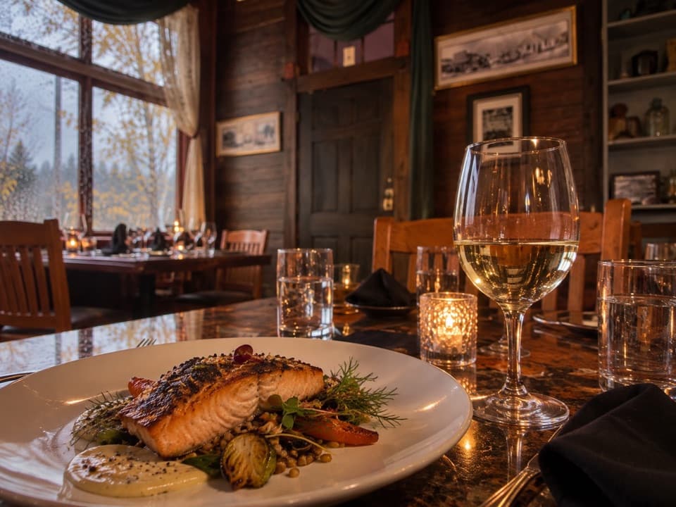 Restaurant · 1.4 mi awaySalmon & Bear RestaurantA ten-table dining room with a thoughtful Alaska-focused menu.
Parkwolf’s Wrangell-St. Elias ranking
The audio tour guide for the drive, plus offline maps, trails, and wildlife heatmaps for when the signal drops.