Parking
Park at Kennicott River Bridge and use a private shuttle to McCarthy for the start; private shuttles also connect McCarthy and Kennecott. Vehicles do not reach Kennecott Mill Town. Parking fee and capacity details were not found.
Wrangell-St. Elias National Park, AK
Walk the old wagon road between McCarthy and Kennecott.
Overview
Map & elevation
Plan your hike

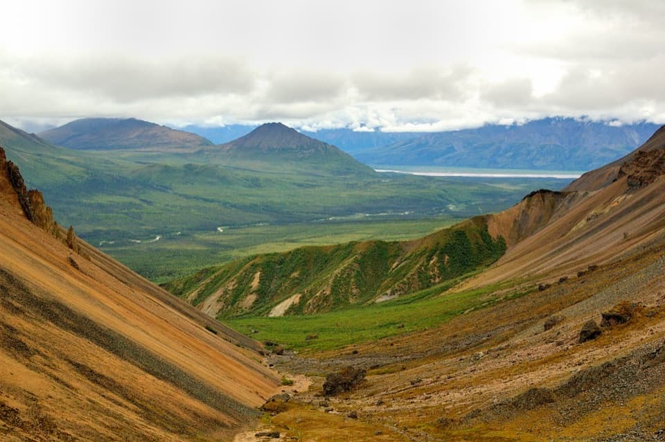
The highest, rockiest slopes around here are a summer buffet for grizzly bears.
Wrangell-St. Elias Tour Guide
Parkwolf is a GPS audio tour guide for Wrangell-St. Elias National Park. As you drive, it chimes in with what’s ahead: hidden gems, upcoming stops, history, geology, and wildlife, right through your car’s speakers.
See the Wrangell-St. Elias audio tourRecorded for this trailhead
McCarthy-Kennicott Historical Museum“McCarthy's historical museum is coming up, in the red former railroad depot. If you're curious about life here beyond the copper works, this is a good small stop.”
Plays as you drive up to this trailhead in the Parkwolf Wrangell-St. Elias Tour Guide.
More stories near here in the app
“Fantastic app with many points of information… It’s great to just turn on while you’re driving and it gives you an audio tour of the national Park. We love it!!!!”


Trail guide
The Wagon Road is a 4.5-mile, one-way walk from McCarthy to Kennecott Mill Town on the old town-to-town road. It climbs gradually through forest and takes about 1–3 hours one way. Bikes are allowed, too. This is a point-to-point hike, so plan a ride back before you start.
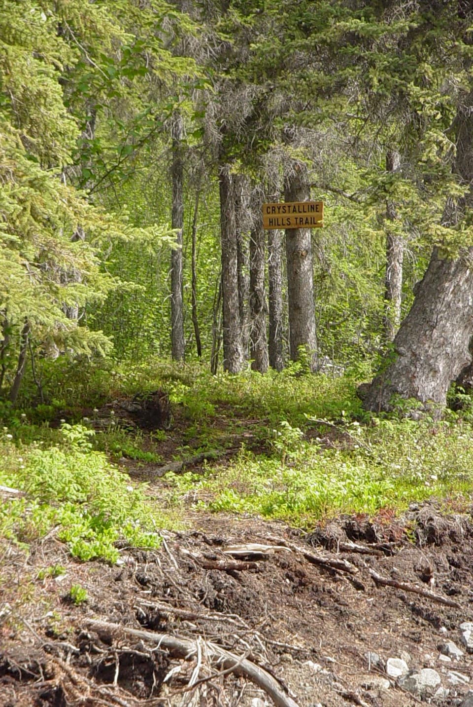
From near the McCarthy Museum, follow the main road north about 1,000 feet and turn left just past the red-and-white Tony Zak Community Center. There are few signs, and the route crosses private property; stay on the Wagon Road. Visitors park at Kennicott River Bridge, then use private shuttles to get to McCarthy and between the towns. Vehicles don’t reach Kennecott Mill Town, so arrange your return before setting out.
At about three-quarters of a mile, a left fork leads toward the toe of Kennicott Glacier. That’s a separate 1.5-mile, one-way route from McCarthy to the glacier’s terminal moraine and meltwater lake. Continue straight on the Wagon Road to reach Kennecott.
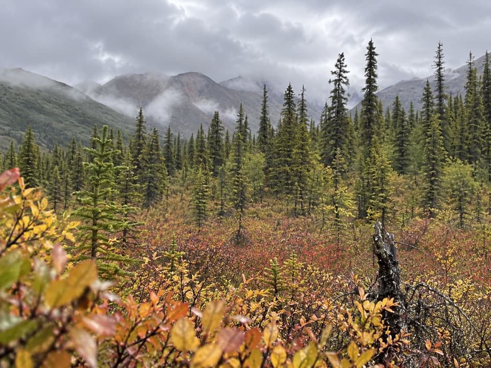
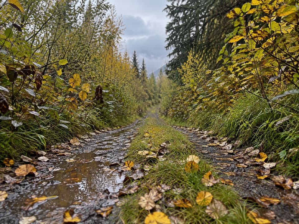
Expect a gradual forest climb with some mountain views. The narrow track is rocky and bumpy, and wet weather can leave large puddles. Bikes share the route, so watch for other users, especially where the tread narrows.
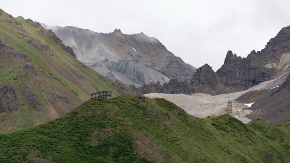
The Wagon Road served as a walking and wagon route while the railroad was running. Near Kennecott, the trail passes the historic cemetery about a mile from town. Kennecott’s copper operation ran from 1911 to 1938; at its peak, about 300 people lived in the mill town and 200–300 worked at the mines.
Dogs are allowed on park trails on a leash no longer than six feet. Keep them leashed in the Kennecott Mines National Historic Landmark area, too.
Wildlife
 113 sightingsGrizzly BearMost seen around 9 PMSighting map
 66 sightingsMooseMost seen around 8 PMSighting map
 21 sightingsHumpback WhaleMost seen around 1 PMSighting map
 46 sightingsSteller Sea LionMost seen around 11 AMSighting map
 39 sightingsBlack BearMost seen around 8 PMSighting map
 48 sightingsBald EagleMost seen around 5 PMSighting map
Sighting maps show where each species has been reported across Wrangell-St. Elias. Wildlife moves, so no sighting is guaranteed.
Keep exploring
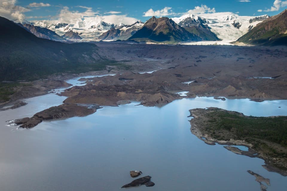 ModerateToe of the Kennicott Glacier Trail3 mi · 2.5 hr · 0.2 mi awayA forest road opens onto a glacier toe and its meltwater lake.
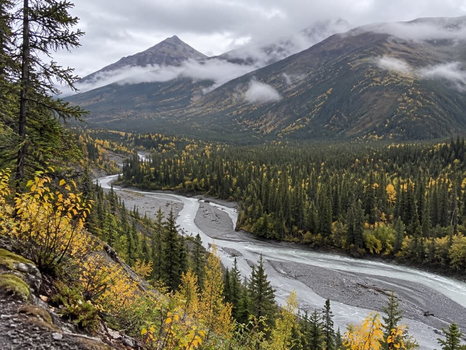 ChallengingMcCarthy Creek Trail13 mi · 7 hr · 0.4 mi awayA long creekbed walk ends at a river you may not cross.
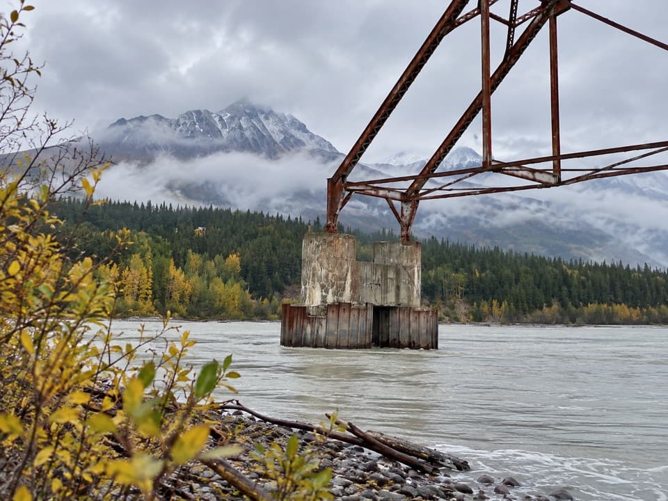 ModerateNizina River Access via Dan Creek Road17.5 mi · 6 hr · 0.7 mi awayLong road walk to a braided river and a broken old bridge.
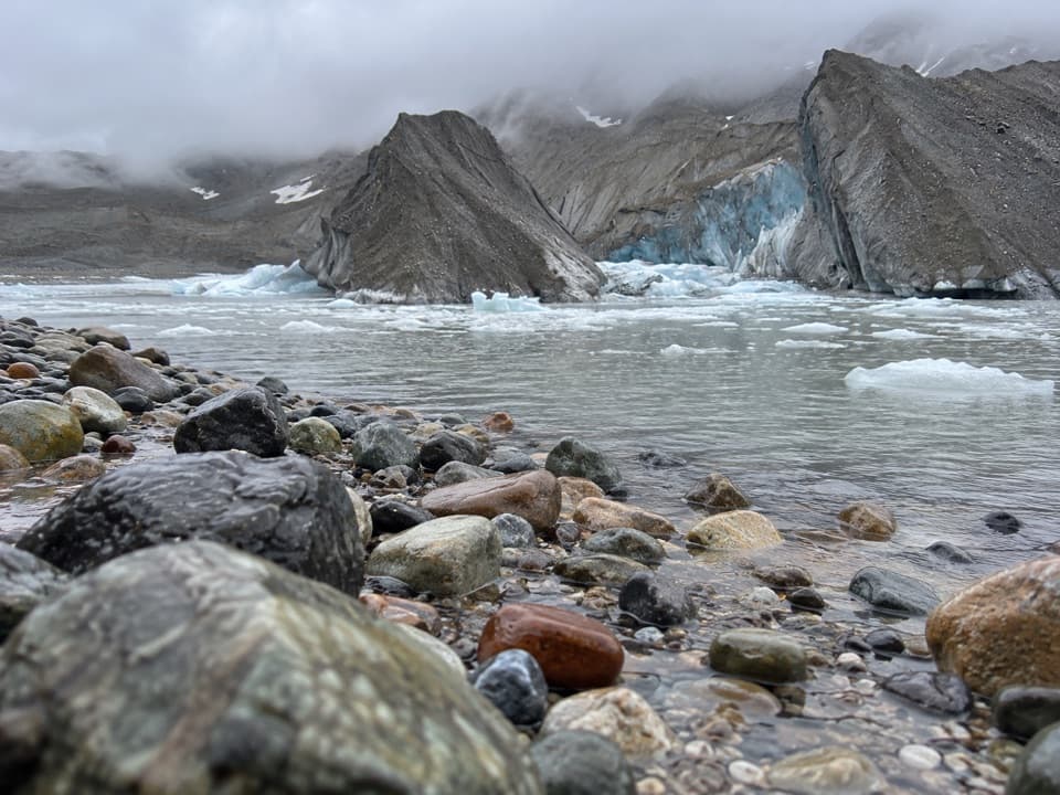 EasyWest Kennecott Glacier Trail2.1 mi · 1 hr · 1.6 mi awayA 2.1-mile out-and-back to Kennicott Glacier’s west side.
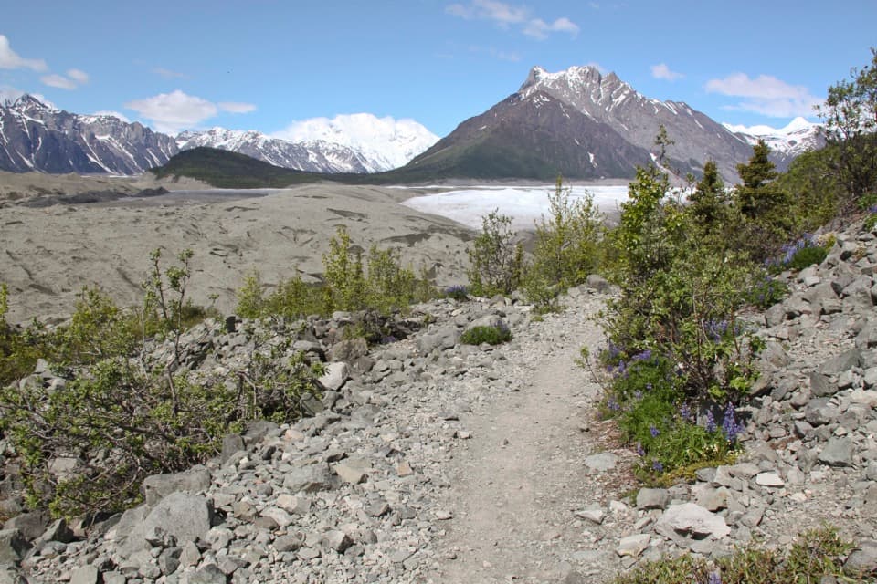 ModerateErie Mine Trail8 mi · 4.5 hr · 3.3 mi awayGlacier views and old mining traces on a long moraine walk.
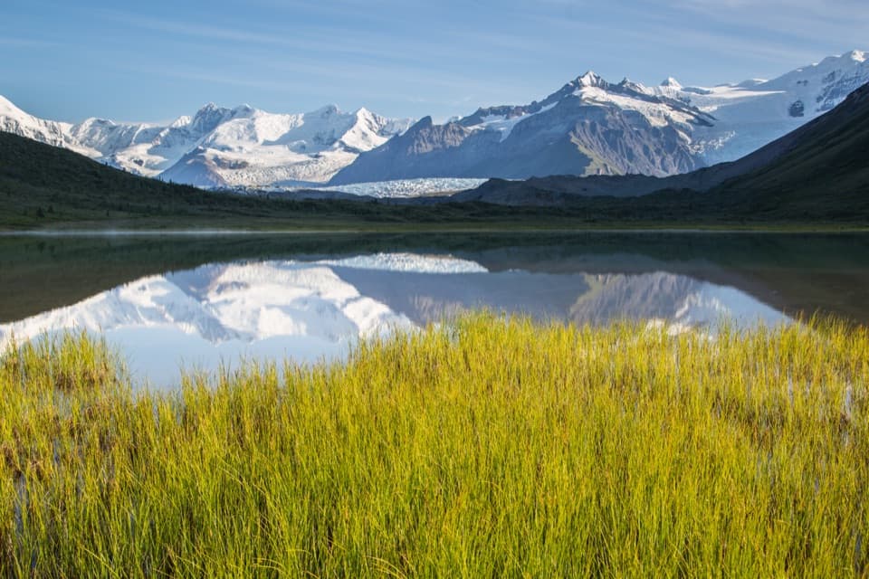 ChallengingDonoho Basin Trail14.4 mi · 2 days · 3.3 mi awayGlacier travel opens into a remote basin of alpine lakes.ModerateRoot Glacier Trail4.5 mi · 3.5 hr · 3.3 mi awayA 4.5-mile round trip to Root Glacier’s moraine edge.
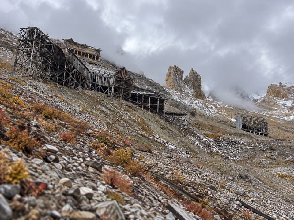 ChallengingBonanza Mine Trail9 mi · 7 hr · 3.6 mi awayMine ruins and glacier panoramas cap a 9-mile, 3,800-foot climb.
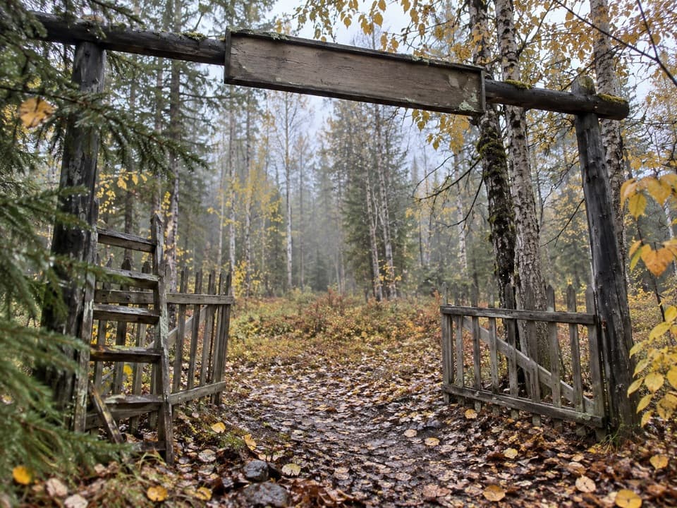 Sight · 0.1 mi awayMcCarthy CemeteryRead the headstones for a quieter piece of McCarthy's past.
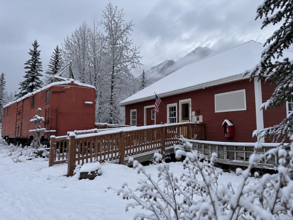 Sight · 0.2 mi awayMcCarthy-Kennicott Historical MuseumArtifacts, a town model and mine diorama make the copper story concrete.
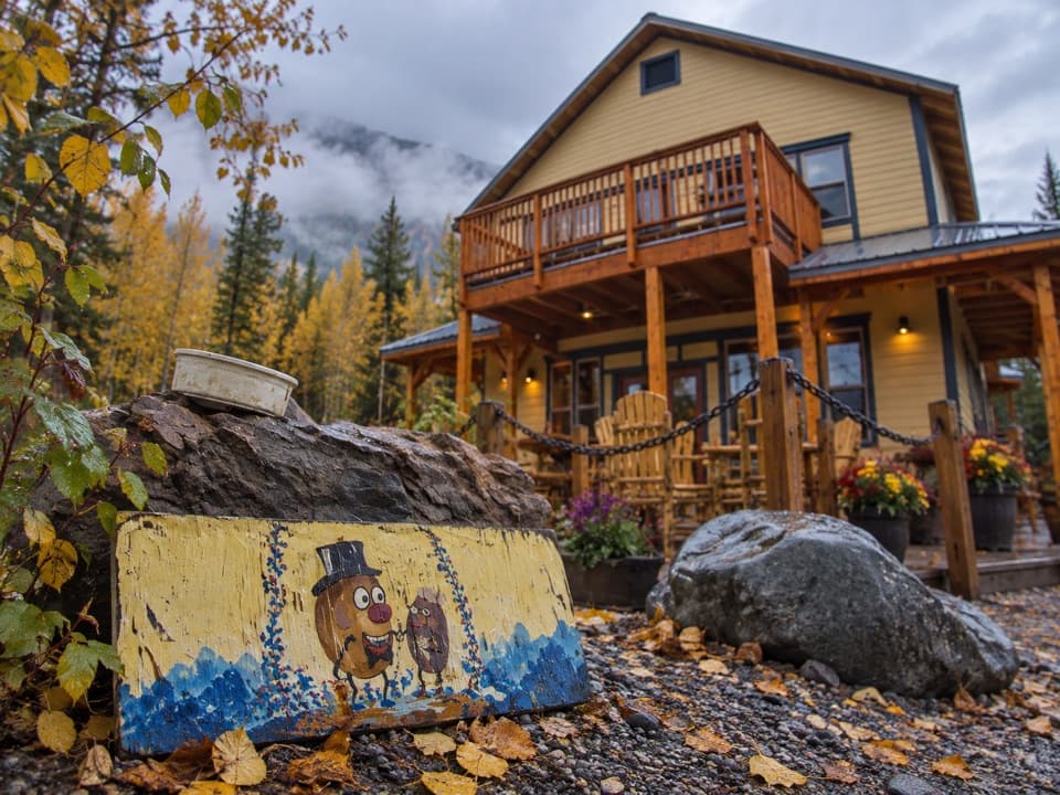 Restaurant · 0.2 mi awayThe PotatoHand-cut curly fries and a burrito worth the detour.
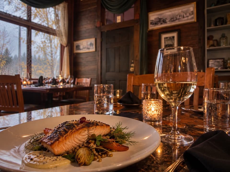 Restaurant · 0.3 mi awaySalmon & Bear RestaurantA ten-table dining room with a thoughtful Alaska-focused menu.
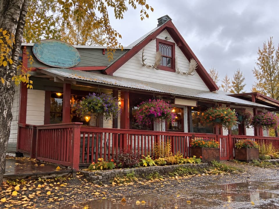 Restaurant · 0.3 mi awayGolden SaloonBuffalo burgers, local yak and a lively McCarthy gathering spot.
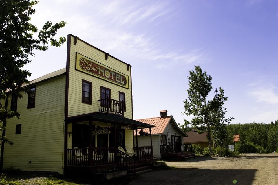 Lodging · 0.3 mi awayMa Johnson’s Historical HotelSleep in a restored McCarthy boarding house.
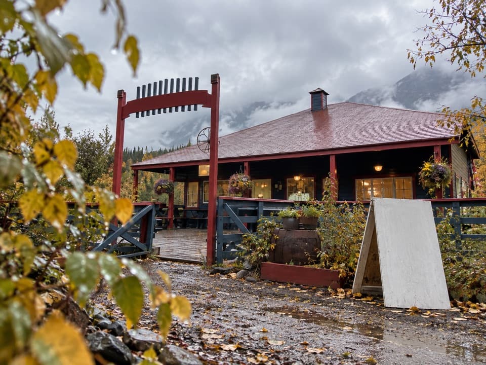 Store · 0.4 mi awayMcCarthy Mercantile & CafeA handy grocery and cafe stop in the McCarthy–Kennecott area.
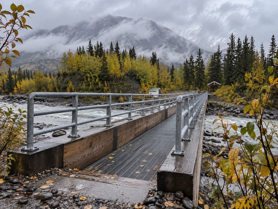 Sight · 0.9 mi awayKennicott River BridgeA grated bridge and river view mark McCarthy Road's far end.
Parkwolf’s Wrangell-St. Elias ranking

The audio tour guide for the drive, plus offline maps, trails, and wildlife heatmaps for when the signal drops.