Toe of the Kennicott Glacier Trail in Wrangell-St. Elias National Park

#8 of 28 trails in Wrangell-St. Elias

Wrangell-St. Elias National Park, AK

Toe of the Kennicott Glacier Trail

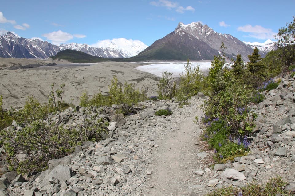
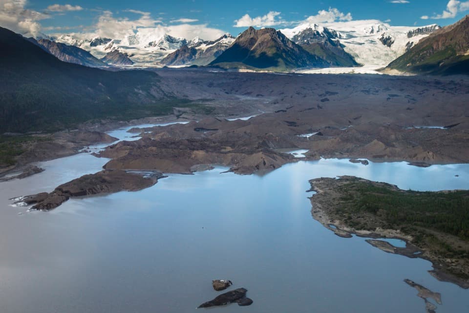
A forest road opens onto a glacier toe and its meltwater lake.

Photo: NPS / Jacob W. Frank, public domain, via Wikimedia Commons

Length
3mi
Time
2.5hr
Elev. change
102ft
Difficulty
Moderate
  • Dogs allowed
  • High point 1,493 ft

Hear the audio tour

McCarthy-Kennicott Historical Museum

Overview

About Toe of the Kennicott Glacier Trail

Why go

  • Reaches an open glacier toe and meltwater lake beneath a broad mountain skyline.

Heads up

  • Sparse signs and private-property roads make the left turn easy to miss.
  • Glacial silt near the melt pools can be slippery even when it looks dry.

Map & elevation

The route

Loading the Wrangell-St. Elias map
Full map
Elevation1,391–1,493 ft
TrailheadMcCarthy Museum / Wagon Road access61.43481, -142.92102
Keep this map with you offline in the Parkwolf app

Plan your hike

Before you go

Parking

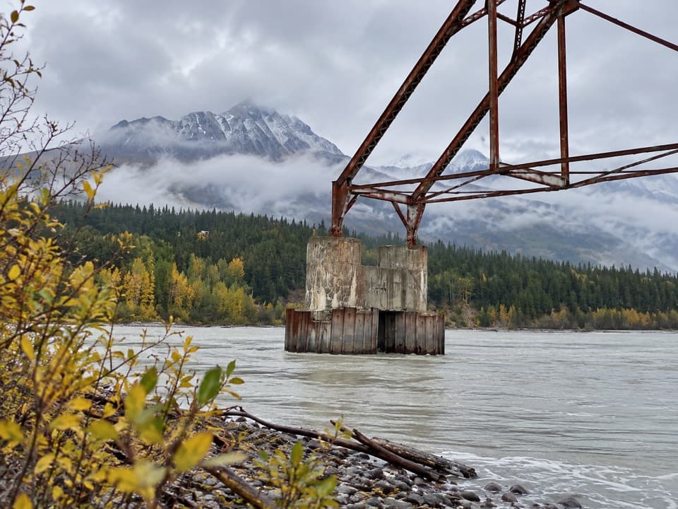
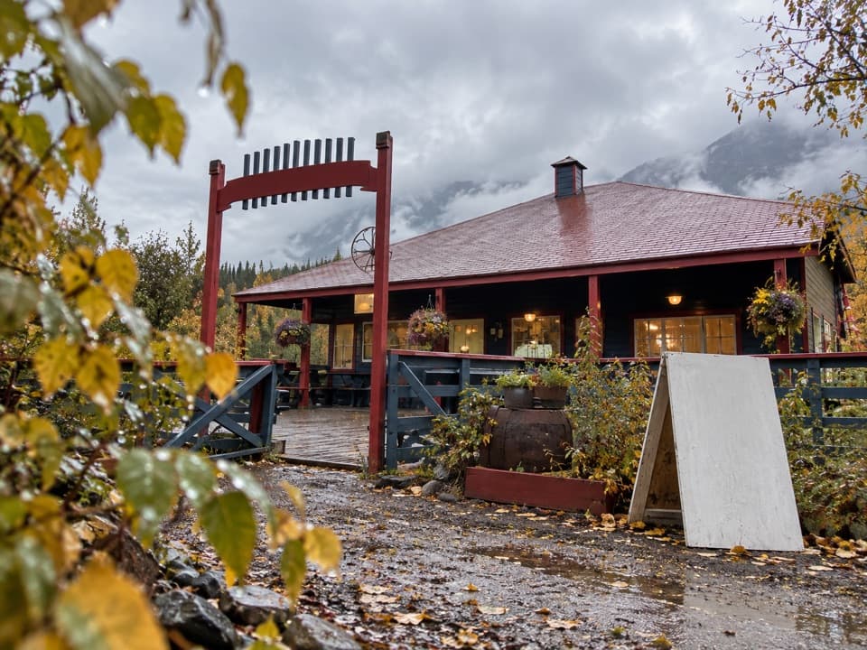
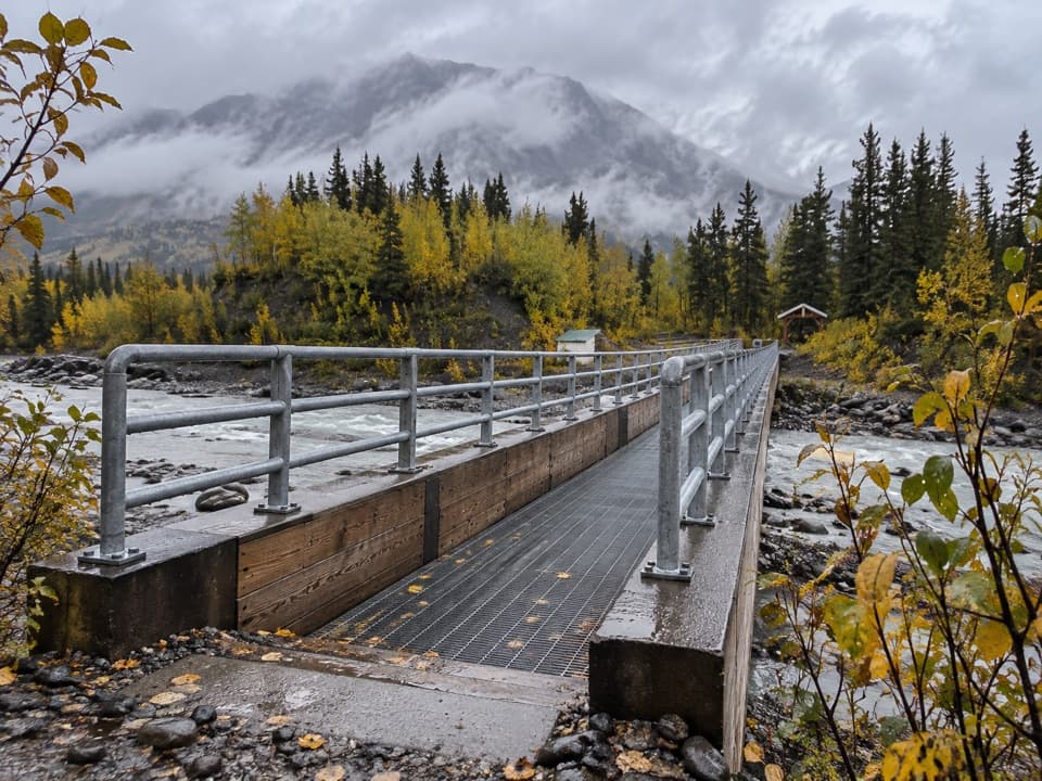
The walk starts at the McCarthy Museum. Use one of the private parking areas by the Kennicott River footbridge (fee); McCarthy is about a half mile east of the bridge. Walk to the museum or use a summer shuttle from the east side of the bridge. There is no public vehicle access to Kennecott Mill Town.

Safety

Stay on the access road and trail through private-property sections; signs are sparse. Near the toe, fine glacial silt can be slippery and melt pools are extremely cold. Bears are numerous here, so keep food in bear-resistant containers.

A park ranger sits on a dash-mounted phone, talking, as Parkwolf’s Tour Guide plays “Army Cutworm Moths: A Grizzly Bear Buffet” on Grand Loop Road below Dunraven Pass in Yellowstone
Parkwolf Tour GuideThe highest, rockiest slopes around here are a summer buffet for grizzly bears.

Wrangell-St. Elias Tour Guide

Your drive to Toe of the Kennicott Glacier Trail, narrated.

Parkwolf is a GPS audio tour guide for Wrangell-St. Elias National Park. As you drive, it chimes in with what’s ahead: hidden gems, upcoming stops, history, geology, and wildlife, right through your car’s speakers.

See the Wrangell-St. Elias audio tour

Recorded for this trailhead

McCarthy-Kennicott Historical Museum
0:00 / 0:34
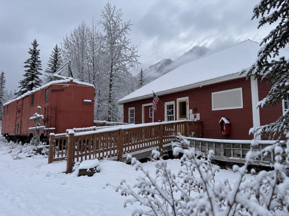
“McCarthy's historical museum is coming up, in the red former railroad depot. If you're curious about life here beyond the copper works, this is a good small stop.”

Plays as you drive up to this trailhead in the Parkwolf Wrangell-St. Elias Tour Guide.

More stories near here in the app

  • Eating in McCarthy
  • Kennicott River Footbridge and Road-End Stops
  • Kennicott Glacier’s West-Side Walk
  • Eight Cents for Medical Care
  • 81 audio storiesacross Wrangell-St. Elias’s roads, triggered by GPS as you drive
  • Wildlife heatmapsfor Grizzly Bear, Moose, Humpback Whale, and 13 more
  • Works offlinemaps, 28 trails, 62 places, and audio download before you lose signal
  • CarPlay readysimple controls built for the drive
★★★★★
“Fantastic app with many points of information… It’s great to just turn on while you’re driving and it gives you an audio tour of the national Park. We love it!!!!”
JMJamesApp Store review
Download Parkwolf on the App StoreGet Parkwolf on Google Play

4.7 from 8,600+ ratings

Trail guide

Hiking Toe of the Kennicott Glacier Trail

Walk to the glacier's toeThe Toe of the Kennicott Glacier Trail is a 3-mile out-and-back from the McCarthy Museum, with…

The Toe of the Kennicott Glacier Trail is a 3-mile out-and-back from the McCarthy Museum, with the glacier and its meltwater lake at the end. Follow the road north, take the left turn onto the Wagon Road, then follow it to the fork for the glacier. The measured distance is 1.5 miles each way. Allow about 2–3 hours, including time to look around at the moraine.

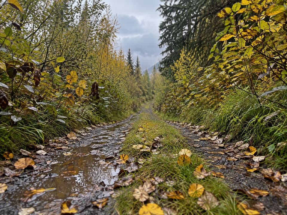
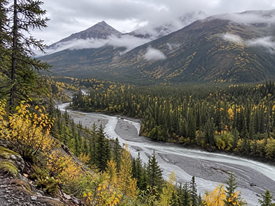
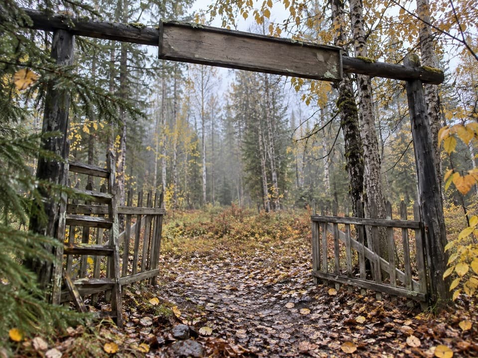
Through the forestThe approach climbs gradually through forest, with occasional mountain views.

The approach climbs gradually through forest, with occasional mountain views. After about three-quarters of a mile on the Wagon Road, take the left fork toward the glacier. The road is narrow and rocky and can hold large puddles. Signs are sparse, and the route passes private property, so stay on the road and trail rather than taking side tracks.

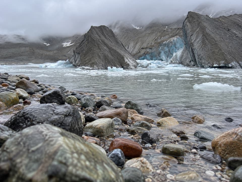
At the terminal moraineThe trail reaches open, treeless ground beside the Kennicott Glacier's terminal moraine and an…

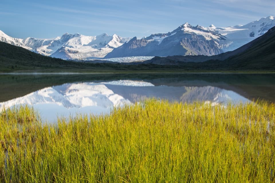
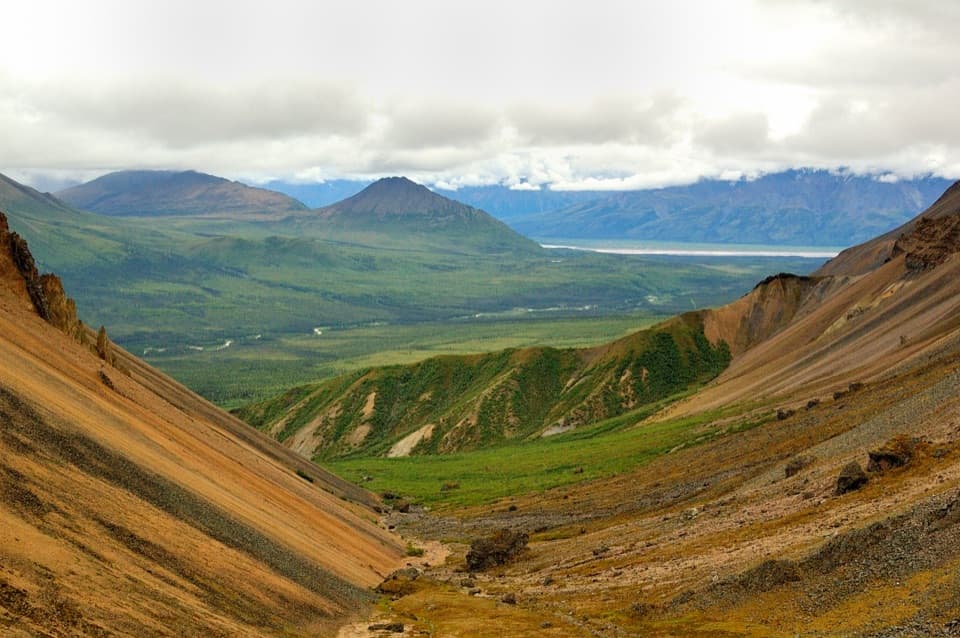
The trail reaches open, treeless ground beside the Kennicott Glacier's terminal moraine and an expanding meltwater lake. Look across the glacier toward Mt. Blackburn, Mt. Rime, Atna and Parka Peaks, Gates Glacier and Stairway Icefall. The marked 3 miles end at the moraine and lake; any extra wandering along the glacier adds distance.

Watch your footing and foodFine glacial silt can look dry while being very slippery, and the melt pools are extremely cold.

Fine glacial silt can look dry while being very slippery, and the melt pools are extremely cold. Bears are numerous in this area: store all food in bear-resistant containers; a storage box is available at the primitive camping area near the toe. Dogs are allowed on trails but must stay on a leash no longer than six feet.

Wildlife

Wildlife in Wrangell-St. Elias

All Wrangell-St. Elias wildlife maps

Sighting maps show where each species has been reported across Wrangell-St. Elias. Wildlife moves, so no sighting is guaranteed.

Keep exploring

Near Toe of the Kennicott Glacier Trail

See it all on the map

Trails that start nearby

Places near the trailhead

Parkwolf’s Wrangell-St. Elias ranking

Top-rated trails in Wrangell-St. Elias

All 28 trails
  1. 1Root Glacier TrailModerate · 4.5 mi
  2. 2Bonanza Mine TrailChallenging · 9 mi
  3. 3Skookum Volcano TrailModerate · 5 mi
  4. 4Jumbo Mine TrailChallenging · 10 mi
  5. 5Caribou Creek TrailModerate · 7 mi
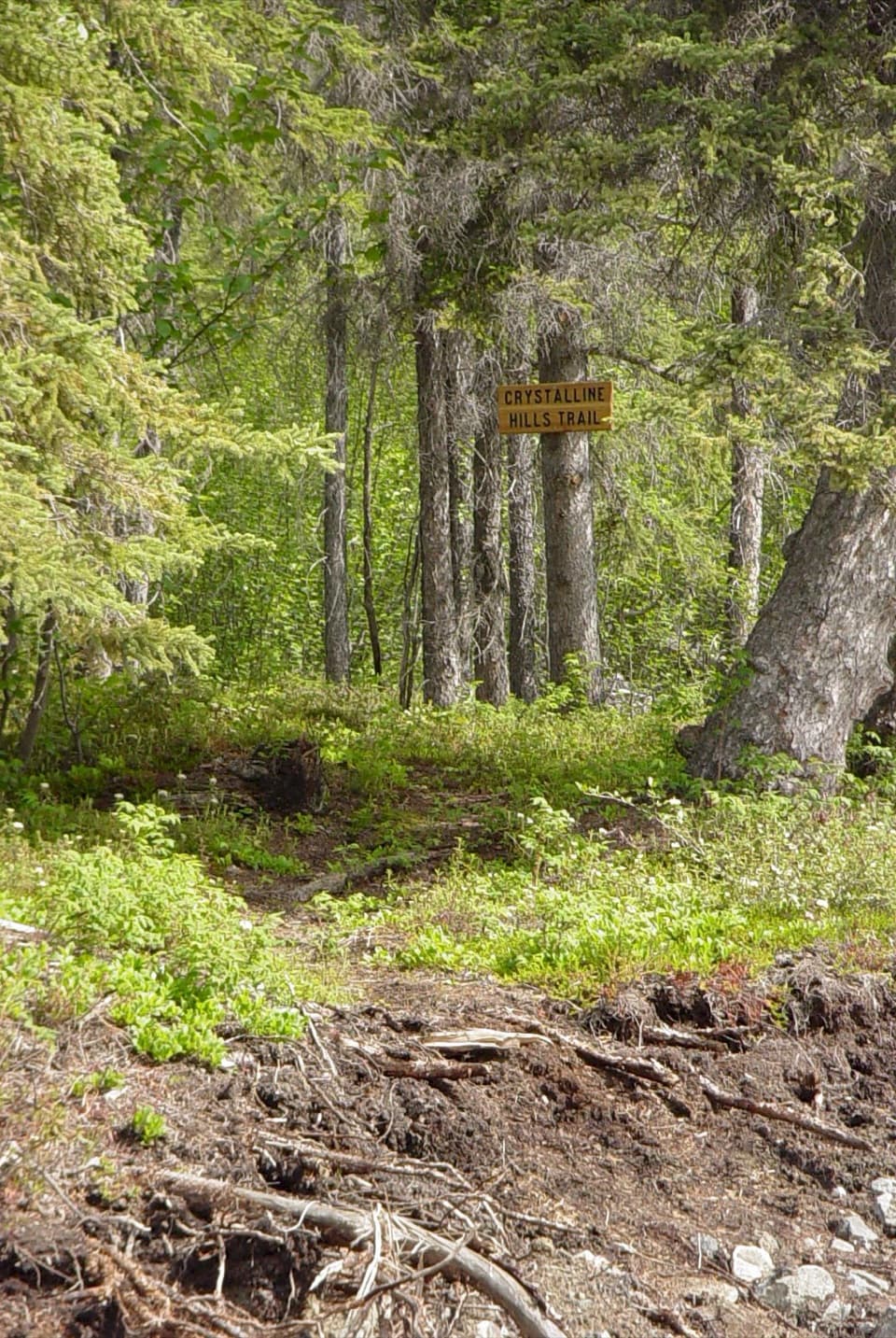
  6. 6Crystalline Hills TrailModerate · 2.5 mi

Take Parkwolf to Wrangell-St. Elias.

The audio tour guide for the drive, plus offline maps, trails, and wildlife heatmaps for when the signal drops.

4.7 from 8,600+ ratings

Download Parkwolf on the App StoreGet Parkwolf on Google Play