Apollinaris Spring Picnic Area in Yellowstone National Park

Picnic area · Yellowstone National Park

Apollinaris Spring Picnic Area

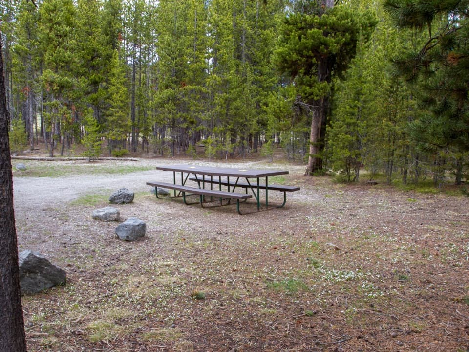
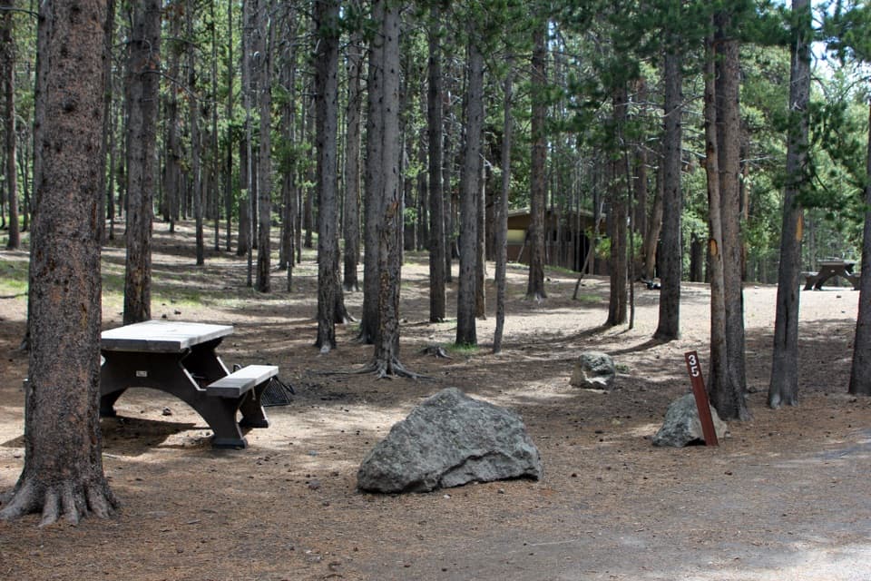
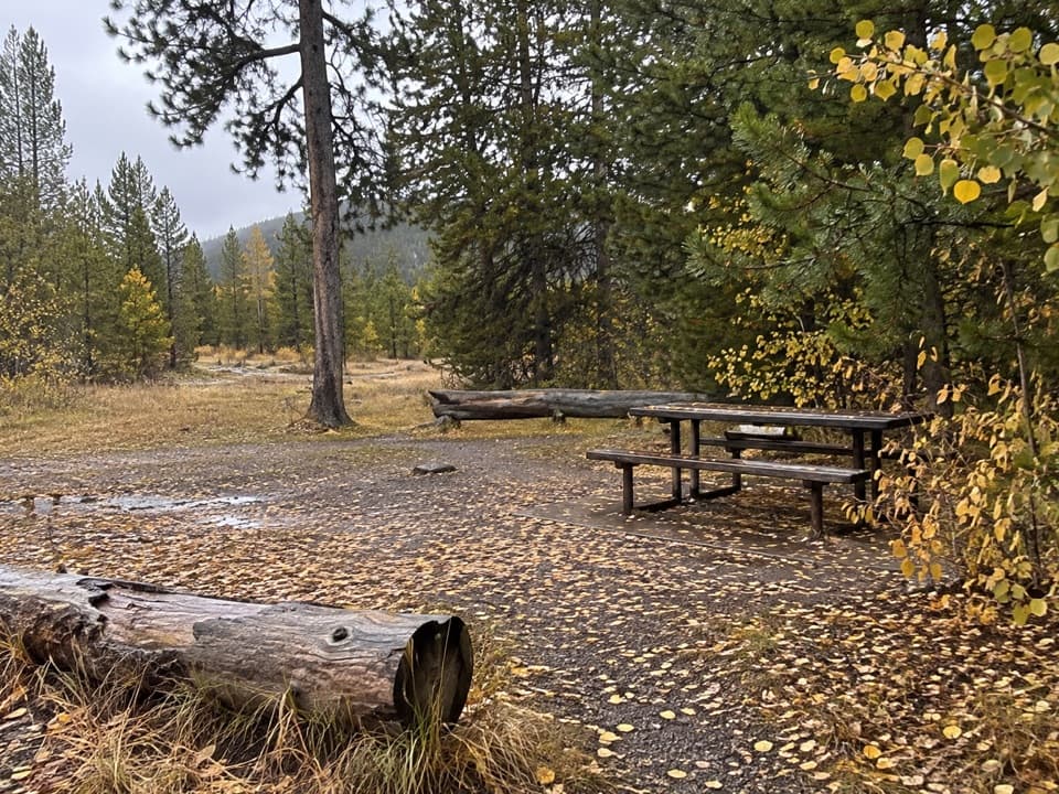
Six picnic tables make an easy lunch stop between Mammoth and Norris.

Type
Picnic area
Nearest trail
0.3 mi
Audio stories
3 nearby
  • Picnic tables
  • Restrooms
  • Parking

Hear the audio tour

Mount Holmes Trailhead

Overview

About Apollinaris Spring Picnic Area

Why stop

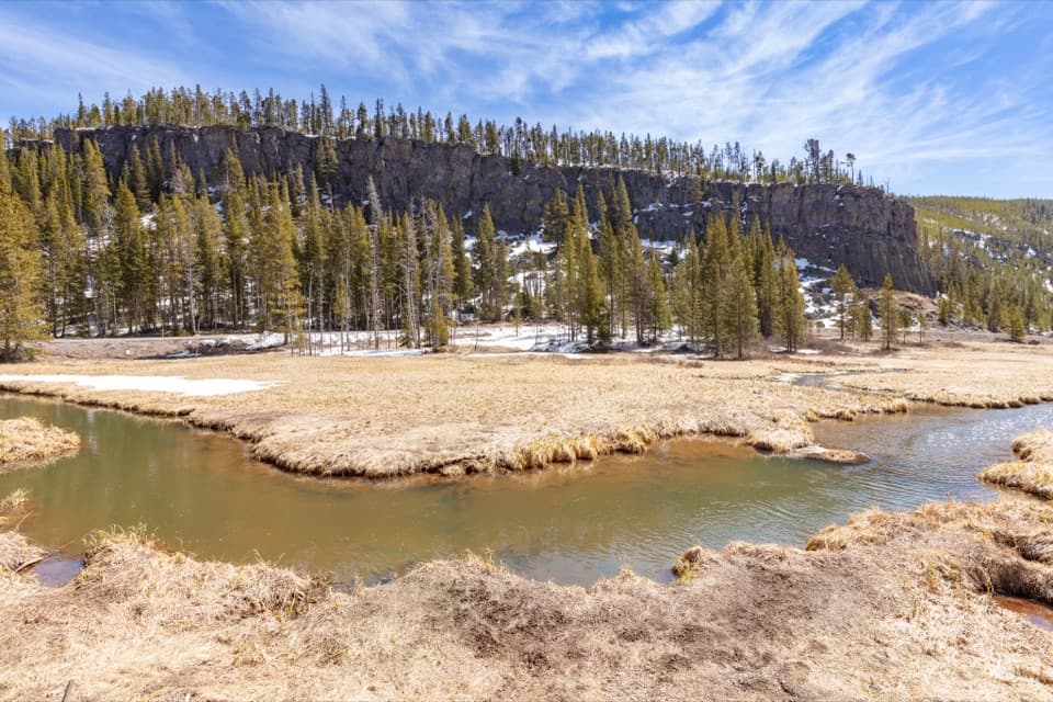
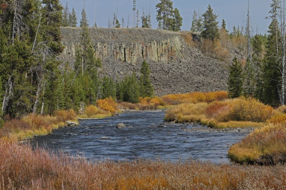
  • Shade trees and Obsidian Creek make lunch more pleasant.

Heads up

  • The historic spring is a separate stop across the road.

Map

Where it is

Loading the Yellowstone map
Full map
Picnic areaApollinaris Spring Picnic Area44.84282, -110.73481
Keep this map with you offline in the Parkwolf app

Plan your stop

Before you go

5 active Yellowstone alerts

  • ClosureBiscuit Basin closed after hydrothermal explosionBiscuit Basin’s parking lot, boardwalk, and Firehole River are closed to all travel.Official details
  • ClosureMost Yellowstone roads close to regular vehicles November 1Most Yellowstone roads and the West, South, and East entrances are scheduled to close to regular vehicles November 1, 2026, as the park prepares for winter operations.Official details

See all 5 alerts
A park ranger sits on a dash-mounted phone, talking, as Parkwolf’s Tour Guide plays “Army Cutworm Moths: A Grizzly Bear Buffet” on Grand Loop Road below Dunraven Pass in Yellowstone
Parkwolf Tour GuideThe highest, rockiest slopes around here are a summer buffet for grizzly bears.

Yellowstone Tour Guide

Hear Yellowstone as you drive it.

Parkwolf is a GPS audio tour guide for Yellowstone National Park. As you drive, it chimes in with what’s ahead: hidden gems, upcoming stops, history, geology, and wildlife, right through your car’s speakers.

See the Yellowstone audio tour

Recorded for this area

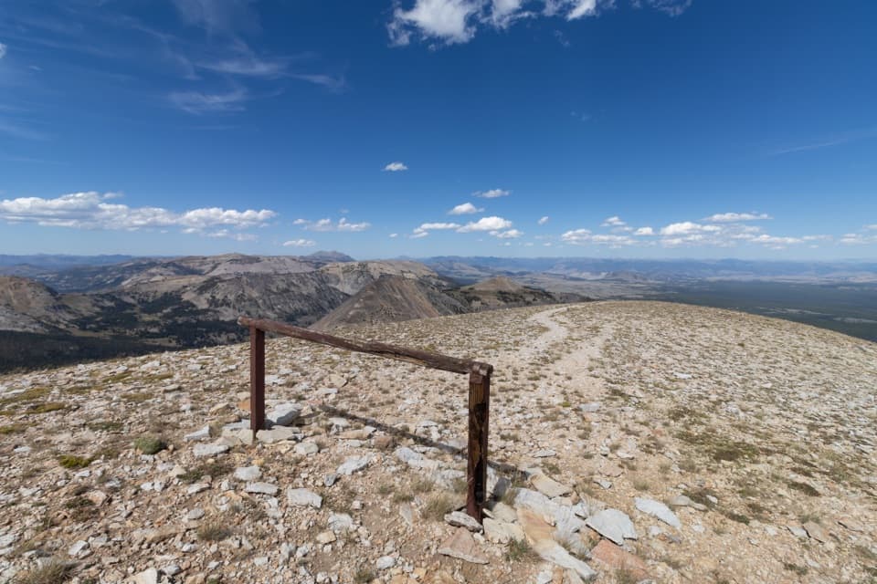
Mount Holmes Trailhead
0:00 / 0:27
“Mount Holmes Trailhead is coming up, for a strenuous full-day climb to a wide mountain panorama. Allow ten to twelve hours and about three thousand feet of climbing; I'd save this for a planned hiking day.”

Plays on the road 0.3 mi from Apollinaris Spring Picnic Area in the Parkwolf Yellowstone Tour Guide.

More stories near here in the app

  • Obsidian Cliff Roadside Exhibit
  • Digging Out the Patrol Cabin
  • Teeth That Keep Up with the Work
  • A Bow Made from Bighorn Horns
  • 243 audio storiesacross Yellowstone’s roads, triggered by GPS as you drive
  • Wildlife heatmapsfor Wolf, Grizzly Bear, Bison, and 13 more
  • Works offlinemaps, 167 trails, 192 places, and audio download before you lose signal
  • CarPlay readysimple controls built for the drive
★★★★★
“First time driving through a national park. We used the Yellowstone tour on grand loop Road and it’s just like having a tour guide in your car with you.”
Jyg5001App Store review
Download Parkwolf on the App StoreGet Parkwolf on Google Play

4.7 from 8,600+ ratings

Guide

More about Apollinaris Spring Picnic Area

A handy breakApollinaris Spring Picnic Area is a small picnic stop on Grand Loop Road between Mammoth Hot…

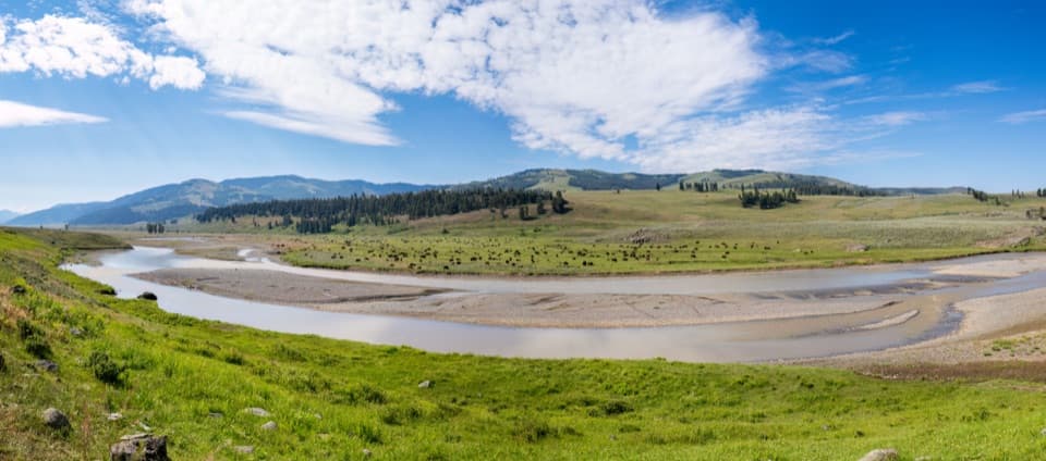
Apollinaris Spring Picnic Area is a small picnic stop on Grand Loop Road between Mammoth Hot Springs and Norris. It has six picnic tables and a vault toilet, with shade trees beside a meadow where Obsidian Creek flows. It’s a useful place to stop for lunch and stretch your legs mid-drive. Keep food, trash, coolers, and cooking gear in bear-proof storage whenever they aren’t in immediate use; overnight camping isn’t allowed in picnic areas.

The spring is across the roadThe historic spring that gives the picnic area its name is a separate feature across Grand Loop…

The historic spring that gives the picnic area its name is a separate feature across Grand Loop Road. The tables and toilet are here; the spring’s small stone landscape is across the road.

A little history in the stoneworkTravelers stopped at the cold mineral spring by the 1880s.

Travelers stopped at the cold mineral spring by the 1880s. Its half-acre designed landscape dates to 1925: an 89-foot walkway edged in white travertine leads to an oval flagstone terrace. At one end, a boulder wall called the “drip fall” was built with four concealed tubes above a recessed trough. The curved stone paths and wall give the spring stop a story beyond its mineral water.

Wildlife

Wildlife in Yellowstone

All Yellowstone wildlife maps

Sighting maps show where each species has been reported across Yellowstone. Wildlife moves, so no sighting is guaranteed.

Parkwolf’s Yellowstone ranking

Top sights in Yellowstone

All 192 places
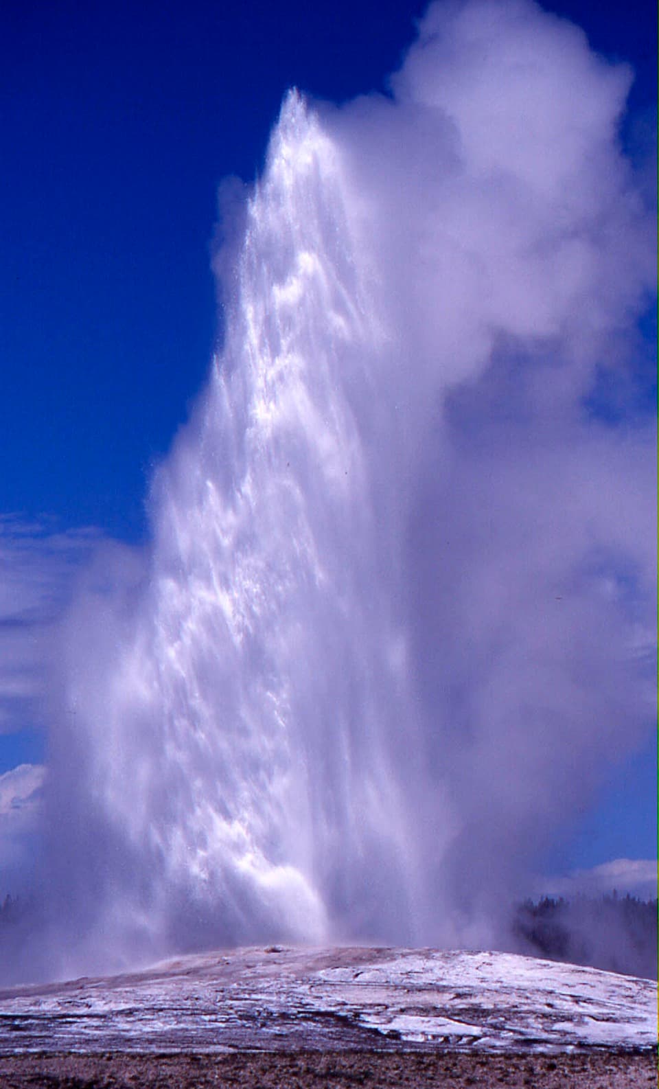
  1. 1Old Faithful GeyserSight
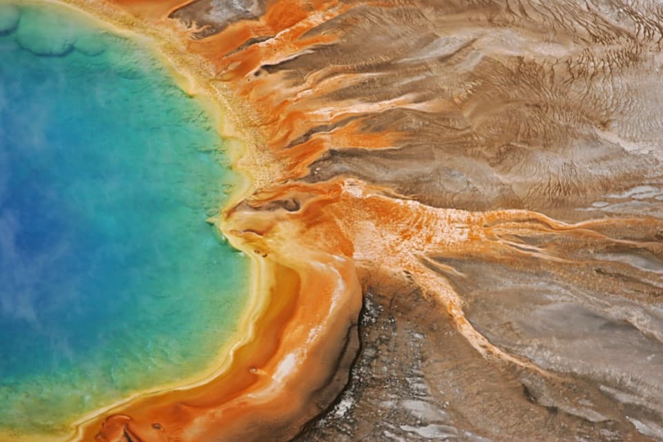
  2. 2Grand Prismatic SpringSight
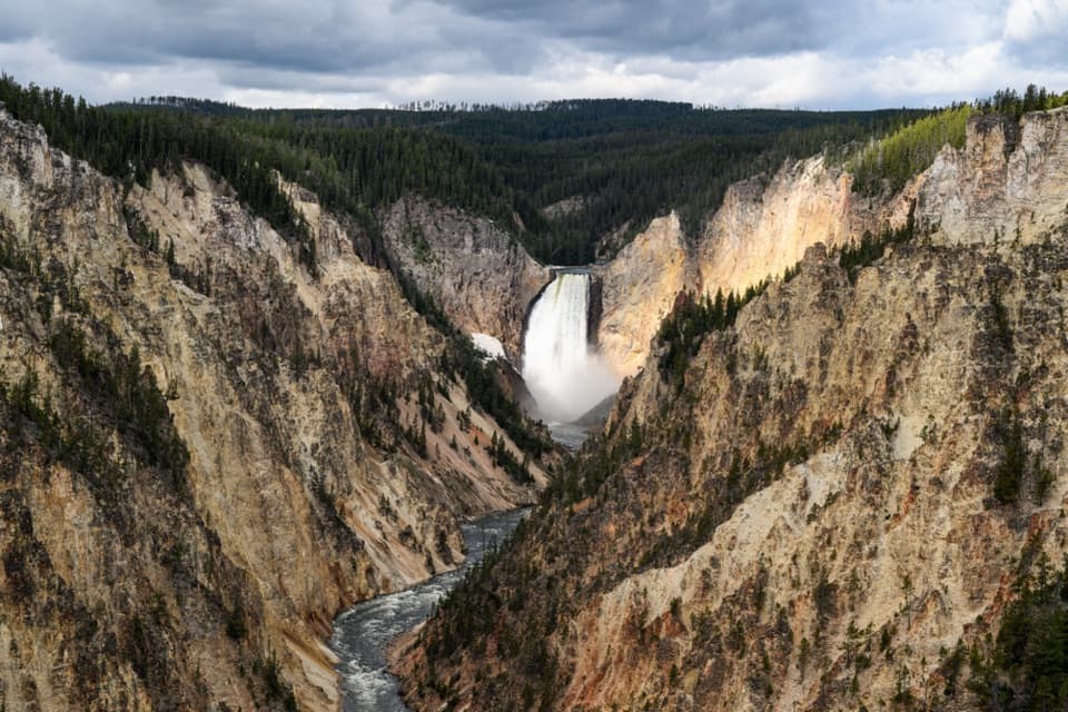
  3. 3Artist PointSight
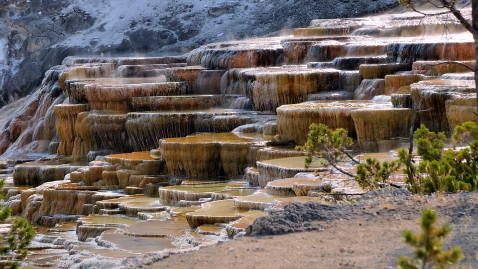
  4. 4Mammoth Hot Springs Lower TerracesSight
  5. 5Lamar Valley Wildlife WatchingSight
  6. 6Hayden Valley Overlook at Yellowstone RiverSight

Take Parkwolf to Yellowstone.

The audio tour guide for the drive, plus offline maps, trails, and wildlife heatmaps for when the signal drops.

4.7 from 8,600+ ratings

Download Parkwolf on the App StoreGet Parkwolf on Google Play