Parking
Use Mount Holmes Trailhead (1K6), south of Indian Creek Campground between Norris and Mammoth. NPS lists an information kiosk there; parking capacity and other facilities are not confirmed.
Yellowstone National Park, WY · MT · ID
A long climb to a quiet lake beneath Mount Holmes.
Overview
Trilobite Lake Trail is a strenuous 15.6-mile out-and-back from Mount Holmes Trailhead (1K6) to a small lake beneath Mount Holmes. The route shares the Mount Holmes–Winter Creek approach to the Winter Creek Patrol Cabin meadow, then takes the lake spur and returns the same way. Allow about 8–10 hours for the full day. The lake is a quiet payoff, but this is a long backcountry walk, not a quick trip to the water.
 Parkwolf’s verdictIs this the hike for you?
Map & elevation
Plan your hike

The highest, rockiest slopes around here are a summer buffet for grizzly bears.
Yellowstone Tour Guide
Parkwolf is a GPS audio tour guide for Yellowstone National Park. As you drive, it chimes in with what’s ahead: hidden gems, upcoming stops, history, geology, and wildlife, right through your car’s speakers.
See the Yellowstone audio tourRecorded for this trailhead
Mount Holmes Trailhead“Mount Holmes Trailhead is coming up, for a strenuous full-day climb to a wide mountain panorama. Allow ten to twelve hours and about three thousand feet of climbing; I'd save this for a planned hiking day.”
Plays as you drive up to this trailhead in the Parkwolf Yellowstone Tour Guide.
More stories near here in the app
“First time driving through a national park. We used the Yellowstone tour on grand loop Road and it’s just like having a tour guide in your car with you.”


Trail guide
The trail starts across a broad meadow, follows Winter Creek and crosses it before climbing through a mix of green forest, burned ground and younger trees. It passes the Grizzly Lake junction, curves around a ridge with views, then descends toward a wide meadow and the patrol-cabin junction. Stay on the Mount Holmes–Winter Creek route until that meadow, then take the branch for Trilobite Lake rather than continuing toward the Mount Holmes summit.
Winter Creek was reported unbridged on an older hike; the crossing setup can change, so do not count on a bridge or a dry crossing. The official description places the final climb in the last two miles to the lake and gives about 800 feet of gain there.
From the cabin meadow, the lake trail threads dense lodgepole forest and wet meadows with small streams, then climbs steeply through an old burn. The tread is less obvious here: orange markers and cut logs have been used to keep hikers on the route, and descriptions note an older and newer alignment. Slow down at junctions and follow the marked line rather than cutting across the slope.
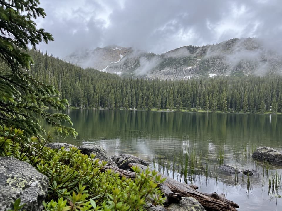
The route ends at a small pocket lake under the cliffs of a glacier-carved cirque, with Mount Holmes rising above the basin. It is the trail’s defining view after the long approach. For a photo, include the rocky shore in the foreground and the cliffs across the water to show the scale of the bowl.
Grizzly bears frequent this area. Yellowstone’s backcountry guidance advises hiking in groups of three or more, staying together, carrying a map and not hiking after dark. Pets are not allowed on park trails or in the backcountry. Check current trail and bear guidance before setting out; conditions on less-used routes may not be updated often.
The National Park Service lists 15.6 miles round trip; other full-route listings put it around 16–16.2 miles. The 2.4-mile figure sometimes attached to the name describes only the final cabin-to-lake segment. The stored line follows the trail once, about 7.9 miles each way.
Wildlife
 713 sightingsGrizzly BearMost seen around 6 AMSighting map
 743 sightingsWolfMost seen around 6 AMSighting map
 5,273 sightingsBisonMost seen around 7 AMSighting map
 3,258 sightingsElkMost seen around 7 PMSighting map
 397 sightingsMooseMost seen around 7 PMSighting map
 1,494 sightingsBlack BearMost seen around 7 PMSighting map
Sighting maps show where each species has been reported across Yellowstone. Wildlife moves, so no sighting is guaranteed.
Keep exploring
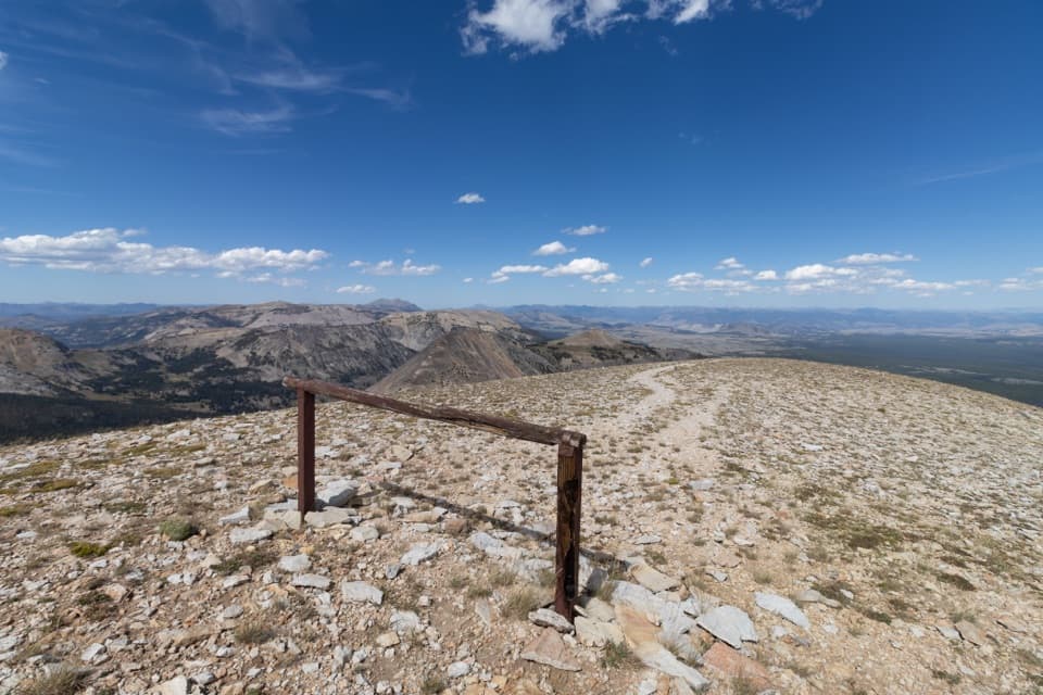 ChallengingMount Holmes Trail21.6 mi · 11.5 hr · At the trailheadA full-day climb from Winter Creek meadows to a 10,336-foot summit.
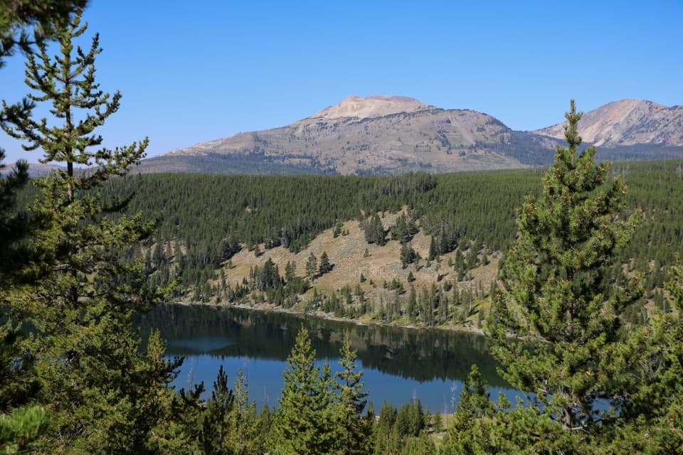 ModerateGrizzly Lake Trail4.2 mi · 3 hr · 2.8 mi awayA creek bridge, steep fire-scarred climb, and lake between ridges.
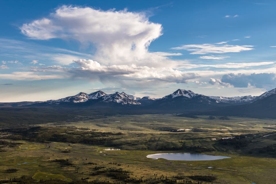 ModerateBunsen Peak Trail4.6 mi · 2.5 hr · 6.5 mi awaySwitchbacks climb to a broad view over Swan Lake Flats.
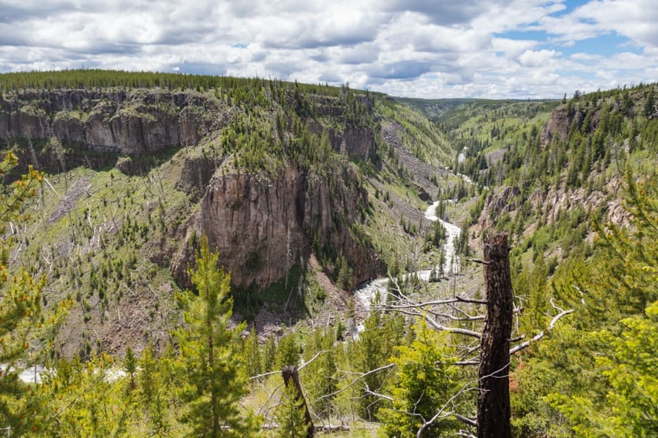 ModerateBunsen Peak Road Trail6 mi · 3 hr · 6.5 mi awayA level old road turns into a steep canyon descent.
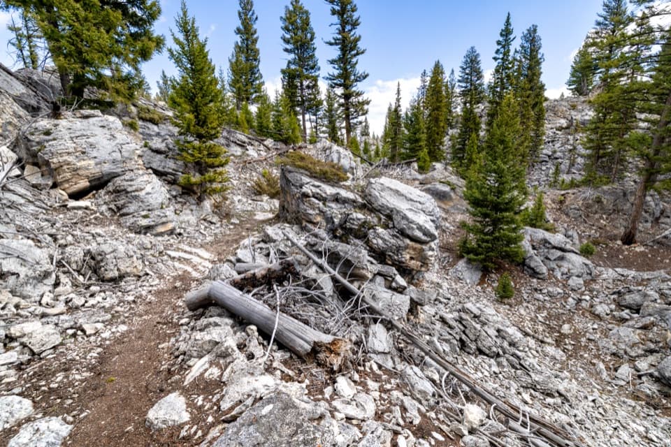 EasyHoward Eaton Trail: Glen Creek to Mammoth Hot Springs4 mi · 2.5 hr · 6.6 mi awayDownhill through the Hoodoos into Mammoth’s old spring terraces.
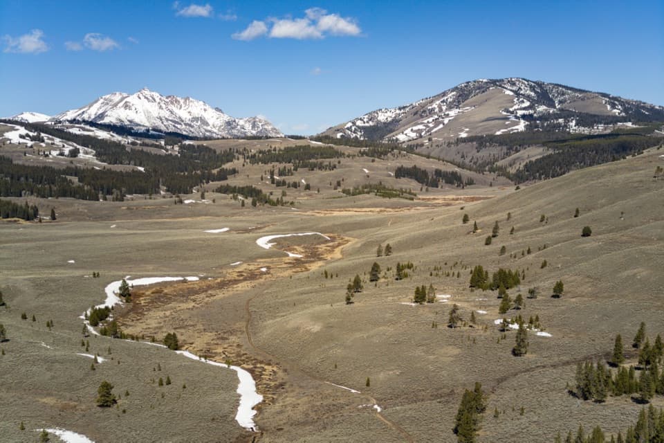 ModerateGlen Creek Trail11.9 mi · 6.5 hr · 6.6 mi awayA long walk through sagebrush flats beneath Electric Peak.
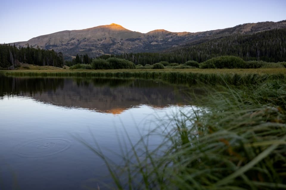 ChallengingSportsman Lake Trail24 mi · 14.5 hr · 6.6 mi awayA long Gallatin crossing past a remote lake and over a pass.
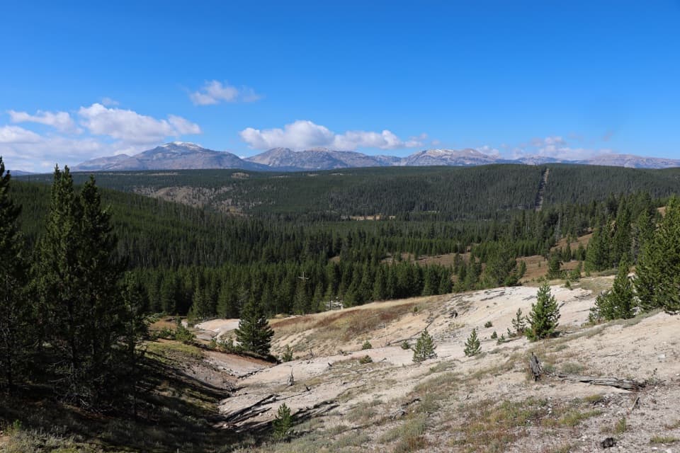 ModerateSolfatara Creek Trail6.3 mi · 3.5 hr · 7.2 mi awayA long thermal creek walk through forest, meadows, and hot springs
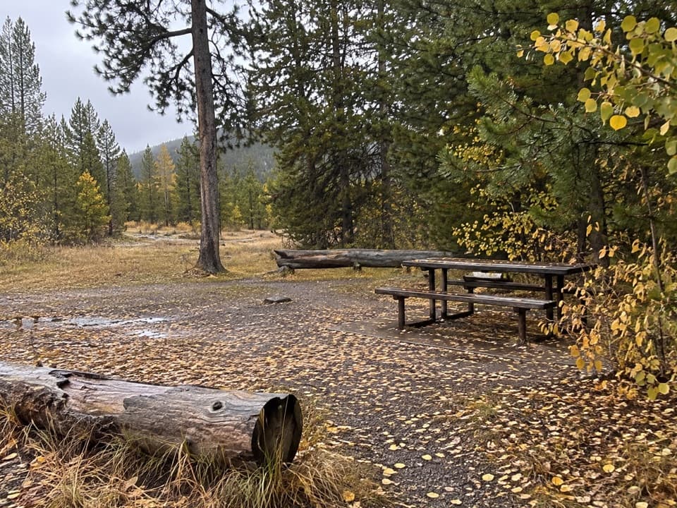 Picnic area · 0.3 mi awayApollinaris Spring Picnic AreaSix picnic tables make an easy lunch stop between Mammoth and Norris.
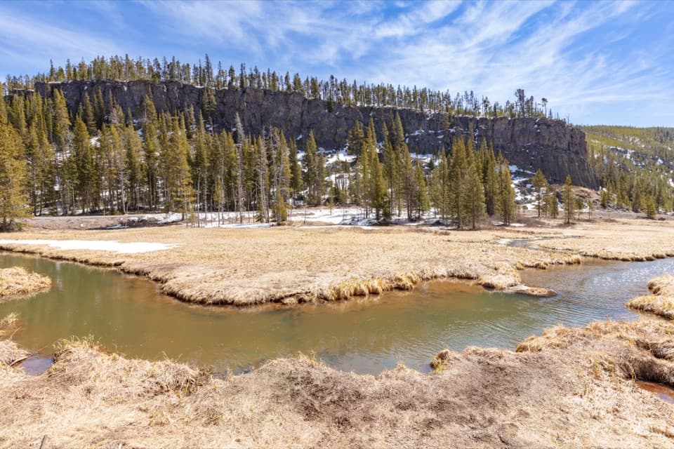 Sight · 1 mi awayObsidian CliffA brief roadside stop for 11,000 years of toolmaking history.
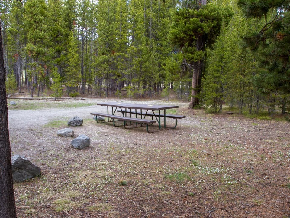 Picnic area · 1.9 mi awayBeaver Lake Picnic AreaNine tables make this a useful break between Norris and Mammoth.
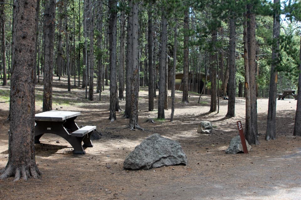 Campground · 3.4 mi awayIndian Creek CampgroundA quieter camp with Electric Peak views and fewer services.
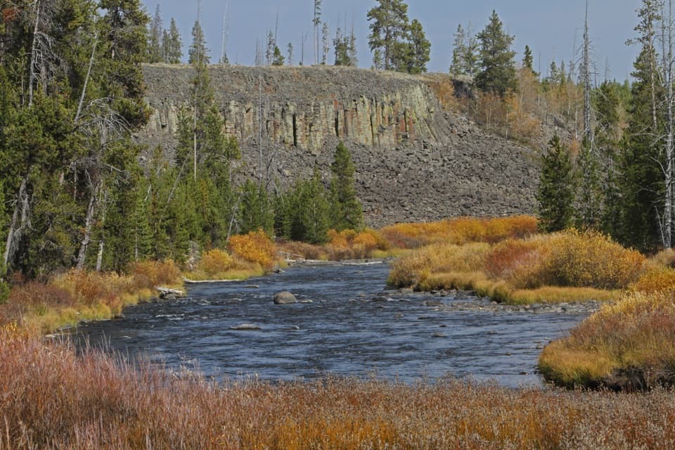 Sight · 3.7 mi awaySheepeater CliffWalk right up to a wall of six-sided basalt columns.
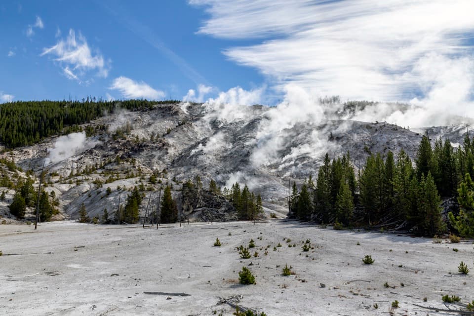 Sight · 4 mi awayRoaring MountainA quick pullout for Yellowstone's steam-vented chalky hillside.
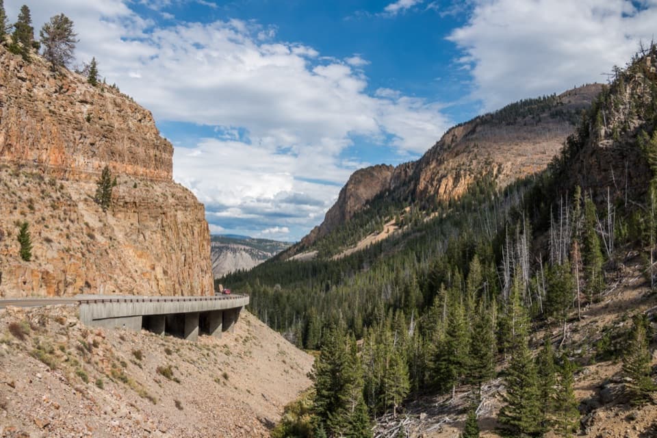 Sight · 6.7 mi awayGolden GateAn 11-arch viaduct bends around a golden canyon wall.
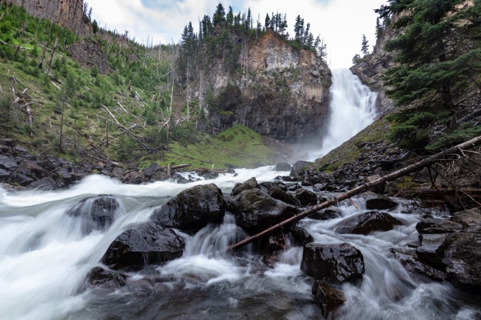 Sight · 6.8 mi awayOsprey FallsA hard hike to a 150-foot waterfall in Sheepeater Canyon.
Parkwolf’s Yellowstone ranking
The audio tour guide for the drive, plus offline maps, trails, and wildlife heatmaps for when the signal drops.





