
Place · 0.2 mi away
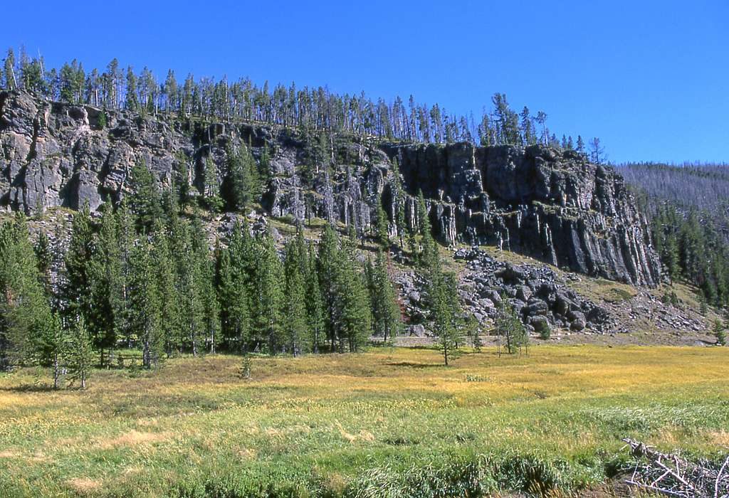
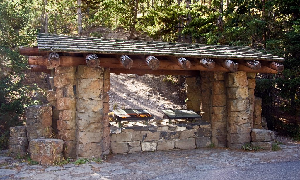
Obsidian Cliff is a quick, worthwhile pullout on the Grand Loop Road between Mammoth Hot Springs and Norris. It’s a National Historic Landmark and one of the park’s most important cultural sites—easy to see from your car, best appreciated with a short stop at the roadside kiosk.
People quarried this glassy volcanic rock here more than 11,000 years ago. Tools made from Obsidian Cliff spread widely across North America through ancient trade networks, with an especially strong presence in the Ohio River Valley. The site also hosts the park’s first wayside exhibit, a kiosk built in 1931 that turned road-shoulder stops into mini outdoor museums.
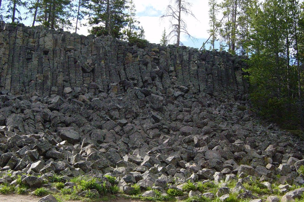
The cliff is an exposed obsidian lava flow with a sheer face roughly 98 feet tall, formed when silica-rich magma cooled so quickly it became natural glass. The flow erupted about 106,000 years ago and is unusually crystal-poor—perfect for super‑sharp stone tools. You’ll notice the dark, glassy cliff high above the road and a slope of shattered obsidian talus below.
Expect a signed roadside pullout with an interpretive kiosk and views of the cliff and talus. The main obsidian exposure is above the road; you’re here to look and learn, not to scramble. It’s a short, educational stop that pairs well with other sights along the Mammoth–Norris corridor.
There are no set hours—stop whenever you’re driving the Mammoth–Norris road while it’s open for the season. It’s a quick pullout, so fit it in as you go; if an area closure is posted, enjoy the view and kiosk from the roadside.
After the 1988 fires, archaeologists documented dozens of quarry pits and workshop spots on the surrounding plateau, deepening our understanding of how people extracted and worked this remarkable material.
Place · 0.2 mi away
Place · 1.8 mi away
Place · 2.9 mi away
Place · 4.5 mi away
Moderate · 1.9 mi away
Easy · 4.8 mi away
Easy · 6 mi away
Easy · 6 mi away

Parkwolf Tour Guide
