Parking
Hellroaring Trailhead is about a quarter mile off Grand Loop Road, with parking at the trailhead. From there, follow Hellroaring Creek Trail for about 1.5 miles, then Buffalo Plateau Trail for 0.5 mile to reach the Coyote Creek branch.
Yellowstone National Park, WY · MT · ID
A long meadow climb to a remote northern boundary.
Overview
Map & elevation
Plan your hike

The highest, rockiest slopes around here are a summer buffet for grizzly bears.
Yellowstone Tour Guide
Parkwolf is a GPS audio tour guide for Yellowstone National Park. As you drive, it chimes in with what’s ahead: hidden gems, upcoming stops, history, geology, and wildlife, right through your car’s speakers.
See the Yellowstone audio tourRecorded for this trailhead
Hellroaring Trailhead“You're nearing Hellroaring Trailhead, where a steep walk leads to a suspension bridge over a narrow Yellowstone River canyon.”
Plays as you drive up to this trailhead in the Parkwolf Yellowstone Tour Guide.
More stories near here in the app
“First time driving through a national park. We used the Yellowstone tour on grand loop Road and it’s just like having a tour guide in your car with you.”


Trail guide
Coyote Creek Trail is a remote Yellowstone out-and-back from Hellroaring Trailhead to the northern park boundary. Plan for about 14.3 miles round trip, including the approach: roughly 1.5 miles on Hellroaring Creek Trail, 0.5 miles on Buffalo Plateau Trail, then about 5.1 miles along Coyote Creek to the boundary and back. Published descriptions give the Coyote section as 3.9 miles one way, shorter than the connected mapped corridor used here; allow for the longer distance. There is no road access at the far end; set aside most of a day, turn around at the boundary, and retrace the full route.
The route first drops from Hellroaring Trailhead toward creek level, then climbs through open country toward the boundary. The elevation profile suggests about 1,550 feet of cumulative climbing on the one-way line, including that early descent. The Hellroaring approach has limited shade. Carry enough water and bear spray for a full backcountry day; pets are not allowed on the trail.
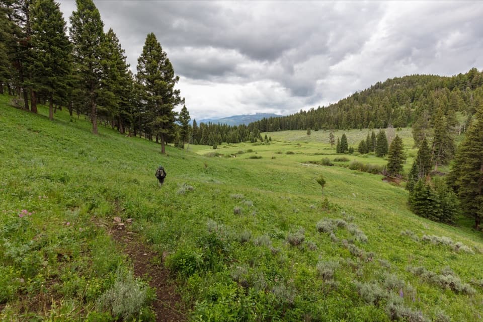
The trail crosses open meadows with views toward Bull Mountain, then follows Coyote Creek up the western shoulder of Buffalo Plateau. At the northern boundary, the corridor continues onto Custer Gallatin National Forest toward Telephone Basin; that out-of-park section is not included here. Check current trail and backcountry notices before setting out.
Wildlife
 713 sightingsGrizzly BearMost seen around 6 AMSighting map
 743 sightingsWolfMost seen around 6 AMSighting map
 5,273 sightingsBisonMost seen around 7 AMSighting map
 3,258 sightingsElkMost seen around 7 PMSighting map
 397 sightingsMooseMost seen around 7 PMSighting map
 1,494 sightingsBlack BearMost seen around 7 PMSighting map
Sighting maps show where each species has been reported across Yellowstone. Wildlife moves, so no sighting is guaranteed.
Keep exploring
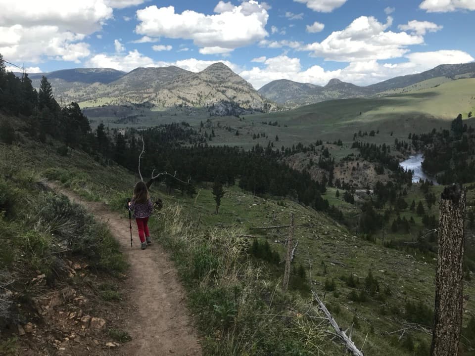 ModerateHellroaring Creek Trail6.2 mi · 4 hr · At the trailheadA bridge and creek confluence reward a steep climb back out.
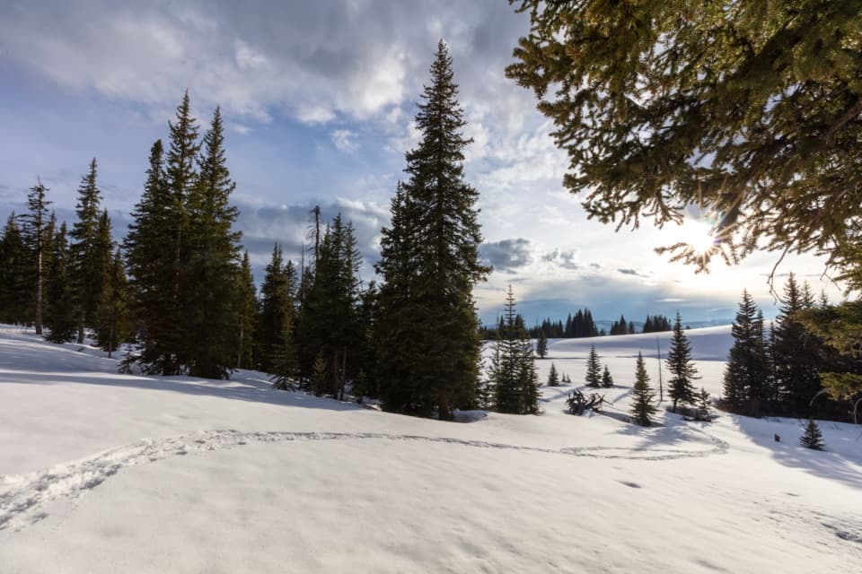 ChallengingBuffalo Plateau Trail18.8 mi · 11 hr · At the trailheadCross the river, climb through sagebrush to two wide valleys.
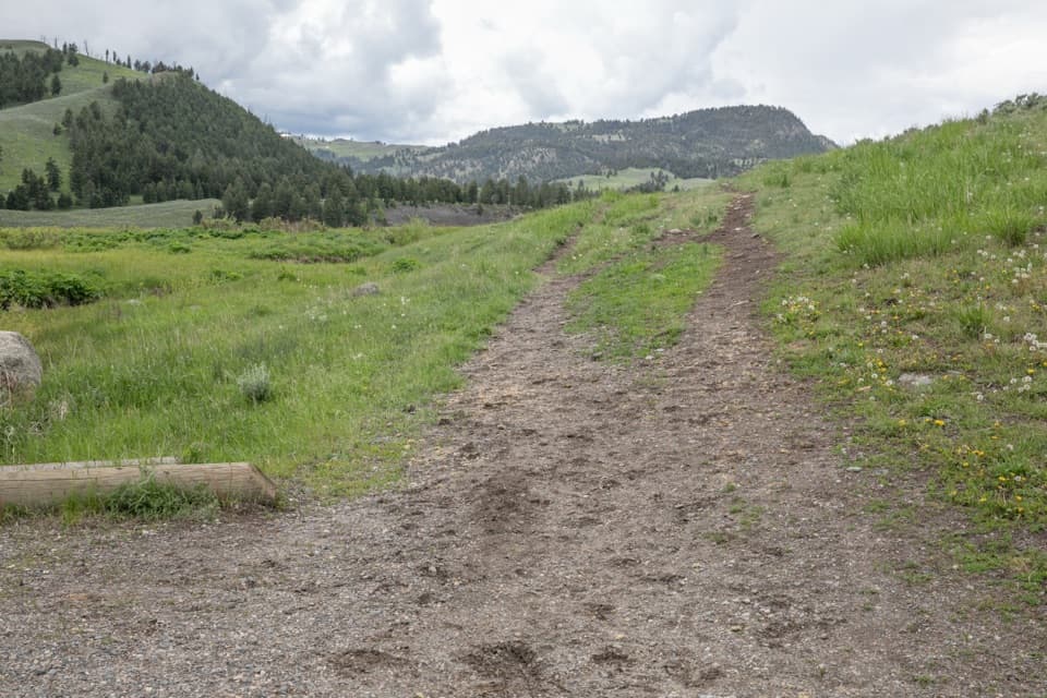 ModerateGarnet Hill Loop Trail8.1 mi · 4.5 hr · 2.8 mi awayA stagecoach road leads into Elk Creek canyon and river views.
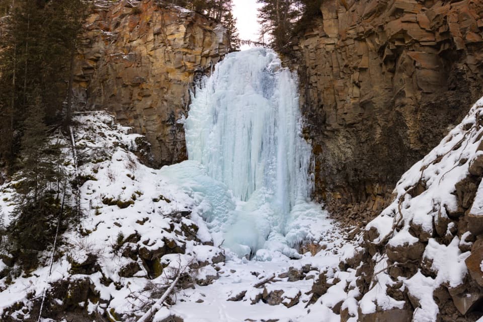 EasyLost Creek Falls Trail0.5 mi · 30 min · 3 mi awayA short creekside climb to a waterfall behind Roosevelt Lodge.
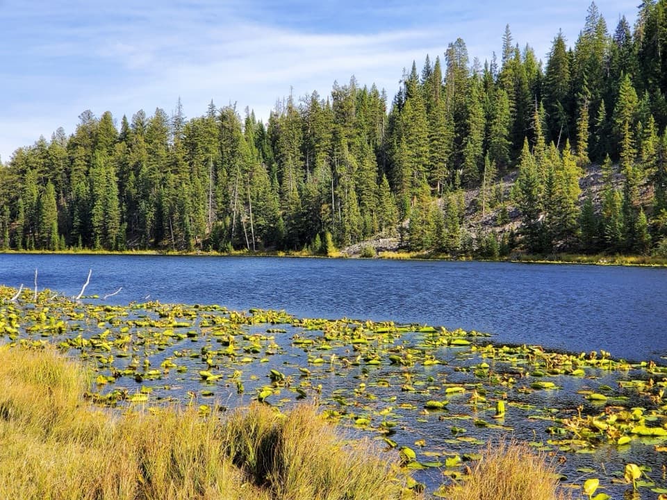 ModerateLost Lake Trail2.8 mi · 1.5 hr · 3 mi awayA 2.8-mile loop pairs Lost Lake with sagebrush meadow views.
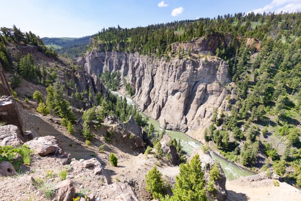 ModerateYellowstone River Picnic Area Trail3.7 mi · 2.5 hr · 3.3 mi awayA steep climb opens a view into the Yellowstone Narrows.
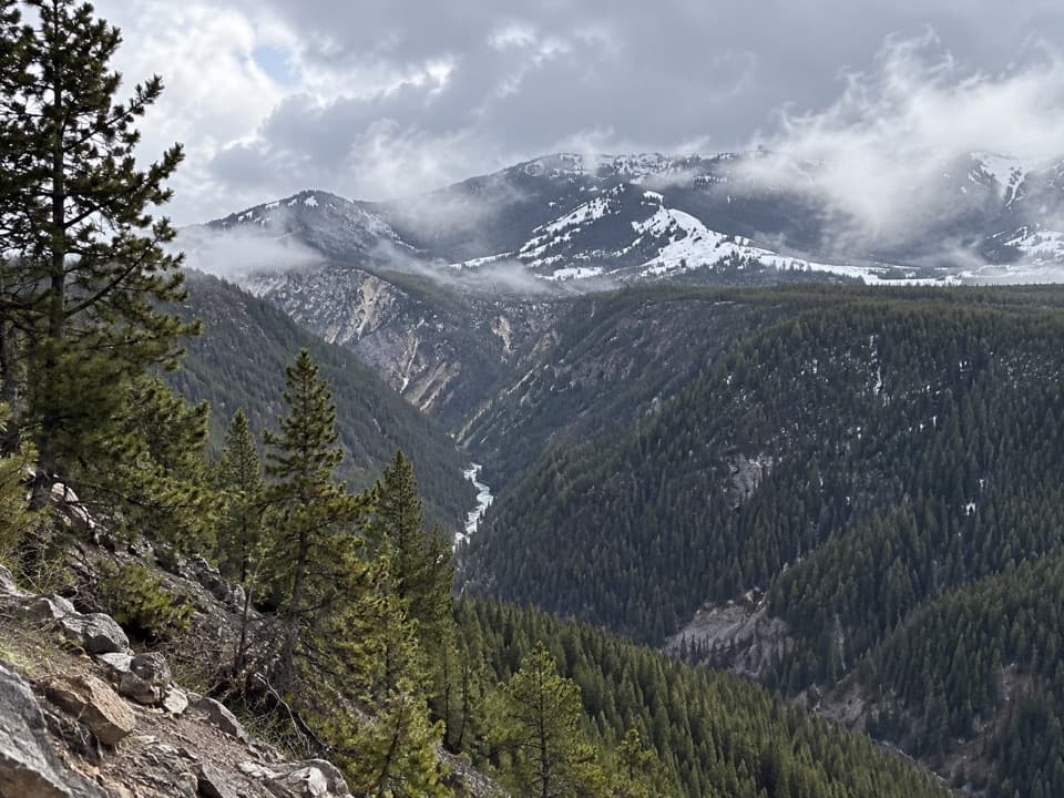 ChallengingAgate Creek Trail13.1 mi · 9.5 hr · 4 mi awayA long descent to a remote stretch of the Yellowstone River.
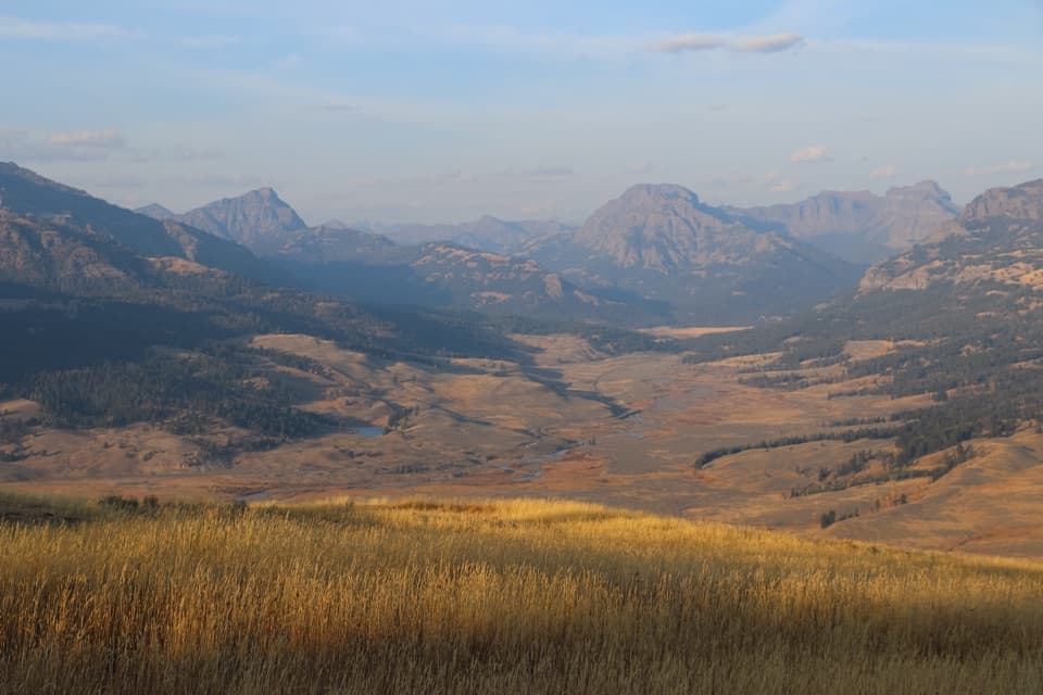 ChallengingSpecimen Ridge Trail17.7 mi · 11 hr · 4 mi away17.7-mile one-way ridge traverse over Amethyst Mountain.
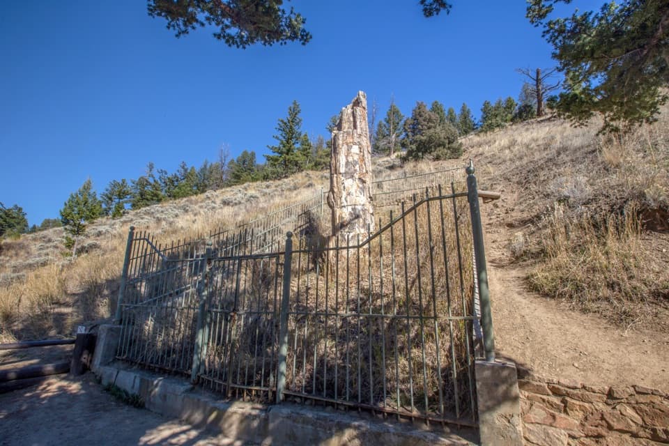 Sight · 2.3 mi awayPetrified TreeOne ancient redwood, best as a quick add-on near Lost Lake.
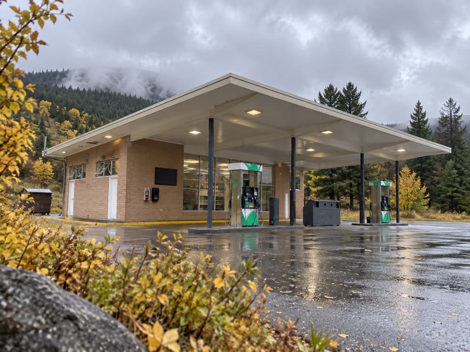 Gas station · 2.8 mi awayTower-Roosevelt Junction Gas StationFuel, ice, and a small store at Tower Junction.
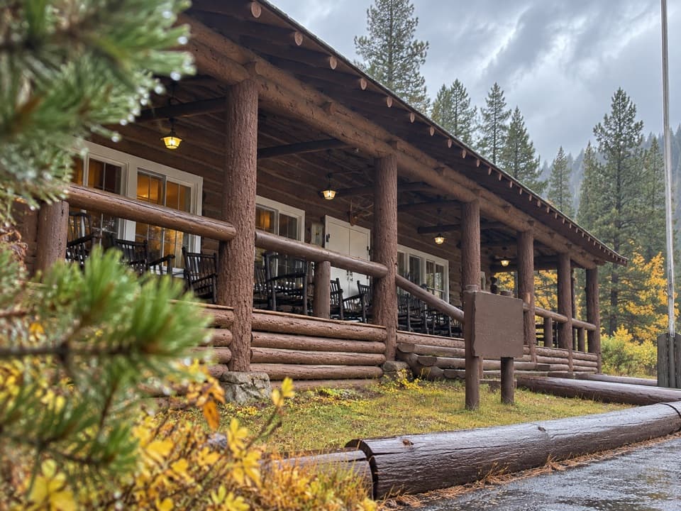 Lodging · 3 mi awayRoosevelt Lodge CabinsRustic cabins near Lamar Valley, with a 1920s lodge and porch.
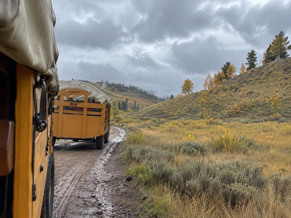 Sight · 3 mi awayRoosevelt Corral and Old West Dinner CookoutA covered-wagon steak supper in Pleasant Valley.
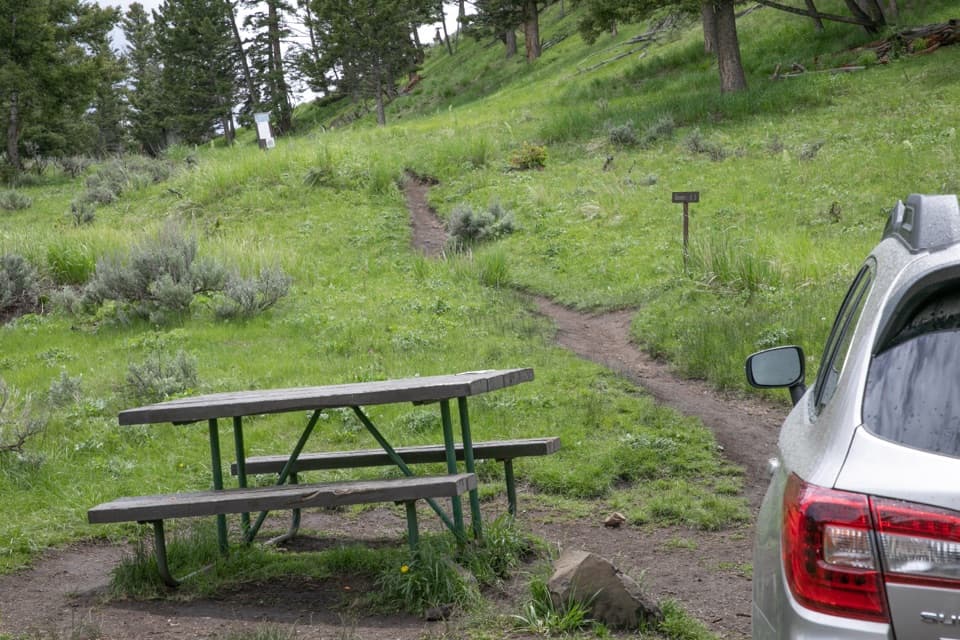 Picnic area · 3.3 mi awayYellowstone River Picnic AreaA picnic stop that doubles as a steep start to canyon views.
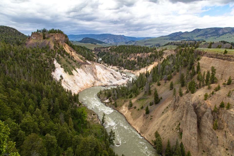 Sight · 4.3 mi awayCalcite Springs OverlookRiver cliffs, basalt columns, and a hot-spring story in minutes.
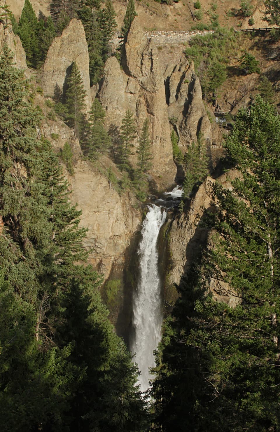 Sight · 5 mi awayTower Fall Overlook132 feet of falling water framed by the towers that named it.
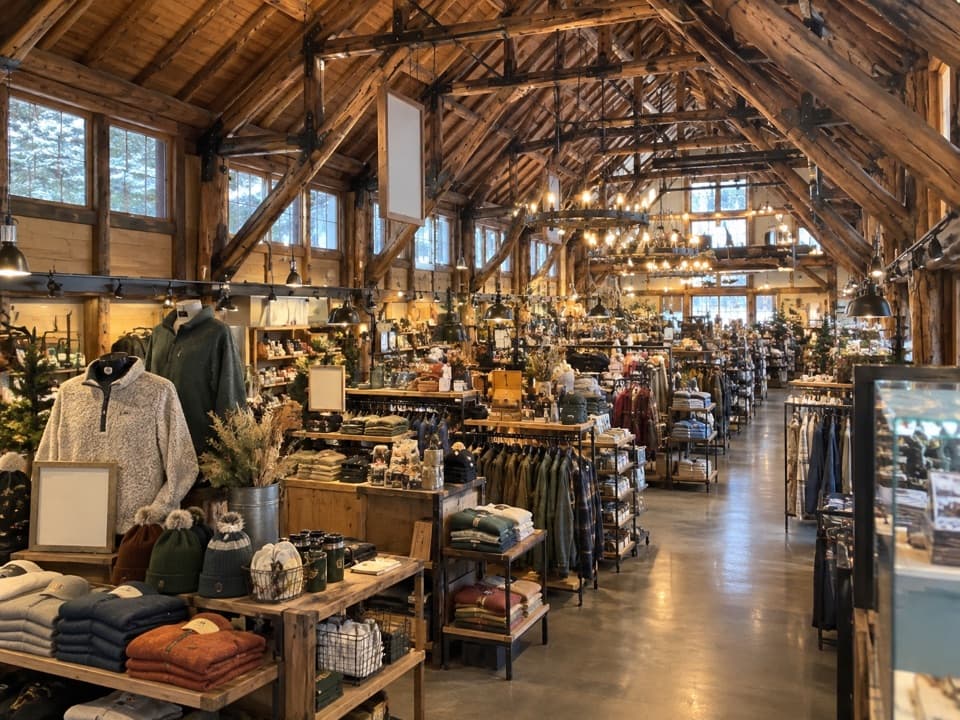 Store · 5 mi awayTower Fall General StoreIce cream, trail snacks and souvenirs beside the Tower Fall trailhead.
Parkwolf’s Yellowstone ranking

The audio tour guide for the drive, plus offline maps, trails, and wildlife heatmaps for when the signal drops.