Parking
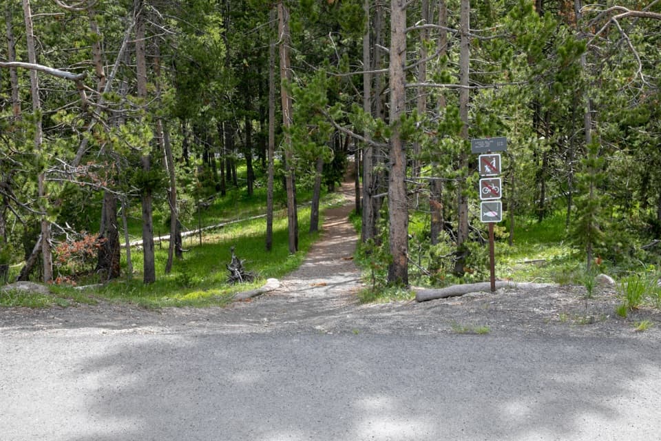
Use the signed OK9 pullout about 3.8 miles north of Old Faithful Junction toward Madison. An information board is listed at the trailhead; parking capacity is not documented.
Yellowstone National Park, WY · MT · ID
Burned woods, rocky climbs, and a high outcrop above Mallard Lake.
Overview
Map & elevation
Plan your hike

The highest, rockiest slopes around here are a summer buffet for grizzly bears.
Yellowstone Tour Guide
Parkwolf is a GPS audio tour guide for Yellowstone National Park. As you drive, it chimes in with what’s ahead: hidden gems, upcoming stops, history, geology, and wildlife, right through your car’s speakers.
See the Yellowstone audio tourRecorded for this area
Grand Prismatic Overlook and Fairy Falls“You're approaching the Fairy Falls trailhead, the starting point for Grand Prismatic Overlook as well as the waterfall hike.”
Plays on the road 0.6 mi from the trailhead in the Parkwolf Yellowstone Tour Guide.
More stories near here in the app
“First time driving through a national park. We used the Yellowstone tour on grand loop Road and it’s just like having a tour guide in your car with you.”


Trail guide
Mallard Creek Trail is an 8.6-mile out-and-back from the signed OK9 trailhead to Mallard Lake. It climbs through burned conifer woods, mostly uphill over rocky rolls, with the lake and a high rock outcrop as the payoff. Allow about four to five hours. The park lists 8.6 miles round trip; another published figure is 9.2, and the mapped corridor measures about 4.5 miles one way. I’d allow for roughly nine miles and a long half-day.
Early on, the route runs through lodgepole pine with limited views. Farther up, it rolls over rocky volcanic knolls: short descents interrupt a climb that is mostly uphill. Older trees appear higher on the route, and a distant view of Grand Prismatic Spring opens from the upper trail.
The route reaches Mallard Lake after a high rock outcrop overlooking the water and the beginning of the Mallard Creek drainage. That outcrop is the best place to stop and look back over the lake. If you take a photo, include some of the rock foreground with the lake and drainage so the view has a sense of scale.
Use the signed Mallard Creek Trailhead (OK9) pullout about 3.8 miles north of Old Faithful Junction toward Madison. There’s an information board at the trailhead; no services are listed there. Pets are prohibited. The park’s backcountry guidance asks hikers to go in groups of three or more, stay together, know how to navigate, and avoid hiking after dark. A permit is required for overnight camping at the lake, not for the day hike.
Mallard Creek was originally laid out as a winter ski trail. Today’s walk is a long, rocky climb through burned forest to the lake.
Wildlife
 713 sightingsGrizzly BearMost seen around 6 AMSighting map
 743 sightingsWolfMost seen around 6 AMSighting map
 5,273 sightingsBisonMost seen around 7 AMSighting map
 3,258 sightingsElkMost seen around 7 PMSighting map
 397 sightingsMooseMost seen around 7 PMSighting map
 1,494 sightingsBlack BearMost seen around 7 PMSighting map
Sighting maps show where each species has been reported across Yellowstone. Wildlife moves, so no sighting is guaranteed.
Keep exploring
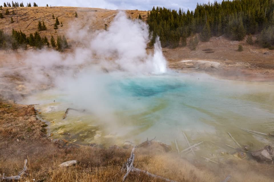 EasyImperial Geyser Trail6.6 mi · 4 hr · 0.6 mi awayA forest walk to a 200-foot waterfall and two active geysers.
 EasyGrand Prismatic Overlook Trail1.6 mi · 1.5 hr · 0.6 mi awayA short climb to see Grand Prismatic from above
 EasyFairy Falls Trail4.5 mi · 3 hr · 0.6 mi awayAn easy forest walk to a 200-foot waterfall.
 EasyMidway Geyser Basin Trail0.7 mi · 45 min · 1.5 mi awayA compact boardwalk loop to a giant spring and a blue crater.
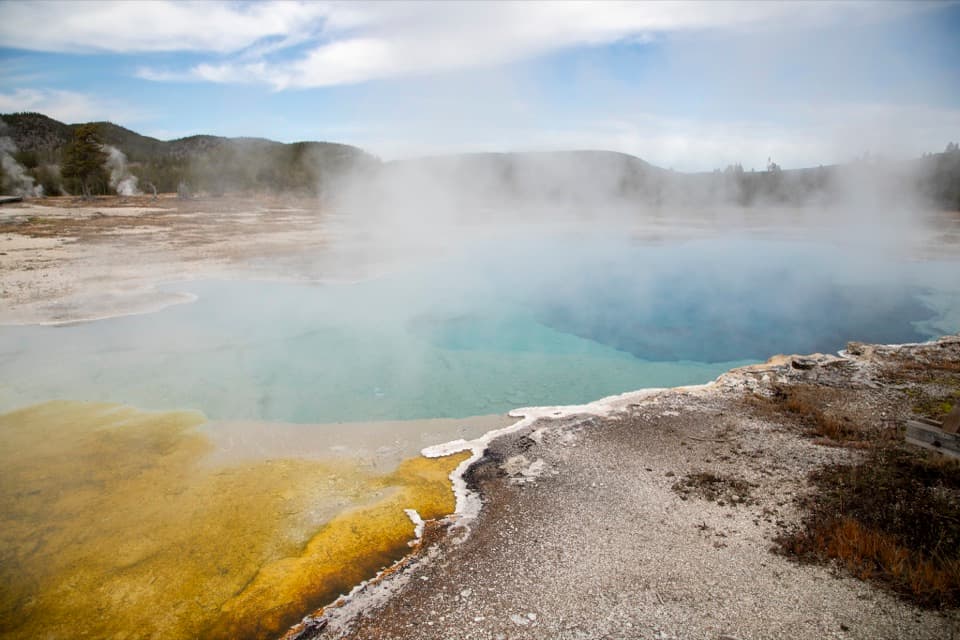 EasyBiscuit Basin Trail0.6 mi · 45 min · 1.8 mi awayA short boardwalk loop through Yellowstone's blue pools and geysers.
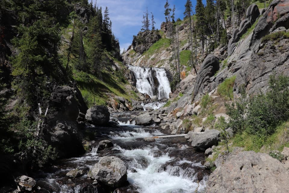 ModerateMystic Falls Trail2.4 mi · 2.5 hr · 1.9 mi awayA creekside forest walk to a 70-foot waterfall.ChallengingFairy Creek Trail11.3 mi · 7.5 hr · 2.2 mi awayA long backcountry traverse from geyser views to Imperial Geyser.
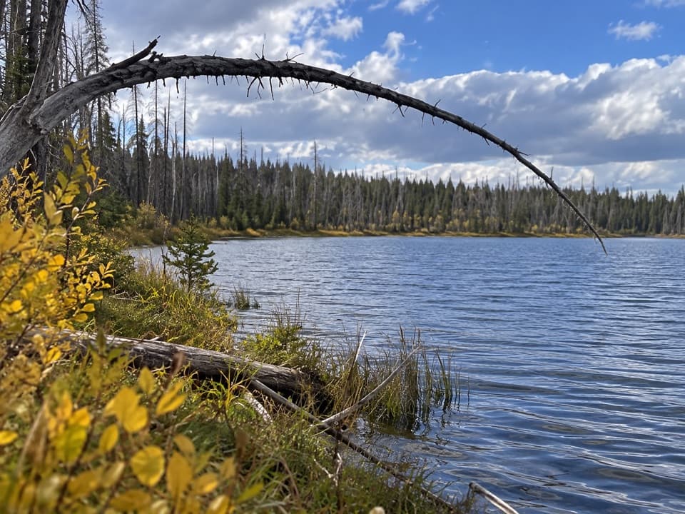 ChallengingSummit Lake Trail15.4 mi · 8.5 hr · 2.2 mi awayA long CDT walk to an alpine lake and backcountry hot springs.
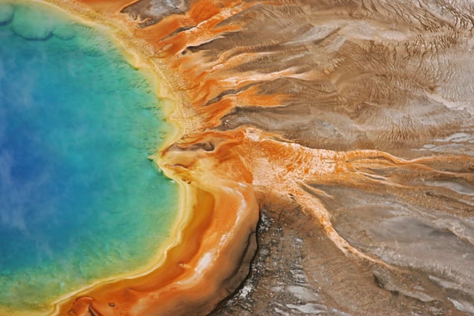 Sight · 1.3 mi awayGrand Prismatic SpringThe overlook turns a vivid close-up into a full ring of color.
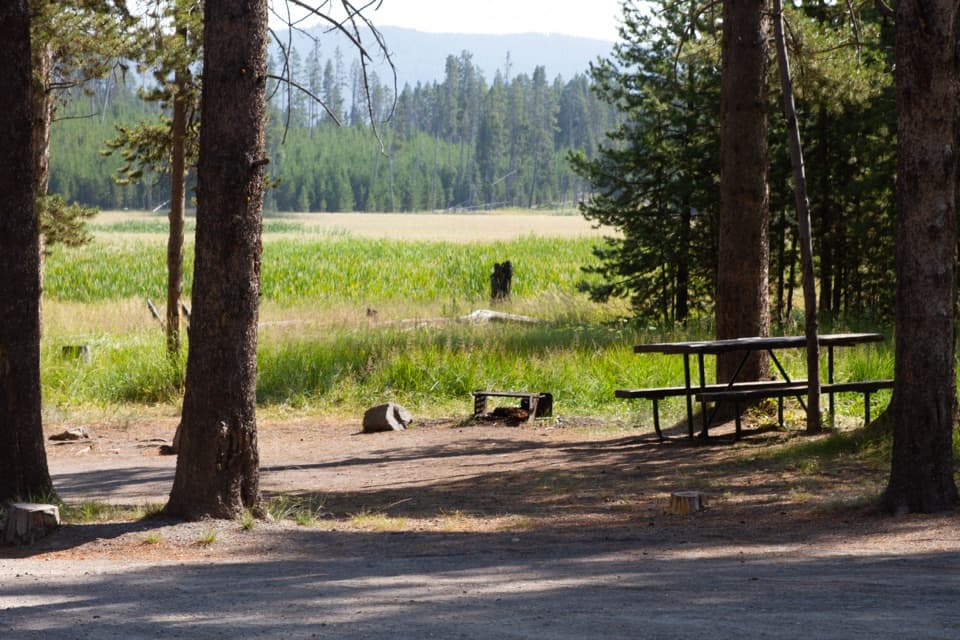 Picnic area · 1.7 mi awayWhiskey Flat Picnic AreaA meadow-side picnic break where bison sometimes pass.
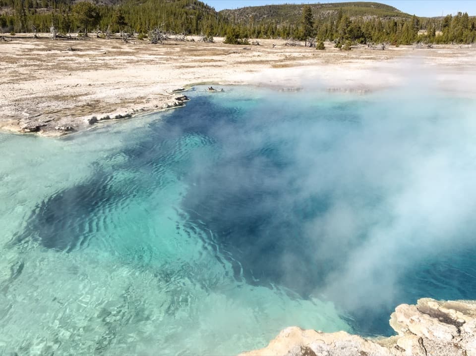 Sight · 1.8 mi awayBiscuit BasinA short loop of colorful springs and a geyser that erupts often.
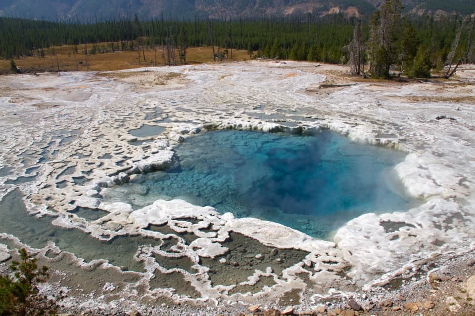 Sight · 2.1 mi awayArtemisia GeyserA deep blue pool that can erupt as a rolling boil.Sight · 2.2 mi awayFairy FallsA 200-foot waterfall rewards a longer walk beyond Midway.
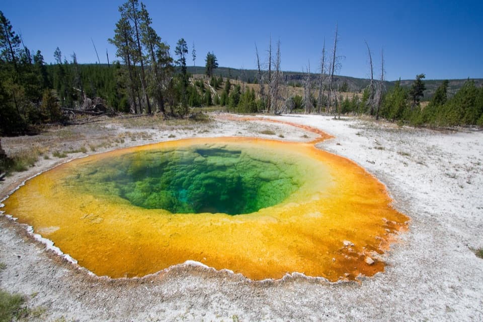 Sight · 2.3 mi awayMorning Glory PoolA vivid hot spring at the end of a worthwhile basin walk.
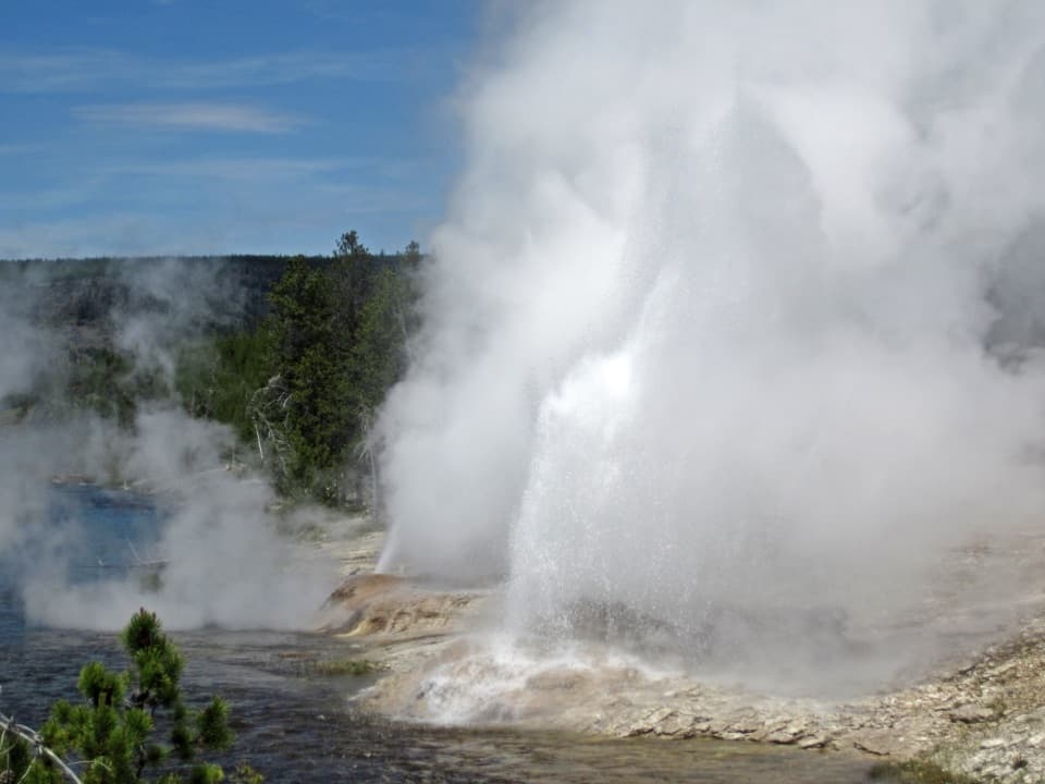 Sight · 2.3 mi awayFan and Mortar GeysersTwo riverbank geysers share a system; eruptions are a bonus.
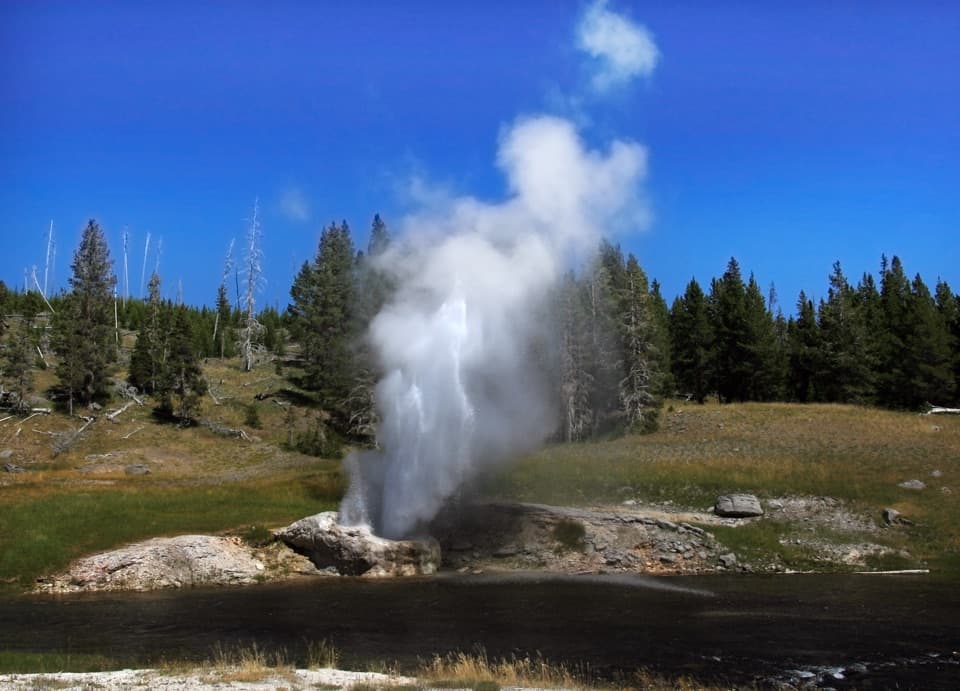 Sight · 2.4 mi awayRiverside GeyserRiverside sends its eruption arcing across the Firehole River.
Parkwolf’s Yellowstone ranking

The audio tour guide for the drive, plus offline maps, trails, and wildlife heatmaps for when the signal drops.


