Parking
Start at Biscuit Basin Trailhead (OK4), the access point for the boardwalk loop.
Yellowstone National Park, WY · MT · ID
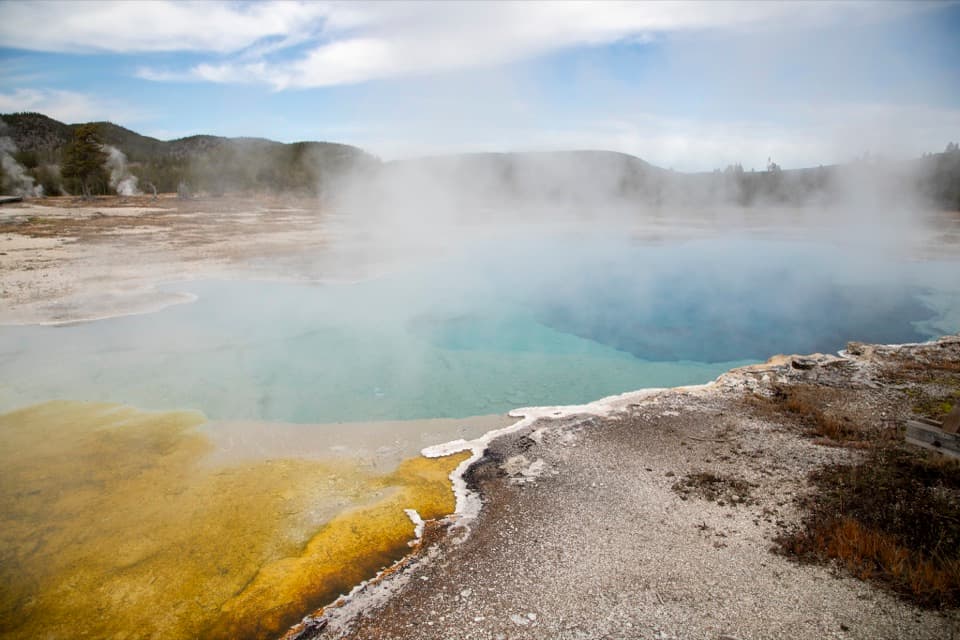
A short boardwalk loop through Yellowstone's blue pools and geysers.
Overview
The name comes from biscuit-shaped mineral deposits that once ringed Sapphire Pool. After the 1959 Hebgen Lake earthquake, the pool erupted and blew those deposits away. Sapphire last erupted in 1991, a reminder that the features here are active parts of Yellowstone's volcanic system.
 Parkwolf’s verdictWhy it's called Biscuit Basin
Map & elevation
Plan your hike

The highest, rockiest slopes around here are a summer buffet for grizzly bears.
Yellowstone Tour Guide
Parkwolf is a GPS audio tour guide for Yellowstone National Park. As you drive, it chimes in with what’s ahead: hidden gems, upcoming stops, history, geology, and wildlife, right through your car’s speakers.
See the Yellowstone audio tourRecorded for this area
A New Rack Every Spring“A bull elk grows that whole set of antlers again each year. Most Yellowstone bulls drop theirs in March or April, and new growth starts soon afterward.”
Plays on the road 1.2 mi from the trailhead in the Parkwolf Yellowstone Tour Guide.
More stories near here in the app
“First time driving through a national park. We used the Yellowstone tour on grand loop Road and it’s just like having a tour guide in your car with you.”


Trail guide
Biscuit Basin Trail is an easy 0.6-mile lollipop loop on boardwalk through a compact field of hot springs and geysers. Start at Biscuit Basin Trailhead (OK4); allow about 30 to 60 minutes so you can stop at the pools. The entrance stem is shared on the way back. This is the basin circuit, not the separate Mystic Falls hike or the longer Summit Lake route that also start nearby.
The boardwalk passes Sapphire Pool, Avoca Spring, and Jewel Geyser. Sapphire is the basin's vivid blue pool; Mustard Spring adds a striking yellow contrast. Jewel Geyser is known for frequent eruptions, about every 7 to 10 minutes, so it's worth pausing if it's active. The bright colors come from heat-loving microorganisms living in water at different temperatures.
Hydrothermal water can cause severe burns, so stay on boardwalks and designated trails. Pets aren't allowed on trails, boardwalks, or in thermal areas. There's a wheelchair-accessible overlook at Wall Pool; that doesn't mean every part of the loop is accessible.
Wildlife
 713 sightingsGrizzly BearMost seen around 6 AMSighting map
 743 sightingsWolfMost seen around 6 AMSighting map
 5,273 sightingsBisonMost seen around 7 AMSighting map
 3,258 sightingsElkMost seen around 7 PMSighting map
 397 sightingsMooseMost seen around 7 PMSighting map
 1,494 sightingsBlack BearMost seen around 7 PMSighting map
Sighting maps show where each species has been reported across Yellowstone. Wildlife moves, so no sighting is guaranteed.
Keep exploring
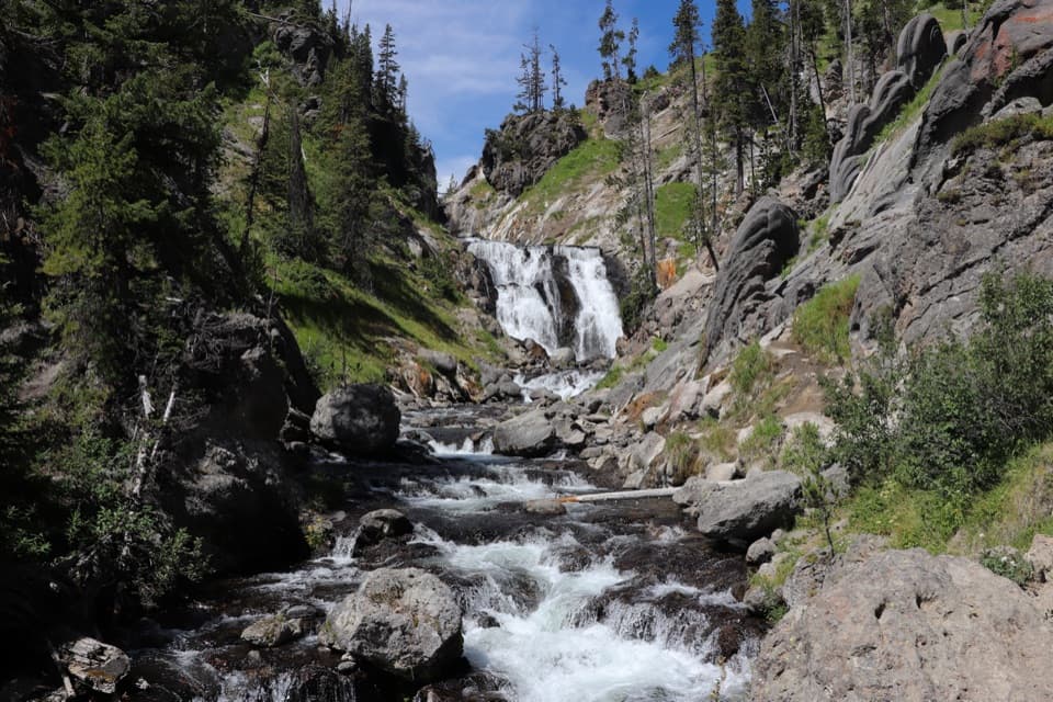 ModerateMystic Falls Trail2.4 mi · 2.5 hr · 0.3 mi awayA creekside forest walk to a 70-foot waterfall.
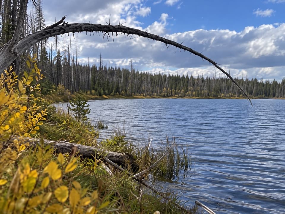 ChallengingSummit Lake Trail15.4 mi · 8.5 hr · 0.6 mi awayA long CDT walk to an alpine lake and backcountry hot springs.
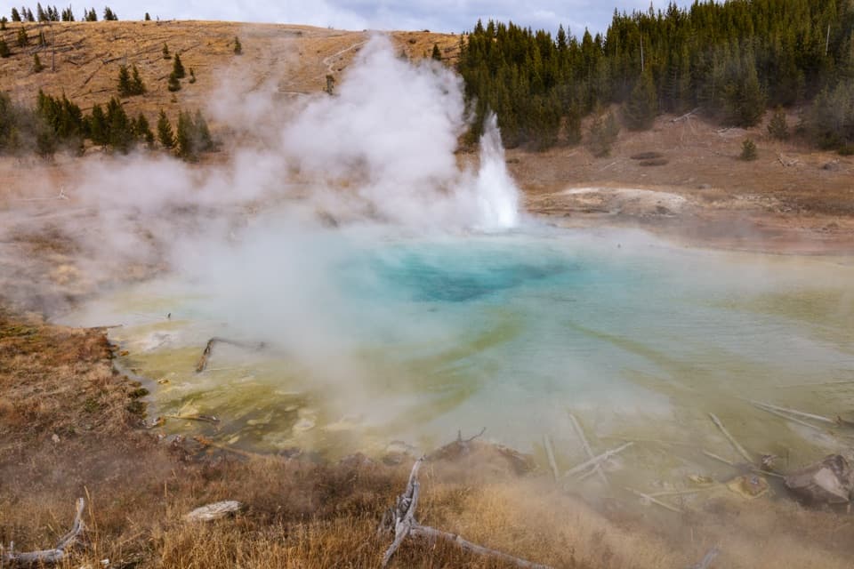 ChallengingFairy Creek Trail11.3 mi · 7.5 hr · 0.6 mi awayA long backcountry traverse from geyser views to Imperial Geyser.
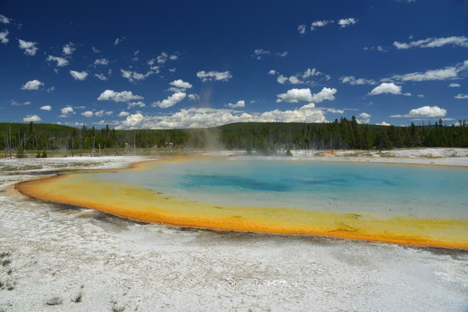 EasyBlack Sand Basin Trail0.5 mi · 30 min · 1.6 mi awayShort boardwalk spurs past colorful hot springs and geysers.
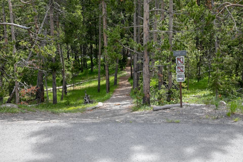 ModerateMallard Creek Trail8.6 mi · 4.5 hr · 1.8 mi awayBurned woods, rocky climbs, and a high outcrop above Mallard Lake.
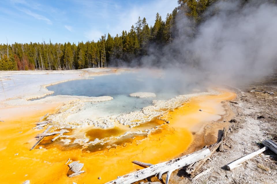 ModerateObservation Point–Solitary Geyser Loop1.9 mi · 2 hr · 2 mi awayA short climb trades switchbacks for Old Faithful from above.
 EasyOld Faithful to Morning Glory Pool Trail2.7 mi · 2 hr · 2 mi awayA level geyser walk ends at a spring changed by its visitors.
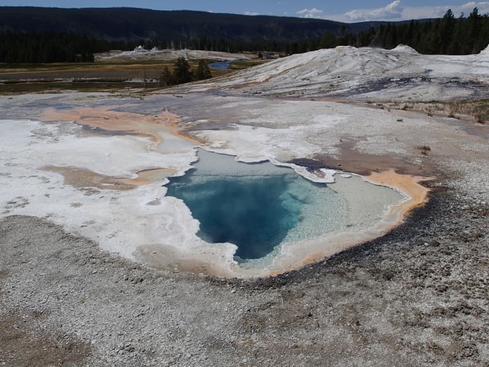 EasyGeyser Hill Loop Trail1.2 mi · 1 hr · 2.1 mi awayCompact boardwalk loop past geysers, vivid springs, and steaming runoff.
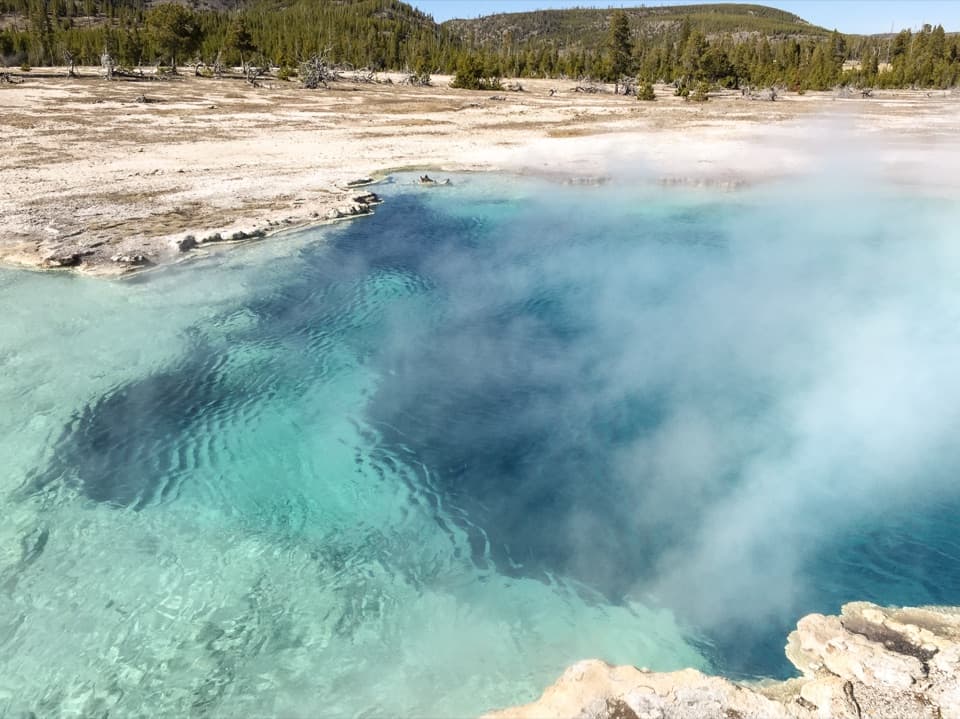 Sight · At the trailheadBiscuit BasinA short loop of colorful springs and a geyser that erupts often.
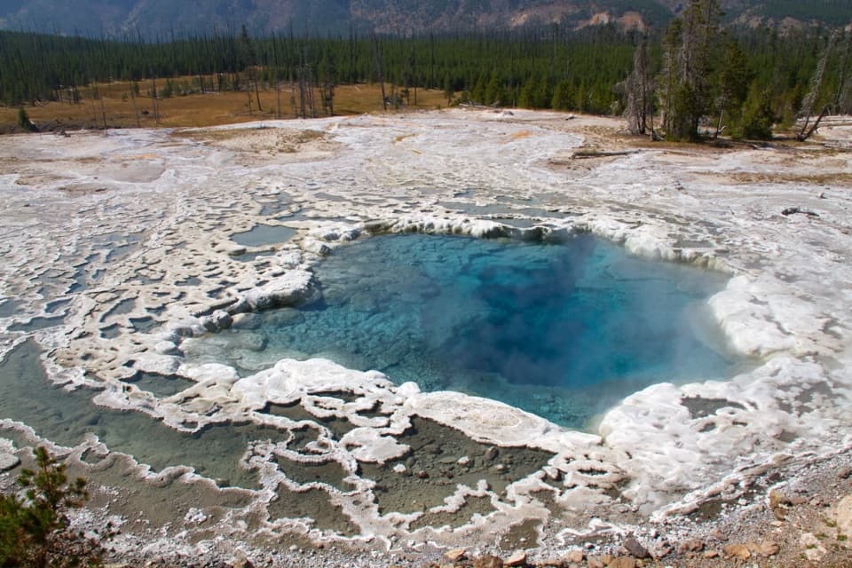 Sight · 0.5 mi awayArtemisia GeyserA deep blue pool that can erupt as a rolling boil.
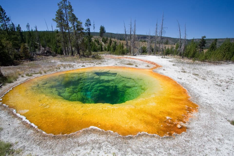 Sight · 0.8 mi awayMorning Glory PoolA vivid hot spring at the end of a worthwhile basin walk.
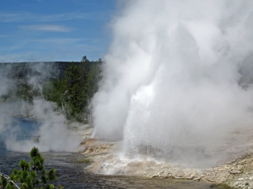 Sight · 0.9 mi awayFan and Mortar GeysersTwo riverbank geysers share a system; eruptions are a bonus.
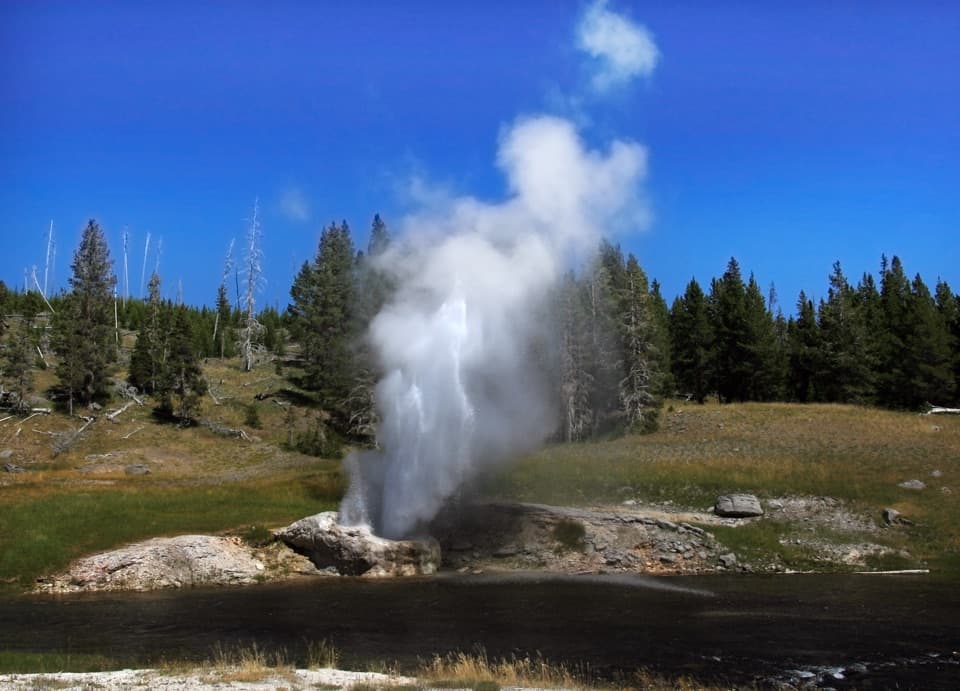 Sight · 1 mi awayRiverside GeyserRiverside sends its eruption arcing across the Firehole River.
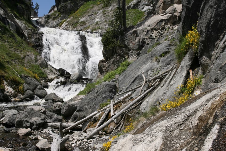 Sight · 1 mi awayMystic FallsA 70-foot waterfall with an optional climb to a basin view.
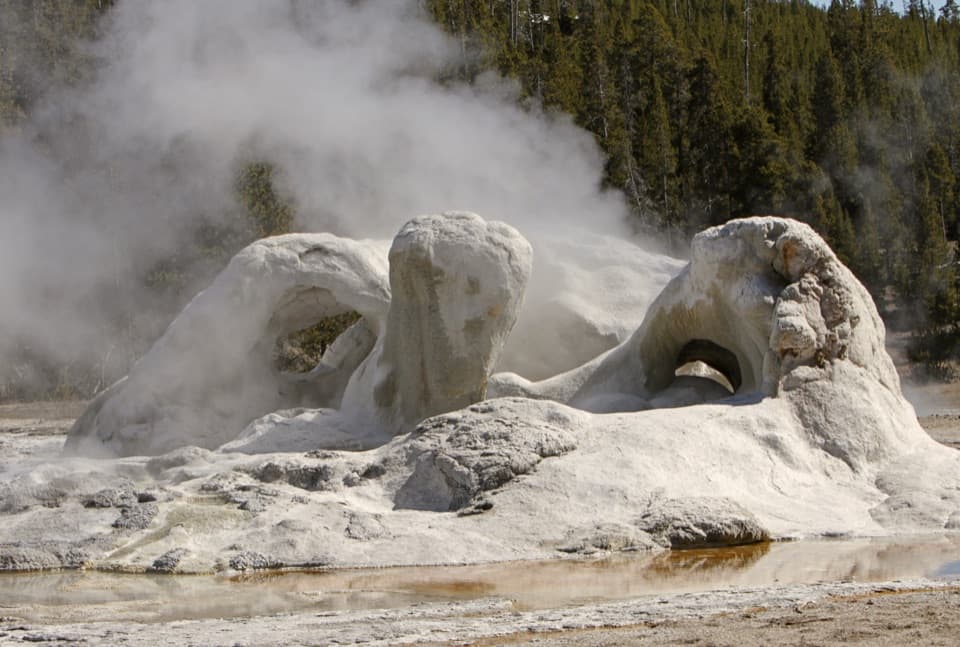 Sight · 1.1 mi awayGrotto GeyserThat twisted cone is worth a stop even between eruptions.
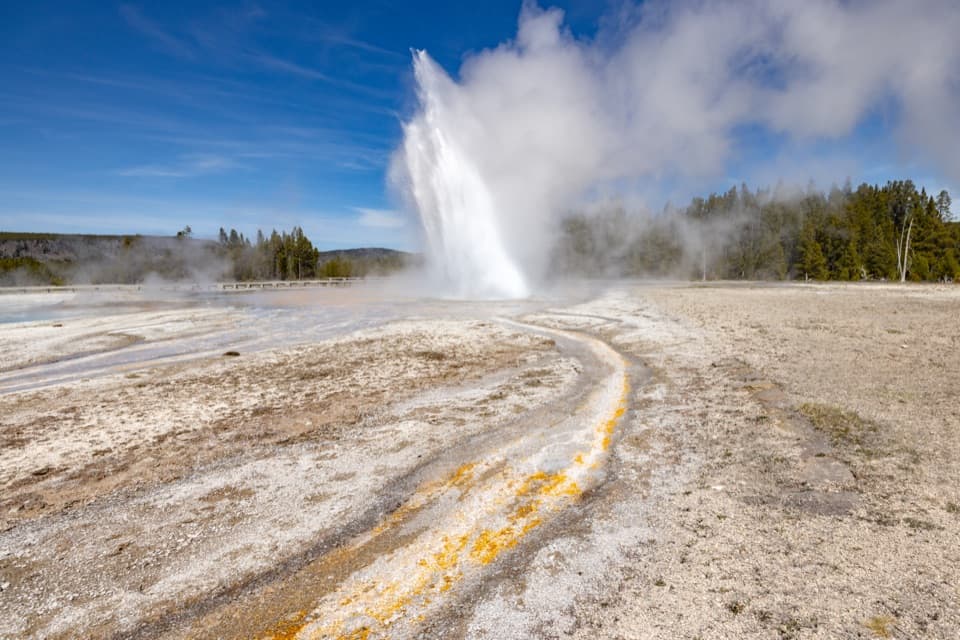 Sight · 1.1 mi awayDaisy GeyserA 75-foot geyser can shoot sideways across the basin.
Parkwolf’s Yellowstone ranking
The audio tour guide for the drive, plus offline maps, trails, and wildlife heatmaps for when the signal drops.




