Parking
There is no road-accessible parking or drive-up trailhead at the mapped start. The route begins at the Frost Lake–Lamar River junction in the backcountry; plan and verify a longer approach on a current park map.
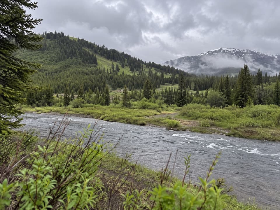
Yellowstone National Park, WY · MT · ID
A half-mile out-and-back makes a compact detour on a remote trek.
Overview
Map & elevation
Plan your hike

The highest, rockiest slopes around here are a summer buffet for grizzly bears.
Yellowstone Tour Guide
Parkwolf is a GPS audio tour guide for Yellowstone National Park. As you drive, it chimes in with what’s ahead: hidden gems, upcoming stops, history, geology, and wildlife, right through your car’s speakers.
See the Yellowstone audio tour“First time driving through a national park. We used the Yellowstone tour on grand loop Road and it’s just like having a tour guide in your car with you.”


Trail guide
The named Mist Lake path is a short out-and-back: follow a 0.28-mile mapped line between the Frost Lake–Lamar River junction and a Mist Creek connection, then return along it for about 0.55 mile total. Expect roughly 80 feet of climbing and about 15 minutes on this segment. That easy rating and time cover the spur only, not the longer approach from a road.
The line comes from an older GPS survey, which establishes its historical route but not its present marking or open status. No source confirmed that its far end reaches Mist Lake’s shoreline, so treat the name as a route label rather than a guaranteed lakeside payoff. The surface, crossings, and wayfinding are not documented.
There is no road-accessible trailhead at the mapped start; reach the junction on a separate backcountry route. The approach miles depend on the itinerary and are not included here. Check current Yellowstone backcountry maps and restrictions before setting out; Mist Lake-specific permit and seasonal rules were not confirmed. Pets are prohibited on hiking trails and in the backcountry, except service animals.
Wildlife
 713 sightingsGrizzly BearMost seen around 6 AMSighting map
 743 sightingsWolfMost seen around 6 AMSighting map
 5,273 sightingsBisonMost seen around 7 AMSighting map
 3,258 sightingsElkMost seen around 7 PMSighting map
 397 sightingsMooseMost seen around 7 PMSighting map
 1,494 sightingsBlack BearMost seen around 7 PMSighting map
Sighting maps show where each species has been reported across Yellowstone. Wildlife moves, so no sighting is guaranteed.
Keep exploring
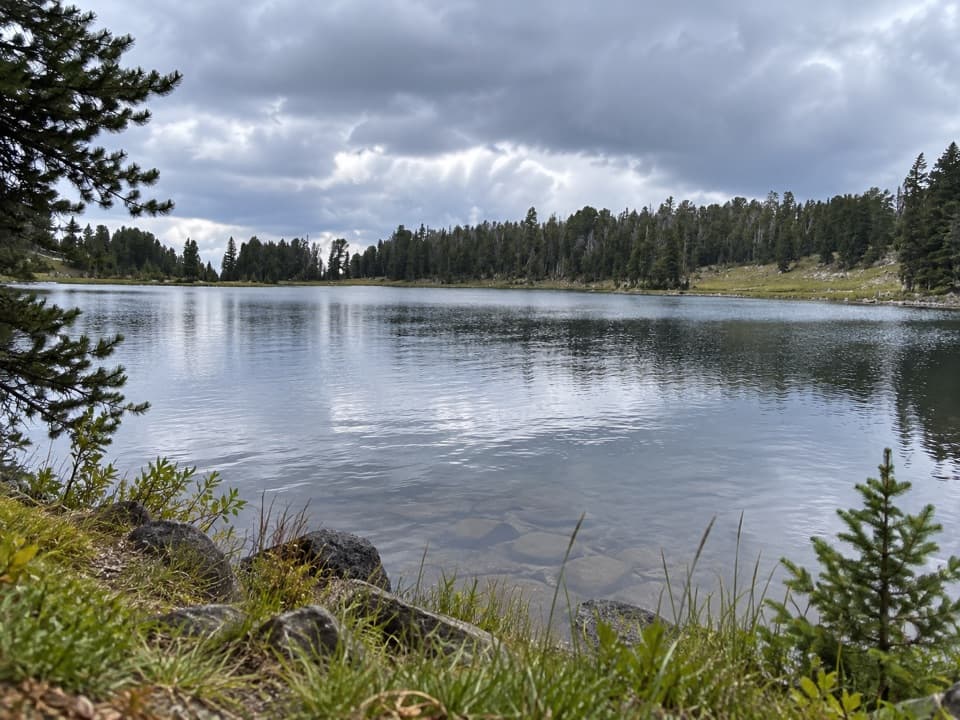 ChallengingFrost Creek Trail5.5 mi · 4.5 hr · 4 mi awayA high meadow opens to a wide view over Lamar Valley.
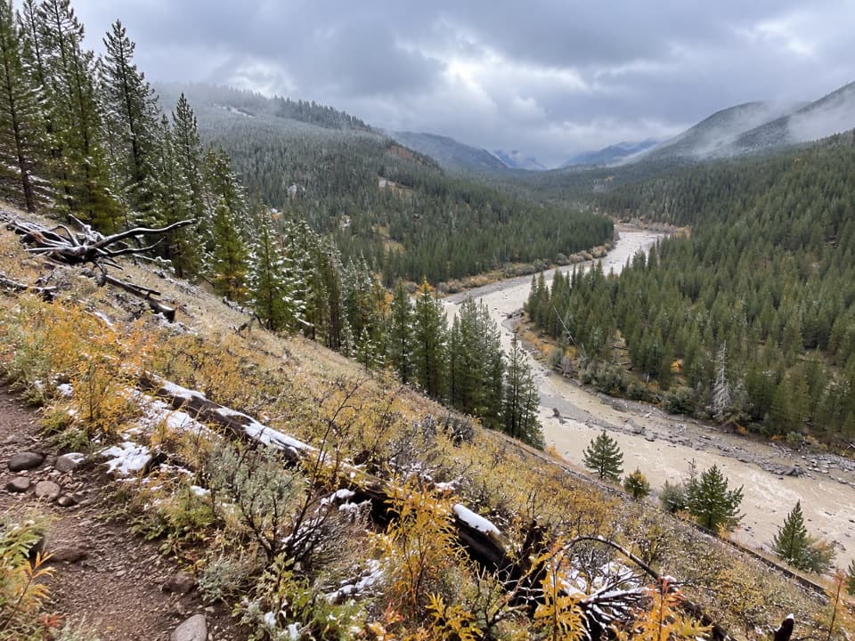 ModerateBootjack Gap Trail4.6 mi · 4 hr · 6.8 mi awayA high-country climb to a remote pass on Yellowstone’s eastern edge.
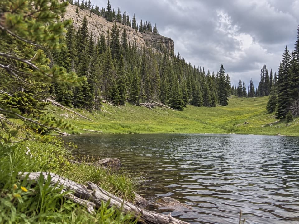 ChallengingCanoe Lake Trail3.9 mi · 3.5 hr · 6.8 mi awayA small lake rewards a steep climb through remote high country.
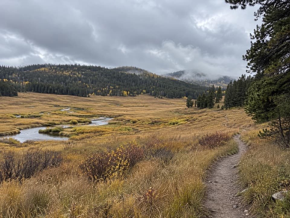 ModeratePelican Creek Trail9.2 mi · 5 hr · 9.4 mi awayA remote creekside walk through Yellowstone meadow country.
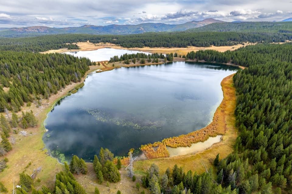 ChallengingAstringent Creek Trail9.1 mi · 6.5 hr · 11 mi awayA remote nine-mile connector between Pelican Valley and Wapiti trails.
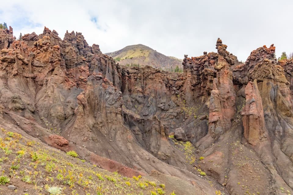 ChallengingHoodoo Basin Trail9.8 mi · 9 hr · 11.4 mi awayA high, remote traverse through a basin of hoodoo spires.
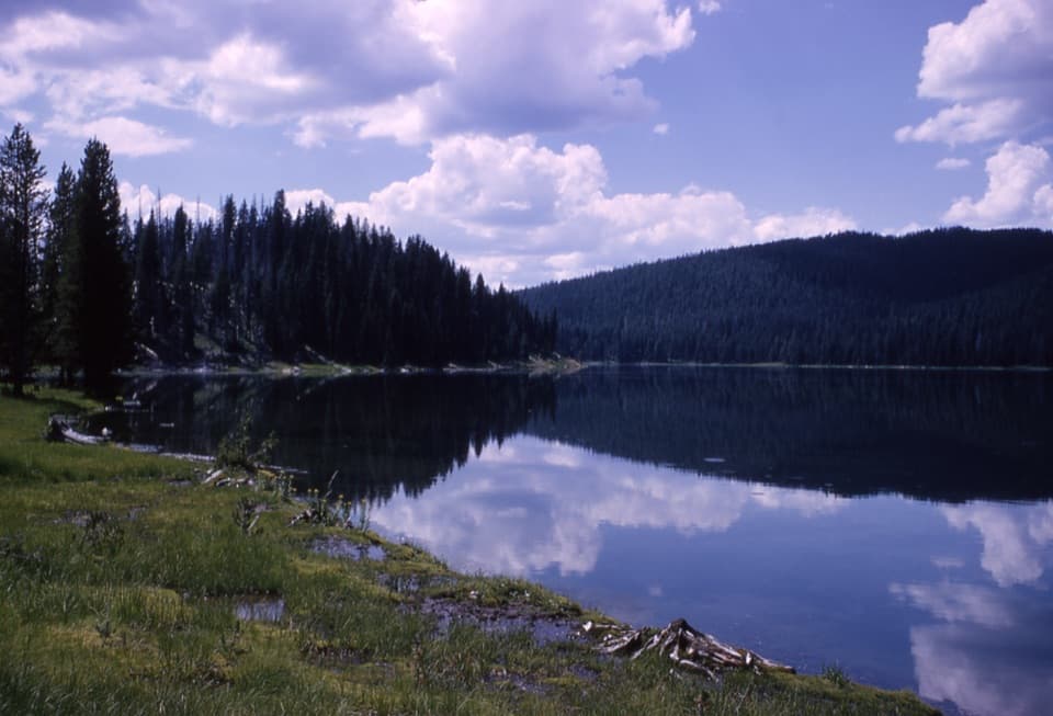 ModerateFern Lake Trail3.7 mi · 3 hr · 12.1 mi awayA remote 3.7-mile connector between two backcountry trails.
 ChallengingMist Creek Trail14.3 mi · 12 hr · 12.3 mi awayBear country, a high pass, then a long descent to the Lamar.
Parkwolf’s Yellowstone ranking

The audio tour guide for the drive, plus offline maps, trails, and wildlife heatmaps for when the signal drops.





