Parking
No road access or parking at Bootjack Gap Trailhead (3N3). Reach this remote backcountry junction from another route and plan your exit separately.
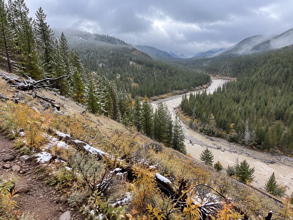
Yellowstone National Park, WY · MT · ID
A high-country climb to a remote pass on Yellowstone’s eastern edge.
Overview
Map & elevation
Plan your hike

The highest, rockiest slopes around here are a summer buffet for grizzly bears.
Yellowstone Tour Guide
Parkwolf is a GPS audio tour guide for Yellowstone National Park. As you drive, it chimes in with what’s ahead: hidden gems, upcoming stops, history, geology, and wildlife, right through your car’s speakers.
See the Yellowstone audio tour“First time driving through a national park. We used the Yellowstone tour on grand loop Road and it’s just like having a tour guide in your car with you.”


Trail guide
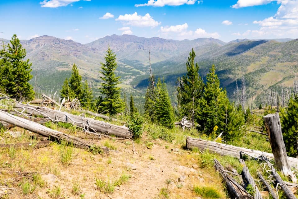
Bootjack Gap Trail is a 4.6-mile point-to-point backcountry route from remote Bootjack Gap Trailhead (3N3) to Bootjack Gap at Yellowstone’s eastern edge. It rises from about 7,600 to 9,200 feet, with roughly 1,700–1,800 feet of climbing. Allow about four hours for this segment. The mileage covers one direction only; this is a remote connector, not a loop or a roadside day hike.
The 3N3 trailhead has no road access, so the 4.6 miles do not include the approach or a return. A longer route from the Lamar River through Miller Creek reaches Bootjack Gap in about 11 miles; that figure belongs to the full approach, not this trail segment. Plan the connecting route and your exit on the current backcountry map before setting out.
This route reaches high, remote ground, so the climb, altitude and logistics matter more than the short mileage suggests. Yellowstone does not allow pets on hiking trails or in the backcountry. Overnight stays in the backcountry require a permit. Current route conditions and access details were not established here; check them before you go.
Wildlife
 713 sightingsGrizzly BearMost seen around 6 AMSighting map
 743 sightingsWolfMost seen around 6 AMSighting map
 5,273 sightingsBisonMost seen around 7 AMSighting map
 3,258 sightingsElkMost seen around 7 PMSighting map
 397 sightingsMooseMost seen around 7 PMSighting map
 1,494 sightingsBlack BearMost seen around 7 PMSighting map
Sighting maps show where each species has been reported across Yellowstone. Wildlife moves, so no sighting is guaranteed.
Keep exploring
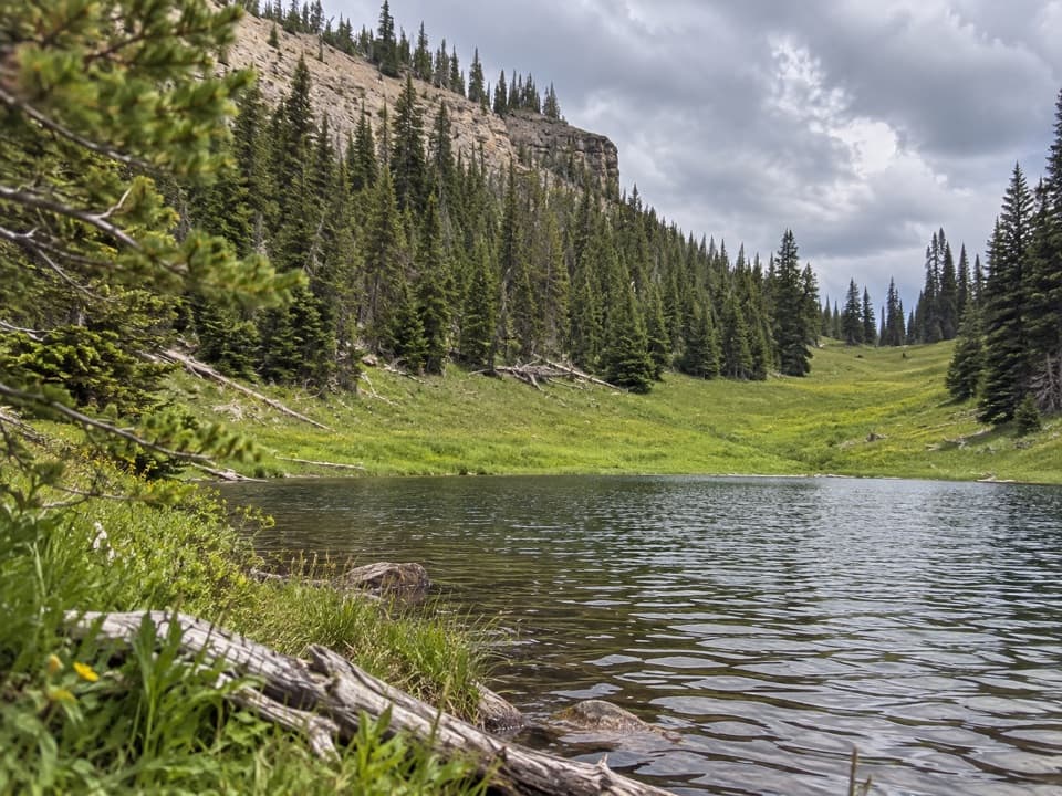 ChallengingCanoe Lake Trail3.9 mi · 3.5 hr · At the trailheadA small lake rewards a steep climb through remote high country.
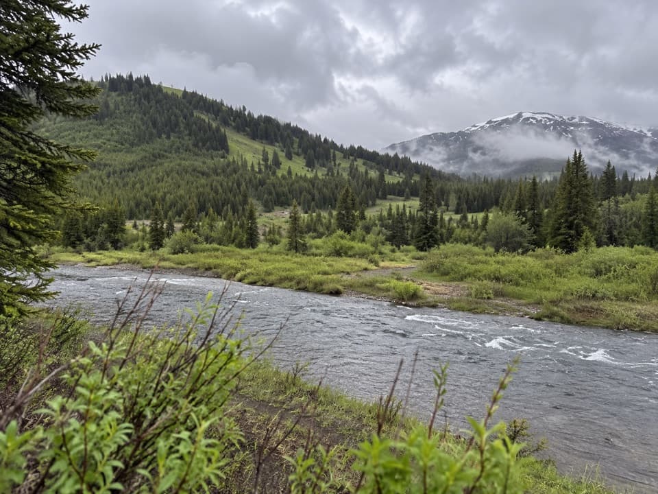 EasyMist Lake Trail0.6 mi · 15 min · 6.8 mi awayA half-mile out-and-back makes a compact detour on a remote trek.
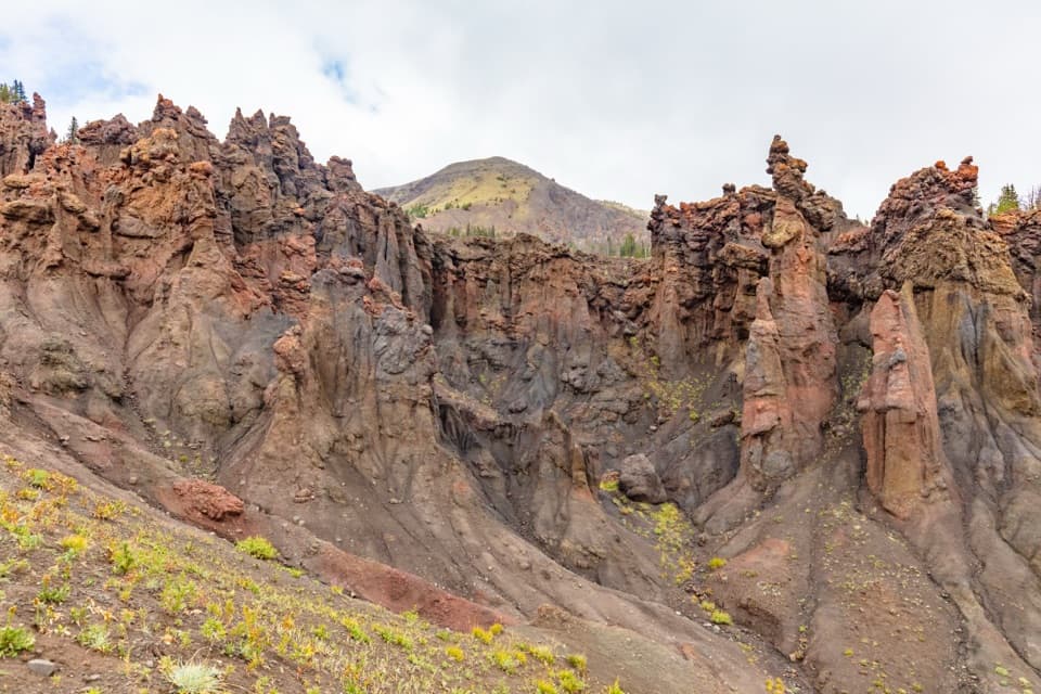 ChallengingHoodoo Basin Trail9.8 mi · 9 hr · 7.8 mi awayA high, remote traverse through a basin of hoodoo spires.
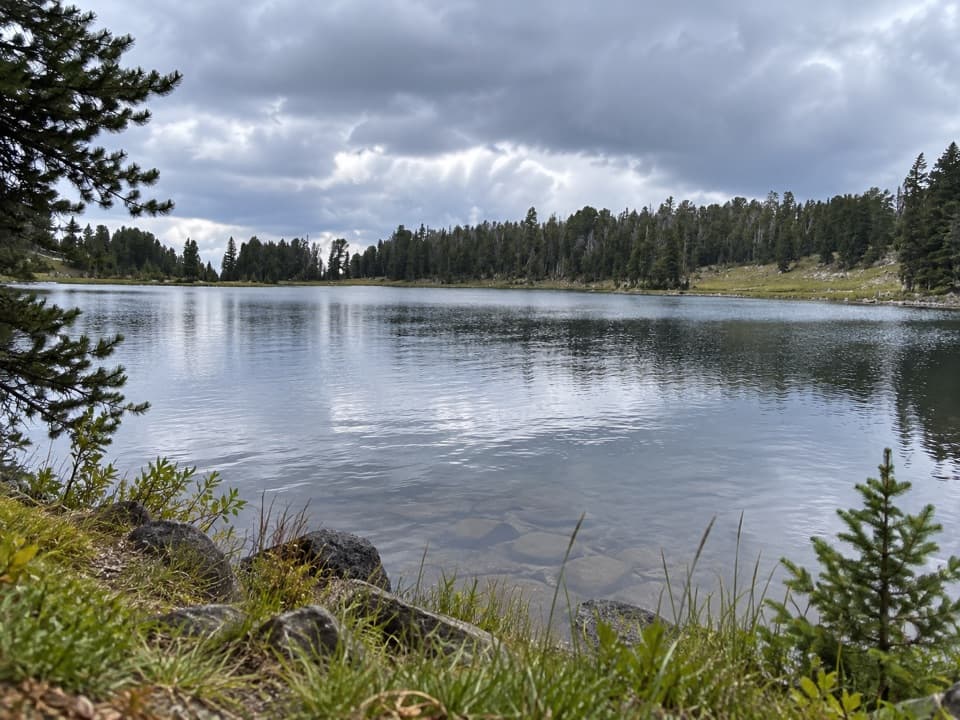 ChallengingFrost Creek Trail5.5 mi · 4.5 hr · 9.3 mi awayA high meadow opens to a wide view over Lamar Valley.
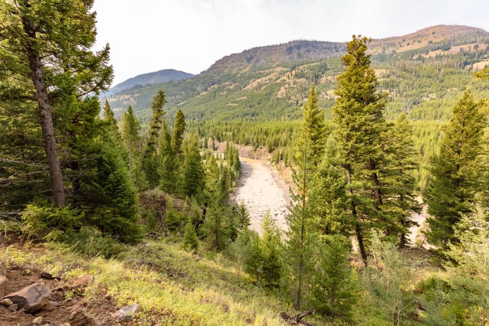 ChallengingLamar River Trail33 mi · 18 hr · 12.7 mi awayA 33-mile out-and-back along Lamar River to Cold Creek.
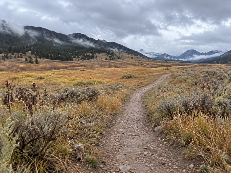 ChallengingCache Creek Trail37.6 mi · 18 hr · 12.7 mi awayA long, strenuous push from Lamar Valley into high backcountry.
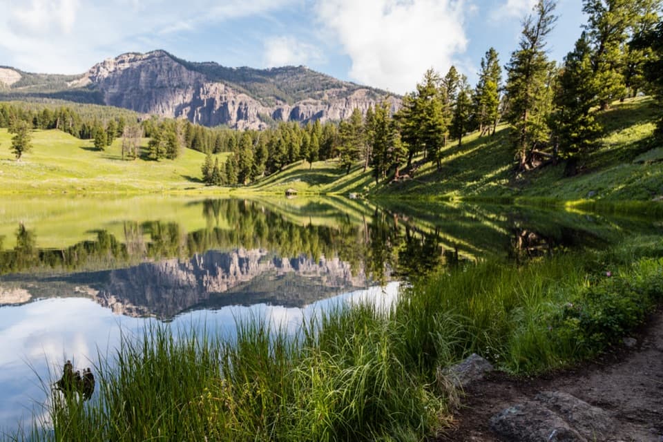 ModerateTrout Lake Trail1.2 mi · 1.5 hr · 12.7 mi awayA steep climb leads to a still lake beneath rugged peaks.
 ChallengingThunderer Cutoff Trail9.8 mi · 6.5 hr · 13.3 mi awayA lonely climb to Chaw Pass and the Cache Creek backcountry.
Parkwolf’s Yellowstone ranking

The audio tour guide for the drive, plus offline maps, trails, and wildlife heatmaps for when the signal drops.





