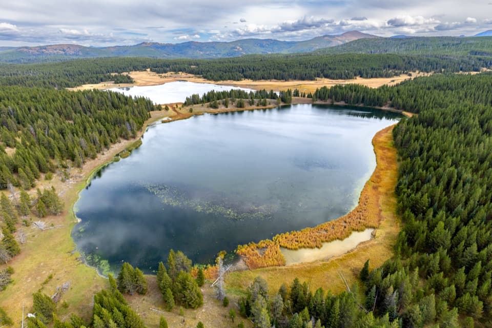
Astringent Creek Trail in Yellowstone National Park

Yellowstone National Park, WY · MT · ID

Astringent Creek Trail

A remote nine-mile connector between Pelican Valley and Wapiti trails.

Photo: Flickr
Length
9.1mi
Time
6.5hr
Elev. change
390ft
Difficulty
Challenging
  • No dogs
  • High point 8,281 ft
Parkwolf audio tour243 stories across Yellowstone’s roads

Overview

About Astringent Creek Trail

Why go

  • A continuous backcountry route between Pelican Valley and the Wapiti Lake trail network.
  • Passes through a distinctive creek and lake corridor near Tern Lake.

Heads up

  • The 9.1-mile route is one way and has no road access at either end.
  • Getting to its southern junction adds about 4.4 miles from parking, before planning a return.

Map & elevation

The route

Loading the Yellowstone map
Full map
Elevation7,890–8,281 ft
TrailheadAstringent Creek Trail south junction with Pelican Valley Trail44.59320, -110.24593
Keep this map with you offline in the Parkwolf app

Plan your hike

Before you go

Parking

Park at Pelican Valley Trailhead, at the end of the gravel access road about three miles east of Fishing Bridge Visitor Center. The Astringent Creek line starts about 4.4 miles farther along Pelican Valley Trail; there is no road parking at that junction. Its northern end joins the Wapiti Lake trail network, so arrange an onward or return route before starting.

Safety

This is remote, high-elevation backcountry. The Pelican Valley approach is subject to Bear Management Area restrictions: closed April 1–July 3, then day use only from 9 a.m. to 7 p.m. July 4–November 10. Yellowstone recommends groups of four or more in that area; stay on established trails and check current access before going.

5 active Yellowstone alerts

  • ClosureBiscuit Basin closed after hydrothermal explosionBiscuit Basin’s parking lot, boardwalk, and Firehole River are closed to all travel.Official details
  • ClosureMost Yellowstone roads close to regular vehicles November 1Most Yellowstone roads and the West, South, and East entrances are scheduled to close to regular vehicles November 1, 2026, as the park prepares for winter operations.Official details
See all 5 alerts
A park ranger sits on a dash-mounted phone, talking, as Parkwolf’s Tour Guide plays “Army Cutworm Moths: A Grizzly Bear Buffet” on Grand Loop Road below Dunraven Pass in Yellowstone
Parkwolf Tour GuideThe highest, rockiest slopes around here are a summer buffet for grizzly bears.

Yellowstone Tour Guide

Hear Yellowstone as you drive it.

Parkwolf is a GPS audio tour guide for Yellowstone National Park. As you drive, it chimes in with what’s ahead: hidden gems, upcoming stops, history, geology, and wildlife, right through your car’s speakers.

See the Yellowstone audio tour

More stories near here in the app

  • The Blast That Made Indian Pond
  • Pelican Valley Trailhead
  • What a Swan Stirs Up
  • Storm Point Trailhead at Indian Pond
  • 243 audio storiesacross Yellowstone’s roads, triggered by GPS as you drive
  • Wildlife heatmapsfor Wolf, Grizzly Bear, Bison, and 13 more
  • Works offlinemaps, 167 trails, 192 places, and audio download before you lose signal
  • CarPlay readysimple controls built for the drive
★★★★★
“First time driving through a national park. We used the Yellowstone tour on grand loop Road and it’s just like having a tour guide in your car with you.”
Jyg5001App Store review
Download Parkwolf on the App StoreGet Parkwolf on Google Play

4.7 from 8,600+ ratings

Trail guide

Hiking Astringent Creek Trail

A long one-way connectorAstringent Creek Trail is a 9.

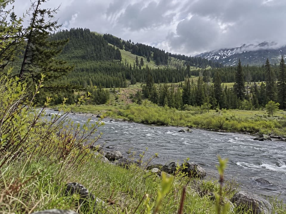
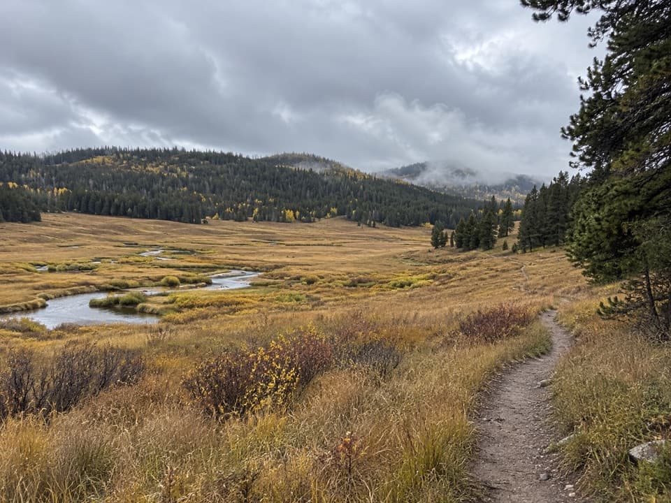
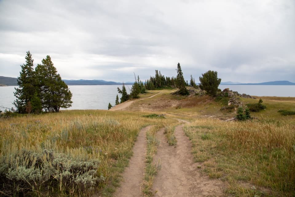
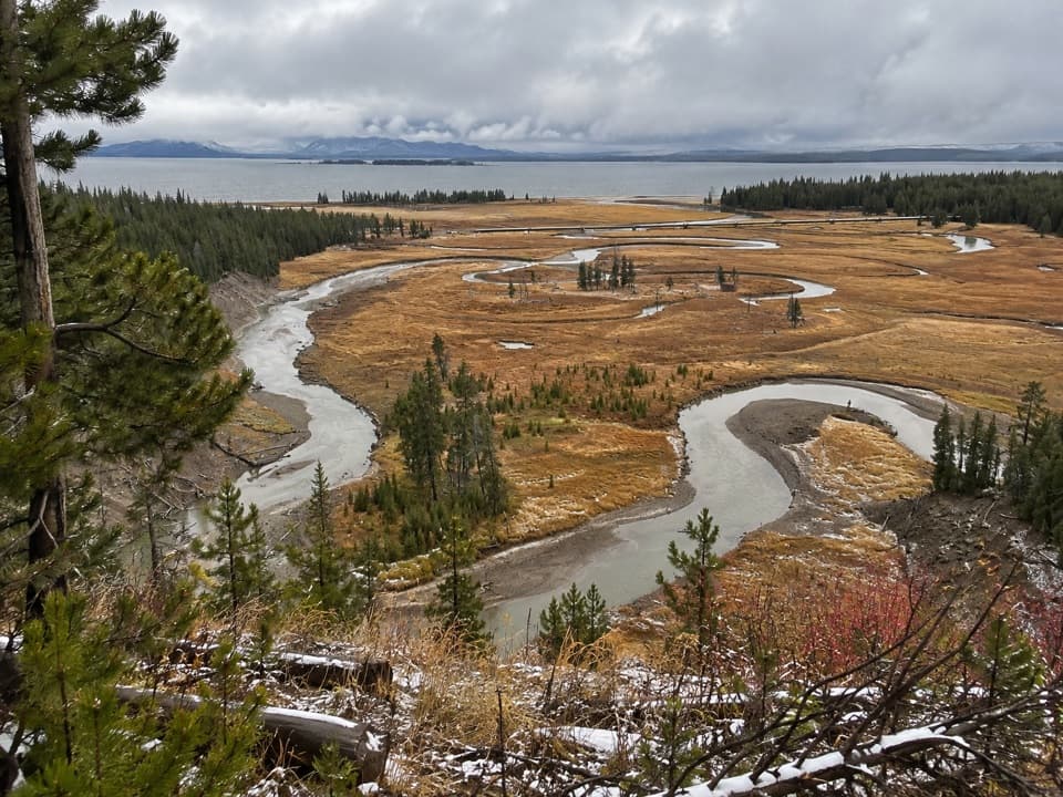
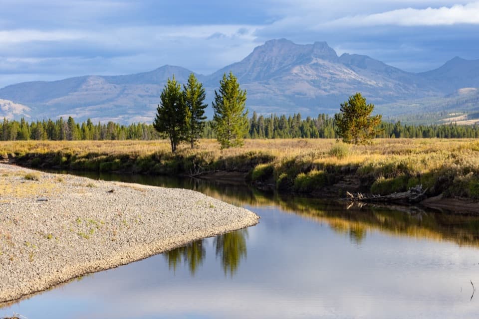
Astringent Creek Trail is a 9.1-mile one-way backcountry connector from the Pelican Valley Trail junction to the Wapiti Lake trail network. Its line follows the Astringent and Broad Creek corridor near White, Tern and Fern lakes. It is a through-route, not a loop; the saved distance covers only the connector, not the approach from a road or your return. Allow about 6.5 hours for the connector itself. It stays around 7,900–8,300 feet, so its length and remoteness matter more than a sustained climb.

Getting onto the routeThe practical southern access is Pelican Valley Trailhead, at the end of the gravel road about…

The practical southern access is Pelican Valley Trailhead, at the end of the gravel road about three miles east of Fishing Bridge Visitor Center. The Astringent Creek section begins about 4.4 miles farther along Pelican Valley Trail. From the parking area to the connector’s northern junction is about 13.6 miles one way; the mapped line does not include a return or onward route. Plan how you will exit before setting out. The Pelican Valley approach is closed April 1–July 3 and is day-use only, 9 a.m.–7 p.m., July 4–November 10. Yellowstone recommends groups of four or more in this bear-management area. Pets are not allowed on park trails.

The lake corridorThe connector runs through creek and meadow country close to White, Tern and Fern lakes, but it…

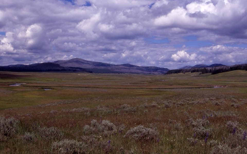
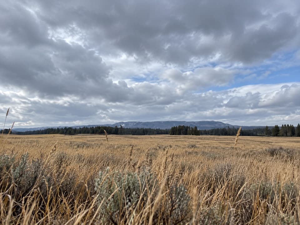
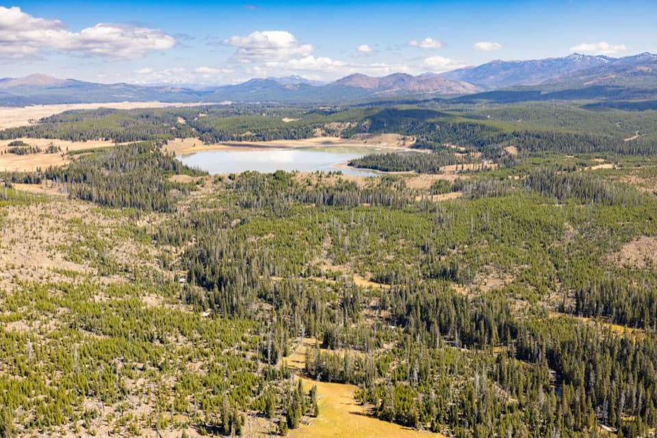
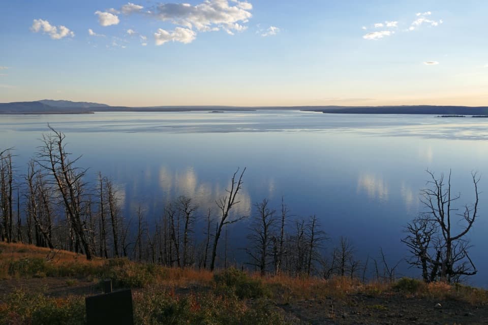
The connector runs through creek and meadow country close to White, Tern and Fern lakes, but it does not trace their shorelines. Tern Lake is the signature landmark: from the trail, the lake opens against marsh meadow, forest and distant ridges. A shorter Tern Lake outing is also described from the Pelican Valley corridor, but its endpoints and distance convention are unclear; that shorter figure does not describe this full connector.

Wildlife

Wildlife in Yellowstone

All Yellowstone wildlife maps

Sighting maps show where each species has been reported across Yellowstone. Wildlife moves, so no sighting is guaranteed.

Keep exploring

Near Astringent Creek Trail

See it all on the map

Trails that start nearby

Places near the trailhead

Parkwolf’s Yellowstone ranking

Top-rated trails in Yellowstone

All 167 trails
  1. 1Old Faithful to Morning Glory Pool TrailEasy · 2.7 mi
  2. 2Grand Prismatic Overlook TrailEasy · 1.6 mi
  3. 3Dunraven Pass–Mount Washburn TrailChallenging · 7 mi
  4. 4Midway Geyser Basin TrailEasy · 0.7 mi
  5. 5Brink of the Lower Falls TrailChallenging · 0.7 mi
  6. 6Fairy Falls TrailEasy · 4.5 mi

Take Parkwolf to Yellowstone.

The audio tour guide for the drive, plus offline maps, trails, and wildlife heatmaps for when the signal drops.

4.7 from 8,600+ ratings

Download Parkwolf on the App StoreGet Parkwolf on Google Play