Parking
Use the Soda Butte / Lamar River Trailhead (3K1) on Northeast Entrance Road; the large lot is the road access for the backcountry approach, not the Canoe Lake Trail itself.
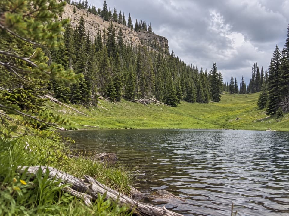
Yellowstone National Park, WY · MT · ID
A small lake rewards a steep climb through remote high country.
Overview
Map & elevation
Plan your hike

The highest, rockiest slopes around here are a summer buffet for grizzly bears.
Yellowstone Tour Guide
Parkwolf is a GPS audio tour guide for Yellowstone National Park. As you drive, it chimes in with what’s ahead: hidden gems, upcoming stops, history, geology, and wildlife, right through your car’s speakers.
See the Yellowstone audio tour“First time driving through a national park. We used the Yellowstone tour on grand loop Road and it’s just like having a tour guide in your car with you.”


Trail guide
Canoe Lake Trail is a 3.86-mile one-way point-to-point route from the Miller Creek Trail junction to Yellowstone’s eastern boundary. It gains about 1,690 feet; allow roughly three to four hours for this segment. Canoe Lake appears near mile 3.75, and the mapped path continues about a quarter mile to the boundary. The lake is small, but the high ridge and open shoreline make a satisfying destination.
That 3.86 miles is only the named trail. To reach its start from a road, use the Soda Butte / Lamar River Trailhead and continue on foot along the Lamar River and Miller Creek trails. One route description puts that approach at about 15.4 miles before Canoe Lake Trail, or roughly 38.5 miles round trip if you retrace the whole route. Published Miller Creek distances differ, so confirm the itinerary with a backcountry ranger. Treat this as an expedition-length backcountry trip, not a day hike.
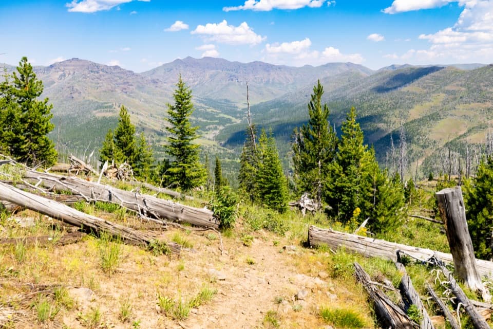
From the Miller Creek junction, the trail climbs an open ridge, gaining about 700 feet in its first mile. The grade eases after that as the tread enters forest. This is the steepest part of the named segment, and the high elevation adds to the effort.
For several miles the path runs above Calfee Creek through forest, with only occasional views down to the water. In the final mile the trees thin and the surrounding ridges open up. Canoe Lake sits in a small meadow beneath a rocky, forested slope; the trail passes it and continues to the boundary. From the shore, keep some water in the foreground to show the lake against the pale ridge.
This is grizzly country. The National Park Service recommends hiking in a group of three or more and carrying bear spray. Pets are prohibited on park trails. A backcountry permit is required if you camp overnight, which is likely for the full road-to-lake trip.
Wildlife
 713 sightingsGrizzly BearMost seen around 6 AMSighting map
 743 sightingsWolfMost seen around 6 AMSighting map
 5,273 sightingsBisonMost seen around 7 AMSighting map
 3,258 sightingsElkMost seen around 7 PMSighting map
 397 sightingsMooseMost seen around 7 PMSighting map
 1,494 sightingsBlack BearMost seen around 7 PMSighting map
Sighting maps show where each species has been reported across Yellowstone. Wildlife moves, so no sighting is guaranteed.
Keep exploring
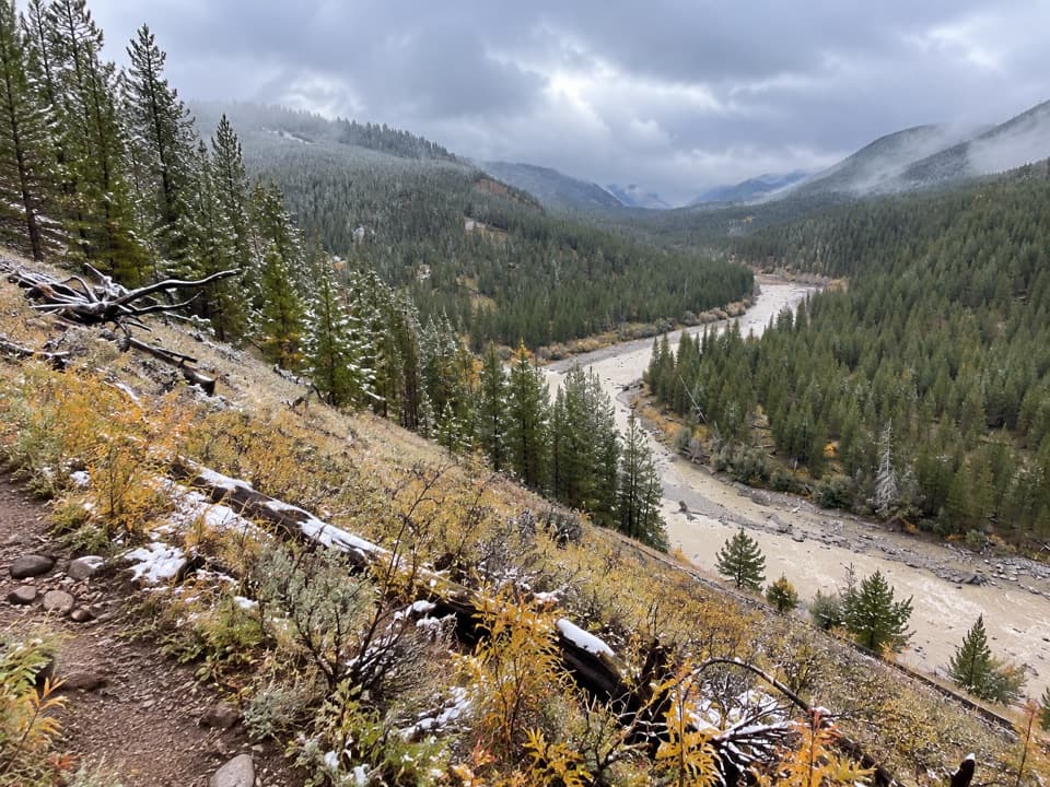 ModerateBootjack Gap Trail4.6 mi · 4 hr · At the trailheadA high-country climb to a remote pass on Yellowstone’s eastern edge.
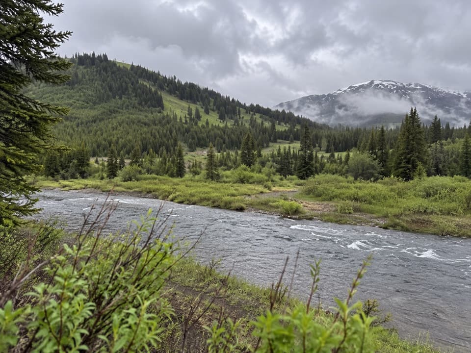 EasyMist Lake Trail0.6 mi · 15 min · 6.8 mi awayA half-mile out-and-back makes a compact detour on a remote trek.
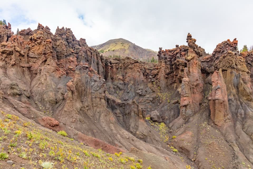 ChallengingHoodoo Basin Trail9.8 mi · 9 hr · 7.8 mi awayA high, remote traverse through a basin of hoodoo spires.
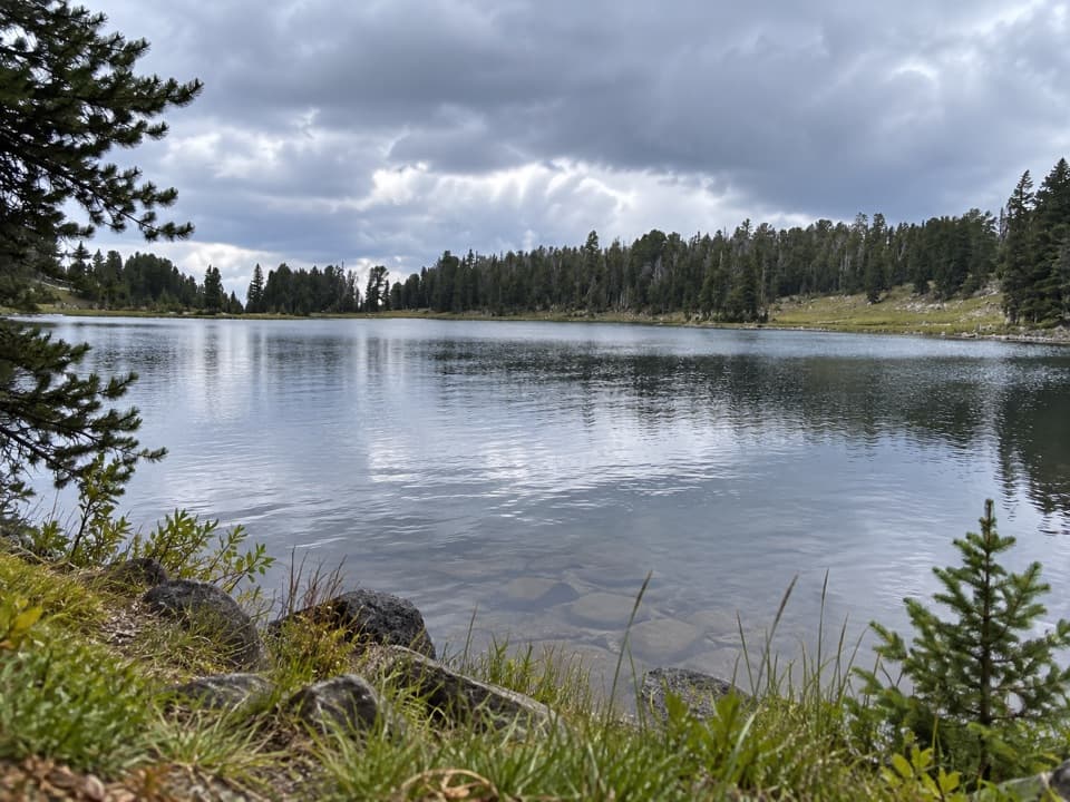 ChallengingFrost Creek Trail5.5 mi · 4.5 hr · 9.3 mi awayA high meadow opens to a wide view over Lamar Valley.
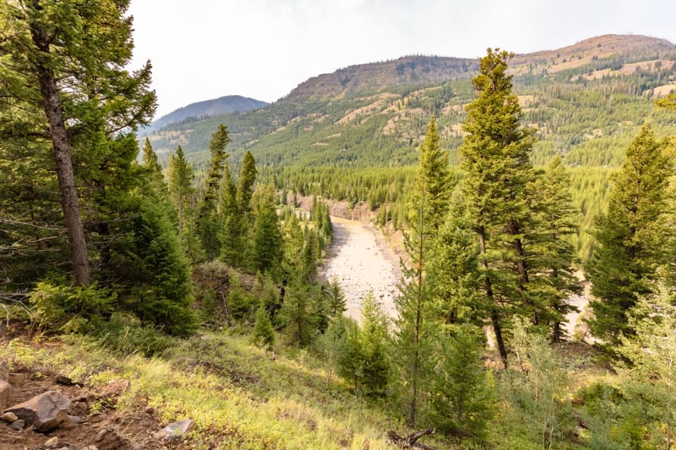 ChallengingLamar River Trail33 mi · 18 hr · 12.7 mi awayA 33-mile out-and-back along Lamar River to Cold Creek.
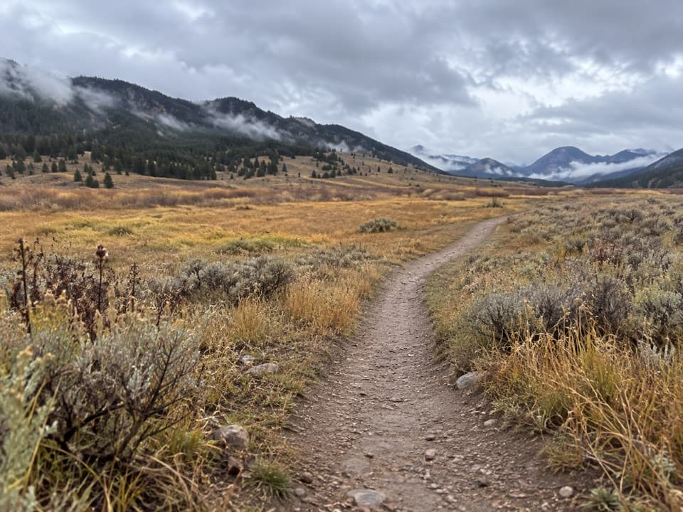 ChallengingCache Creek Trail37.6 mi · 18 hr · 12.7 mi awayA long, strenuous push from Lamar Valley into high backcountry.
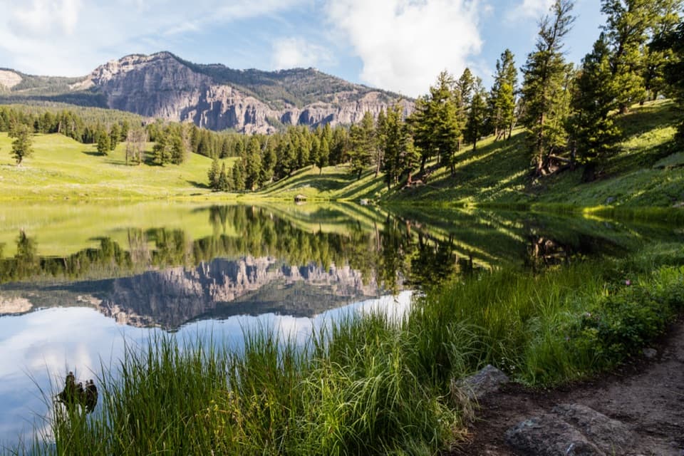 ModerateTrout Lake Trail1.2 mi · 1.5 hr · 12.7 mi awayA steep climb leads to a still lake beneath rugged peaks.
 ChallengingThunderer Cutoff Trail9.8 mi · 6.5 hr · 13.3 mi awayA lonely climb to Chaw Pass and the Cache Creek backcountry.
Parkwolf’s Yellowstone ranking

The audio tour guide for the drive, plus offline maps, trails, and wildlife heatmaps for when the signal drops.





