
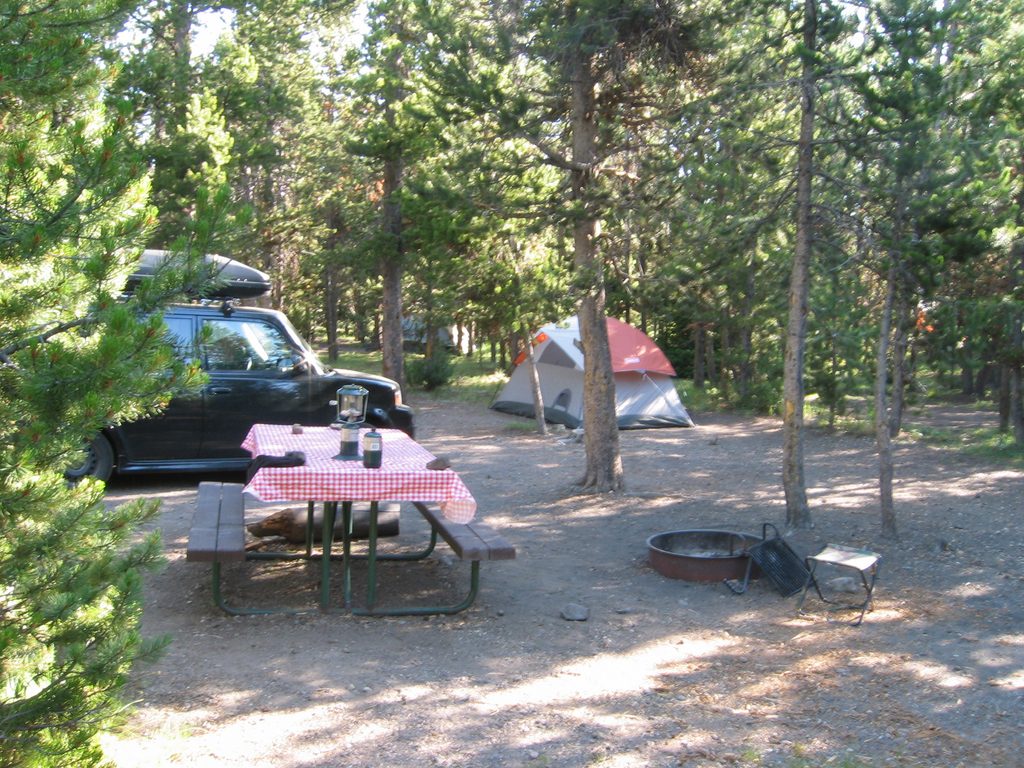
Place · 0.4 mi away
Easy
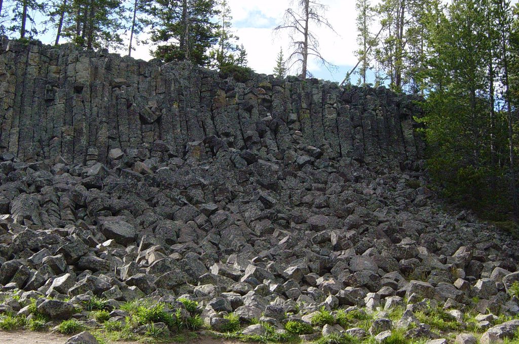
A short, unmarked ramble with big geology payoff, Sheepeater Cliff Trail follows the Gardner River to textbook columnar basalt and a tight river "chute". Expect a very easy outing with a few rough edges. The common walk is about 0.9 miles total (out-and-back) with roughly 36 feet of gain. Many visitors linger to picnic and scramble on the blocky talus at the base of the columns, or continue farther along the informal path.
Start at the picnic area and head along the riverside path. The Gardner River keeps you company as the basalt columns rise in striking, mostly hexagonal stacks. If you keep going, you’ll reach a narrowed section where the river squeezes through a short drop often called “the Chute” (some refer to the drop as Tukuarika Falls). Depending on where you turn around, you’ll do roughly 0.5–1.8 miles total.
Although easy, this is not a manicured path: expect rocky footing, narrow/brushy stretches, occasional deadfall, and sections that can be washed out or messy after high water. Keep kids close near the river and cliff edges. This is bear country—carry bear spray, make noise, and give wildlife space (100 yards from bears/wolves; 25 yards from others). No pets on this trail.
Sheepeater Cliff is a classic example of columnar basalt—those neat, mostly hexagonal columns formed as a basalt lava flow cooled and cracked. The Gardner River later carved into the rock to reveal the columns. The name honors the Tukudeka ("Sheepeaters"), a band of the Eastern Shoshone historically associated with this region.
There’s a small-to-medium gravel lot, picnic tables, and restrooms right at the trailhead, making this an easy stop for families. If you want a longer wander, continue past the chute to see more river scenery and additional columns; just be prepared for a faint, unmaintained path. In winter, this area serves as a starting point for the easy, scenic Sheepeater Ski Trail; access generally requires over-snow transport.
Spring through fall is best. Spring runoff makes the chute most dramatic, but can also brush in or temporarily wash out bits of the path—wear sturdy footwear. This spot is often quieter than Yellowstone’s headline attractions; starting early further improves solitude. For more columnar formations in the park, consider nearby Obsidian Cliff or the Calcite Springs area.
Small-to-medium gravel lot at the end of Sheepeater Cliff Road (~0.3 mi off the Grand Loop), about 8 mi south of Mammoth or 13 mi north of Norris; free parking. Picnic tables and restrooms adjacent.
Rocky, narrow, and brushy in places with seasonal washouts near the river; keep children close near cliff edges, carry bear spray, and maintain required wildlife distances. No pets.
Place · 0.4 mi away
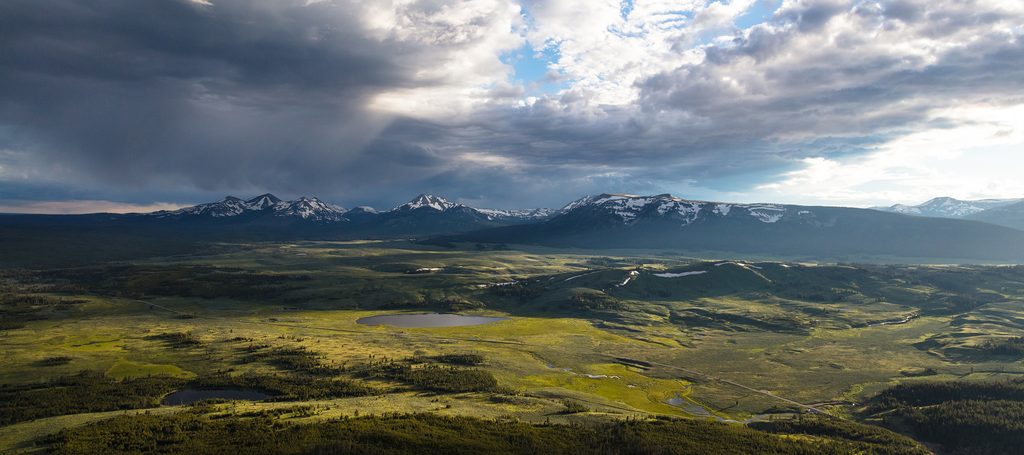
Place · 1.4 mi away
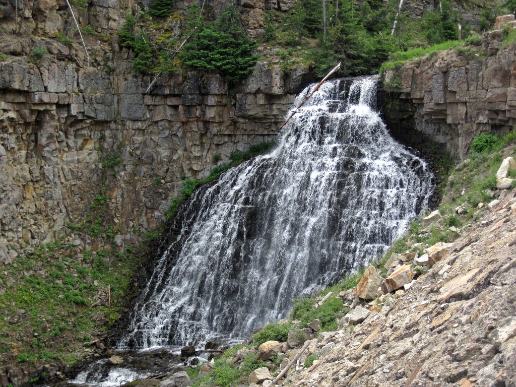
Place · 3 mi away
Place · 3 mi away
Moderate · 2.8 mi away
Challenging · 2.8 mi away
Moderate · 2.8 mi away
Challenging · 2.9 mi away

Parkwolf Tour Guide
