Parking
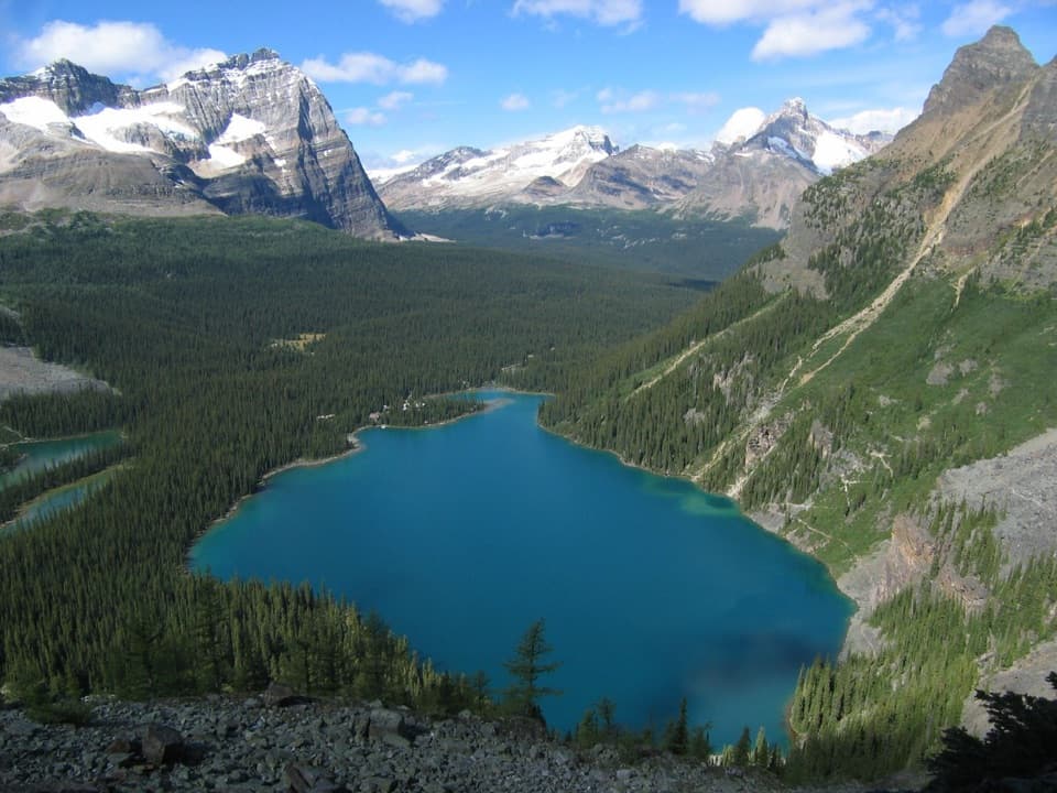
Start at Emerald Lake parking lot, 10 km west of Field via the Trans-Canada Highway and Emerald Lake Road. It fills early in summer and on weekends. The Natural Bridge parking area is the pickup point at the other end.

Yoho National Park, BC
A shaded river walk ending at a natural stone bridge
Overview
Map & elevation
Plan your hike

The highest, rockiest slopes around here are a summer buffet for grizzly bears.
Yoho Tour Guide
Parkwolf is a GPS audio tour guide for Yoho National Park. As you drive, it chimes in with what’s ahead: hidden gems, upcoming stops, history, geology, and wildlife, right through your car’s speakers.
See the Yoho audio tourRecorded for this trailhead
Emerald Lake: Shore, Colour and Lunch“You're approaching Emerald Lake, where a short, level walk to the bridge brings you to the blue-green water and its mountain backdrop. Stop even if you haven't got time for a hike.”
Plays as you drive up to this trailhead in the Parkwolf Yoho Tour Guide.
More stories near here in the app
“Fantastic app with many points of information… It’s great to just turn on while you’re driving and it gives you an audio tour of the national Park. We love it!!!!”


Trail guide
Emerald River Trail is a moderate 9 km point-to-point walk from Emerald Lake parking to Natural Bridge, following a shaded riverside route. Allow about 3½ hours one way. Walking back to your car makes it 18 km; budget around seven hours, or arrange a pickup at Natural Bridge for the through-hike.
The trail stays in the trees beside the river, with narrow and steep sections. It gains 250 m and loses 335 m overall, so expect some climbing between lower stretches. If you want a shorter walk that returns to its start, Emerald Lakeshore is a 5.2 km loop with minimal climbing.
At Natural Bridge, the Kicking Horse River surges beneath a natural stone bridge. The river got its name during an 1858 expedition, when explorer James Hector was knocked down by a kick from his packhorse, an incident that nearly killed him. The bridge and rushing water make a memorable finish to the walk.
Start at the Emerald Lake parking lot, 10 km west of Field via the Trans-Canada Highway and Emerald Lake Road. The lot fills early in summer and on weekends, so keep a backup plan. For a one-way walk, arrange pickup at the Natural Bridge parking area. Dogs can join but must stay leashed and under control.
Wildlife
 21 sightingsGrizzly BearMost seen around 6 AMSighting map
 55 sightingsMountain GoatMost seen around 8 AMSighting map
 61 sightingsBlack BearMost seen around 8 PMSighting map
 66 sightingsElkMost seen around 7 PMSighting map
 26 sightingsMooseMost seen around 6 AMSighting map
 10 sightingsBald EagleMost seen around 7 AMSighting map
Sighting maps show where each species has been reported across Yoho. Wildlife moves, so no sighting is guaranteed.
Keep exploring
 EasyEmerald Lakeshore Trail5.2 km · 2 hr · At the trailheadGlacier views from a nearly level loop beside turquoise water.
 ModerateEmerald Basin Trail9.6 km · 3.5 hr · At the trailheadA rocky basin rewards the steep climb beyond Emerald Lake.
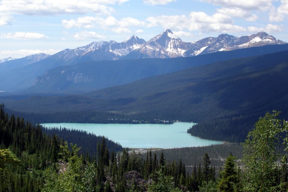 ChallengingEmerald Triangle18.8 km · 8 hr · At the trailheadAn alpine day loop with Emerald Lake views from the highline.
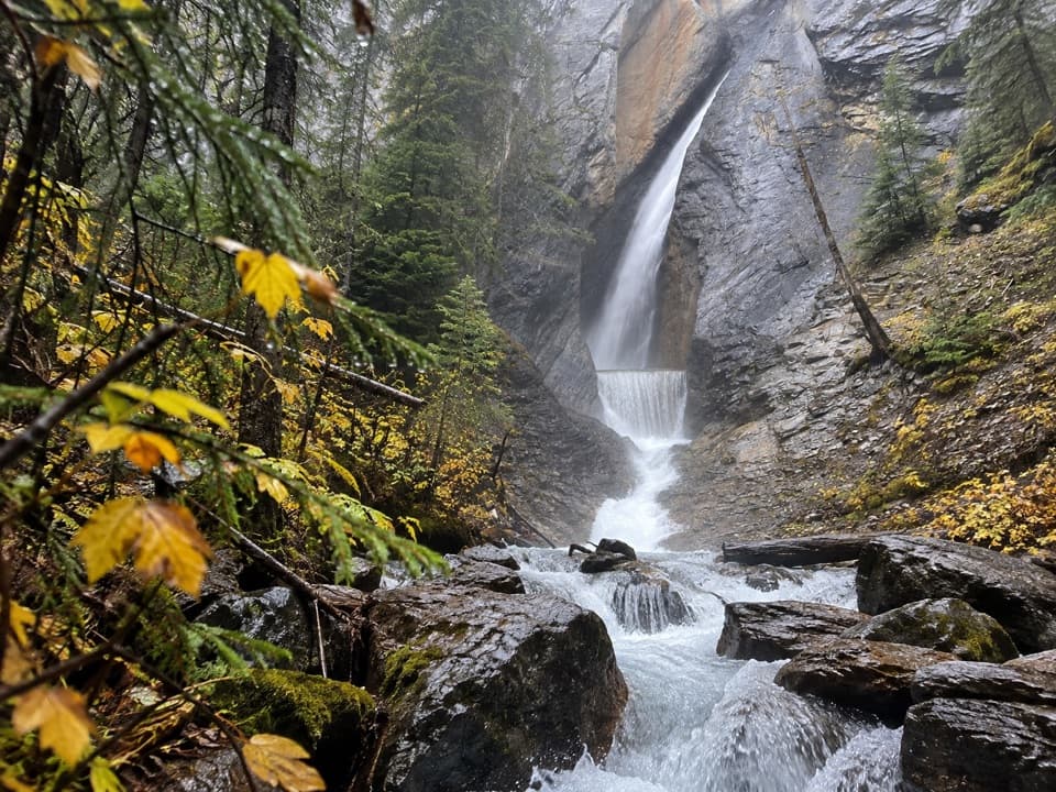 EasyHamilton Falls Trail1.6 km · 45 min · At the trailheadA short climb to a waterfall tucked in a narrow canyon.
 ChallengingHamilton Lake Trail10.2 km · 5.5 hr · 0.1 km awayA steep climb for an alpine tarn beneath the high peaks.
 ChallengingSouth Burgess Pass Trail12.7 km · 6.5 hr · 5.6 km awayA steep climb from Field to a high pass above town.
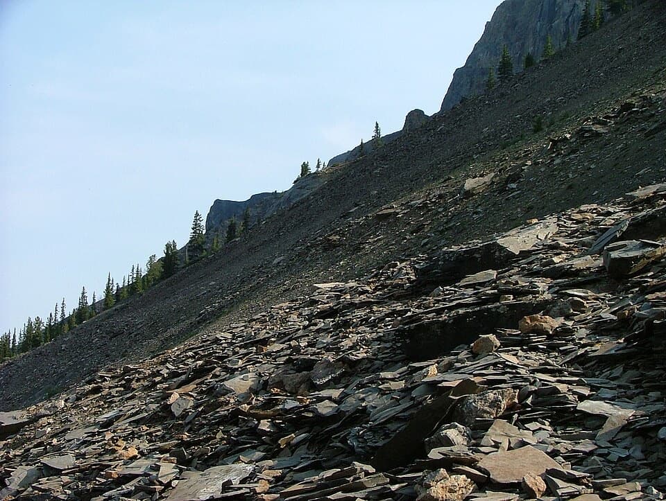 ChallengingMount Stephen Guided Fossil Hike8 km · 7.5 hr · 5.7 km awayA steep guided climb to Yoho’s restricted trilobite beds.
 ModerateTally-Ho Trail6.4 km · 2 hr · 6.3 km awayA 6.4 km out-and-back from Natural Bridge.
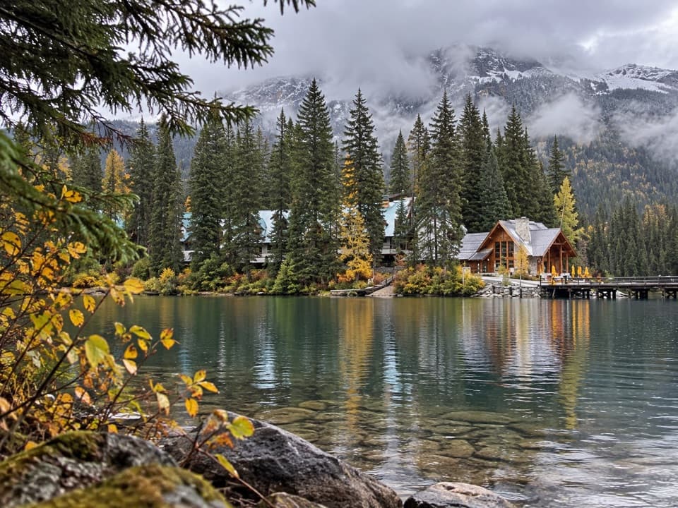 Restaurant · 0.1 km awayCilantro on the LakeA lakeside patio lunch with Emerald Lake and peaks beside you.Sight · 0.2 km awayEmerald LakeTurquoise water, mountain reflections, and a gentle lakeshore loop.
 Lodging · 0.2 km awayEmerald Lake LodgeLakeside lodge with a Yukon saloon bar and TV-free rooms.
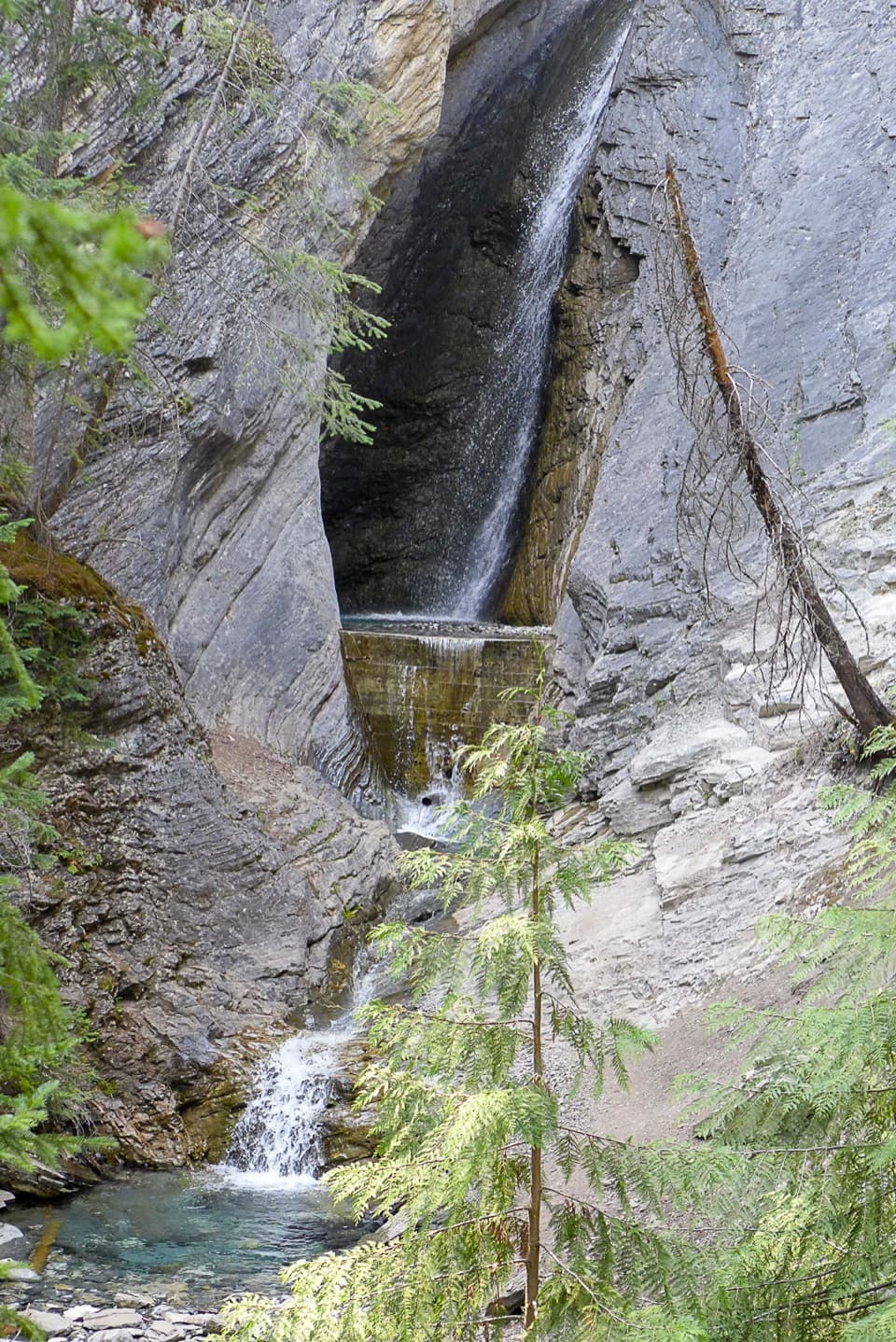 Sight · 0.7 km awayHamilton FallsA small cascade 0.8 km up the steep Hamilton Lake trail
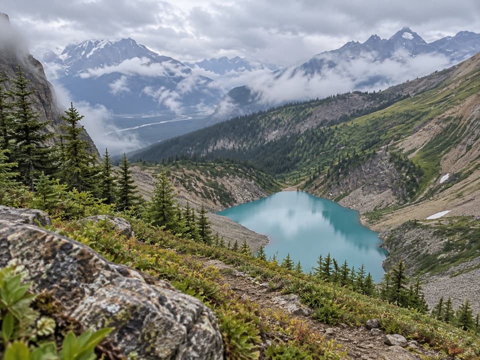 Sight · 3.1 km awayHamilton LakeCliff-ringed water at the end of a steep, steady climb.
 Sight · 4.8 km awayWalcott QuarryA full-day guided hike to fossils older than half a billion years.
 Campground · 5.5 km awayYoho Lake CampgroundBackcountry camping beside Yoho Lake, reached by a steep hike.Sight · 5.6 km awayYoho LakeRed chairs and a Wapta reflection reward the uphill hike.
Parkwolf’s Yoho ranking

The audio tour guide for the drive, plus offline maps, trails, and wildlife heatmaps for when the signal drops.