Ingleton in Yorkshire Dales National Park

Sight · Yorkshire Dales National Park

Ingleton

Limestone base camp for Three Peaks walks, caves and waterfalls

Photo: Wikimedia Commons
Type
Sight
Nearest trail
0.2 km
Audio stories
7 nearby
  • Parking
  • Restrooms
  • Visitor center
  • Food

Hear the audio tour

Ingleton Waterfalls Trail

Overview

About Ingleton

Why stop

  • Useful base for Three Peaks and limestone walking
  • Good mix of village services and nearby attractions

Heads up

  • More gateway than a single concentrated marquee sight
  • The signature waterfall walk is strenuous and step-heavy
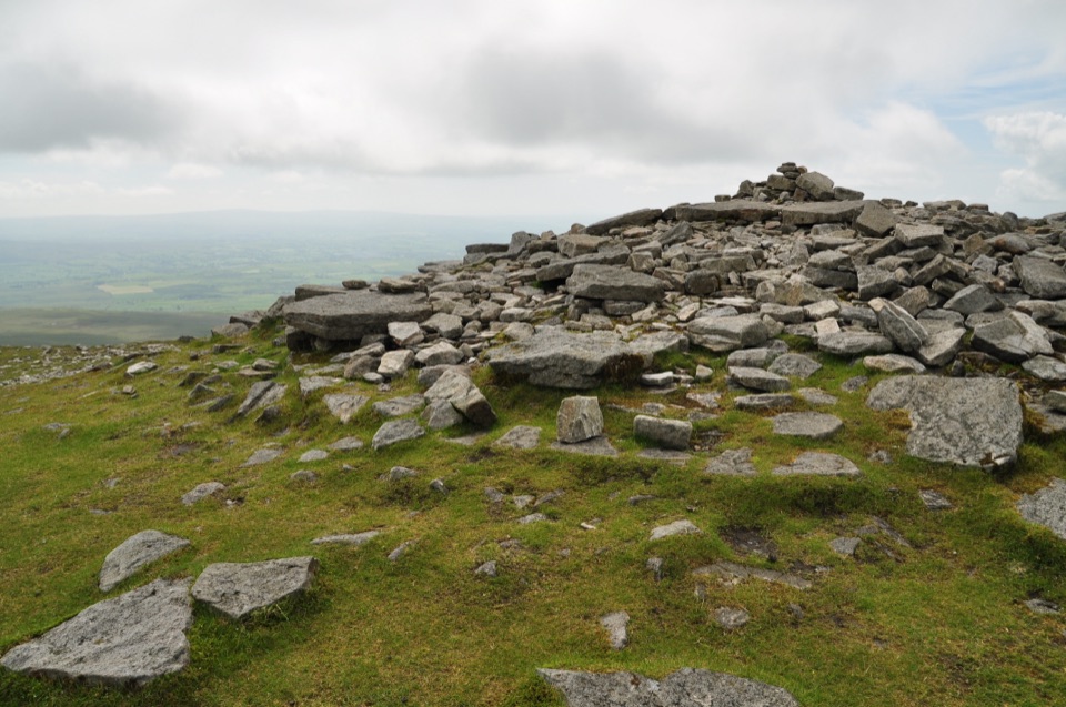
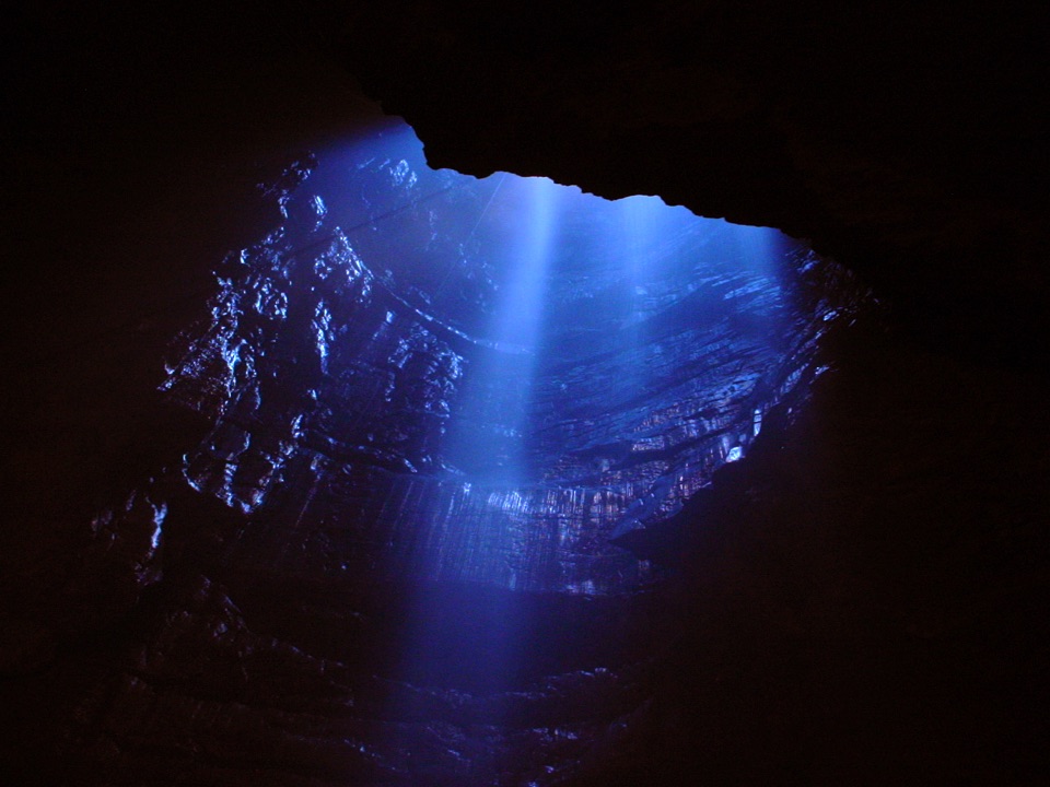
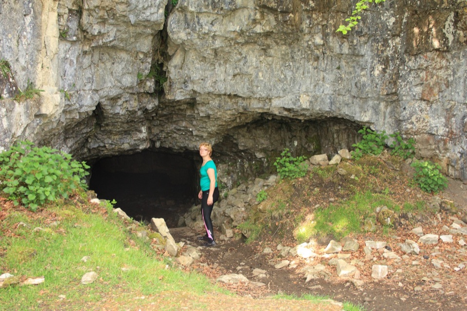
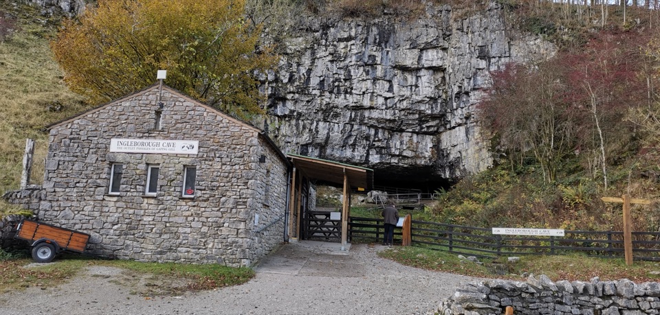
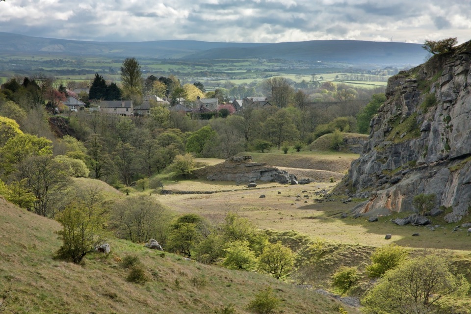
Ingleton sits in the foothills of Ingleborough, one of Yorkshire's Three Peaks, and works best as a base rather than a single headline attraction. It is a natural starting point for climbs of Ingleborough and Whernside, and the surrounding limestone country is riddled with deep caves, potholes and waterfalls, plus geological and archaeological sites that draw walkers, climbers, cavers and potholers.
Parkwolf’s verdictWhy stop here

Map

Where it is

Loading the Yorkshire Dales map
Full map
SightIngleton54.15390, -2.46793
Keep this map with you offline in the Parkwolf app

Plan your stop

Before you go

Best time to go

The falls change as river levels rise and fall, so they are more impressive after recent rain and noticeably less dramatic in prolonged dry weather. Spring and autumn give the best mix of water flow, woodland colour and comfortable walking temperatures. Summer weekends and school holidays are the busiest, so arrive early on a weekday if you want the trail and the fell paths quieter, and make use of long summer evening light if you are combining a peak with the village. In winter and after rain, limestone and stone steps can be uneven and slippery, and hill weather on Ingleborough and Whernside can turn while the valley still looks fine.


1 active Yorkshire Dales alert

  • ClosureTemporary closures on public rights of wayAvoid the listed sections of public rights of way while their temporary closures or pedestrian prohibition are in force. - Public Bridleway No. 52 (05.Official details
Yorkshire Dales alerts
A park ranger sits on a dash-mounted phone, talking, as Parkwolf’s Tour Guide plays “Army Cutworm Moths: A Grizzly Bear Buffet” on Grand Loop Road below Dunraven Pass in Yellowstone
Parkwolf Tour GuideThe highest, rockiest slopes around here are a summer buffet for grizzly bears.

Yorkshire Dales Tour Guide

Your drive to Ingleton, narrated.

Parkwolf is a GPS audio tour guide for Yorkshire Dales National Park. As you drive, it chimes in with what’s ahead: hidden gems, upcoming stops, history, geology, and wildlife, right through your car’s speakers.

Recorded for this place

Ingleton Waterfalls Trail
0:00 / 0:29
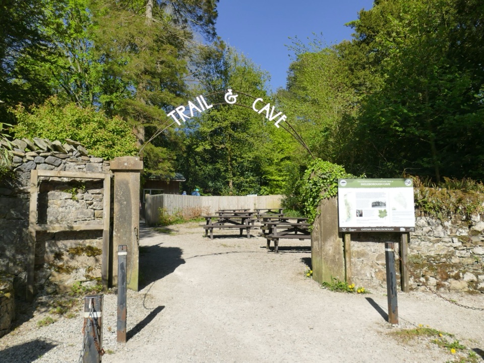
“You're approaching the Broadwood entrance for the Ingleton Waterfalls Trail, a ticketed loop through two wooded gorges. Its four-point-three miles take two to four hours, with many damp, uneven steps.”

Plays as you drive up to Ingleton in the Parkwolf Yorkshire Dales Tour Guide.

More stories near here in the app

  • Conan Doyle at St Oswald’s
  • Coal Beneath Ingleton
  • A Garden in the Cracks
  • The Rock Standing on Edge
  • 298 audio storiesacross Yorkshire Dales’s roads, triggered by GPS as you drive
  • Wildlife heatmapsfor Eurasian Otter, Atlantic Salmon, Short-eared Owl, and 13 more
  • Works offlinemaps, 99 trails, 63 places, and audio download before you lose signal
  • CarPlay readysimple controls built for the drive
★★★★★
“Fantastic app with many points of information… It’s great to just turn on while you’re driving and it gives you an audio tour of the national Park. We love it!!!!”
JMJamesApp Store review
Download Parkwolf on the App StoreGet Parkwolf on Google Play

4.7 from 8,600+ ratings

Guide

More about Ingleton

The limestone settingGlaciation shaped nearly everything you see around the village: scars, erratics, limestone…

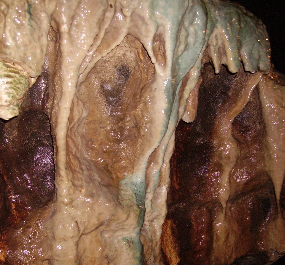
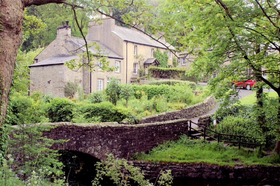
Glaciation shaped nearly everything you see around the village: scars, erratics, limestone pavement, high cliffs and deep dry gorges. Underground, the limestone carries rivers and potholes, which is why this pocket of the Dales has such a strong caving reputation. Even without a big hill day, the change from valley floor to open fell scenery is obvious within minutes of leaving the village.

Village character and servicesFor a small place, Ingleton is unusually well set up for visitors.

For a small place, Ingleton is unusually well set up for visitors. Expect cafes, pubs and shops, a Co-op Food for supplies, riverbank walking, the Millennium Garden, a children's playground, a heated outdoor swimming pool, Ingleton Pottery and an indoor climbing wall. The tourist information centre sits inside Ingleborough Community Centre on Main Street, off Bank Top, where you will also find the main village car park and public toilets, including an accessible toilet that needs a RADAR key. The information centre hands out free leaflets and sells books, maps, guides, postcards and souvenirs, and can point you toward places to eat and stay. Buses from Kirkby Lonsdale and Settle call at the Community Centre, so a car-free visit is realistic. The village also has a service station, a library and information point, and the Ingleton Viaduct as a reminder of its railway past, alongside older mining and woollen mill heritage and a literary connection to Arthur Conan Doyle.

The Waterfalls Trail is a separate thingThis matters for planning: the famous Ingleton Waterfalls Trail is a separately run, ticketed…

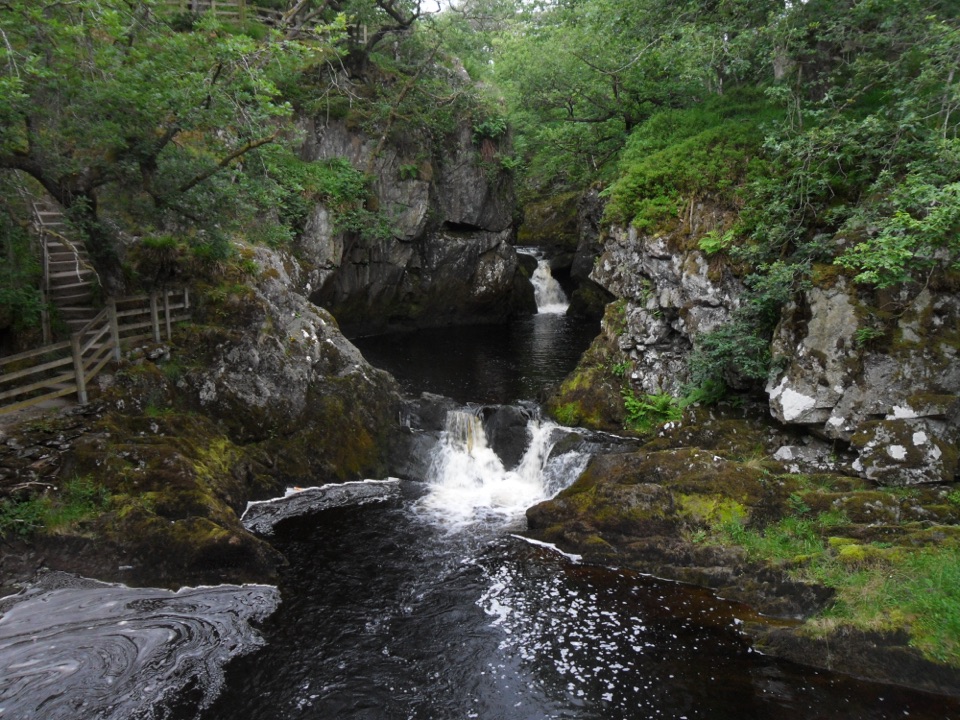
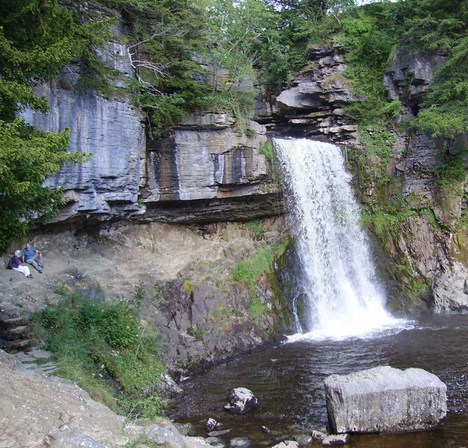
This matters for planning: the famous Ingleton Waterfalls Trail is a separately run, ticketed attraction, not the village itself. It is a 4.3 mile (7 km) circuit taking roughly 2 to 4 hours, following two rivers through oak woodland, with Thornton Force dropping about 14 m over limestone and part of the route inside the Thornton and Twisleton Glen SSSI. It has many steps, is uneven and slippery in places, especially after rain, and is not suitable for wheelchairs or pushchairs, so strong shoes or boots are the sensible choice. Mobile data is unreliable around the trail, so download any self-guided geology and ecology guide before you set off. Toilets, picnic areas and other facilities along the trail belong to that attraction and should not be assumed to be village amenities.

Honest drawbacksThis is a gateway village, so if you want one concentrated marquee sight you may feel…

This is a gateway village, so if you want one concentrated marquee sight you may feel underwhelmed by the centre itself. The signature nearby waterfall walk is strenuous and step-heavy, which rules it out for some visitors, and the big hill routes are full-day commitments needing proper footwear and a weather check. Plan the village as your food, supplies and information stop wrapped around a walk, and it delivers well.

Wildlife

Wildlife in Yorkshire Dales

All Yorkshire Dales wildlife maps

Sighting maps show where each species has been reported across Yorkshire Dales. Wildlife moves, so no sighting is guaranteed.

Parkwolf’s Yorkshire Dales ranking

Top sights in Yorkshire Dales

All 63 places
  1. 1Malham CoveSight
  2. 2Aysgarth FallsSight
  3. 3Ribblehead ViaductSight
  4. 4Gordale ScarSight
  5. 5Bolton CastleSight
  6. 6Janet's FossSight

Take Parkwolf to Yorkshire Dales.

The audio tour guide for the drive, plus offline maps, trails, and wildlife heatmaps for when the signal drops.

4.7 from 8,600+ ratings

Download Parkwolf on the App StoreGet Parkwolf on Google Play