Ingleborough Estate Nature Trail in Yorkshire Dales National Park

Yorkshire Dales National Park, EN

Ingleborough Estate Nature Trail

Gentle 1.3-mile beck-side woodland walk to a dramatic cave mouth

Photo: Wikimedia Commons
Length
2.1km
Time
30min
Elev. change
129m
Difficulty
Easy
  • Dogs allowed
  • High point 297 m
  • #23 of 99 in Yorkshire Dales

Hear the audio tour

Clapham and Ingleborough Cave

Overview

About Ingleborough Estate Nature Trail

Why go

  • Easy maintained track to Ingleborough Cave
  • Lake, beck and woodland scenery

Heads up

  • Paid access for a short linear walk
  • Return the same way unless continuing

Map & elevation

The route

Loading the Yorkshire Dales map
Full map
Elevation168–297 m
TrailheadIngleborough Estate Nature Trail ticket foyer54.12081, -2.39068
Keep this map with you offline in the Parkwolf app

Plan your hike

Before you go

Parking

Yorkshire Dales National Park car park in Clapham (sat nav LA2 8EA). Follow signs on foot through the village to the trail ticket foyer. Two disabled bays at the entrance (LA2 8DS) are first come first served. Roadside parking is limited and must leave room for emergency vehicles.

Best time to go

Easy to moderate in practical terms, scored 3 out of 10. The track is maintained, spacious and compacted or gravelled, with gentle slopes rather than steps or scrambling. Mapped elevation samples along the line, drawn from a 90 m digital elevation model, sit between 168 and 297 metres above sea level; that is height above the sea, not a figure for total climbing. Allow about 30 to 60 minutes one way. Many visitors take longer than the distance suggests, simply because there is a lot to stop and look at.

Safety

Trail admission is required and cave entry is separate. The wooded beck-side route has short slopes and bridges; keep dogs on a lead.

1 active Yorkshire Dales alert

  • ClosureTemporary closures on public rights of wayAvoid the listed sections of public rights of way while their temporary closures or pedestrian prohibition are in force. - Public Bridleway No. 52 (05.Official details
Yorkshire Dales alerts
A park ranger sits on a dash-mounted phone, talking, as Parkwolf’s Tour Guide plays “Army Cutworm Moths: A Grizzly Bear Buffet” on Grand Loop Road below Dunraven Pass in Yellowstone
Parkwolf Tour GuideThe highest, rockiest slopes around here are a summer buffet for grizzly bears.

Yorkshire Dales Tour Guide

Your drive to Ingleborough Estate Nature Trail, narrated.

Parkwolf is a GPS audio tour guide for Yorkshire Dales National Park. As you drive, it chimes in with what’s ahead: hidden gems, upcoming stops, history, geology, and wildlife, right through your car’s speakers.

Recorded for this trailhead

Clapham and Ingleborough Cave
0:00 / 0:34
“You're approaching Clapham, a stone village divided by a beck and a good base for Ingleborough's cave country.”

Plays as you drive up to this trailhead in the Parkwolf Yorkshire Dales Tour Guide.

More stories near here in the app

  • The Shotgun Garden
  • Washing the Tar out of Wool
  • Norber Erratics
  • The Summit That May Not Be a Fort
  • 298 audio storiesacross Yorkshire Dales’s roads, triggered by GPS as you drive
  • Wildlife heatmapsfor Eurasian Otter, Atlantic Salmon, Short-eared Owl, and 13 more
  • Works offlinemaps, 99 trails, 63 places, and audio download before you lose signal
  • CarPlay readysimple controls built for the drive
★★★★★
“Fantastic app with many points of information… It’s great to just turn on while you’re driving and it gives you an audio tour of the national Park. We love it!!!!”
JMJamesApp Store review
Download Parkwolf on the App StoreGet Parkwolf on Google Play

4.7 from 8,600+ ratings

Trail guide

Hiking Ingleborough Estate Nature Trail

The walk in shortThis is a linear trail, 1.3 miles (about 2.

This is a linear trail, 1.3 miles (about 2.1 km) one way, running from the ticket foyer at the head of Clapham village to the entrance of Ingleborough Cave. The mapped line goes one way only; if you are walking the trail alone, you return along the same track. Published figures vary slightly between roughly 1.23 and 1.3 miles, or about 2 km, so treat the distance as a comfortable half-hour to an hour each way depending on pace and stops.

What you walk throughThe route starts beside the Old Sawmill and Clapham Beck, passes a lake with lakeside woodland,…

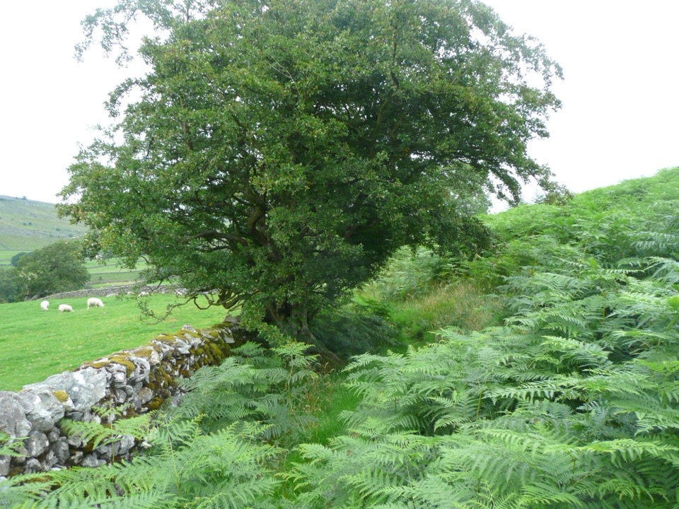
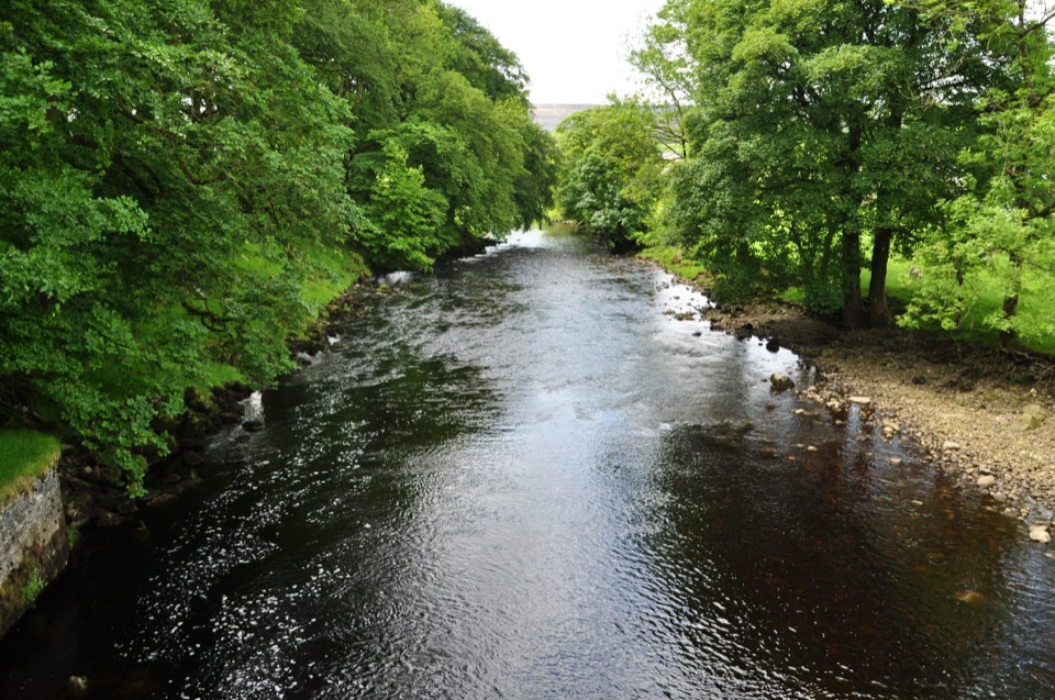
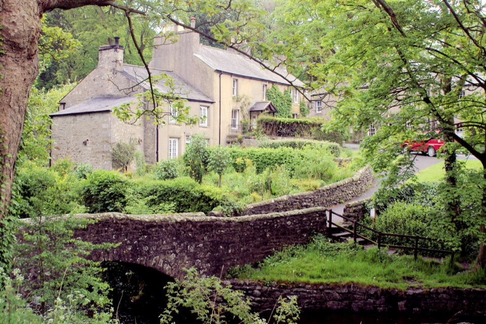
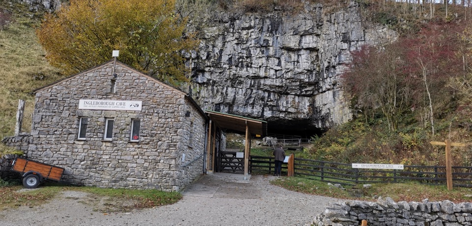
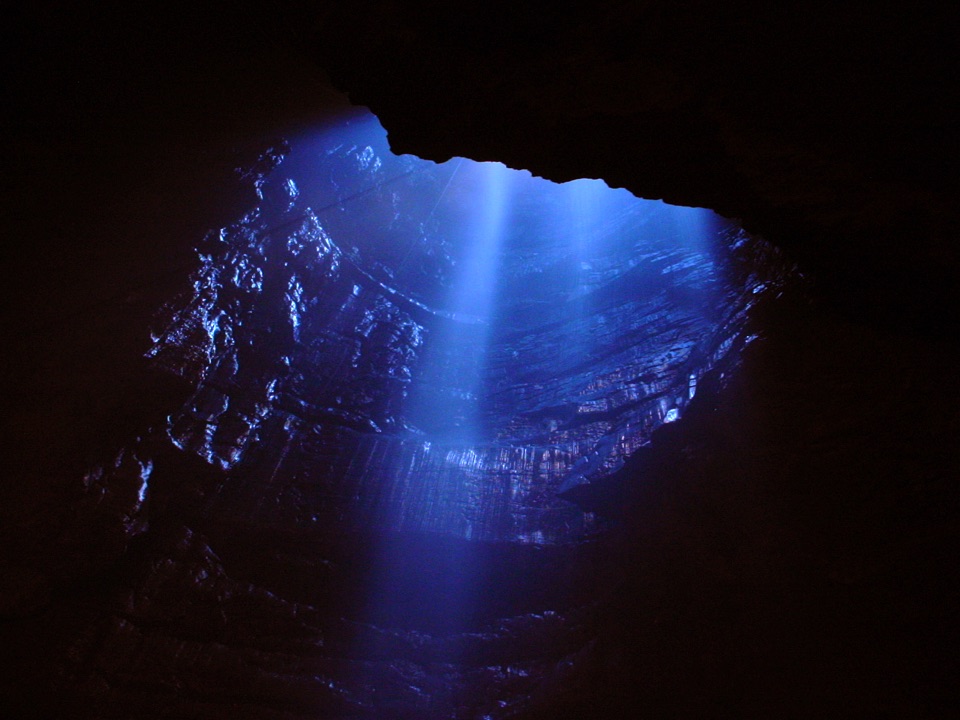
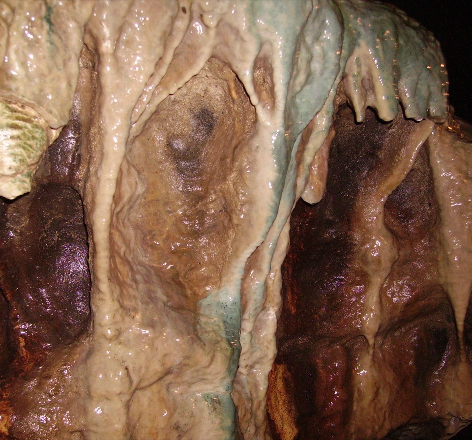
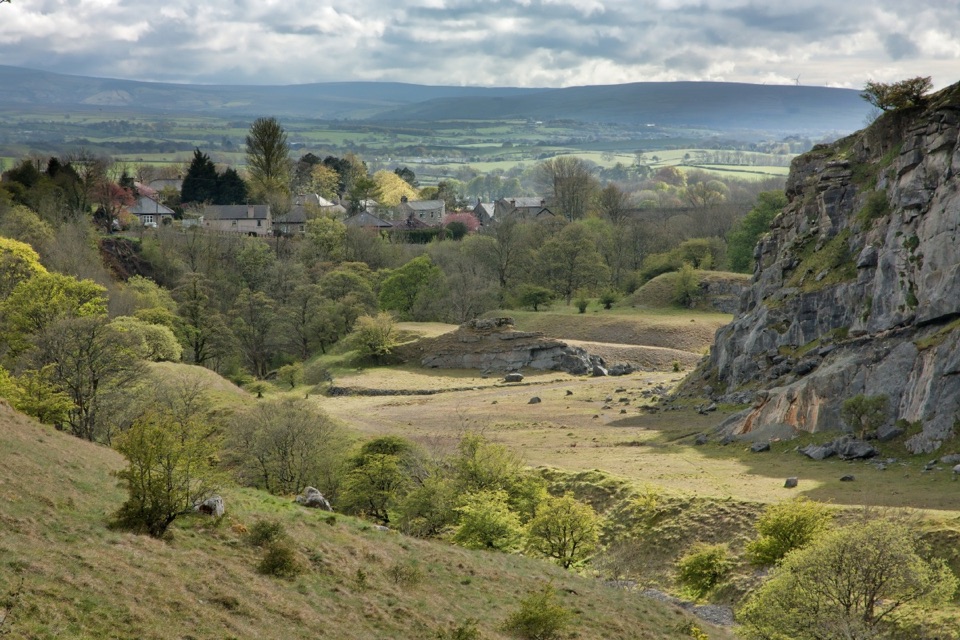
The route starts beside the Old Sawmill and Clapham Beck, passes a lake with lakeside woodland, then follows the beck up a steep-sided wooded valley with bridges and streamside views. Interpretation along the way covers the Clapham plantsman Reginald Farrer, whose plant collecting left the rhododendrons that show colour in early spring. The payoff is the imposing cave entrance at the far end, where there is a shop for cave visitors.

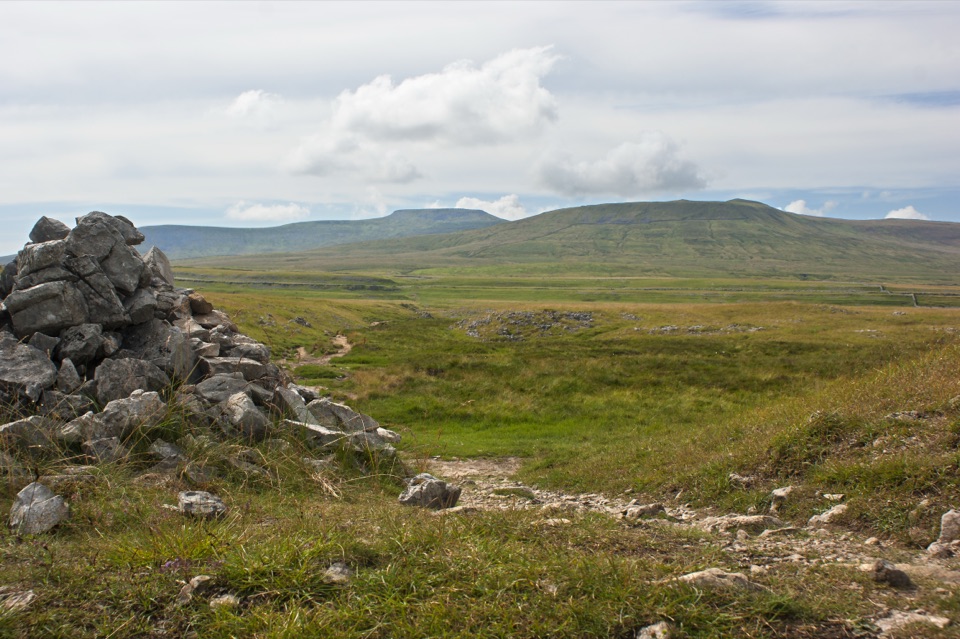
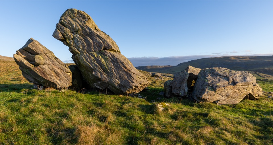
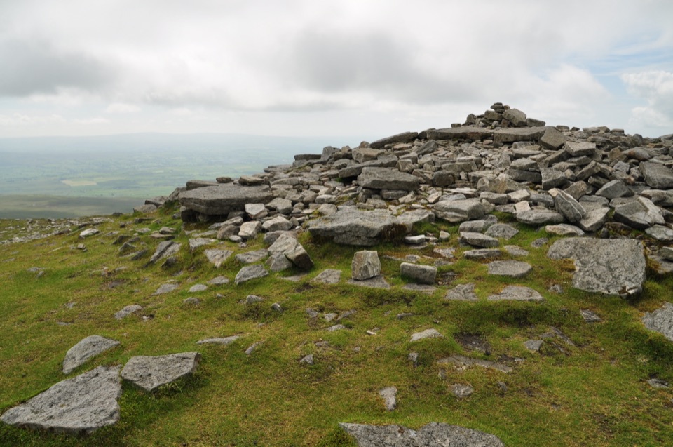
The trail also sits at the doorstep of the wider limestone country around Trow Gill, Gaping Gill, the Norber Erratics and the Ingleborough massif. Those are separate, longer and rougher walks, not part of this short trail, but they are worth knowing about if you want a bigger day out from the same village.

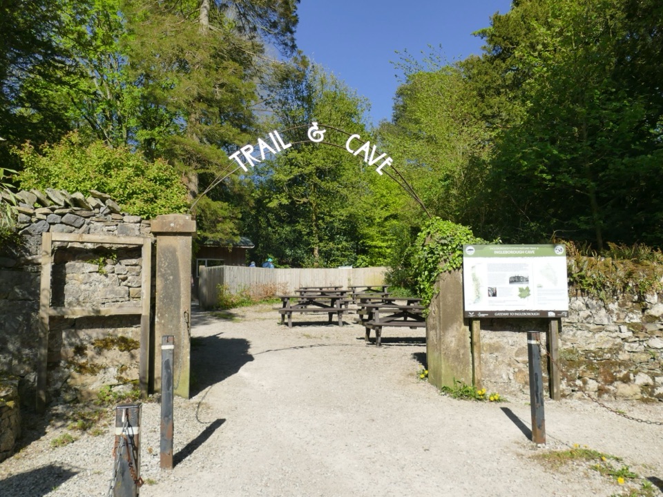
Accessibility, dogs and facilitiesThe surface suits prams and is described by regular visitors as wheelchair friendly, and two…

The surface suits prams and is described by regular visitors as wheelchair friendly, and two free electric all-terrain trampers are available for the roughly 1.23-mile trail. Accessible toilets are provided at the entrance and at the cave end. The Old Sawmill Cafe sits at the entrance, with toilets during opening hours. Dogs are welcome if they are well behaved and kept on a lead.

The fee tradeoffTrail admission is paid, and the cave is a separately paid attraction.

Trail admission is paid, and the cave is a separately paid attraction. Some visitors feel the trail on its own is a modest outing for the cost, and that is a fair way to think about it: the walk is short, calm and beautifully kept, and it works best either as a relaxed family stroll with plenty of stopping, or paired with the cave tour to make a fuller half day.

Getting there and parkingUse the Yorkshire Dales National Park car park in Clapham (sat nav LA2 8EA), then follow the…

Use the Yorkshire Dales National Park car park in Clapham (sat nav LA2 8EA), then follow the signs on foot through the village to the trail ticket foyer. There are two disabled bays at the trail entrance itself (LA2 8DS), first come first served. Roadside parking in the village is limited and must leave room for emergency vehicles. Buses stop in Clapham village, and Clapham station is about 1.2 miles from the village centre.

Wildlife

Wildlife in Yorkshire Dales

All Yorkshire Dales wildlife maps

Sighting maps show where each species has been reported across Yorkshire Dales. Wildlife moves, so no sighting is guaranteed.

Keep exploring

Near Ingleborough Estate Nature Trail

See it all on the map

Trails that start nearby

Places near the trailhead

Parkwolf’s Yorkshire Dales ranking

Top-rated trails in Yorkshire Dales

All 99 trails
  1. 1Yorkshire Three Peaks CircularChallenging · 38.6 km
  2. 2Malham Landscape TrailModerate · 7.2 km
  3. 3Ingleton Waterfalls TrailModerate · 6.9 km
  4. 4Pen-y-ghent CircularModerate · 9.7 km
  5. 5Ingleborough from ClaphamChallenging · 16.1 km
  6. 6Whernside CircularChallenging · 12.6 km

Take Parkwolf to Yorkshire Dales.

The audio tour guide for the drive, plus offline maps, trails, and wildlife heatmaps for when the signal drops.

4.7 from 8,600+ ratings

Download Parkwolf on the App StoreGet Parkwolf on Google Play