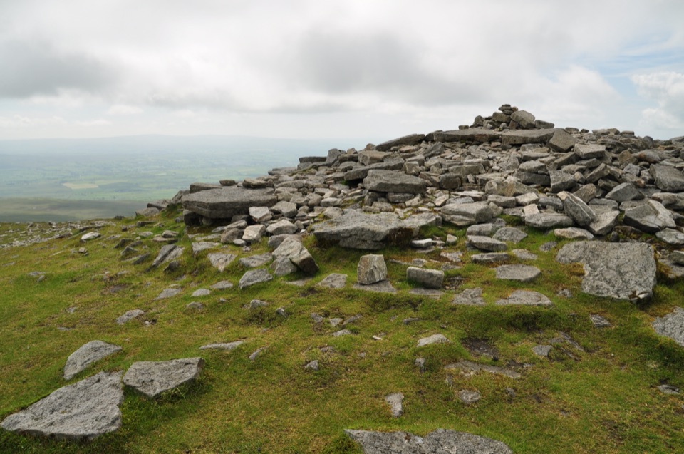
Ingleborough Summit in Yorkshire Dales National Park

Sight · Yorkshire Dales National Park

Ingleborough Summit

Ingleborough Summit: flat gritstone plateau with an ancient hill fort

Photo: Wikimedia Commons
Type
Sight
Nearest trail
4.7 km
Audio stories
3 nearby
  • Scenic viewpoint

Hear the audio tour

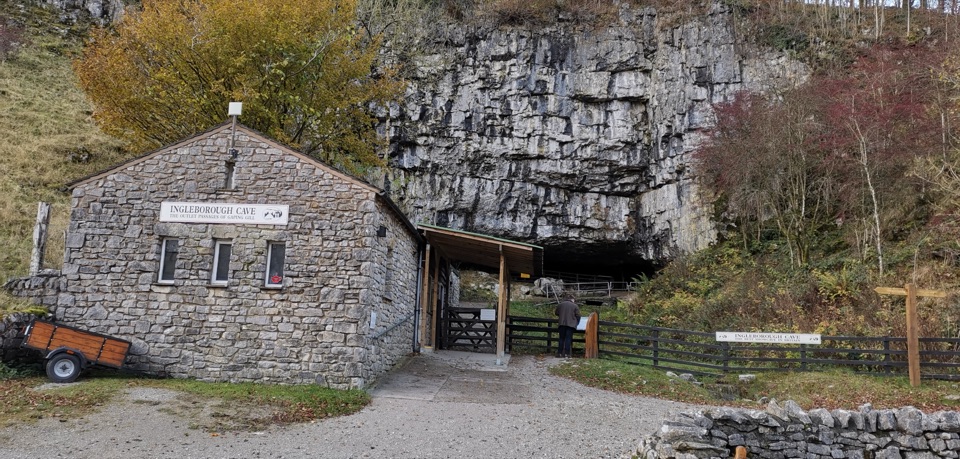
Clapham and Ingleborough Cave

Overview

About Ingleborough Summit

Why stop

  • Wide views on clear days
  • Visible hillfort and hut circles

Heads up

  • Exposed, windy summit
  • Long approach with a rocky final climb
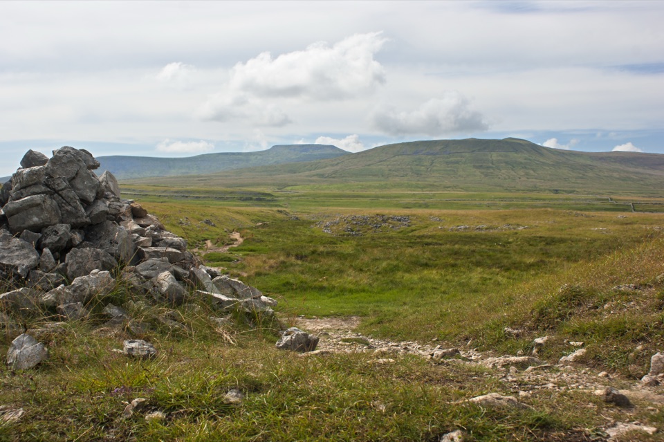
At 723 metres, Ingleborough's flat-topped profile is recognisable from miles away. That shape comes from a cap of Millstone Grit sitting on softer Carboniferous limestone and shales, which is also why the flanks below are scattered with limestone pavement. The plateau itself is broad, stony and open, marked by a summit cairn, with wide views across the surrounding fells on a clear day.
Parkwolf’s verdictWhy it's worth the climb

Map

Where it is

Loading the Yorkshire Dales map
Full map
SightIngleborough Summit54.16629, -2.39787
Keep this map with you offline in the Parkwolf app

Plan your stop

Before you go

Best time to go

Aim for a settled, clear day and an early start, both for the views and for daylight in hand. Long summer days give the most margin, while low morning or late light shows the limestone terraces well. A weekday will feel calmer than a weekend on this popular route. The summit is noticeably colder and windier than the valley, in any season.


Getting there

One well-established approach starts from Clapham and covers about 17 km (10 miles), taking in classic limestone scenery, Ingleborough Cave, Gaping Gill and the narrow gorge of Trow Gill. There is parking in Clapham, with toilets in the National Park car park, plus pubs, cafes and shops in the village. Clapham train station sits about 2 km from the start, so it works without a car.

1 active Yorkshire Dales alert

  • ClosureTemporary closures on public rights of wayAvoid the listed sections of public rights of way while their temporary closures or pedestrian prohibition are in force. - Public Bridleway No. 52 (05.Official details
Yorkshire Dales alerts
A park ranger sits on a dash-mounted phone, talking, as Parkwolf’s Tour Guide plays “Army Cutworm Moths: A Grizzly Bear Buffet” on Grand Loop Road below Dunraven Pass in Yellowstone
Parkwolf Tour GuideThe highest, rockiest slopes around here are a summer buffet for grizzly bears.

Yorkshire Dales Tour Guide

Your drive to Ingleborough Summit, narrated.

Parkwolf is a GPS audio tour guide for Yorkshire Dales National Park. As you drive, it chimes in with what’s ahead: hidden gems, upcoming stops, history, geology, and wildlife, right through your car’s speakers.

Recorded for this place

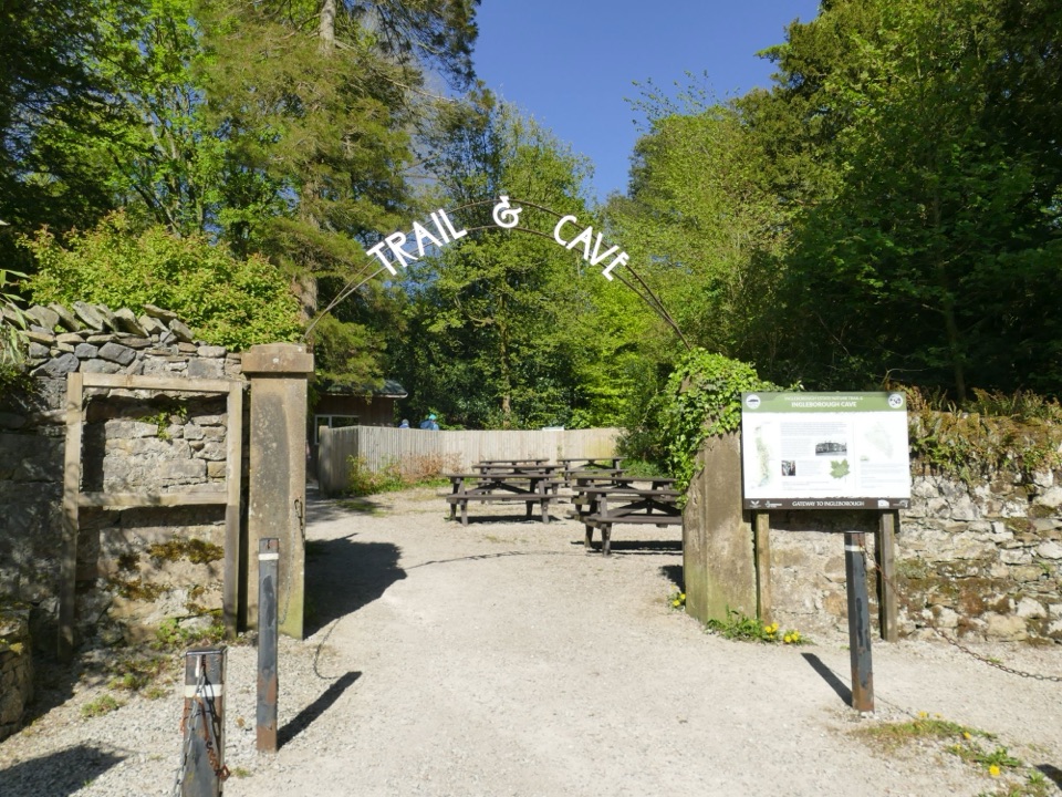
Clapham and Ingleborough Cave
0:00 / 0:34
“You're approaching Clapham, a stone village divided by a beck and a good base for Ingleborough's cave country.”

Plays as you drive up to Ingleborough Summit in the Parkwolf Yorkshire Dales Tour Guide.

More stories near here in the app

  • The Rescue Team Born Underground
  • The Railway’s Quiet Memorial
  • White Scar Cave
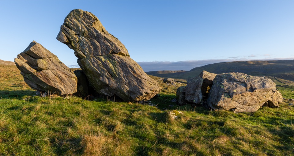
  • The Rock Standing on Edge
  • 298 audio storiesacross Yorkshire Dales’s roads, triggered by GPS as you drive
  • Wildlife heatmapsfor Eurasian Otter, Atlantic Salmon, Short-eared Owl, and 13 more
  • Works offlinemaps, 99 trails, 63 places, and audio download before you lose signal
  • CarPlay readysimple controls built for the drive
★★★★★
“Fantastic app with many points of information… It’s great to just turn on while you’re driving and it gives you an audio tour of the national Park. We love it!!!!”
JMJamesApp Store review
Download Parkwolf on the App StoreGet Parkwolf on Google Play

4.7 from 8,600+ ratings

Guide

More about Ingleborough Summit

On the topThe summit carries the remains of a Brigantian (Celtic) hill fort, and hut circles are still…

The summit carries the remains of a Brigantian (Celtic) hill fort, and hut circles are still clearly visible on the plateau. There is also a low stone summit shelter, enough of a windbreak to get out of the worst of the blast while you eat something, though it is not a comfortable place to linger. Take a slow lap of the top rather than turning straight around, but tread carefully and stick to worn ground where you can.

Safety and navigationThe flat plateau is genuinely hard to navigate in poor visibility, and it is easy to set off…

The flat plateau is genuinely hard to navigate in poor visibility, and it is easy to set off down in the wrong direction. Carry a compass and know how to use it in cloud, and don't rely on a phone alone. Much of the approach follows clear paths, but expect a steeper, rockier top section with a short scramble. This is a strenuous mountain day, not a stroll, even though plenty of walkers of mixed ability enjoy it.

Wildlife and geology on the wayThe slopes take in a 1,014 hectare National Nature Reserve of limestone and acid moorland…

The slopes take in a 1,014 hectare National Nature Reserve of limestone and acid moorland habitats. Limestone ground supports limestone pavement, calcareous grassland, rock outcrops, cliffs and scree, juniper, Yorkshire primrose, bloody crane's-bill and common rock-rose, while the acidic moorland holds bilberry, hare-tail cotton grass, cranberry, round-leaved sundew and bog asphodel. Watch and listen for northern brown argus butterfly, curlew and roe deer.

DrawbacksThere are no toilets, no water and no food on the summit, and the stone shelter is a rough…

There are no toilets, no water and no food on the summit, and the stone shelter is a rough windbreak rather than any kind of facility, so it won't guarantee you comfort in bad weather. Sort out food, water and layers in Clapham before you set off. The final climb and the exposed top are where most of the effort and most of the weather live, and on a grey day the views that justify the walk simply won't be there.

Wildlife

Wildlife in Yorkshire Dales

All Yorkshire Dales wildlife maps

Sighting maps show where each species has been reported across Yorkshire Dales. Wildlife moves, so no sighting is guaranteed.

Keep exploring

Near Ingleborough Summit

See it all on the map

Trails nearby

More stops nearby

Parkwolf’s Yorkshire Dales ranking

Top sights in Yorkshire Dales

All 63 places
  1. 1Malham CoveSight
  2. 2Aysgarth FallsSight
  3. 3Ribblehead ViaductSight
  4. 4Gordale ScarSight
  5. 5Bolton CastleSight
  6. 6Janet's FossSight

Take Parkwolf to Yorkshire Dales.

The audio tour guide for the drive, plus offline maps, trails, and wildlife heatmaps for when the signal drops.

4.7 from 8,600+ ratings

Download Parkwolf on the App StoreGet Parkwolf on Google Play