Best time to go
Weekends and event days are the busiest, which affects both the walk in and how freely you can pause for photos in the cave. A weekday visit gives you more room on the path and better odds of clean shots of the formations.
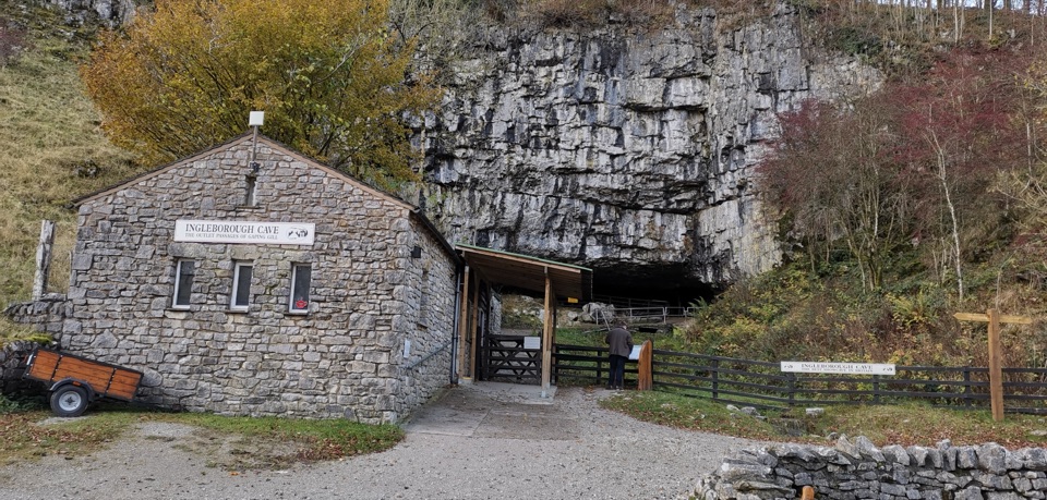
#9 of 53 sights in Yorkshire Dales
Sight · Yorkshire Dales National Park
A wooded mile in, then half a kilometre of floodlit stalactites
Overview
Ingleborough Cave sits in the Yorkshire Dales National Park near Clapham, and it pairs two experiences in one outing: a walk through woodland on the Ingleborough Estate Nature Trail and a 0.5 km self-guided route underground (1 km there and back) past floodlit stalactites and flowstone. It suits families, and well behaved dogs on leads are welcome on the trail, in the cave and in the cafe.
 Parkwolf’s verdictWhy stop here
Map
Plan your stop

The highest, rockiest slopes around here are a summer buffet for grizzly bears.
Yorkshire Dales Tour Guide
Parkwolf is a GPS audio tour guide for Yorkshire Dales National Park. As you drive, it chimes in with what’s ahead: hidden gems, upcoming stops, history, geology, and wildlife, right through your car’s speakers.
Recorded for this place
Clapham and Ingleborough Cave“You're approaching Clapham, a stone village divided by a beck and a good base for Ingleborough's cave country.”
Plays as you drive up to Ingleborough Cave in the Parkwolf Yorkshire Dales Tour Guide.
More stories near here in the app
“Fantastic app with many points of information… It’s great to just turn on while you’re driving and it gives you an audio tour of the national Park. We love it!!!!”


Guide
The cave was first entered in 1837, when natural calcite dams were broken after a severe flood. It once carried water from the 17 km Gaping Gill system, and cavers proved the connection in 1983. Beyond the visitor path, woolly rhinoceros remains were found in 2001, which gives some sense of how far the passages run past where you turn around.
Access is on foot only, roughly 2 km each way (just over a mile) through Ingleborough Estate woodland from the ticket foyer and Old Sawmill Cafe. You pass a lake, the money tree and Aunt Bessie's Grotto, with gradual inclines along the way. Clapham car park is the practical place to leave a vehicle, then you walk from there. Plenty of visitors arrive expecting to park at the entrance, so factor the full walk in twice.
Wear suitable footwear; the trail can be muddy or gritty after rain. Bring a layer for the cave temperature. There are toilets including disabled facilities at the trail entrance cafe, and a small cave shop with drinks, snacks and souvenirs. Note that cave toilets are for valid day pass or membership holders.
The approach walk is real distance on foot in both directions, the cave stays cool, the stooping sections mean bending low, and the trail surface can be messy in wet weather. Some visitors also feel the ticket price is steep for the length of the underground route, so it lands best if you treat the woodland walk as part of what you are paying for.
Wildlife
 10 sightingsEurasian OtterMost seen around 7 PMSighting map
 11 sightingsAtlantic SalmonMost seen around 7 AMSighting map
 12 sightingsShort-eared OwlMost seen around 7 PMSighting map
 22 sightingsWestern Barn OwlMost seen around 6 AMSighting map
 27 sightingsTawny OwlMost seen around 7 PMSighting map
 34 sightingsCommon KingfisherMost seen around 7 AMSighting map
Sighting maps show where each species has been reported across Yorkshire Dales. Wildlife moves, so no sighting is guaranteed.
Keep exploring
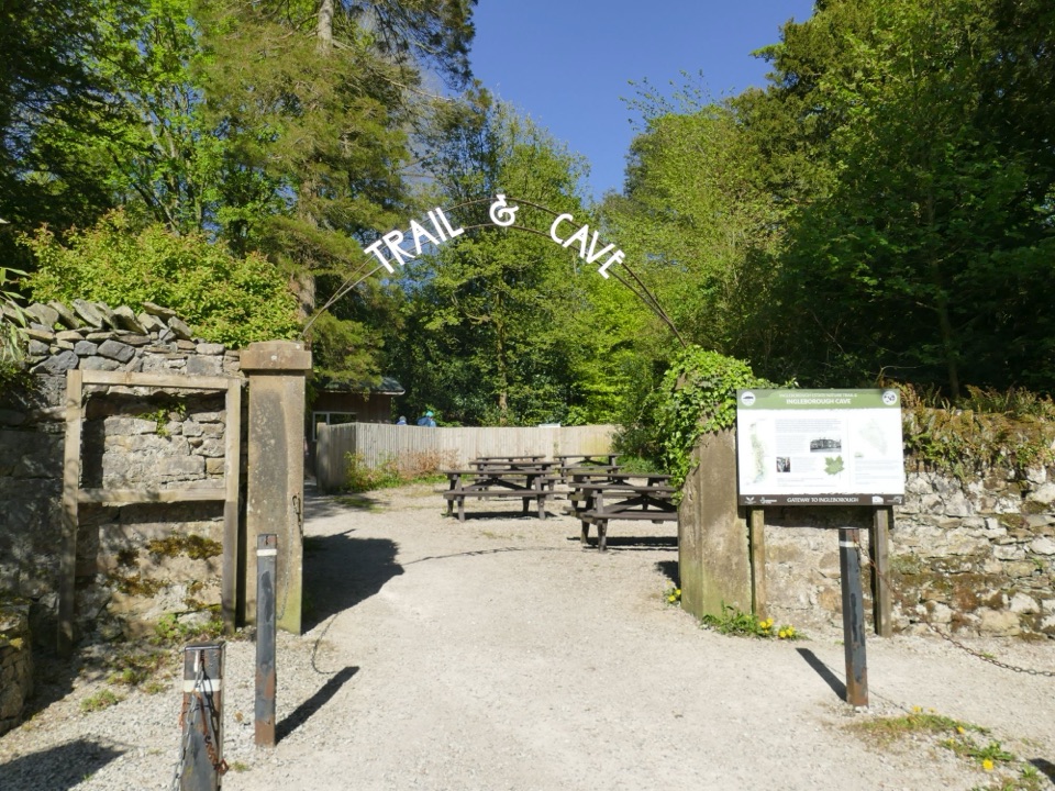 EasyIngleborough Estate Nature Trail2.1 km · 30 min · 1.8 km awayGentle 1.3-mile beck-side woodland walk to a dramatic cave mouth
 ChallengingIngleborough from Clapham16.1 km · 6 hr · 2.1 km awayGorge, cave mouth and limestone pavement on a big 723m summit day
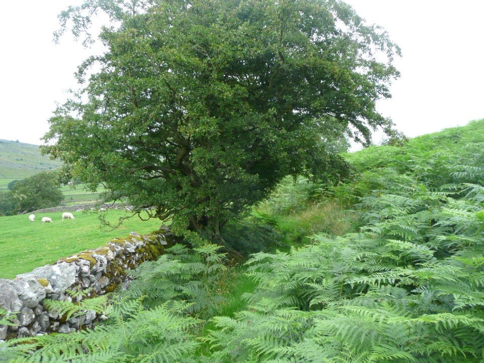 EasyOxenber Wood Trail1.1 km · 30 min · 3.5 km awayBluebell woods and old quarry ground on a half-mile point-to-point
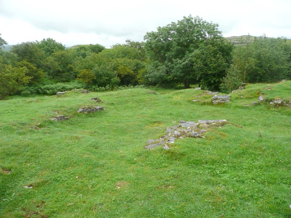 EasyWharfe Wood Trail1.6 km · 30 min · 3.9 km awayShort limestone woodland walk with spring bluebells and open Dales views
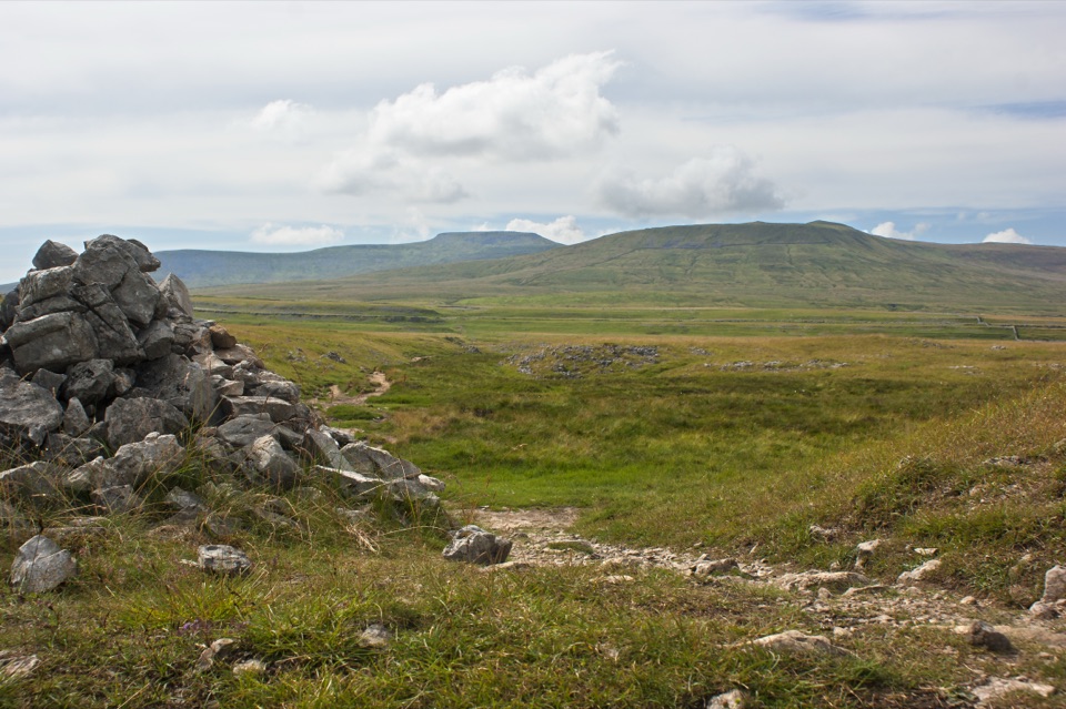 ModerateSulber Nick Accessible Walk6 km · 2.3 hr · 4.9 km awayStile-free limestone track to Sulber Gate with views over Crummack Dale
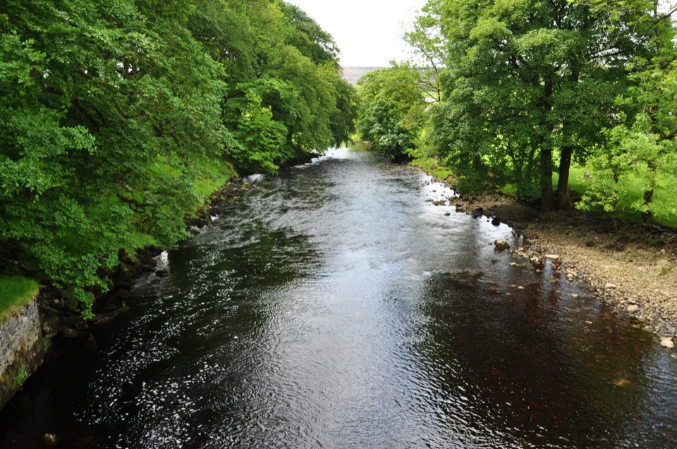 ModerateHorton-in-Ribblesdale to Settle Walk12.9 km · 3.8 hr · 5.2 km awayRibble-side valley walk from Horton station down to Settle station
 ChallengingYorkshire Three Peaks Circular38.6 km · 12 hr · 5.2 km awayThree fell summits, 24 miles and 5,000 feet in one long day
 ModeratePen-y-ghent Circular9.7 km · 3.8 hr · 5.6 km awaySteep wall-side climb to a flat-topped summit, then a walled lane home
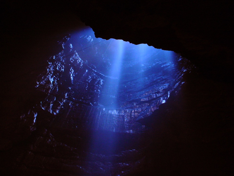 Sight · 1.6 km awayGaping GillA moorland beck vanishes 100m down into a vast hidden chamber
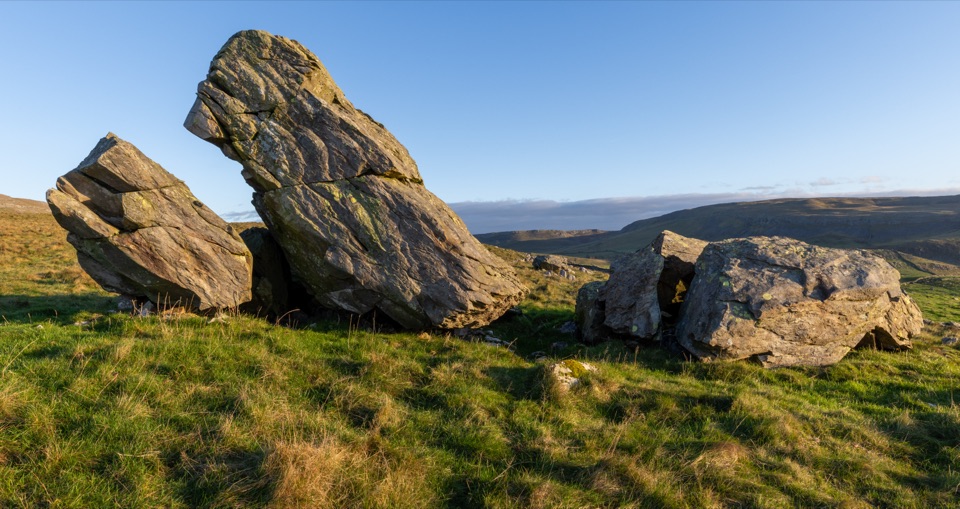 Sight · 1.8 km awayNorber ErraticsIce age boulders perched on pale limestone above a quiet dale
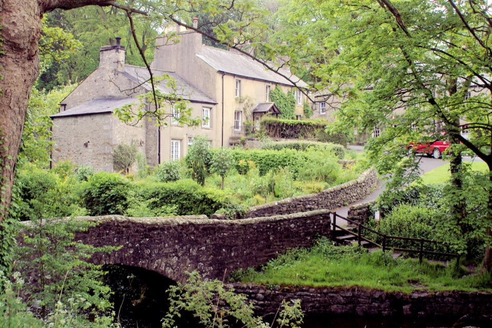 Sight · 2.2 km awayClaphamStone cottages along a beck, with cave country up the lane
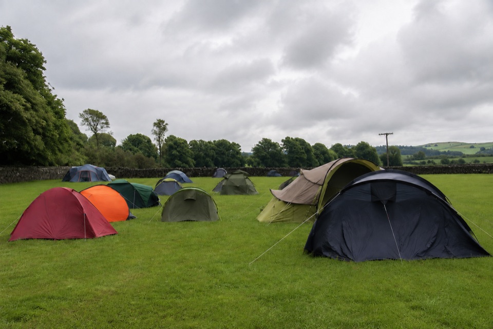 Campground · 3.6 km awayThe Dalesbridge Campsite and CabinsTen-acre camping base for the Three Peaks, with bar and pizza
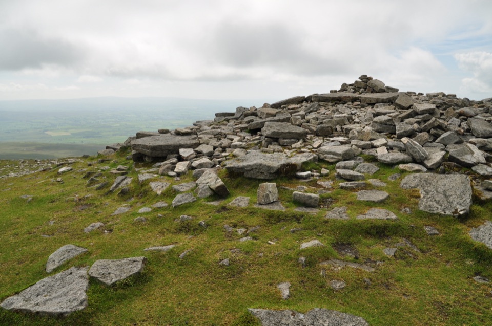 Sight · 3.7 km awayIngleborough SummitIngleborough Summit: flat gritstone plateau with an ancient hill fort
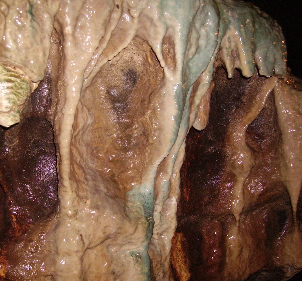 Sight · 5.4 km awayWhite Scar CaveBritain's longest show cave: a guided mile of waterfalls and stalactites
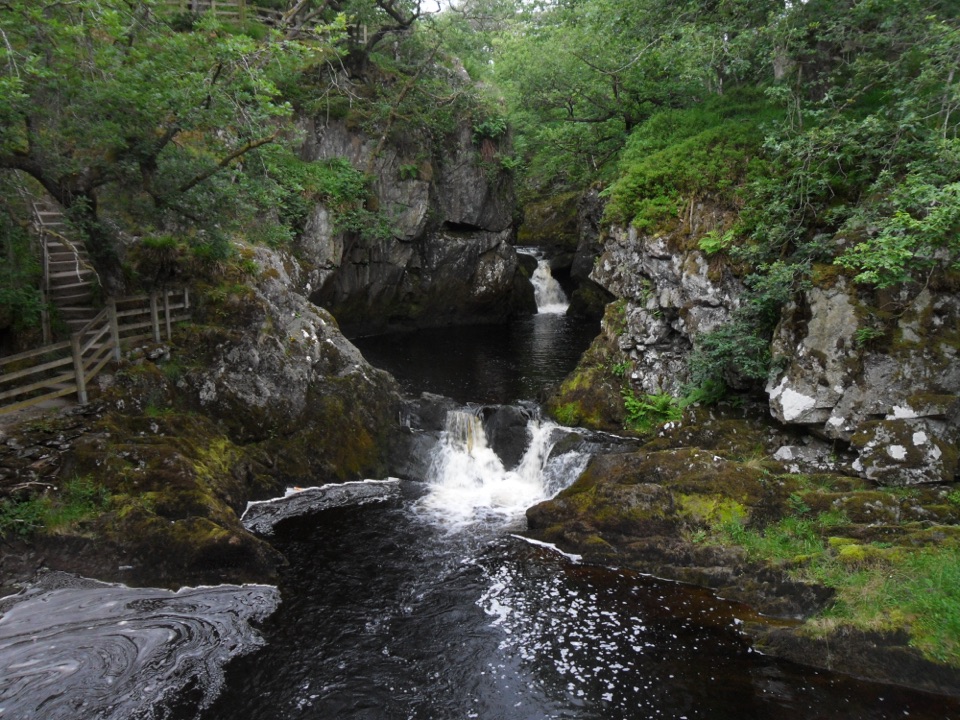 Sight · 6.1 km awayBeezley FallsCascades and Triple Spout on the River Doe in oak woodland
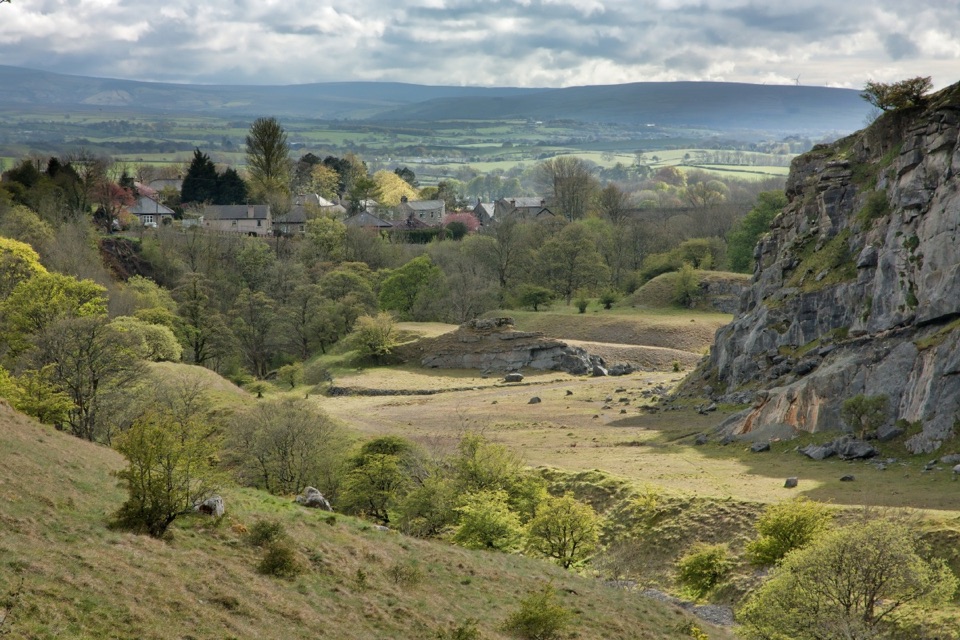 Sight · 6.2 km awayIngletonLimestone base camp for Three Peaks walks, caves and waterfalls
Parkwolf’s Yorkshire Dales ranking
The audio tour guide for the drive, plus offline maps, trails, and wildlife heatmaps for when the signal drops.





