Parking
Start at Waterhouses car park, Waterhouses, Settle, BD24 9PT, grid reference SD886674. Free parking is also available at Quarry car park.
Yorkshire Dales National Park, EN
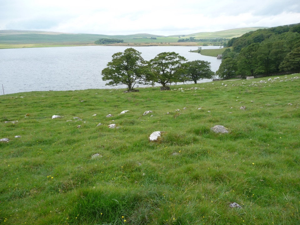
A Tramper-tested loop around a glacial lake, water views the whole way
Overview
Map & elevation
Plan your hike

The highest, rockiest slopes around here are a summer buffet for grizzly bears.
Yorkshire Dales Tour Guide
Parkwolf is a GPS audio tour guide for Yorkshire Dales National Park. As you drive, it chimes in with what’s ahead: hidden gems, upcoming stops, history, geology, and wildlife, right through your car’s speakers.
Recorded for this area
Malham Tarn from Watersinks“You're approaching Watersinks, the start of the walk to Malham Tarn. This broad upland lake is unusual in limestone country, where water normally drains away; glacial clay and gravel help hold it here.”
Plays near this trailhead in the Parkwolf Yorkshire Dales Tour Guide.
More stories near here in the app
“Fantastic app with many points of information… It’s great to just turn on while you’re driving and it gives you an audio tour of the national Park. We love it!!!!”


Trail guide
This is a circular 4.5 mile (7.2 km) loop from Waterhouses, out around Malham Tarn and back to where you started. Plan for 2 to 3 hours at an unhurried pace with stops for the water views. It is officially described as moderate, reasonably flat, and suitable for Trampers, which is a fair description as long as you accept a mix of surfaces rather than a sealed path the whole way.
You leave Waterhouses on a track, over a few speed bumps, with the tarn flickering into view through the trees. The track passes Malham Tarn House and its woodland before you reach the shore, where the walking opens out and the lake is with you properly. Beyond the shore there is a short rough grassy section skirting woodland toward Watersinks; if that looks like more than you want, there is an alternative on the track and road. From Watersinks the route continues by country road and stone track around the reserve and back to Waterhouses.
The loop is designed and tested for Trampers, and it may not suit every mobility scooter. If your machine has limited ground clearance or short range, read the grassy section and the gates as the deciding factors. The boardwalk in the nearby nature reserve is a separate thing altogether and is not suitable for Trampers or other mobility scooters, so do not plan on adding it.
Start from Waterhouses car park, Waterhouses, Settle, BD24 9PT, grid reference SD886674. Free parking is also available at Quarry car park. The trail itself begins a few metres from the Waterhouses parking area, so there is no long approach before you are on route.
One all-terrain Tramper is available through the National Trust and must be booked in advance. Sort that before you travel rather than turning up hopeful.
Dogs are welcome, under close control and on a lead. Livestock may be present in the fields and along the road sections, which is the main reason the lead matters here.
The payoff is broad water, woodland and moorland in one circuit, with Malham Tarn House giving the estate side of the story. Watch for oystercatchers and grebes around the water, roe deer in the woodland and reserve, and colourful wildflowers in summer. The tarn sits in a hollow of boulder clay over impermeable slate beneath the surrounding limestone, which is why there is a lake here at all in a landscape that usually swallows its water; it is worth a moment to look at the limestone above and the held water below.
Wildlife
 10 sightingsEurasian OtterMost seen around 7 PMSighting map
 11 sightingsAtlantic SalmonMost seen around 7 AMSighting map
 12 sightingsShort-eared OwlMost seen around 7 PMSighting map
 22 sightingsWestern Barn OwlMost seen around 6 AMSighting map
 27 sightingsTawny OwlMost seen around 7 PMSighting map
 34 sightingsCommon KingfisherMost seen around 7 AMSighting map
Sighting maps show where each species has been reported across Yorkshire Dales. Wildlife moves, so no sighting is guaranteed.
Keep exploring
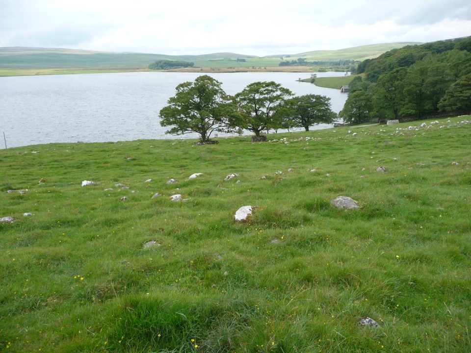 ModerateMalham Tarn Upland Farm Circular Walk7.2 km · 2.6 hr · At the trailheadChallenging 4.5-mile tarn loop on rough grass to a smelt-mill chimney
 EasyWatersinks to Malham Tarn Easy Stroll4.2 km · 1.5 hr · At the trailheadGentle grassy amble beside a high upland tarn, out and back
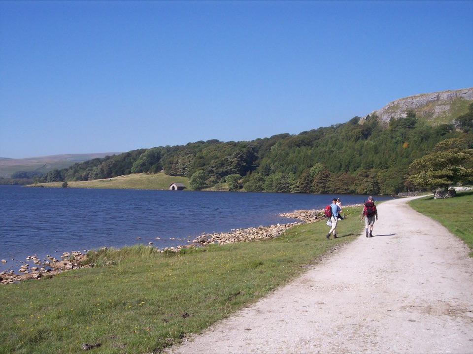 ModerateMalham Tarn Archaeology Walk8.9 km · 3.5 hr · 1.1 km awayRoman camp, Monks' Road and a limestone tarn on one upland loop
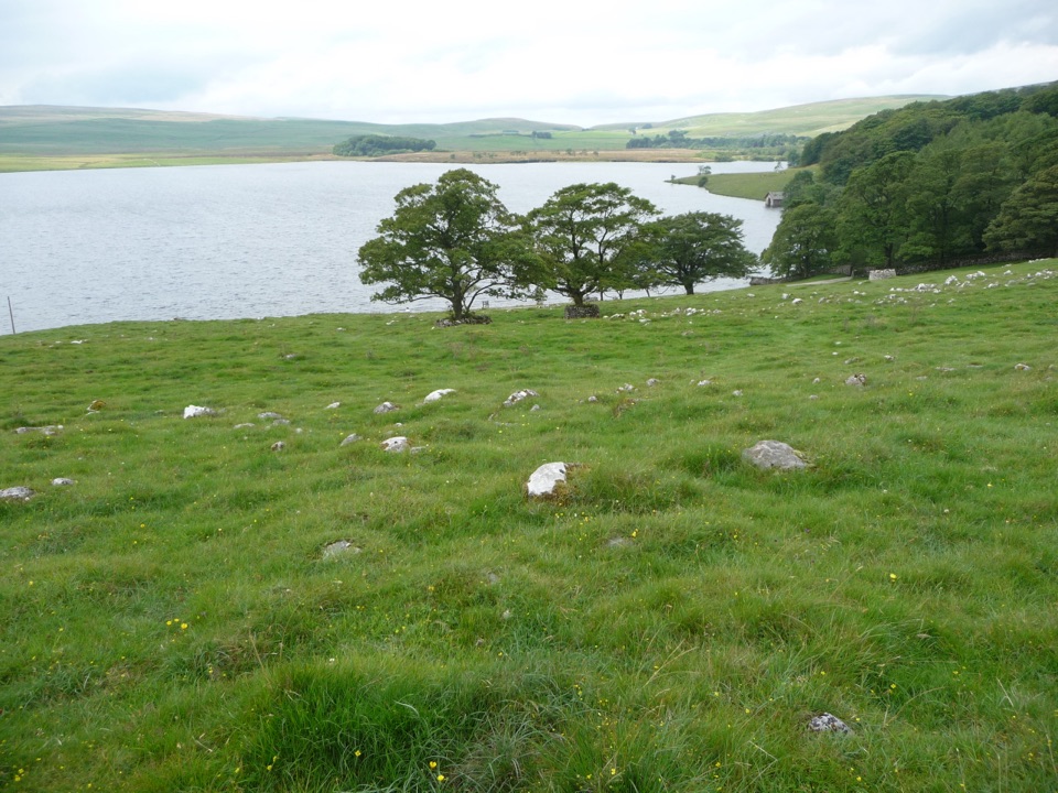 ModerateMalham Moor Circular5.6 km · 1.5 hr · 1.8 km awayA quiet 3.5-mile moor loop above the tarn, map skills required
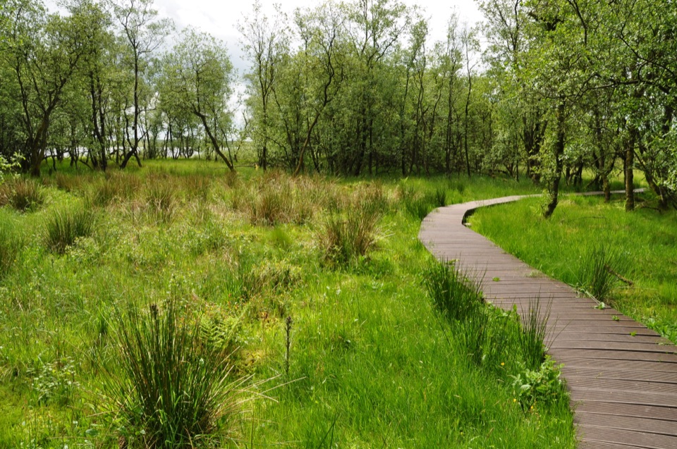 ModerateMalham Tarn National Nature Reserve Walk3.2 km · 1.3 hr · 1.9 km awayBoardwalk through mossy wet woodland, then open limestone pasture
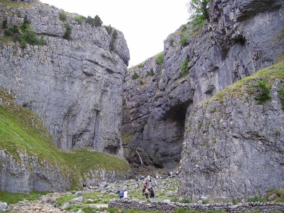 EasyGordale Scar Accessible Walk1.2 km · 45 min · 3.1 km awayWheelchair-friendly path to a towering limestone gorge and its waterfalls
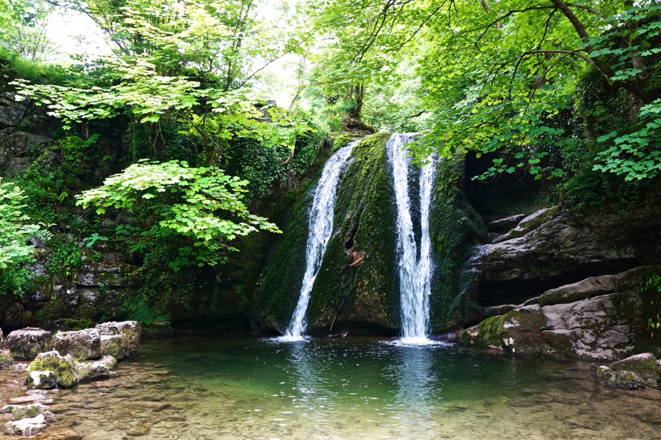 EasyMalham Village to Janet’s Foss4.8 km · 1.5 hr · 3.2 km awayBeckside path to a small woodland waterfall steeped in fairy folklore
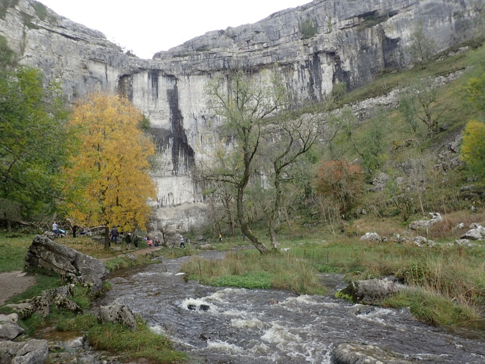 ModerateMalham Cove Accessible Walk3.1 km · 1.8 hr · 3.2 km awayAccessible path to the foot of a 70-metre limestone amphitheatreSight · 0.9 km awayMalham TarnA glacier-made lime-rich lake ringed by bog, boardwalk and birds
 Sight · 1.7 km awayMalham CoveA curving white limestone cliff with a fissured pavement on top
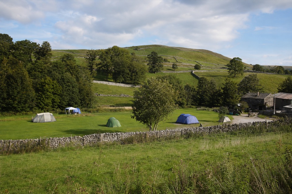 Campground · 2.6 km awayRiverside Campsite MalhamTent camping beside Malham Beck, a field away from the Cove
 Sight · 2.8 km awayGordale ScarHidden gorge where 150m limestone walls close around a tufa waterfall
 Sight · 3 km awayJanet's FossMoss-and-tufa cascade in bluebell woods where a fairy queen once lived
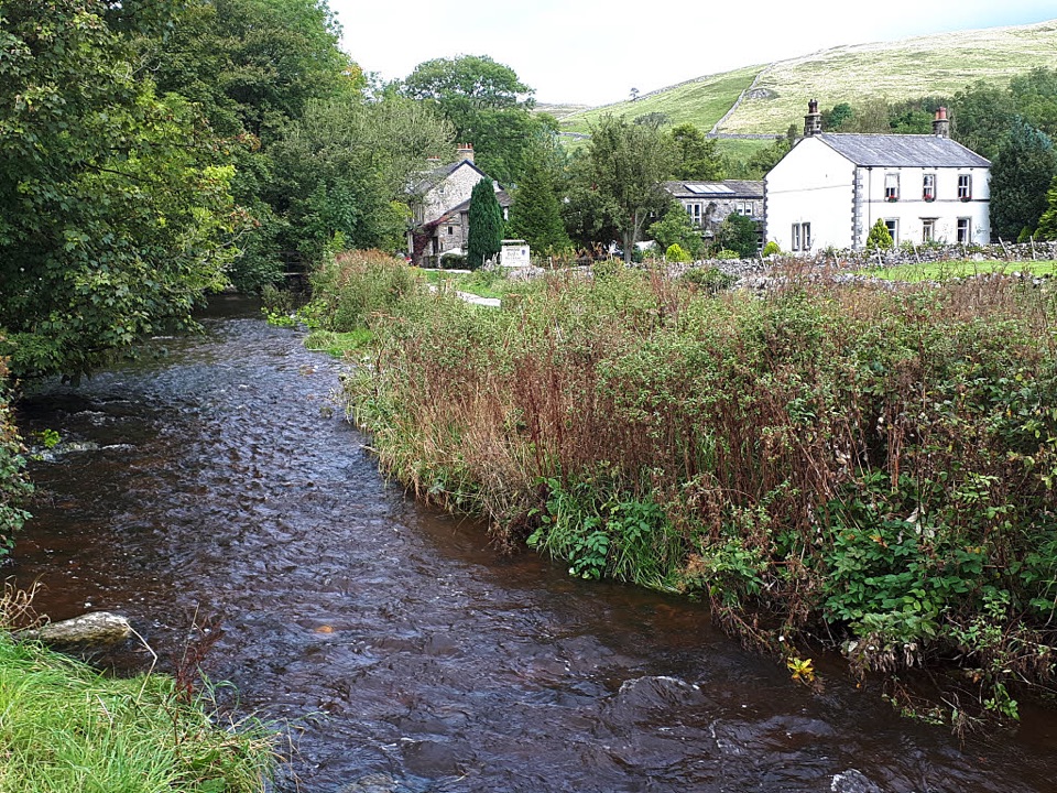 Sight · 3.1 km awayMalhamBeck-side stone village that launches walks to famous limestone cliffs
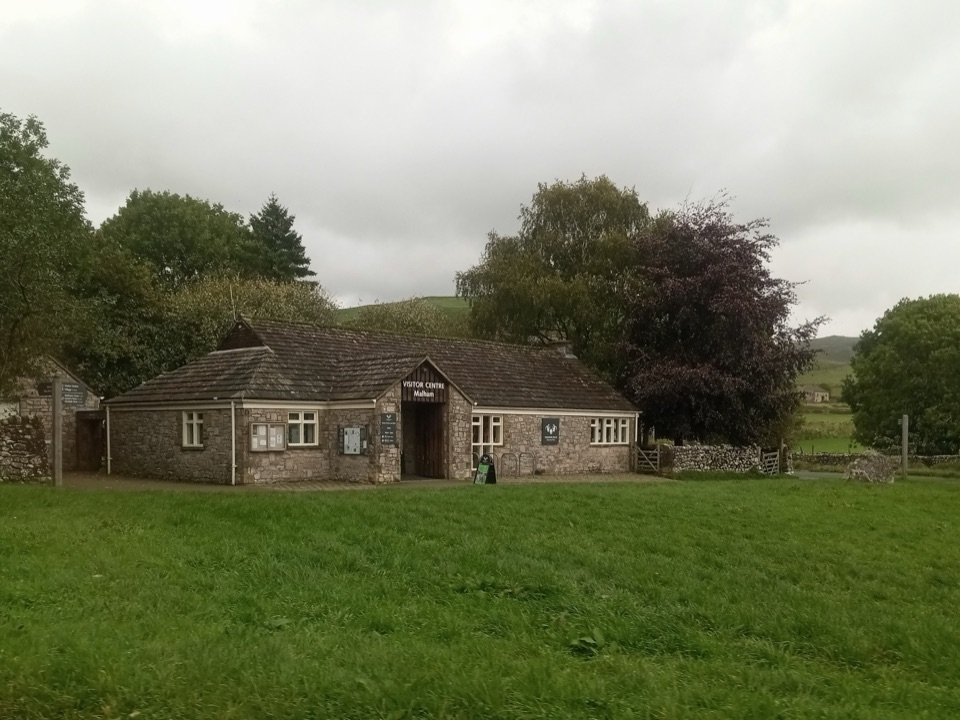 Visitor center · 3.2 km awayMalham National Park CentreMaps, advice and parking before the Cove and Gordale circuit
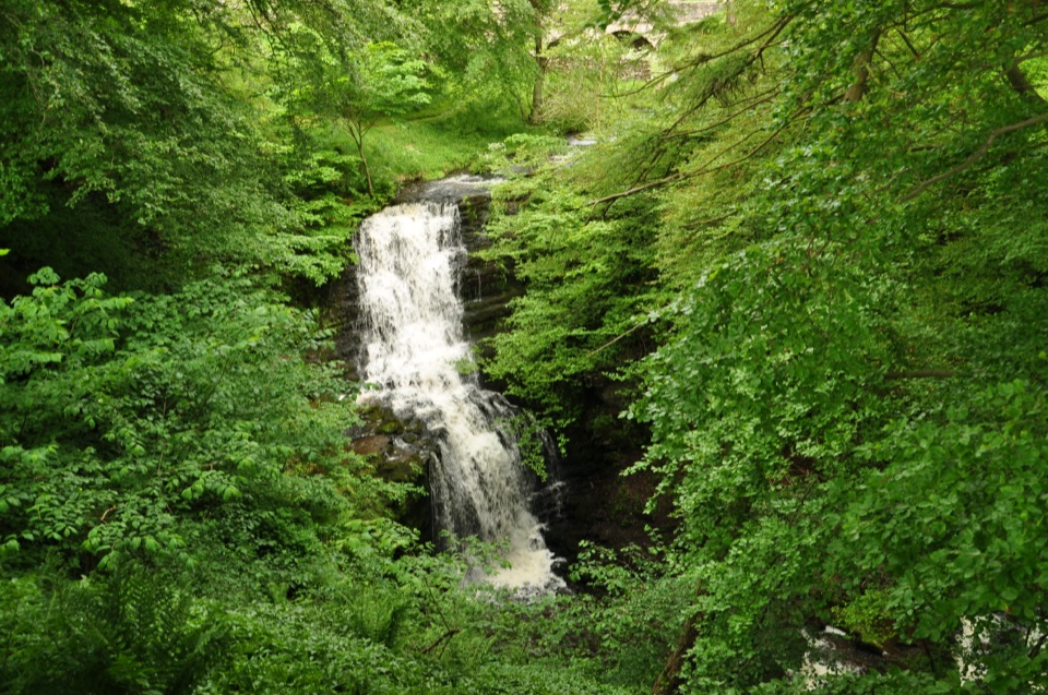 Sight · 6.2 km awayScaleber ForceTwelve metres of limestone cascade hidden in a mossy roadside gorge
Parkwolf’s Yorkshire Dales ranking

The audio tour guide for the drive, plus offline maps, trails, and wildlife heatmaps for when the signal drops.





