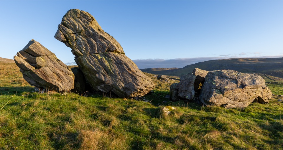
Catrigg Force in Yorkshire Dales National Park

Sight · Yorkshire Dales National Park

Catrigg Force

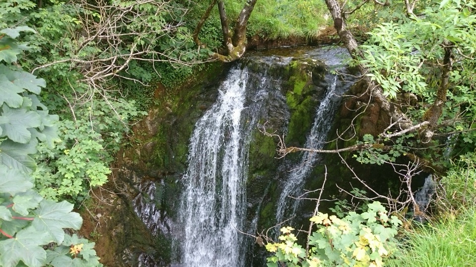
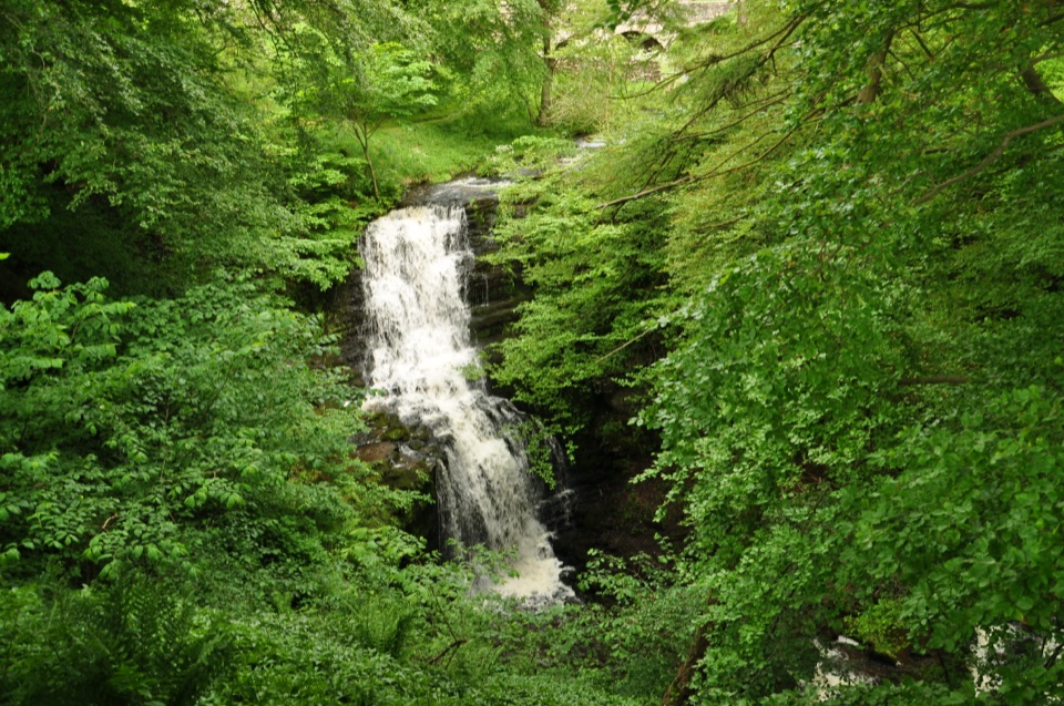
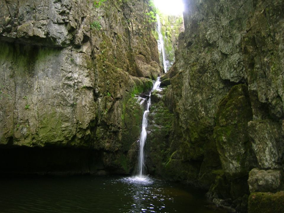
Multi-drop cascade hidden in a mossy limestone gorge above Stainforth

Photo: Wikimedia Commons
Type
Sight
Nearest trail
1.2 km
Audio stories
5 nearby

Hear the audio tour

Catrigg Force from Stainforth

Overview

About Catrigg Force

Why stop

  • Dramatic double-drop cascade in a steep wooded gorge
  • Strong waterfall payoff for a short walk from Stainforth

Heads up

  • Steep and slippery final descent to the base
  • Flow and footing depend on recent weather

Map

Where it is

Loading the Yorkshire Dales map
Full map
SightCatrigg Force54.09934, -2.25810
Keep this map with you offline in the Parkwolf app

Plan your stop

Before you go

Best time to go

Flow makes or breaks this place. It is most impressive after heavy rain, and in a long dry spell the falls can look thin. Overcast light is easiest for photos, since bright sun blows out the white water against the dark gorge walls. Some visitors swim here, but this is cold, unmanaged wild water with no supervision. Tannin-stained, tea-coloured water is normal; a muddy brown torrent means floodwater and is not suitable for swimming. Warm sunny periods tend to bring more people and swimmers to the pool.


Getting there from Stainforth

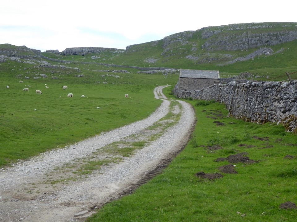
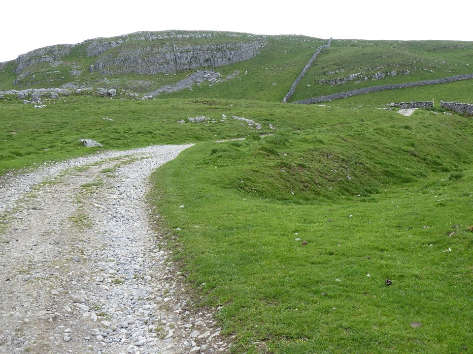
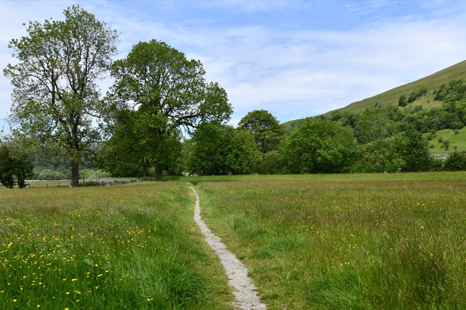
Start at the Stainforth National Park car park in the village. The shortest approach is under a mile each way with roughly 140 m of climbing, using pavement, the bridge, a riverside path and the village green before a fairly steep stony track. A signed gate takes you onto a gravel descent, then a dirt path into the woods.

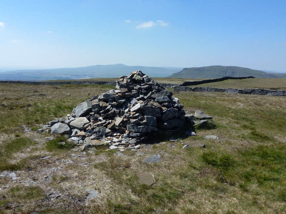
The signed circular walk is about 3 km (2 miles) and takes at least an hour, rated moderate, with several stiles and a steep climb. It crosses the 14th-century bridge, picks up the Pennine Bridleway, climbs a limestone stairway through woodland above Stainforth Scar, passes Upper Winskill Farm, then follows a historic walled lane to the falls. The upper track gives panoramic views of Pen-y-ghent, Ingleborough and Whernside. Longer versions run to about 4 km and take in the base of the Winskill Stones nature reserve and its limestone pavement, with an optional detour to Victoria Cave.

1 active Yorkshire Dales alert

  • ClosureTemporary closures on public rights of wayAvoid the listed sections of public rights of way while their temporary closures or pedestrian prohibition are in force. - Public Bridleway No. 52 (05.Official details
Yorkshire Dales alerts
A park ranger sits on a dash-mounted phone, talking, as Parkwolf’s Tour Guide plays “Army Cutworm Moths: A Grizzly Bear Buffet” on Grand Loop Road below Dunraven Pass in Yellowstone
Parkwolf Tour GuideThe highest, rockiest slopes around here are a summer buffet for grizzly bears.

Yorkshire Dales Tour Guide

Your drive to Catrigg Force, narrated.

Parkwolf is a GPS audio tour guide for Yorkshire Dales National Park. As you drive, it chimes in with what’s ahead: hidden gems, upcoming stops, history, geology, and wildlife, right through your car’s speakers.

Recorded for this place

Catrigg Force from Stainforth
0:00 / 0:25
“You're coming up on Stainforth, the start of the walk to Catrigg Force above the village. It's under a mile each way, but climbs about 140 metres and finishes with a steep, often slippery descent into a wooded gorge.”

Plays as you drive up to Catrigg Force in the Parkwolf Yorkshire Dales Tour Guide.

More stories near here in the app

  • Craven Lime Works
  • The Stones Saved from Rockeries
  • The Fire That Moved Around the Kiln
  • The Salmon's Leap
  • 298 audio storiesacross Yorkshire Dales’s roads, triggered by GPS as you drive
  • Wildlife heatmapsfor Eurasian Otter, Atlantic Salmon, Short-eared Owl, and 13 more
  • Works offlinemaps, 99 trails, 63 places, and audio download before you lose signal
  • CarPlay readysimple controls built for the drive
★★★★★
“Fantastic app with many points of information… It’s great to just turn on while you’re driving and it gives you an audio tour of the national Park. We love it!!!!”
JMJamesApp Store review
Download Parkwolf on the App StoreGet Parkwolf on Google Play

4.7 from 8,600+ ratings

Guide

More about Catrigg Force

What you seeA multi-drop cascade tumbling through a narrow, steep-sided limestone gorge, with mossy rock…

A multi-drop cascade tumbling through a narrow, steep-sided limestone gorge, with mossy rock walls closing in and a dark pool at the foot of the falls. The best views are from the base, looking straight up the drops. The gorge is wooded and sheltered from the wind, which makes it a decent bad-weather option, and in cold snaps ice can form around the edges. It is a genuinely secluded spot for something so close to a village, and Edward Elgar, who had friends in nearby Settle, is said to have enjoyed the walk out here.

How it differs from Stainforth ForceStainforth Force is a separate waterfall, reached from the same Stainforth car park but in the…

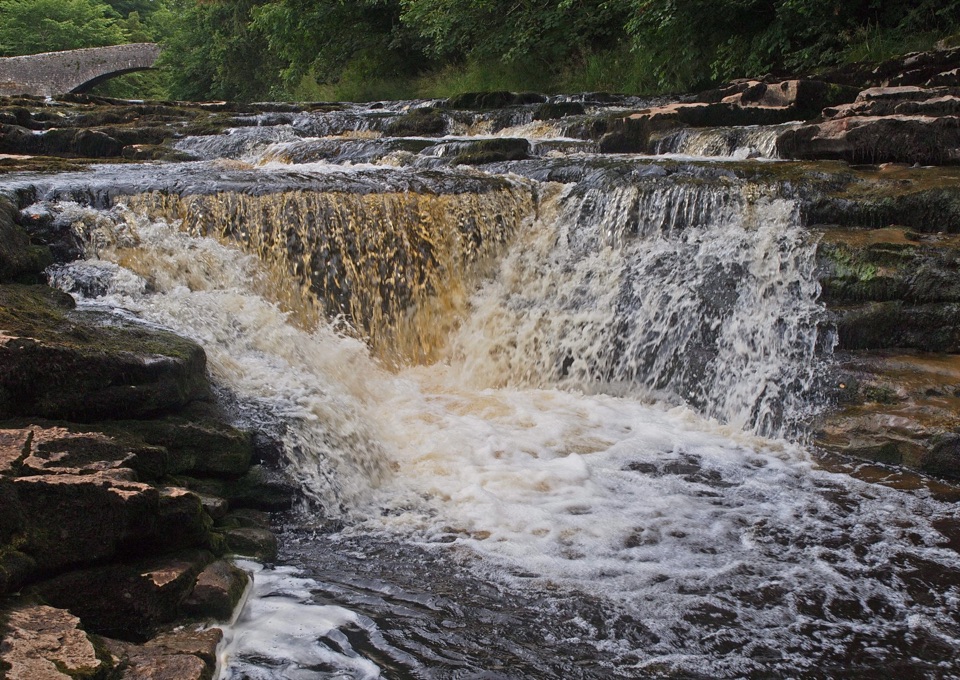
Stainforth Force is a separate waterfall, reached from the same Stainforth car park but in the opposite direction, down on the River Ribble. If you have the time, you can comfortably see both on one outing. Catrigg is the one tucked away in the wooded gorge above the village rather than beside the river.

Footing and facilitiesThe woodland descent into the gorge is steep and often slippery, and the last 50 m or so to the…

The woodland descent into the gorge is steep and often slippery, and the last 50 m or so to the pool is rocky and can be muddy. Take care near the edge on the way down. Reaching the very best viewpoint at the base may involve wading or hopping over slick rocks, so decide before you commit whether that is worth it in your footwear. Toilets are only at the Stainforth car park, with none on the walk, and there is a pub in the village. Dogs are allowed, but expect grazing cattle on the farmland sections.

Honest drawbacksThe payoff is short and the walk in is the bulk of the experience, so it suits people who want…

The payoff is short and the walk in is the bulk of the experience, so it suits people who want a modest hill walk rather than a roadside viewpoint. The final scramble rules it out for anyone unsteady on their feet or pushing a buggy. Fallen branches sometimes collect at the base, and in dry weather the spectacle drops off sharply.

Wildlife

Wildlife in Yorkshire Dales

All Yorkshire Dales wildlife maps

Sighting maps show where each species has been reported across Yorkshire Dales. Wildlife moves, so no sighting is guaranteed.

Keep exploring

Near Catrigg Force

See it all on the map

Trails nearby

More stops nearby

Parkwolf’s Yorkshire Dales ranking

Top sights in Yorkshire Dales

All 63 places
  1. 1Malham CoveSight
  2. 2Aysgarth FallsSight
  3. 3Ribblehead ViaductSight
  4. 4Gordale ScarSight
  5. 5Bolton CastleSight
  6. 6Janet's FossSight

Take Parkwolf to Yorkshire Dales.

The audio tour guide for the drive, plus offline maps, trails, and wildlife heatmaps for when the signal drops.

4.7 from 8,600+ ratings

Download Parkwolf on the App StoreGet Parkwolf on Google Play