Wain Wath Force in Yorkshire Dales National Park

Sight · Yorkshire Dales National Park

Wain Wath Force

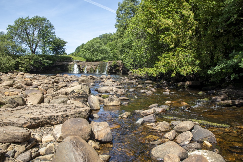
Broad, low falls under limestone cliffs, right beside a Swaledale road

Photo: Wikimedia Commons
Type
Sight
Nearest trail
4.5 km
Audio stories
4 nearby
  • Parking
  • #26 of 53 sights

Hear the audio tour

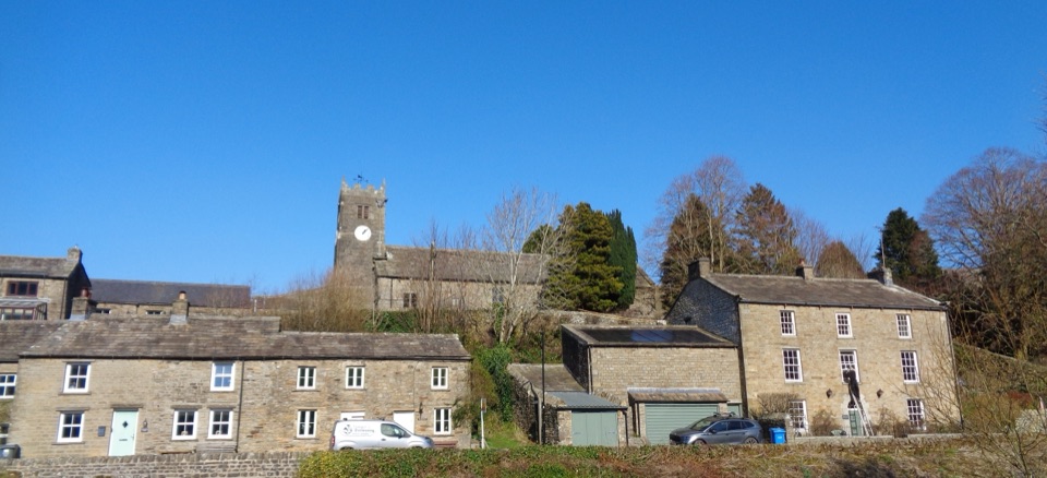
Keld and Wain Wath Force

Overview

About Wain Wath Force

Why stop

  • Wide falls framed by limestone cliffs

Heads up

  • Small drop and slippery riverbank

Map

Where it is

Loading the Yorkshire Dales map
Full map
SightWain Wath Force54.40930, -2.18013
Keep this map with you offline in the Parkwolf app

Plan your stop

Before you go

Best time to go

  • Quietest outside hot summer weekends and school holidays. On warm days the small parking area and the pool both get busy.
  • Early afternoon tends to be the peak; later in the afternoon is often noticeably calmer.
  • After rain the flow is stronger and more dramatic, but rocks are slipperier and the water is deeper and pushier.
  • In dry spells more of the stony riverbed is exposed and depth drops, which changes the look and the swimming entirely.


Parking and access

  • Parking is roadside verge only and very limited, commonly described as space for about four or five cars, and it fills quickly on fine days.
  • Do not block the B6270, verges, gateways or passing places, and do not leave a vehicle where it forces traffic to stop. If there is no safe space, drive on and come back or park in Keld and walk.
  • The route down to the water is short but uneven, with steps and loose stones. Treat it as rough ground rather than a path with handrails.
  • Not suitable if you need step-free ground at the riverside. Viewing from the road is the accessible-feeling option, but the verge and carriageway are shared with traffic, so this is not a wheelchair-accessible site in any formal sense.
  • Facilities are not verified here. Treat it as an undeveloped roadside stop, bring what you need, and plan on using facilities in a village before you arrive.

1 active Yorkshire Dales alert

  • ClosureTemporary closures on public rights of wayAvoid the listed sections of public rights of way while their temporary closures or pedestrian prohibition are in force. - Public Bridleway No. 52 (05.Official details
Yorkshire Dales alerts
A park ranger sits on a dash-mounted phone, talking, as Parkwolf’s Tour Guide plays “Army Cutworm Moths: A Grizzly Bear Buffet” on Grand Loop Road below Dunraven Pass in Yellowstone
Parkwolf Tour GuideThe highest, rockiest slopes around here are a summer buffet for grizzly bears.

Yorkshire Dales Tour Guide

Your drive to Wain Wath Force, narrated.

Parkwolf is a GPS audio tour guide for Yorkshire Dales National Park. As you drive, it chimes in with what’s ahead: hidden gems, upcoming stops, history, geology, and wildlife, right through your car’s speakers.

Recorded for this place

Keld and Wain Wath Force
0:00 / 0:35
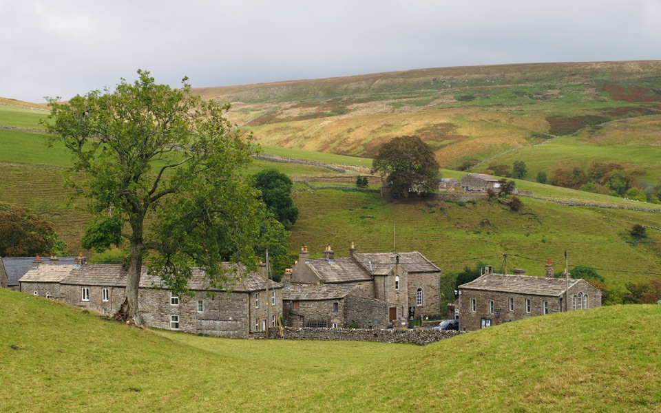
“You're approaching Keld, a small stone hamlet where the Pennine Way and Coast to Coast paths cross.”

Plays as you drive up to Wain Wath Force in the Parkwolf Yorkshire Dales Tour Guide.

More stories near here in the app

  • The Mine Built for a Disappointing Vein
  • The Long Carry to Grinton
  • The Moor’s Gruff Voice
  • The Buttertubs' Short Journey
  • 298 audio storiesacross Yorkshire Dales’s roads, triggered by GPS as you drive
  • Wildlife heatmapsfor Eurasian Otter, Atlantic Salmon, Short-eared Owl, and 13 more
  • Works offlinemaps, 99 trails, 63 places, and audio download before you lose signal
  • CarPlay readysimple controls built for the drive
★★★★★
“Fantastic app with many points of information… It’s great to just turn on while you’re driving and it gives you an audio tour of the national Park. We love it!!!!”
JMJamesApp Store review
Download Parkwolf on the App StoreGet Parkwolf on Google Play

4.7 from 8,600+ ratings

Guide

More about Wain Wath Force

Why it stands outA wide, modest drop of about 1.

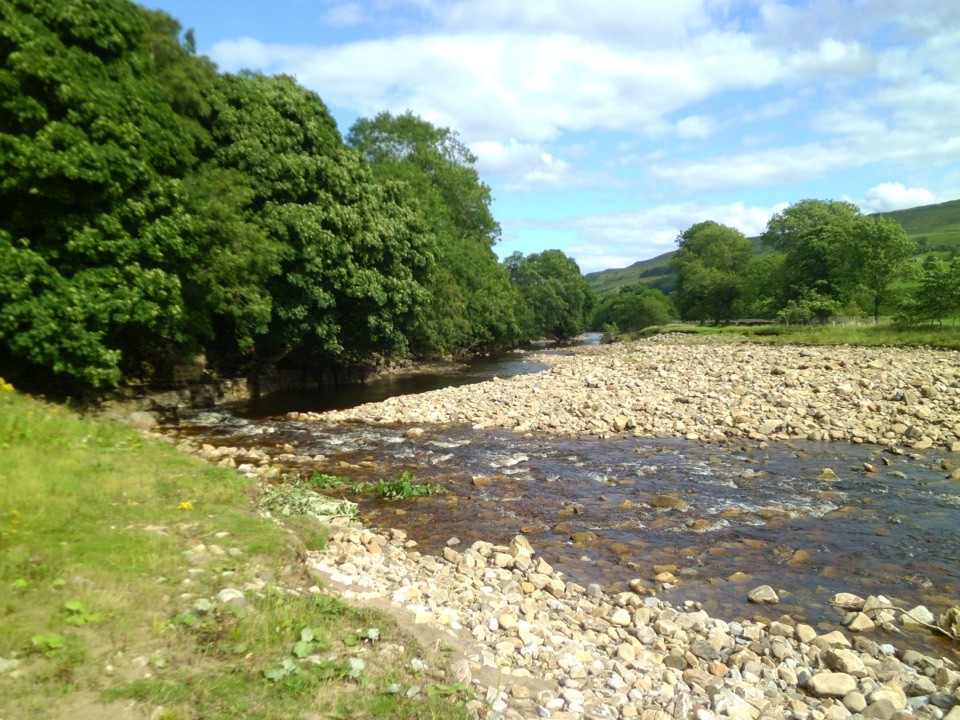
A wide, modest drop of about 1.5 m on the River Swale, spread across the full width of the channel rather than plunging from height. The setting does the heavy lifting: the pale limestone cliffs of Cotterby Scar rise behind, and the water spills into a broad stony pool. The name is thought to relate to an old cart ford. It sits roughly 0.6 miles (1 km) upstream of Keld, just under a mile north of the village by road.

What to do hereView it from the roadside in a couple of minutes, which is the easiest option and works even in…
  • View it from the roadside in a couple of minutes, which is the easiest option and works even in poor weather.
  • Walk down to the stony shore for the classic head-on view of the falls and the scar behind.
  • Photography: the wide curtain of water plus the cliff backdrop suits landscape framing, and autumn colour along the banks is often mentioned. Side light earlier or later in the day is usually kinder than harsh midday glare.
  • Wild swimming and paddling are reported here, in a natural pool with a stony entry. It is unsupervised open water, so read the safety notes below before you consider it.
  • The Coast to Coast route runs along the north bank, with the road on the south bank, so the falls make a natural pause on a longer walking day. Keld itself has further waterfall walks nearby.
Finding itThe falls are beside the B6270 between Keld and West Stonesdale, with the stored map point at…

The falls are beside the B6270 between Keld and West Stonesdale, with the stored map point at roughly 54.40930, -2.18013 (Richmond DL11 6DZ for postcode-based navigation). You can hear and see the water from the road, so it is hard to miss once you are alongside it. Approach roads are narrow with passing places, so drive slowly and be ready to reverse.

Safety and what to bringOfficial Dales guidance is blunt about open water: rivers and lakes can be extremely cold,…
  • Official Dales guidance is blunt about open water: rivers and lakes can be extremely cold, deeper than they look, hard to climb out of, and can hide hazards. Check conditions before entering.
  • Never dive or jump. Depth varies across the pool and with recent weather, and there can be hidden obstacles under the surface.
  • Keep children close at the water's edge; wet limestone and river stones are genuinely slippery.
  • Bring sturdy footwear with grip, warm layers or a towel if anyone gets in, water and snacks, and a bag for your rubbish.
  • Take litter home and skip fires and BBQs, which are out of place on a small, heavily used riverbank.
Honest drawbacksIt is a small waterfall right next to a road, so do not expect a wilderness moment or a big…

It is a small waterfall right next to a road, so do not expect a wilderness moment or a big vertical spectacle. Traffic noise, parked cars and a crowded pool can all break the mood at busy times, and the very limited verge parking is the main practical headache. The riverside scramble rules it out for some visitors, and there is no developed infrastructure to fall back on. As a ten-minute stop woven into a Keld waterfall walk or a Coast to Coast day, though, it earns its reputation.

Wildlife

Wildlife in Yorkshire Dales

All Yorkshire Dales wildlife maps

Sighting maps show where each species has been reported across Yorkshire Dales. Wildlife moves, so no sighting is guaranteed.

Parkwolf’s Yorkshire Dales ranking

Top sights in Yorkshire Dales

All 63 places
  1. 1Malham CoveSight
  2. 2Aysgarth FallsSight
  3. 3Ribblehead ViaductSight
  4. 4Gordale ScarSight
  5. 5Bolton CastleSight
  6. 6Janet's FossSight

Take Parkwolf to Yorkshire Dales.

The audio tour guide for the drive, plus offline maps, trails, and wildlife heatmaps for when the signal drops.

4.7 from 8,600+ ratings

Download Parkwolf on the App StoreGet Parkwolf on Google Play