Parking
Muker car park next to the bridge, grid reference SD 91076 97812. Toilets are available in Muker and Keld; a pub and shop are in Muker and a cafe is in Keld.
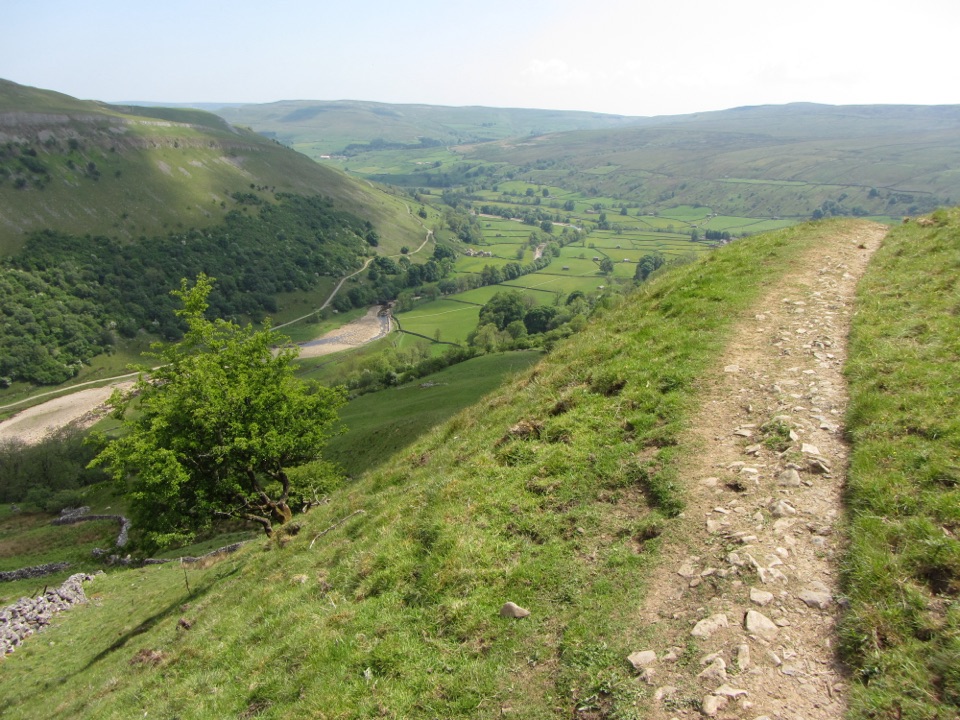
Yorkshire Dales National Park, EN
Meadows, waterfall detour and a hard climb on the old Corpse Road
Overview
Map & elevation
Plan your hike

The highest, rockiest slopes around here are a summer buffet for grizzly bears.
Yorkshire Dales Tour Guide
Parkwolf is a GPS audio tour guide for Yorkshire Dales National Park. As you drive, it chimes in with what’s ahead: hidden gems, upcoming stops, history, geology, and wildlife, right through your car’s speakers.
Recorded for this trailhead
Muker and Its Hay Meadows“You're approaching Muker, a small stone village with one of Swaledale's loveliest hay-meadow walks.”
Plays as you drive up to this trailhead in the Parkwolf Yorkshire Dales Tour Guide.
More stories near here in the app
“Fantastic app with many points of information… It’s great to just turn on while you’re driving and it gives you an audio tour of the national Park. We love it!!!!”


Trail guide
A circular walk of 8.5 km (5.5 miles) from Muker, taking in the River Swale, Keld and the old Corpse Road over Kisdon Hill. Allow a minimum of 2.5 hours, and realistically 3 to 3.5 hours with the waterfall detour, photos and a stop in Keld.
The payoff is a genuine mix: walled field paths, a river gorge with a waterfall option, two of upper Swaledale's best known villages, and a high traverse on a road once used to carry the dead to burial.
Rated strenuous, roughly 7 out of 10. There is one long sustained climb and a steep descent, and the ground varies from stone flags to rooty, uneven riverside path. Expect narrow stone stiles that are awkward with a big pack, small children or a stiff knee, plus tree roots and sections that turn slippery after rain. This is not a flat stroll and it rewards proper boots and poles if you use them.
The riverside half is sheltered. The Corpse Road section is open fellside with nothing to hide behind, so wind, rain and low cloud hit hard and the views that justify the climb can disappear entirely. Carry a windproof layer even on a warm day, and be honest with yourself about the descent in wet conditions.
Start from the car park next to the bridge in Muker, grid reference SD 91076 97812. Toilets are available in both Muker and Keld. Muker has a pub and a shop, and there is a cafe in Keld, which makes the halfway point a natural break.
Dogs may use the public rights of way but should be on a lead around livestock, and on a short lead from March to July for ground-nesting birds. The meadows are farmed for hay, so keep strictly to the public paths, do not trample the grass, and shut gates behind you.
The climb is long, the descent is steep, and the narrow stiles slow groups down. The short tarmac section out of Keld breaks the mood. Livestock, roots and slick ground all need attention rather than autopilot walking. If that sounds like more than you want, this is a circuit to save for a settled day with time in hand.
Wildlife
 10 sightingsEurasian OtterMost seen around 7 PMSighting map
 11 sightingsAtlantic SalmonMost seen around 7 AMSighting map
 12 sightingsShort-eared OwlMost seen around 7 PMSighting map
 22 sightingsWestern Barn OwlMost seen around 6 AMSighting map
 27 sightingsTawny OwlMost seen around 7 PMSighting map
 34 sightingsCommon KingfisherMost seen around 7 AMSighting map
Sighting maps show where each species has been reported across Yorkshire Dales. Wildlife moves, so no sighting is guaranteed.
Keep exploring
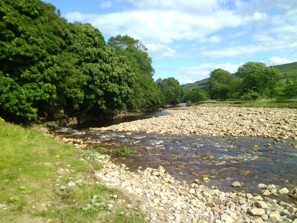 ModerateSwaledale Audio Trail12.7 km · 4 hr · At the trailheadAudio loop past Muker's hay meadows, stone walls and Swale bridges
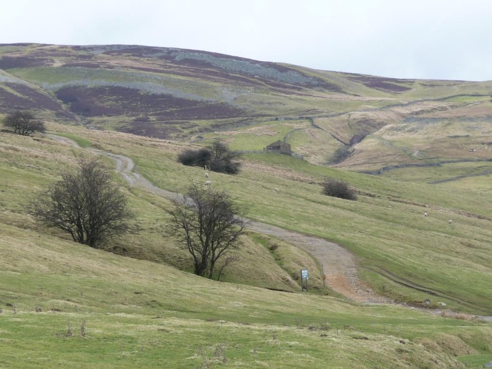 ModerateIvelet Moor Accessible Walk11 km · 3.8 hr · 3 km awayEleven kilometres of surfaced moorland track with broad Swaledale views
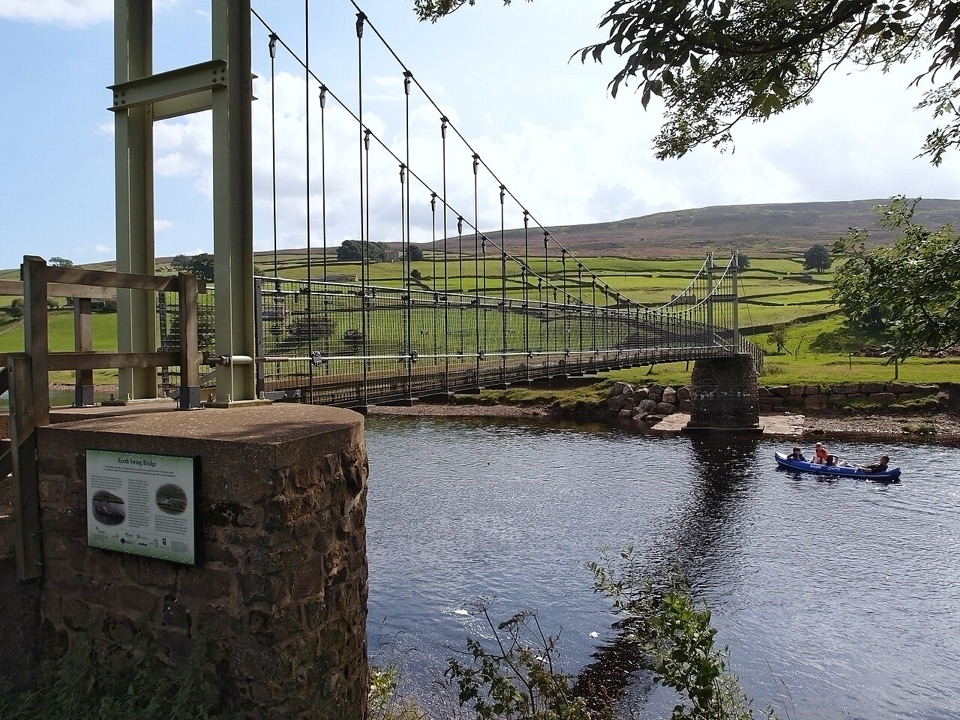 ModerateLow Level Swaledale Walk11.1 km · 2.8 hr · 4.1 km awayRiverside meadows and stone walls from Gunnerside to Reeth Swing Bridge
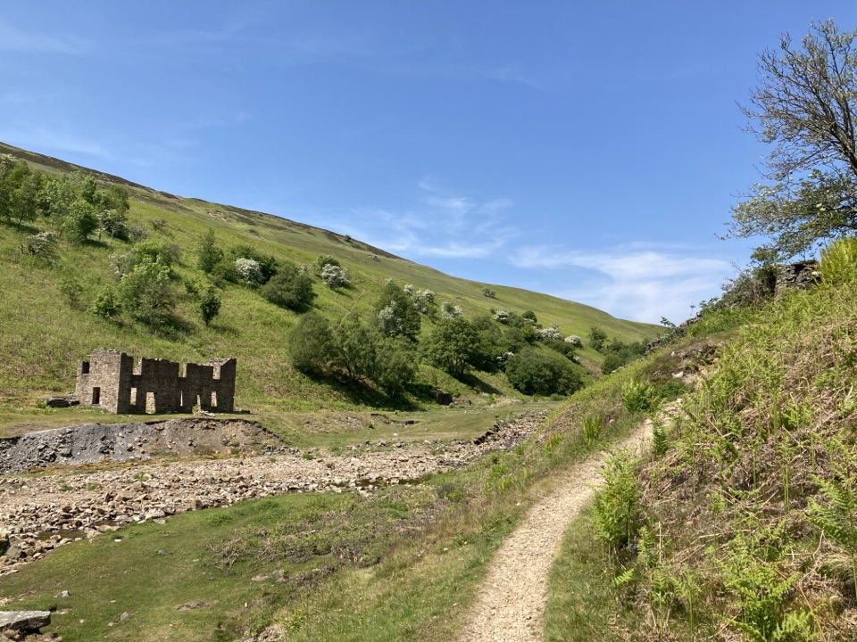 ModerateGunnerside Gill Circular8 km · 3 hr · 4.1 km awayLead-mining ruins deep in a steep gill, with an airy return track
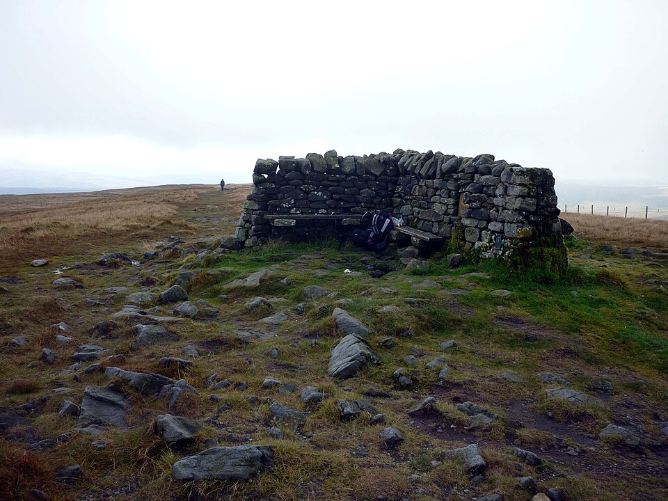 ModerateGreat Shunner Fell14.8 km · 5.7 hr · 7.9 km awaySteady Pennine Way climb from Hardraw to an exposed summit shelter
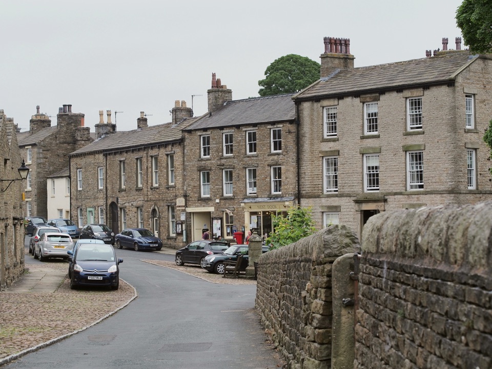 ModerateBainbridge Audio Trail7.2 km · 1.8 hr · 7.9 km awayMills, village greens and old railway on a 4.5-mile audio loop
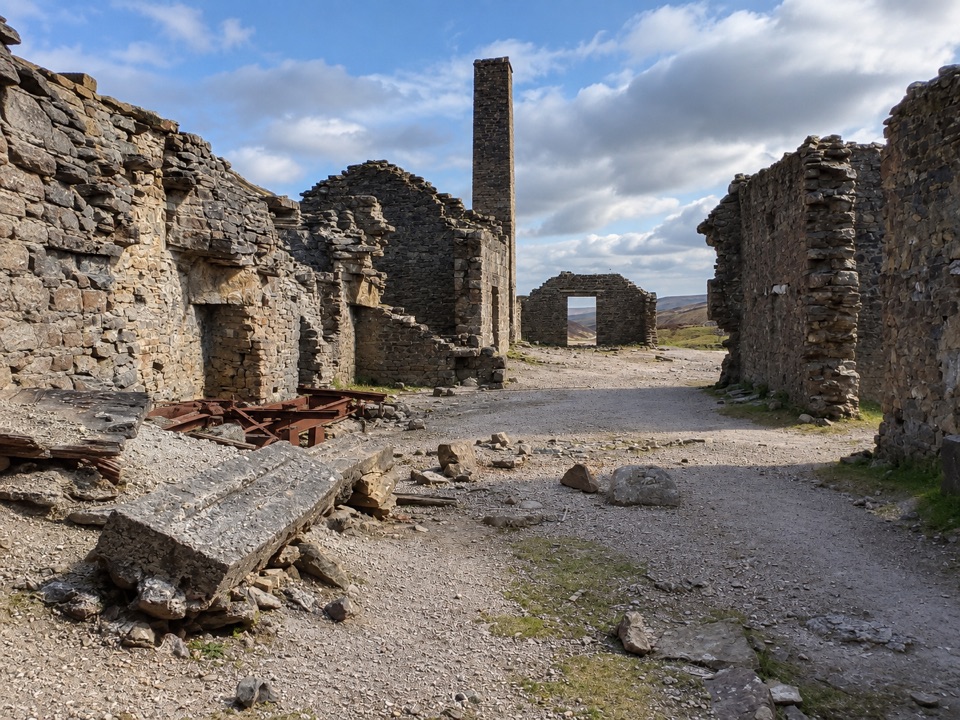 EasyOld Gang Smelt Mill Route6 km · 2 hr · 8.1 km awayWide beckside track to a ruined lead smelt mill, 6 km return
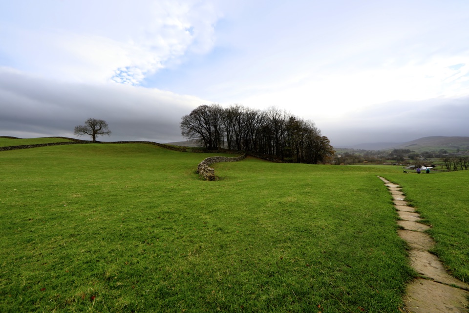 ModerateHawes to Sedbusk Circular5.6 km · 1.8 hr · 8.7 km awayHay meadows, field barns and a packhorse bridge on a short loop
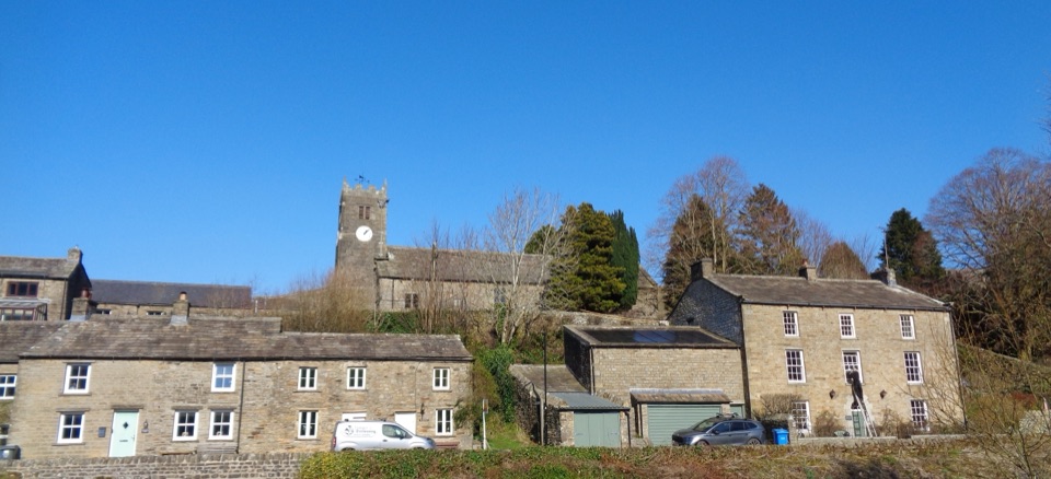 Sight · 0.1 km awayMukerSlate-roofed cottages, hay meadows and four waterfalls up the dale
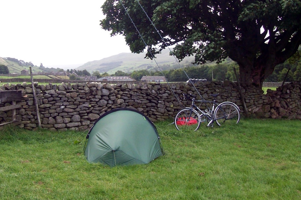 Campground · 0.9 km awayUsha Gap Farm & CampsitePitch beside a beck on a working Swaledale sheep farm
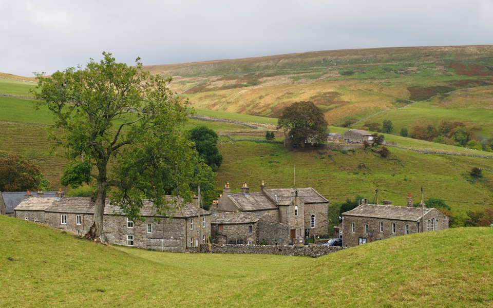 Sight · 3.7 km awayKeldQuiet stone hamlet at Swaledale's head, ringed by waterfalls and paths
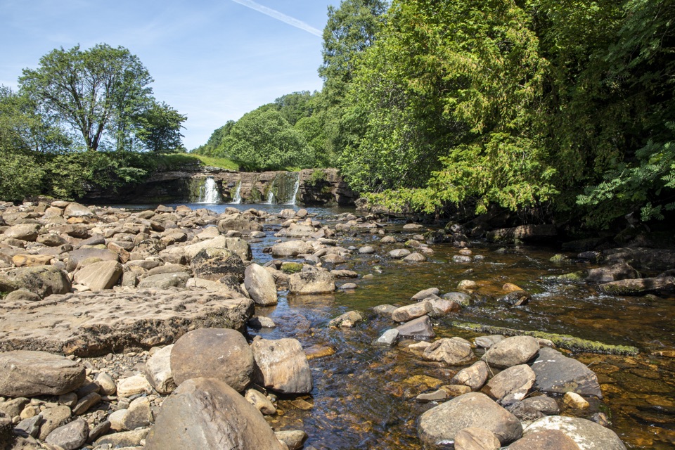 Sight · 4.5 km awayWain Wath ForceBroad, low falls under limestone cliffs, right beside a Swaledale road
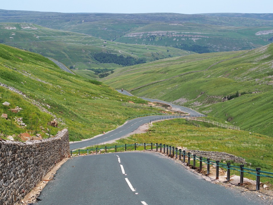 Sight · 4.8 km awayButtertubs PassButtertubs Pass climbs between two dales past deep limestone potholes
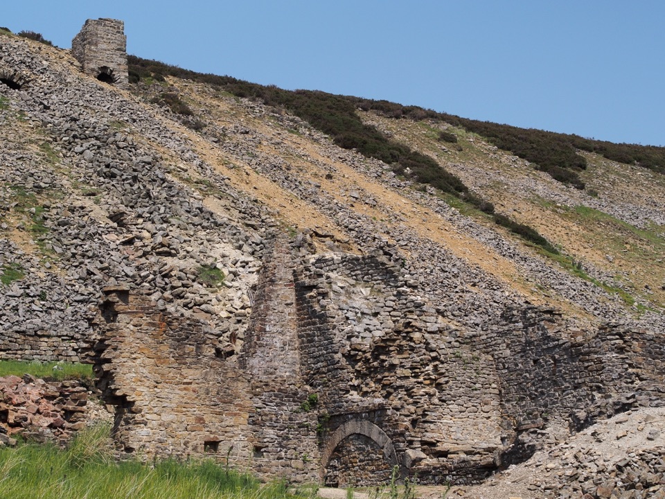 Sight · 6.9 km awayOld Gang Smelting MillRuined lead smelt mill and chimney on a moorland beck in Swaledale
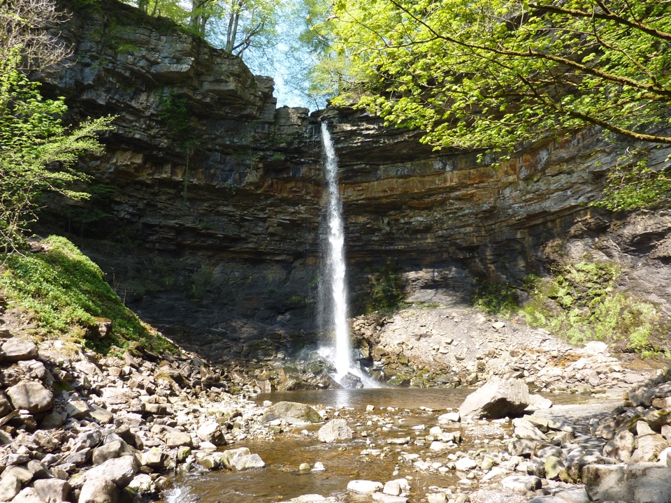 Sight · 7.4 km awayHardraw ForceEngland's highest single-drop waterfall, a ten-minute walk from the gate
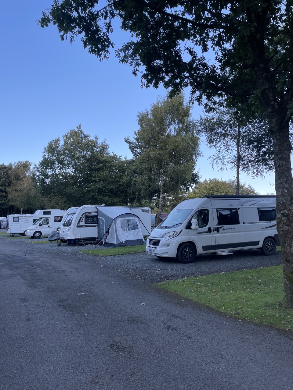 Campground · 8.2 km awayHawes Caravan and Motorhome Club CampsiteMembers-only touring base a ten-minute walk from Hawes market town
Parkwolf’s Yorkshire Dales ranking

The audio tour guide for the drive, plus offline maps, trails, and wildlife heatmaps for when the signal drops.





