Muker in Yorkshire Dales National Park

Sight · Yorkshire Dales National Park

Muker

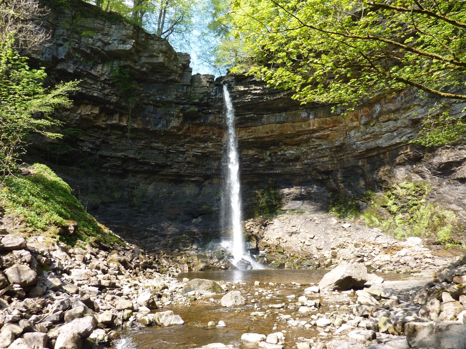
Slate-roofed cottages, hay meadows and four waterfalls up the dale

Photo: Wikimedia Commons
Type
Sight
Nearest trail
0.1 km
Audio stories
4 nearby
  • Parking
  • Restrooms
  • Food
  • Store

Hear the audio tour

Muker and Its Hay Meadows

Overview

About Muker

Why stop

  • Walking starts straight from a compact historic village
  • Exceptional hay-meadow scenery in late spring and early summer

Heads up

  • Small and easy to see quickly unless you walk beyond the village
  • Popular meadow season can mean busy lanes and paths
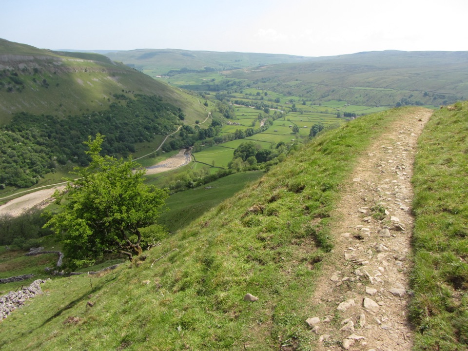
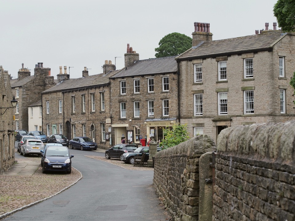
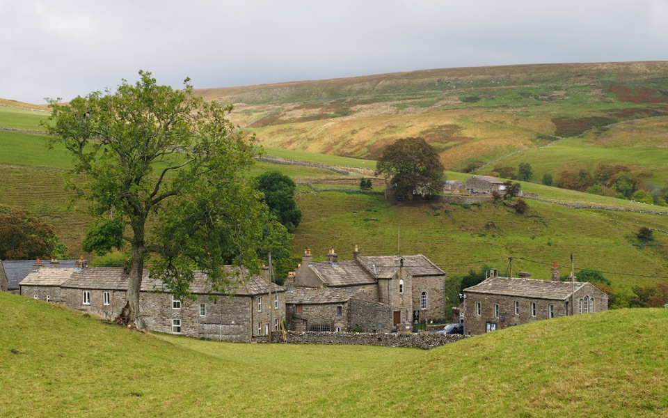
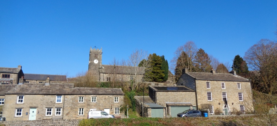
A small farming village on the hillside above the River Swale, with fewer than 300 residents, slate-roofed stone cottages and dry-stone walls that have changed little in hundreds of years. It works best as a walking base and a proper break point, not as a big-ticket attraction with a list of separate sights.
Parkwolf’s verdictWhy stop

Map

Where it is

Loading the Yorkshire Dales map
Full map
SightMuker54.37670, -2.14012
Keep this map with you offline in the Parkwolf app

Plan your stop

Before you go

Best time to go

The meadow display is a short window from late May to early July, with June often the peak, so that is when the fields look their best and also when the village and paths are busiest, especially at weekends. Outside that window it is quieter, and the stone-and-slate village with the church still photographs well in clear light. Keep expectations realistic: this is a working rural community with limited amenities rather than a visitor complex, and the reward is the walking, the meadows and the setting rather than a long list of things to tick off.


1 active Yorkshire Dales alert

  • ClosureTemporary closures on public rights of wayAvoid the listed sections of public rights of way while their temporary closures or pedestrian prohibition are in force. - Public Bridleway No. 52 (05.Official details
Yorkshire Dales alerts
A park ranger sits on a dash-mounted phone, talking, as Parkwolf’s Tour Guide plays “Army Cutworm Moths: A Grizzly Bear Buffet” on Grand Loop Road below Dunraven Pass in Yellowstone
Parkwolf Tour GuideThe highest, rockiest slopes around here are a summer buffet for grizzly bears.

Yorkshire Dales Tour Guide

Your drive to Muker, narrated.

Parkwolf is a GPS audio tour guide for Yorkshire Dales National Park. As you drive, it chimes in with what’s ahead: hidden gems, upcoming stops, history, geology, and wildlife, right through your car’s speakers.

Recorded for this place

Muker and Its Hay Meadows
0:00 / 0:31
“You're approaching Muker, a small stone village with one of Swaledale's loveliest hay-meadow walks.”

Plays as you drive up to Muker in the Parkwolf Yorkshire Dales Tour Guide.

More stories near here in the app

  • The Buttertubs' Short Journey
  • The Long Carry to Grinton
  • The Miners' Artificial Flood
  • Keld and Wain Wath Force
  • 298 audio storiesacross Yorkshire Dales’s roads, triggered by GPS as you drive
  • Wildlife heatmapsfor Eurasian Otter, Atlantic Salmon, Short-eared Owl, and 13 more
  • Works offlinemaps, 99 trails, 63 places, and audio download before you lose signal
  • CarPlay readysimple controls built for the drive
★★★★★
“Fantastic app with many points of information… It’s great to just turn on while you’re driving and it gives you an audio tour of the national Park. We love it!!!!”
JMJamesApp Store review
Download Parkwolf on the App StoreGet Parkwolf on Google Play

4.7 from 8,600+ ratings

Guide

More about Muker

What you see and doTwo pubs, bed and breakfasts, a village store, a gallery, and a shop selling handcrafted…
  • Two pubs, bed and breakfasts, a village store, a gallery, and a shop selling handcrafted knitwear made with local wool.
  • St Mary's Church, dated to 1580 and one of the few English churches built during the reign of Elizabeth I. From the car park you get the classic view of village rooftops with the church tower behind.
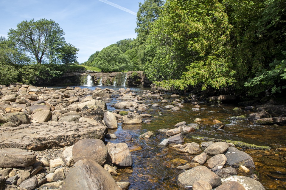
  • Footpaths straight out of the village lead across hay meadows, around Kisdon Gorge and up to Keld, passing four waterfalls on the way.
  • Both the Pennine Way and Wainwright's Coast to Coast pass through, so you will often share the lanes with long-distance walkers. There is also a popular circular route of around 6.9 miles from the village.
Meadows and etiquetteThe fields near the village include the Muker Meadows Site of Special Scientific Interest and…

The fields near the village include the Muker Meadows Site of Special Scientific Interest and part of the Northern Pennine Dales Meadows Special Area of Conservation. They are privately owned and actively farmed for hay, with public footpaths running through them. Flowers can include meadow buttercup, bistort, wood crane's-bill, globeflower, yellow-rattle, melancholy thistle and eyebright, and in good conditions you may see bees, butterflies and birds around them.

Stay on the public footpaths, walk single file through the meadow sections, do not trample the hay crop, keep dogs close and preferably on a lead, and follow the Countryside Code.

PracticalitiesThere is a 30-bay long-stay car park in the village and a public toilet opposite the village…

There is a 30-bay long-stay car park in the village and a public toilet opposite the village shop, which includes an accessible cubicle with RADAR key access. The village itself is small and hilly, and the meadow and gorge paths are uneven and exposed to weather, so bring proper footwear and layers whatever the forecast.

Wildlife

Wildlife in Yorkshire Dales

All Yorkshire Dales wildlife maps

Sighting maps show where each species has been reported across Yorkshire Dales. Wildlife moves, so no sighting is guaranteed.

Keep exploring

Near Muker

See it all on the map

Trails nearby

More stops nearby

Parkwolf’s Yorkshire Dales ranking

Top sights in Yorkshire Dales

All 63 places
  1. 1Malham CoveSight
  2. 2Aysgarth FallsSight
  3. 3Ribblehead ViaductSight
  4. 4Gordale ScarSight
  5. 5Bolton CastleSight
  6. 6Janet's FossSight

Take Parkwolf to Yorkshire Dales.

The audio tour guide for the drive, plus offline maps, trails, and wildlife heatmaps for when the signal drops.

4.7 from 8,600+ ratings

Download Parkwolf on the App StoreGet Parkwolf on Google Play