Parking
Use the small car park beside Gunnerside Literary Institute, near the bridge. Public toilets are available near the King's Head; the village is also served by bus from Reeth.
Yorkshire Dales National Park, EN
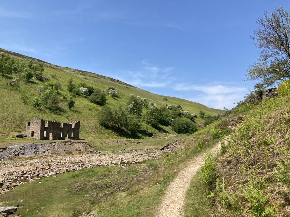
Lead-mining ruins deep in a steep gill, with an airy return track
Overview
Map & elevation
Plan your hike

The highest, rockiest slopes around here are a summer buffet for grizzly bears.
Yorkshire Dales Tour Guide
Parkwolf is a GPS audio tour guide for Yorkshire Dales National Park. As you drive, it chimes in with what’s ahead: hidden gems, upcoming stops, history, geology, and wildlife, right through your car’s speakers.
Recorded for this trailhead
Gunnerside Gill Walk“You're coming up on Gunnerside, the start of a five-mile loop into Gunnerside Gill. Follow the beck into a steep-sided valley, where abandoned mine levels and raw hushing scars show how much work went on here.”
Plays as you drive up to this trailhead in the Parkwolf Yorkshire Dales Tour Guide.
More stories near here in the app
“Fantastic app with many points of information… It’s great to just turn on while you’re driving and it gives you an audio tour of the national Park. We love it!!!!”


Trail guide
A circular walk of about 5 miles from Gunnerside village, which is the official distance convention for this route. The mapped line is drawn in fine detail and comes out slightly longer at 5.67 miles, so treat 5 miles as the rounded headline figure rather than a precise measurement.
You head north out of the village on a stone track and footpath that stays close to Gunnerside Beck, through Birkbeck Wood and up into the narrowing gill. The industrial remains build as you go: Sir Francis Level, Dolly Level, then a larger spread of workings with bouse teams, a ruined smithy, a waterwheel pit and the raw hushing scars carved into the hillsides. The turnaround is Blakethwaite Smelt Mill and its peat store, the biggest single set of ruins on the walk. The return climbs to a higher grassy and stone track that looks back down into the gill from above before dropping to the village connector.
Moderate rather than hard, with roughly 220 metres between the lowest and highest ground on the route. Expect rocky and uneven sections, steps, woodland paths and stretches that turn muddy after rain. Boots with grip are worth having, and the streamside sections put you close to the water in places, which matters if you are walking with children.
This is a working landscape that was abandoned, not tidied. Old shafts may be open or poorly capped and some sit close to the path, so stay on the route and keep children and dogs under close control. Do not handle loose lead ore, and wash your hands before eating. Weather in the gill can change fast, so carry a layer even on a settled looking day.
The strongest material is the contrast between the tight, steep-sided gill and the scale of the ruins sitting in it. The smelt mill and peat store give you structure and depth, and the higher return track is where you get the overview shots looking back down the valley that you cannot take from the bottom.
Wildlife
 10 sightingsEurasian OtterMost seen around 7 PMSighting map
 11 sightingsAtlantic SalmonMost seen around 7 AMSighting map
 12 sightingsShort-eared OwlMost seen around 7 PMSighting map
 22 sightingsWestern Barn OwlMost seen around 6 AMSighting map
 27 sightingsTawny OwlMost seen around 7 PMSighting map
 34 sightingsCommon KingfisherMost seen around 7 AMSighting map
Sighting maps show where each species has been reported across Yorkshire Dales. Wildlife moves, so no sighting is guaranteed.
Keep exploring
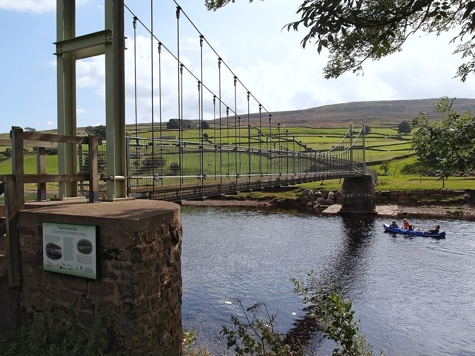 ModerateLow Level Swaledale Walk11.1 km · 2.8 hr · At the trailheadRiverside meadows and stone walls from Gunnerside to Reeth Swing Bridge
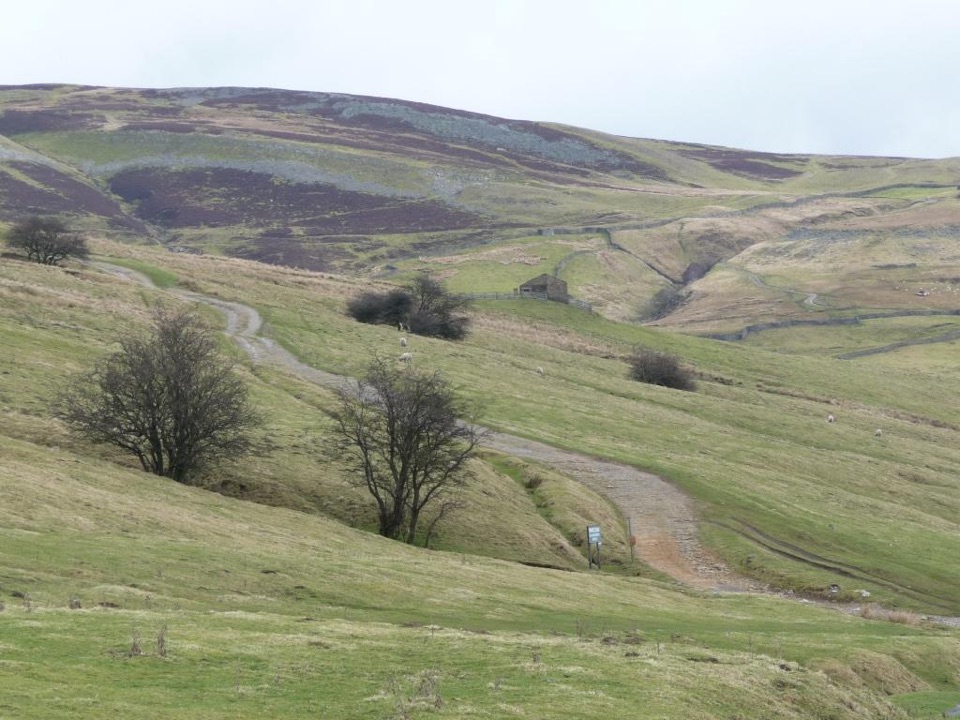 ModerateIvelet Moor Accessible Walk11 km · 3.8 hr · 1.1 km awayEleven kilometres of surfaced moorland track with broad Swaledale views
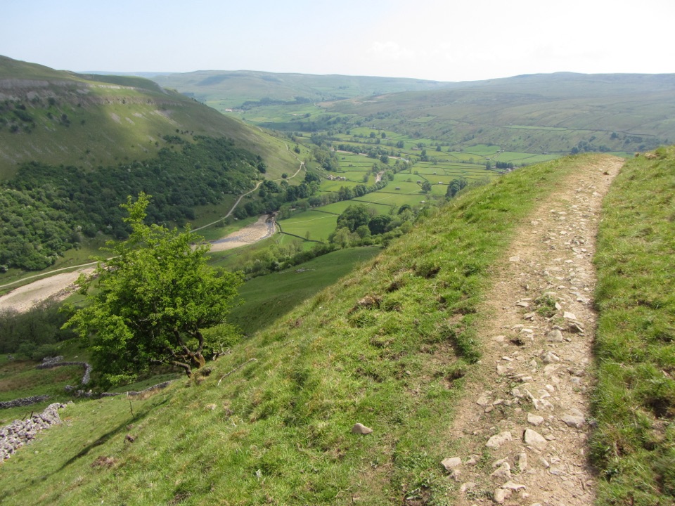 ChallengingMuker, Keld and the Corpse Way8.9 km · 3.5 hr · 4.1 km awayMeadows, waterfall detour and a hard climb on the old Corpse Road
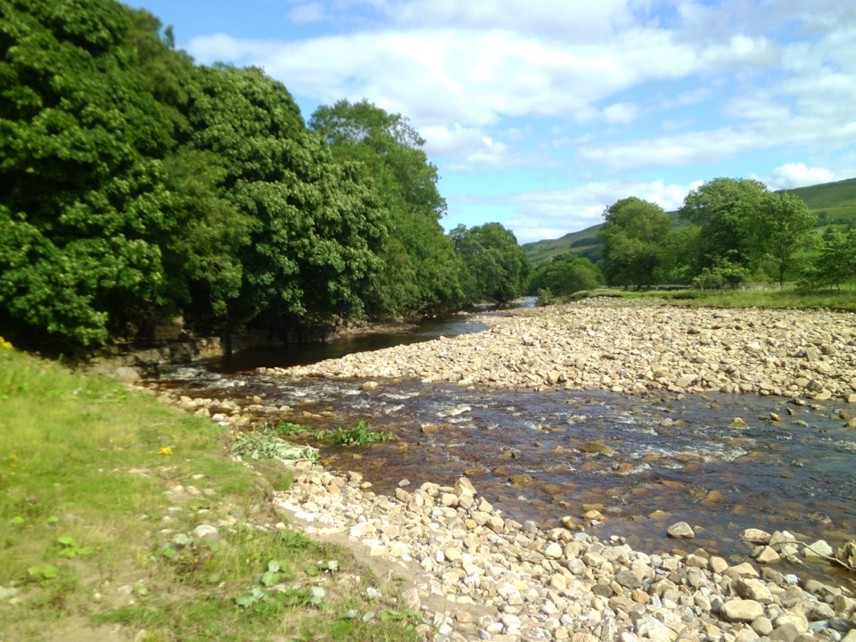 ModerateSwaledale Audio Trail12.7 km · 4 hr · 4.1 km awayAudio loop past Muker's hay meadows, stone walls and Swale bridges
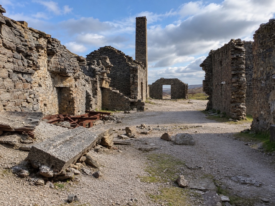 EasyOld Gang Smelt Mill Route6 km · 2 hr · 4.2 km awayWide beckside track to a ruined lead smelt mill, 6 km return
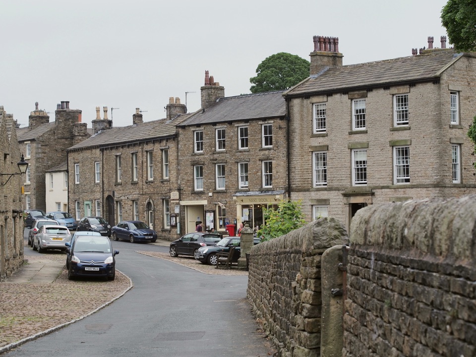 ModerateBainbridge Audio Trail7.2 km · 1.8 hr · 8.2 km awayMills, village greens and old railway on a 4.5-mile audio loop
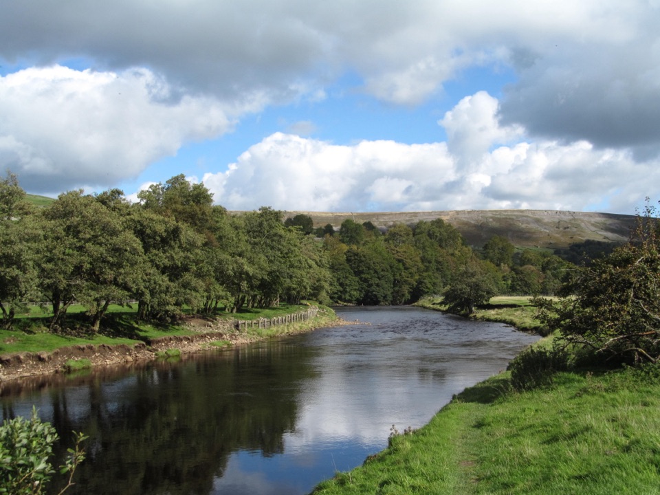 EasyReeth and Healaugh Circular4.5 km · 1.3 hr · 8.7 km awayVillage lanes and field paths to Healaugh, with a riverside return
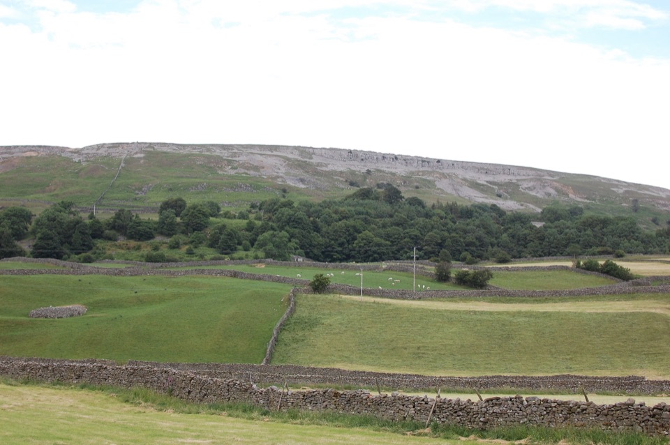 ModerateReeth Low Common4 km · 1.5 hr · 8.8 km awayField paths, a steep rocky lane and big views over the dale
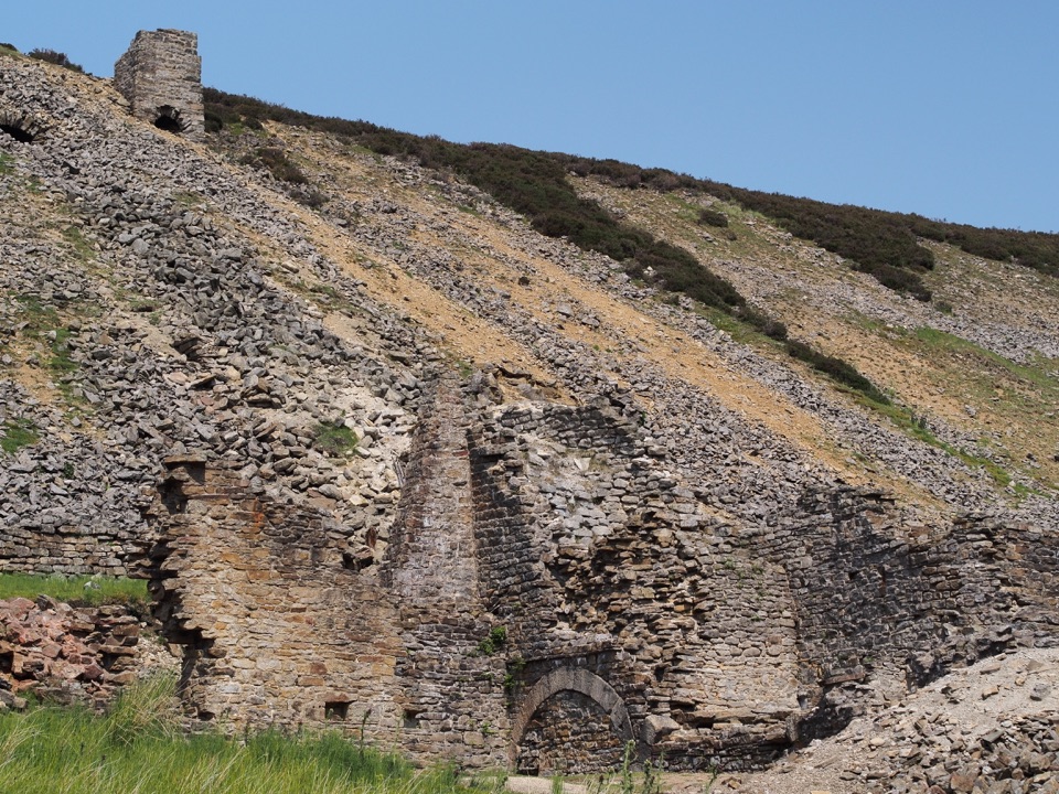 Sight · 3.3 km awayOld Gang Smelting MillRuined lead smelt mill and chimney on a moorland beck in Swaledale
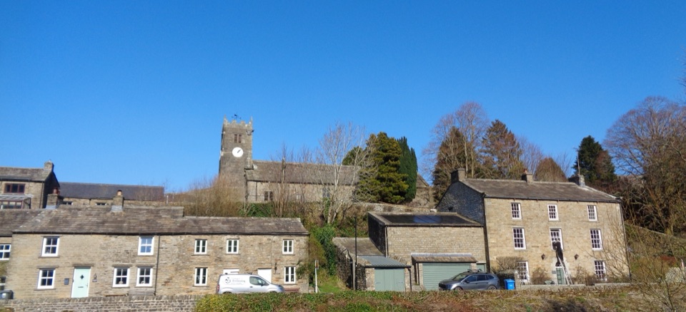 Sight · 4.1 km awayMukerSlate-roofed cottages, hay meadows and four waterfalls up the dale
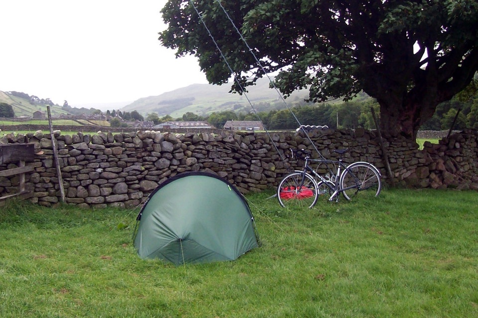 Campground · 4.9 km awayUsha Gap Farm & CampsitePitch beside a beck on a working Swaledale sheep farm
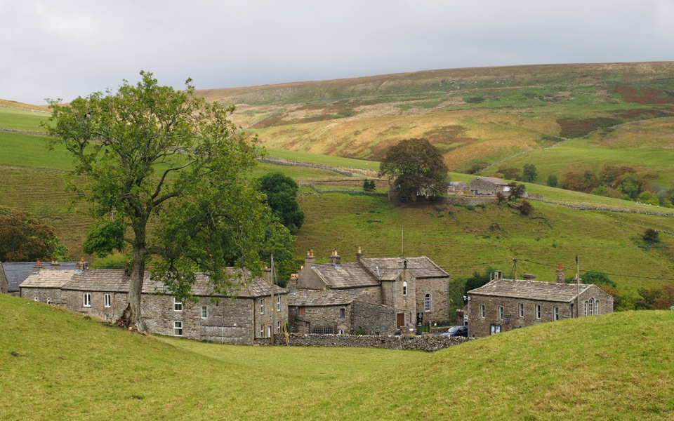 Sight · 6.5 km awayKeldQuiet stone hamlet at Swaledale's head, ringed by waterfalls and paths
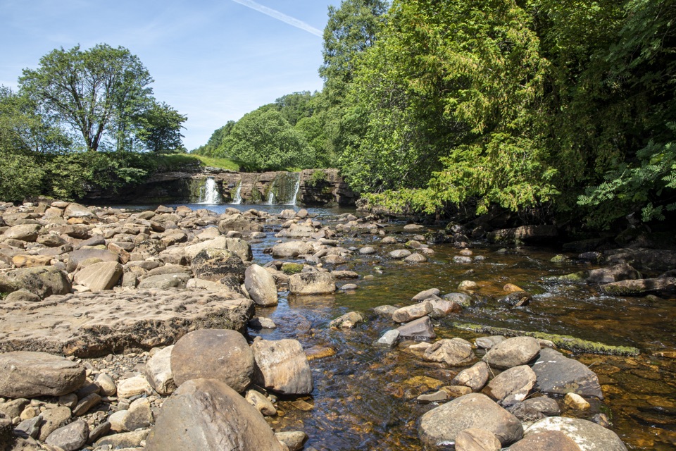 Sight · 7.4 km awayWain Wath ForceBroad, low falls under limestone cliffs, right beside a Swaledale road
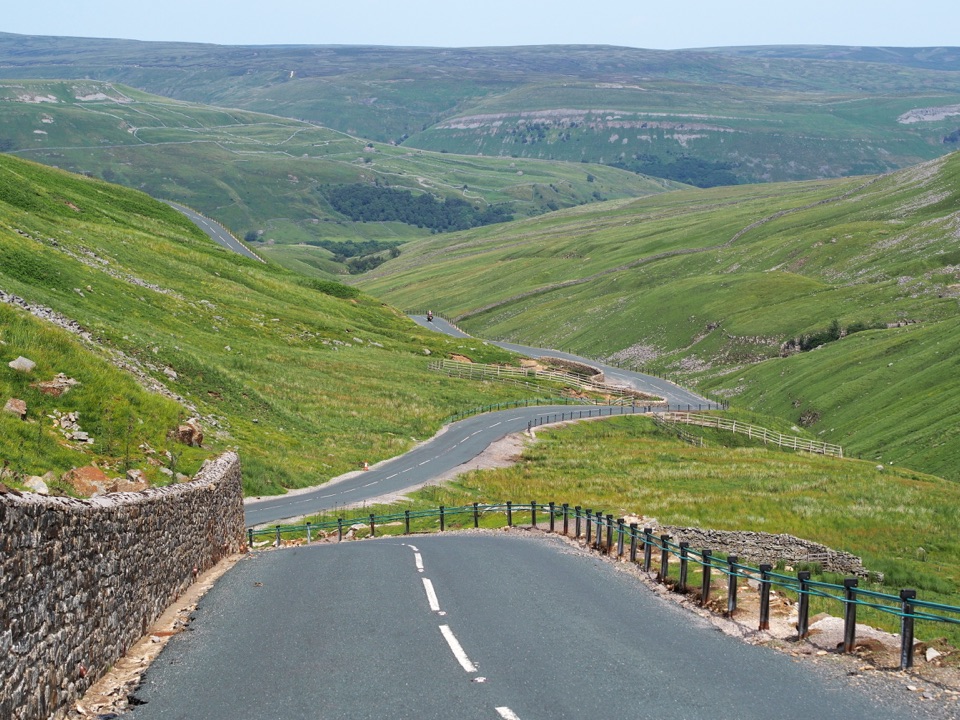 Sight · 8.7 km awayButtertubs PassButtertubs Pass climbs between two dales past deep limestone potholes
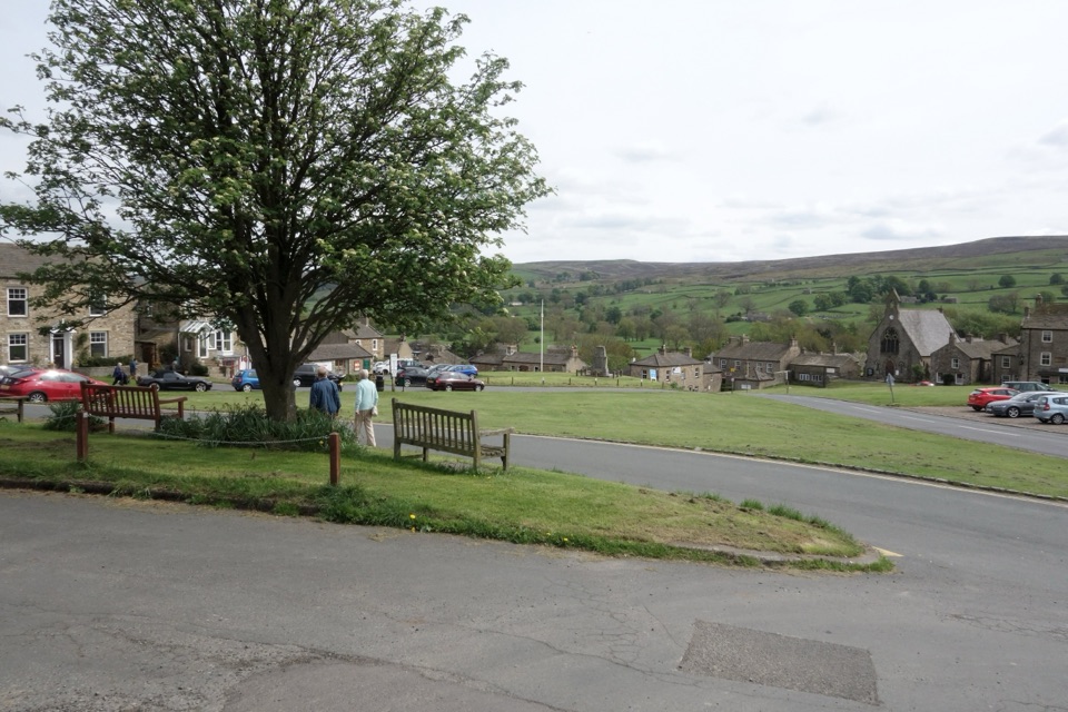 Sight · 8.8 km awayReethA stone-built Swaledale village around a big green, ringed by moors
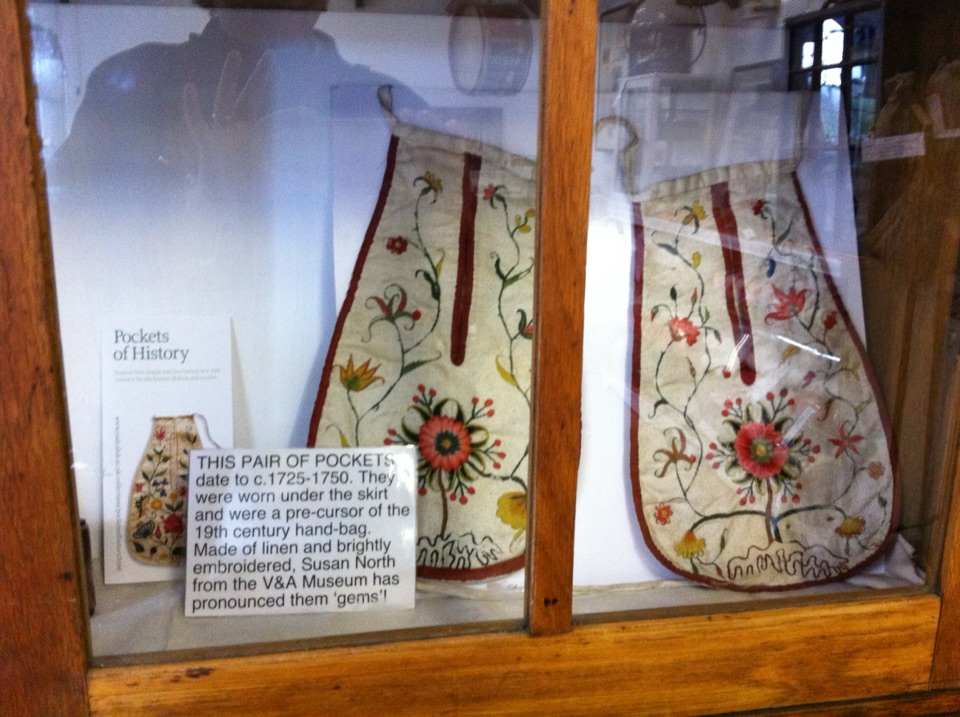 Sight · 8.9 km awaySwaledale MuseumLead-mining tools, hand-sewn pockets and dale voices in one old schoolroom
Parkwolf’s Yorkshire Dales ranking

The audio tour guide for the drive, plus offline maps, trails, and wildlife heatmaps for when the signal drops.





