Parking
Roadside access at Hollow Mill Cross on the B6270 between Nateby and Birk Dale; no facilities noted.
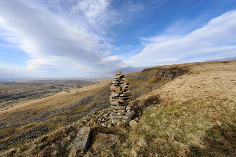
Yorkshire Dales National Park, EN
Open-moor climb to a broad escarpment, then a steep pathless gill descent
Overview
Map & elevation
Plan your hike

The highest, rockiest slopes around here are a summer buffet for grizzly bears.
Yorkshire Dales Tour Guide
Parkwolf is a GPS audio tour guide for Yorkshire Dales National Park. As you drive, it chimes in with what’s ahead: hidden gems, upcoming stops, history, geology, and wildlife, right through your car’s speakers.
Recorded for this trailhead
Mallerstang Edge and High Seat“You're approaching Hollow Mill Cross, the roadside start for the Mallerstang Edge and High Seat circuit. The seven-mile loop climbs open moor to High Seat, then follows the escarpment for long views down Mallerstang.”
Plays as you drive up to this trailhead in the Parkwolf Yorkshire Dales Tour Guide.
More stories near here in the app
“Fantastic app with many points of information… It’s great to just turn on while you’re driving and it gives you an audio tour of the national Park. We love it!!!!”


Trail guide
A closed loop of 11.46 km (7.12 miles) with 327 m of published ascent, starting and finishing at Hollow Mill Cross on the B6270 between Nateby and Birk Dale. Allow about 4.5 hours at a pace that suits rough ground. The route line measures 11.445 km before the 20 m gap between start and finish is closed, which is why the loop is quoted at 11.46 km.
The climb from the road is gentle across open moor, gaining height steadily to High Seat at 709 m. From there the walk follows the Mallerstang Edge escarpment before turning off for the descent of Brockholes Gill. The loop closes on a good track and then the mountain road back to the start. The long views over Mallerstang are the reward, and the setting is wild and remote, with the limestone gorge country of the wider Dales below.
This is a walk graded by its terrain rather than its distance. Expect:
The ascent and the edge are straightforward in clear air, but the moorland top has few fixed features and the descent has no path to follow. Carry a map and compass, and be confident about locating the top of Brockholes Gill rather than committing to the first likely looking break in the slope.
The descent is the sticking point: pathless and steep, and not suited to anyone who wants a clear path all the way round. The road walking on the return will not appeal to everyone either. If you would rather have a longer, rougher day with a more obvious summit, Wild Boar Fell from Outhgill is the comparison to make.
Wildlife
 10 sightingsEurasian OtterMost seen around 7 PMSighting map
 11 sightingsAtlantic SalmonMost seen around 7 AMSighting map
 12 sightingsShort-eared OwlMost seen around 7 PMSighting map
 22 sightingsWestern Barn OwlMost seen around 6 AMSighting map
 27 sightingsTawny OwlMost seen around 7 PMSighting map
 34 sightingsCommon KingfisherMost seen around 7 AMSighting map
Sighting maps show where each species has been reported across Yorkshire Dales. Wildlife moves, so no sighting is guaranteed.
Keep exploring
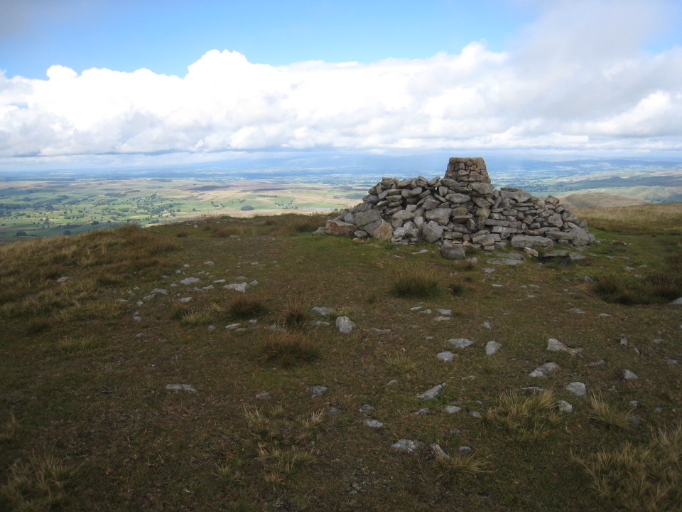 ChallengingWild Boar Fell16.1 km · 5 hr · 4.7 km awayAiry 708 m plateau above Mallerstang, hidden tarn, waterfall finish
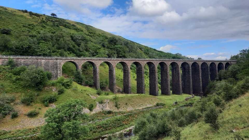 ModerateSmardale Gill Walk10.9 km · 4.5 hr · 9.1 km awayA 14-arch viaduct, beckside pasture and open fell in one figure-of-eight
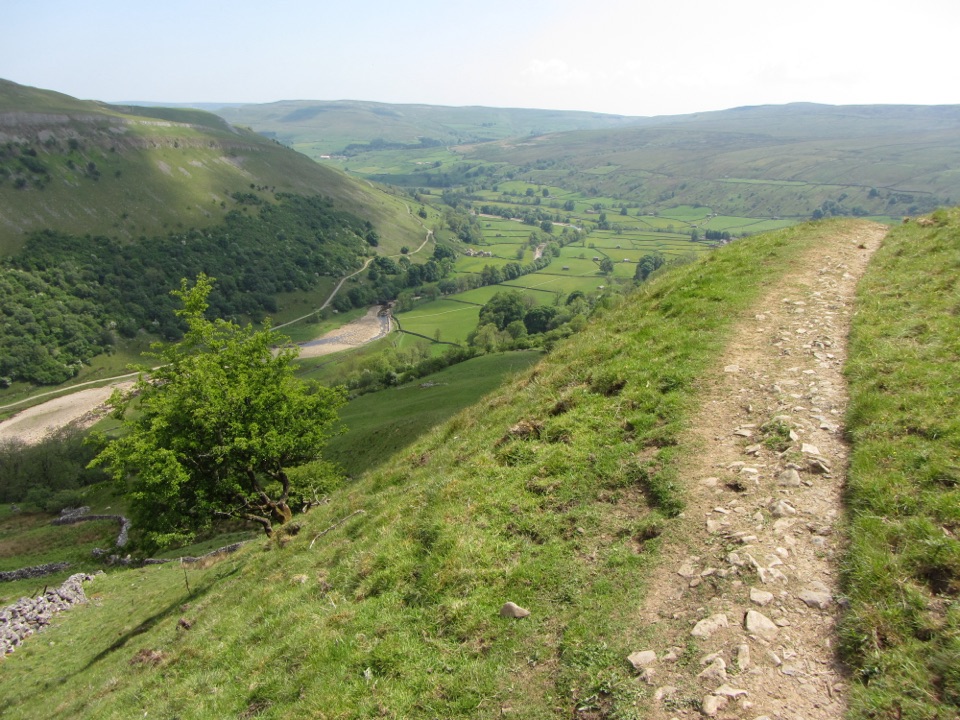 ChallengingMuker, Keld and the Corpse Way8.9 km · 3.5 hr · 11.4 km awayMeadows, waterfall detour and a hard climb on the old Corpse Road
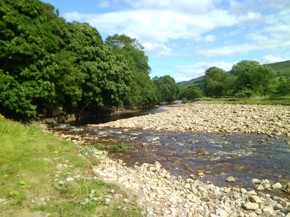 ModerateSwaledale Audio Trail12.7 km · 4 hr · 11.4 km awayAudio loop past Muker's hay meadows, stone walls and Swale bridges
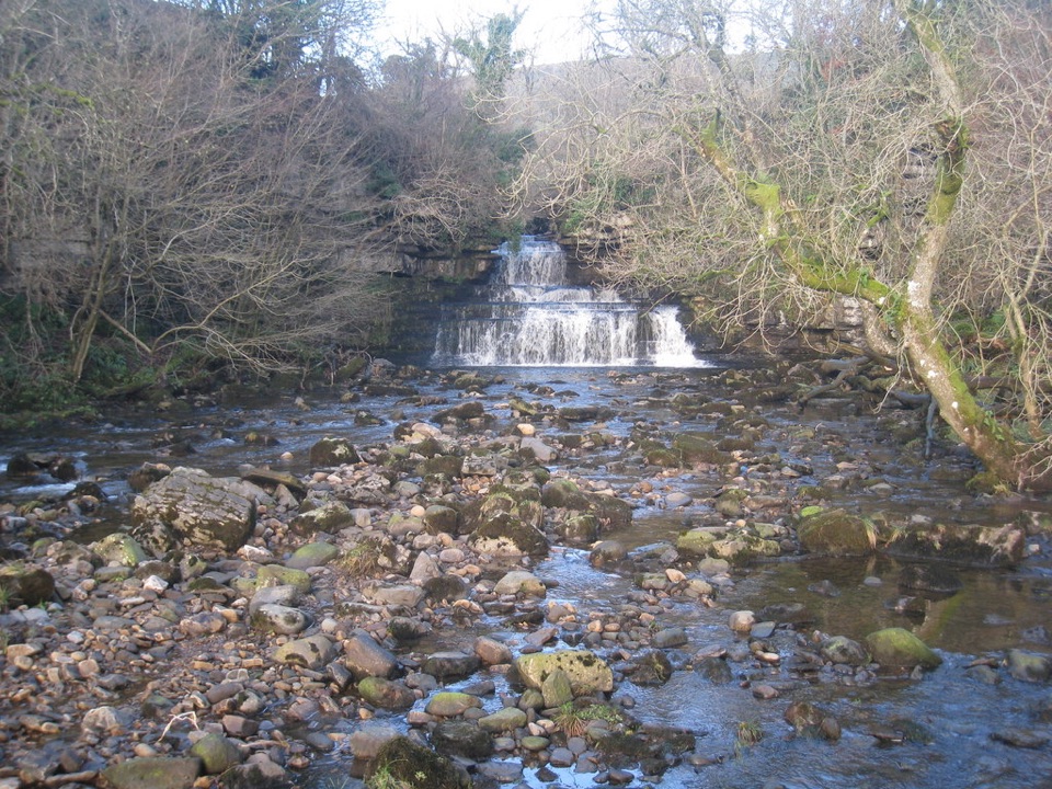 EasyCotter Force Accessible Walk1 km · 30 min · 13 km awayHalf a mile of graded gravel to six gentle waterfall cascades
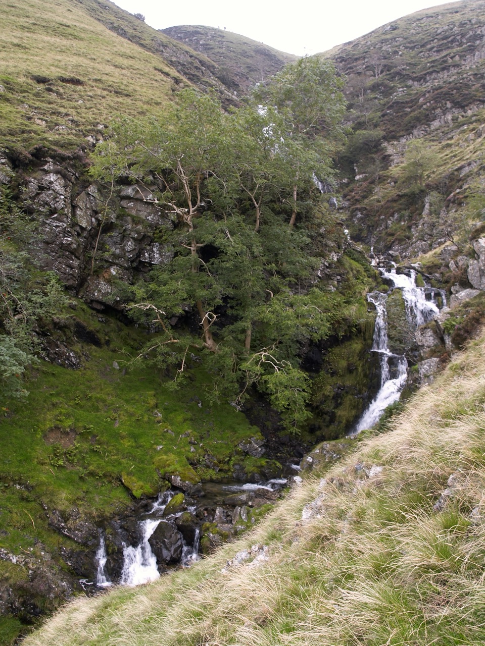 ChallengingCautley Spout and The Calf Circular8.4 km · 3.8 hr · 13.6 km awayClimb beside a spectacular waterfall to the Howgill Fells' highest summit
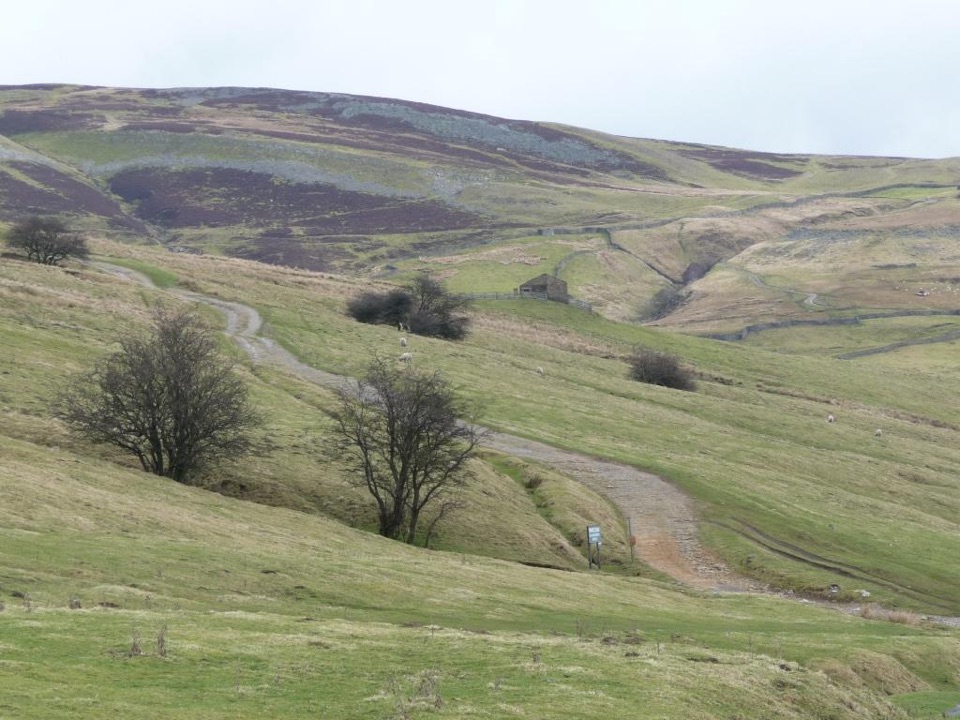 ModerateIvelet Moor Accessible Walk11 km · 3.8 hr · 13.8 km awayEleven kilometres of surfaced moorland track with broad Swaledale views
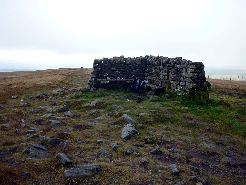 ModerateGreat Shunner Fell14.8 km · 5.7 hr · 13.9 km awaySteady Pennine Way climb from Hardraw to an exposed summit shelter
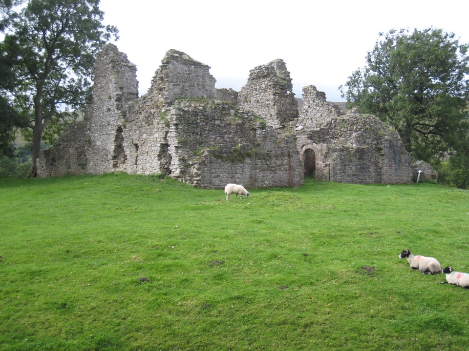 Sight · 3.5 km awayPendragon CastleRuined Clifford stronghold beside the young River Eden in Mallerstang
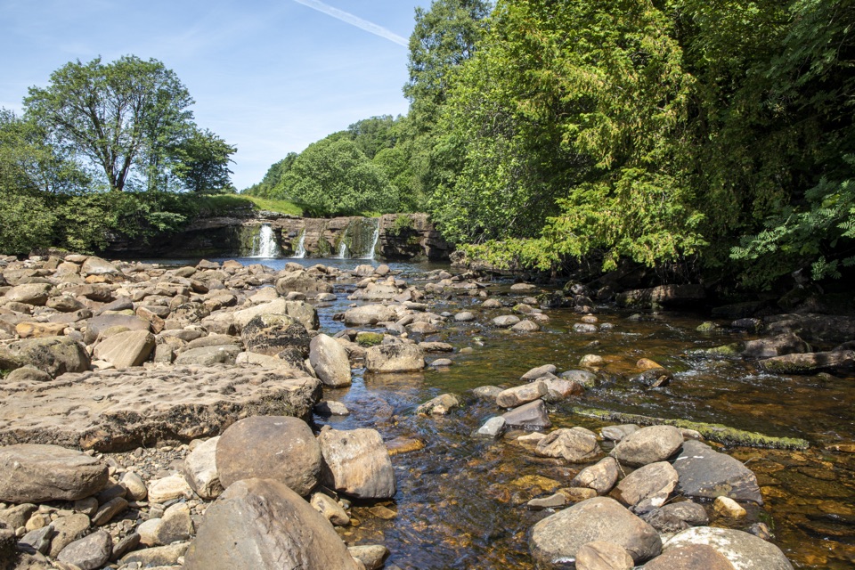 Sight · 7.4 km awayWain Wath ForceBroad, low falls under limestone cliffs, right beside a Swaledale road
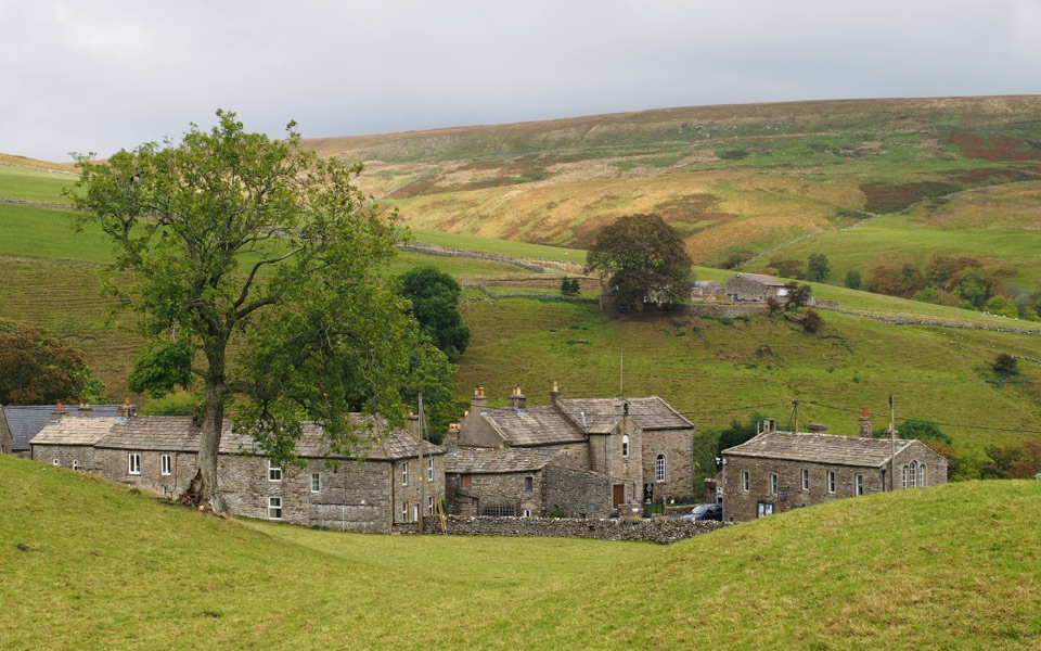 Sight · 8.4 km awayKeldQuiet stone hamlet at Swaledale's head, ringed by waterfalls and paths
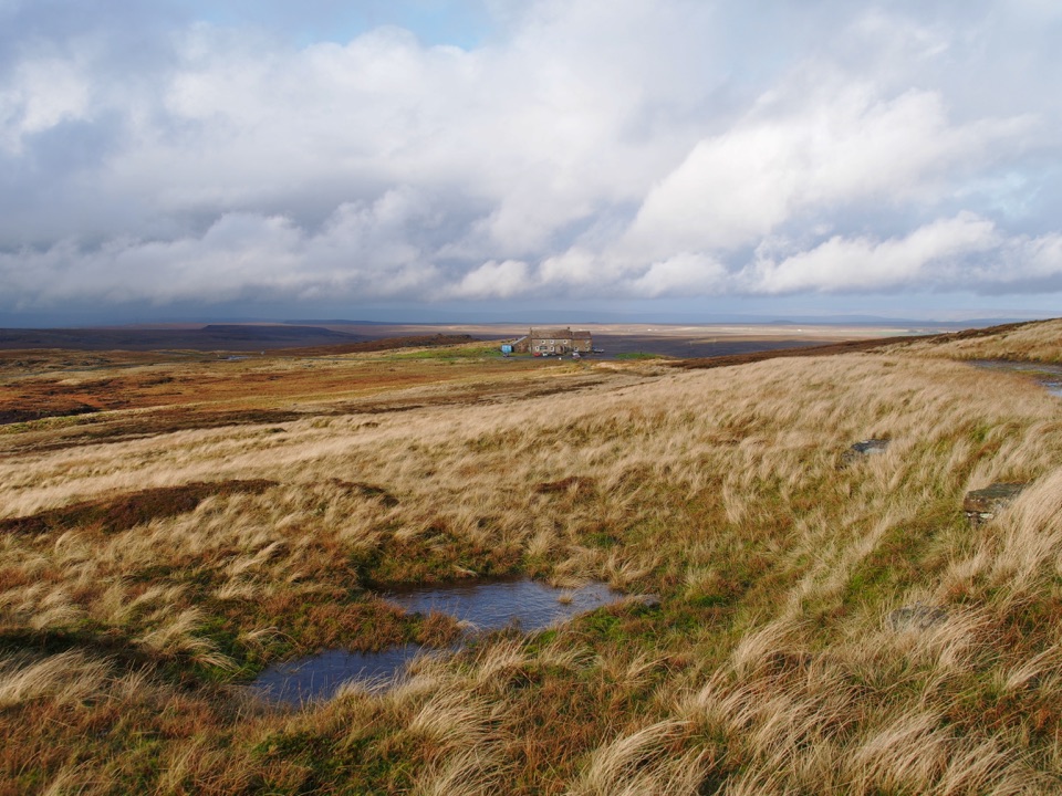 Lodging · 8.7 km awayTan Hill InnBritain's highest pub, a 17th-century moorland inn on the Pennine Way
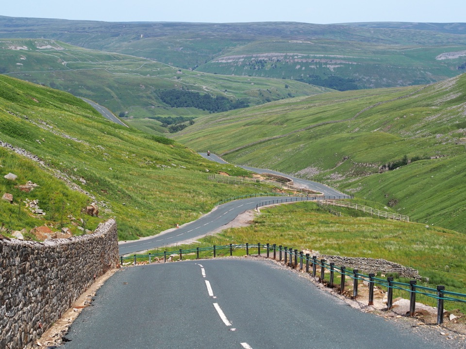 Sight · 10 km awayButtertubs PassButtertubs Pass climbs between two dales past deep limestone potholes
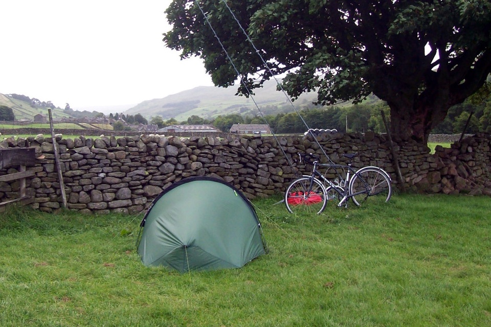 Campground · 10.6 km awayUsha Gap Farm & CampsitePitch beside a beck on a working Swaledale sheep farm
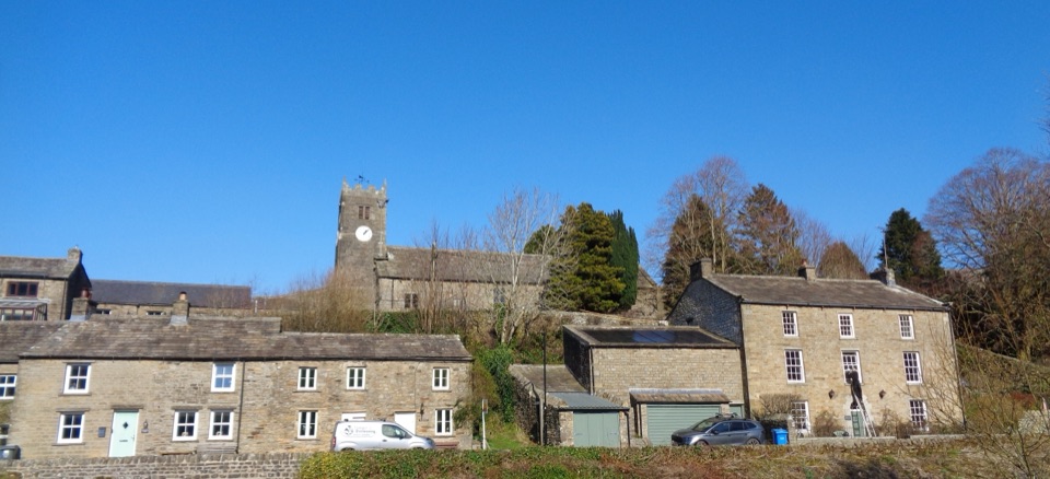 Sight · 11.3 km awayMukerSlate-roofed cottages, hay meadows and four waterfalls up the daleSight · 12.5 km awayCotter ForceA stile-free woodland stroll to six gentle cascades on Cotterdale Beck
Parkwolf’s Yorkshire Dales ranking

The audio tour guide for the drive, plus offline maps, trails, and wildlife heatmaps for when the signal drops.





