Parking
Start in Gunnerside village and finish at Reeth village green. Arrange the bus connection or a second car before setting out; do not rely on finding parking at the start.
Yorkshire Dales National Park, EN
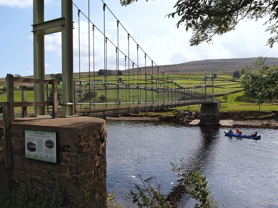
Riverside meadows and stone walls from Gunnerside to Reeth Swing Bridge
Overview
Map & elevation
Plan your hike

The highest, rockiest slopes around here are a summer buffet for grizzly bears.
Yorkshire Dales Tour Guide
Parkwolf is a GPS audio tour guide for Yorkshire Dales National Park. As you drive, it chimes in with what’s ahead: hidden gems, upcoming stops, history, geology, and wildlife, right through your car’s speakers.
Recorded for this trailhead
Gunnerside Gill Walk“You're coming up on Gunnerside, the start of a five-mile loop into Gunnerside Gill. Follow the beck into a steep-sided valley, where abandoned mine levels and raw hushing scars show how much work went on here.”
Plays as you drive up to this trailhead in the Parkwolf Yorkshire Dales Tour Guide.
More stories near here in the app
“Fantastic app with many points of information… It’s great to just turn on while you’re driving and it gives you an audio tour of the national Park. We love it!!!!”


Trail guide
A point-to-point valley walk of 6.9 miles one way, from Gunnerside village down Swaledale to the village green at Reeth. Most people take 2.5 to 3 hours, so budget around 2.75 hours plus stops. It is rated moderate: the ground is virtually level, but it is a long linear day with fields, stiles, short road sections and river-edge crossings.
This is classic low-level Swaledale: riverside meadows, dry-stone walls dividing hay fields, barns, open views up and down the valley, and two traditional villages as bookends. The Swing Bridge at Reeth is the defining finish and the obvious place to linger. Early morning and late afternoon light suits the valley best, when the walls and field patterns throw long shadows; the hay meadows look their best in early summer before cutting.
Expect a mix of field paths, riverside paths, farm tracks and quiet minor roads, with a fair number of stiles and gates. There is no sustained climb on this route, so the effort comes from distance and from repeatedly negotiating stiles and field edges rather than from ascent. Boots or sturdy shoes are sensible, since riverside and field sections hold water after rain. River-edge and crossing sections need care and are not always straightforward when the Swale is high, so check conditions and turn back or reroute if the water looks pushy.
The walk is linear, finishing well away from where it starts. Gunnerside is the trailhead, with the route beginning within a few metres of the village centre. Plan the return before you set off: either use the bus that links the dale villages, or leave a second car in Reeth. Bus schedules change, so confirm times in advance rather than assuming a convenient connection. Walking the route in reverse works equally well if that fits your transport better.
The route crosses working farmland on public rights of way, so keep dogs on a lead through fields and around livestock, and use a short lead from March to July when ground-nesting birds and young stock are about. Close gates behind you, keep to the marked paths across hay meadows, and give farm animals a wide berth in the farmyard sections.
Wildlife
 10 sightingsEurasian OtterMost seen around 7 PMSighting map
 11 sightingsAtlantic SalmonMost seen around 7 AMSighting map
 12 sightingsShort-eared OwlMost seen around 7 PMSighting map
 22 sightingsWestern Barn OwlMost seen around 6 AMSighting map
 27 sightingsTawny OwlMost seen around 7 PMSighting map
 34 sightingsCommon KingfisherMost seen around 7 AMSighting map
Sighting maps show where each species has been reported across Yorkshire Dales. Wildlife moves, so no sighting is guaranteed.
Keep exploring
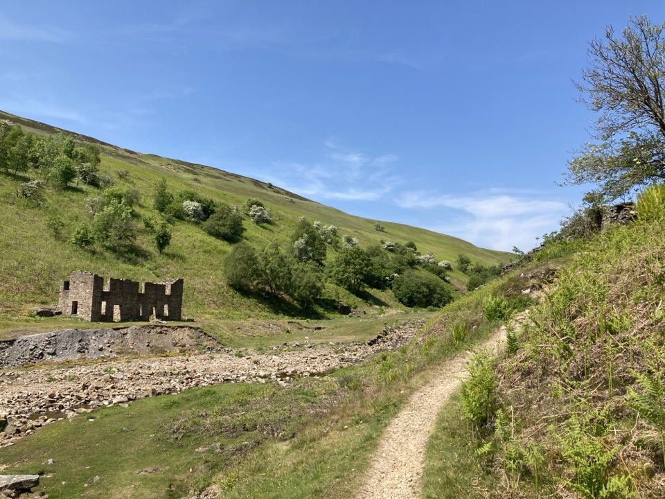 ModerateGunnerside Gill Circular8 km · 3 hr · At the trailheadLead-mining ruins deep in a steep gill, with an airy return track
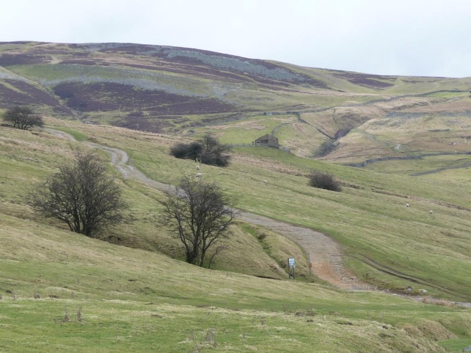 ModerateIvelet Moor Accessible Walk11 km · 3.8 hr · 1.1 km awayEleven kilometres of surfaced moorland track with broad Swaledale views
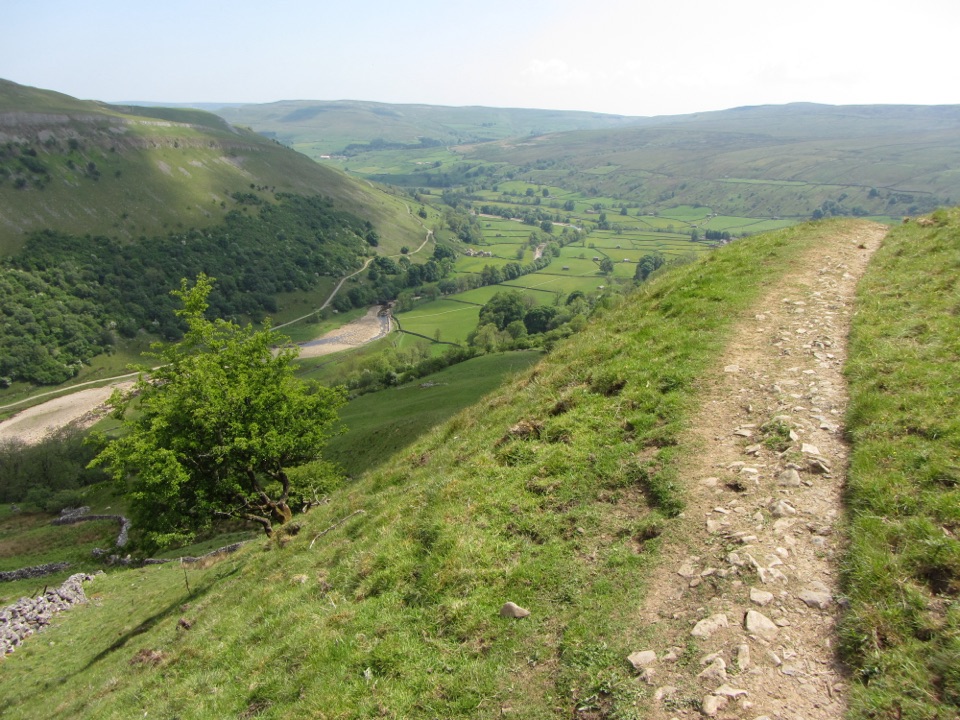 ChallengingMuker, Keld and the Corpse Way8.9 km · 3.5 hr · 4.1 km awayMeadows, waterfall detour and a hard climb on the old Corpse Road
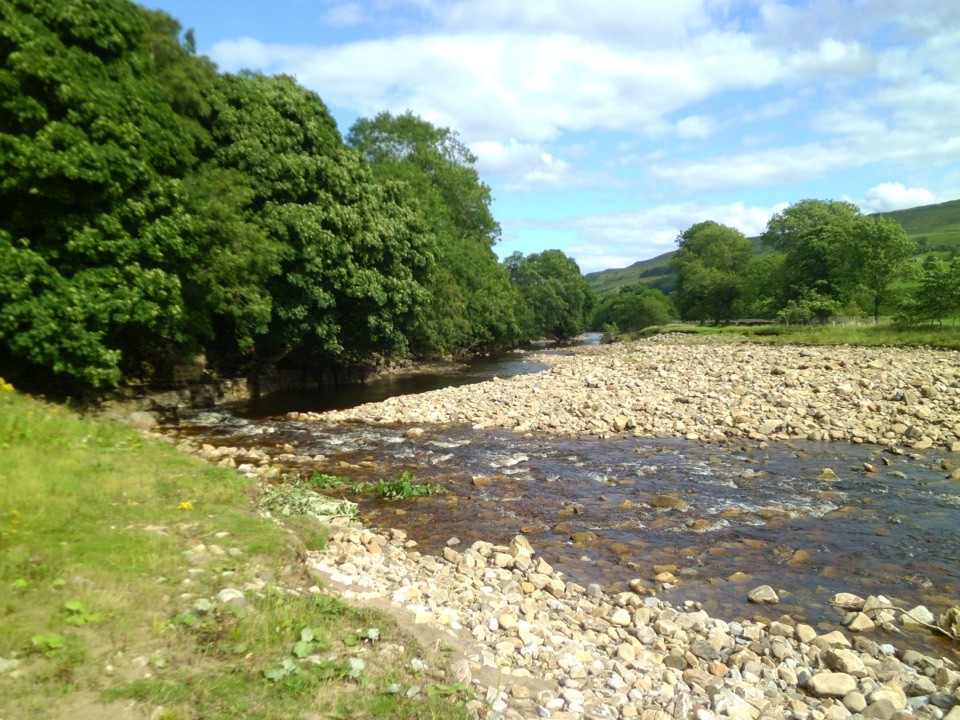 ModerateSwaledale Audio Trail12.7 km · 4 hr · 4.1 km awayAudio loop past Muker's hay meadows, stone walls and Swale bridges
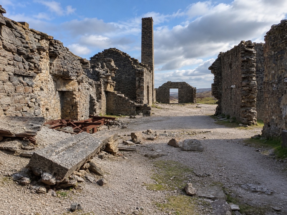 EasyOld Gang Smelt Mill Route6 km · 2 hr · 4.2 km awayWide beckside track to a ruined lead smelt mill, 6 km return
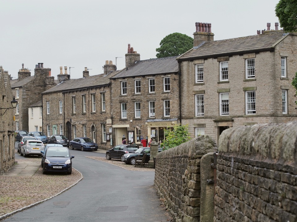 ModerateBainbridge Audio Trail7.2 km · 1.8 hr · 8.2 km awayMills, village greens and old railway on a 4.5-mile audio loop
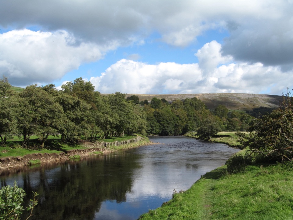 EasyReeth and Healaugh Circular4.5 km · 1.3 hr · 8.7 km awayVillage lanes and field paths to Healaugh, with a riverside return
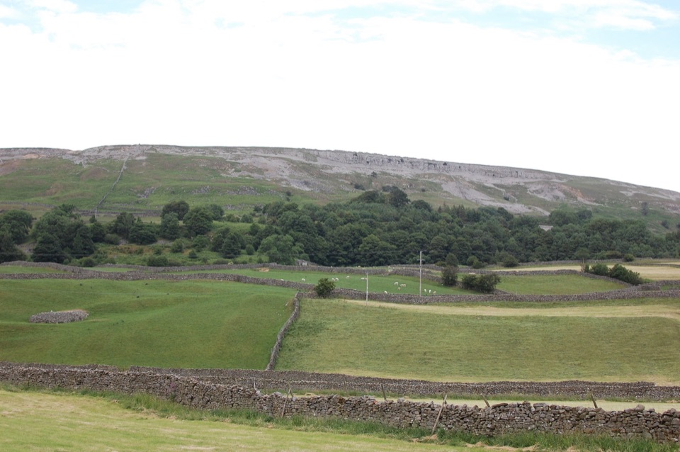 ModerateReeth Low Common4 km · 1.5 hr · 8.8 km awayField paths, a steep rocky lane and big views over the dale
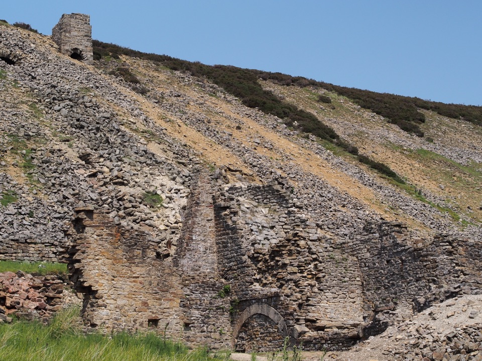 Sight · 3.3 km awayOld Gang Smelting MillRuined lead smelt mill and chimney on a moorland beck in Swaledale
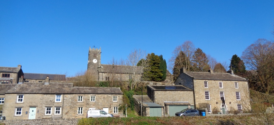 Sight · 4.1 km awayMukerSlate-roofed cottages, hay meadows and four waterfalls up the dale
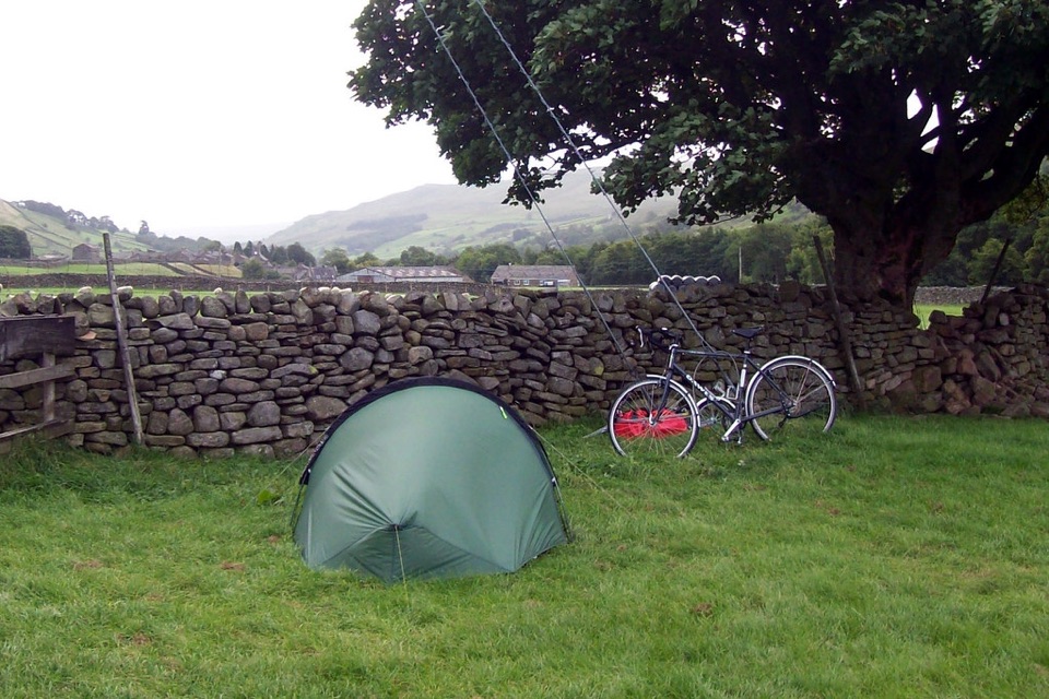 Campground · 4.9 km awayUsha Gap Farm & CampsitePitch beside a beck on a working Swaledale sheep farm
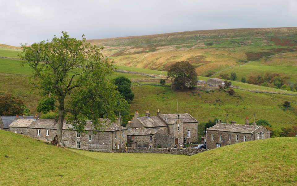 Sight · 6.5 km awayKeldQuiet stone hamlet at Swaledale's head, ringed by waterfalls and paths
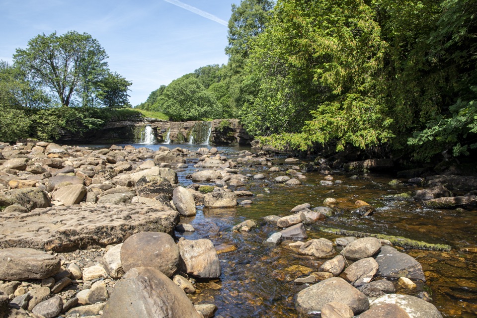 Sight · 7.5 km awayWain Wath ForceBroad, low falls under limestone cliffs, right beside a Swaledale road
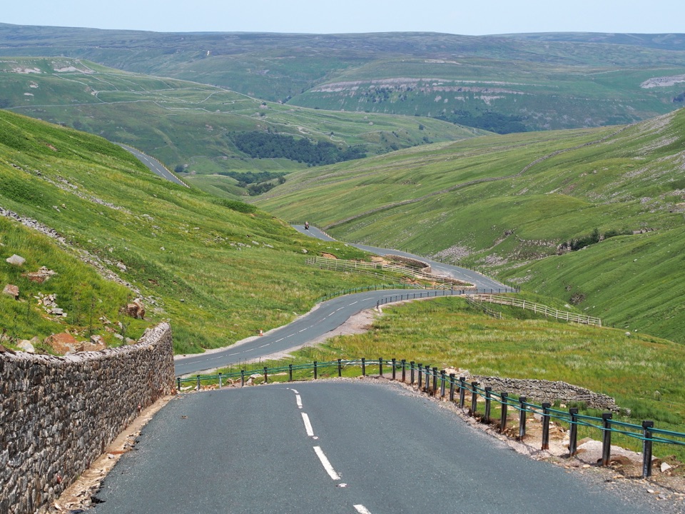 Sight · 8.7 km awayButtertubs PassButtertubs Pass climbs between two dales past deep limestone potholes
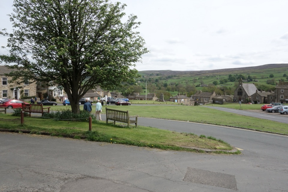 Sight · 8.8 km awayReethA stone-built Swaledale village around a big green, ringed by moors
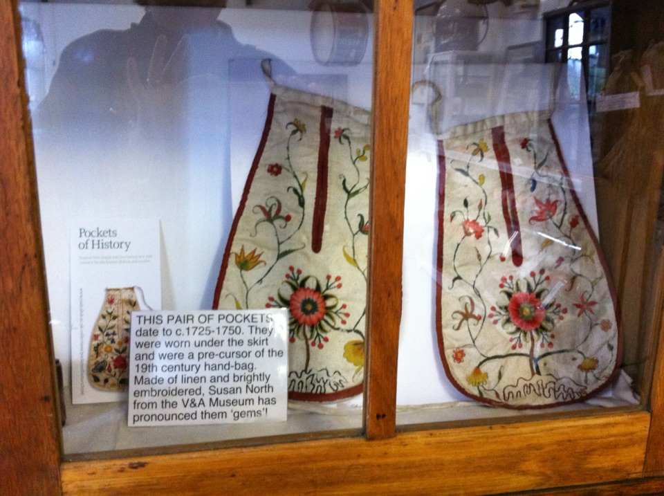 Sight · 8.9 km awaySwaledale MuseumLead-mining tools, hand-sewn pockets and dale voices in one old schoolroom
Parkwolf’s Yorkshire Dales ranking

The audio tour guide for the drive, plus offline maps, trails, and wildlife heatmaps for when the signal drops.





