Ivelet Moor Accessible Walk in Yorkshire Dales National Park

Yorkshire Dales National Park, EN

Ivelet Moor Accessible Walk

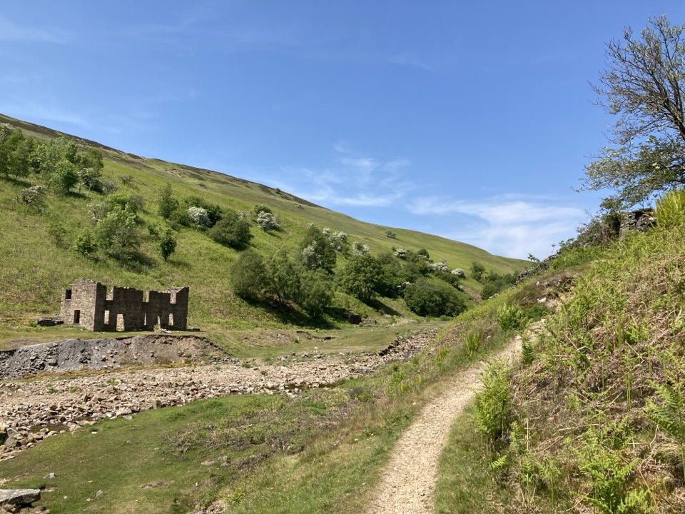
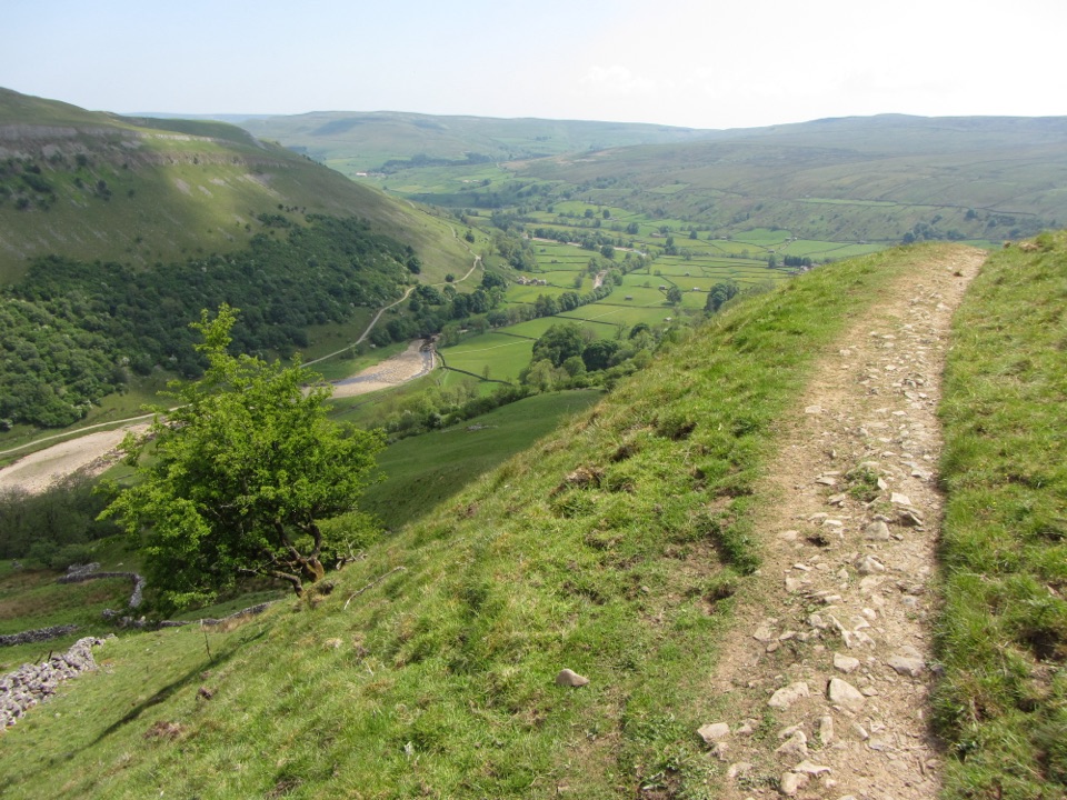
Eleven kilometres of surfaced moorland track with broad Swaledale views

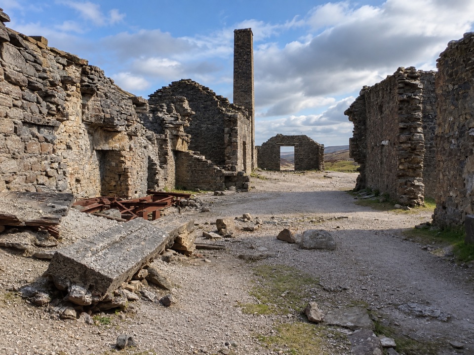
Photo: Wikimedia Commons
Length
11km
Time
3.8hr
Elev. change
270m
Difficulty
Moderate
  • Loop
  • High point 569 m

Hear the audio tour

The Miners' Artificial Flood

Overview

About Ivelet Moor Accessible Walk

Why go

  • Wide, well-surfaced track with 2 m clearance
  • Big open views over Swaledale

Heads up

  • 11 km loop with short 1:6 gradients
  • Informal parking and conditional dog access

Map & elevation

The route

Loading the Yorkshire Dales map
Full map
Elevation299–569 m
TrailheadDyke Heads roadside parking54.38016, -2.09388
Keep this map with you offline in the Parkwolf app

Plan your hike

Before you go

Parking

Follow the single-track tarmac road from Gunnerside to Dyke Heads. Park informally on the grass verge at the start, taking care not to block the road, gateways or field access. There are no facilities at the start; the nearest public toilets, including accessible facilities, are next to the Kings Arms in Gunnerside.

Best time to go

The heather is at its strongest in late August and September, which is when the moor looks its best. Through the walk, keep an eye and an ear out for moorland birds including red grouse, meadow pipit, golden plover, curlew, lapwing and skylark. Nothing is guaranteed, but the habitat suits them.

Safety

Short sections reach a 1:6 gradient. Part of the route follows a shooting track across open access land where local restrictions, including no dogs, may apply. Check current Natural England open-access restrictions before bringing a dog; the open moorland is exposed to weather.

1 active Yorkshire Dales alert

  • ClosureTemporary closures on public rights of wayAvoid the listed sections of public rights of way while their temporary closures or pedestrian prohibition are in force. - Public Bridleway No. 52 (05.Official details
Yorkshire Dales alerts
A park ranger sits on a dash-mounted phone, talking, as Parkwolf’s Tour Guide plays “Army Cutworm Moths: A Grizzly Bear Buffet” on Grand Loop Road below Dunraven Pass in Yellowstone
Parkwolf Tour GuideThe highest, rockiest slopes around here are a summer buffet for grizzly bears.

Yorkshire Dales Tour Guide

Your drive to Ivelet Moor Accessible Walk, narrated.

Parkwolf is a GPS audio tour guide for Yorkshire Dales National Park. As you drive, it chimes in with what’s ahead: hidden gems, upcoming stops, history, geology, and wildlife, right through your car’s speakers.

Recorded for this area

The Miners' Artificial Flood
0:00 / 0:27
“In Gunnerside Gill, some of the great bare cuts in the hillside were made with water. Lead miners dammed streams above a slope, then broke the barrier and let the torrent strip off soil and plants.”

Plays on the road 0.6 km from the trailhead in the Parkwolf Yorkshire Dales Tour Guide.

More stories near here in the app

  • Gunnerside Gill Walk
  • The Shaft They Filled In
  • Holes Full of Birds
  • Muker and Its Hay Meadows
  • 298 audio storiesacross Yorkshire Dales’s roads, triggered by GPS as you drive
  • Wildlife heatmapsfor Eurasian Otter, Atlantic Salmon, Short-eared Owl, and 13 more
  • Works offlinemaps, 99 trails, 63 places, and audio download before you lose signal
  • CarPlay readysimple controls built for the drive
★★★★★
“Fantastic app with many points of information… It’s great to just turn on while you’re driving and it gives you an audio tour of the national Park. We love it!!!!”
JMJamesApp Store review
Download Parkwolf on the App StoreGet Parkwolf on Google Play

4.7 from 8,600+ ratings

Trail guide

Hiking Ivelet Moor Accessible Walk

The walkThis is an 11 km circular route, about 6.

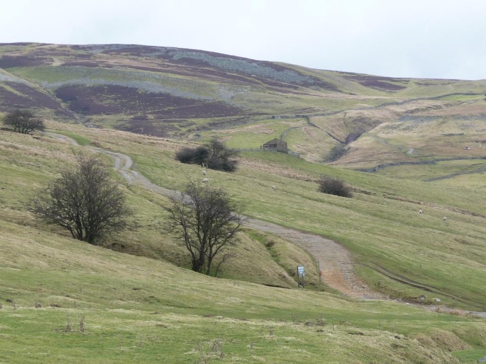
This is an 11 km circular route, about 6.84 miles, looping around the edge of Ivelet Moor high above Swaledale. It starts from the roadside access at Dyke Heads, reached by following the single track tarmac road up from Gunnerside, and it returns to the same point, so there is no doubling back.

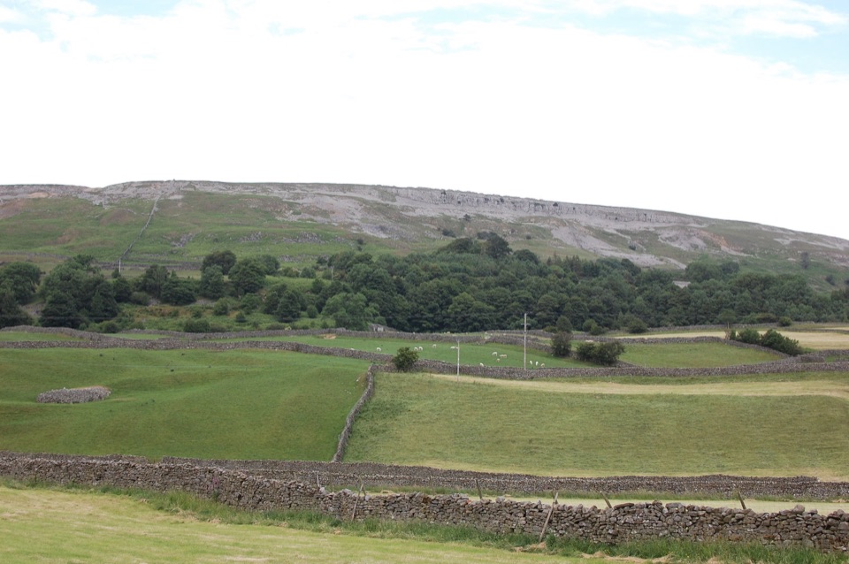
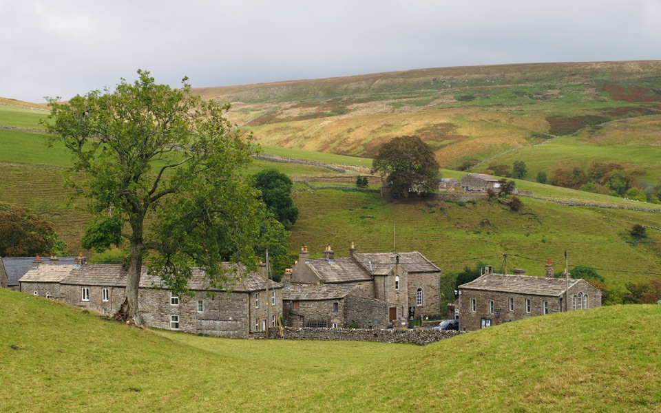
From the start you take a short access track and climb onto the moor, then follow a well surfaced track around the moor edge, over heather ground and past the Botcher Gill and Gunnerside Gill side of the hill. The route swings around the northern and western side near Arn Gill before dropping back to the southern public road section that returns you to the start. The payoff is repeated open views across Swaledale, with gills, moorland and old field walls laid out below you.

Difficulty and accessibilityOfficially this is a red route, meaning a route for some rather than one that suits every…

Officially this is a red route, meaning a route for some rather than one that suits every wheelchair or every visitor. Treat it as a substantial outing rather than a short stroll.

  • The track is well surfaced and at least 200 cm wide throughout, which is the route's biggest strength.
  • There are short gradient sections reaching 1:6, including the pull from the road up onto the moor.
  • Height ranges from roughly 299 m near the road to about 569 m at the highest part of the loop.
  • The full 11 km distance, combined with those gradients, is the main thing to plan around.
Open moorlandThis is open heather moorland from end to end, so the walk is fully exposed to whatever the…

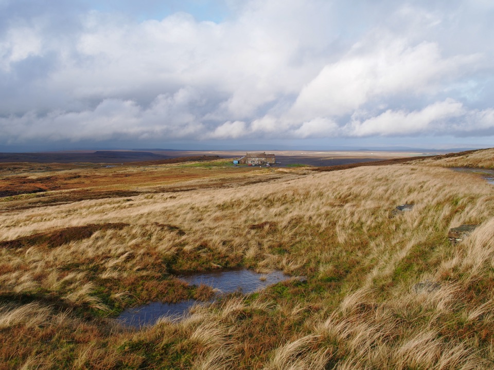
This is open heather moorland from end to end, so the walk is fully exposed to whatever the weather is doing. That openness is exactly what gives you the wide views in every direction, and it is worth factoring into when you set out.

Parking and facilitiesParking is informal roadside space on the grass verge at Dyke Heads, and it is limited.

Parking is informal roadside space on the grass verge at Dyke Heads, and it is limited. Park considerately and do not block access to the road or gateways. Signage at the start marks a private road, which means no vehicle access beyond that point, though walking access is fine.

There are no facilities at the start. The nearest public toilets, including one with facilities for people with disabilities, are next to the Kings Arms pub in Gunnerside.

DogsPart of the route follows a shooting track across open access land, where local restrictions…

Part of the route follows a shooting track across open access land, where local restrictions such as no dogs may apply. Check the current open access restrictions for the area before bringing a dog, since access can vary.

A shorter alternativeIf 11 km is more than you want, Old Gang near Reeth is a shorter accessible route that leads to…

If 11 km is more than you want, Old Gang near Reeth is a shorter accessible route that leads to the remains of the Old Gang Smelt Mill, with more of a heritage focus than a big moorland circuit.

Wildlife

Wildlife in Yorkshire Dales

All Yorkshire Dales wildlife maps

Sighting maps show where each species has been reported across Yorkshire Dales. Wildlife moves, so no sighting is guaranteed.

Keep exploring

Near Ivelet Moor Accessible Walk

See it all on the map

Trails that start nearby

Places near the trailhead

Parkwolf’s Yorkshire Dales ranking

Top-rated trails in Yorkshire Dales

All 99 trails
  1. 1Yorkshire Three Peaks CircularChallenging · 38.6 km
  2. 2Malham Landscape TrailModerate · 7.2 km
  3. 3Ingleton Waterfalls TrailModerate · 6.9 km
  4. 4Pen-y-ghent CircularModerate · 9.7 km
  5. 5Ingleborough from ClaphamChallenging · 16.1 km
  6. 6Whernside CircularChallenging · 12.6 km

Take Parkwolf to Yorkshire Dales.

The audio tour guide for the drive, plus offline maps, trails, and wildlife heatmaps for when the signal drops.

4.7 from 8,600+ ratings

Download Parkwolf on the App StoreGet Parkwolf on Google Play