Whernside Summit in Yorkshire Dales National Park

Sight · Yorkshire Dales National Park

Whernside Summit

Whernside Summit: 736 m of ridge walking above Ribblehead

Photo: Wikimedia Commons
Type
Sight
Nearest trail
3.4 km
Audio stories
2 nearby
  • Scenic viewpoint

Hear the audio tour

Ribblehead Viaduct

Overview

About Whernside Summit

Why stop

  • Open ridge-top views across the Howgills and Morecambe Bay
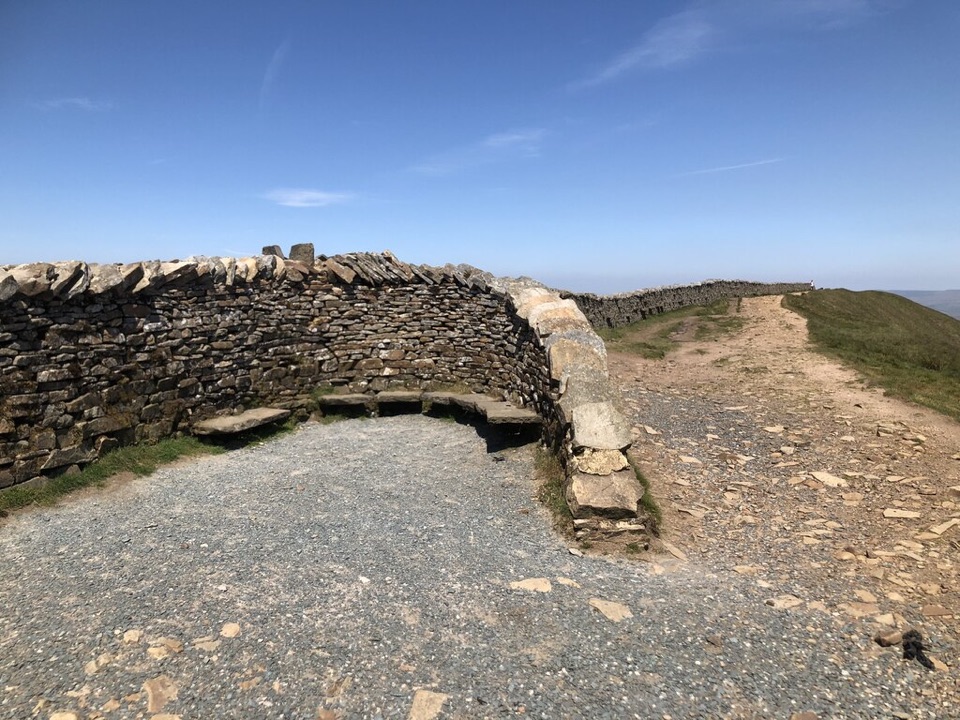
  • Stone summit shelter gives you a place to pause

Heads up

  • Long, exposed hill walk from Ribblehead
  • Slabs and steep sections turn slippery in wet weather
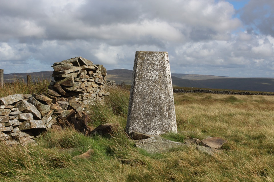
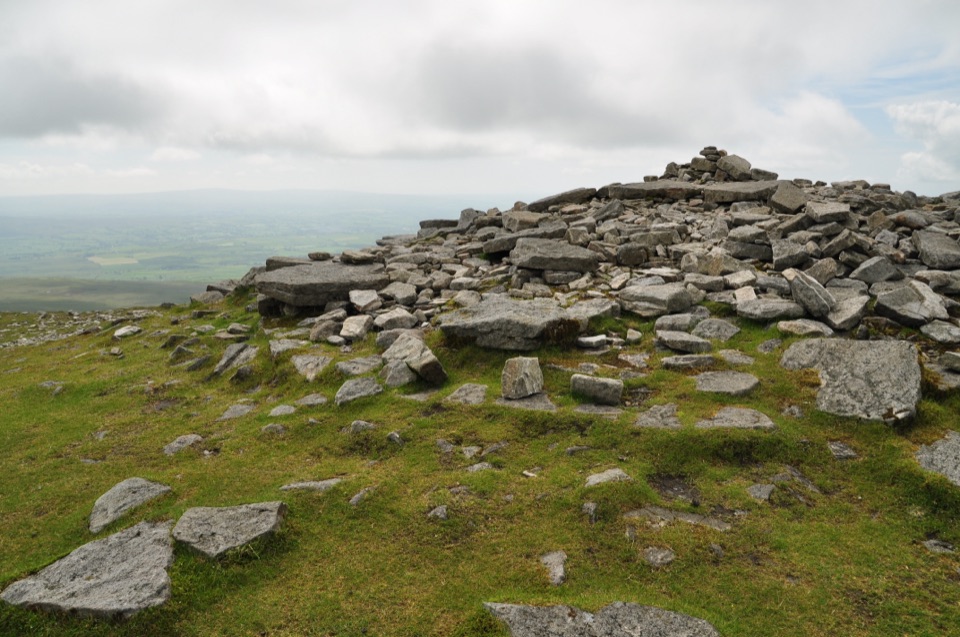
Whernside is 736 m, the highest of the Yorkshire Three Peaks, and the walk up it is a long, open ridge rather than a scramble. The exact summit sits beside the wall, marked by a trig point and a stone shelter, so there is a clear place to pause and get your bearings. It is a classic Dales day out: limestone country below, moorland and big skies above.
Parkwolf’s verdictWhy go

Map

Where it is

Loading the Yorkshire Dales map
Full map
SightWhernside Summit54.22778, -2.40263
Keep this map with you offline in the Parkwolf app

Plan your stop

Before you go

Best time to go

In clear weather the ridge opens out to the Howgills, the Lakeland fells, Morecambe Bay and Pendle Hill. Cloud can sit on the tops at any time of year, so check the forecast and be ready for a walk in mist instead. Starting early gives you more daylight in hand for the full loop and time to stop at the shelter. Allow extra time in winter, when the light is short and slabs may be icy.


1 active Yorkshire Dales alert

  • ClosureTemporary closures on public rights of wayAvoid the listed sections of public rights of way while their temporary closures or pedestrian prohibition are in force. - Public Bridleway No. 52 (05.Official details
Yorkshire Dales alerts
A park ranger sits on a dash-mounted phone, talking, as Parkwolf’s Tour Guide plays “Army Cutworm Moths: A Grizzly Bear Buffet” on Grand Loop Road below Dunraven Pass in Yellowstone
Parkwolf Tour GuideThe highest, rockiest slopes around here are a summer buffet for grizzly bears.

Yorkshire Dales Tour Guide

Your drive to Whernside Summit, narrated.

Parkwolf is a GPS audio tour guide for Yorkshire Dales National Park. As you drive, it chimes in with what’s ahead: hidden gems, upcoming stops, history, geology, and wildlife, right through your car’s speakers.

Recorded for this place

Ribblehead Viaduct
0:00 / 0:33
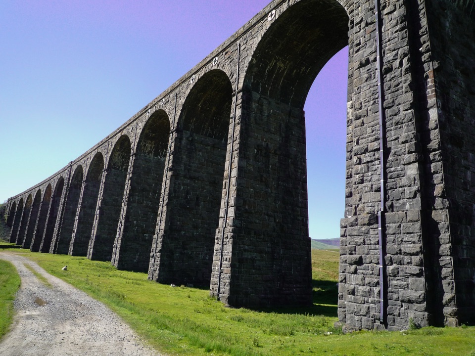
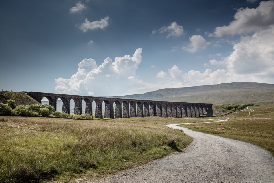
“Up ahead is Ribblehead Viaduct, its twenty-four arches stretching across the open moor beneath Whernside.”

Plays as you drive up to Whernside Summit in the Parkwolf Yorkshire Dales Tour Guide.

More stories near here in the app

  • The Marble That Was Once Alive
  • The Valley Beneath the Ice
  • Yordas Cave in Kingsdale
  • The Rescue Team Born Underground
  • 298 audio storiesacross Yorkshire Dales’s roads, triggered by GPS as you drive
  • Wildlife heatmapsfor Eurasian Otter, Atlantic Salmon, Short-eared Owl, and 13 more
  • Works offlinemaps, 99 trails, 63 places, and audio download before you lose signal
  • CarPlay readysimple controls built for the drive
★★★★★
“Fantastic app with many points of information… It’s great to just turn on while you’re driving and it gives you an audio tour of the national Park. We love it!!!!”
JMJamesApp Store review
Download Parkwolf on the App StoreGet Parkwolf on Google Play

4.7 from 8,600+ ratings

Guide

More about Whernside Summit

Routes and effortThe official route from Ribblehead is 12.5 km (7.5 mi).
  • The official route from Ribblehead is 12.5 km (7.5 mi).
  • A popular circular is about 13.0 km (8.1 mi) with 447 m of ascent, roughly 4 hours, graded 3-C.
  • The climb rises over Knoutberry Hill, follows a wall along the ridge, then descends via Bruntscar and Winterscales.
  • Expect rugged ground, steep sections and stone slabs that can be slippery when wet or icy. Boots with good grip and a steady pace make a big difference.
Practical notesRibblehead station is near the start, which makes the walk workable without a car.

Ribblehead station is near the start, which makes the walk workable without a car. Parking can be busy, especially at weekends, so arrive with a plan B. The official route page notes there are no toilets on the route; refreshments are at the Station Inn and sometimes a tea wagon near the Ribblehead parking area, not on the hill, so carry what you need for the day. Higher ground is colder and windier than the valley, so bring layers, a windproof and waterproof shell, hat and gloves outside high summer, plus food and drink.

Wildlife and drawbacksThe surrounding Dales are limestone country with specialist plants, mosses and lichens, and the…

The surrounding Dales are limestone country with specialist plants, mosses and lichens, and the fell tops and moorland can hold golden plover, red grouse, skylark, ring ouzel or black grouse, though sightings are never guaranteed. The main drawbacks are exposure to wind on the ridge, slippery slabs in wet or icy conditions, and the popularity of the Ribblehead start, which affects parking. Treat it as a proper hill day: navigation skills, sensible footwear and a check of conditions before you set off.

Wildlife

Wildlife in Yorkshire Dales

All Yorkshire Dales wildlife maps

Sighting maps show where each species has been reported across Yorkshire Dales. Wildlife moves, so no sighting is guaranteed.

Keep exploring

Near Whernside Summit

See it all on the map

Trails nearby

More stops nearby

Parkwolf’s Yorkshire Dales ranking

Top sights in Yorkshire Dales

All 63 places
  1. 1Malham CoveSight
  2. 2Aysgarth FallsSight
  3. 3Ribblehead ViaductSight
  4. 4Gordale ScarSight
  5. 5Bolton CastleSight
  6. 6Janet's FossSight

Take Parkwolf to Yorkshire Dales.

The audio tour guide for the drive, plus offline maps, trails, and wildlife heatmaps for when the signal drops.

4.7 from 8,600+ ratings

Download Parkwolf on the App StoreGet Parkwolf on Google Play