Parking
From the B6255, head towards Ingleton, go under the railway bridge, then turn immediately left up the unmade track. The parking circle is about 400 m along on the left, near Ribblehead station.
Yorkshire Dales National Park, EN
Quarry ponds, limestone pasture and a Viking farmstead in 1.68 miles
Overview
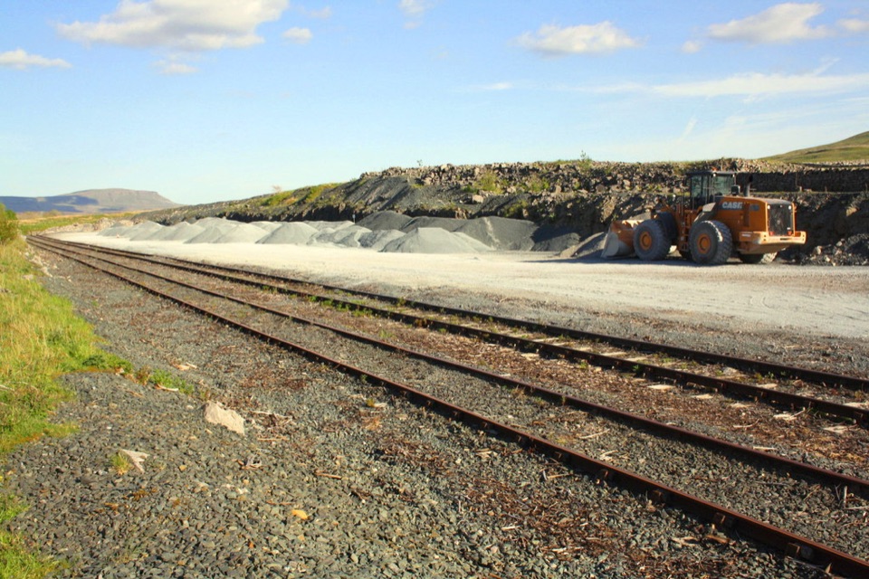
The quarry has been left to nature and now reads as ponds, grass and bare limestone rather than industry, with the railway and the wider Ribblehead landscape as a backdrop. The payoff at the turnaround point is the Gauber site, a Norse period farmstead with three rectangular stone buildings on high limestone ground near 340 m, plus a mound and cist in the same open pasture. Very few walks this short put reclaimed industrial heritage, railway history and a Viking-age settlement into a single there-and-back outing.
 Parkwolf’s verdictWhy it is worth the short mileage
Map & elevation
Plan your hike

The highest, rockiest slopes around here are a summer buffet for grizzly bears.
Yorkshire Dales Tour Guide
Parkwolf is a GPS audio tour guide for Yorkshire Dales National Park. As you drive, it chimes in with what’s ahead: hidden gems, upcoming stops, history, geology, and wildlife, right through your car’s speakers.
Recorded for this area
Ribblehead Viaduct“Up ahead is Ribblehead Viaduct, its twenty-four arches stretching across the open moor beneath Whernside.”
Plays on the road 0.4 km from the trailhead in the Parkwolf Yorkshire Dales Tour Guide.
More stories near here in the app
“Fantastic app with many points of information… It’s great to just turn on while you’re driving and it gives you an audio tour of the national Park. We love it!!!!”


Trail guide
This is an out-and-back walk of about 1.68 miles round trip, starting from the quarry parking and access off the B6255 near Ribblehead station. The mapped corridor is roughly 1.35 km one way, so the map draws the line once and you walk it out and back. Height along the corridor stays in a narrow band, from about 315 m at the start to the mid 330s near the farmstead ground, so there is no sustained climb.
From the parking circle you pick up the waymarked path into the former quarry, passing close to ponds and old worked faces, then continue on a rough track and path south through open limestone pasture to the Gauber farmstead area. The return retraces the same corridor back to the start. Green waymarkers help, but this is a rough field-and-quarry route rather than a manicured trail, and wall stiles feature along the way.
Easy on distance, less forgiving underfoot. Expect:
Wear boots with grip and give yourself more time than the mileage suggests.
There are steep unfenced cliff faces in the old quarry and several ponds with deep water, so keep well back from edges and keep children and dogs close. The wider limestone landscape here also brings caves, limestone pavement and sink holes, and the standing advice is to stick to the paths rather than wander across open rock.
Dogs are allowed on this public rights of way route with close control. Use a lead in fields with livestock. Around quarry edges, open water and bare limestone, a lead is the sensible default whatever the season.
From the B6255 head towards Ingleton, go under the railway bridge, then turn immediately left up the unmade track. The parking circle sits about 400 m along on the left. There is no step-free or accessible surfacing on this walk, so treat it as a rough, unpaved countryside path throughout.
Wildlife
 10 sightingsEurasian OtterMost seen around 7 PMSighting map
 11 sightingsAtlantic SalmonMost seen around 7 AMSighting map
 12 sightingsShort-eared OwlMost seen around 7 PMSighting map
 22 sightingsWestern Barn OwlMost seen around 6 AMSighting map
 27 sightingsTawny OwlMost seen around 7 PMSighting map
 34 sightingsCommon KingfisherMost seen around 7 AMSighting map
Sighting maps show where each species has been reported across Yorkshire Dales. Wildlife moves, so no sighting is guaranteed.
Keep exploring
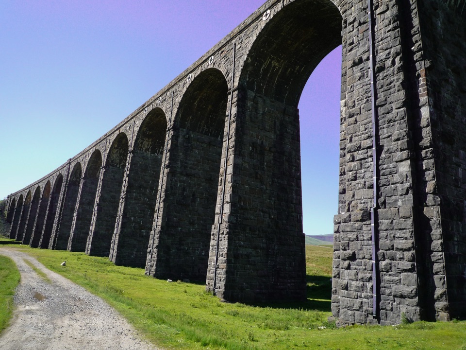 EasyRibblehead Audio Trail2.4 km · 1.5 hr · At the trailheadShort audio loop through navvy camps and lime kilns beneath the viaduct
 ChallengingWhernside Circular12.6 km · 4.5 hr · 0.4 km awaySteep ridge loop from Ribblehead Viaduct to a 736 m fell summit
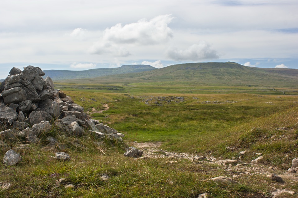 ModerateSulber Nick Accessible Walk6 km · 2.3 hr · 4.8 km awayStile-free limestone track to Sulber Gate with views over Crummack Dale
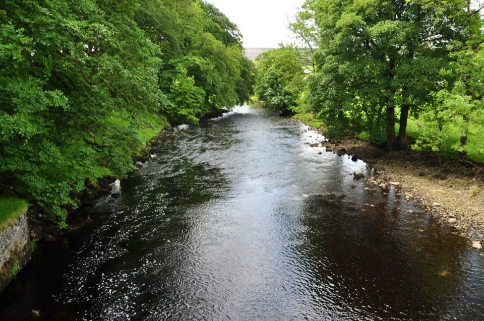 ModerateHorton-in-Ribblesdale to Settle Walk12.9 km · 3.8 hr · 7.3 km awayRibble-side valley walk from Horton station down to Settle station
 ChallengingYorkshire Three Peaks Circular38.6 km · 12 hr · 7.3 km awayThree fell summits, 24 miles and 5,000 feet in one long day
 ModeratePen-y-ghent Circular9.7 km · 3.8 hr · 7.5 km awaySteep wall-side climb to a flat-topped summit, then a walled lane home
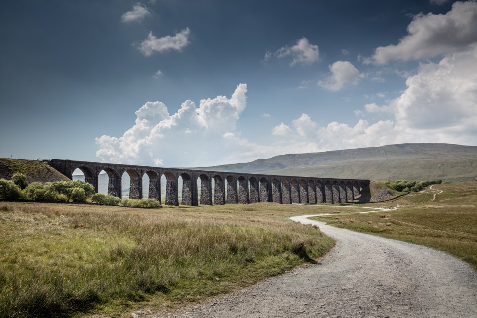 ModerateDent to Ribblehead Walk14.8 km · 5 hr · 8.6 km awayNine moorland miles between two railway stations, ending under the viaduct
 ModerateIngleton Waterfalls Trail6.9 km · 3 hr · 9.2 km awayTicketed 4.3-mile loop past Thornton Force through two wooded gorges
 Sight · 0.9 km awayRibblehead ViaductVictorian stone arches striding across open moss below Whernside
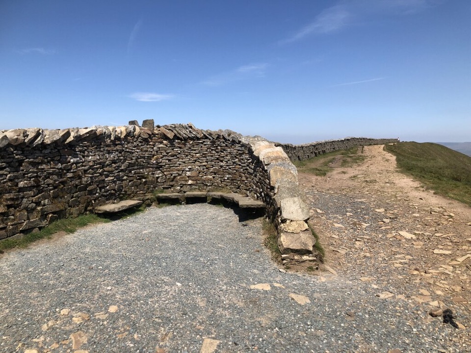 Sight · 3.7 km awayWhernside SummitWhernside Summit: 736 m of ridge walking above Ribblehead
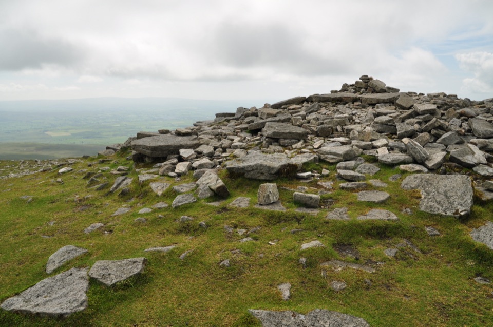 Sight · 5 km awayIngleborough SummitIngleborough Summit: flat gritstone plateau with an ancient hill fort
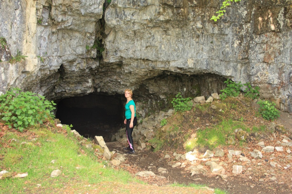 Sight · 6 km awayYordas CaveOld steps, a dark chamber and a hidden underground waterfall
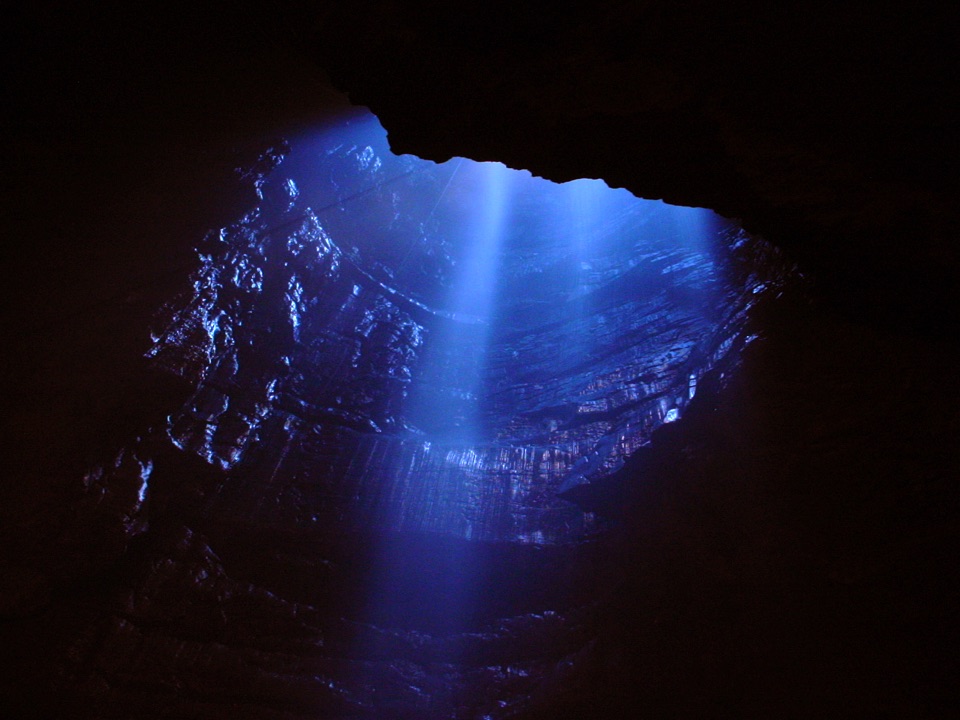 Sight · 6.4 km awayGaping GillA moorland beck vanishes 100m down into a vast hidden chamber
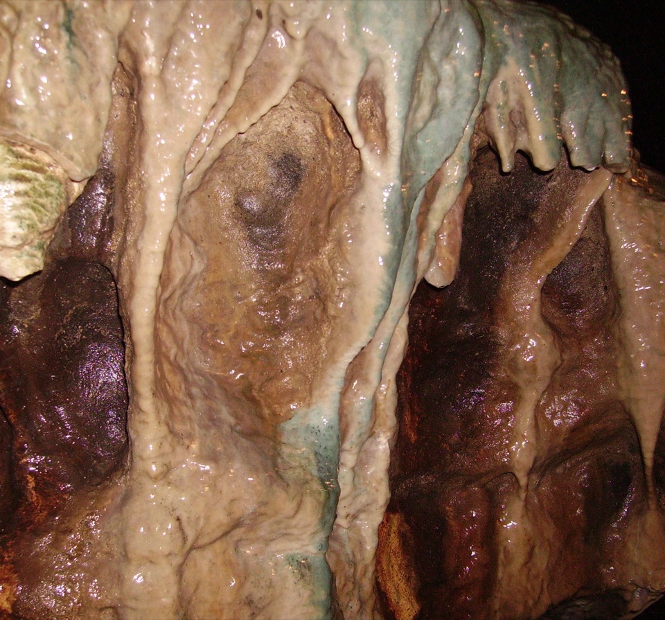 Sight · 6.9 km awayWhite Scar CaveBritain's longest show cave: a guided mile of waterfalls and stalactites
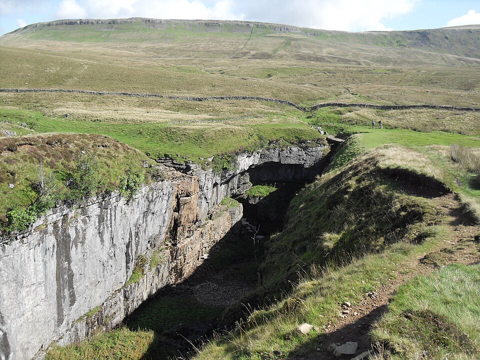 Sight · 7.2 km awayHull PotWalk in to a deep limestone chasm where a cavern collapsed
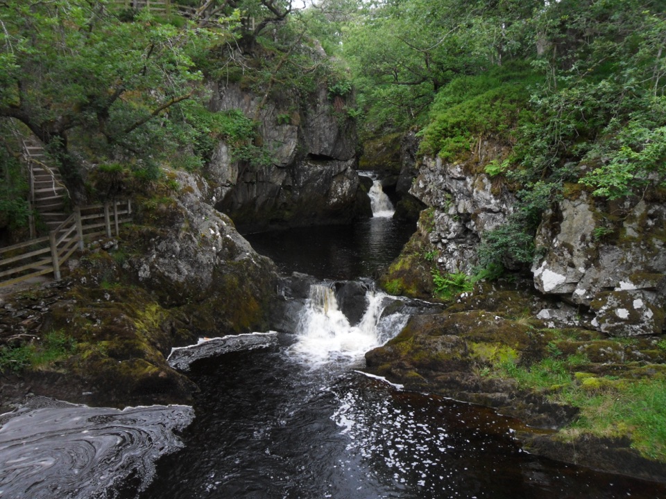 Sight · 7.3 km awayBeezley FallsCascades and Triple Spout on the River Doe in oak woodland
Parkwolf’s Yorkshire Dales ranking
The audio tour guide for the drive, plus offline maps, trails, and wildlife heatmaps for when the signal drops.

