Parking
Use Dentdale Car Park just west of Dent, then walk into the village and follow the road west to the Dales Way. Use signed public parking and allow a short walk to the route start.
Yorkshire Dales National Park, EN
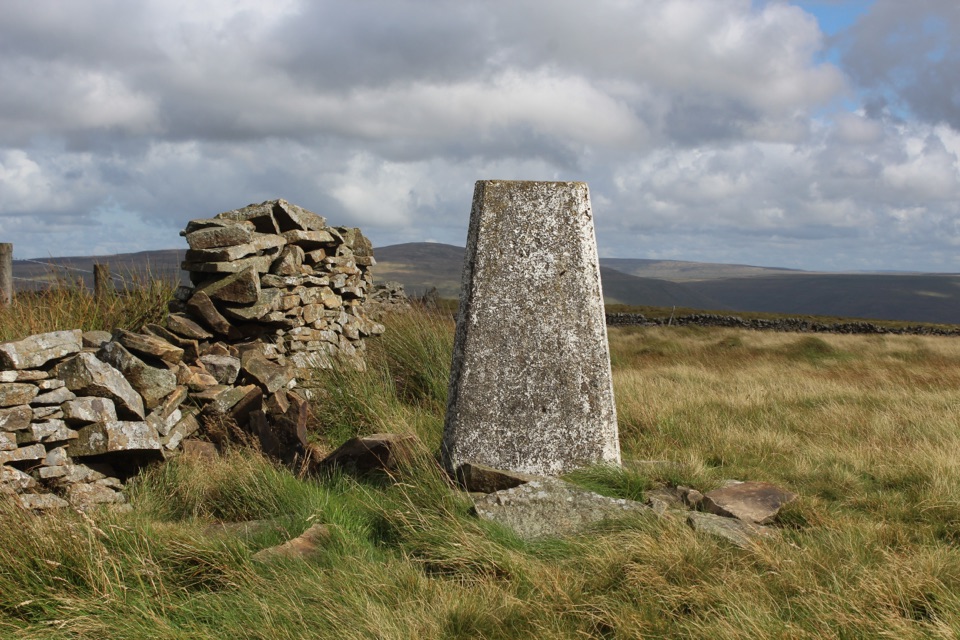
Quiet ridge climb above Dentdale to a trig point with big views
Overview
Map & elevation
Plan your hike

The highest, rockiest slopes around here are a summer buffet for grizzly bears.
Yorkshire Dales Tour Guide
Parkwolf is a GPS audio tour guide for Yorkshire Dales National Park. As you drive, it chimes in with what’s ahead: hidden gems, upcoming stops, history, geology, and wildlife, right through your car’s speakers.
Recorded for this trailhead
Dent Village and Dentdale“You're coming up on Dent, a compact village of tight cobbles and white-walled cottages in deep Dentdale. Park at Dentdale Car Park and wander on foot.”
Plays as you drive up to this trailhead in the Parkwolf Yorkshire Dales Tour Guide.
More stories near here in the app
“Fantastic app with many points of information… It’s great to just turn on while you’re driving and it gives you an audio tour of the national Park. We love it!!!!”


Trail guide
A 6.3-mile loop out of Dent village, with about 441 m of ascent and roughly 3.5 hours of walking. Start in Dent (parking sits west of the village, at or near the Dentdale car park), follow the road west for a couple of hundred metres to pick up the Dales Way, then walk the riverside path beside the River Dee to Barth Bridge. From there a lane takes you up past Lunds Farm and onto Long Moor, where the ground opens out and you gain the western end of the ridge. Follow the crest east to the 556 m summit and trig point, then take the steep direct line back down toward Dent and the valley floor.
The ridge is a quiet one, and that is the appeal. On a clear day the views run out to the Howgills, the Lake District fells and the Yorkshire Three Peaks, with Dentdale laid out below. Skylarks and curlews are often heard over the moor in spring and early summer, though nothing is guaranteed.
Call it moderate to hard in practice, around 6 out of 10. The valley section is easy going. The climb from Lunds Farm onto Long Moor is sustained rather than technical, and the ground alongside the wall can be wet underfoot. On the ridge expect rough, open moorland. The descent is steep and can be slow, so allow more time than the distance suggests.
This is not a waymarked route from end to end. The lower half uses public paths and tracks, but the fell section crosses open-access moorland and includes permissive and largely pathless ground, so there is no public right of way over the whole ridge. On the direct descent you need to find the gaps in the dry-stone walls, which is where people lose the thread. Carry an up-to-date OS map and compass, and know how to use them in poor visibility.
Open access allows walking, but restrictions can be applied at certain times or in certain places. Check the current Natural England and Yorkshire Dales access mapping before you set out, and read any signs at the field boundaries.
On the walking and open-access sections where dog access applies, dogs are allowed provided they are kept under close control. There is livestock on the enclosed land and ground-nesting birds on the moor, so a short lead is required from 1 March to 31 July on the relevant access land. Some access land carries its own dog restrictions, and local or seasonal restrictions may apply, so check signs and current notices before you commit to the fell section.
Wildlife
 10 sightingsEurasian OtterMost seen around 7 PMSighting map
 11 sightingsAtlantic SalmonMost seen around 7 AMSighting map
 12 sightingsShort-eared OwlMost seen around 7 PMSighting map
 22 sightingsWestern Barn OwlMost seen around 6 AMSighting map
 27 sightingsTawny OwlMost seen around 7 PMSighting map
 34 sightingsCommon KingfisherMost seen around 7 AMSighting map
Sighting maps show where each species has been reported across Yorkshire Dales. Wildlife moves, so no sighting is guaranteed.
Keep exploring
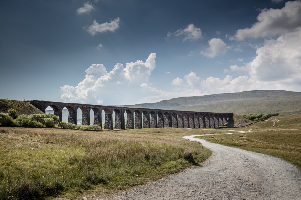 ModerateDent to Ribblehead Walk14.8 km · 5 hr · 6 km awayNine moorland miles between two railway stations, ending under the viaduct
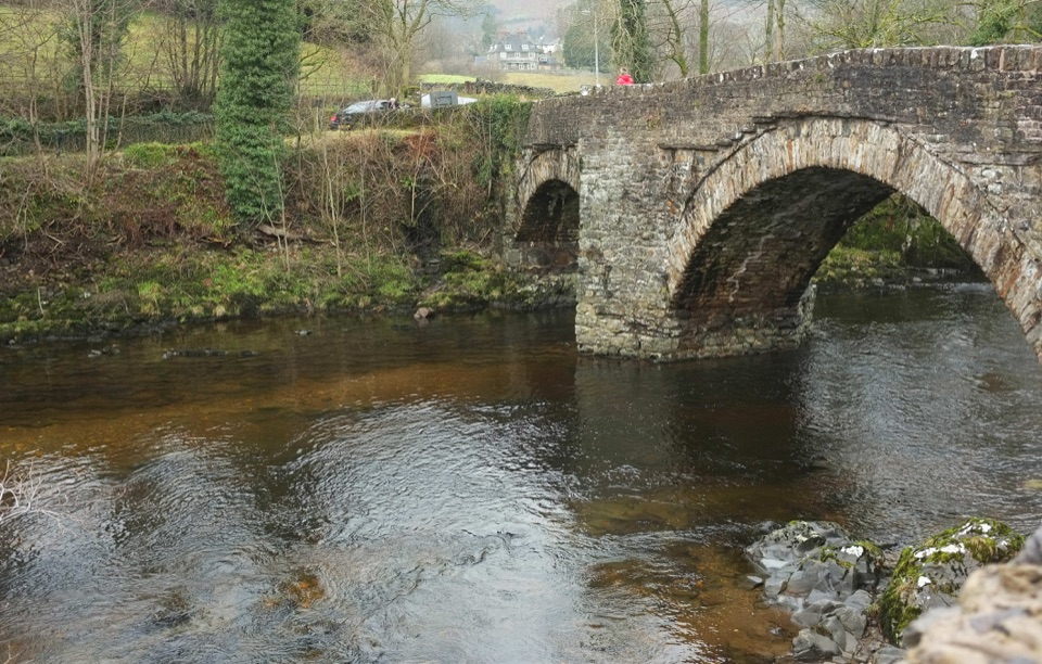 EasySedbergh and Millthrop4 km · 1.3 hr · 6.8 km awayRiverside loop to Millthrop Bridge, then field paths and Akay Wood
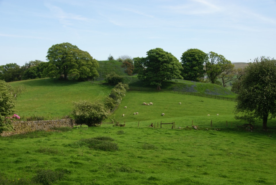 ModerateSedbergh to Stone Hall2.9 km · 1.3 hr · 6.8 km awayA compact field-and-lane loop from Sedbergh with castle mound views
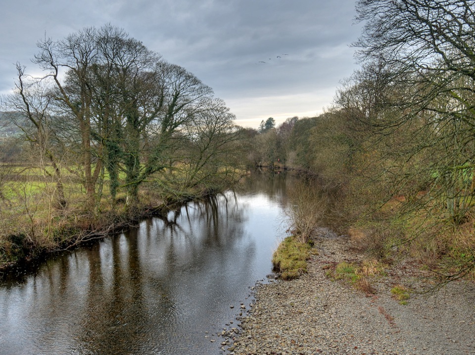 ModerateRiver Rawthey Accessible Walk2.5 km · 1.3 hr · 6.8 km awayTown pavements to a wooded riverbank, herons, dippers and picnic benches
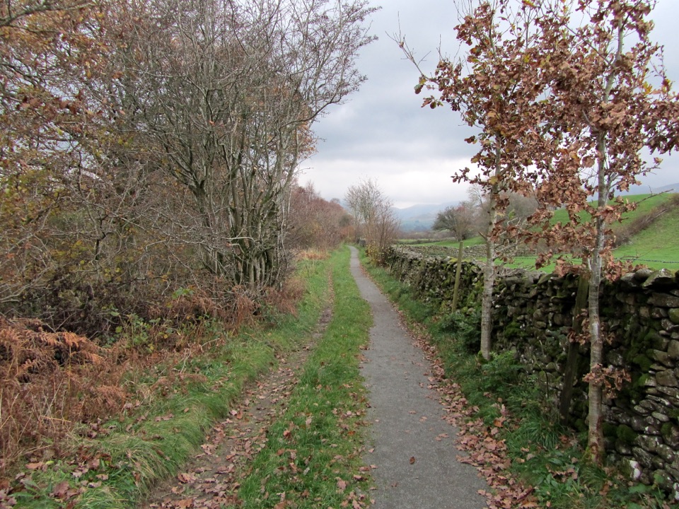 EasyKillington New Bridge Accessible Walk1.2 km · 45 min · 8.9 km awaySmooth, level path beside the River Lune to a riverside viewing platform
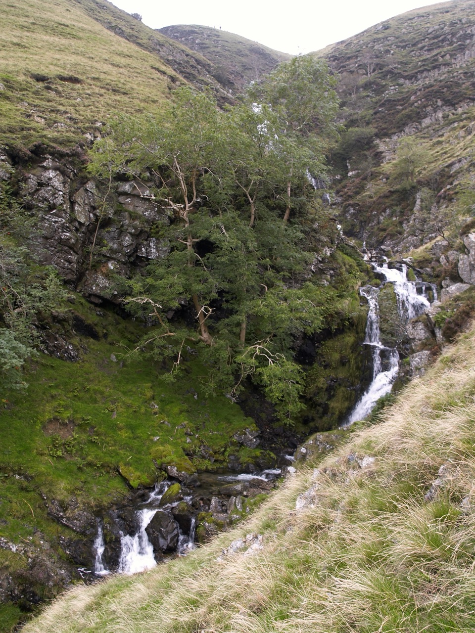 ChallengingCautley Spout and The Calf Circular8.4 km · 3.8 hr · 9.8 km awayClimb beside a spectacular waterfall to the Howgill Fells' highest summit
 ChallengingWhernside Circular12.6 km · 4.5 hr · 9.9 km awaySteep ridge loop from Ribblehead Viaduct to a 736 m fell summit
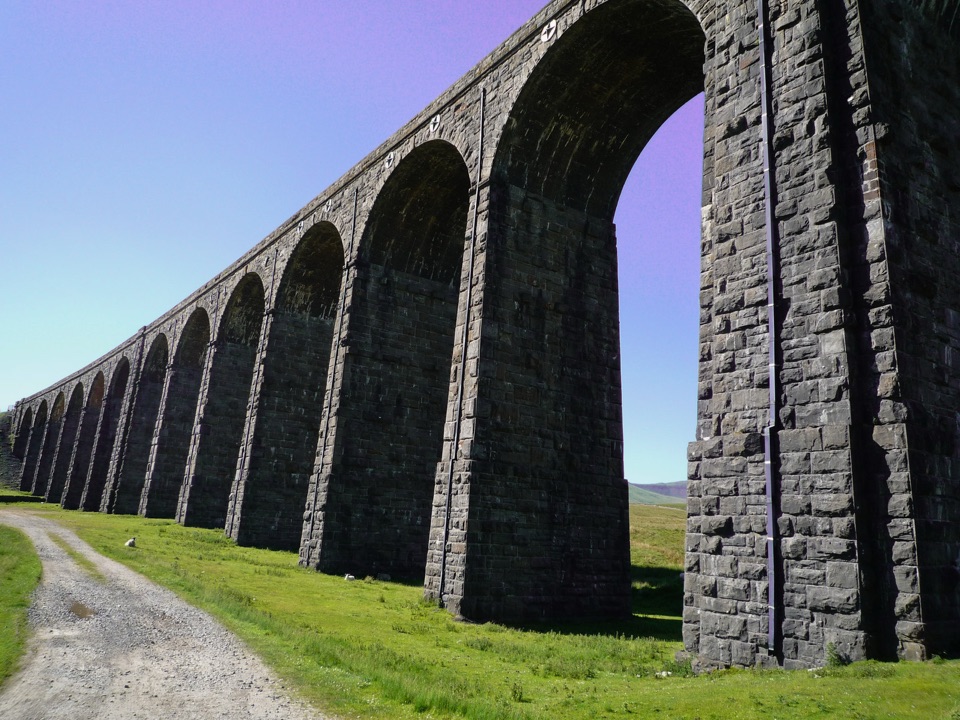 EasyRibblehead Audio Trail2.4 km · 1.5 hr · 10.2 km awayShort audio loop through navvy camps and lime kilns beneath the viaduct
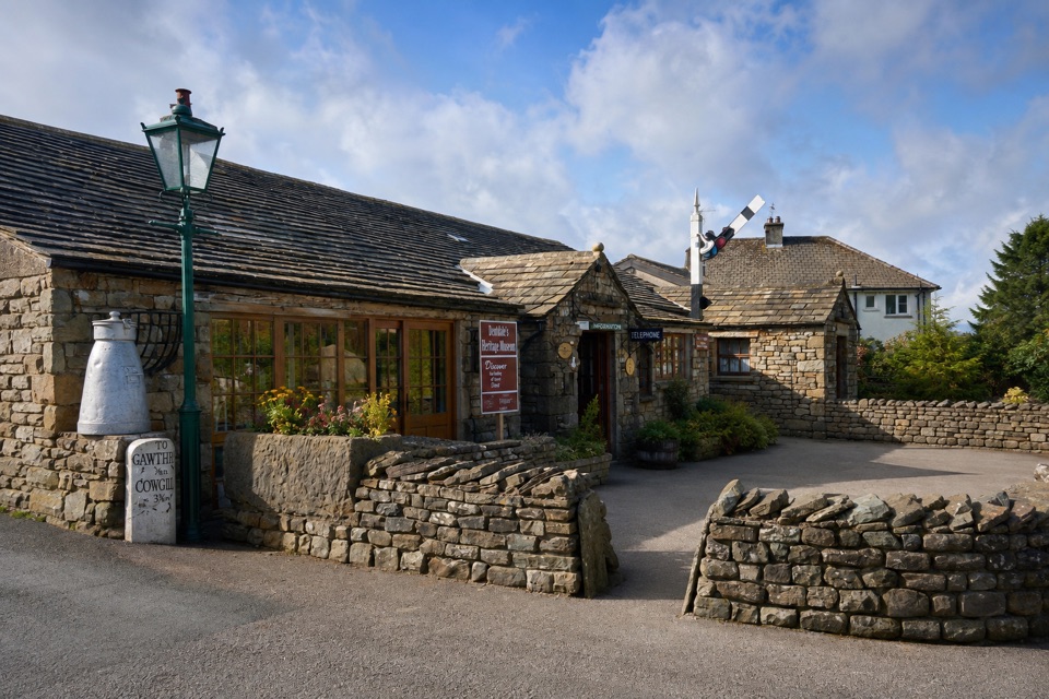 Sight · 0.1 km awayDent Village Heritage Centre & MuseumDales farm life, terrible knitters and a penny farthing indoors
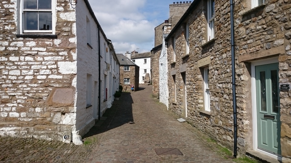 Sight · 0.2 km awayDentCobbled lanes, whitewashed cottages and Norman stonework deep in Dentdale
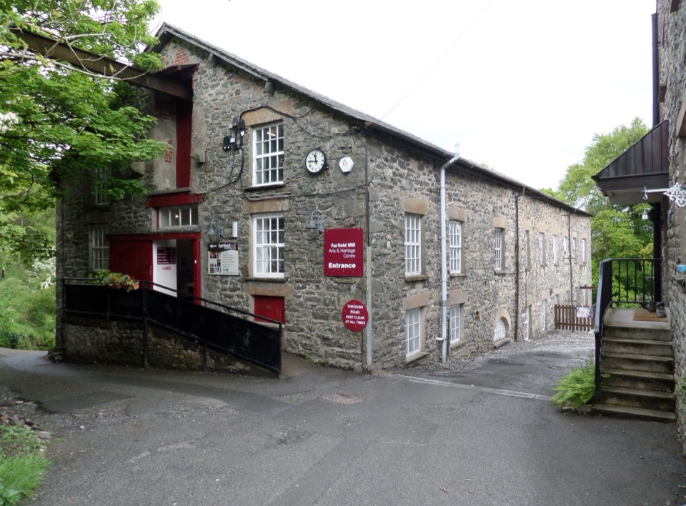 Sight · 5.5 km awayFarfield MillVictorian woollen mill now four floors of art, craft and looms
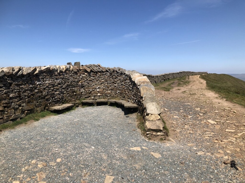 Sight · 6.6 km awayWhernside SummitWhernside Summit: 736 m of ridge walking above Ribblehead
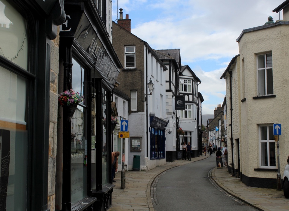 Sight · 6.9 km awaySedberghEngland's book town: stone streets with the Howgill Fells above
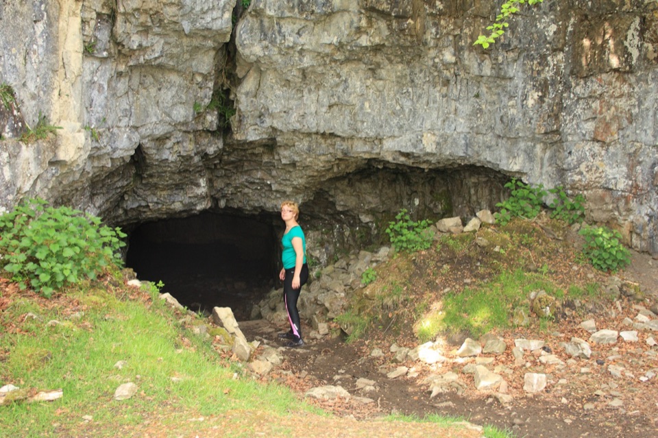 Sight · 8 km awayYordas CaveOld steps, a dark chamber and a hidden underground waterfall
 Sight · 9.4 km awayRibblehead ViaductVictorian stone arches striding across open moss below Whernside
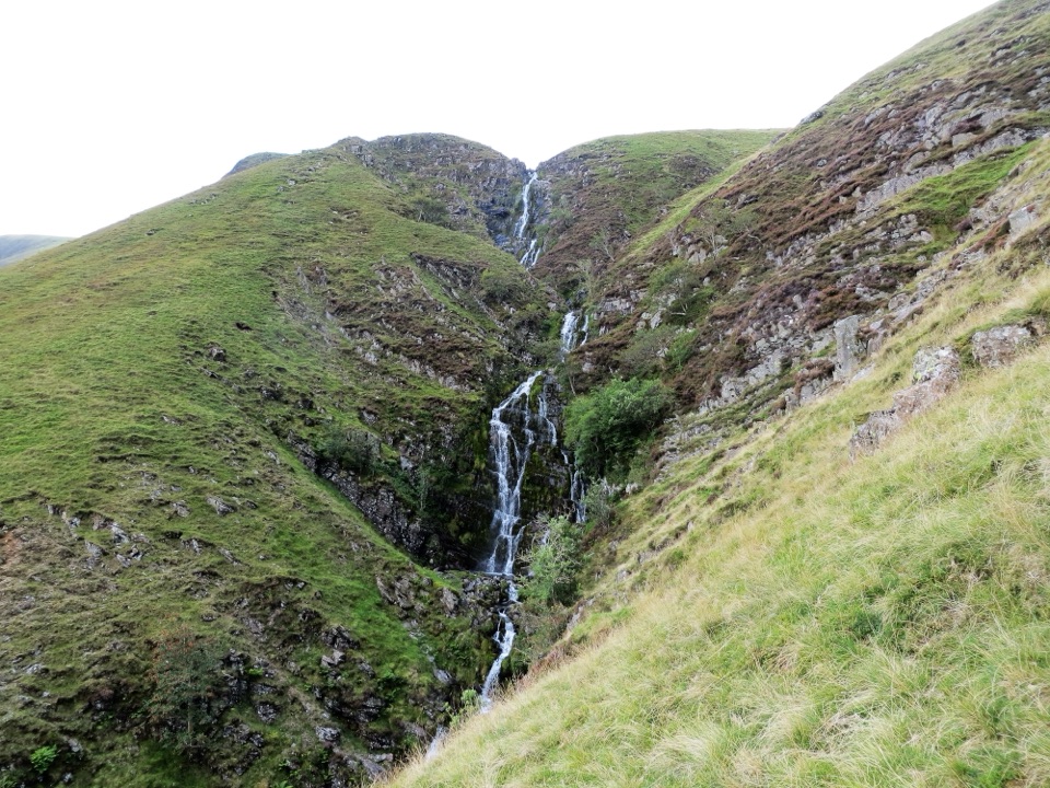 Sight · 10.7 km awayCautley SpoutCautley Spout, England's highest above-ground cascade, tumbles nearly 200m
Parkwolf’s Yorkshire Dales ranking

The audio tour guide for the drive, plus offline maps, trails, and wildlife heatmaps for when the signal drops.




