Parking
Use the Ribblehead railway station area as the trailhead, which is where the loop begins and ends. Arriving by train works neatly for a loop like this. Park considerately and keep access clear for railway users and local traffic.
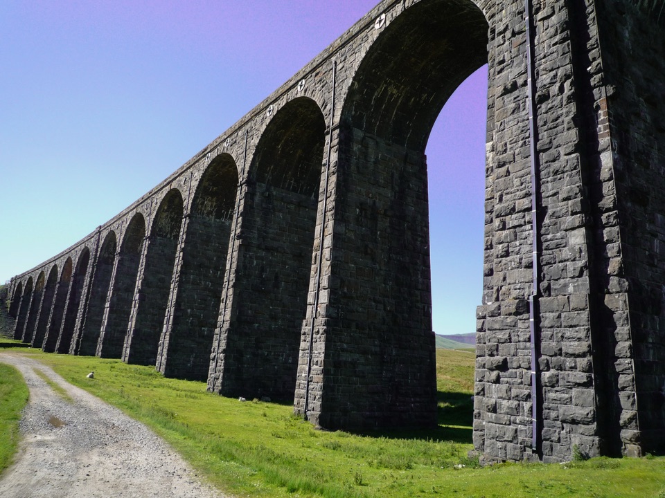
Yorkshire Dales National Park, EN
Short audio loop through navvy camps and lime kilns beneath the viaduct
Overview
A closed loop of 1.5 miles / 2.4 km that starts and finishes at Ribblehead railway station, following the numbered listening stops in order. Height gain is minimal, with the ground staying between roughly 292 and 315 metres, so the effort goes into looking and listening rather than climbing.
Map & elevation
Plan your hike

The highest, rockiest slopes around here are a summer buffet for grizzly bears.
Yorkshire Dales Tour Guide
Parkwolf is a GPS audio tour guide for Yorkshire Dales National Park. As you drive, it chimes in with what’s ahead: hidden gems, upcoming stops, history, geology, and wildlife, right through your car’s speakers.
Recorded for this trailhead
Ribblehead Viaduct“Up ahead is Ribblehead Viaduct, its twenty-four arches stretching across the open moor beneath Whernside.”
Plays as you drive up to this trailhead in the Parkwolf Yorkshire Dales Tour Guide.
More stories near here in the app
“Fantastic app with many points of information… It’s great to just turn on while you’re driving and it gives you an audio tour of the national Park. We love it!!!!”


Trail guide
From the station the loop picks up the Station Inn and road approach, crosses at Batty Green and Sandy Hill, then swings toward the viaduct approach. From there it threads the working remains of the construction era: the lime kiln, the brickworks, the locomotive maintenance shed, the former construction settlement known as Belgravia, and the stone sorting yard with its sidings, before returning along the viaduct side to the station. The payoff is understanding what you are standing in. The 24 stone arches rising about 32 metres are the obvious landmark, but the audio ties them to the navvy camps that built them and to the railway builders who died here through accidents, fights and smallpox.
Difficulty 3/10. It is short and low-level, but not a fully surfaced or traffic-free stroll. Expect station-side service and track segments, a short stretch of the B6255 road approach, public bridleway and track, some compacted footway, and rougher informal paths around the historic sites. Rough, uneven ground and wet patches on moorland are practical considerations, so boots or sturdy shoes make more sense than trainers.
The railway here is live and the road approach carries traffic. Keep well clear of the track and station operations, walk facing traffic on the short road section, and cross only at designated crossing points. Keep children close at the station end and near the road crossing.
Dogs may use the public rights of way on this route. Keep them on a lead on rights of way and around livestock, and on a short lead from March to July to protect ground-nesting birds.
Use the Ribblehead railway station area as the trailhead, which is where the loop begins and ends. Arriving by train works neatly for a loop like this. Park considerately and keep access clear for railway users and local traffic.
The area around Ribblehead offers other short walks, including the quarry walk, if you want a second easy outing on the same visit. For a full day on high ground, the Whernside circular and the wider Three Peaks route start from this same corner of the Dales and ask for far more time, fitness and navigation than this heritage loop.
Wildlife
 10 sightingsEurasian OtterMost seen around 7 PMSighting map
 11 sightingsAtlantic SalmonMost seen around 7 AMSighting map
 12 sightingsShort-eared OwlMost seen around 7 PMSighting map
 22 sightingsWestern Barn OwlMost seen around 6 AMSighting map
 27 sightingsTawny OwlMost seen around 7 PMSighting map
 34 sightingsCommon KingfisherMost seen around 7 AMSighting map
Sighting maps show where each species has been reported across Yorkshire Dales. Wildlife moves, so no sighting is guaranteed.
Keep exploring
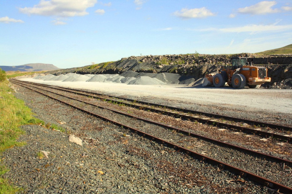 ModerateRibblehead Quarry Walk2.7 km · 1.3 hr · At the trailheadQuarry ponds, limestone pasture and a Viking farmstead in 1.68 miles
 ChallengingWhernside Circular12.6 km · 4.5 hr · 0.4 km awaySteep ridge loop from Ribblehead Viaduct to a 736 m fell summit
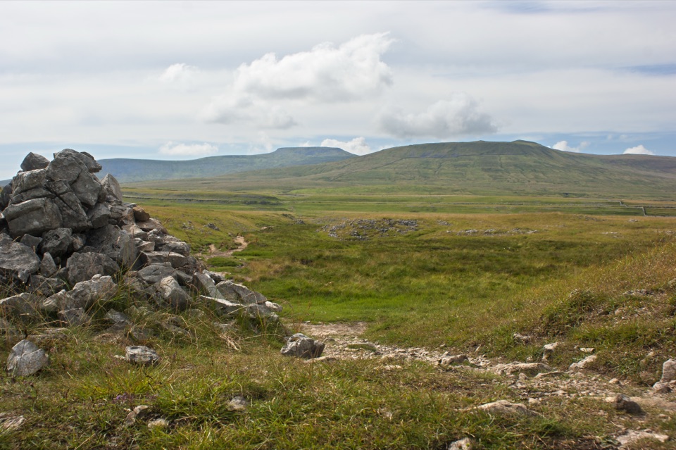 ModerateSulber Nick Accessible Walk6 km · 2.3 hr · 4.8 km awayStile-free limestone track to Sulber Gate with views over Crummack Dale
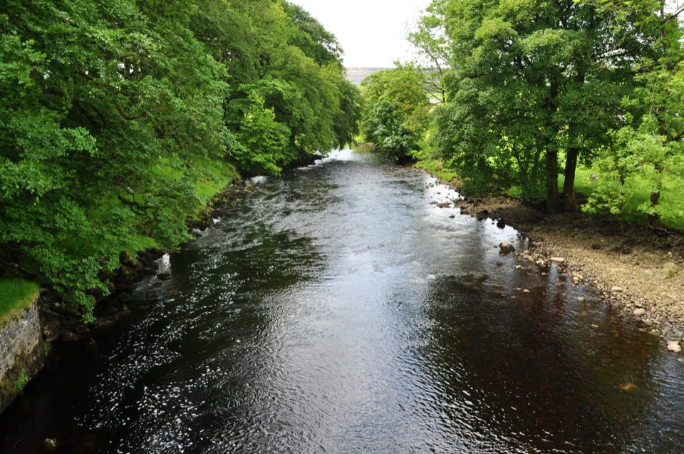 ModerateHorton-in-Ribblesdale to Settle Walk12.9 km · 3.8 hr · 7.3 km awayRibble-side valley walk from Horton station down to Settle station
 ChallengingYorkshire Three Peaks Circular38.6 km · 12 hr · 7.3 km awayThree fell summits, 24 miles and 5,000 feet in one long day
 ModeratePen-y-ghent Circular9.7 km · 3.8 hr · 7.6 km awaySteep wall-side climb to a flat-topped summit, then a walled lane home
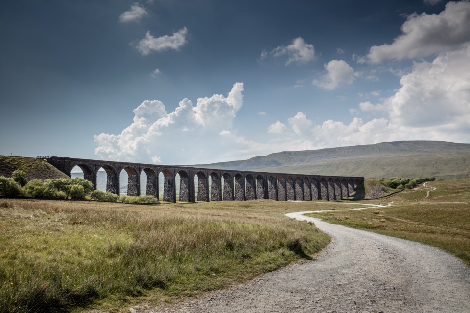 ModerateDent to Ribblehead Walk14.8 km · 5 hr · 8.6 km awayNine moorland miles between two railway stations, ending under the viaduct
 ModerateIngleton Waterfalls Trail6.9 km · 3 hr · 9.2 km awayTicketed 4.3-mile loop past Thornton Force through two wooded gorges
 Sight · 0.8 km awayRibblehead ViaductVictorian stone arches striding across open moss below Whernside
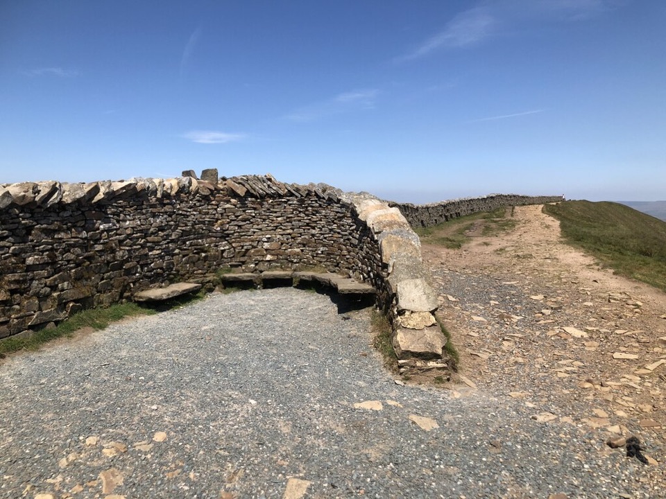 Sight · 3.7 km awayWhernside SummitWhernside Summit: 736 m of ridge walking above Ribblehead
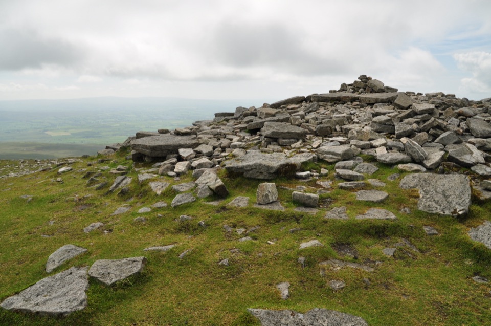 Sight · 5 km awayIngleborough SummitIngleborough Summit: flat gritstone plateau with an ancient hill fort
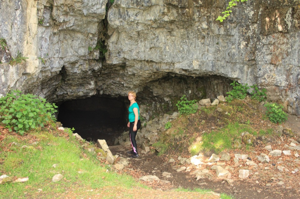 Sight · 6 km awayYordas CaveOld steps, a dark chamber and a hidden underground waterfall
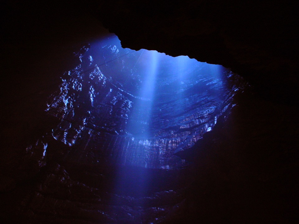 Sight · 6.4 km awayGaping GillA moorland beck vanishes 100m down into a vast hidden chamber
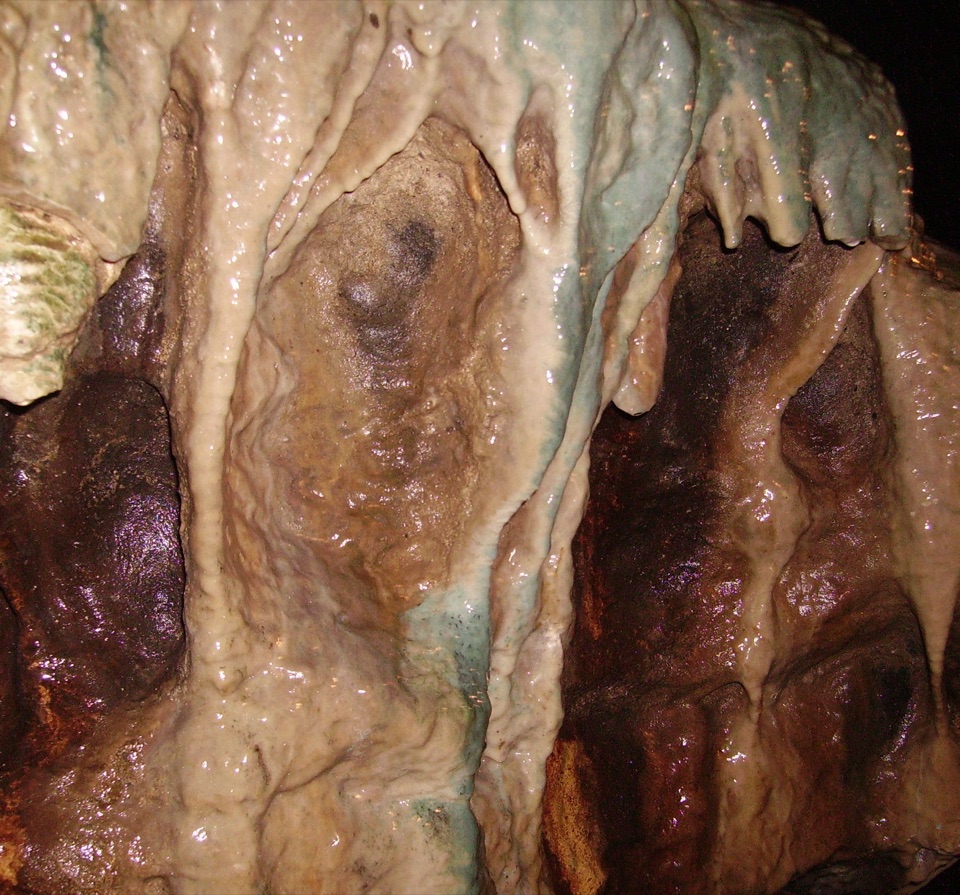 Sight · 6.9 km awayWhite Scar CaveBritain's longest show cave: a guided mile of waterfalls and stalactites
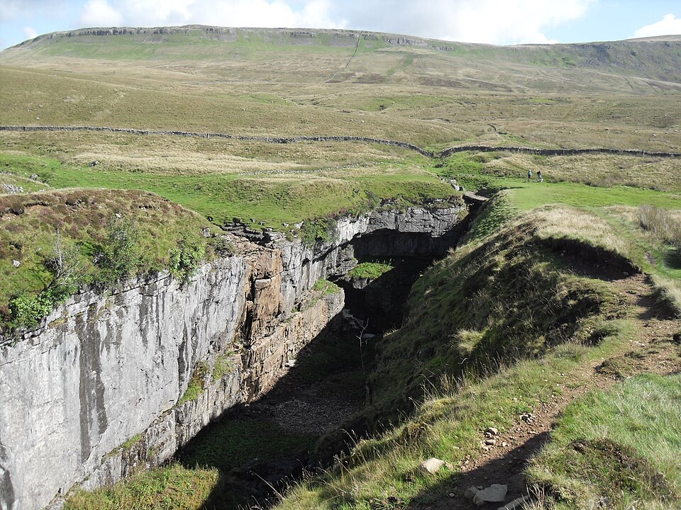 Sight · 7.3 km awayHull PotWalk in to a deep limestone chasm where a cavern collapsed
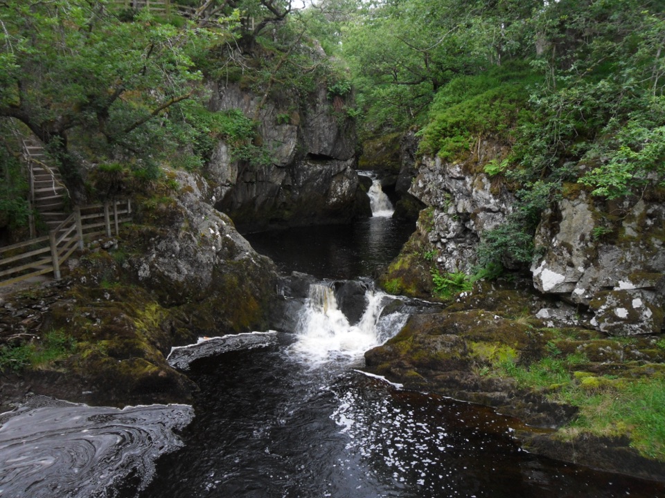 Sight · 7.4 km awayBeezley FallsCascades and Triple Spout on the River Doe in oak woodland
Parkwolf’s Yorkshire Dales ranking

The audio tour guide for the drive, plus offline maps, trails, and wildlife heatmaps for when the signal drops.

