Parking
Limited parking is available at Dent Station. The route starts at Dent railway station and ends at Ribblehead; the railway connects the two ends, so plan the return journey before setting out.
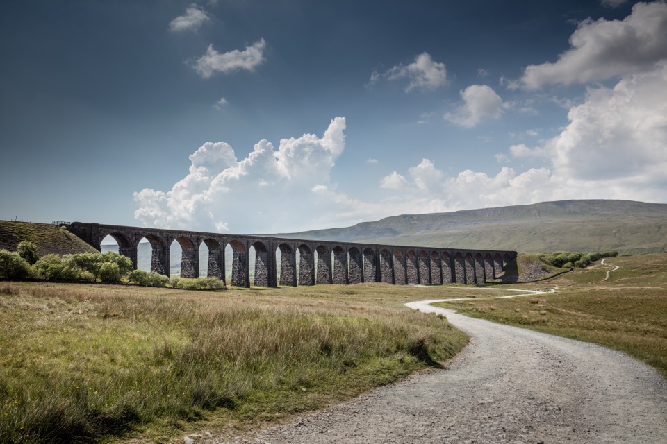
Yorkshire Dales National Park, EN
Nine moorland miles between two railway stations, ending under the viaduct
Overview
The walk climbs away from Dent Station, then settles onto a long stretch that follows the contours with Dentdale falling away below. It drops down Arten Gill, then continues past Dent Head and out across Blea Moor, where the landscape opens into broad, quiet moorland. The finish is the best part: the ground falls away toward Ribblehead with the Three Peaks laid out ahead and the viaduct growing larger as you approach it.
 Parkwolf’s verdictThe route sequence and the payoff
Map & elevation
Plan your hike

The highest, rockiest slopes around here are a summer buffet for grizzly bears.
Yorkshire Dales Tour Guide
Parkwolf is a GPS audio tour guide for Yorkshire Dales National Park. As you drive, it chimes in with what’s ahead: hidden gems, upcoming stops, history, geology, and wildlife, right through your car’s speakers.
Recorded for this area
The Station Above Its Village“Above Cowgill is Dent railway station, England’s highest mainline station at eleven hundred and fifty feet. Dent village is about four miles away and six hundred feet lower.”
Plays on the road 1.5 km from the trailhead in the Parkwolf Yorkshire Dales Tour Guide.
More stories near here in the app
“Fantastic app with many points of information… It’s great to just turn on while you’re driving and it gives you an audio tour of the national Park. We love it!!!!”


Trail guide
A point-to-point linear crossing between two railway stations, with 9.2 miles (14.7 km) one way. You do not come back the way you came, so plan the return before you set off. A train service links the two ends, which is what makes the walk work as a day out rather than an awkward car shuttle.
Call it moderate to moderately strenuous, around 6 out of 10. The length and the exposure do more to tire you than any single climb. Surfaces are good throughout, on a mix of bridleway and footpath, and gradients vary rather than piling into one relentless pull. Blea Moor is open ground and feels remote in poor visibility, so navigation confidence matters more here than technical skill.
There are two stretches on tarmac. Roughly a mile of road and verge walking near Dent, and a shorter road section near Bridge End. These are country lanes rather than busy roads, but the verges are narrow in places and you need to stay alert to traffic and walk facing it where sensible.
The railway is the through line: engineering works, the tunnel workings at Blea Moor, and the viaduct itself as the closing shot. The descent to Ribblehead gives you the wide compositions, with the Three Peaks as backdrop. Arten Gill and the pastures and lanes of Dentdale are the intimate counterpoint earlier in the day.
Dogs are allowed on the public rights of way that make up the route. Keep them on a lead in fields with livestock, use a short lead from March through July to protect ground-nesting birds, and keep them under close control throughout. Limestone country brings its own hazards, including caves, exposed pavement and sink holes, so watch where a loose dog is heading.
It is a long day with a one-way logistics puzzle attached, there is no bail-out point in the middle of Blea Moor, and the tarmac sections near Dent and Bridge End are the least interesting walking of the day. The moor is genuinely exposed when the weather turns. If you want a summit, Whernside nearby is the more obvious target; our view is that this route is worth choosing instead when you would rather have a valley and railway story than a high point, and it is still a substantial day on the hill.
Wildlife
 10 sightingsEurasian OtterMost seen around 7 PMSighting map
 11 sightingsAtlantic SalmonMost seen around 7 AMSighting map
 12 sightingsShort-eared OwlMost seen around 7 PMSighting map
 22 sightingsWestern Barn OwlMost seen around 6 AMSighting map
 27 sightingsTawny OwlMost seen around 7 PMSighting map
 34 sightingsCommon KingfisherMost seen around 7 AMSighting map
Sighting maps show where each species has been reported across Yorkshire Dales. Wildlife moves, so no sighting is guaranteed.
Keep exploring
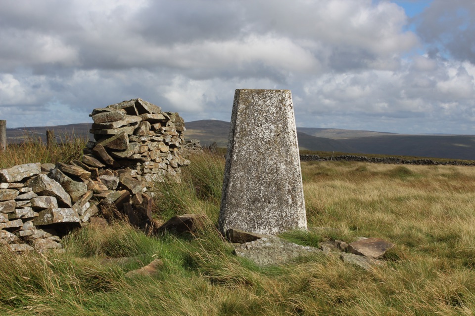 ModerateAye Gill Pike from Dent10.1 km · 3.5 hr · 6 km awayQuiet ridge climb above Dentdale to a trig point with big views
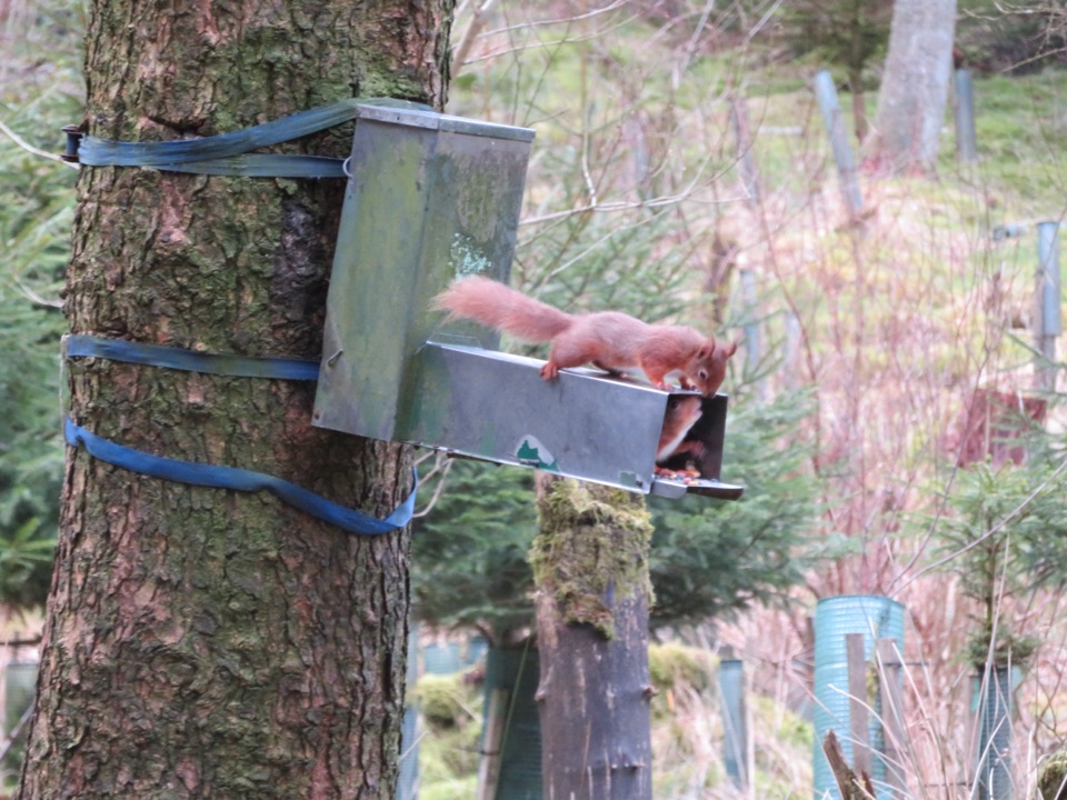 ModerateSnaizeholme Red Squirrel Trail4 km · 2 hr · 6.3 km awaySteep, muddy and worth it for a chance of red squirrels
 ChallengingWhernside Circular12.6 km · 4.5 hr · 8.2 km awaySteep ridge loop from Ribblehead Viaduct to a 736 m fell summit
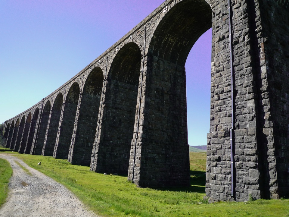 EasyRibblehead Audio Trail2.4 km · 1.5 hr · 8.6 km awayShort audio loop through navvy camps and lime kilns beneath the viaduct
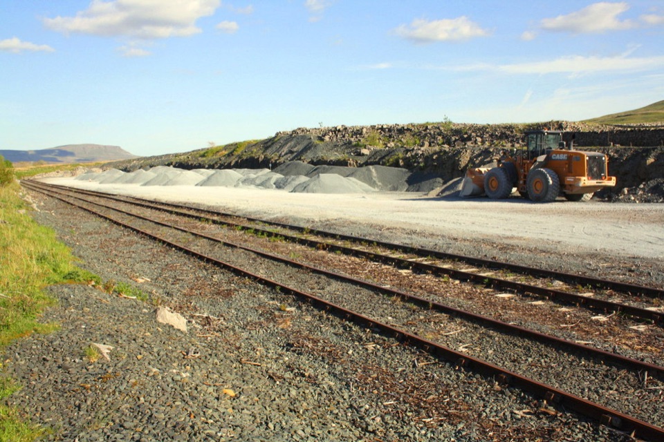 ModerateRibblehead Quarry Walk2.7 km · 1.3 hr · 8.6 km awayQuarry ponds, limestone pasture and a Viking farmstead in 1.68 miles
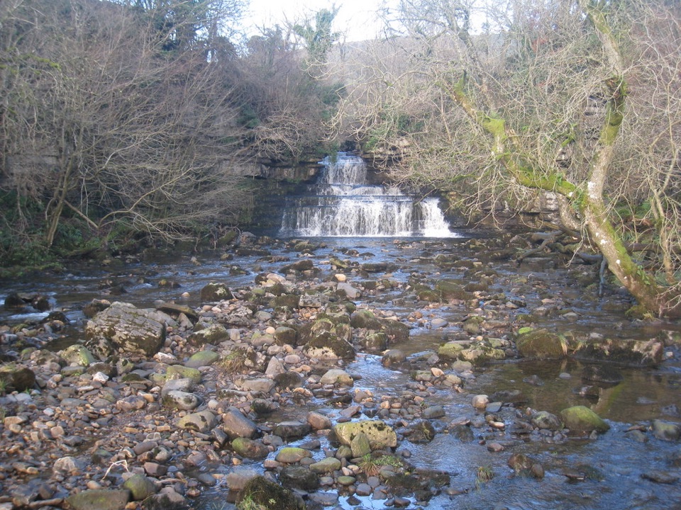 EasyCotter Force Accessible Walk1 km · 30 min · 9.4 km awayHalf a mile of graded gravel to six gentle waterfall cascades
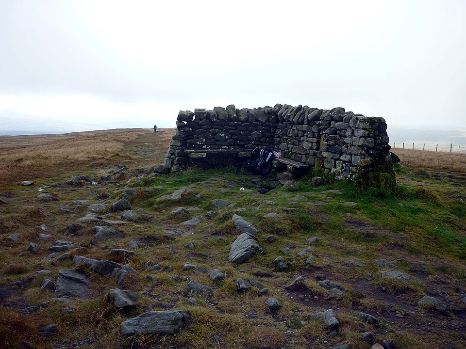 ModerateGreat Shunner Fell14.8 km · 5.7 hr · 10.9 km awaySteady Pennine Way climb from Hardraw to an exposed summit shelter
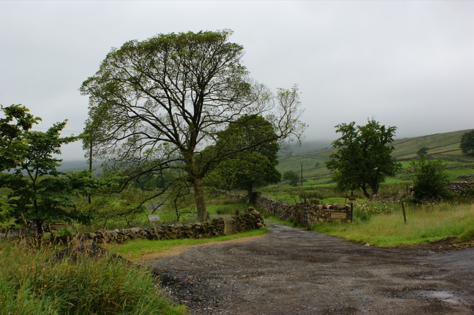 ModerateNethergill Farm Audio Trail2.7 km · 1.5 hr · 11.1 km awayTwelve-stop loop past beck, bog and woods on a working hill farm
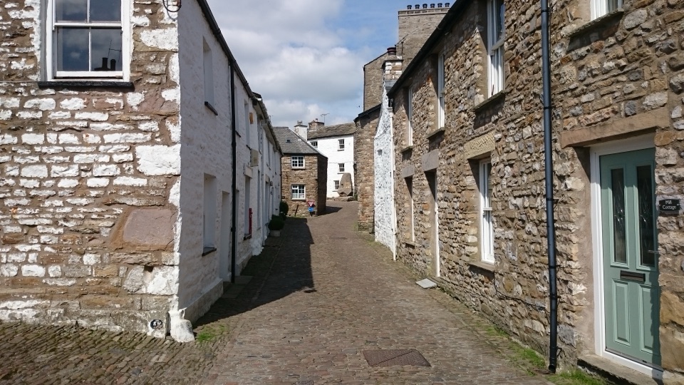 Sight · 5.9 km awayDentCobbled lanes, whitewashed cottages and Norman stonework deep in Dentdale
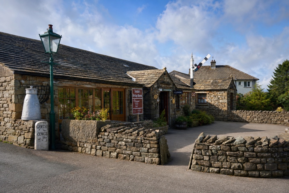 Sight · 6.1 km awayDent Village Heritage Centre & MuseumDales farm life, terrible knitters and a penny farthing indoors
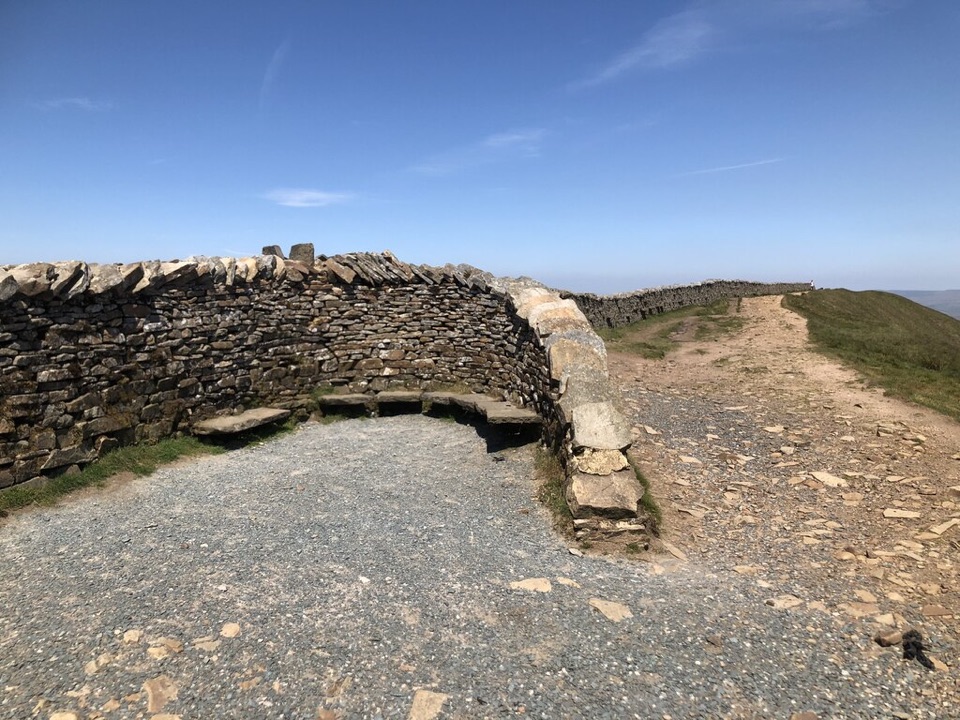 Sight · 6.6 km awayWhernside SummitWhernside Summit: 736 m of ridge walking above Ribblehead
 Sight · 8 km awayRibblehead ViaductVictorian stone arches striding across open moss below WhernsideSight · 9.5 km awayCotter ForceA stile-free woodland stroll to six gentle cascades on Cotterdale Beck
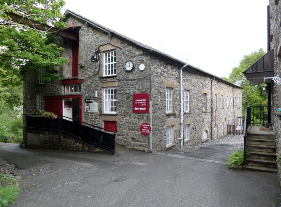 Sight · 9.8 km awayFarfield MillVictorian woollen mill now four floors of art, craft and looms
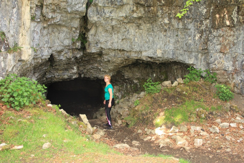 Sight · 10.2 km awayYordas CaveOld steps, a dark chamber and a hidden underground waterfall
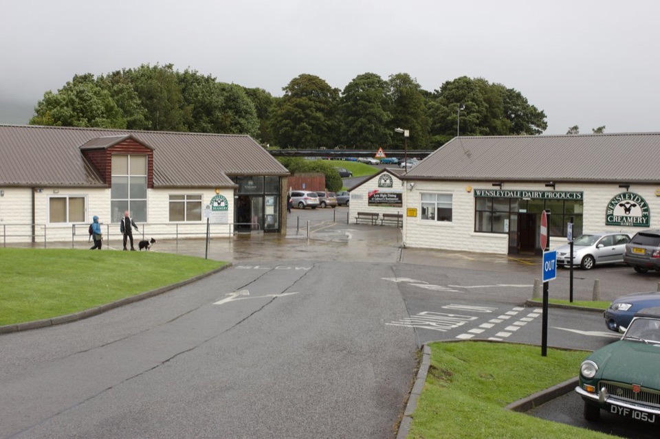 Sight · 10.8 km awayWensleydale Creamery Visitor CentreWatch Wensleydale cheese made by hand, then taste the full range
Parkwolf’s Yorkshire Dales ranking
The audio tour guide for the drive, plus offline maps, trails, and wildlife heatmaps for when the signal drops.




