
Place · 0.2 mi away
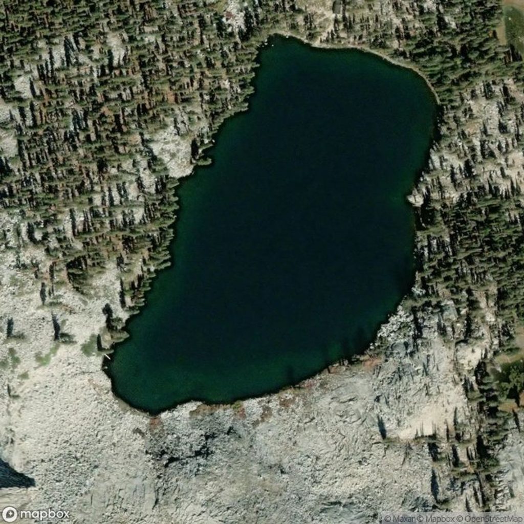
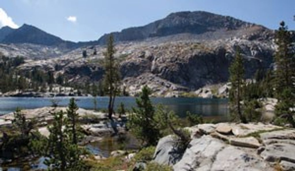
Ostrander Lake is a classic, hard-earned alpine payoff: clear, cold water ringed by granite, views toward the Clark Range, and a sense of being just far enough from the bustle. It’s a moderate-to-strenuous outing that rewards early starts and smart packing.
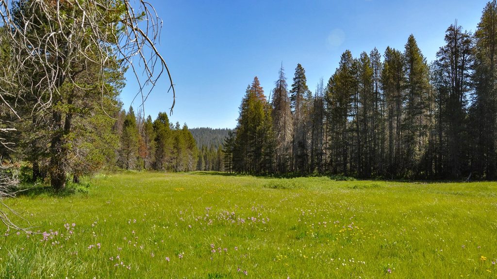
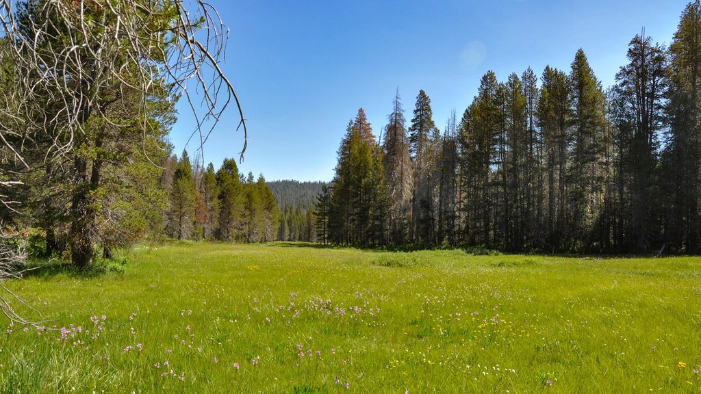
Expect roughly 12 miles round trip with about 1,500–1,800 feet of gain. The first half meanders gently through meadows and recovering lodgepole forest. Wildflowers pop from late June into July. The second half is the crux—long, steady climbing with limited shade and a few “heart-rate” pitches before the lake suddenly appears.
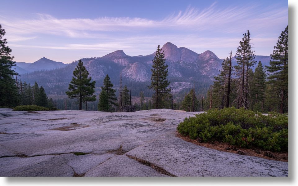
Along the upper miles you’ll catch bigger views toward Illilouette Gorge and the Clark Range, with glimpses even toward Half Dome near the end. At the lake, the granite backdrop of Horse Ridge frames the shoreline; careful off-trail scrambles partway up the ridge deliver broader panoramas.
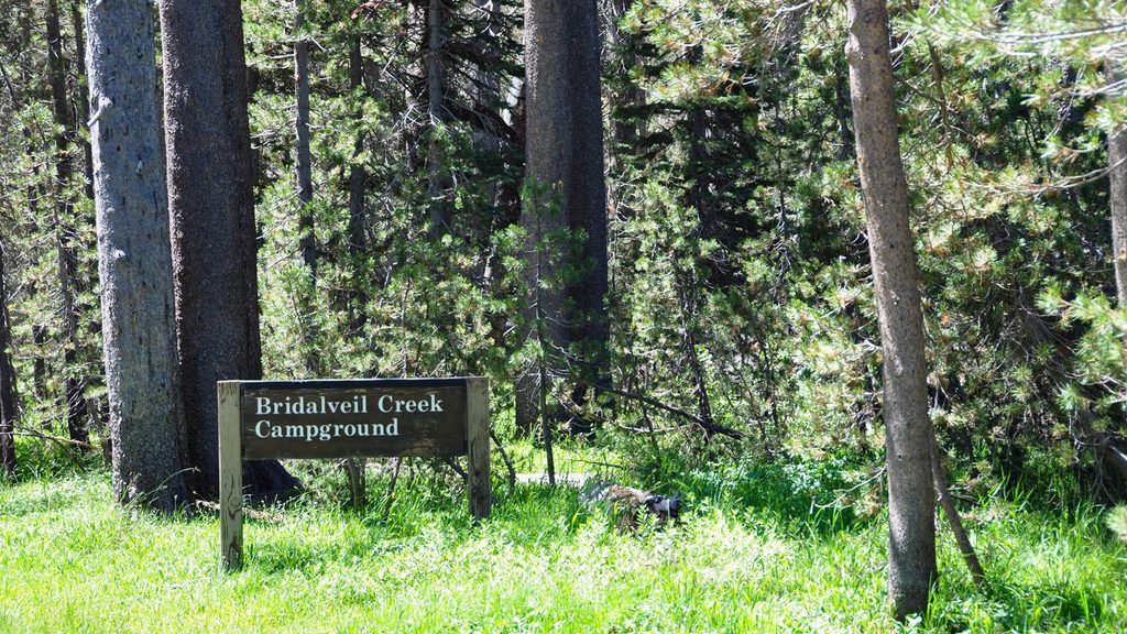
Carry plenty for the climb and bring a solid filter. Early season you’ll cross flowing creeks; later in summer some sources (like Bridalveil Creek along the route) can be slow and mucky, so many hikers draw from the lake. Mosquitoes can be intense around meadows and at dawn/dusk—repellent and a head net can be sanity-savers. Start early to beat both heat and bugs.
Established use sites cluster mostly along the north to northwest shores, and midweek nights are often quieter than weekends. The lake holds trout, with decent luck from shore. On hot afternoons, a quick dip is shockingly cold but wonderfully refreshing.
Overnight trips require a Yosemite wilderness permit for the Ostrander Lake/Lost Bear Meadow trailhead. Permit reservations release well in advance with additional last‑minute availability; pick up your paper permit at an open wilderness center before you go. Bear-resistant canisters are required for all food and trash in the wilderness. Dogs are not allowed on this trail.
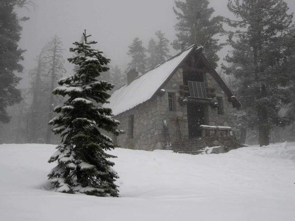
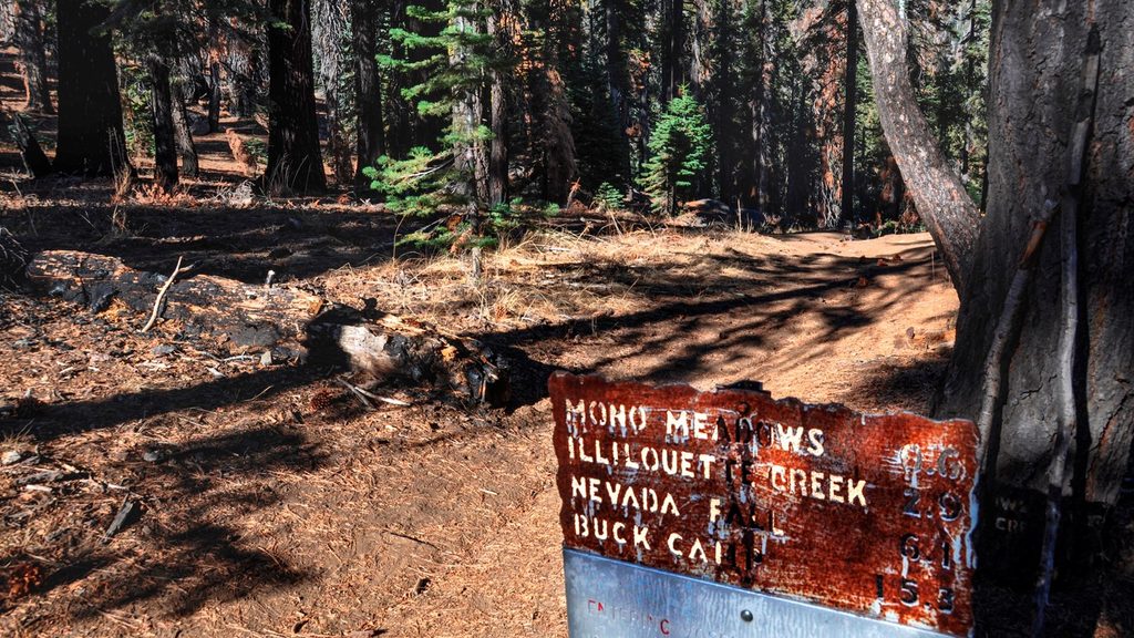
The trailhead sits along Glacier Point Road near Bridalveil Creek with a signed pullout, a wide parking area, bear boxes, and a basic pit toilet. There’s no potable water—treat natural sources. In winter, the nearby Ostrander Ski Hut (a historic stone cabin) operates for cross‑country skiers; it’s a separate, snow-route experience.
Strong day hikers looking for a full, varied outing, and backpackers seeking a scenic first or second overnight. Pack light—the last miles decide your day.
Place · 0.2 mi away
Place · 3.8 mi away
Place · 4.8 mi away
Place · 5.3 mi away
Challenging · 3.8 mi away
Easy · 3.8 mi away
Moderate · 5.3 mi away
Easy · 5.3 mi away

Parkwolf Tour Guide
