Happy Isles to Merced Lake Trail in Yosemite National Park

Yosemite National Park, CA

Happy Isles to Merced Lake Trail

Climb past two waterfalls to a high-country lake.

Photo: Flickr
Length
26.2mi
Time
18hr
Elev. change
3,258ft
Difficulty
Challenging
  • No dogs
  • High point 7,313 ft

Hear the audio tour

Happy Isles and Vernal Fall Footbridge

Overview

About Happy Isles to Merced Lake Trail

Why go

  • Links two major waterfalls with a remote high-country lake in one route.

Heads up

  • The 26.2-mile return and roughly 3,250-foot climb to the lake make this a multi-day commitment for most hikers.

Map & elevation

The route

Loading the Yosemite map
Full map
Elevation4,055–7,313 ft
TrailheadHappy Isles Trailhead37.73260, -119.55830
Keep this map with you offline in the Parkwolf app

Plan your hike

Before you go

Parking

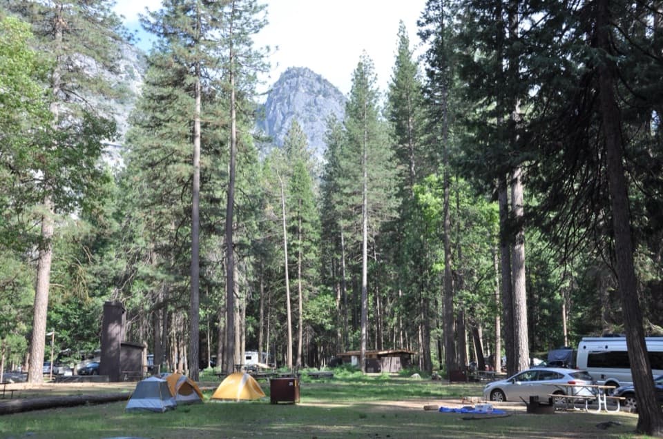
There is no parking at Happy Isles. Use the trailhead parking just beyond Curry Village, about a half-mile away. Limited overnight parking and food lockers are available at Yosemite Falls parking west of Yosemite Valley Lodge; the free Valley shuttle serves the trailheads.

Safety

This is a strenuous backcountry route with a long climb to high country. Overnight camping beyond Little Yosemite Valley requires the correct wilderness permit: Happy Isles to Past LYV. The Mist Trail alternative has steep, spray-wet stone steps; stay behind railings near waterfalls and never swim or wade at Emerald Pool or Silver Apron, where currents are dangerous. Pets are prohibited.

4 active Yosemite alerts

  • CautionMist Trail access limited during October repairsMentions Mist Trail, referenced in this guideThe Mist Trail between its John Muir Trail junction above the Vernal Fall footbridge and the top of Vernal Fall has limited access through October for repair work.Official details
  • ClosureDome Fire closes Glacier Point Road and trailsGlacier Point Road is temporarily closed because Dome Fire smoke reduces visibility and to allow firefighting operations; some trails south of the road are also closed.Official details
See all 4 alerts
The Parkwolf Tour Guide on a dash-mounted phone, driving into Yosemite Valley

“You're nearing the access for Happy Isles and the Vernal Fall hike. My pick for a shorter outing is the footbridge: one point six miles round trip from Happy Isles, with a steep climb taking one to one and a half hours.”

Yosemite Tour Guide

Yosemite, narrated.

Parkwolf is a GPS audio tour guide for Yosemite National Park. As you drive, it chimes in with what’s ahead: hidden gems, upcoming stops, history, geology, and wildlife, right through your car’s speakers.

See the Yosemite audio tour

Recorded for this trailhead

Happy Isles and Vernal Fall Footbridge
0:00 / 0:25
“You're nearing the access for Happy Isles and the Vernal Fall hike. My pick for a shorter outing is the footbridge: one point six miles round trip from Happy Isles, with a steep climb taking one to one and a half hours.”

Plays as you drive up to this trailhead in the Parkwolf Yosemite Tour Guide.

More stories near here in the app

  • Mirror Lake
  • Glacier Point
  • Curry Village and Stoneman Meadow
  • Washburn Point
  • 125 audio storiesacross Yosemite’s roads, triggered by GPS as you drive
  • Wildlife heatmapsfor Black Bear, Peregrine Falcon, Mule Deer, and 13 more
  • Works offlinemaps, 141 trails, 99 places, and audio download before you lose signal
  • CarPlay readysimple controls built for the drive
★★★★★
“We just drove through Yosemite and it made our trip listening to this app as we drove through. Like having a tour guide in the car with you.”
Roddy 3210App Store review
Download Parkwolf on the App StoreGet Parkwolf on Google Play

4.7 from 8,600+ ratings

Trail guide

Hiking Happy Isles to Merced Lake Trail

A long out-and-back into the high countryThis is a 26.2-mile round trip from Happy Isles to Merced Lake and back along the same corridor.

This is a 26.2-mile round trip from Happy Isles to Merced Lake and back along the same corridor. The listed 13.1 miles is one way; the saved map shows that outbound corridor once. It climbs past Vernal and Nevada Falls, through Little Yosemite Valley, then east along the Merced River corridor to the lake. Elevation rises from about 4,050 feet to 7,310 feet. Allow around 18 hours of walking, usually divided over two or three days. This is a serious wilderness backpacking trip, not a casual day hike.

The waterfall approachFrom Happy Isles, the trail climbs beside steep granite and reaches the Vernal Fall footbridge…

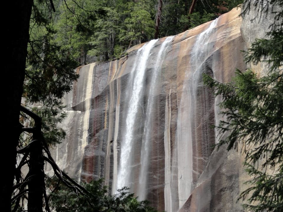
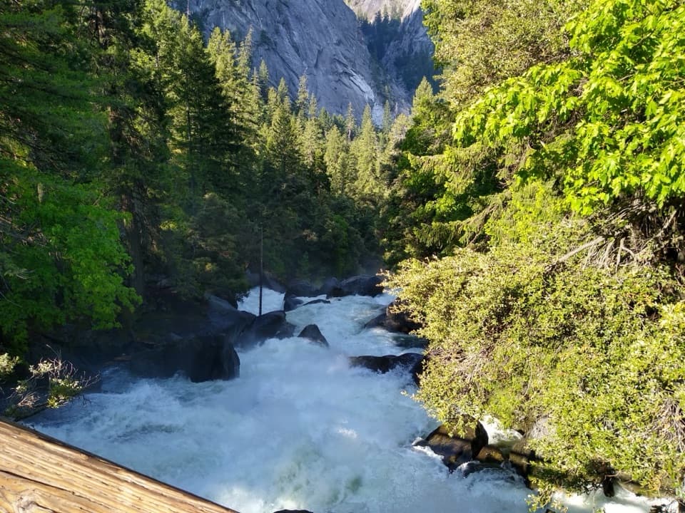
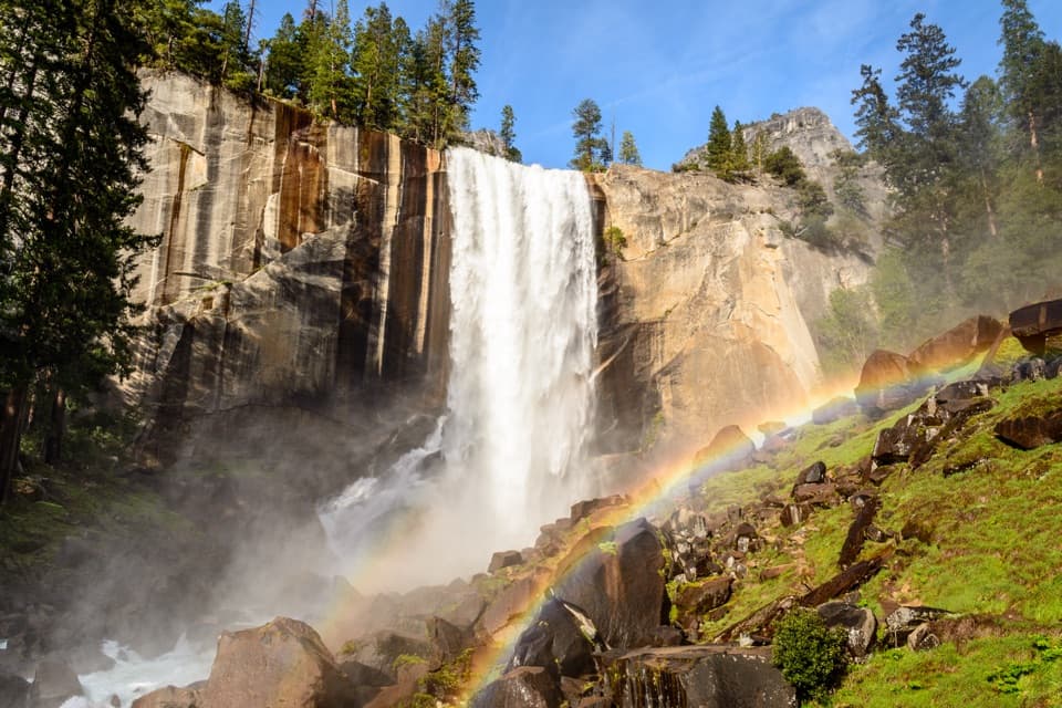
From Happy Isles, the trail climbs beside steep granite and reaches the Vernal Fall footbridge about 0.8 mile in. The John Muir Trail continues to Nevada Fall and Little Yosemite Valley on a longer, lower-angle route than the steeper Mist Trail. The waterfall views are the early payoff; spring and early summer usually bring the strongest flows. The falls section is also the busiest part of the trip, so keep moving on narrow stairways and landings.

Past Little Yosemite ValleyLittle Yosemite Valley marks the shift from the familiar waterfall corridor to a longer…

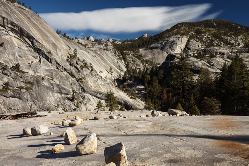
Little Yosemite Valley marks the shift from the familiar waterfall corridor to a longer high-country walk. Beyond it, the route follows the Merced River corridor east, steadily gaining toward Merced Lake. The lake sits within Yosemite’s network of high-country camps, but this version returns to Happy Isles rather than continuing through to Tuolumne Meadows. Near the lake, pale granite slabs and scattered boulders open toward a forested canyon.

Permits, pets, and getting to the startFor an overnight trip camping beyond Little Yosemite Valley toward Merced Lake, use the Happy…

For an overnight trip camping beyond Little Yosemite Valley toward Merced Lake, use the Happy Isles to Past LYV wilderness-permit trailhead. The separate Happy Isles to LYV permit is for hikers spending their first night at Little Yosemite Valley. Pets are prohibited on park trails and in wilderness. There is no parking at Happy Isles: trailhead parking is just beyond Curry Village, about a half-mile away. Limited overnight parking and food lockers are available at Yosemite Falls parking west of Yosemite Valley Lodge, with the free Valley shuttle serving trailheads.

A shorter waterfall hikeIf the lake is too much mileage, the top of Nevada Fall is a separate 5.

If the lake is too much mileage, the top of Nevada Fall is a separate 5.4-mile round trip via the Mist Trail, with about 2,000 feet of gain. Its stone stairway is much steeper and can be slick with spray. Stay behind railings near flowing water, and do not swim or wade at Emerald Pool or Silver Apron; the current there is dangerous.

Wildlife

Wildlife in Yosemite

All Yosemite wildlife maps

Sighting maps show where each species has been reported across Yosemite. Wildlife moves, so no sighting is guaranteed.

Keep exploring

Near Happy Isles to Merced Lake Trail

See it all on the map

Trails that start nearby

Places near the trailhead

Parkwolf’s Yosemite ranking

Top-rated trails in Yosemite

All 141 trails
  1. 1Half Dome TrailChallenging · 14.3 mi
  2. 2Clouds Rest TrailChallenging · 14 mi
  3. 3Nevada Fall Loop via Mist and John Muir TrailsChallenging · 6.4 mi
  4. 4Yosemite Falls TrailChallenging · 7.2 mi
  5. 5Panorama TrailChallenging · 8.2 mi
  6. 6Four Mile TrailChallenging · 4.8 mi

Take Parkwolf to Yosemite.

The audio tour guide for the drive, plus offline maps, trails, and wildlife heatmaps for when the signal drops.

4.7 from 8,600+ ratings

Download Parkwolf on the App StoreGet Parkwolf on Google Play