Parking
Park just beyond Curry Village, about a half-mile from Happy Isles, or take the free Yosemite Valley shuttle to stop 16. Parking is not available at Happy Isles.

Yosemite National Park, CA
A gentler JMT climb past two falls into a granite valley.
Overview
Map & elevation
Plan your hike

“You're nearing the access for Happy Isles and the Vernal Fall hike. My pick for a shorter outing is the footbridge: one point six miles round trip from Happy Isles, with a steep climb taking one to one and a half hours.”
Yosemite Tour Guide
Parkwolf is a GPS audio tour guide for Yosemite National Park. As you drive, it chimes in with what’s ahead: hidden gems, upcoming stops, history, geology, and wildlife, right through your car’s speakers.
See the Yosemite audio tourRecorded for this trailhead
Happy Isles and Vernal Fall Footbridge“You're nearing the access for Happy Isles and the Vernal Fall hike. My pick for a shorter outing is the footbridge: one point six miles round trip from Happy Isles, with a steep climb taking one to one and a half hours.”
Plays as you drive up to this trailhead in the Parkwolf Yosemite Tour Guide.
More stories near here in the app
“We just drove through Yosemite and it made our trip listening to this app as we drove through. Like having a tour guide in the car with you.”


Trail guide
Little Yosemite Valley Trail is a 9.6-mile out-and-back from Happy Isles with about 2,150 feet of climbing. Follow the John Muir Trail past Vernal and Nevada Falls, then continue into the forested glacial valley beside the Merced River. This is a full-day hike; allow about 6–8 hours with time for the falls and the valley. The mapped route uses the JMT’s longer, lower-angle climb. The Mist Trail is a shorter, steeper alternative around Vernal Fall, but it is not the route shown here.
The first paved mile is the busiest part of the approach, and the Vernal Fall Footbridge is about 0.8 mile from Happy Isles. Stay on the JMT at the junction; its switchbacks climb more gradually toward Nevada Fall. From the bridge above Nevada Fall, you can look down on the Merced as it drops 594 feet and across toward Liberty Cap. The Mist Trail gives a closer, much steeper climb beside Vernal Fall, with more than 600 stone steps and slippery spray in spring and early summer.
Beyond Nevada Fall, the JMT continues through forest and granite into Little Yosemite Valley. The turnaround is near the backpackers’ campground by the Merced, not at Half Dome or a summit. This glacial valley is a good place to pause before retracing the same route. A composting toilet is available near camp, but there is no potable water; the nearby river is the only source and its water must be treated. Bears frequent the area, so secure food and toiletries in a locker or bear canister.
Park just beyond Curry Village, about a half-mile from Happy Isles, or take the free Yosemite Valley shuttle to stop 16; there is no parking at Happy Isles. Overnight camping in Little Yosemite Valley requires a wilderness permit, and demand is very high. A separate permit is required if you continue to Half Dome. Pets are not allowed on Yosemite hiking trails. In winter, the upper JMT between Clark Point and Nevada Fall closes for ice; open sections can also be icy or snowy, so check current trail conditions before setting out.
Wildlife
 732 sightingsBlack BearMost seen around 7 PMSighting map
 1,747 sightingsMule DeerMost seen around 6 PMSighting map
 332 sightingsCoyoteMost seen around 7 PMSighting map
 11 sightingsPeregrine FalconMost seen around 8 AMSighting map
 276 sightingsPikaMost seen around 8 AMSighting map
 677 sightingsYellow-bellied MarmotMost seen around 8 AMSighting map
Sighting maps show where each species has been reported across Yosemite. Wildlife moves, so no sighting is guaranteed.
Keep exploring
 ChallengingNevada Fall Loop via Mist and John Muir Trails6.4 mi · 6.5 hr · At the trailheadTwo giant waterfalls, 600 granite steps, and a different way back.
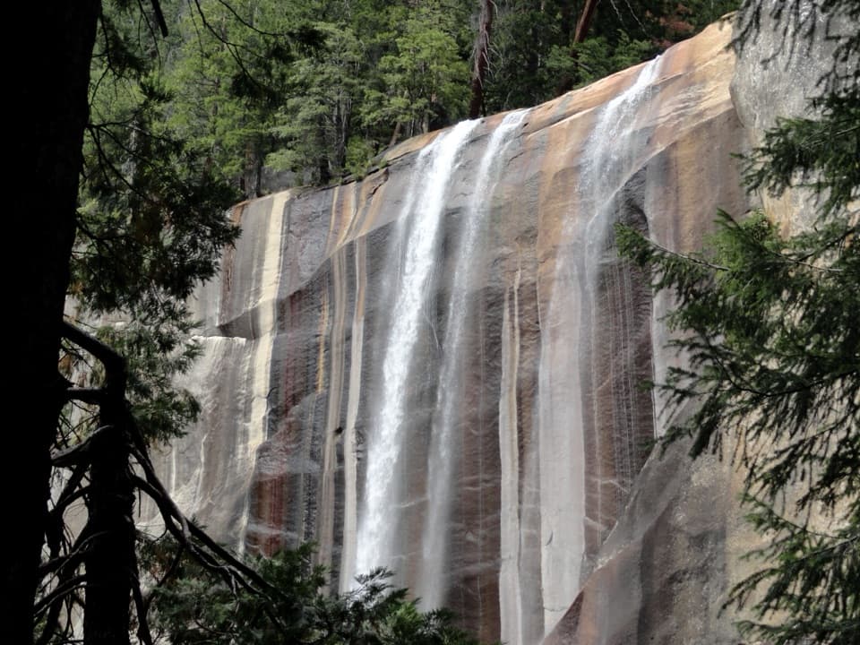 ChallengingVernal Fall Trail2.9 mi · 3 hr · At the trailheadClimb 600 granite steps beside Vernal Fall to its brink.
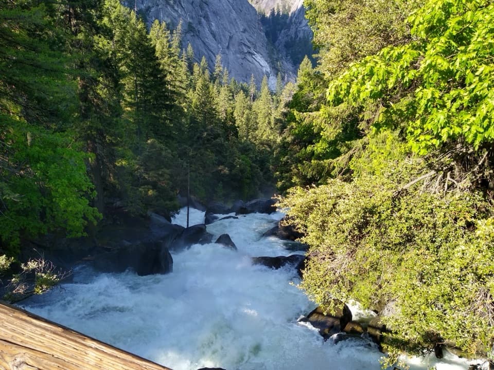 ModerateVernal Fall Footbridge Trail1.6 mi · 1.3 hr · At the trailheadA short, steep climb to a footbridge below Vernal Fall.
 ChallengingHalf Dome Trail14.3 mi · 11 hr · At the trailheadWaterfalls first, then an exposed cable climb to a High Sierra summit.
 ChallengingJohn Muir Trail: Happy Isles to Donohue Pass35.4 mi · 1 day · At the trailheadWaterfalls at the start, then high Sierra miles to Donohue Pass
 EasyHappy Isles Nature Trail to the Fen0.8 mi · 30 min · At the trailheadA short, accessible walk to a groundwater-fed Yosemite Valley fen.
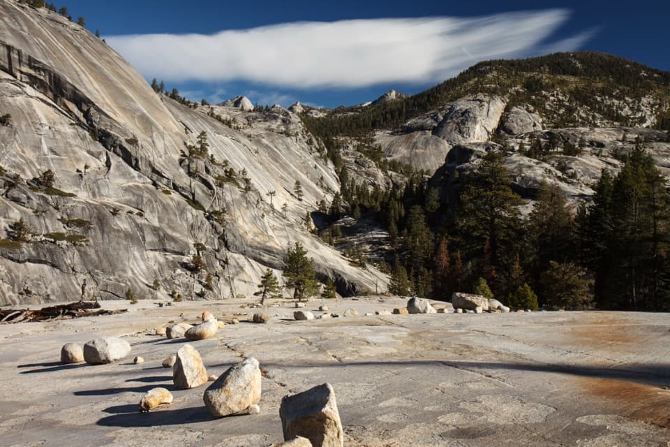 ChallengingHappy Isles to Merced Lake Trail26.2 mi · 18 hr · At the trailheadClimb past two waterfalls to a high-country lake.
 EasyMirror Lake Paved Trail2 mi · 1 hr · 0.5 mi awayA short paved walk with Half Dome and seasonal lake reflections.
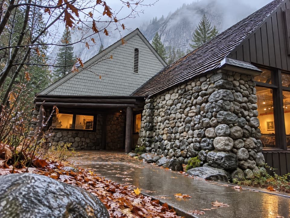 Sight · 0.2 mi awayHappy Isles Art and Nature CenterHands-on nature displays, with river-isle walks just outside.
 Campground · 0.5 mi awayUpper Pines CampgroundFor Valley days, a handy camp with close sites and shuttle access.
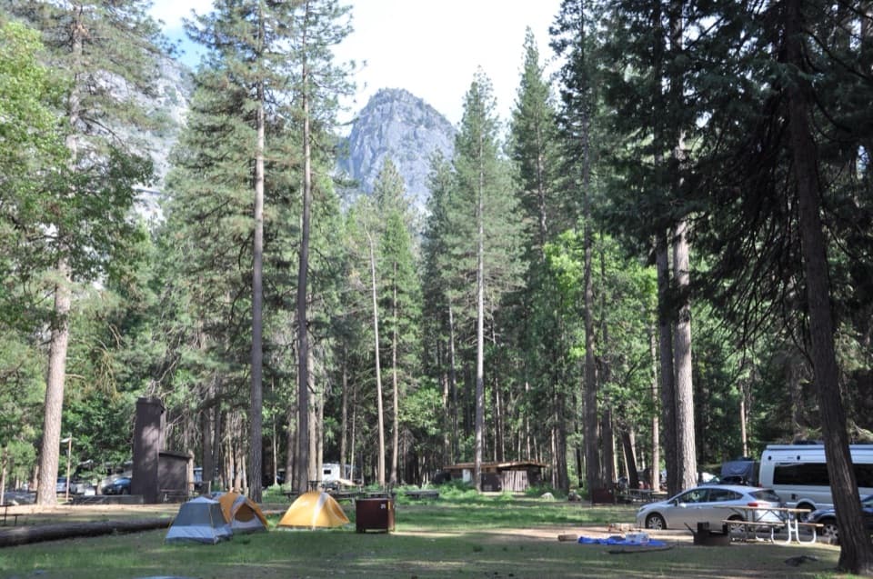 Campground · 0.7 mi awayLower Pines CampgroundA riverside Yosemite Valley base with free shuttle access.
 Campground · 0.7 mi awayNorth Pines CampgroundRiverfront camping with a chance of Half Dome through the trees.
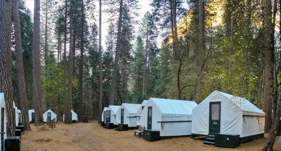 Lodging · 0.9 mi awayCurry VillageHistoric tent-cabin lodging with dining in Yosemite Valley.
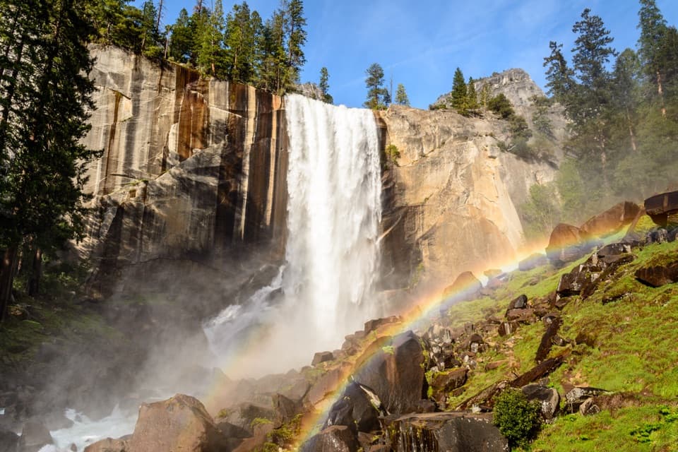 Sight · 0.9 mi awayVernal FallSpring spray can frame the 317-foot waterfall in rainbows.
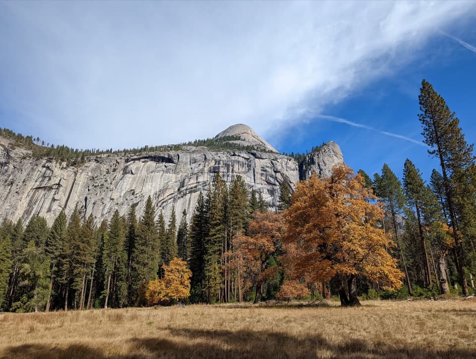 Sight · 0.9 mi awayStoneman MeadowHalf Dome glows above an easy boardwalk through meadow grass.
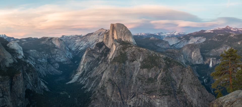 Sight · 0.9 mi awayGlacier PointA broad panorama of Yosemite Valley, Half Dome and waterfalls.
Parkwolf’s Yosemite ranking

The audio tour guide for the drive, plus offline maps, trails, and wildlife heatmaps for when the signal drops.



